About this sheet
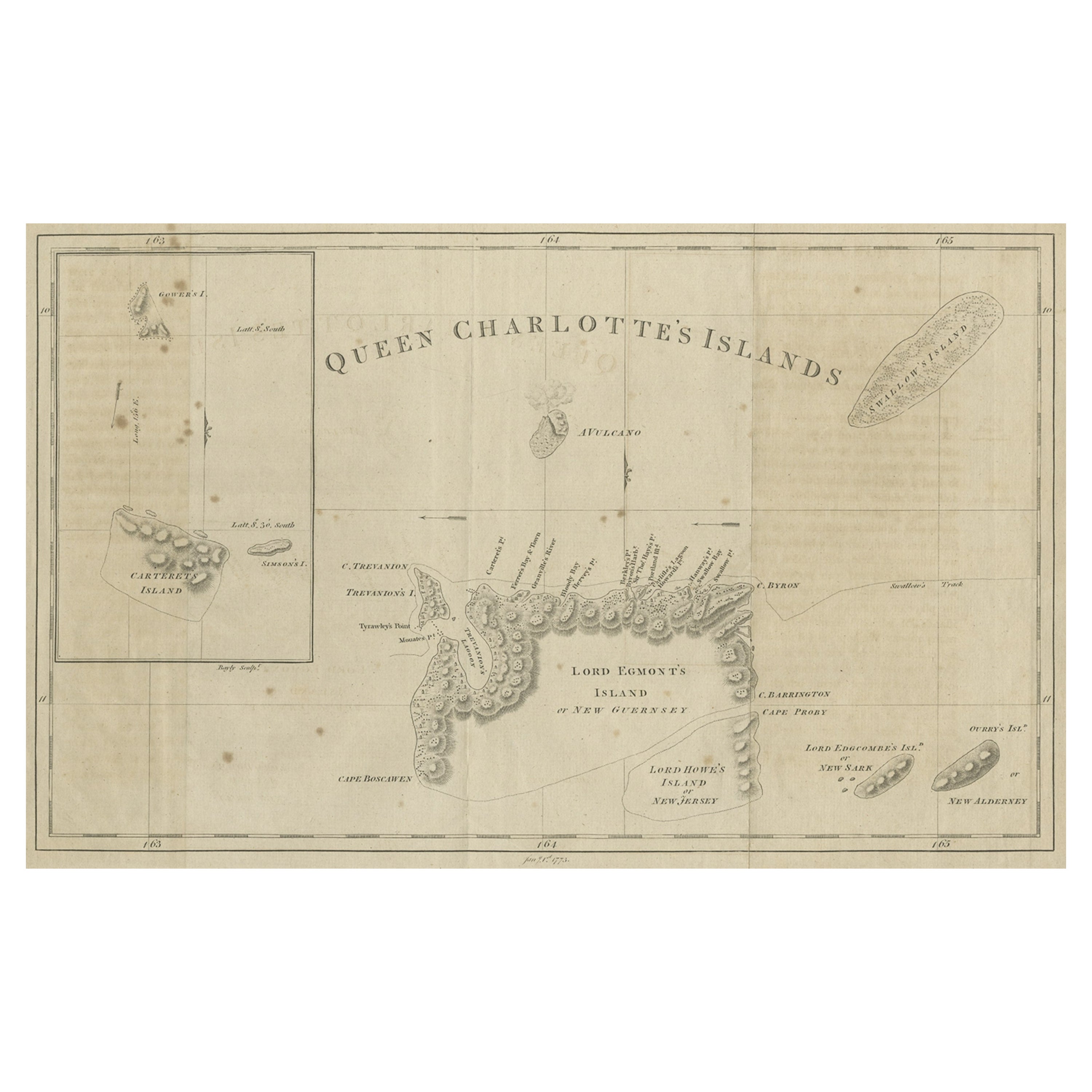
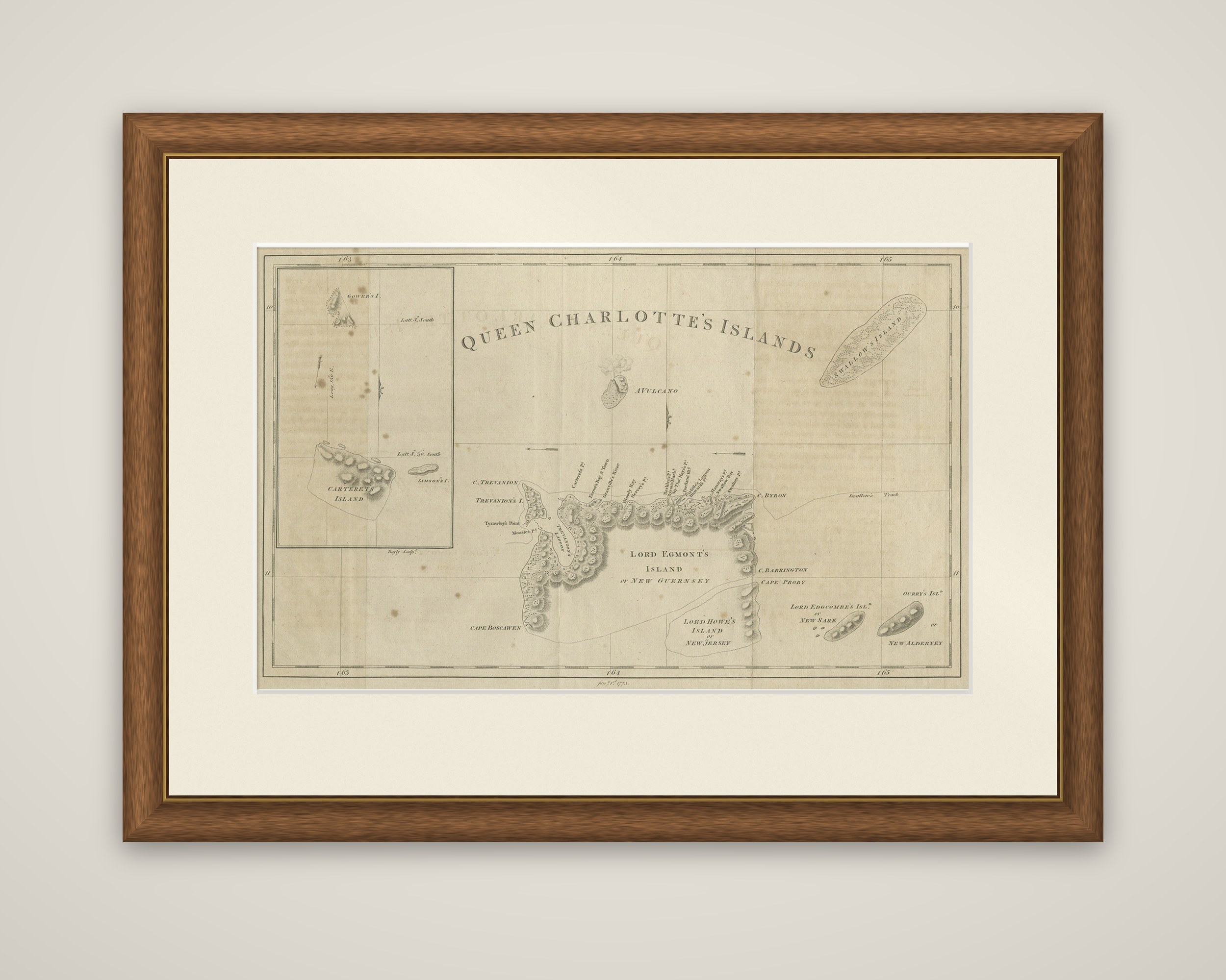
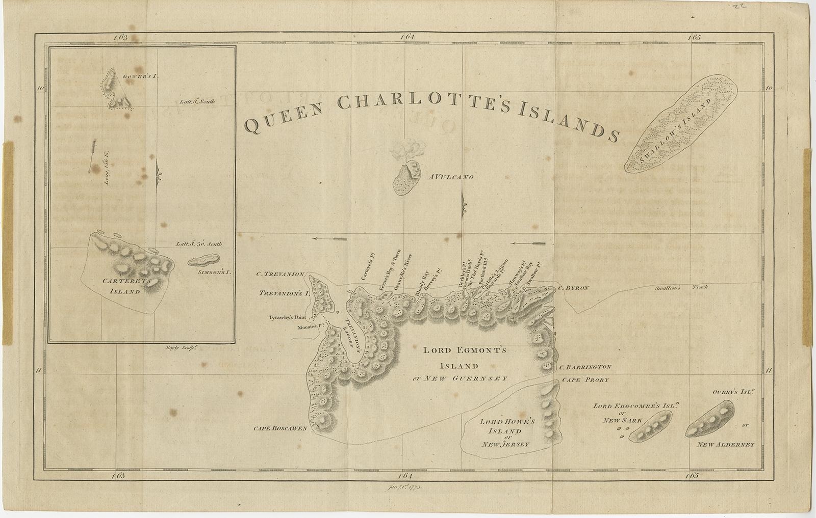
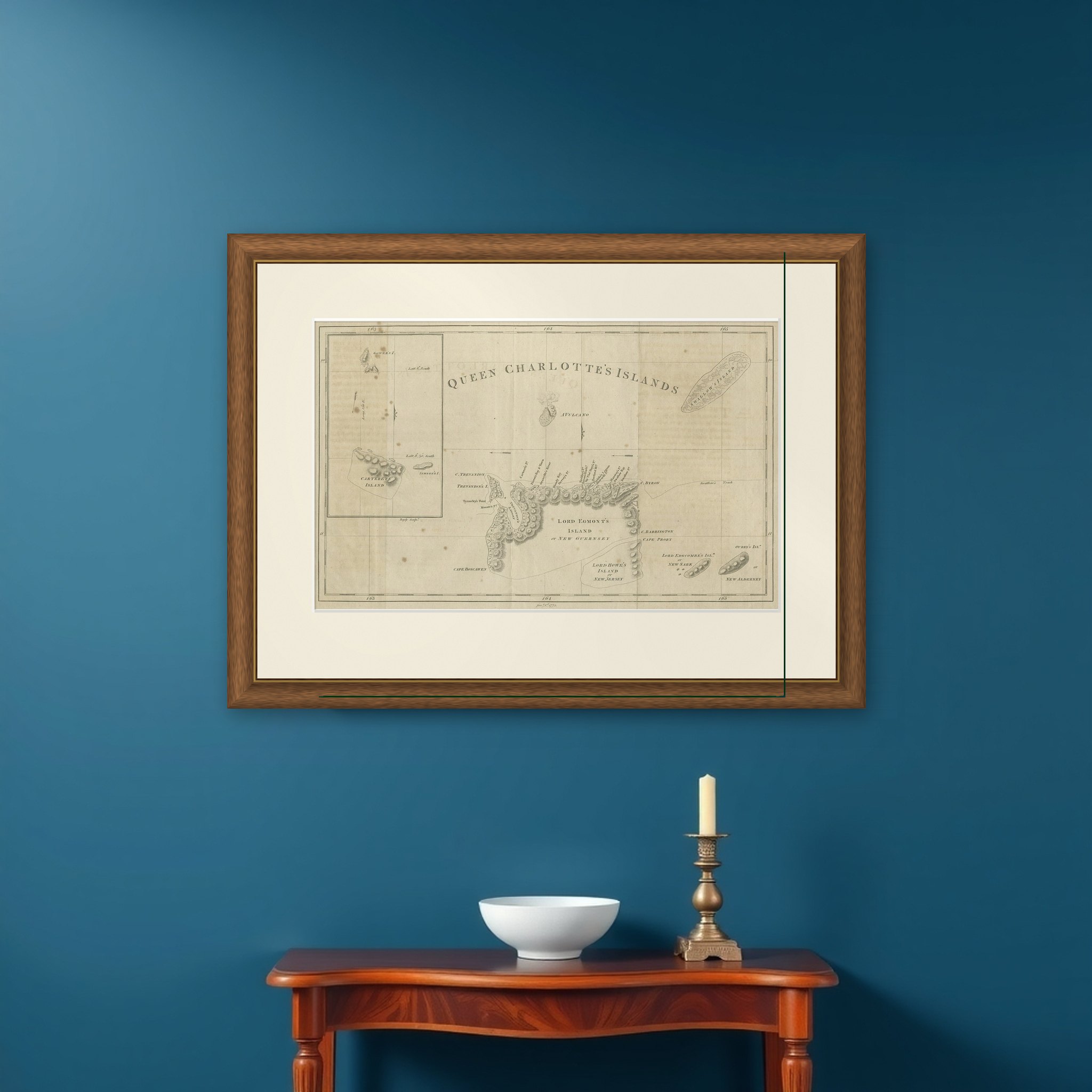
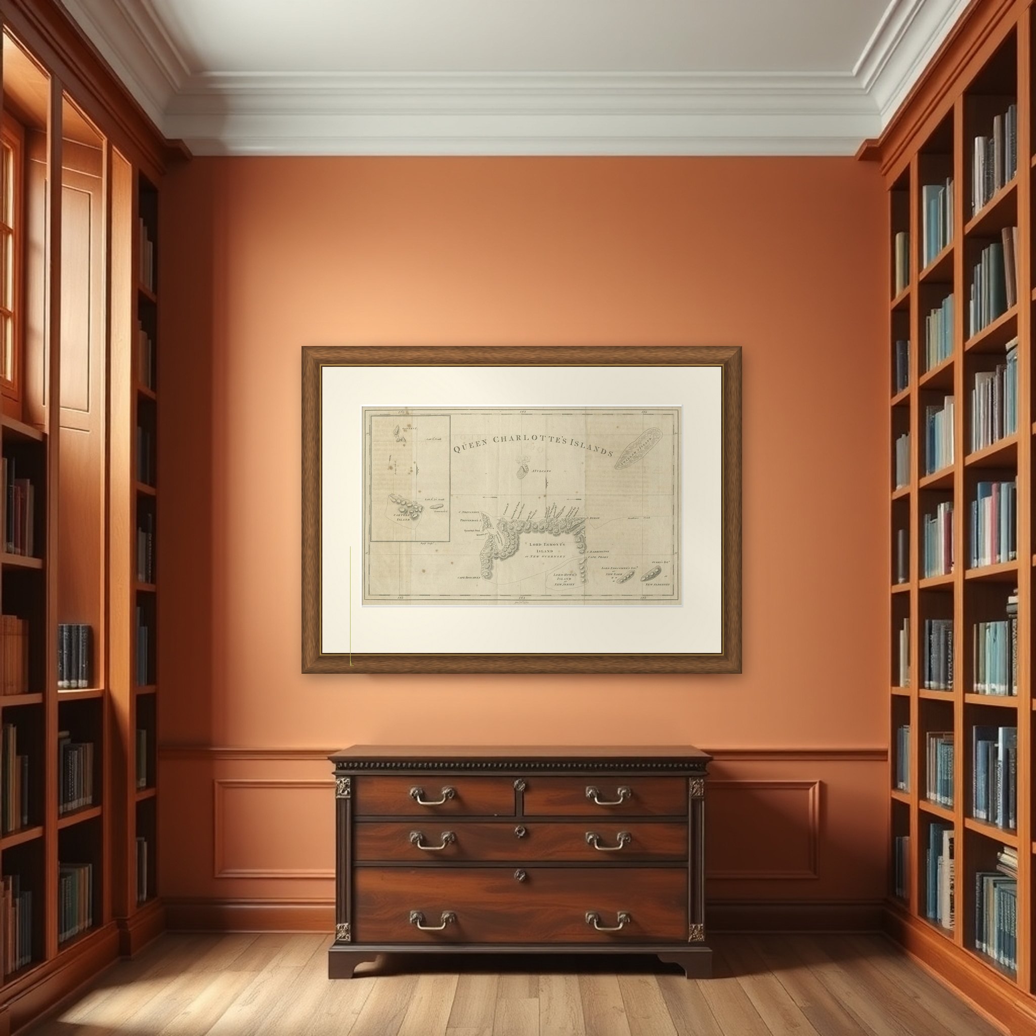
Queen Charlotte's Islands, an original engraved map of 1773 from an edition of the voyages of James Cook, in the collection of voyages round the world compiled by George William Anderson. The title is lettered across the top of the sheet, and the date 1773 appears in the lower margin. The map is printed in black.
The sheet shows a group of islands in the southwest Pacific discovered by Philip Carteret in the Swallow in 1767. The largest, Lord Egmont's Island, also called New Guernsey, lies at the center with its coast marked by headlands, bays and a mountain range. Others named are Lord Howe's Island or New Jersey, Lord Edgcombe's Island or New Sark, Ourry's Island or New Alderney, and a volcano. A track line across the top shows the Swallow's course. An inset at the left shows Carteret's, Simpson's and Gower's Islands, with their latitudes.
These are not the Queen Charlotte Islands of British Columbia, which were named later by a different navigator. The Pacific group depicted here is part of what is now the Santa Cruz Islands, in the eastern Solomon Islands, and the map belongs to the exploration of the South Pacific rather than the Americas.