Maps & PrintsBartele Gallery · Langweer
Home / Antique Maps / Sea Charts

Sea Charts

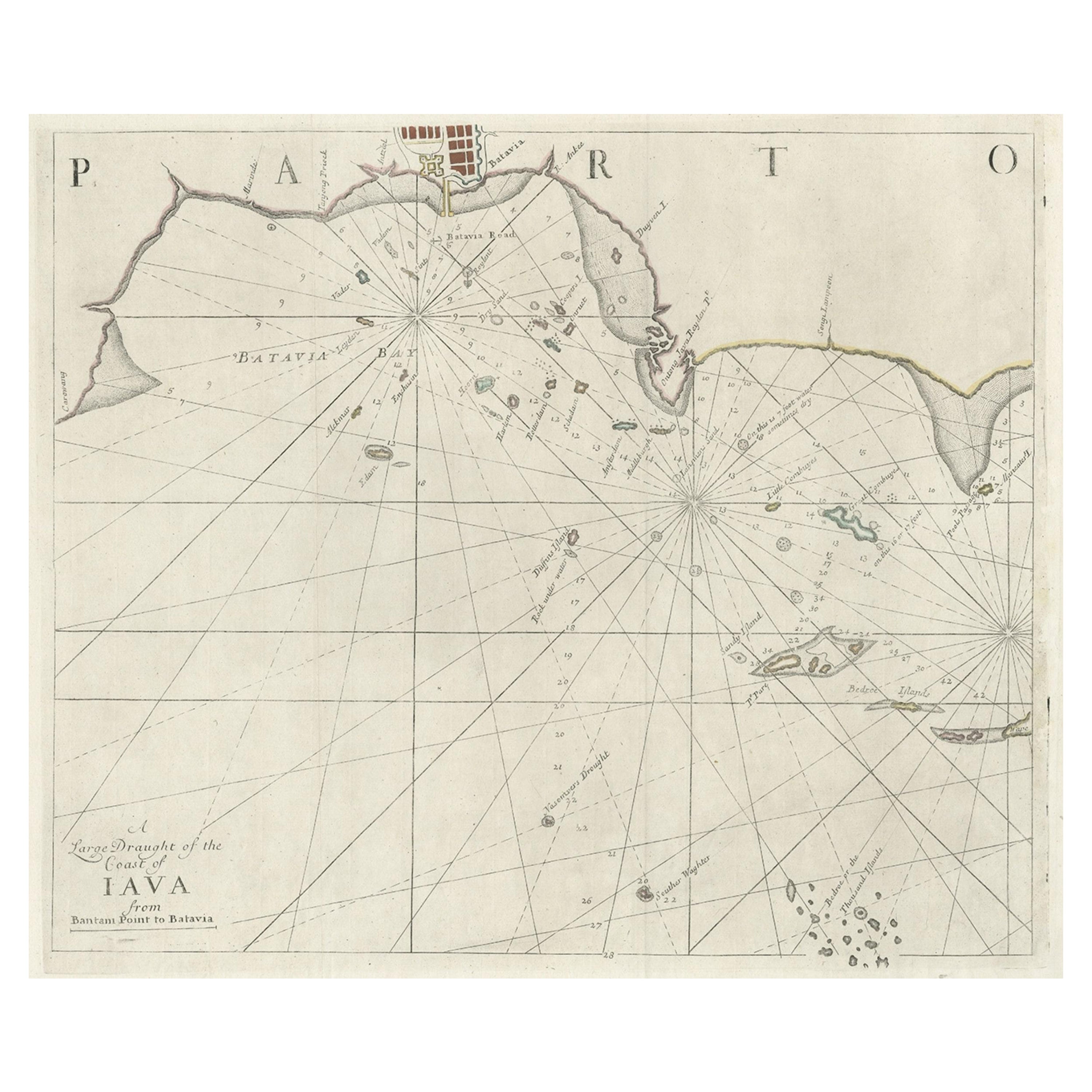
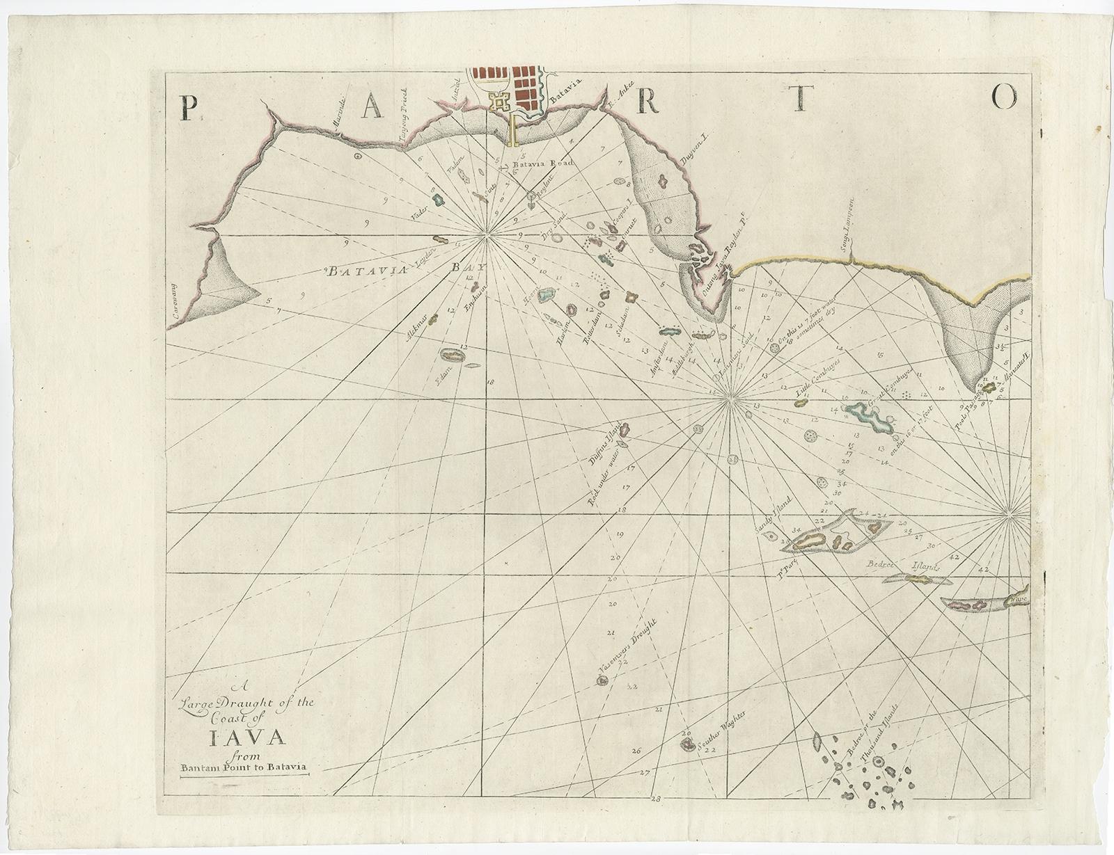
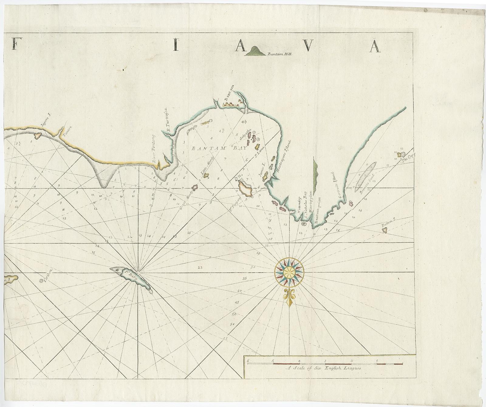
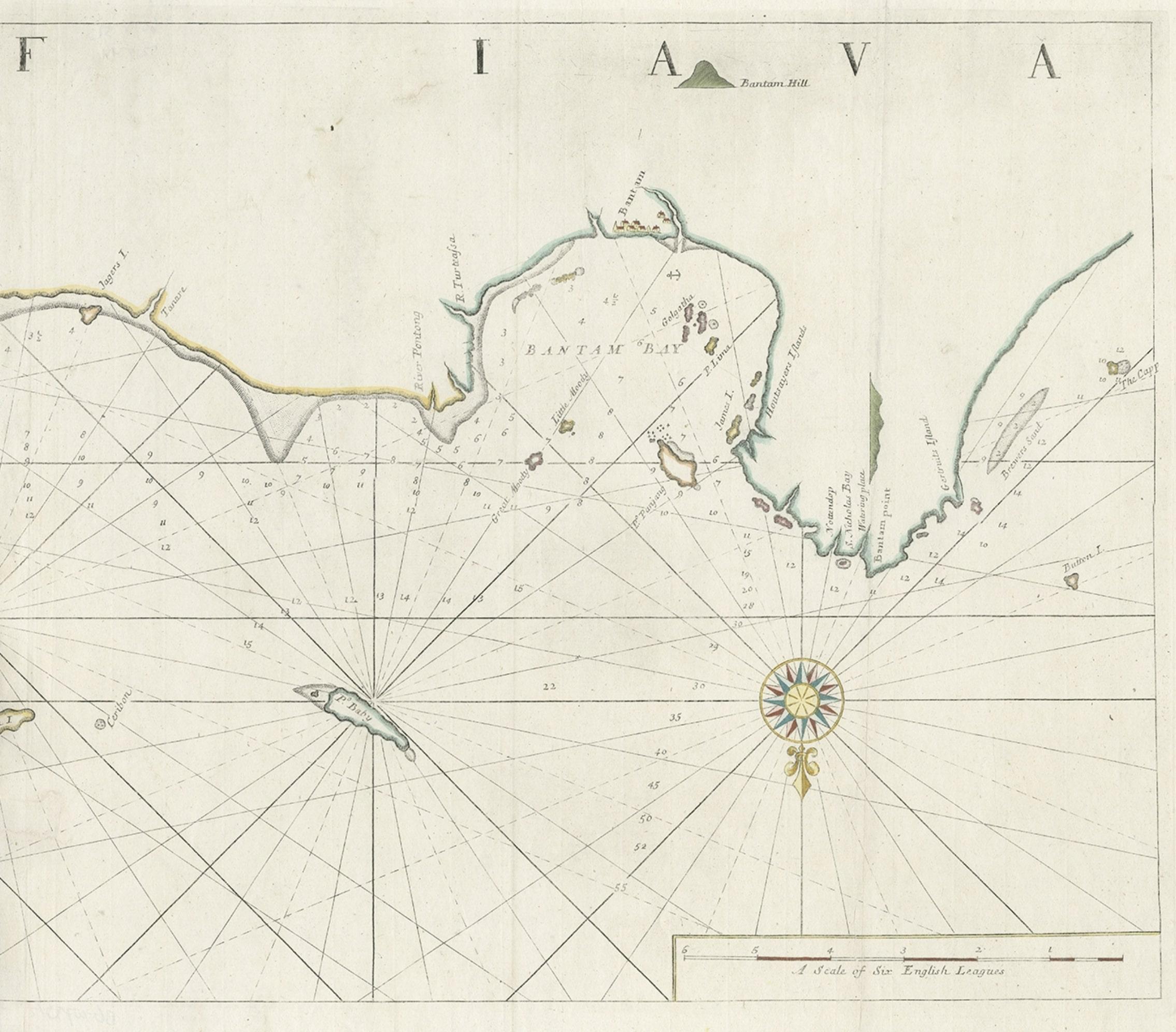
Two Antique Sea Charts of the Thousand Islands between Batavia and Bantam, c1734

€ 1 650

Original antique · The actual sheet photographed · Certificate of authenticity on request · Sold unframed · Worldwide shipping from € 15 (rates)

Sheet size
51 × 126 cm (20.1 × 49.6 in)
Condition
Good
Reference
BG-00779

Condition

Minor tears and repairs. Map has been cleaned before. Please review the images for further condition details.
About this sheet

Antique maps titled 'A large draught of the Coast of Iava from Bantam Point to Batavia'. Two seperate sheets, joined together they depict the island of Java, Indonesia.

Condition: Good. Minor tears and repairs. Map has been cleaned before. Please study image carefully.

More from Sea Charts

Ask about this sheet

Two Antique Sea Charts of the Thousand Islands between Batavia and Bantam, c1734
Ref. BG-00779 · € 1 650
We reply by email, usually within one working day.