Maps & PrintsBartele Gallery · Langweer
Home / Antique Maps / Asia / South-East Asia / East Indies

East Indies · 18th century

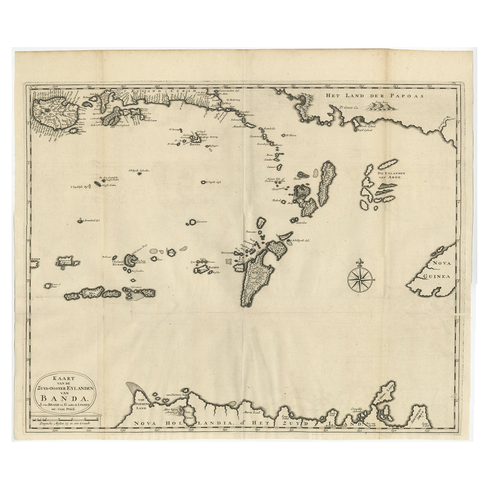
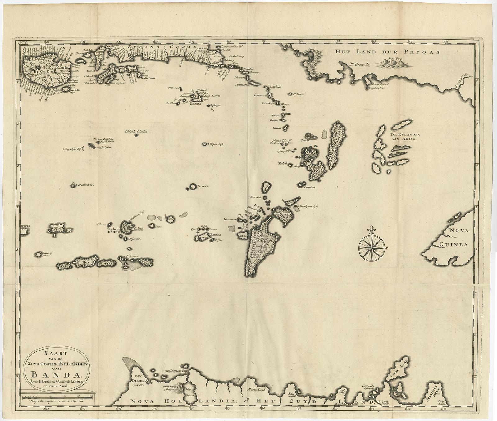
Original Antique Map Southeast of the Banda or Spice Islands, Indonesia, 1726

€ 770

Original antique · The actual sheet photographed · Certificate of authenticity on request · Sold unframed · Worldwide shipping from € 15 (rates)

Date
1726
Sheet size
50 × 59 cm (19.7 × 23.2 in)
Condition
Good
Reference
BGRN-246

Condition

Repair on lower folding line. Please review the images for further condition details.
About this sheet

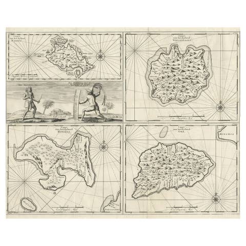
Antique map titled 'Kaart van de Zuyd-Ooster Eylanden van Banda'.

Map of the southeastern part of the Banda islands. This map originates from 'Oud en Nieuw Oost-Indiën' by F. Valentijn.

Artists and Engravers: François Valentijn (1666-1727), a missionary, worked at Amboina from 1684 to 1694 and 1705 to 1713 and travelled extensively in the VOC's lands.

Condition: Good, repair on lower folding line. Please study image carefully.

More from East Indies

Ask about this sheet

Original Antique Map Southeast of the Banda or Spice Islands, Indonesia, 1726
1726 · Ref. BGRN-246 · € 770
We reply by email, usually within one working day.