About this sheet
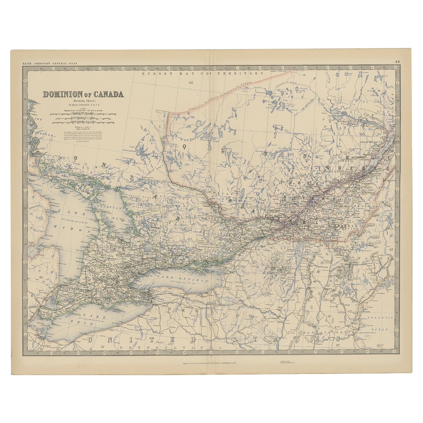
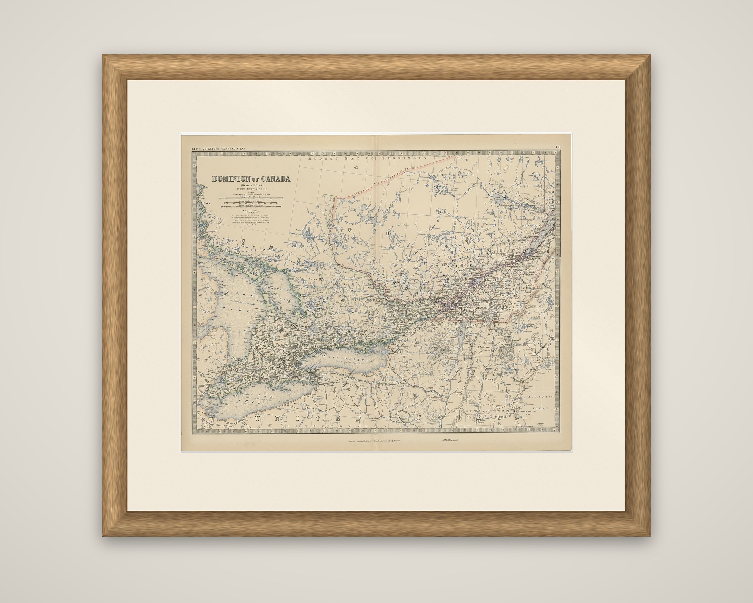
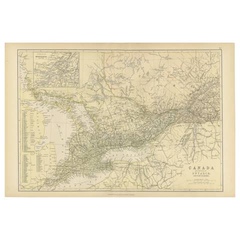
Dominion of Canada (Western Sheet), an original engraved map of 1882 by Keith Johnston, printed by W. and A.K. Johnston of Edinburgh. The old listing places it in The Royal Atlas of Modern Geography, while the running head on the sheet reads "Keith Johnston's General Atlas", with the plate number 44 at the upper right. The title block at upper left, with its scales, is lettered "Dominion of Canada (Western Sheet) by Keith Johnston, F.R.S.E."
Despite the title, the sheet covers the settled core of the country as it stood in 1882: Ontario and Quebec, from Lake Huron and Lake Erie in the southwest to the lower St. Lawrence and the Atlantic at the right. Lake Ontario, Georgian Bay and the Ottawa and St. Lawrence valleys are carried in blue, with railways, towns and counties finely engraved along the southern edge. The border with the United States appears at the bottom, with New York, Pennsylvania and the New England states named, and the Hudson Bay Territory is marked across the top. Provincial boundaries are outlined in color.
Alexander Keith Johnston (1804 to 1871) was a Scottish geographer who founded the Edinburgh cartographic firm with his brother William.