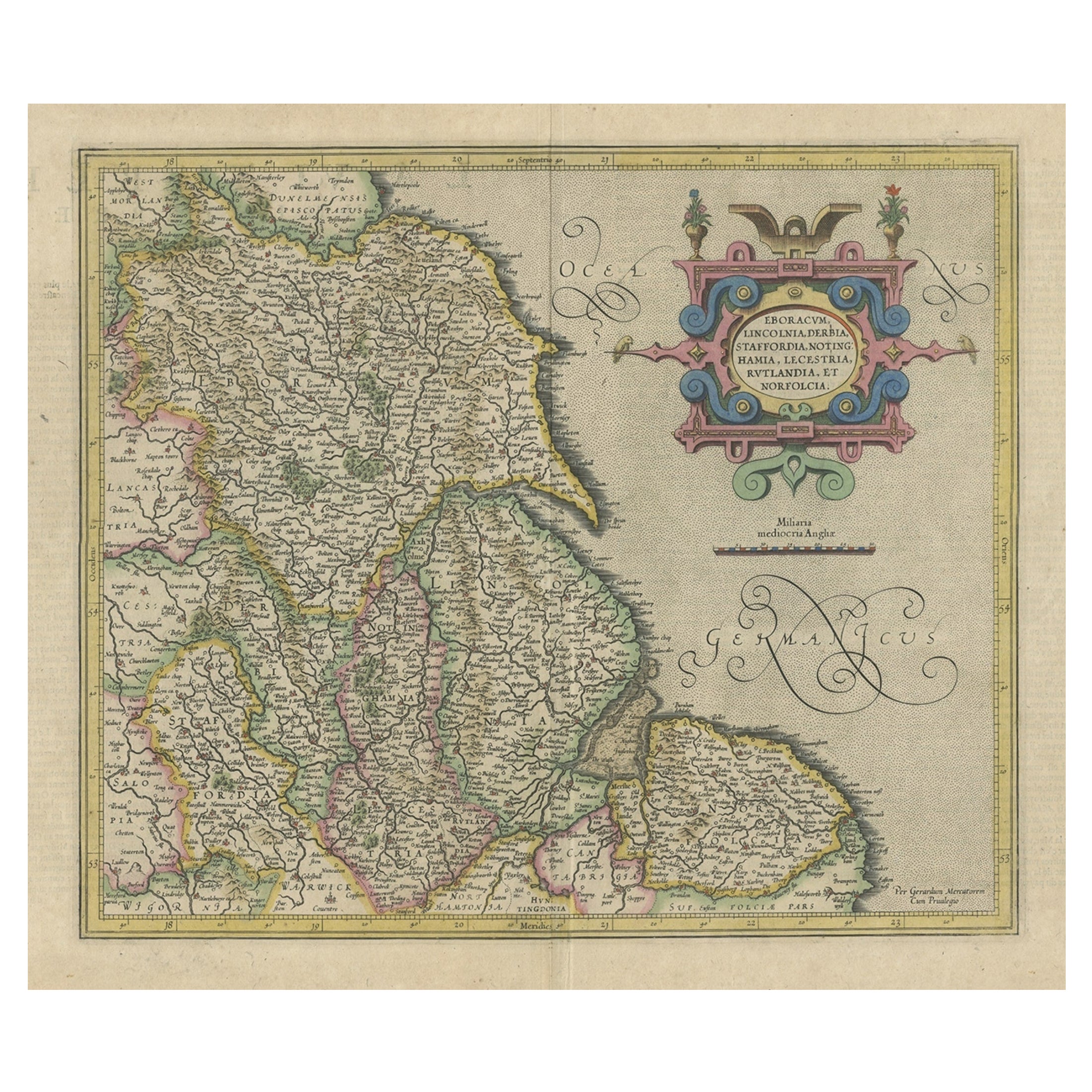
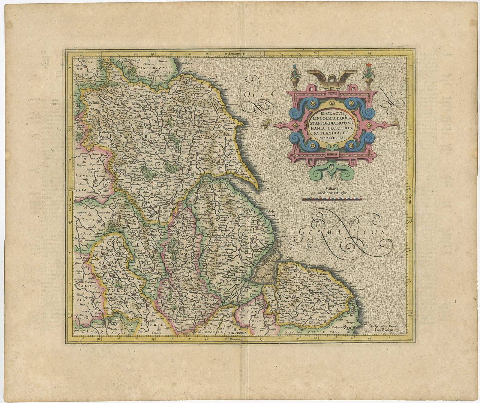
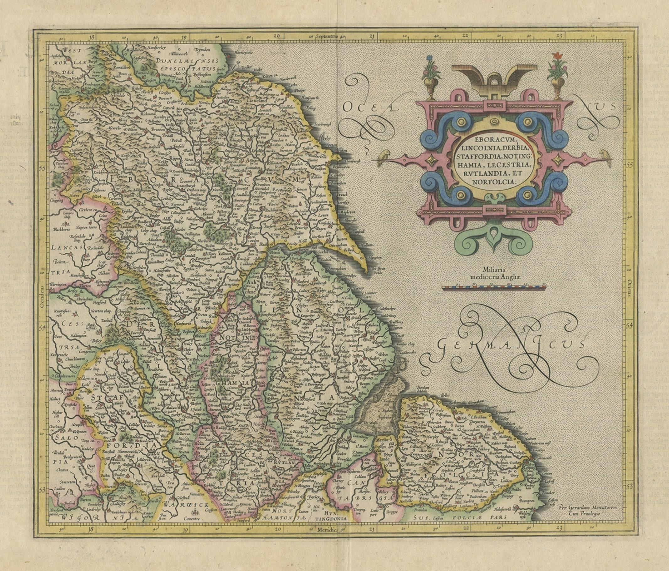
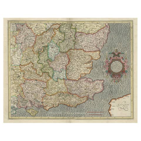
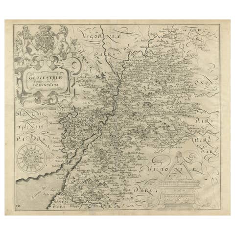
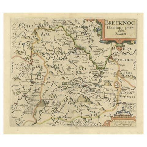
Decorative early map of the northeast of England, comprising the counties of Yorkshire, Lincolnshire, Derbyshire, Staffordshire, Nottinghamshire, Leicestershire, Rutland and Norfolk. Originates from 'Atlas Sive Cosmographia' by G. Mercator.
Artists and Engravers: Gerard Mercator is one of the most famous cartographers of all time. Mercator was born in Flanders and educated at the Catholic University in Leuven. After his graduation in 1532, Mercator worked with Gemma Frisius, a prominent mathematician, and Gaspar a Myrica, a goldsmith and engraver. Together, these men produced globes and scientific instruments, allowing Mercator to hone his skills. Mercator’s most important contribution was the creation and popularization of a projection which now bears his name. On Mercator projection maps, all parallels and meridians are drawn at right angles to each other, with the distance between the parallels extending towards the poles. This allowed for accurate latitude and longitude calculation and also allowed navigational routes to be drawn using straight lines, a huge advantage for sailors as this allowed them to plot courses without constant recourse to adjusting compass readings.
Condition: Good, original/contemporary hand coloring. Age-related toning, minor wear and soiling. French text on verso, please study image carefully.