Antique Maps
5,418 original sheets
Europe 3023Asia 1110Africa 236America 548Australia & Oceania 159World Maps 111Sea Charts 209Celestial Maps 22
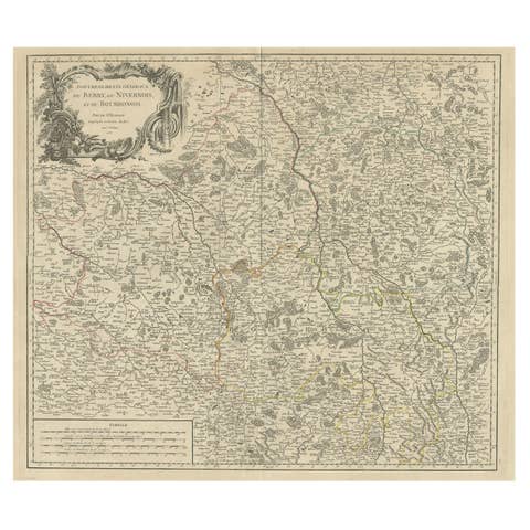
Large Antique Map of the Region of Berry, Nivernois & Bourbonnais, France, 1753
1753 · € 560
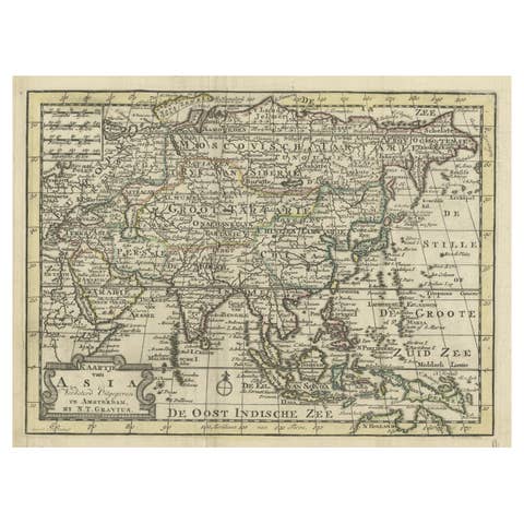
Rare Hand-Colored Antique Map of Asia, 1788
1788 · € 620
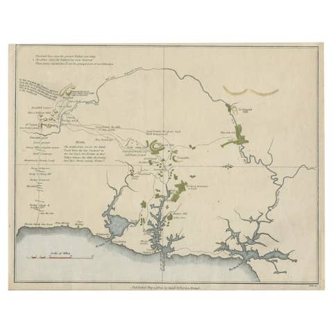
Early Map of Sydney with Botany Bay, Port Jackson & Broken Bay, Australia, 1802
1802 · € 1 130
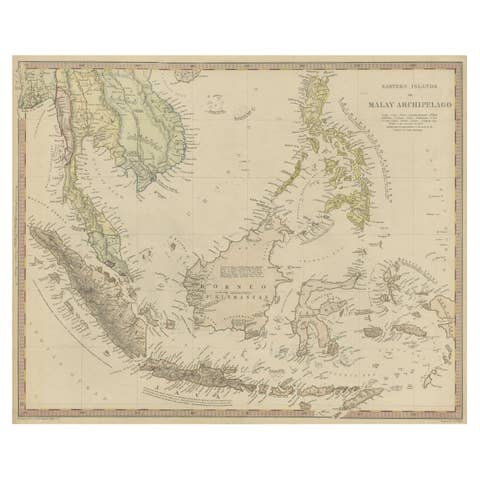
Original Antique Map of the Dutch East Indies, Nowadays Indonesia, ca.1840
1840 · € 240
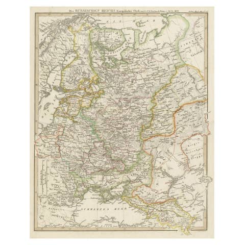
Original Antique German Map of the Russian Empire in Europe, ca.1825
1825 · € 180
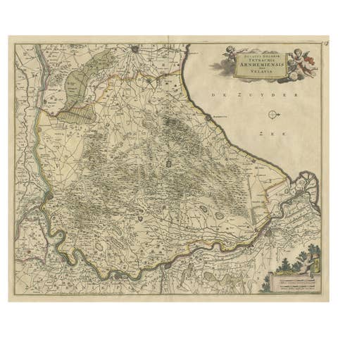
Beautiful Map of Arnhem and the Veluwe Region, Gelderland, The Netherlands, 1690
1690 · € 980
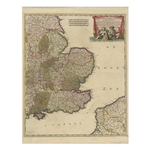
Detailed Antique Map of Southeast England, incl Warwickshire and Hampshire, 1690
1690 · € 850
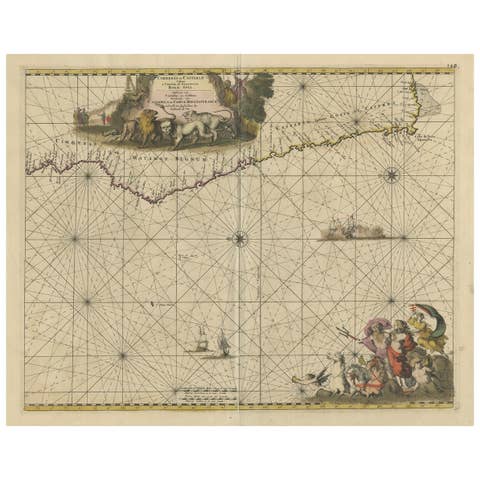
Antique Map of the Coast of Angola Up to Port Elizabeth in South Africa, 1675
1675 · € 950
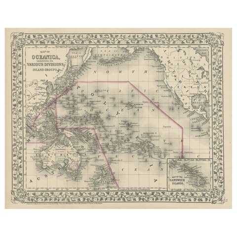
Old Map of the Pacific, Incl Australia, Polynesia, Melanesia and Malaysia, 1872
1872 · € 190
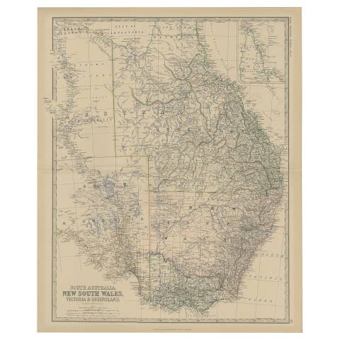
Old Map of Southern Australia, with an Inset Map of Cape York Peninsula, 1882
1882 · € 290
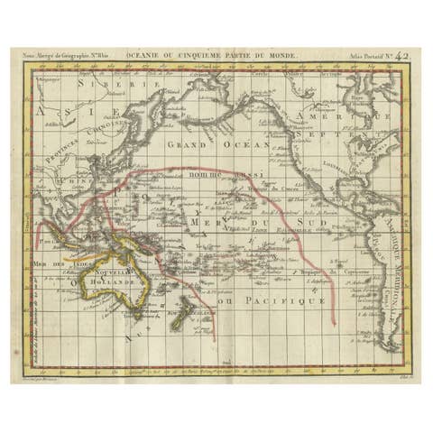
Original Antique Map of Oceania, the 5th Continent, 1816
1816 · € 280
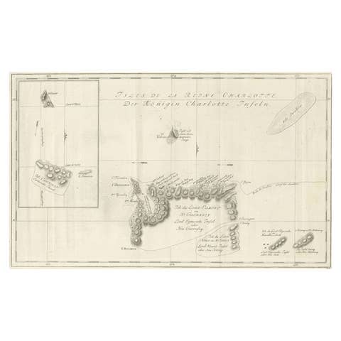
Original Antique Chart of the Santa Cruz Islands, 1774
1774 · € 460
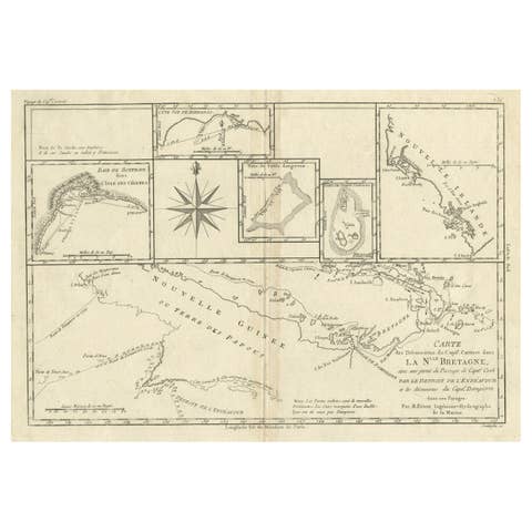
Antique Detailed Map of Papua New Guinea and the Regions to the West, ca.1780
1780 · € 330
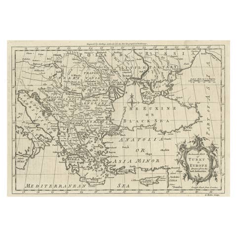
Map of the Ottoman Empire in Europe, incl. the Balkans, Greece & Turkey, c.1760
1760 · € 380
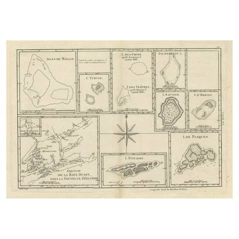
Print of Maps of Islands of the South Pacific, Incl. Pitcairn & Dusky Bay, 1788
1788 · € 440
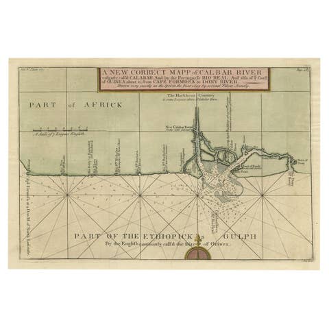
Authentic Map of the Coast from Cape Formosa to the Dony River, Africa, 1732
1732 · € 570
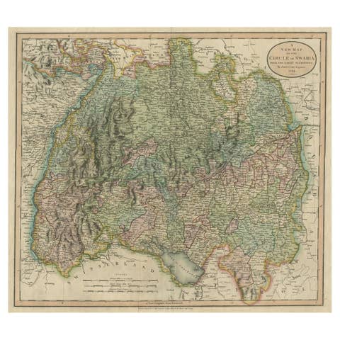
Attractive Original Hand-Colored Map of the Swabia Region of Germany, 1799
1799 · € 480
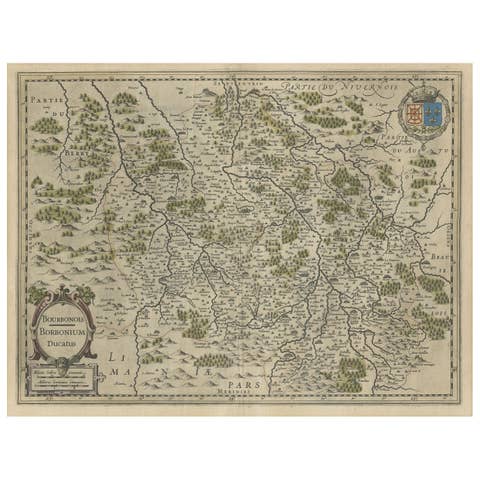
Old Map of the Bourbonnais Region of France, ca.1630
1630 · € 630

Map of the Circle of Franconia, Germany Bamberg, Wurtzburg and Nuremberg, 1757
1757 · € 550
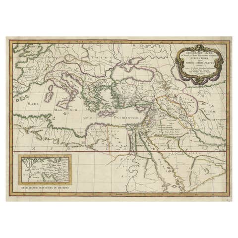
Antique Map of the Holy Land Described in the Old and New Testament, ca.1660
1660 · € 850
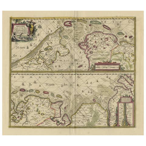
Antique Engraving of Dutch and German North Sea Coast of Friesland, ca.1680
1680 · € 1 150
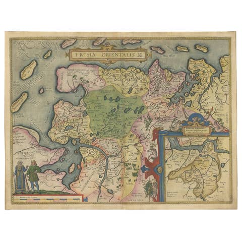
Map of East Frisian Islands & Northwestern Tip of Germany, Ostfriesland, c.1595
1595 · € 1 750
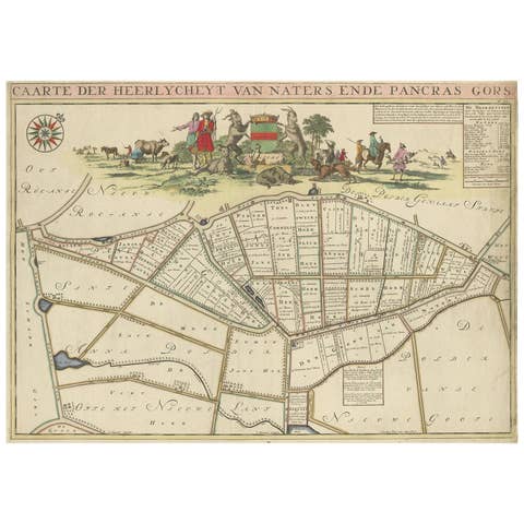
Beautiful Map of the Region Naters and Pancrasgors, The Netherlands, ca.1697
1697 · € 1 350
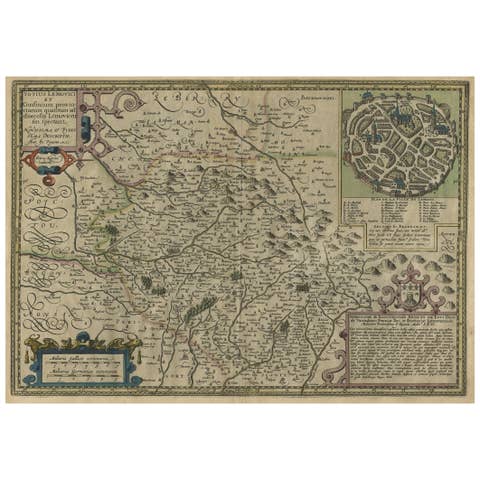
Original Very Old Hand-Colored Map of Limousin or Limoges, France, ca.1600
1600 · € 1 400
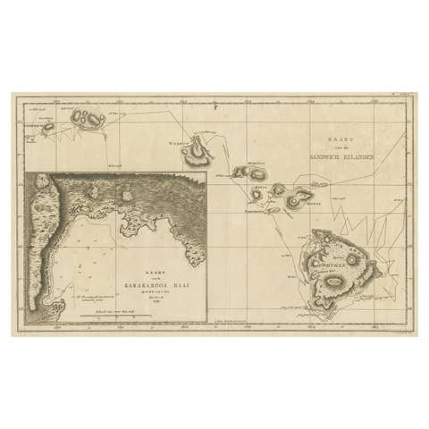
Map of the Hawaiian Islands with a Large Inset of Karakakooa Bay, 1803
1803 · € 2 250
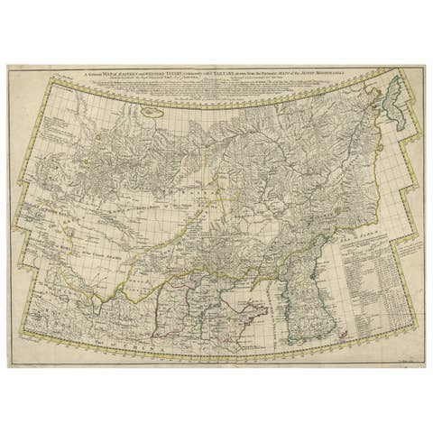
Rare Hand-Colored Antique Map of Tartary, China and Korea, ca.1741
1741 · € 2 750
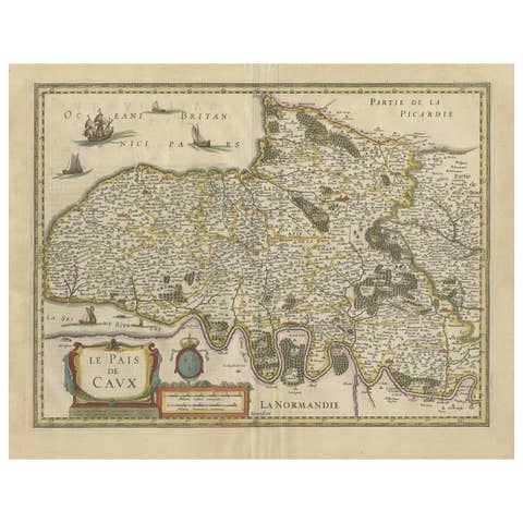
Old Handcolored Antique Map of Pays De Caux in Normandy, France, ca.1640
1640 · € 1 350
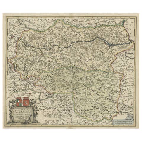
Antique Map of Austria, Centered Around the Danube from Passau to Vienna, C.1690
1690 · € 1 350
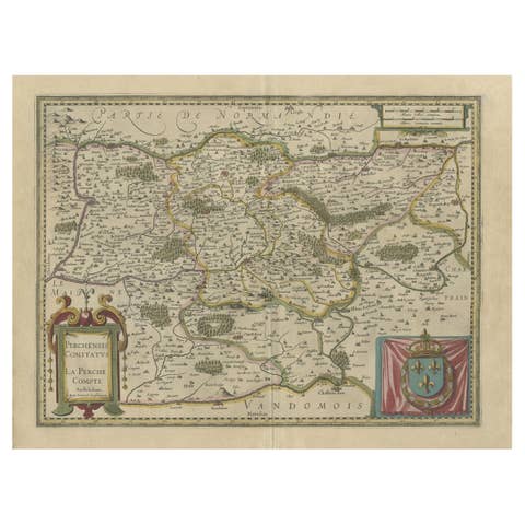
Old Original Handcolored Map of the Former Province of Perche, France, ca.1640
1640 · € 720
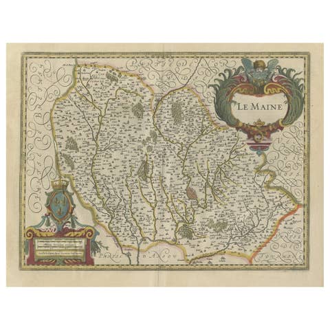
Antique Map of the French Province Maine, Showing Le Mans, Alencon Etc., Ca1640
€ 550
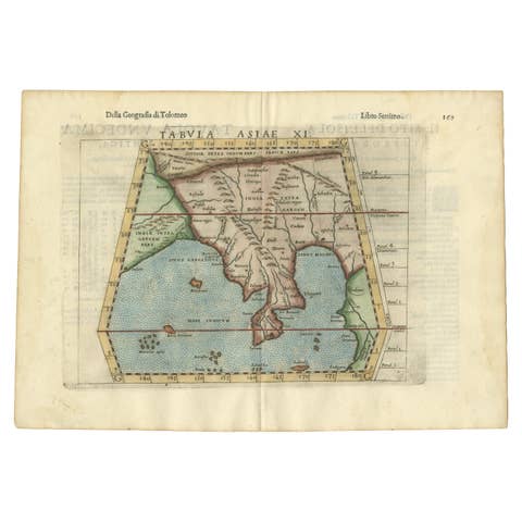
Antique Hand-Colored Map of India, Sri Lanka, Maldives, ca.1599
1599 · € 560
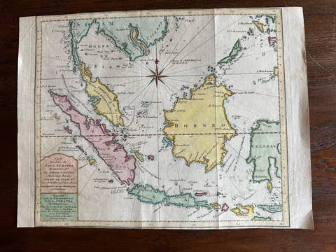
Original Map of the East Indies Including Sumatra, Java, Borneo & Malaysia, 1755
1755 · € 350
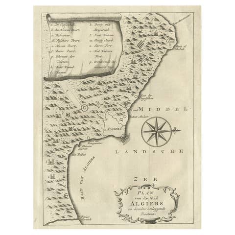
Old Map of Algiers, with Surrounding Cities and the Bay of Algiers, 1773
1773 · € 360

Old Dutch Map of the City of Oran 'Warran', Algeria, 1773
1773 · € 290
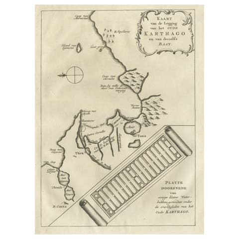
Old Dutch Map of the City of Carthage and the Bay of Carthage, 1773
1773 · € 320
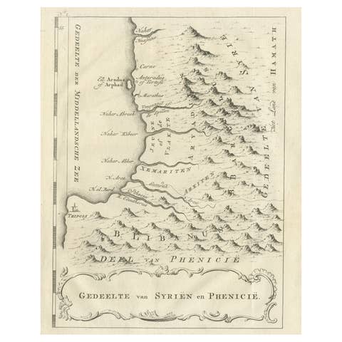
Old Dutch Map of Part of Syria and Phoenicia, 1773
1773 · € 320
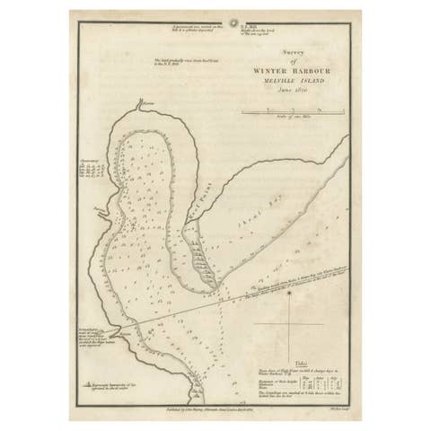
Map of Winter Harbour on Melville Island, Australia by Parry's Expedition, 1821
1821 · € 260
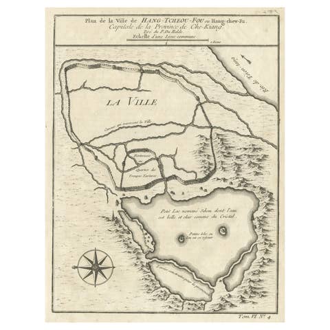
Antique Map of Hangzhou, Capital of the Province of Zheijang, China, 1748
1748 · € 340
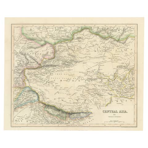
Steel Engraved Map of Central Asia Covering the Chinese Empire, Tibet Etc, C1843
€ 260
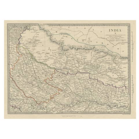
Original Old Map Northeast India, incl Part of Himalayas and China, 1853
1853 · € 190
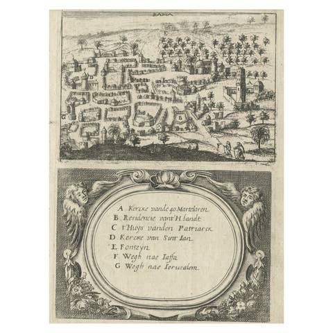
Rare Map of Rama or Ramma 'Ramallah?' in Palestine or the Holy Land, ca.1730
1730 · € 280
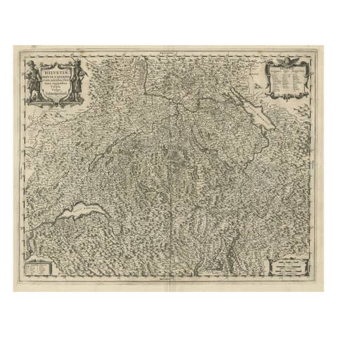
Decorative and Detailed Original Antique Map of Switzerland, 1657
1657 · € 860

Beautiful Old Map of Spain and Portugal With Decorative Title Cartouche, ca.1740
1740 · € 1 200
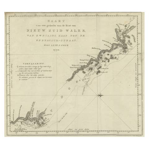
Original Copper Engraving of the Northeast Coast of Australia, 1803
1803 · € 890
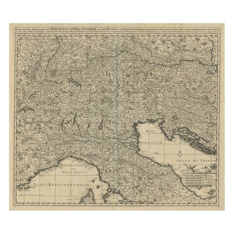
Antique Map Covering Northern Italy, Austria, Slovenia & Croatia, ca.1690
1690 · € 750
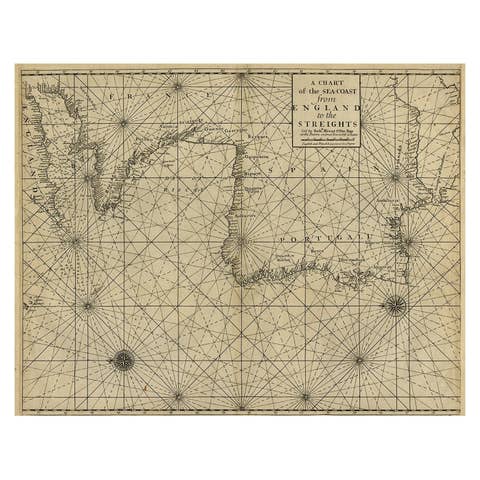
Original Antique Sea Chart of the Coastline from England to Gibraltar, ca.1700
1700 · € 950
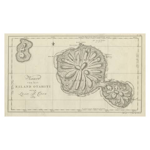
Antique Map of the Island of Tahiti, Polynesia, 1803
1803 · € 690
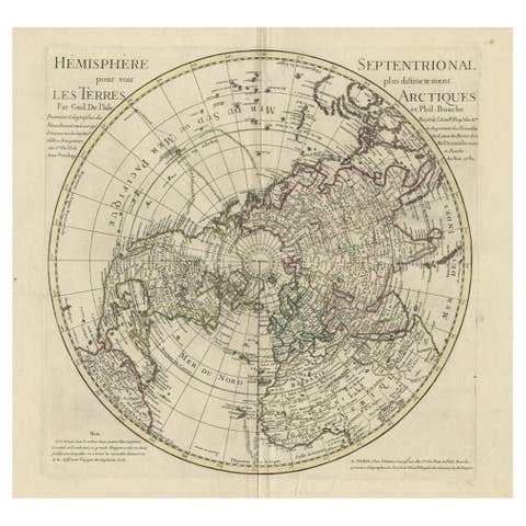
Antique Map of the Northern Hemisphere, 1782
1782 · € 1 500