Maps & PrintsBartele Gallery · Langweer
Home / Antique Maps / Asia / South-East Asia

South-East Asia · 18th century

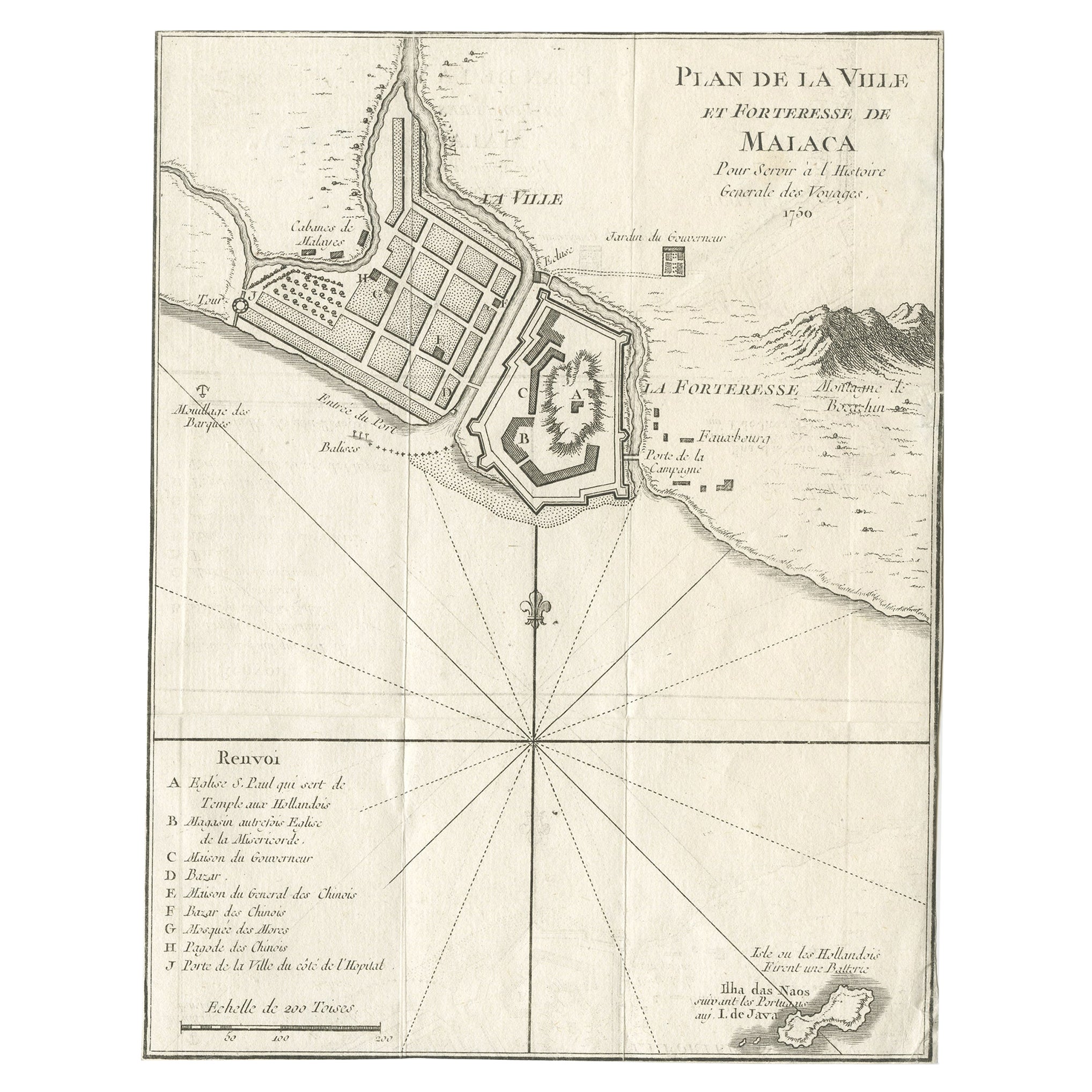
Detailed Original Antique Plan of the City and Fort of Malacca, Malaysia, 1764

€ 190

Original antique · The actual sheet photographed · Certificate of authenticity on request · Sold unframed · Worldwide shipping from € 15 (rates)

Date
1764
Sheet size
20 × 15 cm (7.9 × 5.9 in)
Condition
Fair
Reference
BGJC-0034

About this sheet

Antique map titled 'Plan de la Ville et Forteresse de Malaca'. Detailed plan of the city and fort of Malacca on the southern Malay Peninsula, commanding the strategic straits of the same name.

Artists and Engravers: Made by 'Jakob van Schley' after 'Jacques Nicolas Bellin'. Jakob van der Schley (1715-1779) was a Dutch draughtsman and engraver, who studied under Bernard Picart. Jacques-Nicolas Bellin (1703-1772) was a French hydrographer, geographer and member of The Philosophes. His career, spanning over 50 years, caused an enormous outpt in maps, particular of maritime interest.

Condition: Fair, clipped and some wear. Please study image carefully.

More from South-East Asia

Ask about this sheet

Detailed Original Antique Plan of the City and Fort of Malacca, Malaysia, 1764
1764 · Ref. BGJC-0034 · € 190
We reply by email, usually within one working day.