About this sheet
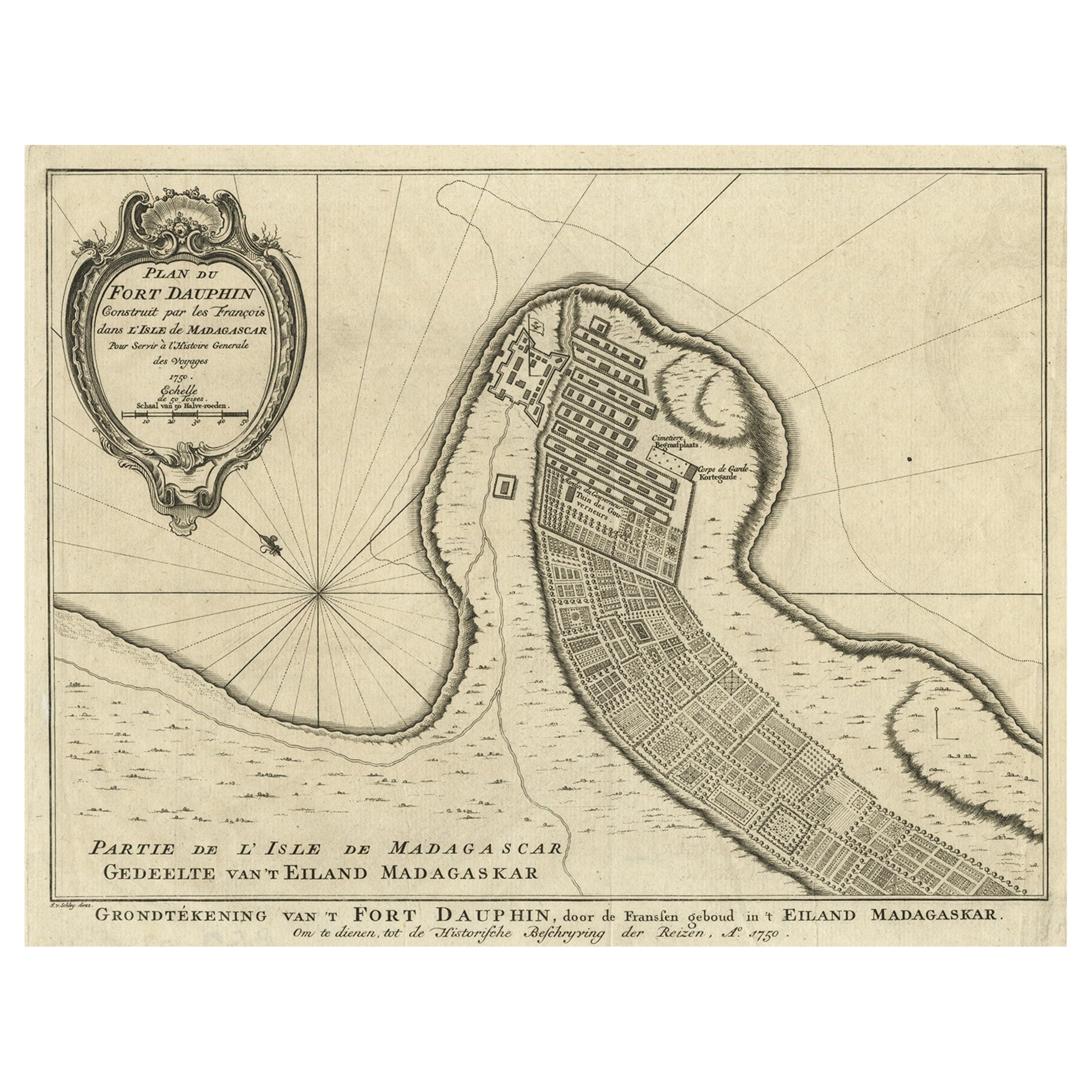
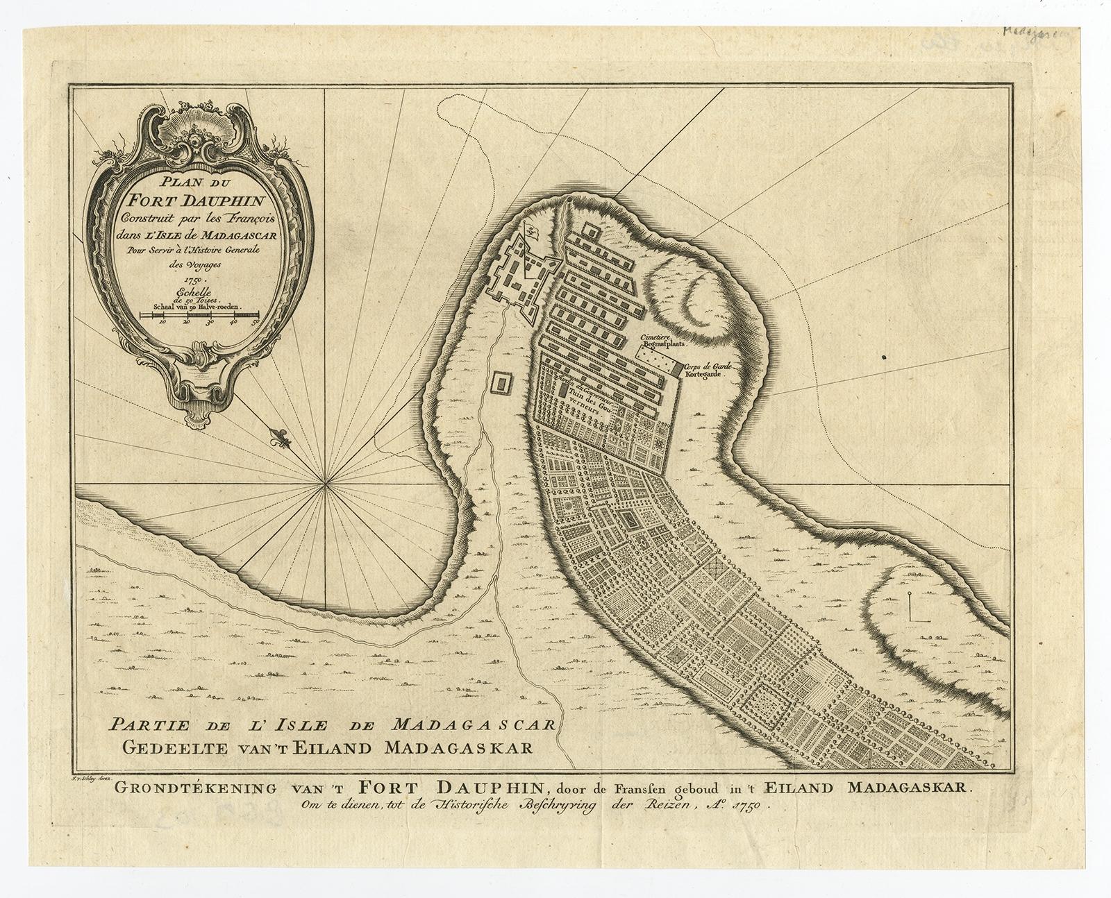
Antique map titled 'Plan du Fort Dauphin (..) -
Grondtekening van 't Fort Dauphin'. Plan of Fort Dauphin on the island of Madagascar of the east coast of Africa. This print originates from 'Historische beschryving der Reizen (..)' by P. de Hondt, 1756.
Artists and Engravers: Jakob van der Schley (Amsterdam 1715-1779) was a Dutch draughtsman and engraver. He studied under Bernard Picart and became heavily influenced by his style.
Condition: Good, given age. Original fold as issued. Light crease top left. A crease from the lower right margin into the image. General age-related toning and/or occasional minor defects from handling. Please study image carefully.