Antique Maps of Western Europe
1,929 original sheets
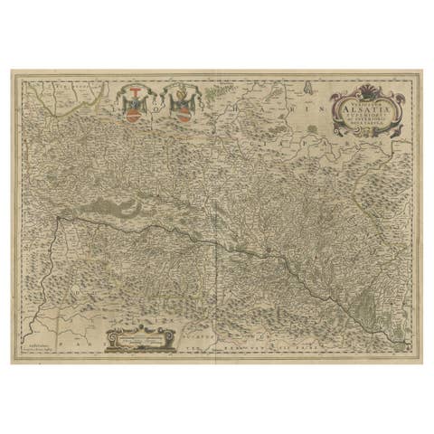
Map of the Alsace, France Incl the Rhine from Phillipsburg to South Basle, c1650
€ 360
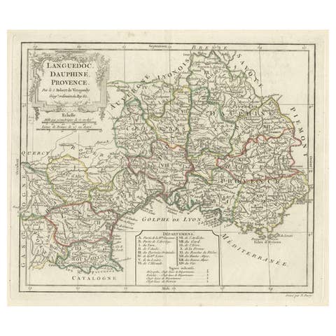
Beautiful Antique Map of Southeastern France with Decorative Cartouche, ca.1790
1790 · € 380
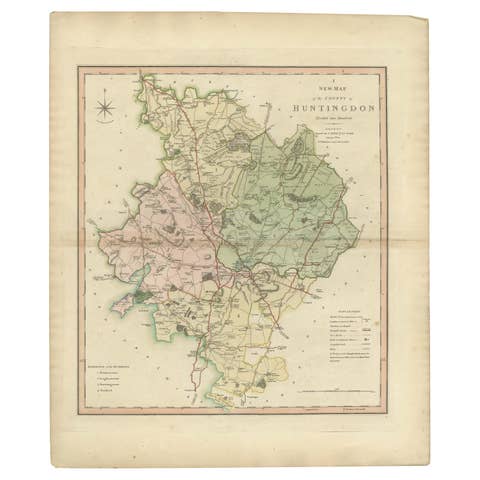
Antique Decorative County Map of Huntingdonshire, England, 1804
1804 · € 325

Antique Decorative County Map of Lincolnshire, England, 1804
1804 · € 325

Antique Decorative and Detailed County Map of Cumberland, England, 1804
1804 · € 325
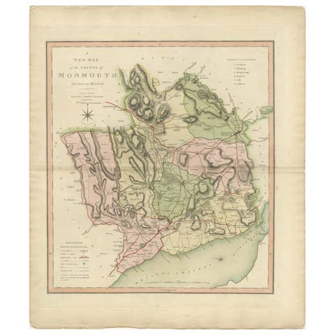
Antique County Map of Monmouthshire, England, circa 1804
1804 · € 325

Antique County Map of Leicestershire, England, 1804
1804 · € 325

Antique County Map of Derbyshire, England, 1804
1804 · € 325
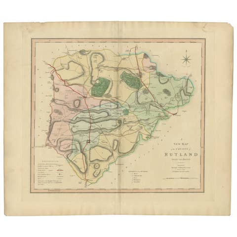
Antique Hand-Colored County Map of Rutland, England, 1804
1804 · € 325
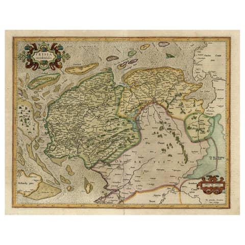
Old Map of the Dutch Provinces of Friesland and Groningen, The Netherlands, 1604
1604 · € 1 150
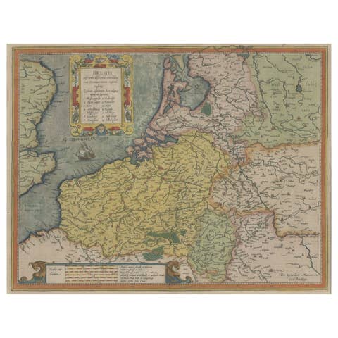
Original Antique Map the Imperial States of the Habsburg Netherlands, 1609
1609 · € 1 250
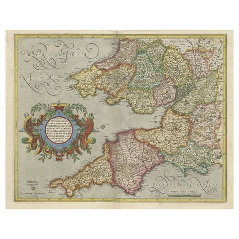
Original Antique Map of the English counties Cornwall, Devon, Dorset, etc, 1633
1633 · € 1 150
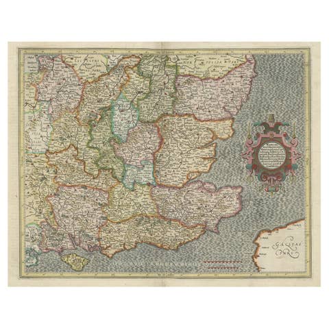
Original Old Map of South East England Incl London, Oxford, Cambridge, Etc, 1633
1633 · € 1 150
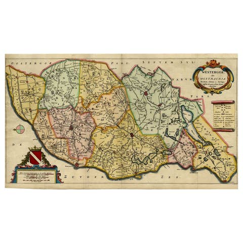
Map of the Shire of Westergo in the Province of Friesland, the Netherlands, 1664
1664 · € 840
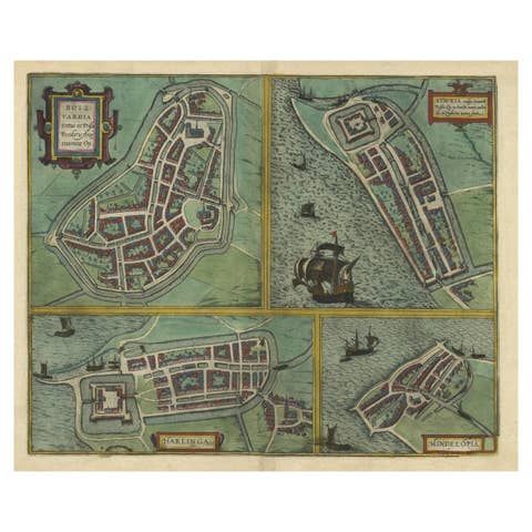
Frisian Cities Bolsward, Stavoren, Harlingen & Hindelopen, The Netherlands, 1598
1598 · € 1 150
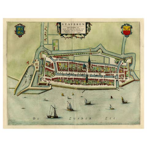
Original Antique Map of the City of Stavoren, Friesland, The Netherlands, 1649
1649 · € 1 150
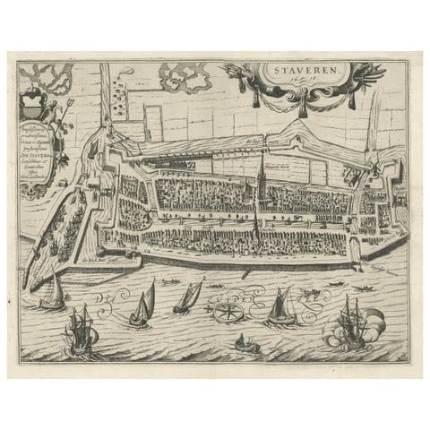
Rare Old Map of the City of Stavoren, Friesland, the Netherlands, 1616
1616 · € 850
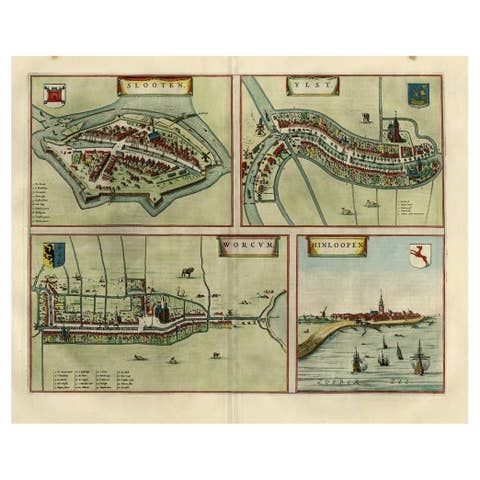
Antique Map of Frisian Cities Sloten, Ylst, Workum and Hindelopen by Blaeu, 1652
1652 · € 1 150
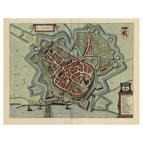
Original Map with Bird's-Eye View of Zutphen in the Netherlands by Blaeu, 1649
1649 · € 1 250
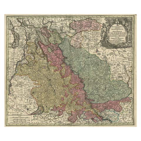
Old Map of the Rhine & German Cities Incl Düsseldorf, Bonn, Köln, Etc., c.1730
1730 · € 980

Striking Large Format Antique Map of Southeastern France, 1799
1799 · € 650
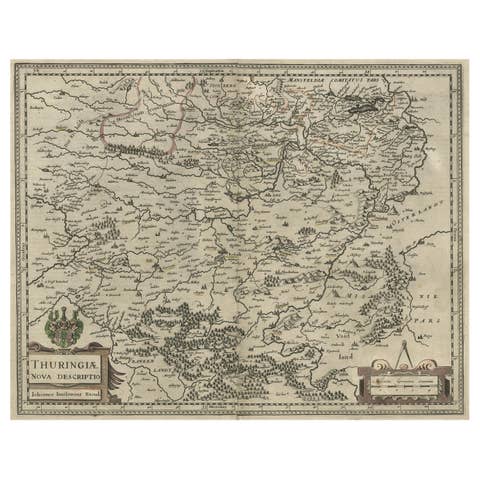
Detailed Original Antique Map of Thuringia, Germany by J. Janssonius, ca.1650
1650 · € 670
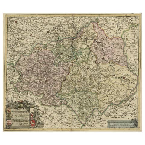
Old Detailed Map of the Historical Regions of the Duchy of Saxony, Germany, 1680
1680 · € 720
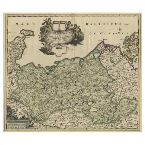
A Handsome & Detailed Map of the Duchy of Mecklenburg & Pomerania, Germany, 1680
1680 · € 740
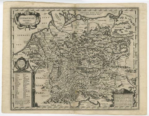
Original Rare Antique Map of the Ancient German Empire in Northern Europe, c1650
€ 660
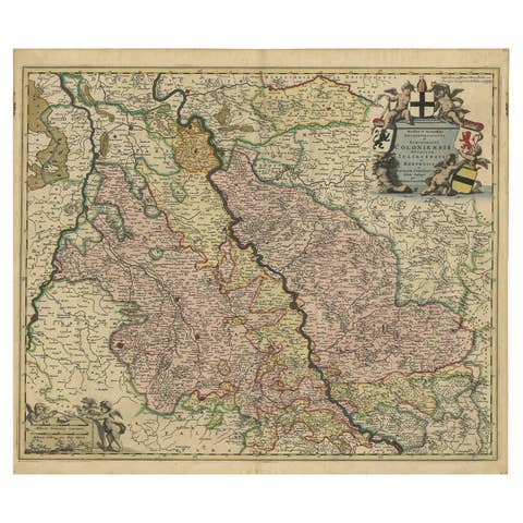
Rhine Splendor: Antique Map of the Lower Rhine Region, circa 1680
1680 · € 960
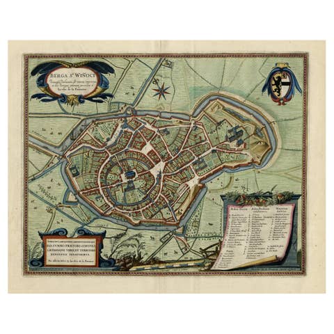
Original Old Bird's-Eye View Plan of Sint-Winoksbergen or Bergen in France, 1649
1649 · € 1 450
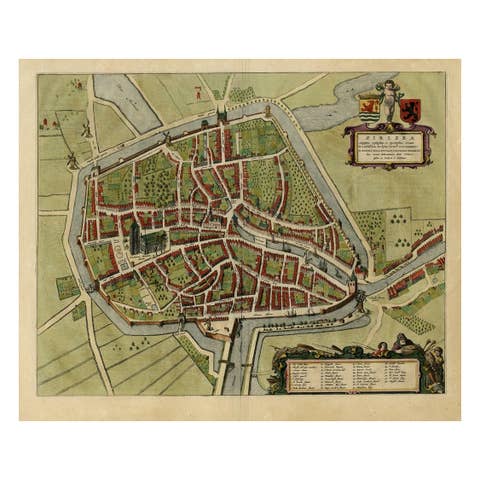
Antique Bird's-eye View Plan of Zierikzee in Zeeland, The Netherlands, 1649
1649 · € 1 150
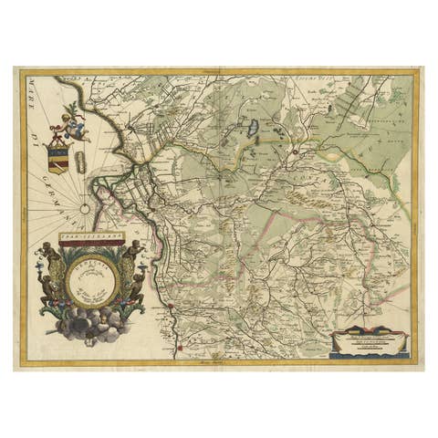
Splendid Detailed Map of the Province of Overijssel in the Netherlands, ca.1692
1692 · € 1 630
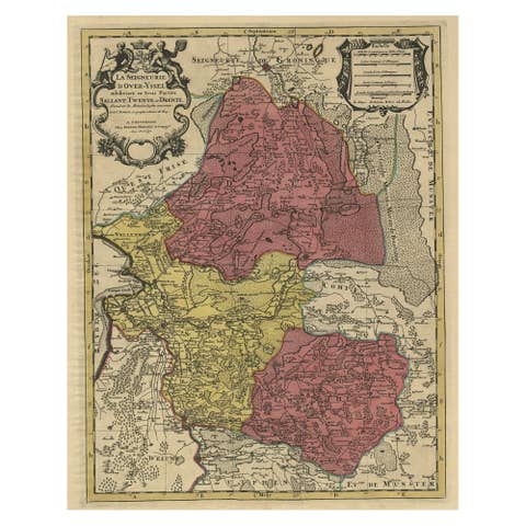
Detailed Antique Map of the Province of Overijssel in the Netherlands, ca.1700
1700 · € 740
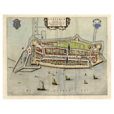
Original Antique Map of the City of Stavoren, Friesland, The Netherlands, 1649
1649 · € 950
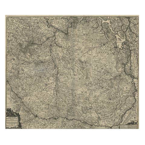
Detailed Map of the South of the The Netherlands & The North of Belgium, ca.1680
1680 · € 670
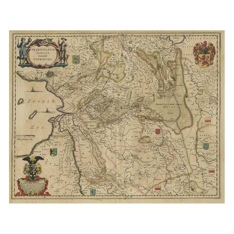
Original Antique Map of the Dutch Provinces of Overijssel and Drenthe, 1635
1635 · € 480
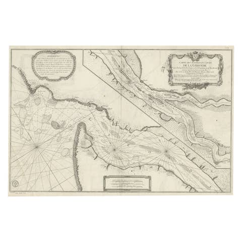
Gironde, Where Rivers Dordogne & Garonne Meet Near Bordeaux, France, ca.1770
1770 · € 1 040

Map of Duchy of Brabant Centered on Fortress of Louvain or Leuven, Belgium, 1720
1720 · € 980
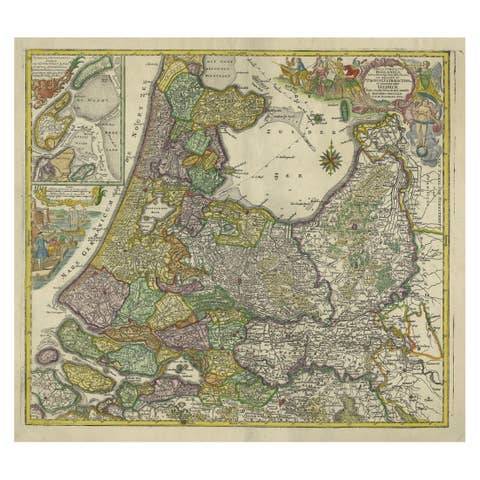
Antique Map of the Northwestern Netherlands, incl Texel and Vlieland, ca.1741
1741 · € 940
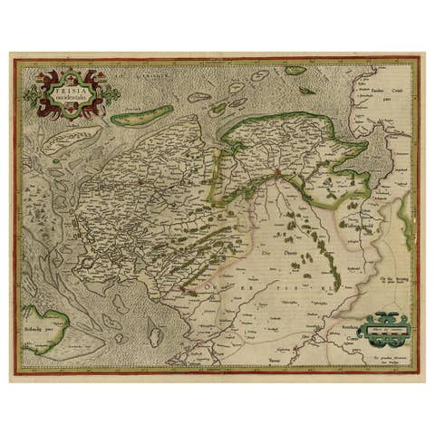
Early Antique Map of the Dutch Provinces of Friesland and Groningen, 1604
1604 · € 1 120
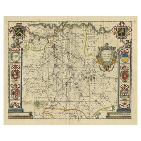
Decorative Antique Map of the Dutch Province of Noord-Brabant, ca.1640
1640 · € 2 750
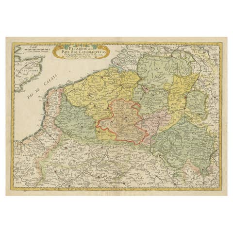
Detailed Regional Antique Map of Northwestern France and Catholic Belgium, 1648
1648 · € 660

Small Detailed Antique Map of France, with Decorative Title Cartouche, 1754
1754 · € 240
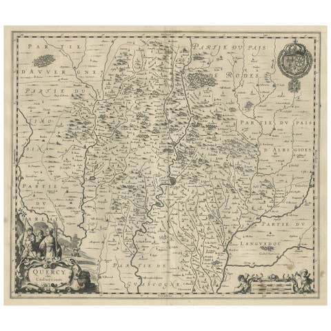
Decorative Antique Map of the Quercy Region in France, 1657
1657 · € 560
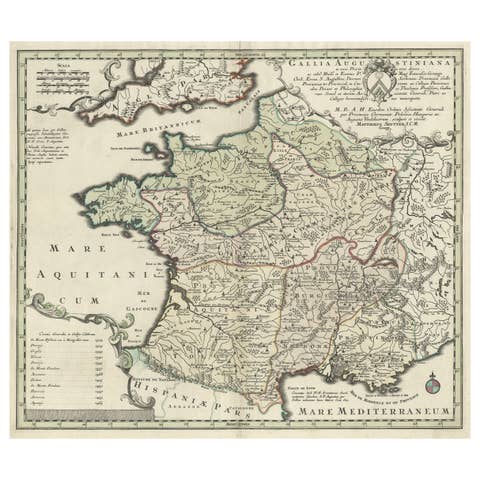
Large Antique Map of Gaul under Roman Rule, ca.1760
1760 · € 420
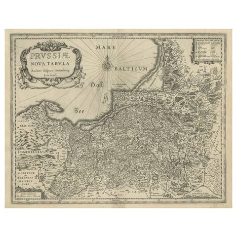
Antique Map of Prussia – Blaeu “Prussiae Nova Tabula”, Later Edition, c.1680
1680 · € 580
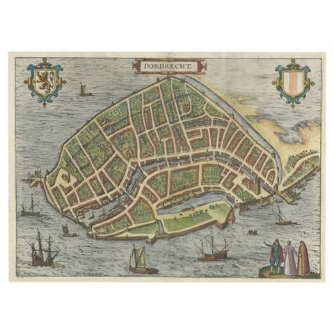
Beautiful Decorative Antique Map of the City of Dordrecht, the Netherlands, 1581
1581 · € 1 420
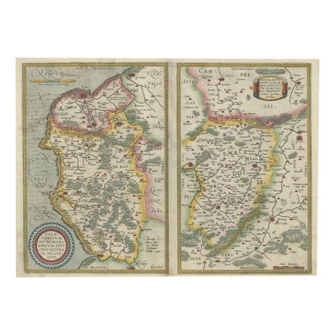
Antique Map of the Region of Boulogne and Peronne, France 'C.1590'
1590 · € 490
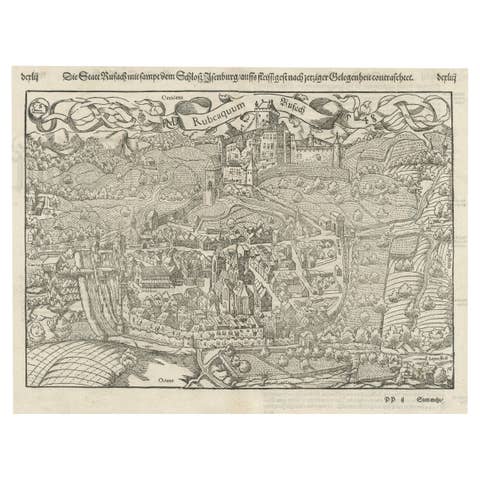
Original Antique Plan of Rouffach, France, with Chateau d'Isenbourgh, 1588
1588 · € 480
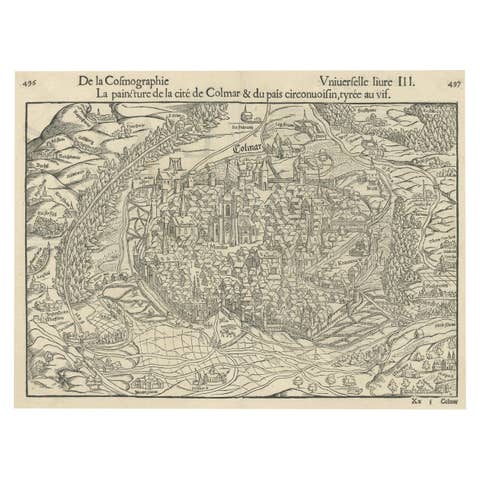
Original Antique Bird's-Eye View of Colmar, Alsace, France, 1552
1552 · € 660
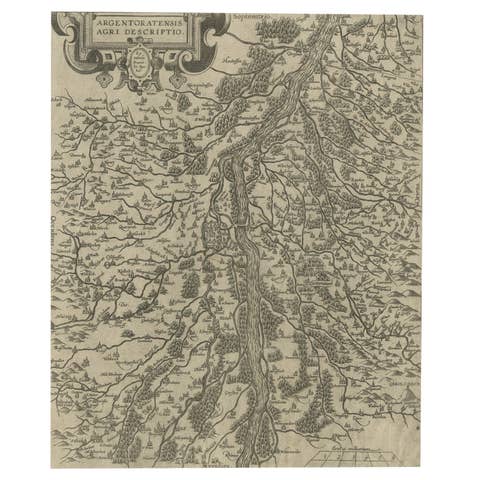
Original Antique Map of the Rhine, South and North of Strasbourg, Germany, 1608
1608 · € 320