Antique Maps of Europe
2,956 original sheets
Western Europe 1908Northern Europe 146Central Europe 88Eastern Europe 102South-East Europe 135Southern Europe 275Europe as a Whole 169
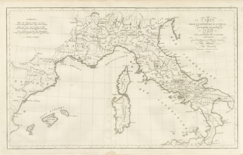
Hannibal's Expedition into Italy with His Marches Traced, d'Anville, 1818
1818 · € 255
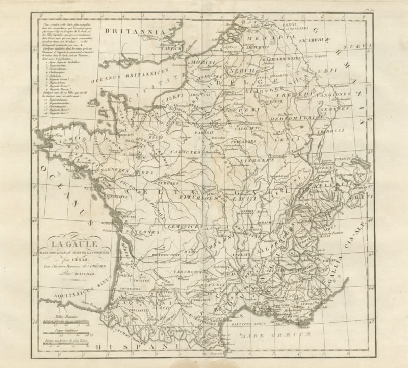
Gaul at the Time of Caesar's Conquest, d'Anville for Crevier, 1818
1818 · € 285
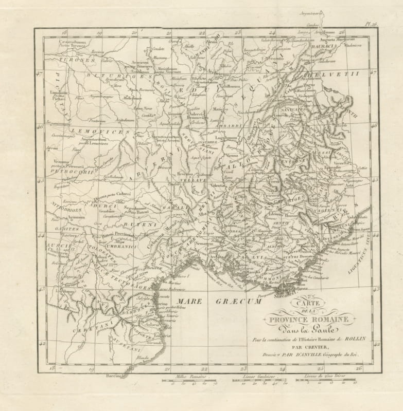
Roman Province in Gaul, Provence and the Alps, d'Anville for Crevier, 1818
1818 · € 245
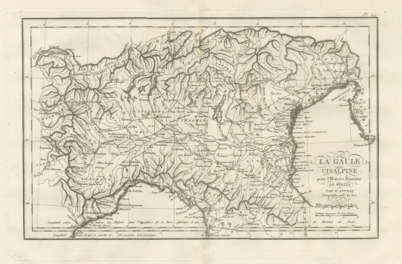
Cisalpine Gaul and the Po Valley, d'Anville Map for Rollin, 1818
1818 · € 245
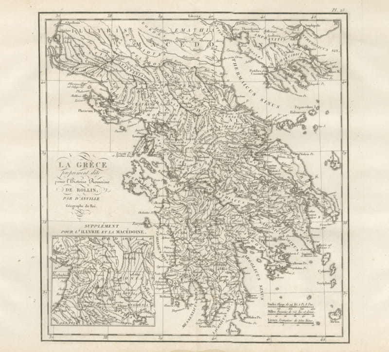
Ancient Greece with an Illyria and Macedonia Inset, d'Anville, 1818
1818 · € 295
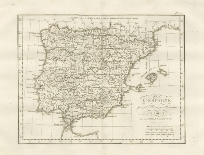
Roman Spain and Portugal with the Balearic Islands, d'Anville, 1818
1818 · € 255
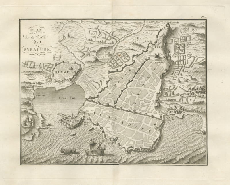
Plan of Ancient Syracuse with Ortygia and Galleys, Rollin Atlas, 1818
1818 · € 285
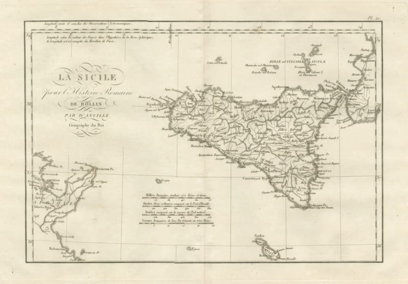
Ancient Sicily with Malta and the Carthage Coast, d'Anville, 1818
1818 · € 285
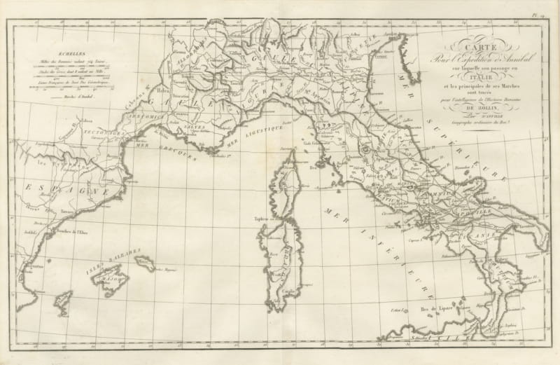
Hannibal's March into Italy, d'Anville Map for Rollin's Roman History, 1818
1818 · € 285
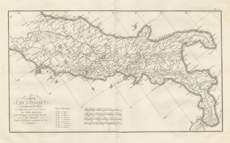
Roman Roads of Ancient Italy, d'Anville Voies Romaines Map, 1818
1818 · € 285
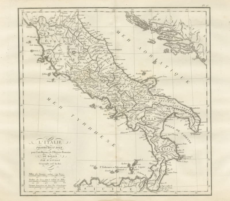
Ancient Italy and the Dalmatian Coast, d'Anville Rollin Atlas, 1818
1818 · € 285
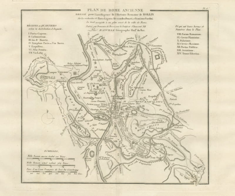
Plan of Ancient Rome with the Fourteen Augustan Regions, d'Anville, 1818
1818 · € 305
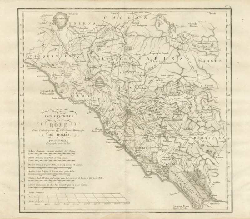
Environs of Ancient Rome and Latium, d'Anville Roman History Map, 1818
1818 · € 245
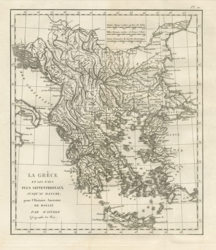
Ancient Greece and the Balkans to the Danube, d'Anville Rollin Atlas, 1818
1818 · € 325
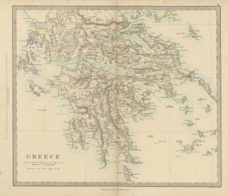
Antique Map of Greece with the Morea, Negropont and Kephalonia, 1858
1858 · € 210
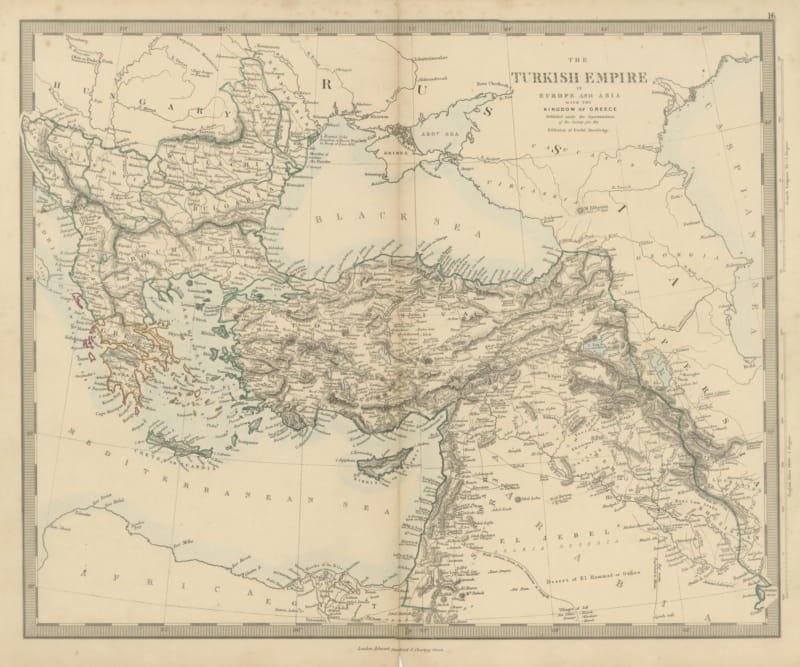
Antique Map of the Turkish Empire and Greece, Treaty of Paris Boundary, 1858
1858 · € 220
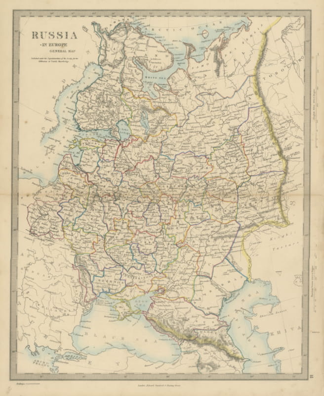
Antique Map of Russia in Europe with the 1856 Treaty of Paris Boundary, 1858
1858 · € 240
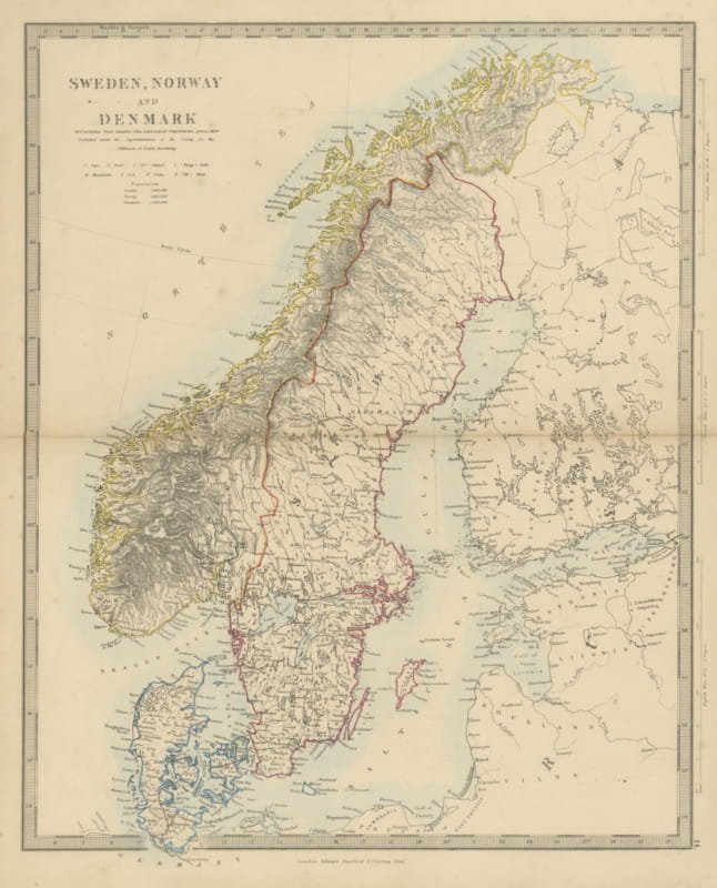
Antique Map of Sweden, Norway and Denmark with the Malström, 1858
1858 · € 200
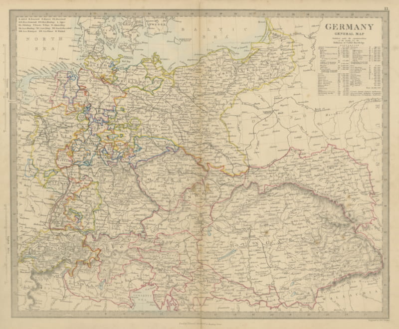
Antique Map of Germany and the Austrian Empire with Population Table, 1858
1858 · € 130
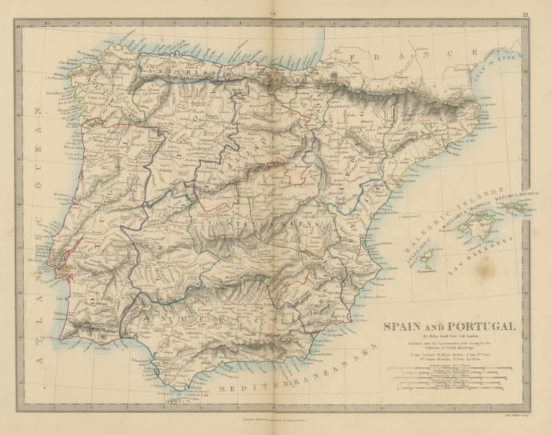
Antique Map of Spain and Portugal by Philip Smith, Balearic Islands, 1858
1858 · € 140
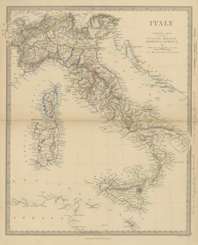
Antique Map of Italy Before Unification with Sicily, Malta and Corsica, 1858
1858 · € 200
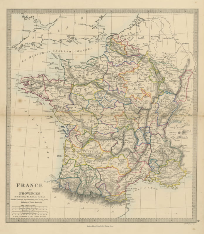
Antique Map of France in Provinces by T. Hewett Key, 1858
1858 · € 180
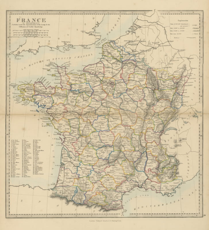
Antique Map of France in Departments with Numbered Key and Railways, 1858
1858 · € 140
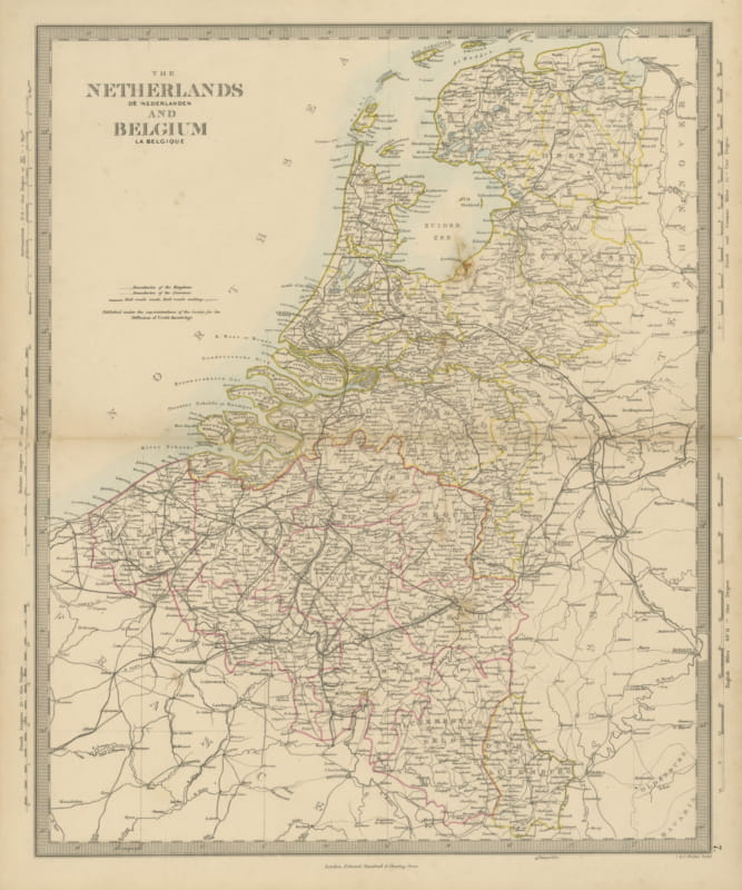
Antique Map of the Netherlands and Belgium, Zuider Zee and Railways, 1858
1858 · € 90
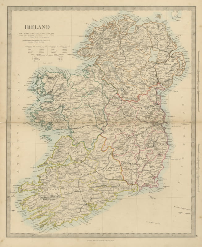
Antique Map of Ireland with Census Tables for 1831, 1841 and 1851, 1858
1858 · € 160
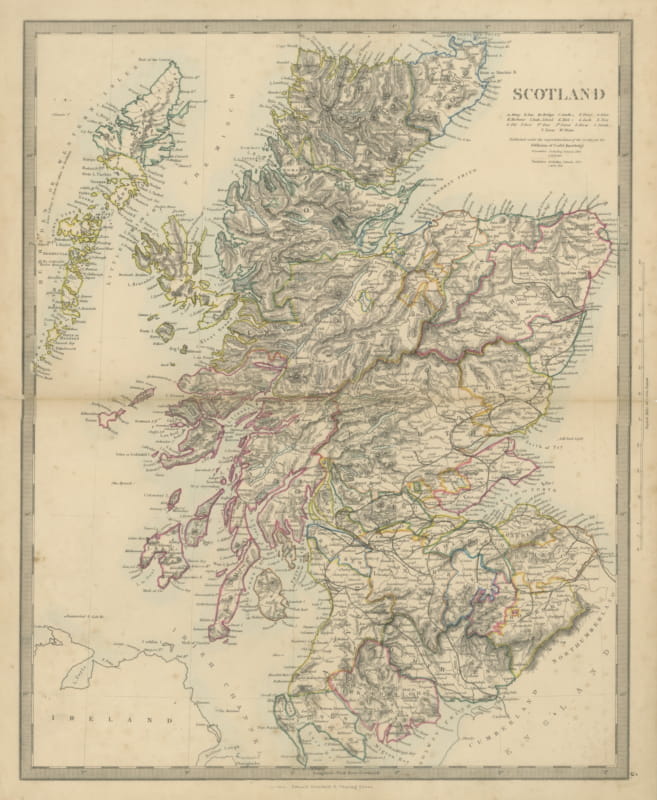
Antique Map of Scotland with 1841 and 1851 Population Figures, 1858
1858 · € 180

Antique Map of England and Wales with Railways and Canals, 1858
1858 · € 180
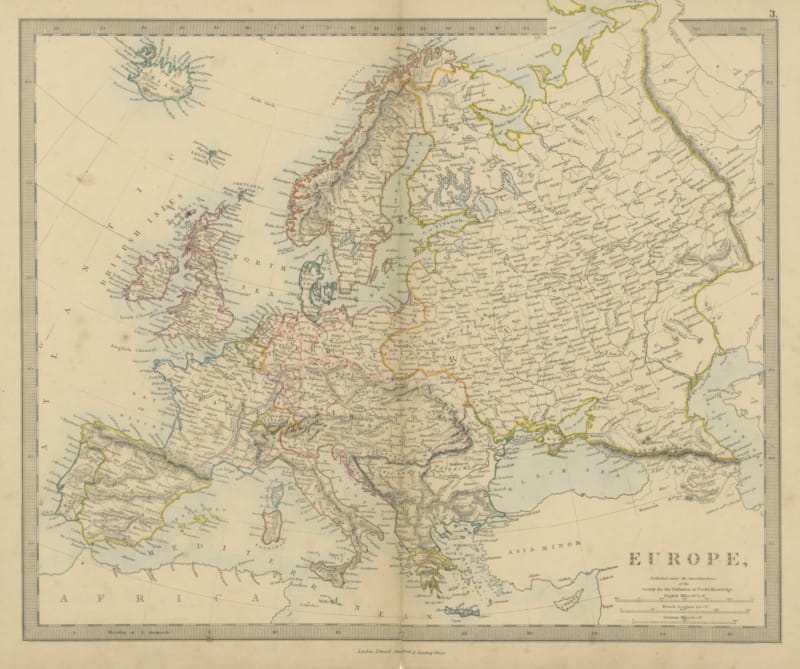
Antique Map of Europe with the Separate Italian and German States, 1858
1858 · € 140
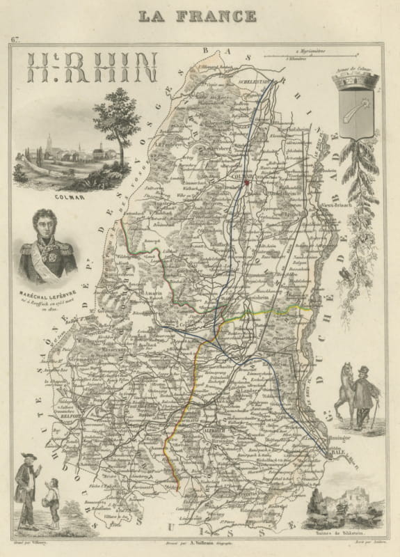
Antique Map of the Haut-Rhin, Colmar and Marshal Lefebvre, circa 1860
circa 1860 · € 220
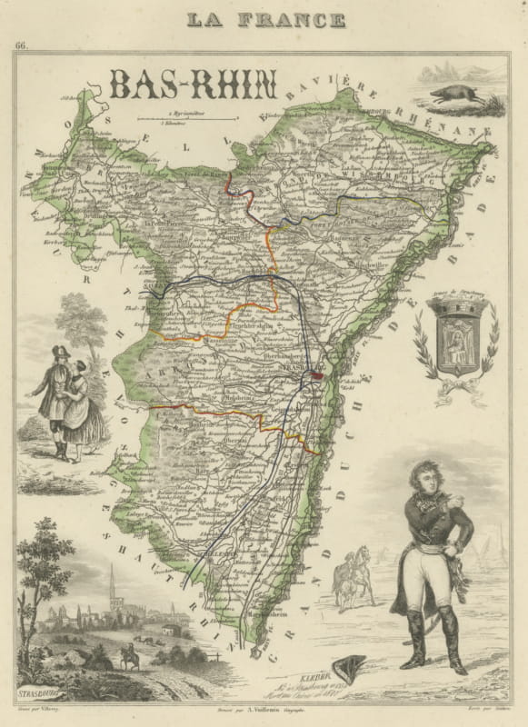
Antique Map of the Bas-Rhin, Strasbourg and Kleber, Vuillemin, circa 1860
circa 1860 · € 220
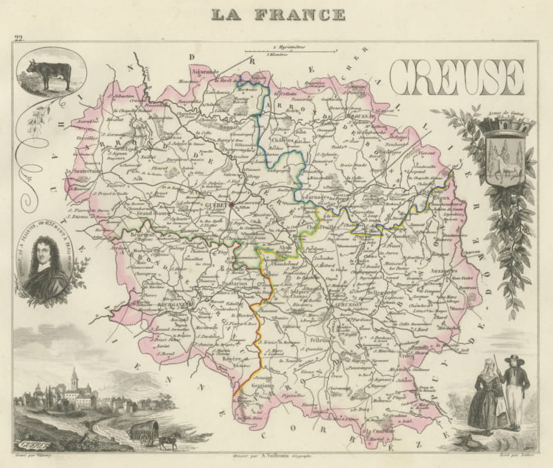
Antique Map of the Creuse, Gueret and Felletin, Vuillemin, circa 1860
circa 1860 · € 220
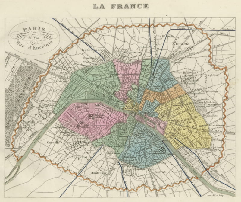
Antique Plan of Paris and its Fortified Enceinte, Vuillemin, circa 1860
circa 1860 · € 220
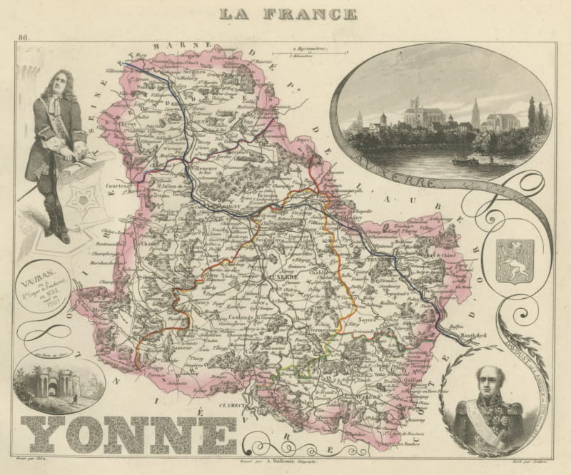
Antique Map of the Yonne, Auxerre, Vauban and Marshal Davout, circa 1860
circa 1860 · € 220
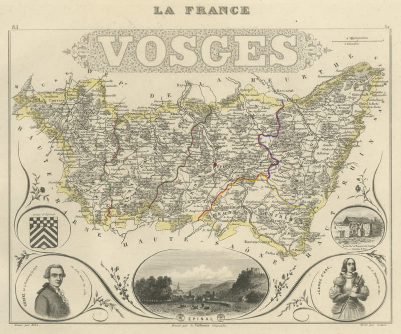
Antique Map of the Vosges, Epinal and Saint-Die, Vuillemin, circa 1860
circa 1860 · € 220
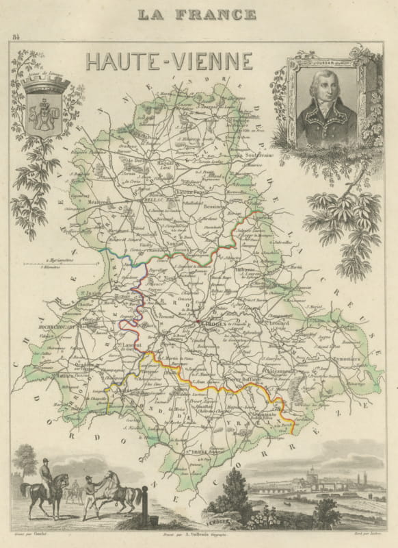
Antique Map of the Haute-Vienne, Limoges and Marshal Jourdan, circa 1860
circa 1860 · € 220
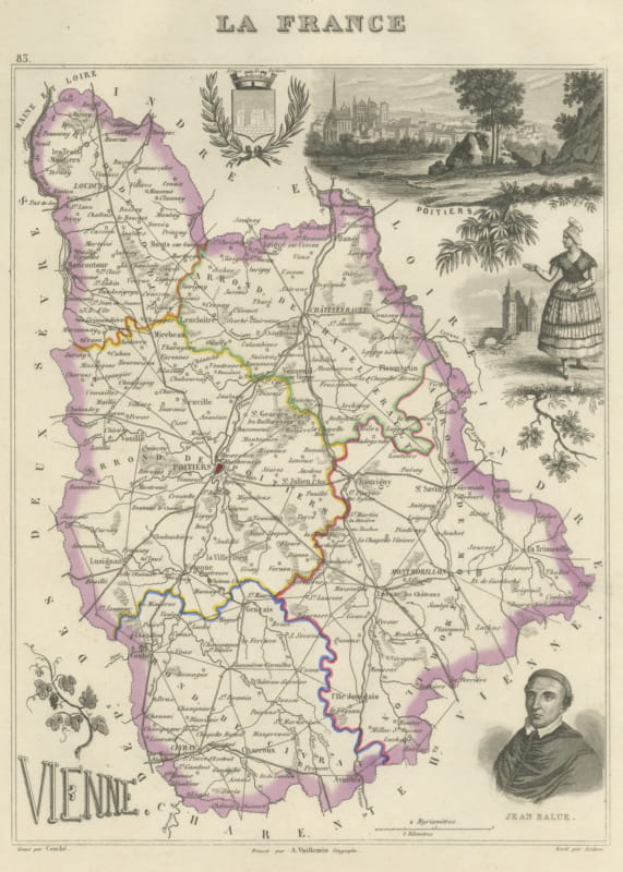
Antique Map of the Vienne, Poitiers and Cardinal Jean Balue, circa 1860
circa 1860 · € 220
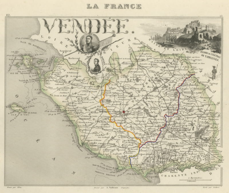
Antique Map of the Vendee, Noirmoutier and the Ruins of Tiffauges, circa 1860
circa 1860 · € 220
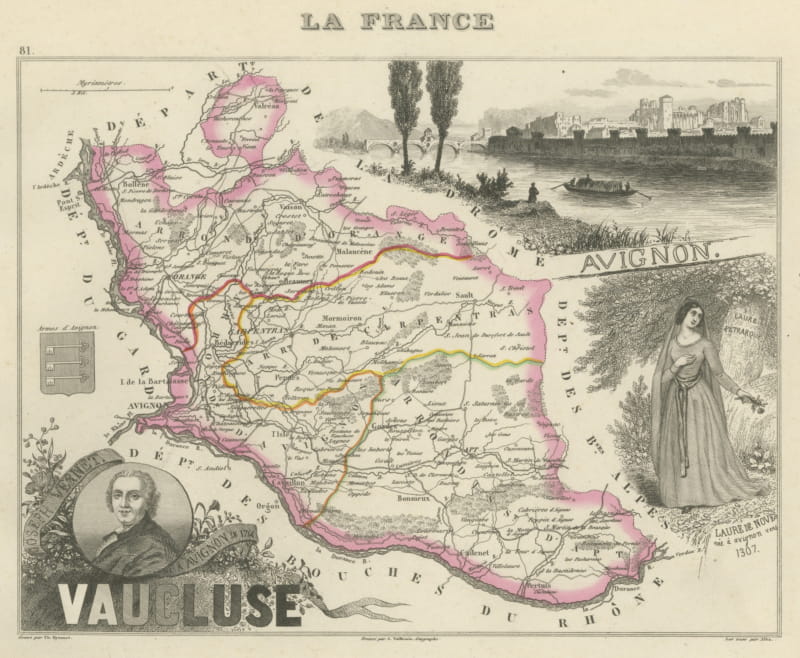
Antique Map of the Vaucluse, Avignon and Petrarch's Laura, circa 1860
circa 1860 · € 220
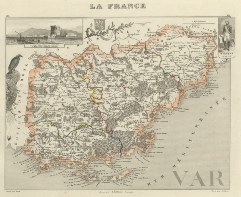
Antique Map of the Var, Draguignan, Before Nice Was French, circa 1860
circa 1860 · € 220
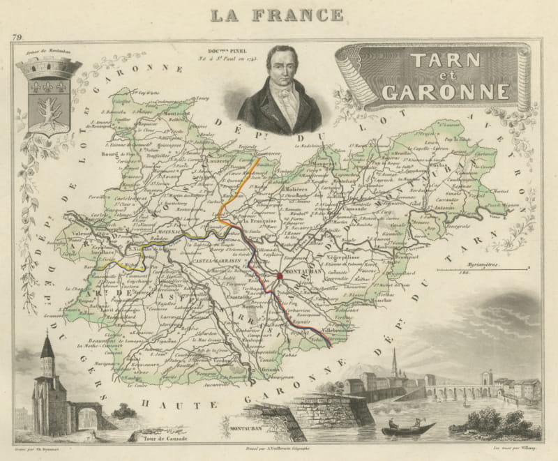
Antique Map of Tarn-et-Garonne, Montauban and Castelsarrasin, circa 1860
circa 1860 · € 220
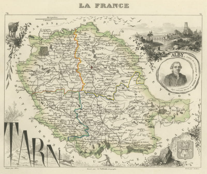
Antique Map of the Tarn, Albi and the Navigator La Perouse, circa 1860
circa 1860 · € 220
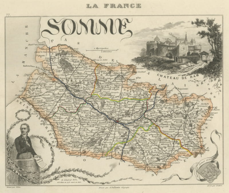
Antique Map of the Somme, Amiens and Abbeville, Vuillemin, circa 1860
circa 1860 · € 220
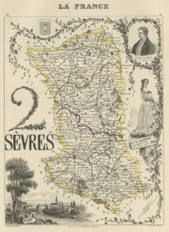
Antique Map of the Deux-Sevres, Niort and Madame de Maintenon, circa 1860
circa 1860 · € 220
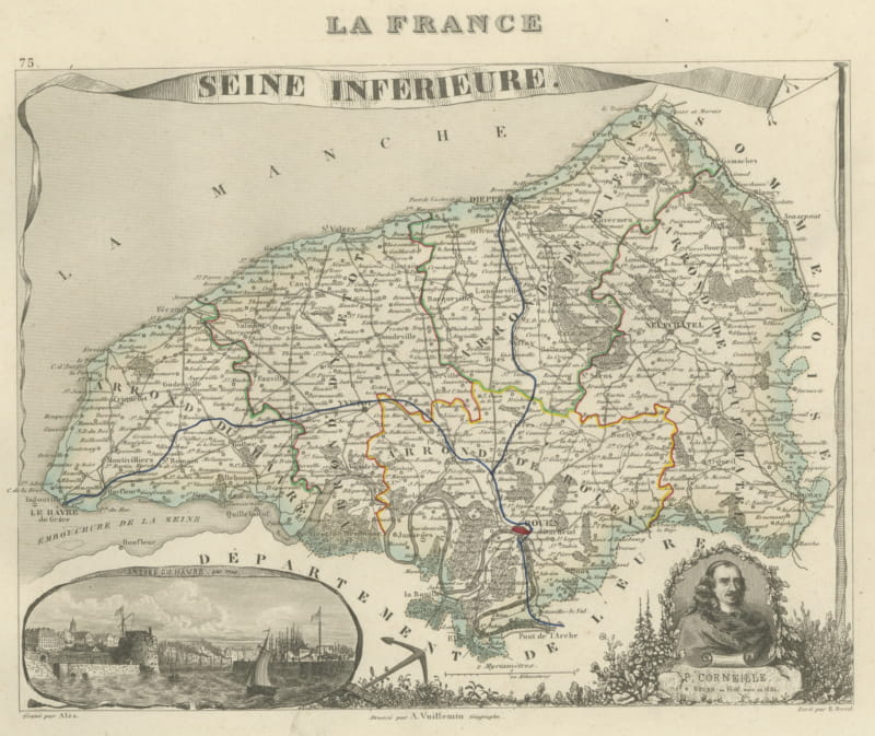
Antique Map of the Seine-Inferieure, Le Havre and Corneille, circa 1860
circa 1860 · € 220
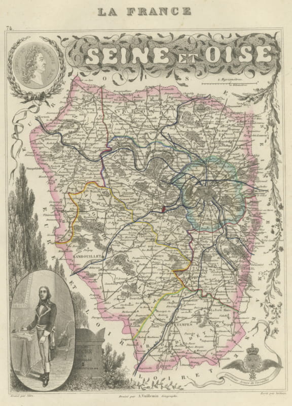
Antique Map of the Seine et Oise, Versailles, Vuillemin, circa 1860
circa 1860 · € 240
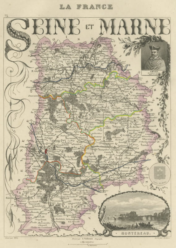
Antique Map of Seine-et-Marne, Fontainebleau and Amyot, circa 1860
circa 1860 · € 250
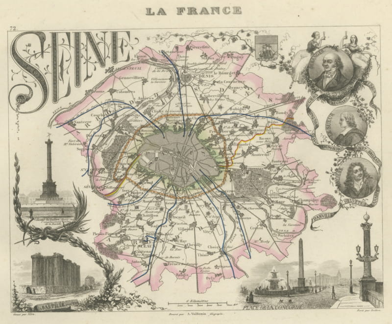
Antique Map of the Seine, Paris and its Suburbs, Vuillemin, circa 1860
circa 1860 · € 320
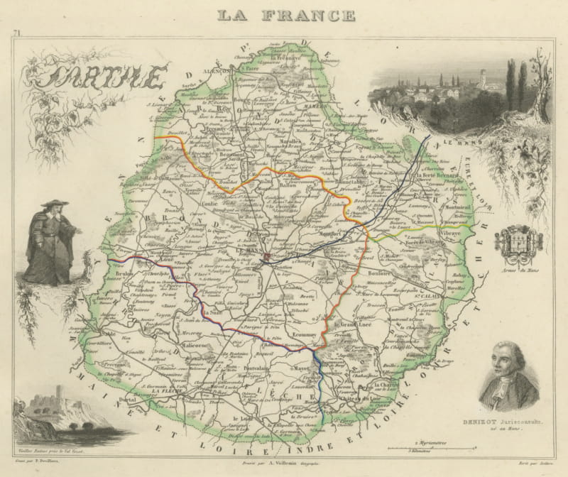
Antique Map of the Sarthe, Le Mans and the Jurist Denizot, circa 1860
circa 1860 · € 220