About this sheet
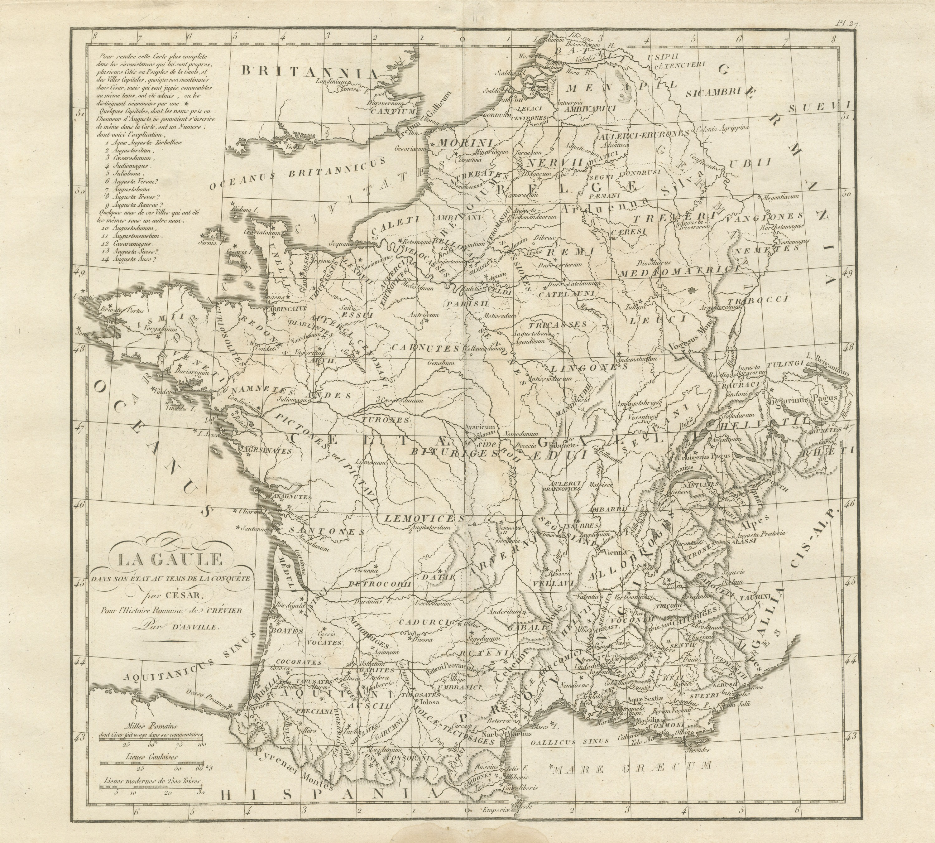
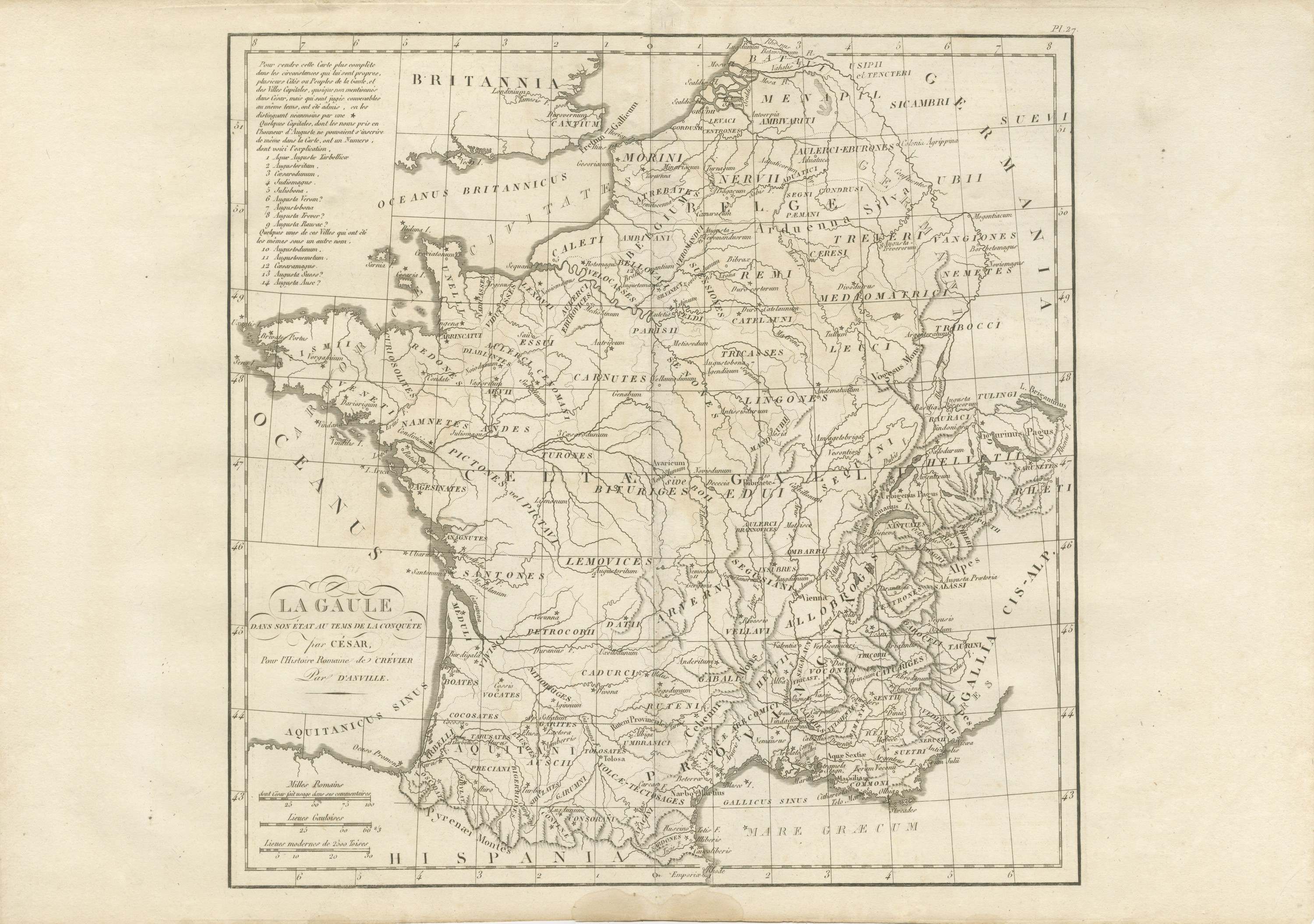
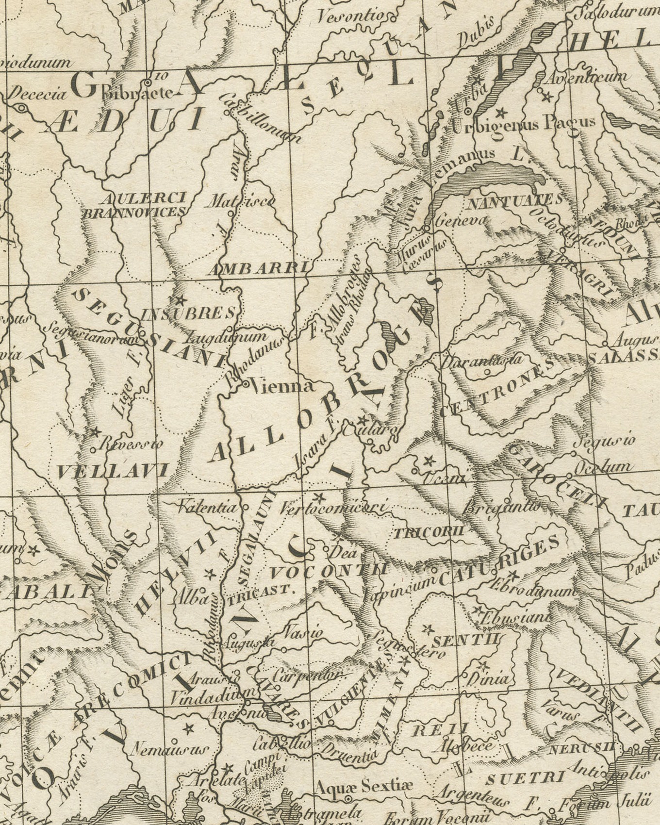
An original copper engraved map, uncolored, of Gaul as it stood at Caesar's conquest, with the south of Britannia, the Rhine frontier of Germania and the north edge of Hispania. The peoples are lettered in capitals, from the Morini, Nervii, Atrebates, Bellovaci and Remi in the north through the Parisii, Senones, Carnutes, Treveri and Sequani to the Aedui, Bituriges, Arverni, Allobroges and Aquitani. Lutetia, Genabum, Avaricum, Gergovia, Alesia, Bibracte, Vesontio, Burdigala, Narbo Martius, Massilia and Gesoriacum are placed, with the Arduenna Silva, the Oceanus Britannicus and the Mare Græcum. A note at upper left explains that peoples and capitals not named by Caesar but judged proper to the time have been admitted and marked with a star, and gives a numbered key to nine capitals whose names taken in honor of Augustus would not fit on the map, among them Augustoritum, followed by five towns that were the same under another name, among them Augustodunum.
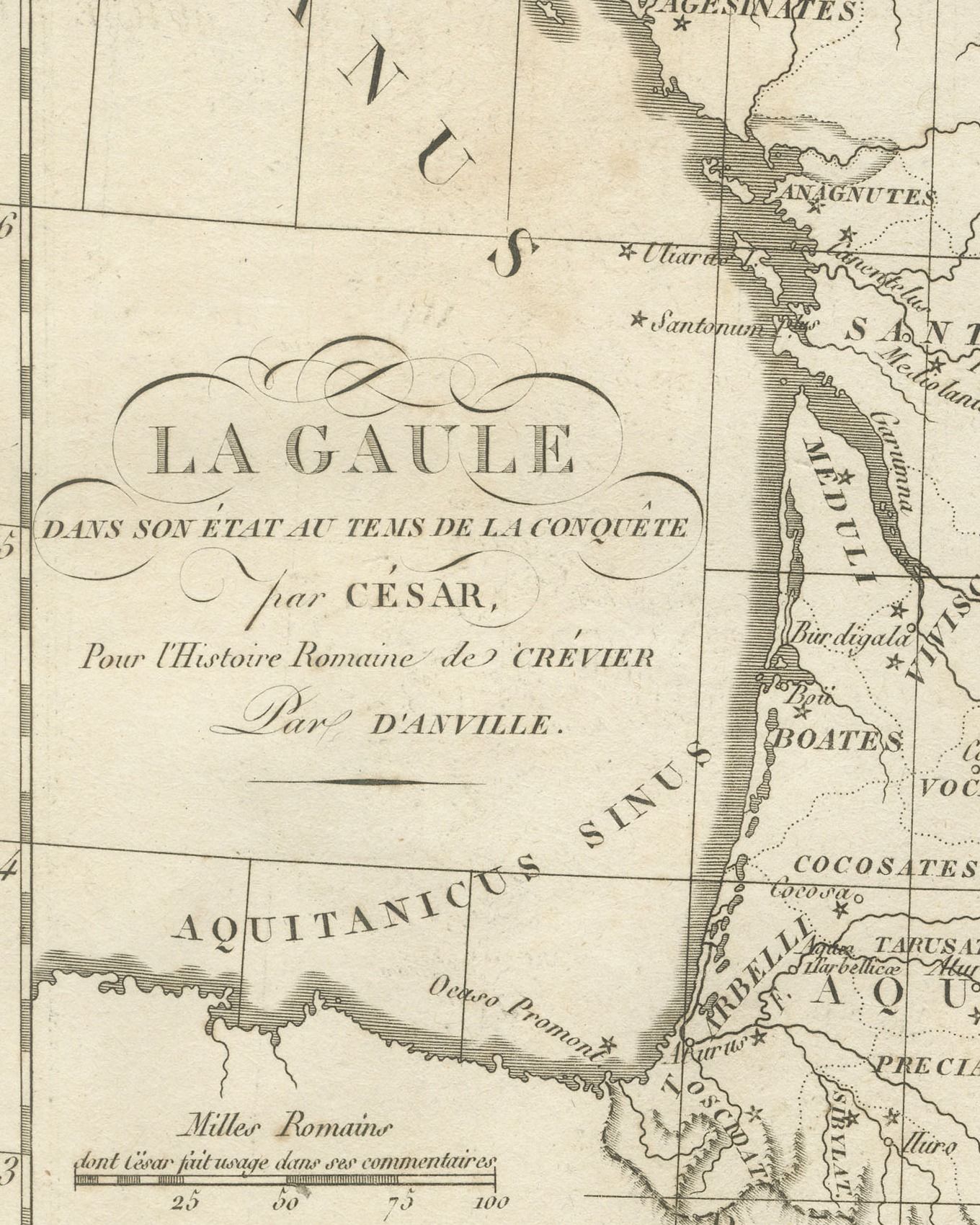
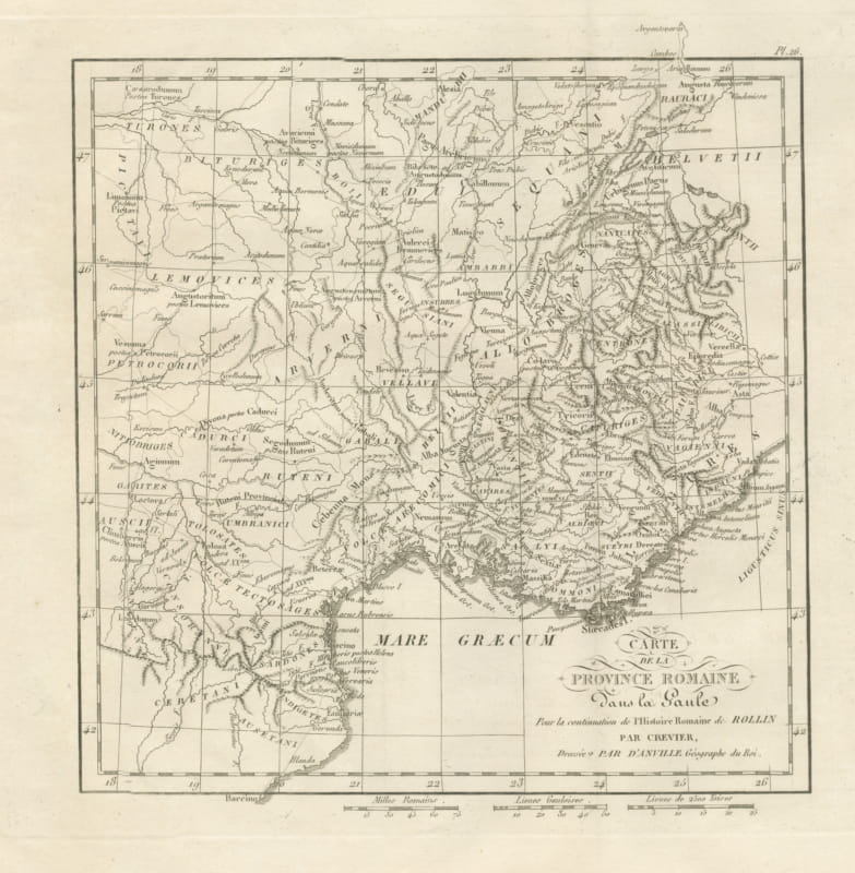
The cartouche at lower left reads La Gaule / dans son état au tems de la conquête / par César, / Pour l'Histoire Romaine de Crévier / Par d'Anville. The plate number Pl. 27 is engraved above the upper right corner of the neatline. Three scale bars below the cartouche read Milles Romains dont César fait usage dans ses commentaires, Lieues Gauloises and Lieues modernes de 2500 Toises.
The plate belongs to the Atlas de Géographie Ancienne, published in Paris in 1818 by Ledoux et Tenré and printed by Didot le jeune to accompany the works of Charles Rollin (1661 to 1741), author of the Histoire ancienne and the Histoire romaine. Its maps were engraved after the originals of Jean-Baptiste Bourguignon d'Anville (1697 to 1782). In the signed foreword Ambroise Tardieu, géographe-graveur, states that the maps were copied with religious fidelity and that, charged with revising the proofs, he had only to correct negligences and faults of execution. The map is lettered for the Roman history of Jean-Baptiste-Louis Crevier (1693 to 1765), who continued Rollin's Histoire romaine.
Condition: Light uneven toning, browner toward the edges. Handling soiling along the bottom, right and top edges. Foxing over much of the margin. Complete sheet, all four corners present. Several larger brown marks, including a stain in the lower margin. Center fold as issued.
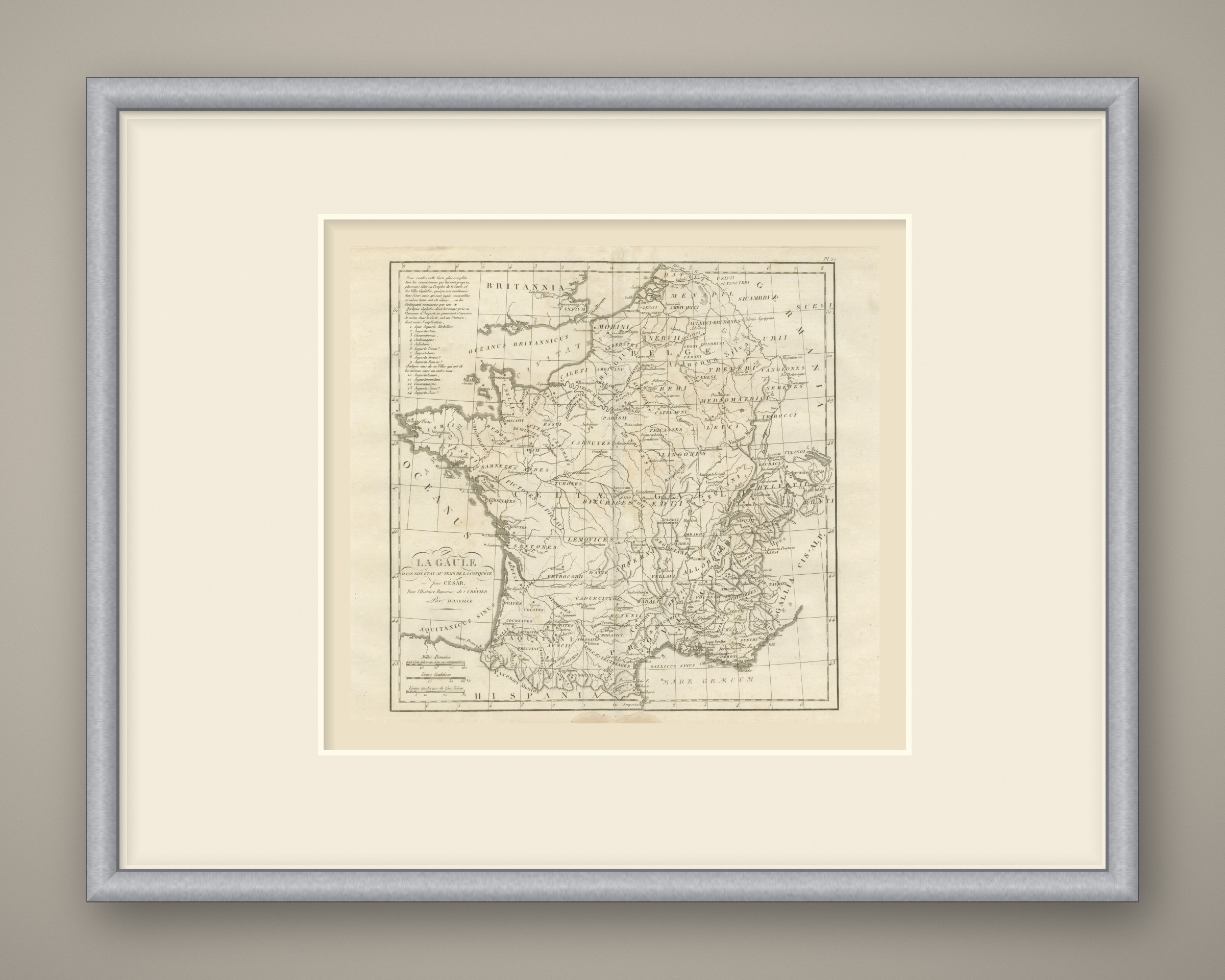
This is an original antique map, not a modern reproduction. This item is sold unframed. Any framed or interior images are shown for presentation and inspiration only, unless the listing explicitly states that the item is sold framed.