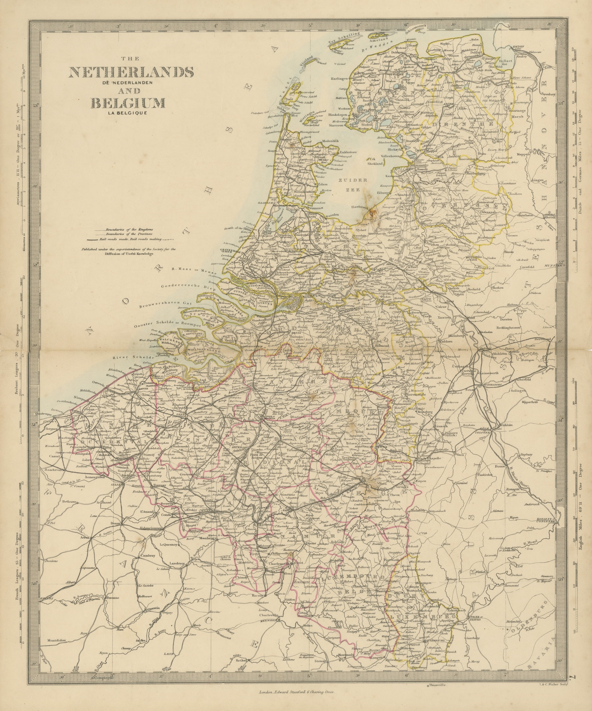
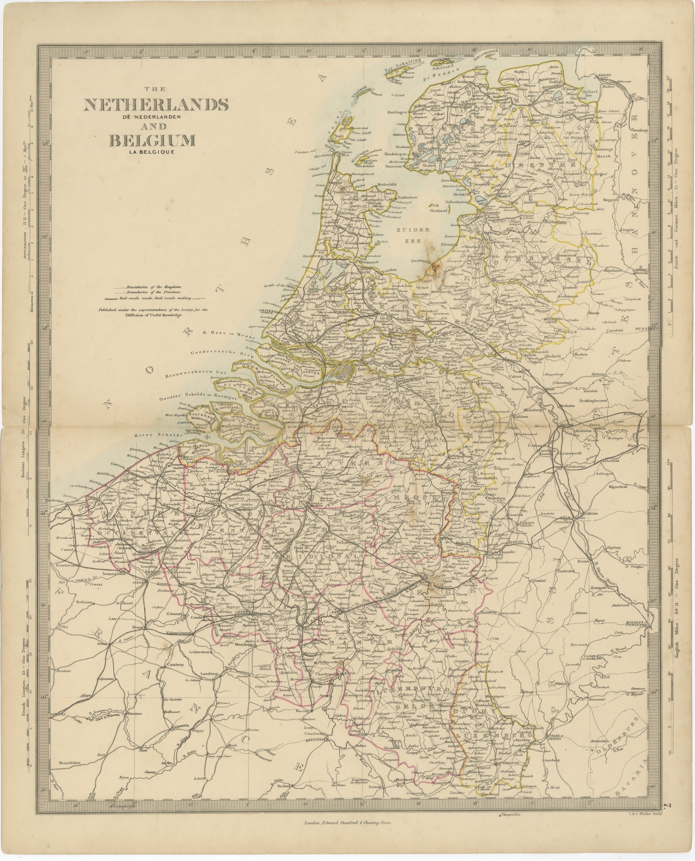
Antique Map of the Netherlands and Belgium, Zuider Zee and Railways, 1858
€ 90
Original antique · The actual sheet photographed · Certificate of authenticity on request · Sold unframed · Worldwide shipping from € 15 (rates)
Date
1858
Mapmaker / artist
Society for the Diffusion of Useful Knowledge; engraved by J. & C. Walker
Publisher
Edward Stanford, London
Technique
Steel engraving
Coloring
Hand colored
Condition
Good
Reference
BG-14227-1-7
What the condition grades mean
Excellent
Bright and clean, with no faults worth mentioning.
Very good
Only light signs of age, such as faint toning.
Good
Normal signs of age for a sheet of this period: toning, some foxing, small marks or neat old repairs.
Fair
Clear faults such as staining, tears or repairs, priced to match.
Every fault we see is written in the condition note, and the whole sheet is shown uncropped in the photos.
Condition
Light wear to the top left corner; minor nicks to the right edge. Age toning, darker at the edges; edge soiling and scattered foxing in the margins. A center fold, as issued. Several small brown spots in the printed area, near Harderwijk, Dordrecht, Hasselt and Liège.
About this sheet
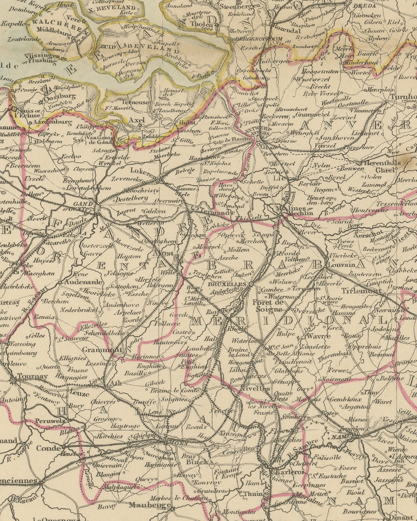
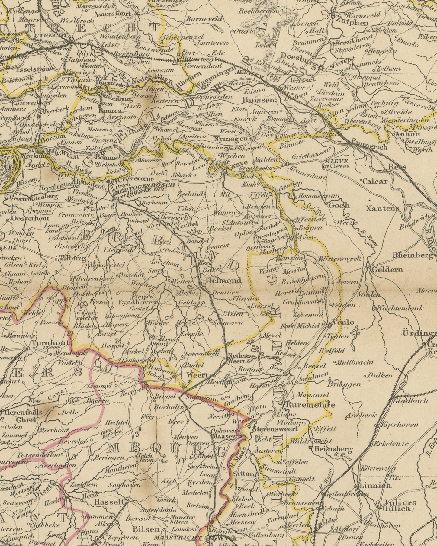
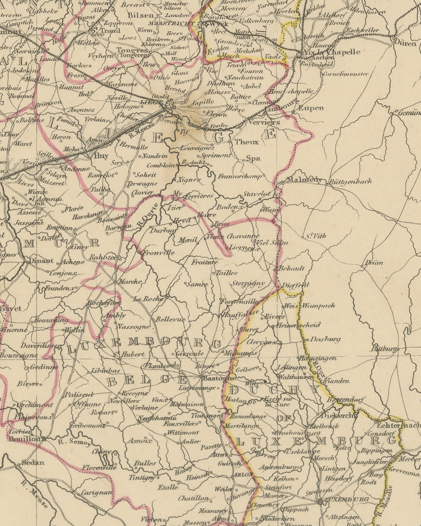
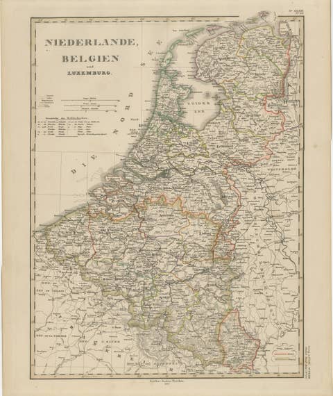
Original antique map of the Netherlands and Belgium, a steel engraving colored by hand in outline, with a pale blue wash along the coasts and around the Zuider Zee, lettered "THE NETHERLANDS DE NEDERLANDEN AND BELGIUM LA BELGIQUE" in the title at the upper left. The map shows the two kingdoms with their provinces, the Netherlands bordered in yellow and Belgium in crimson, from the Wadden islands and the Zuider Zee south through the Scheldt and Maas delta to Luxembourg, with neighboring parts of France and Germany as far as Thionville, Münster and Aix la Chapelle.
Beneath the title is a key: "Boundaries of the Kingdoms", "Boundaries of the Provinces", "Rail-roads made" and "Rail-roads making", followed by "Published under the superintendence of the Society for the Diffusion of Useful Knowledge". Five scales are engraved in the side margins: "Myriametres, 11.11 = One Degree", "Brabant Leagues 20 = One Degree", "French Leagues 25 = One Degree", "Dutch and German Miles 15 = One Degree" and "English Miles 69.11 = One Degree". The imprint below the border reads "London, Edward Stanford 6 Charing Cross.", the engraver line "J. & C. Walker Sculpt." is at the lower right, and the plate number "7." is engraved in the right margin.
The map comes from The Harrow Atlas of Modern Geography, published in London in 1858 by Edward Stanford of 6 Charing Cross and sold at Harrow by Crossley and Clarke, booksellers to Harrow School. Its maps were selected from those of the Society for the Diffusion of Useful Knowledge (SDUK), founded in London in 1826, which issued its map series in parts from 1829 and was wound up in 1848; Stanford later issued the maps under his own imprint. The sheet shows the Zuider Zee as an open inlet of the North Sea and the Haarlemmer Meer as a lake, and the railways radiating from Brussels across Belgium are notably denser than those in the Netherlands.
Condition: Light wear to the top left corner; minor nicks to the right edge. Age toning, darker at the edges; edge soiling and scattered foxing in the margins. A center fold, as issued. Several small brown spots in the printed area, near Harderwijk, Dordrecht, Hasselt and Liège.
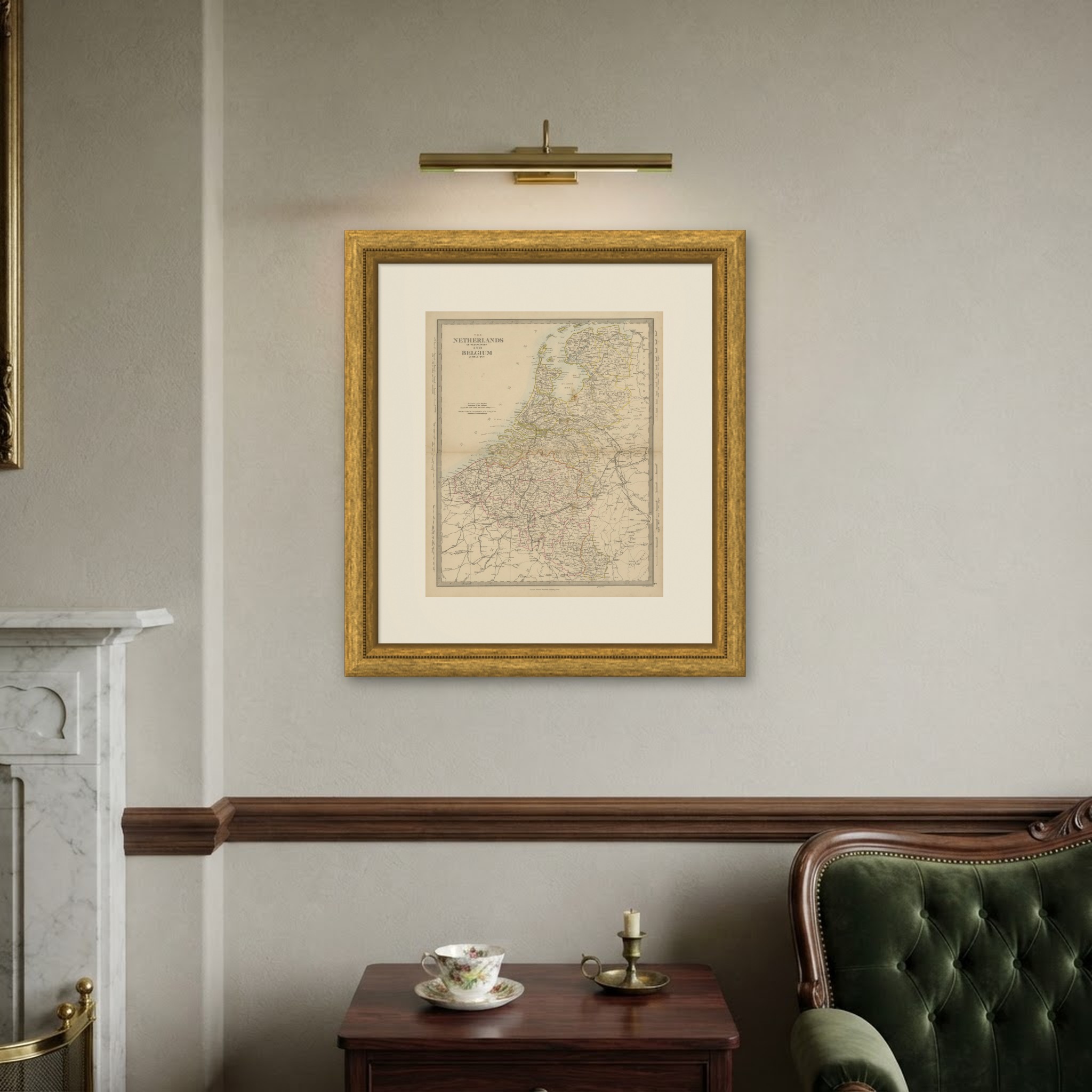
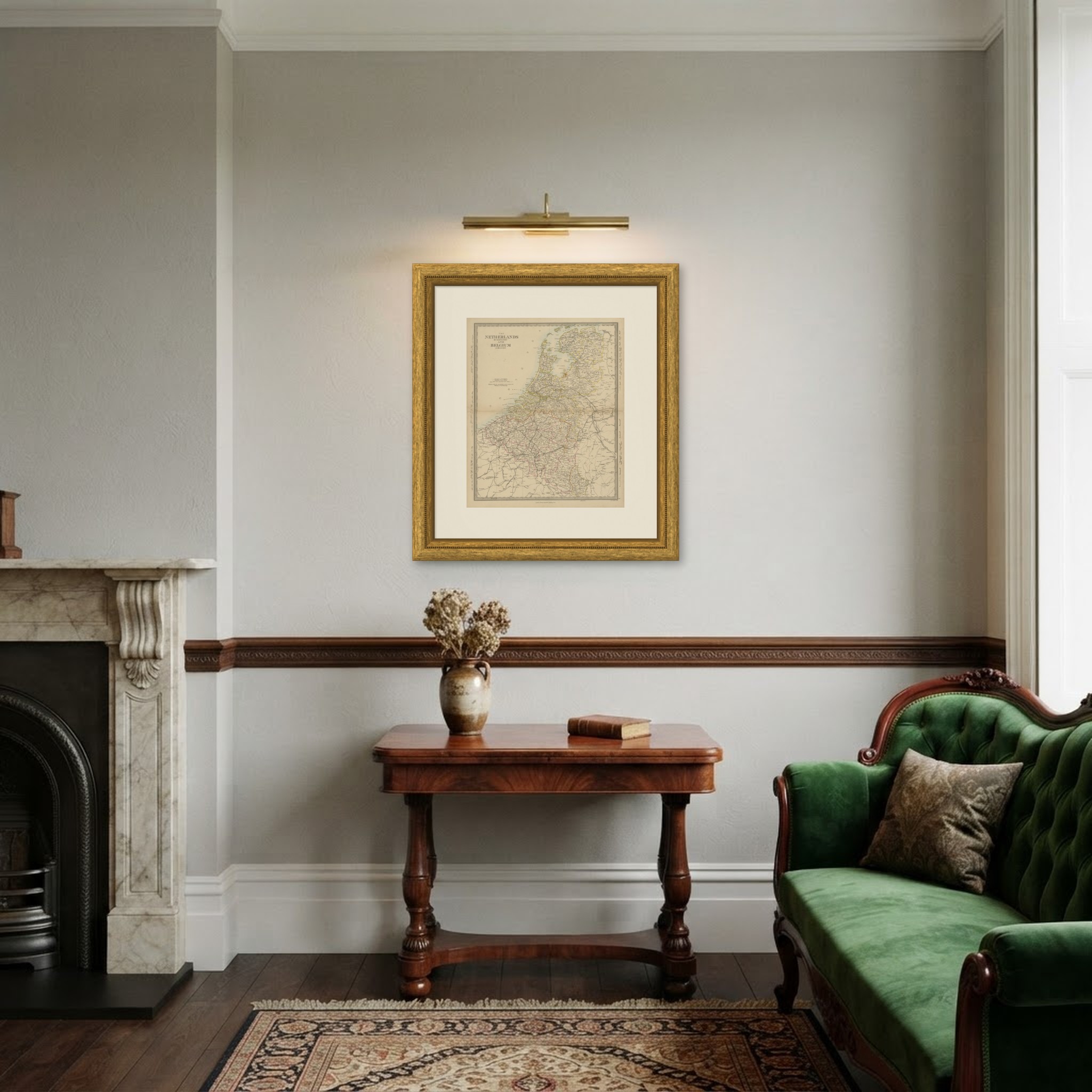
This is an original antique map, not a modern reproduction. This item is sold unframed. Any framed or interior images are shown for presentation and inspiration only, unless the listing explicitly states that the item is sold framed.