About this sheet
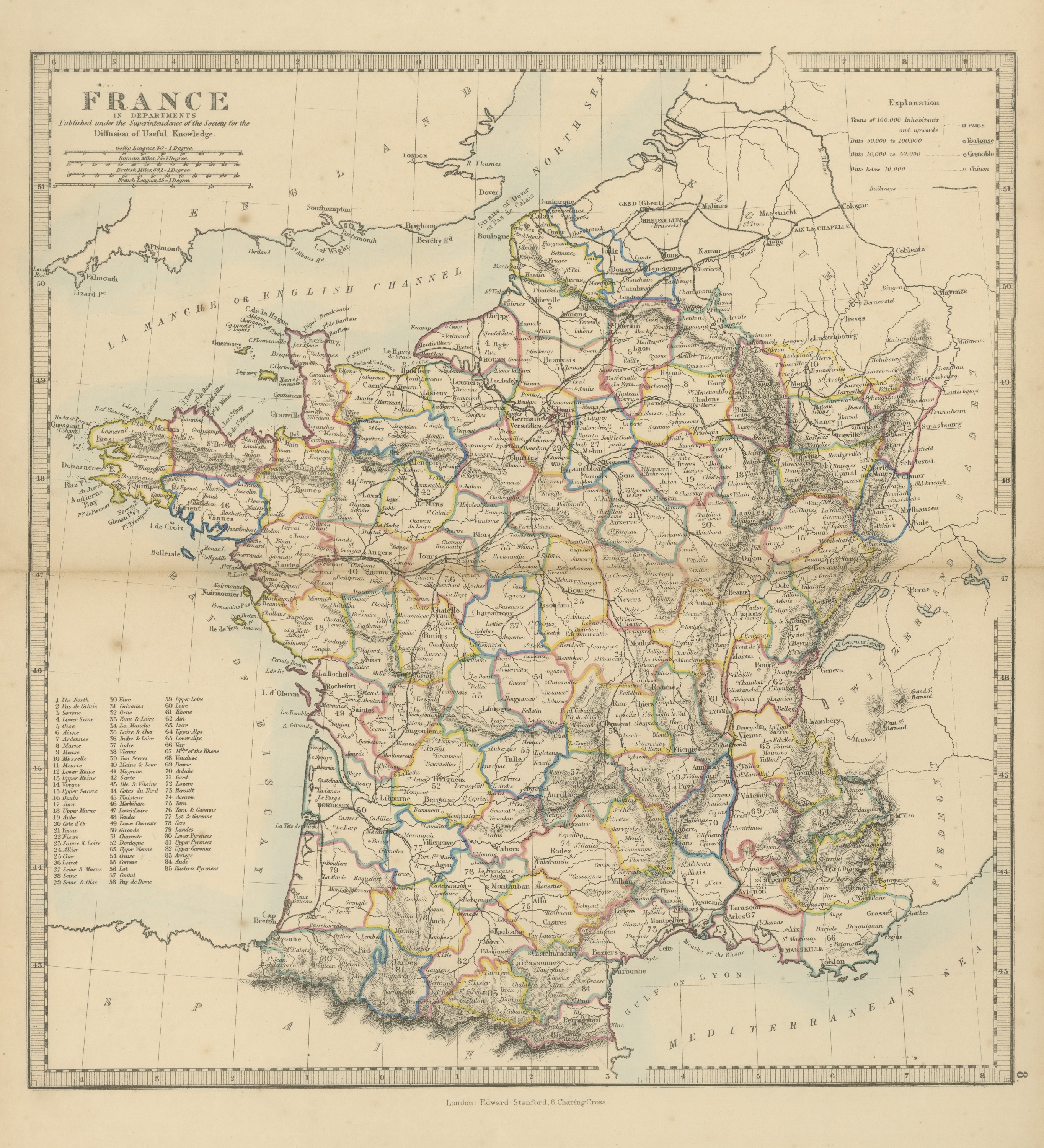
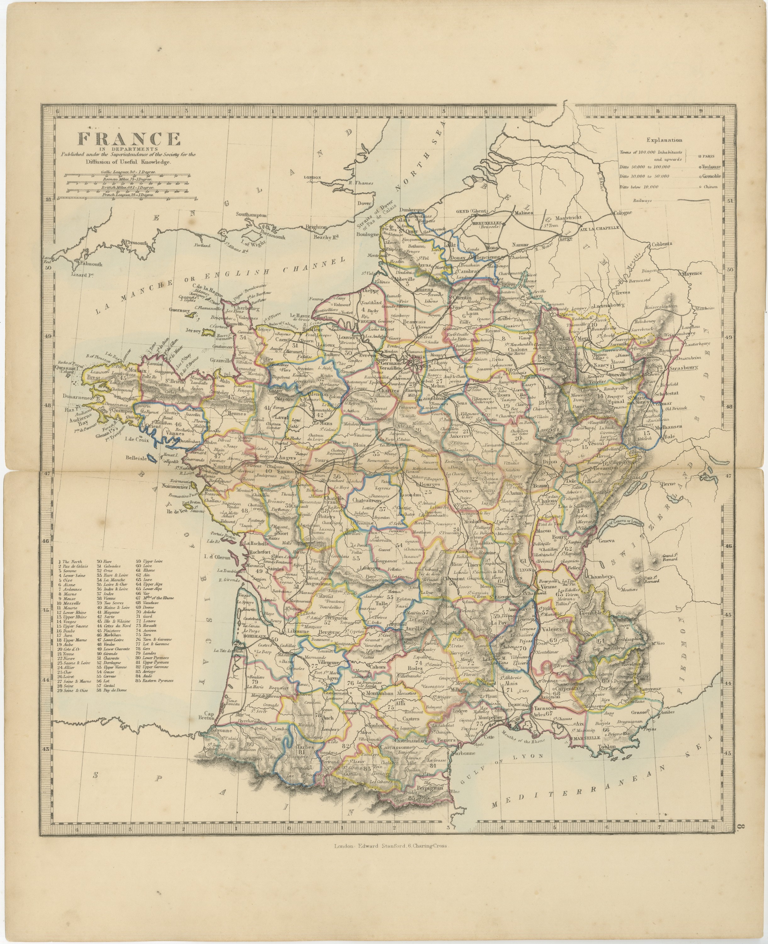
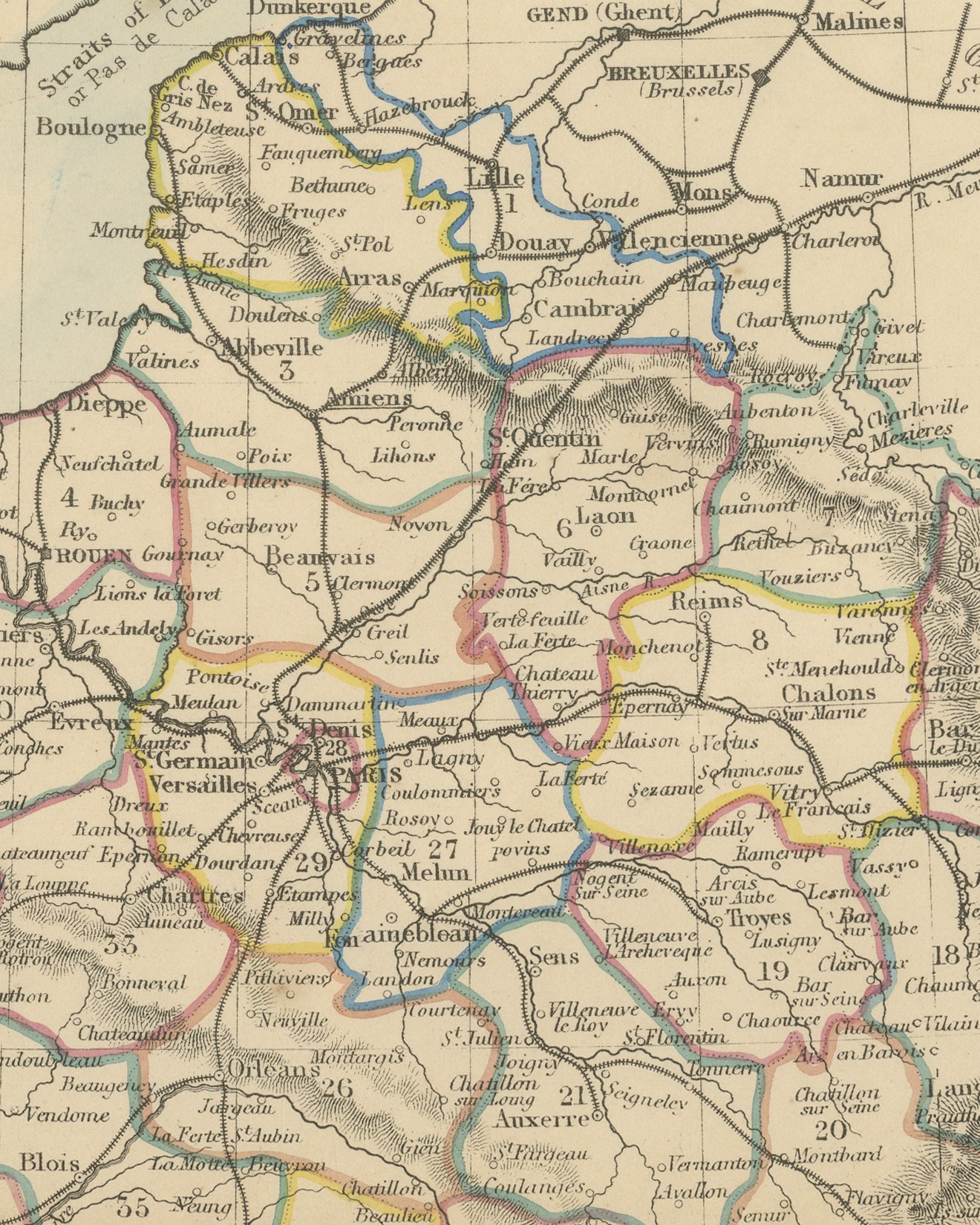
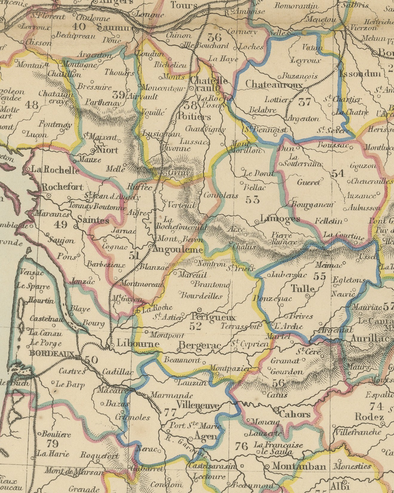
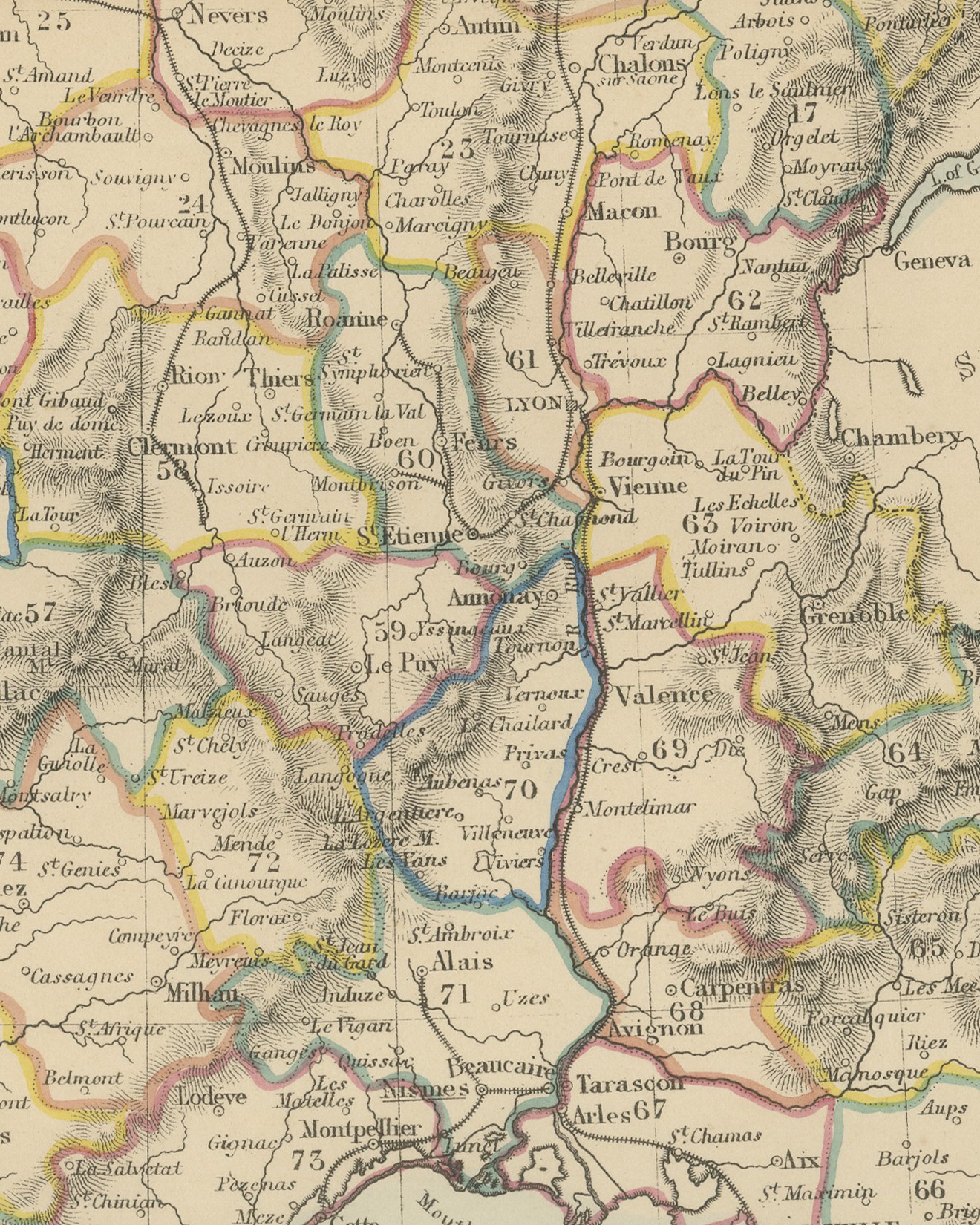
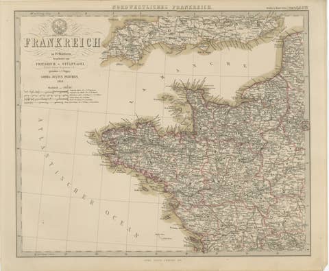
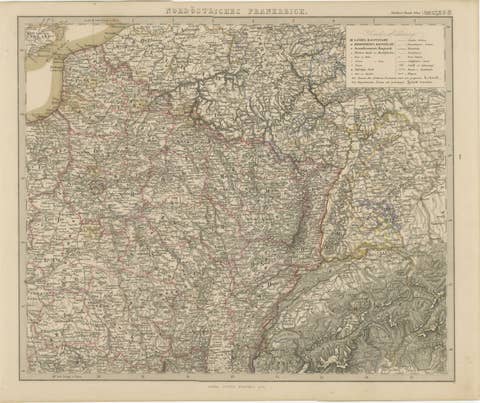
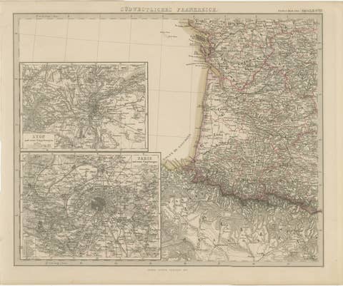
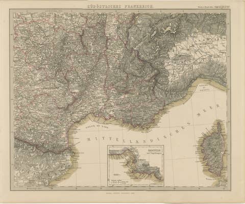
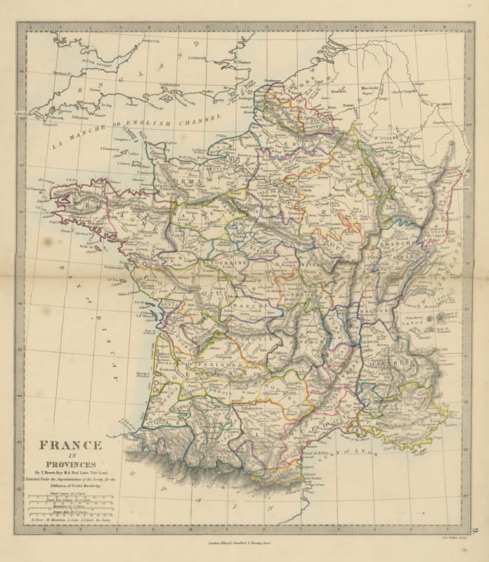
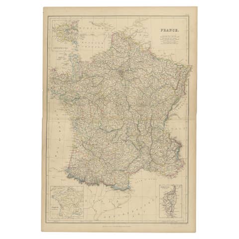
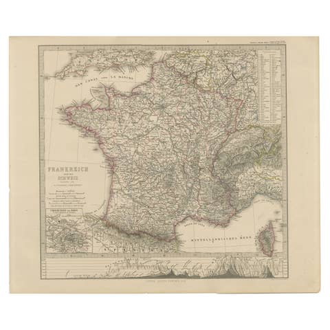
This is an original antique map of France, a steel engraving colored by hand, titled "FRANCE IN DEPARTMENTS". The departments are outlined in color, with a pale blue wash along the coasts. The map covers mainland France from the Channel and the North Sea to the Pyrenees and the Gulf of Lyon, with the south coast of England, Belgium, the Rhine, Switzerland and Piedmont at the edges. Relief is engraved in hachures, and each department carries a number on the map.
Below the title the plate reads "Published under the Superintendence of the Society for the Diffusion of Useful Knowledge." Four scales follow: "Gallic Leagues, 30 = 1 Degree.", "Roman Miles, 75 = 1 Degree.", "British Miles, 69,1 = 1 Degree." and "French Leagues, 25 = 1 Degree." At upper right an "Explanation" grades towns by population, from "Towns of 100,000 Inhabitants and upwards" (Paris) down to "Ditto below 10,000" (Chinon), and gives the symbol for "Railways". At lower left a numbered key names the departments from "1 The North" and "2 Pas de Calais" to "85 Eastern Pyrenees", most in English forms such as "Lower Seine" and "Upper Rhine". Below the border is the imprint "London: Edward Stanford, 6, Charing Cross.", with the plate number "8." outside the lower right corner.
The plate comes from The Harrow Atlas of Modern Geography, published in London in 1858 by Edward Stanford of 6 Charing Cross and sold at Harrow by Crossley and Clarke, booksellers to Harrow School. Its maps were selected from those of the Society for the Diffusion of Useful Knowledge, founded in London in 1826, which issued its series of maps in parts from 1829 until the Society was wound up in 1848. Edward Stanford later issued the maps under his own imprint, as this sheet shows. The map shows the railway lines radiating from Paris, and Chambéry and the coast east of Antibes lie outside the colored French border, with Piedmont lettered along the Alps.
The numbered key and the colored department borders make this a clear reference map for a study or a collection of French material.
Condition: Light handling wear to the bottom right corner; minor nicks along the left edge. Even age toning. A few small foxing spots in the margin. A center fold, as issued.
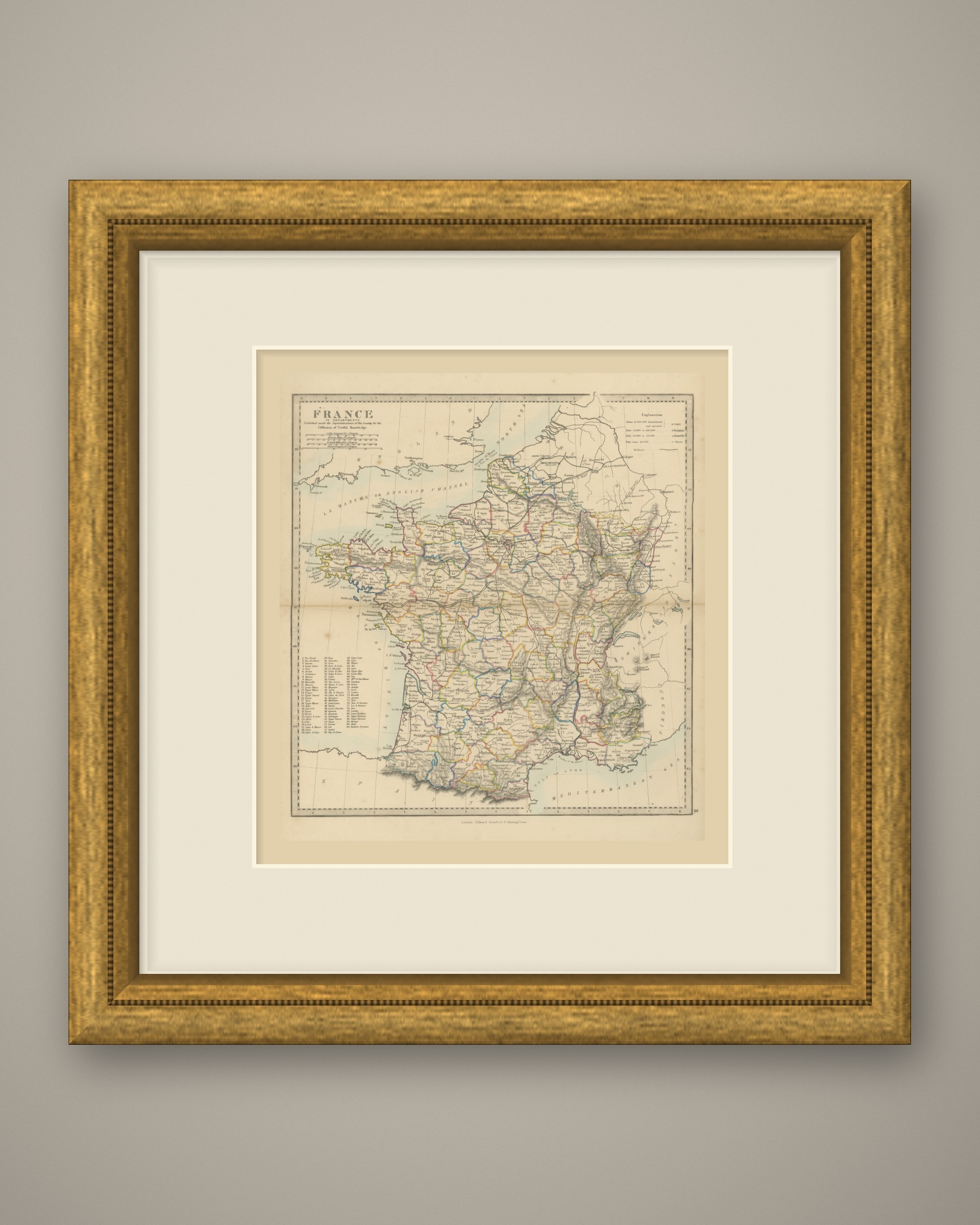
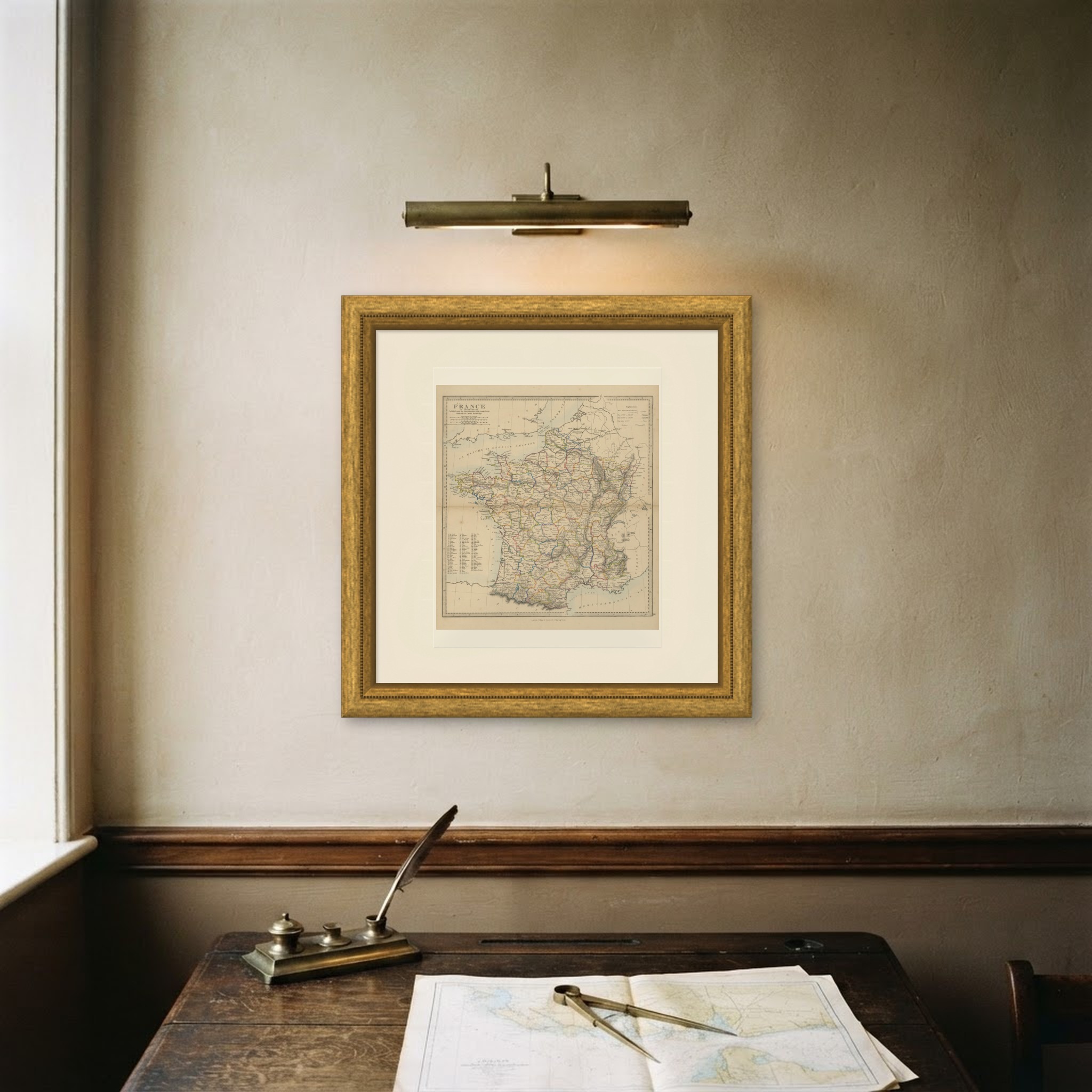
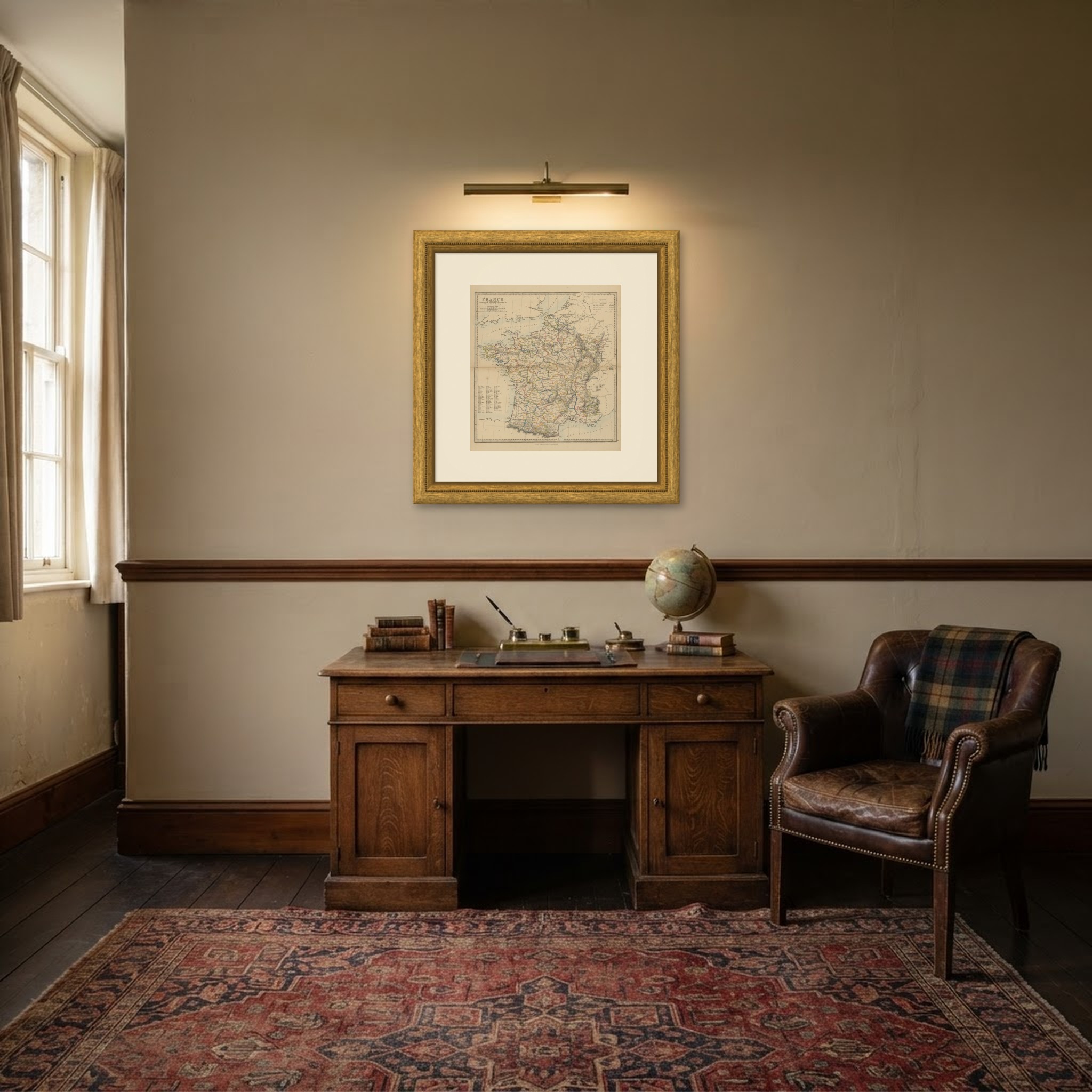
This is an original antique map, not a modern reproduction. This item is sold unframed. Any framed or interior images are shown for presentation and inspiration only, unless the listing explicitly states that the item is sold framed.