Roman Roads of Ancient Italy, d'Anville Voies Romaines Map, 1818
€ 285
Original antique · The actual sheet photographed · Certificate of authenticity on request · Sold unframed · Worldwide shipping from € 15 (rates)
Date
1818
Mapmaker / artist
Jean-Baptiste Bourguignon d'Anville, cartographer
Publisher
Ledoux et Tenré, Paris
Technique
Copper Engraving
Coloring
Uncolored
Condition
Good
Reference
BG-14399-17
What the condition grades mean
Excellent
Bright and clean, with no faults worth mentioning.
Very good
Only light signs of age, such as faint toning.
Good
Normal signs of age for a sheet of this period: toning, some foxing, small marks or neat old repairs.
Fair
Clear faults such as staining, tears or repairs, priced to match.
Every fault we see is written in the condition note, and the whole sheet is shown uncropped in the photos.
Condition
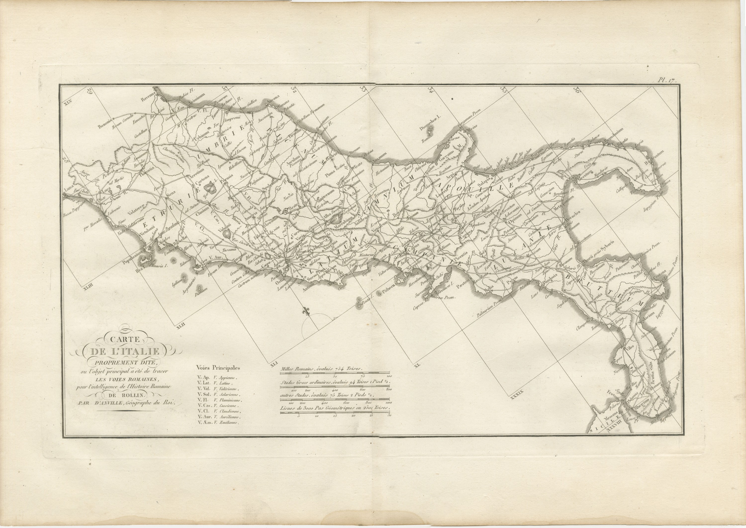
Light uneven toning, browner toward the edges. Marked handling soiling along all four edges. Foxing over much of the margin. Slight wear at the top right corner. Minor edge wear, shallow nicks along the right. Several larger brown marks.
About this sheet
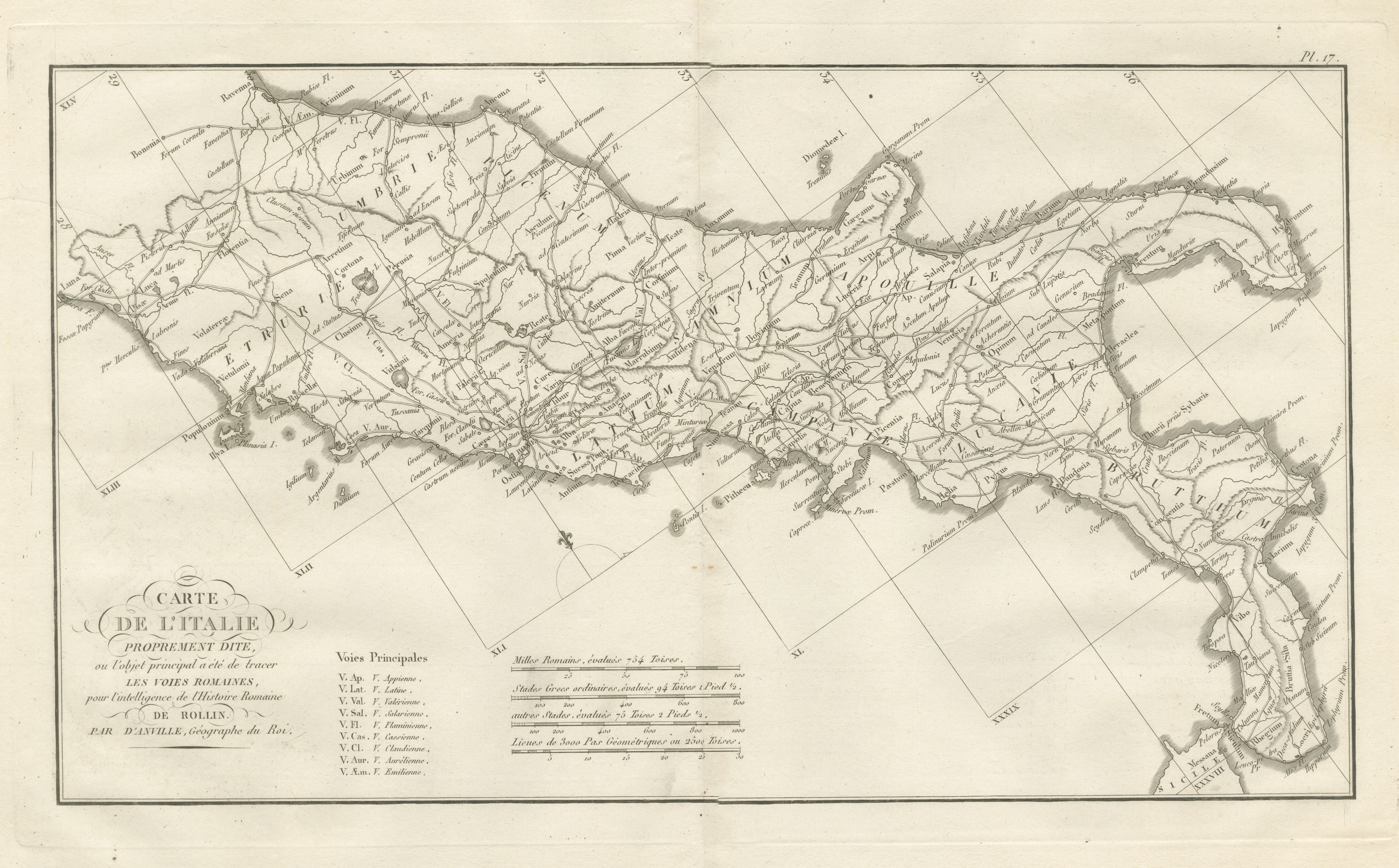
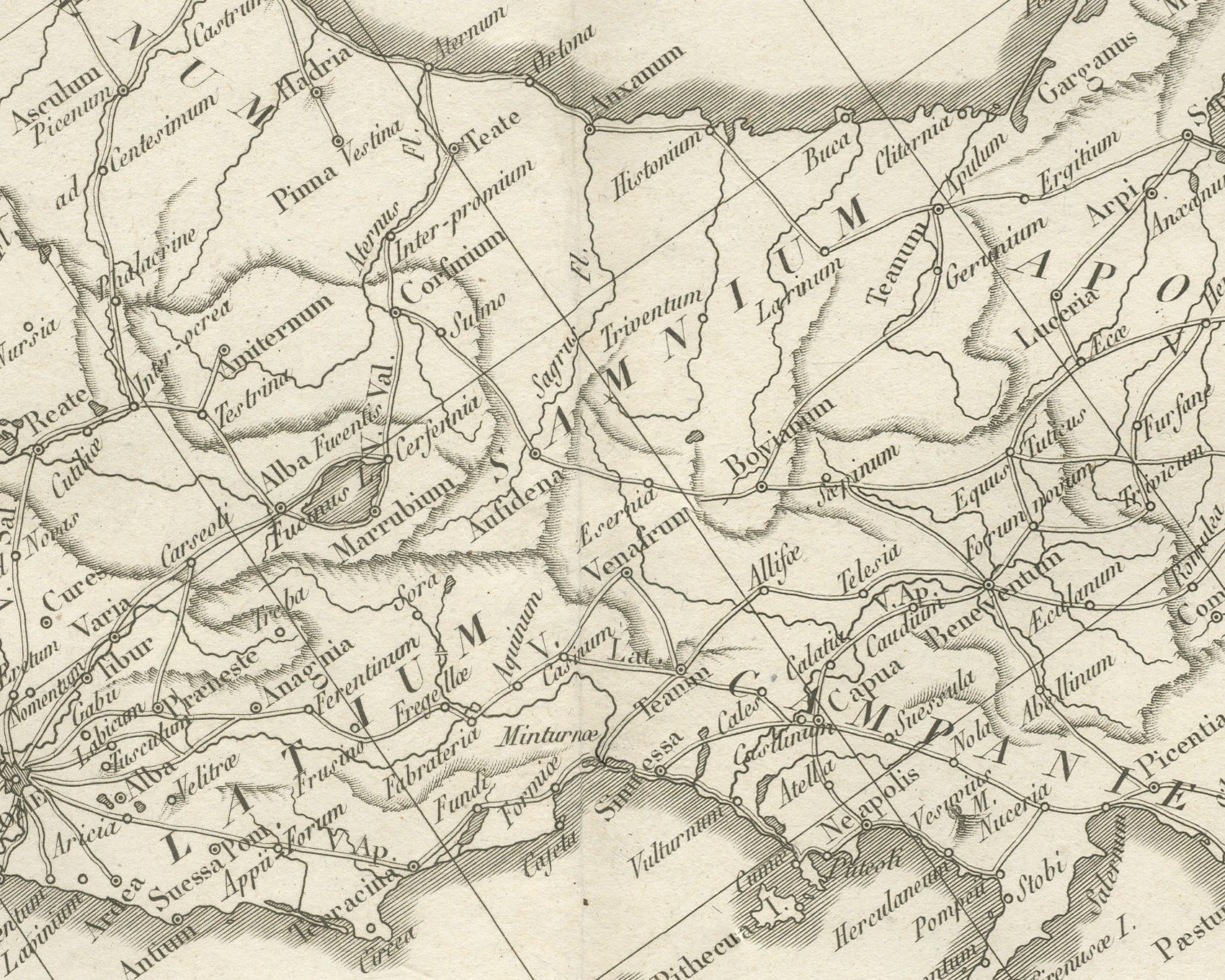
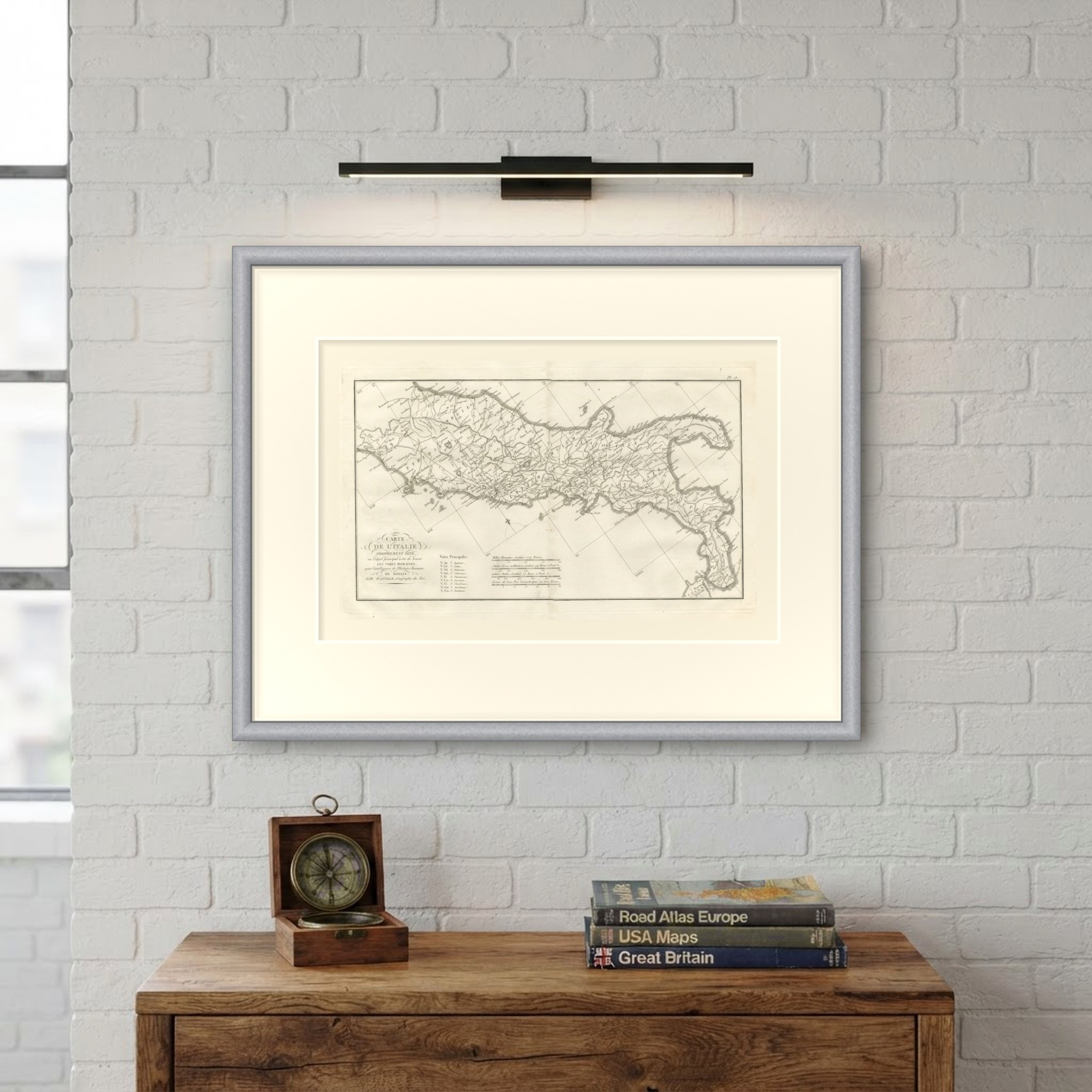
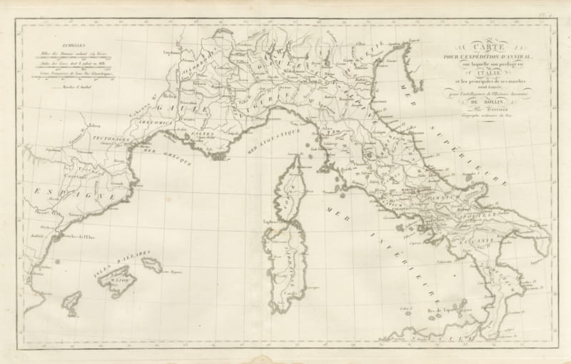
An original copper engraved map, uncolored, of ancient Italy drawn to show the Roman roads. The peninsula is turned to lie along the length of the sheet, and the graticule runs obliquely, with the latitudes numbered in Roman numerals from XLV in the north to XXXVIII at the Strait of Messina. Roads are drawn as fine double lines linking the towns, radiating from Rome and running north to Ariminum, Ravenna and Bononia and south through Latium to Brundusium and Rhegium. Florentia, Ancona, Ostia, Tarentum, Vibo and Messana are among the towns placed. Road names are marked along their courses with the abbreviations of the key, such as V. Ap., V. Æm., V. Fl. and V. Sal.
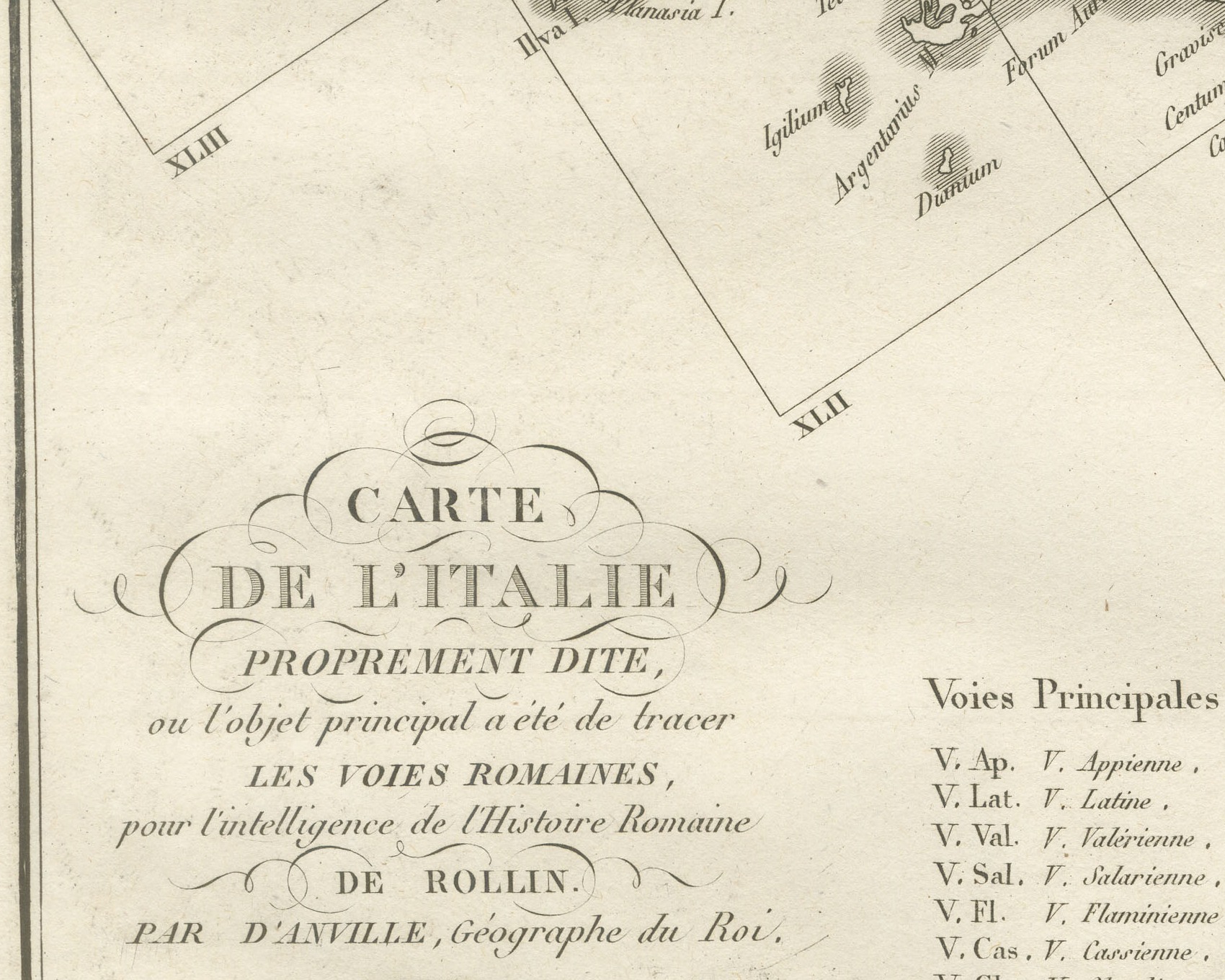
The cartouche at lower left reads Carte de l'Italie proprement dite, ou l'objet principal a été de tracer les voies romaines, pour l'intelligence de l'Histoire Romaine de Rollin. Par d'Anville, Géographe du Roi. Beside it a key headed Voies Principales explains nine abbreviations, from V. Ap. V. Appienne to V. Æm. V. Emilienne. Four scale bars follow: Milles Romains, évalués 754 Toises., Stades Grecs ordinaires, évalués 94 Toises 1 Pied ½., autres Stades, évalués 75 Toises 2 Pieds ½. and Lieues de 3000 Pas Géométriques ou 2500 Toises. The plate is numbered Pl. 17, and a light center fold runs through the double sheet.
The plate comes from the Atlas de Géographie Ancienne, published in Paris in 1818 by Ledoux et Tenré and printed by Didot le jeune to accompany the works of Charles Rollin (1661 to 1741), the French historian, author of the Histoire ancienne and the Histoire romaine. Its maps are engraved after the originals of Jean-Baptiste Bourguignon d'Anville (1697 to 1782). In the foreword, signed by Ambroise Tardieu, géographe-graveur, Tardieu writes that the maps were copied with religious fidelity and that, charged with reviewing the proofs, he corrected only negligences and faults of execution. The map serves Rollin's Roman history by showing the network of roads along which Rome's armies and traffic moved.
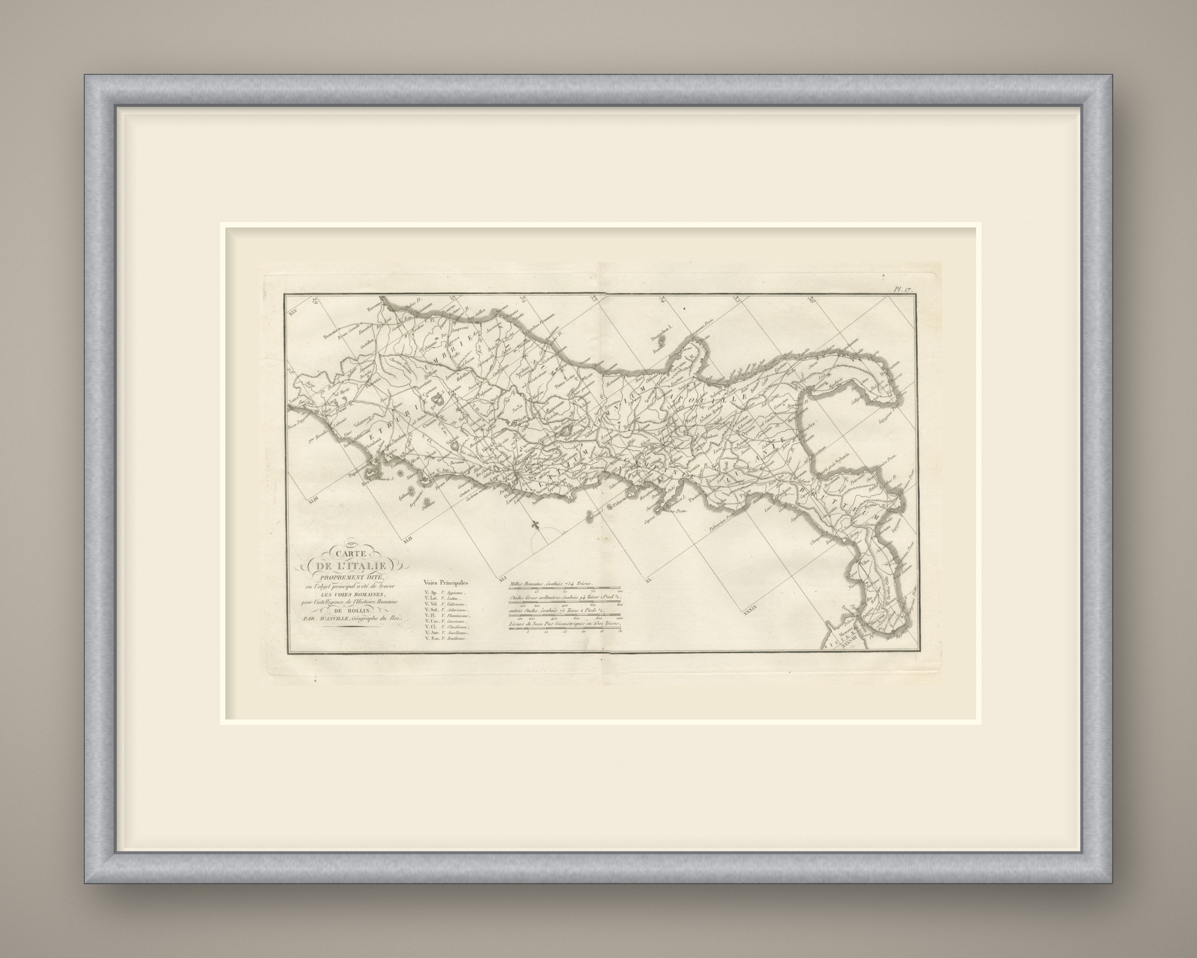
This is an original antique map, not a modern reproduction. This item is sold unframed. Any framed or interior images are shown for presentation and inspiration only, unless the listing explicitly states that the item is sold framed.