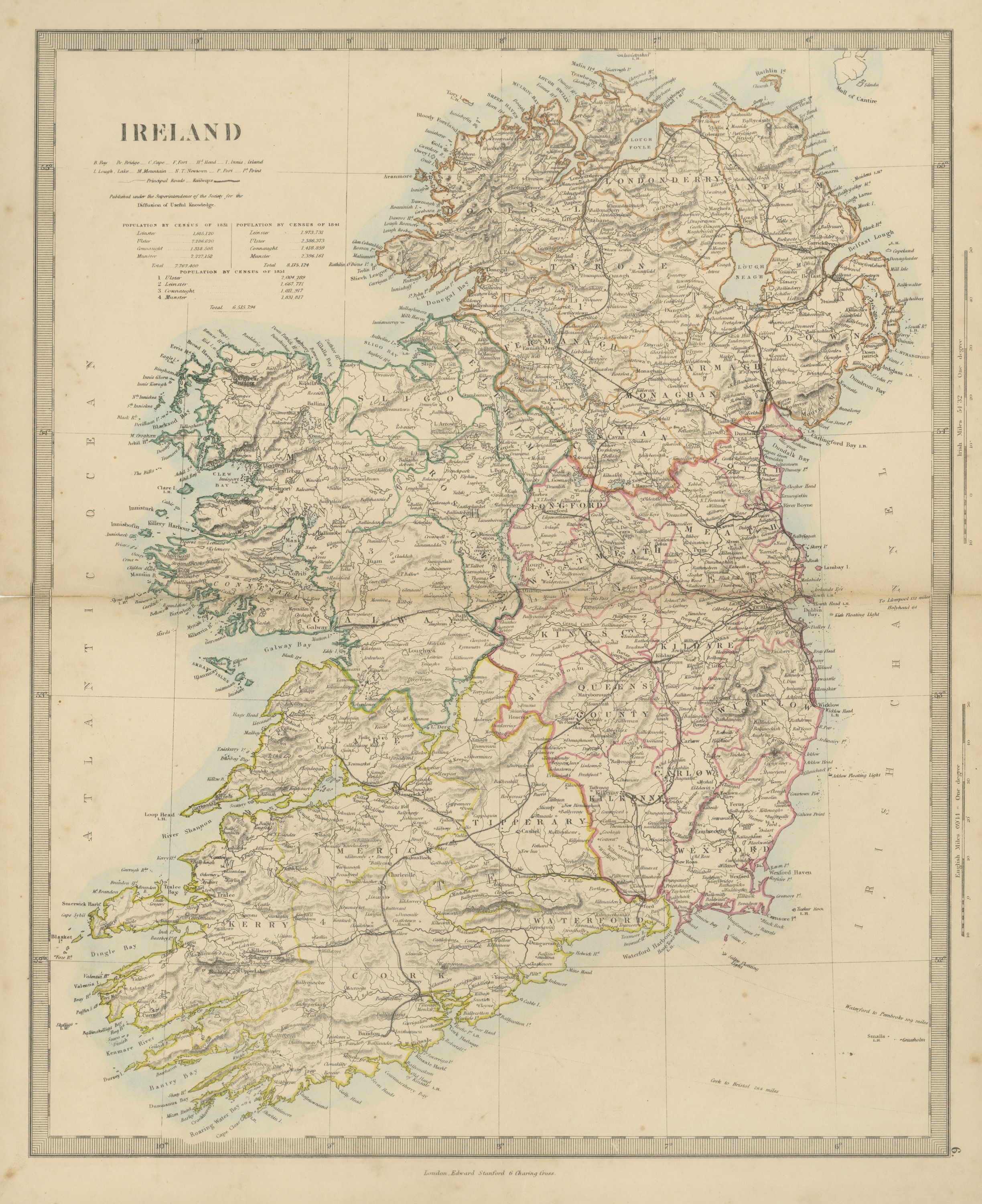
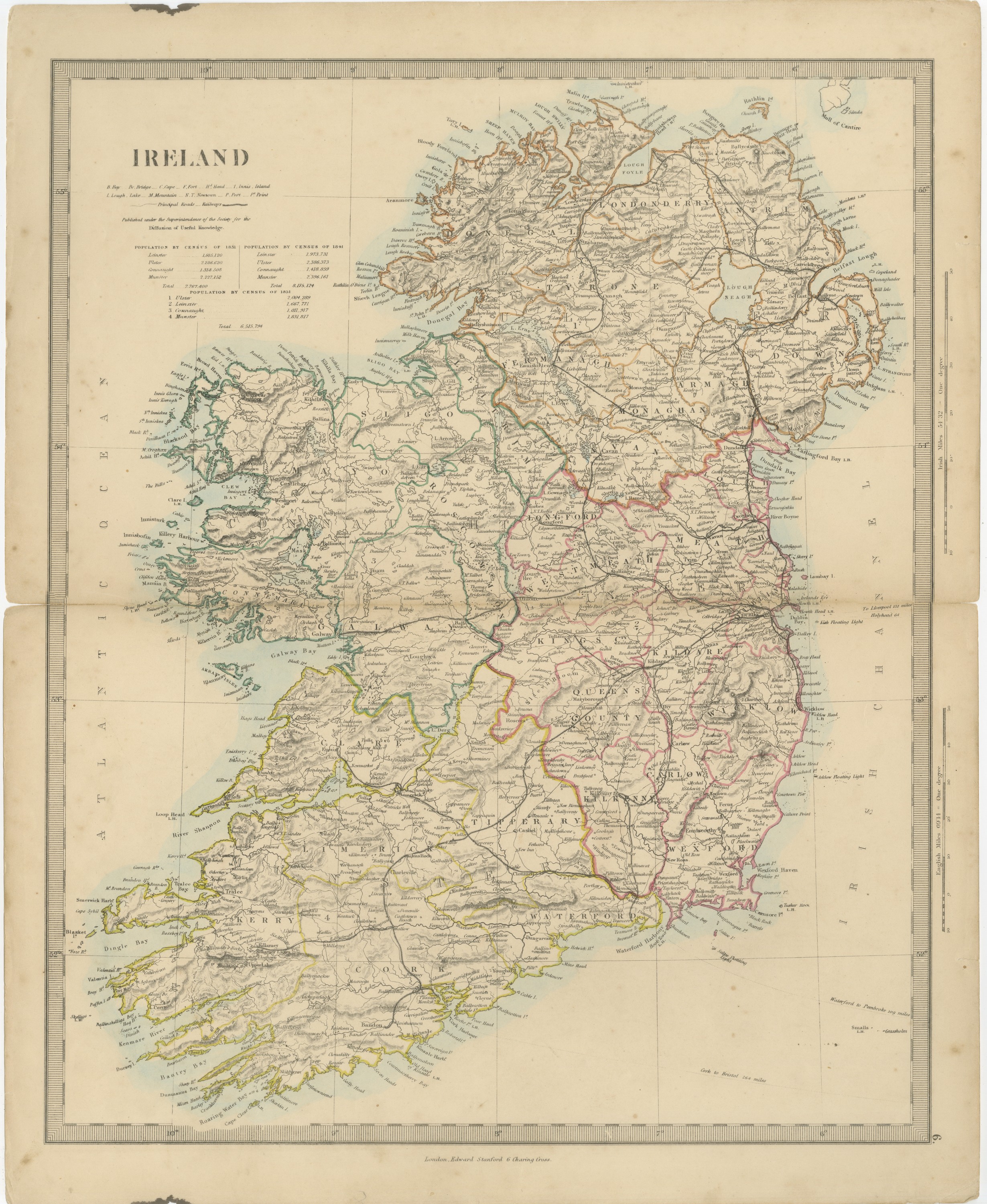
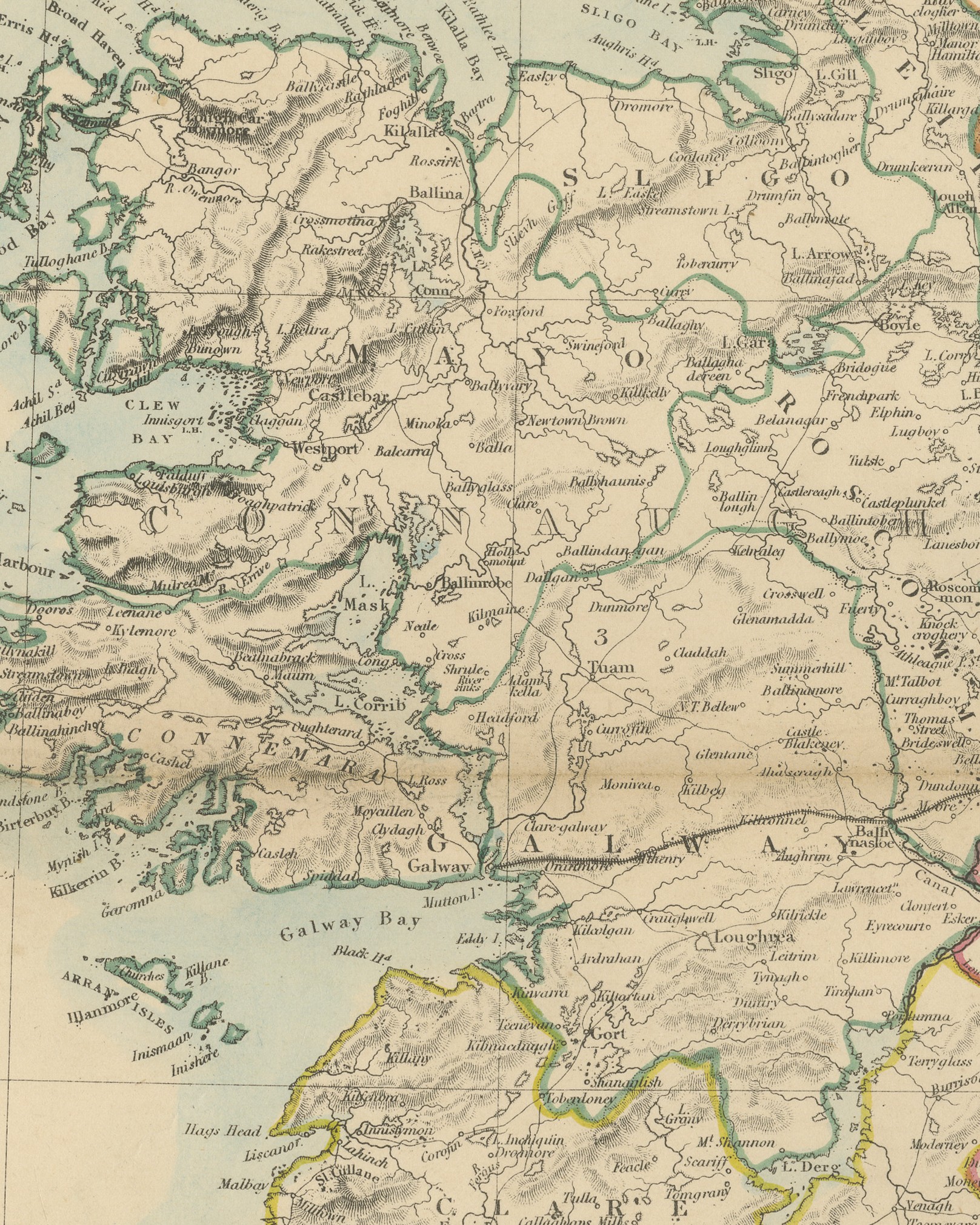
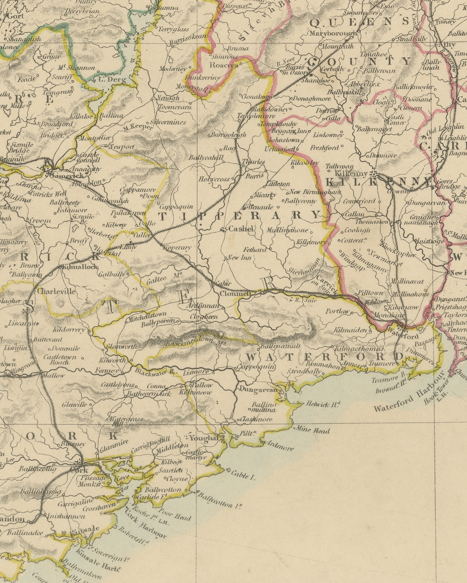
Antique Map of Ireland with Census Tables for 1831, 1841 and 1851, 1858
€ 160
Original antique · The actual sheet photographed · Certificate of authenticity on request · Sold unframed · Worldwide shipping from € 15 (rates)
Date
1858
Mapmaker / artist
Society for the Diffusion of Useful Knowledge
Publisher
Edward Stanford, London
Technique
Steel engraving
Coloring
Hand colored
Condition
Good
Reference
BG-14227-1-6
What the condition grades mean
Excellent
Bright and clean, with no faults worth mentioning.
Very good
Only light signs of age, such as faint toning.
Good
Normal signs of age for a sheet of this period: toning, some foxing, small marks or neat old repairs.
Fair
Clear faults such as staining, tears or repairs, priced to match.
Every fault we see is written in the condition note, and the whole sheet is shown uncropped in the photos.
Condition
A small chip with dark staining to the top edge near the left corner, in the margin; a small irregularity of a few millimeters to the left edge, at the center fold. A center fold, as issued. Light, uneven toning, slightly darker toward the edges. A few small foxing spots in the margin.
About this sheet
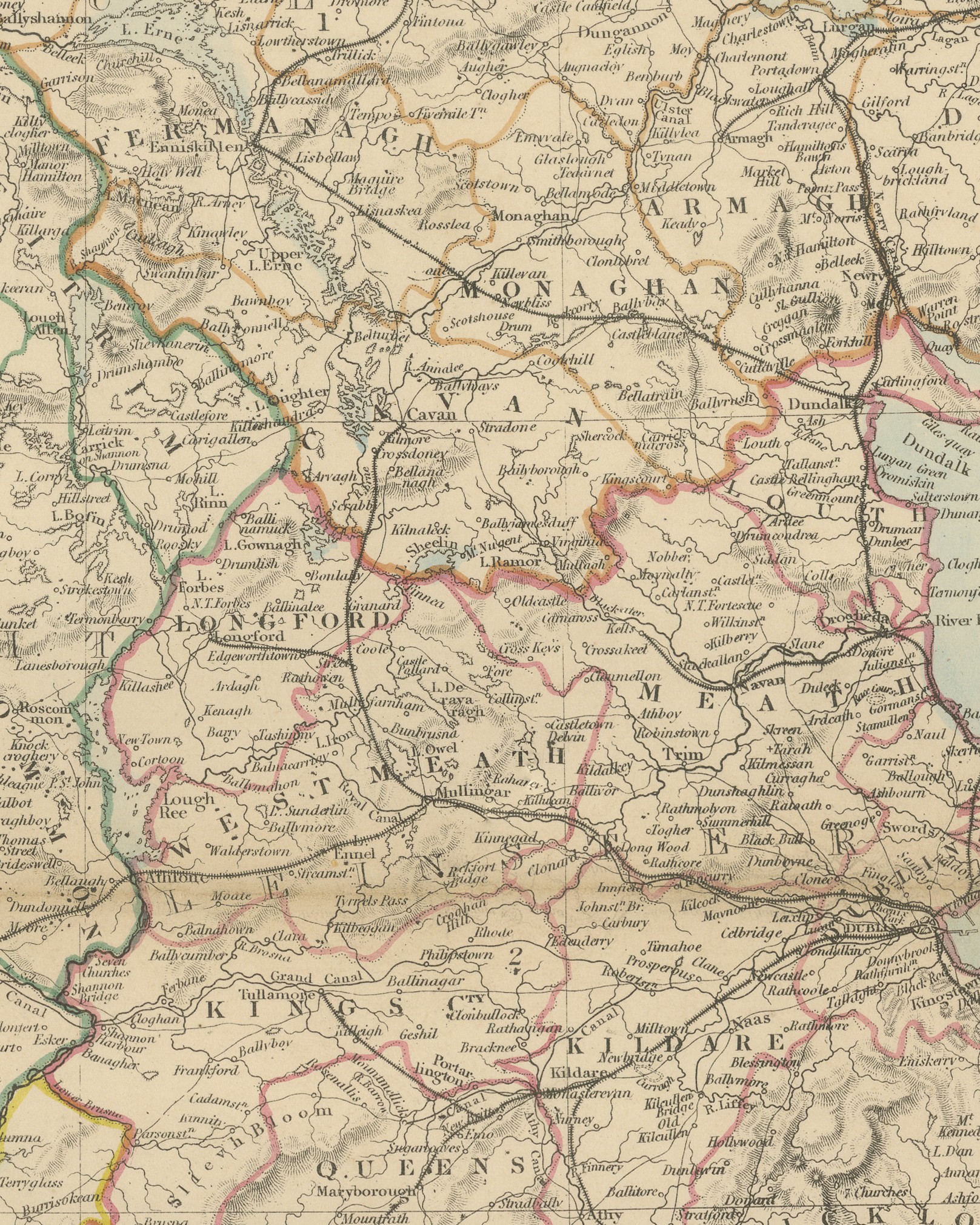
Original antique map of Ireland, a steel engraving colored by hand in outline, with a pale blue wash along the coasts, lettered "IRELAND" in the title at the upper left. The whole island is shown with its counties, towns, roads, railways and canals, the four provinces distinguished by their outline color and numbered 1 to 4 on the map: Ulster in orange, Leinster in crimson, Connaught in green and Munster in yellow. The coast of Scotland around the Mull of Cantire appears at the top right.
Beneath the title is a key to abbreviations, from "B. Bay" to "P.t Point", with "Principal Roads" and "Railways", then "Published under the Superintendence of the Society for the Diffusion of Useful Knowledge." Three tables follow: "POPULATION BY CENSUS OF 1831", total "7,767,400"; "POPULATION BY CENSUS OF 1841", total "8,175,124"; and "POPULATION BY CENSUS OF 1851", total "6,515,794", each giving the figures for the four provinces. The right margin carries scales of "Irish Miles 54.32 = One degree" and "English Miles 69.14 = One degree". The imprint below the border reads "London, Edward Stanford 6 Charing Cross." and the plate number "6." is engraved at the lower right.
The map comes from The Harrow Atlas of Modern Geography, published in London in 1858 by Edward Stanford of 6 Charing Cross and sold at Harrow by Crossley and Clarke, booksellers to Harrow School. Its maps were selected from those of the Society for the Diffusion of Useful Knowledge (SDUK), founded in London in 1826, which issued its map series in parts from 1829 and was wound up in 1848; Stanford later issued the maps under his own imprint. The tables on the sheet record the fall in population between the 1841 and 1851 censuses, the decade of the Great Famine. The map also shows the Grand Canal and Royal Canal and the railway lines running west and south from Dublin.
Condition: A small chip with dark staining to the top edge near the left corner, in the margin; a small irregularity of a few millimeters to the left edge, at the center fold. A center fold, as issued. Light, uneven toning, slightly darker toward the edges. A few small foxing spots in the margin.
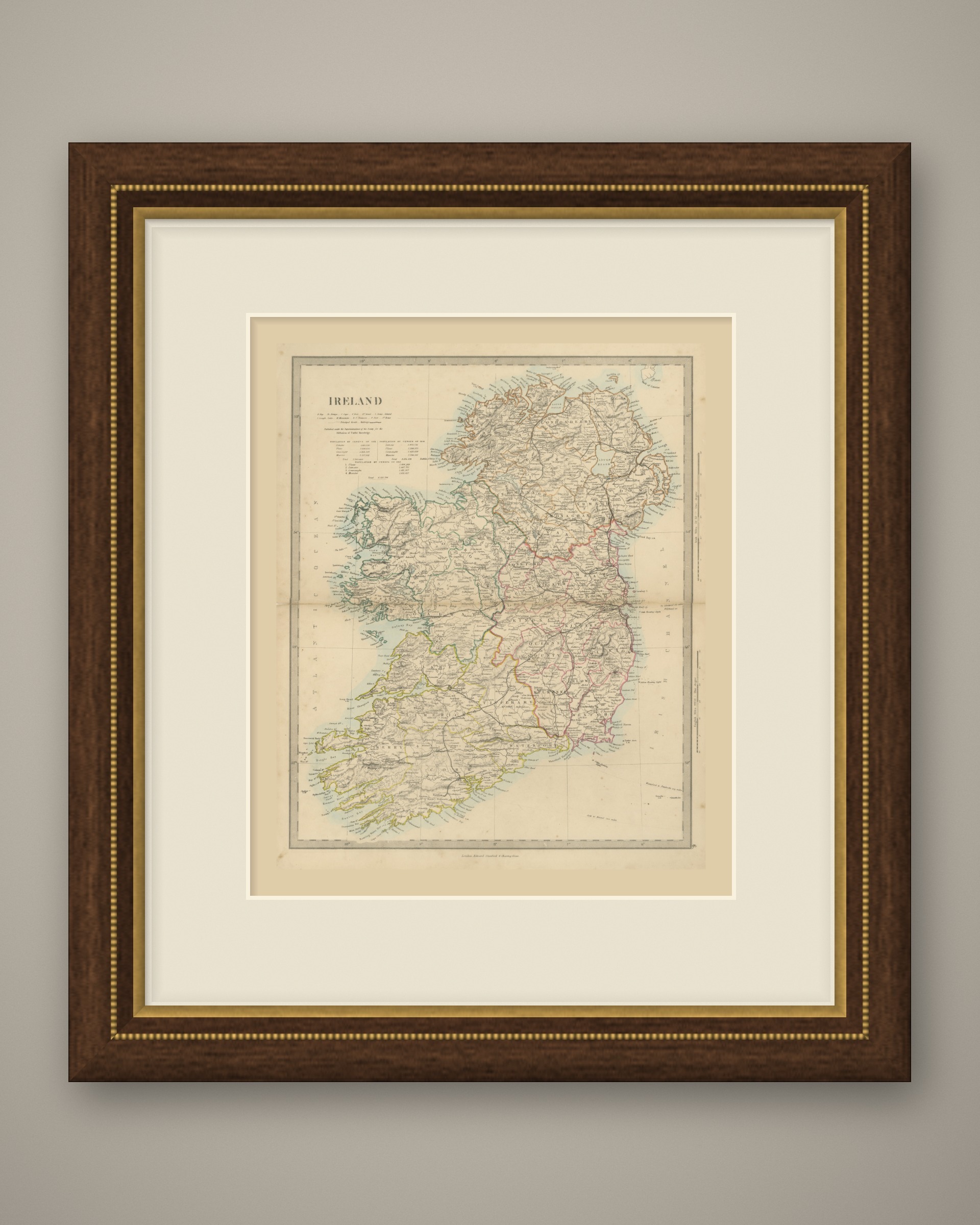
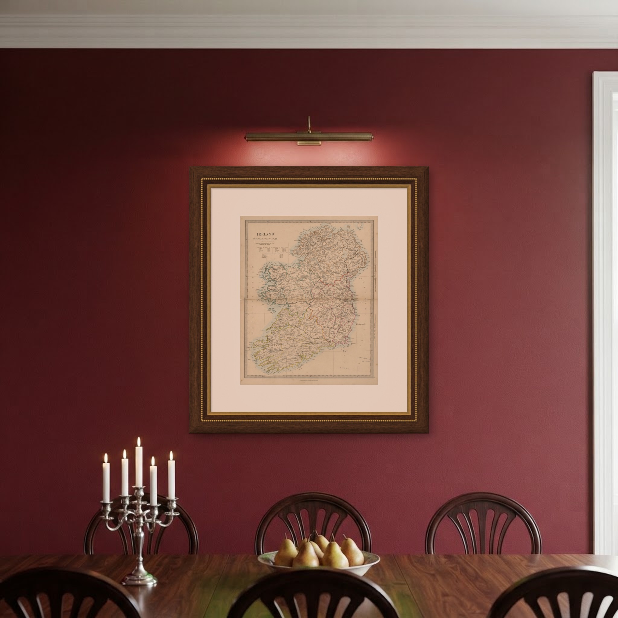
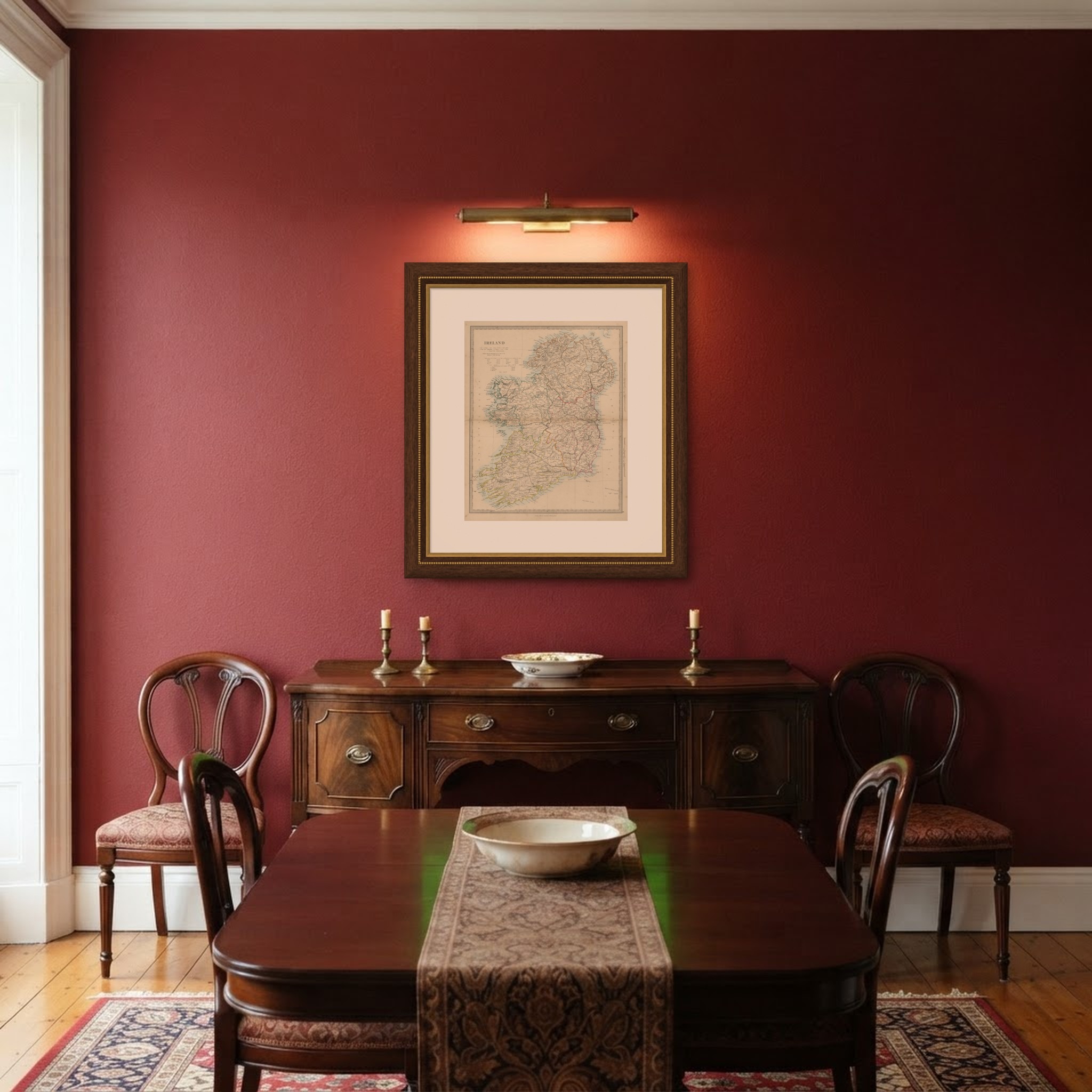
This is an original antique map, not a modern reproduction. This item is sold unframed. Any framed or interior images are shown for presentation and inspiration only, unless the listing explicitly states that the item is sold framed.