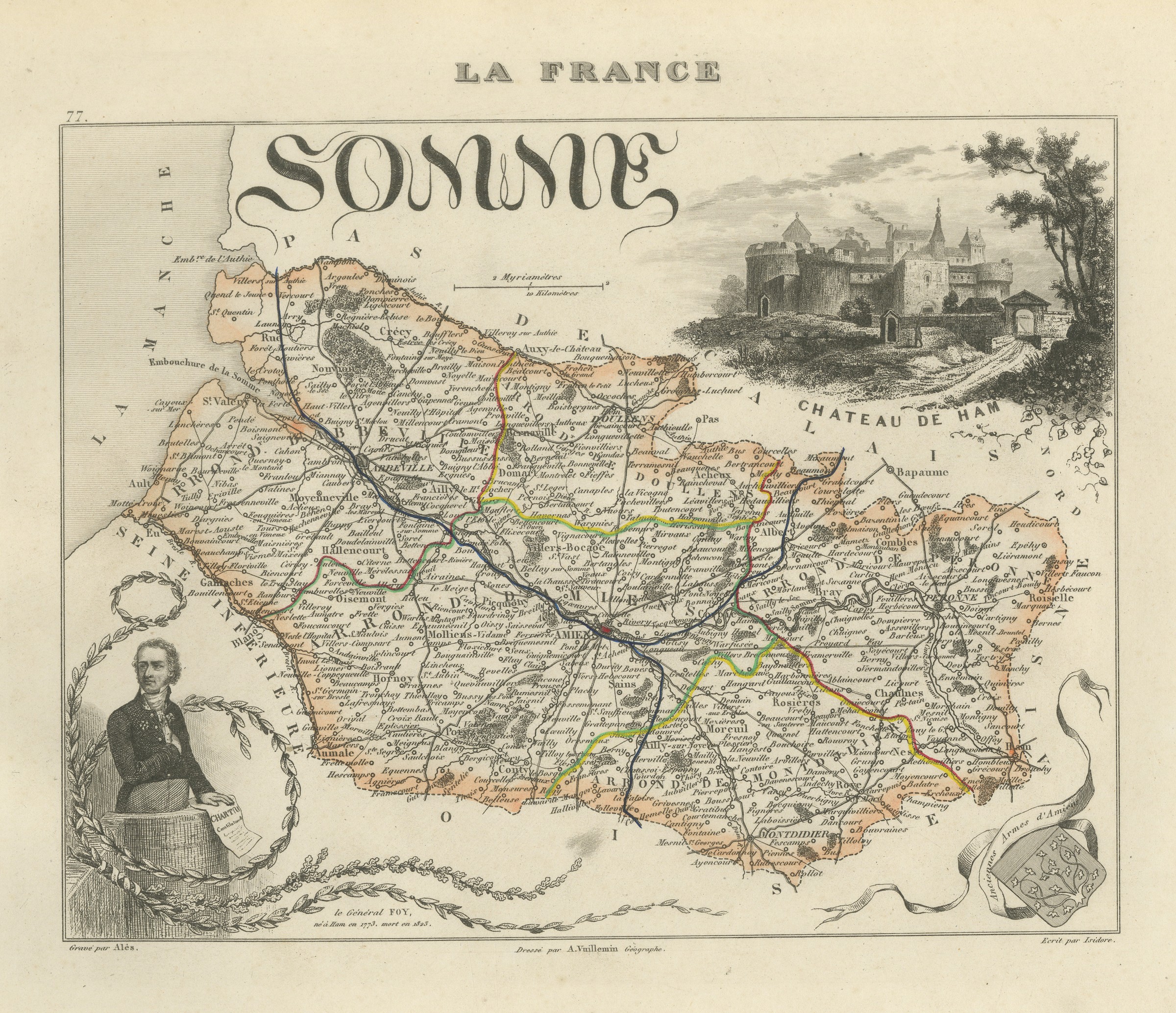
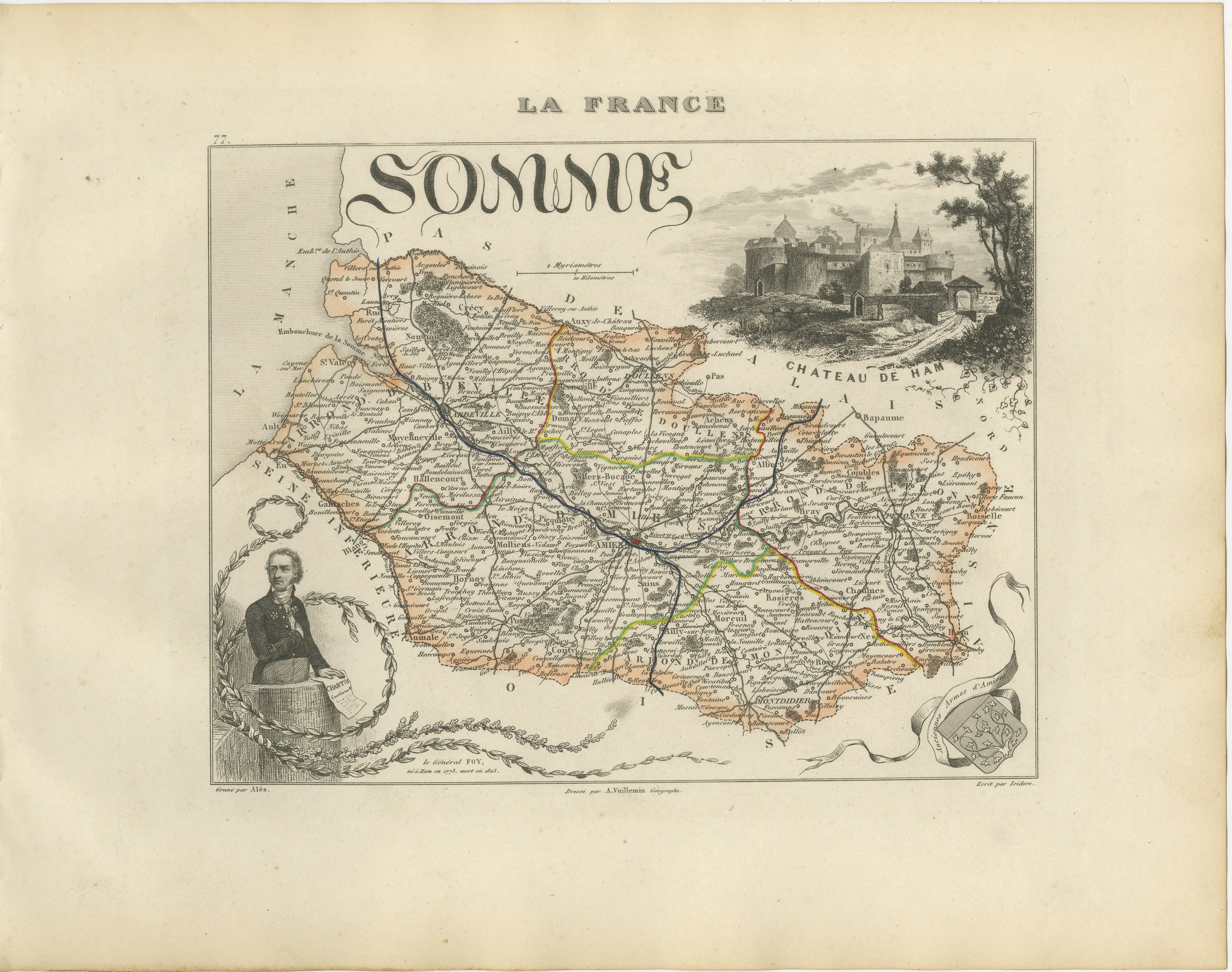
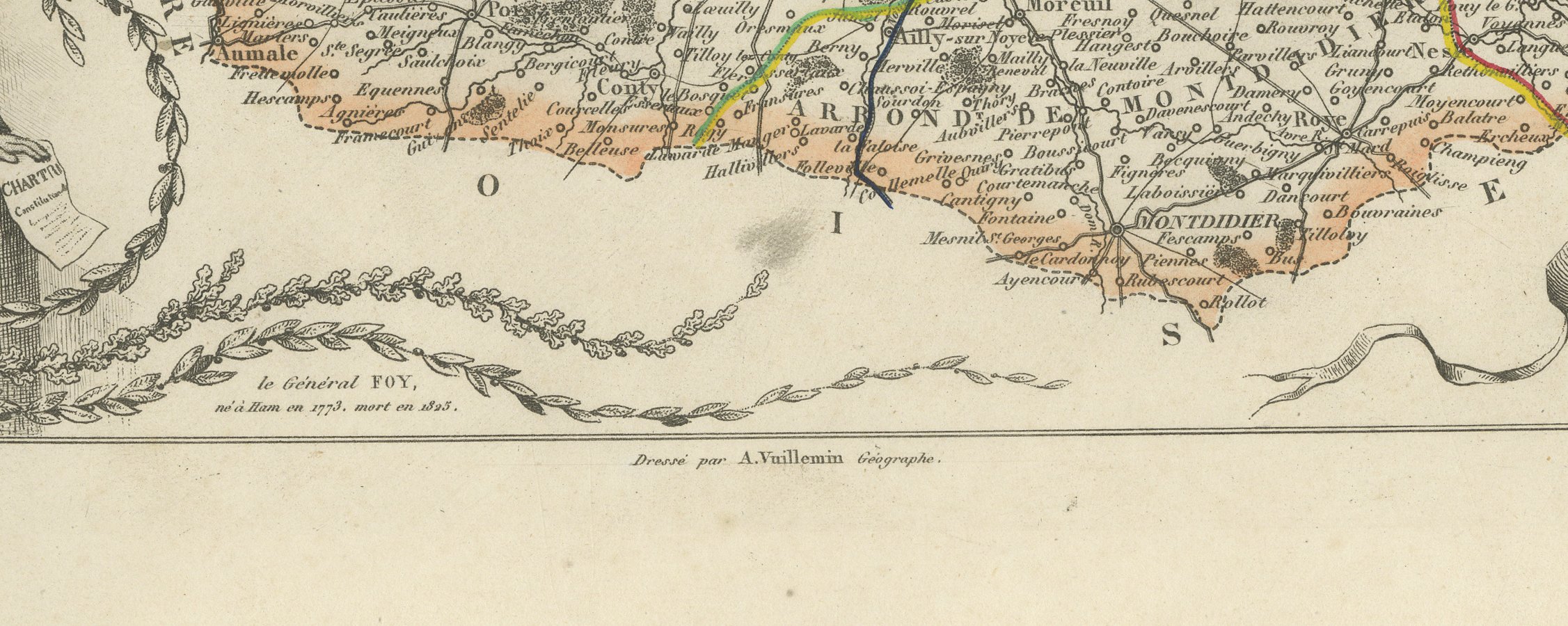
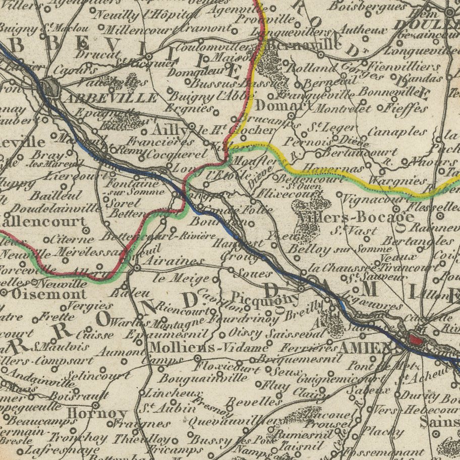
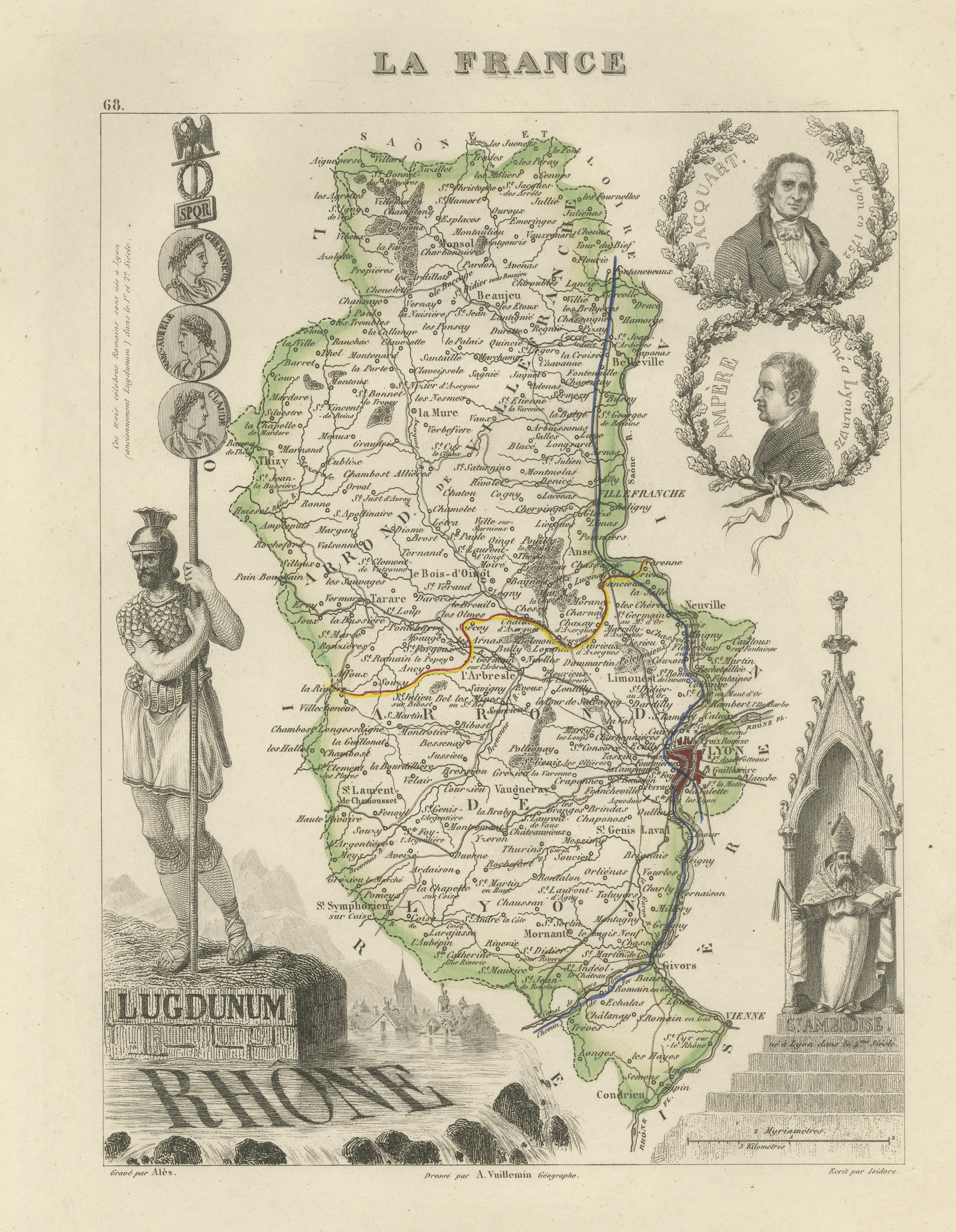
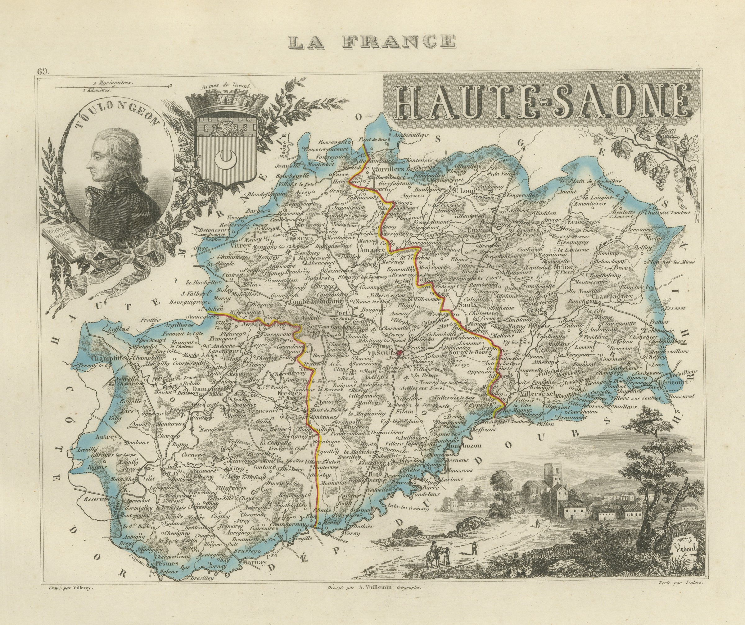
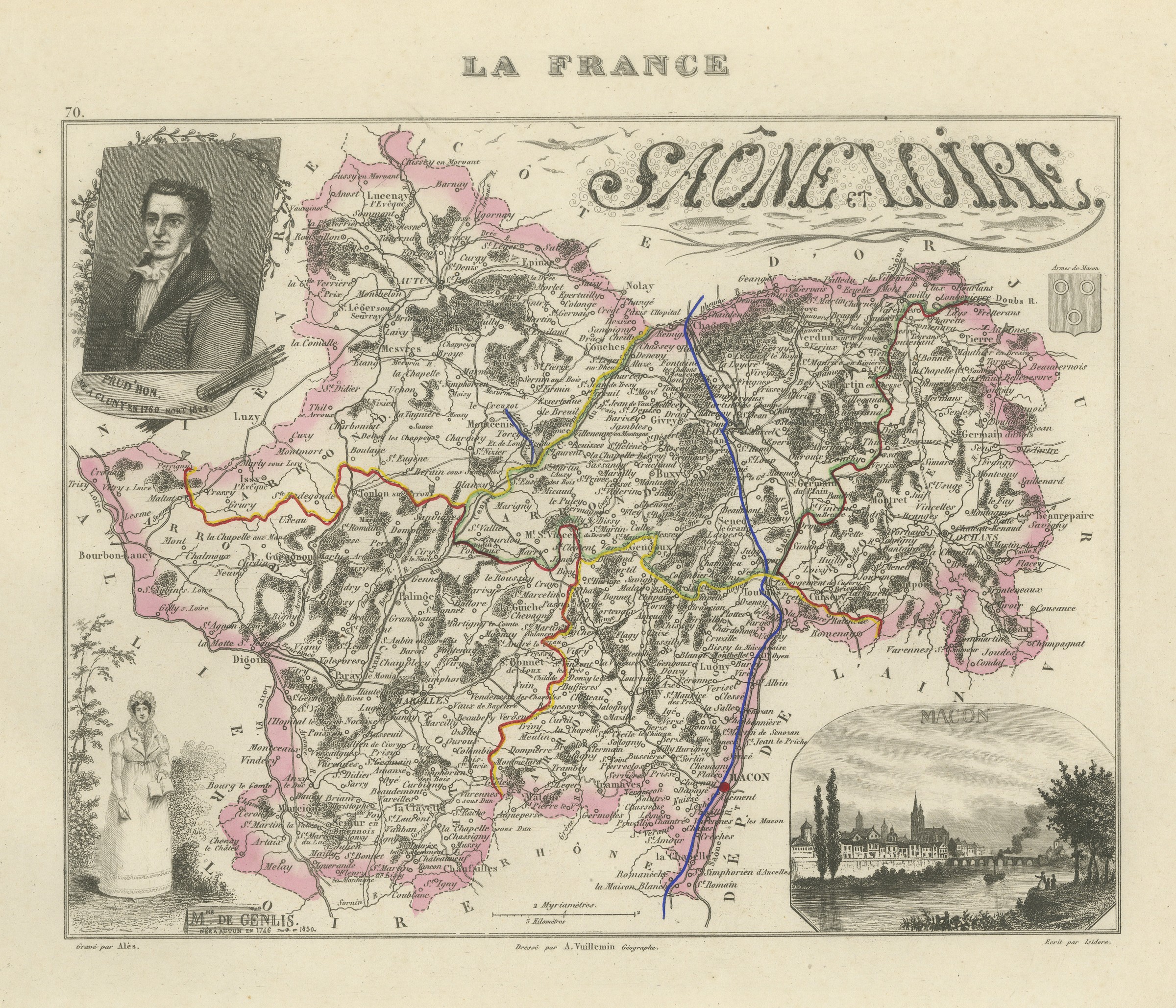
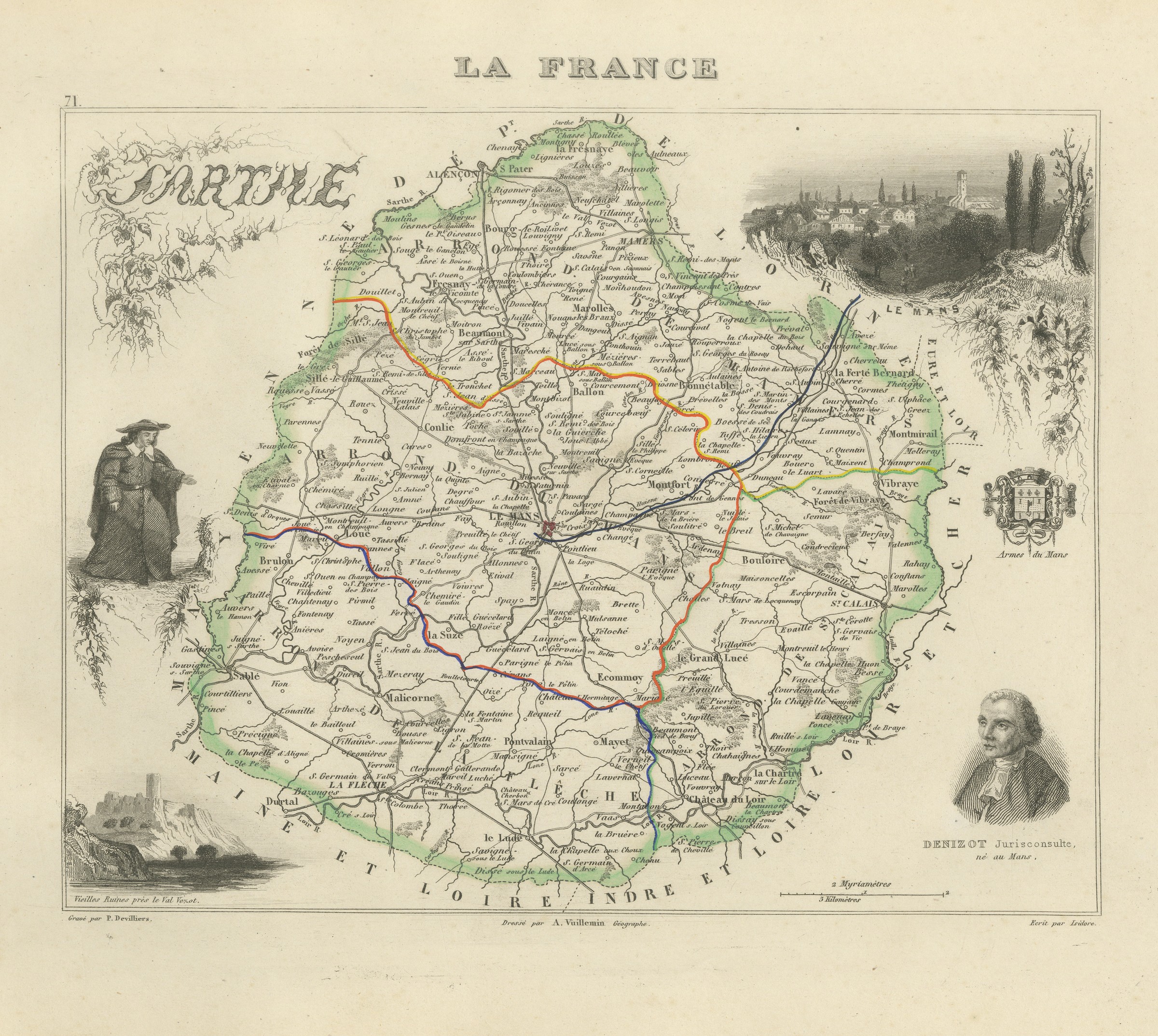
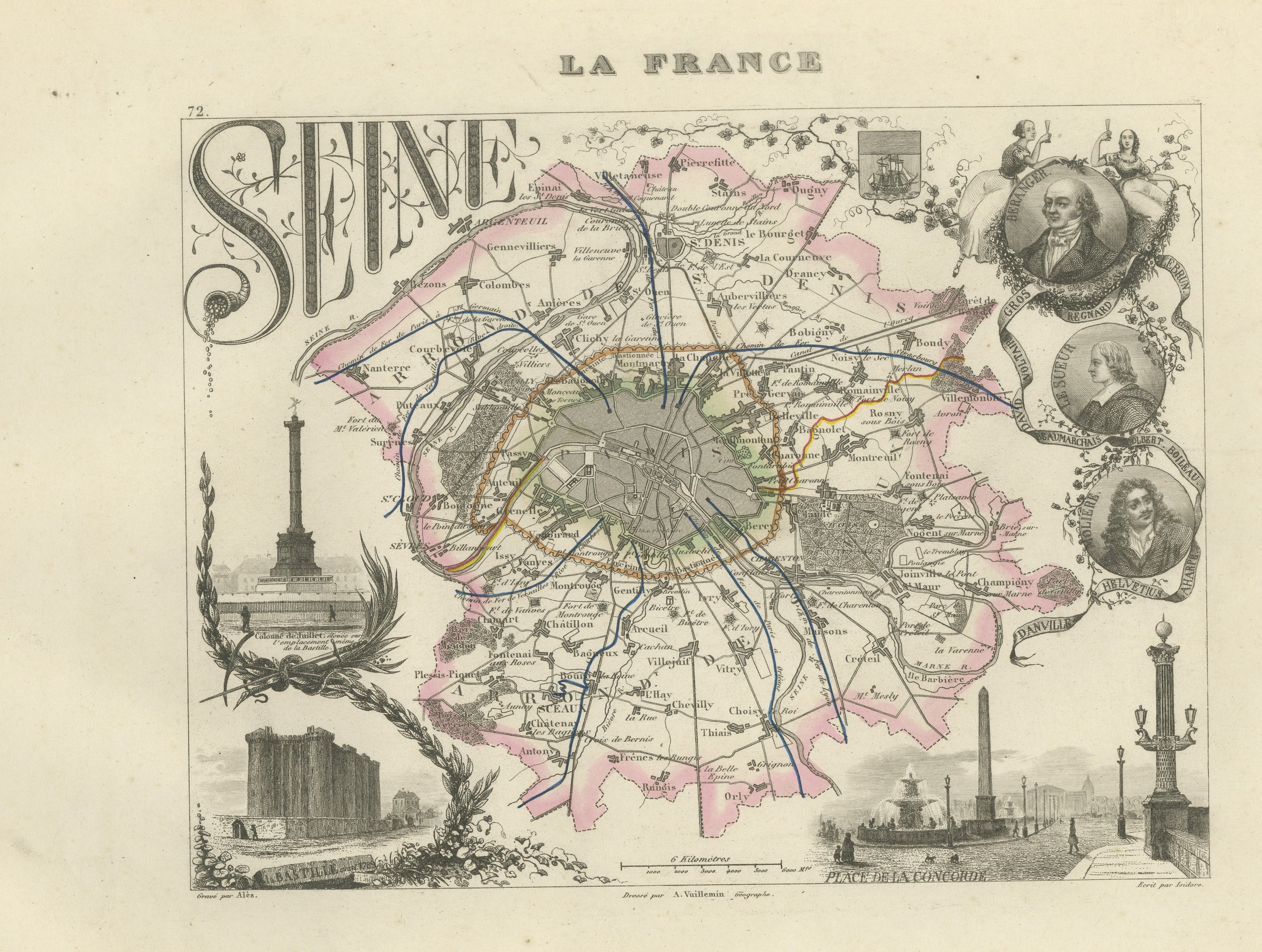
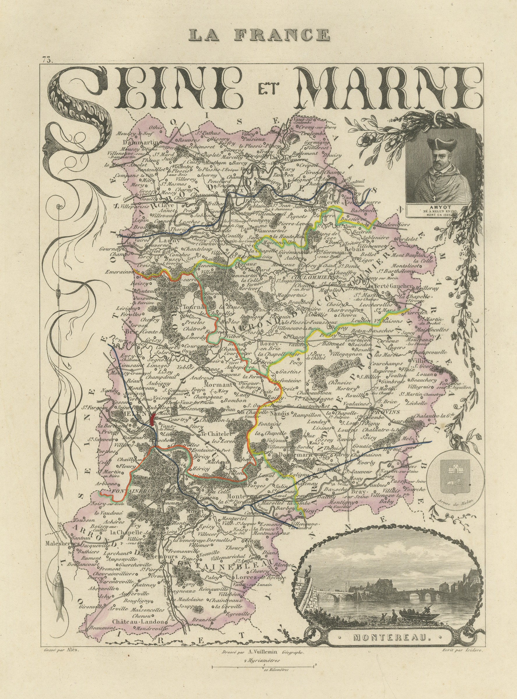
Antique Map of the Somme, Amiens and Abbeville, Vuillemin, circa 1860
€ 220
Original antique · The actual sheet photographed · Certificate of authenticity on request · Sold unframed · Worldwide shipping from € 15 (rates)
Date
circa 1860
Mapmaker / artist
A. Vuillemin
Publisher
Migeon, Paris
Technique
Steel Engraving
Colouring
Original hand colour
Condition
Good
Reference
BG-13331-77
Condition
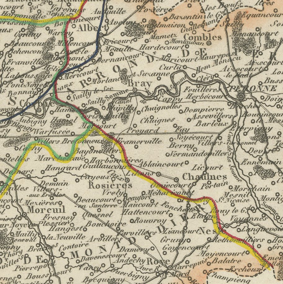
Good condition for its age. Light toning and a few small spots to the margins, with faint soiling in the upper left margin. The image is clean. Please review the images for further condition details.
About this sheet
An antique map of the department of the Somme, in the old province of Picardy, drawn by Alexandre Vuillemin and published in Paris by Migeon around 1860. The map carries Amiens, the chef-lieu and cathedral city, with Abbeville, Peronne, Doullens and Montdidier, the river Somme running west across the department to its estuary at Saint-Valery, and the chalk farmland of Picardy reaching to the coast between the bays of the Somme and the Authie. The name of this department is known to readers everywhere for the battles fought along the river in 1916, more than half a century after this plate was engraved, and that association is one reason a map of the Somme is sought out today; the map itself belongs entirely to the peaceful agricultural department of the Second Empire and shows nothing of the later war. The sheet is a steel engraving with original hand colour, in the decorative departmental format described below. An antique map of the Somme is a thoughtful piece for anyone with a family or historical connection to Picardy.
La France, Nouvel Atlas Illustre des Departements et des Colonies was drawn by Alexandre Vuillemin, ingenieur geographe, and published in Paris by Migeon at 9 rue de la Vieille Monnaie. Vuillemin built each sheet from the official surveys, the Cassini maps, the Depot de la Guerre, the Ponts et Chaussees and the charts of the Marine, and then framed the map with engraved vignettes: a portrait of a figure born in the department, a view of a monument or a ruin, a coat of arms. The result is part atlas and part popular encyclopaedia, and it remains one of the most decorative French departmental series of the nineteenth century.
The plates in this copy show France divided into eighty six departments and the county of Nice still outside the frontier, so the engraving was completed before the annexation of Savoy and Nice in 1860, although Migeon went on issuing the atlas for many years afterwards. The sheets suit a French interior particularly well, and a group of neighbouring departments hung together makes an attractive run.
The sheet is in good condition for its age, with light toning, a few small spots and faint soiling confined to the margins; the image itself is clean.
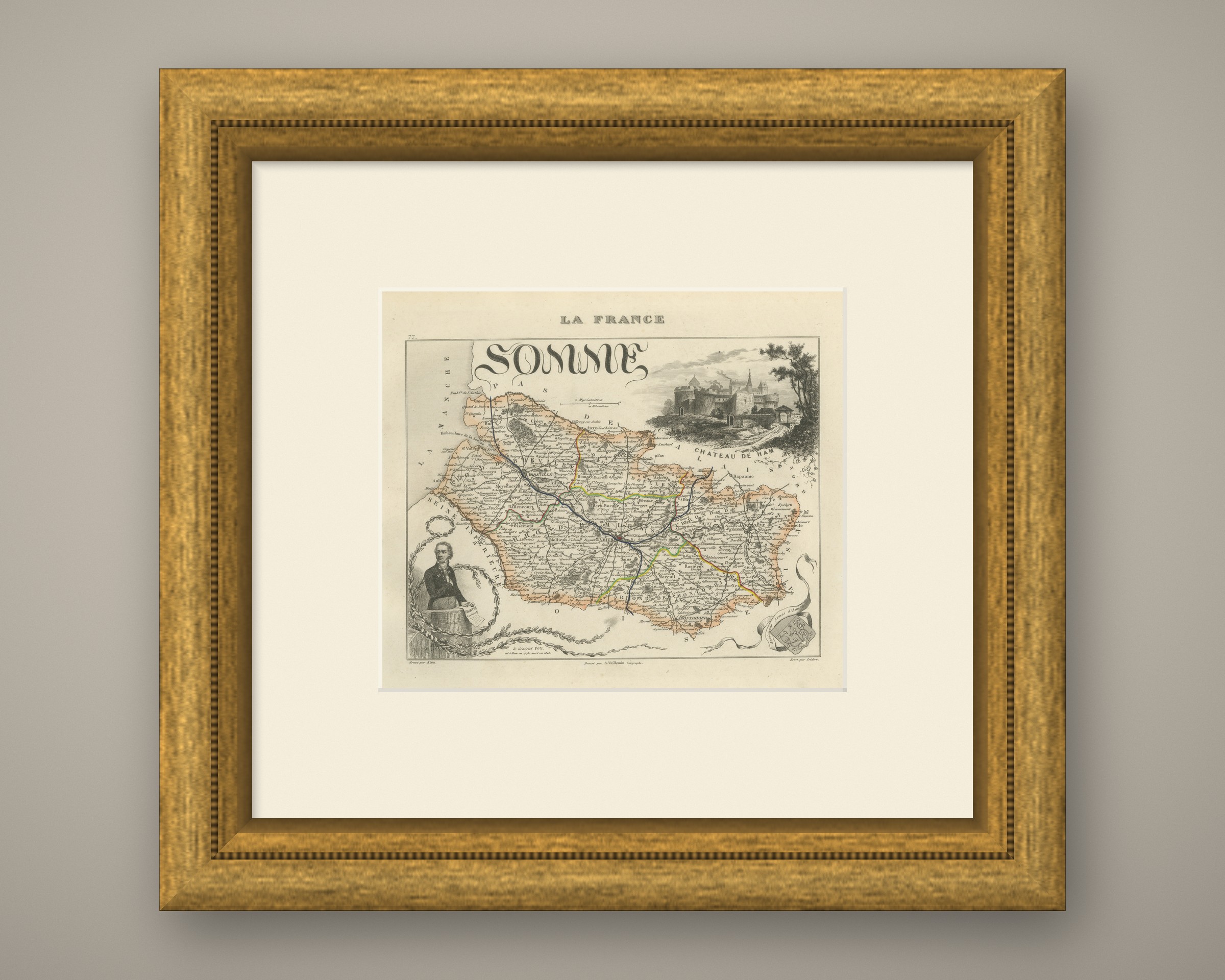
This is an original antique map, not a modern reproduction. This item is sold unframed. Any framed or interior images are shown for presentation and inspiration only, unless the listing explicitly states that the item is sold framed.