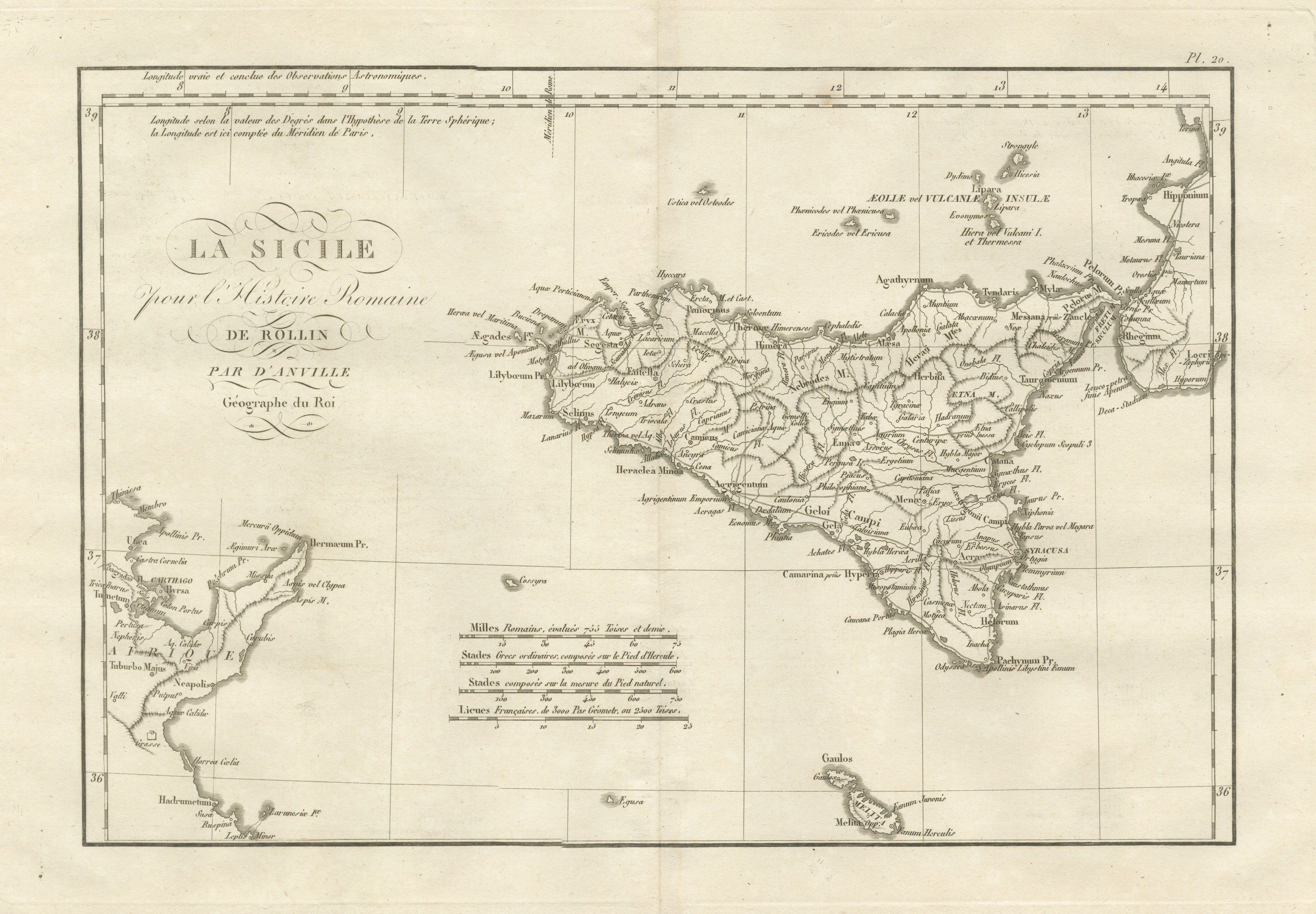
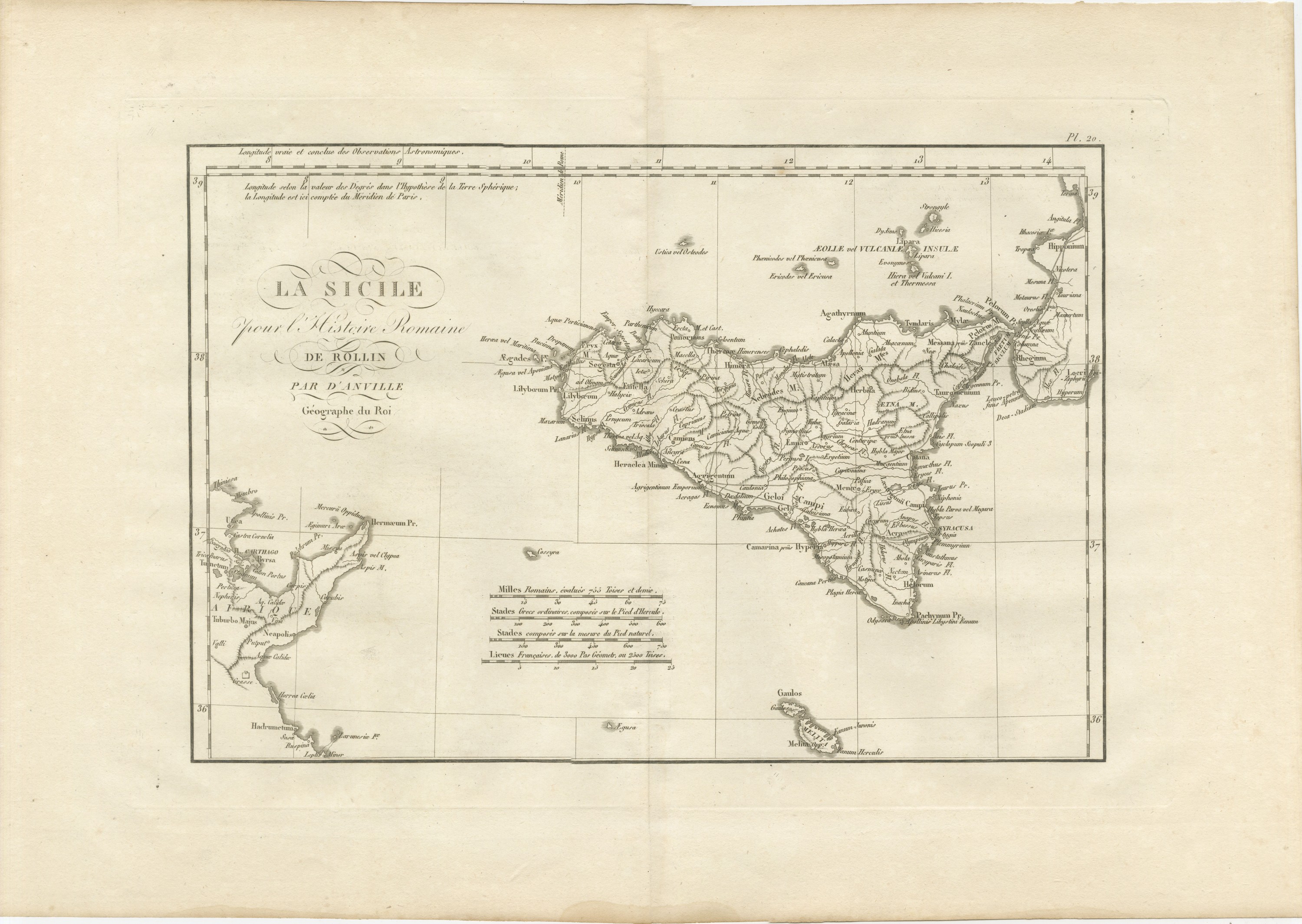
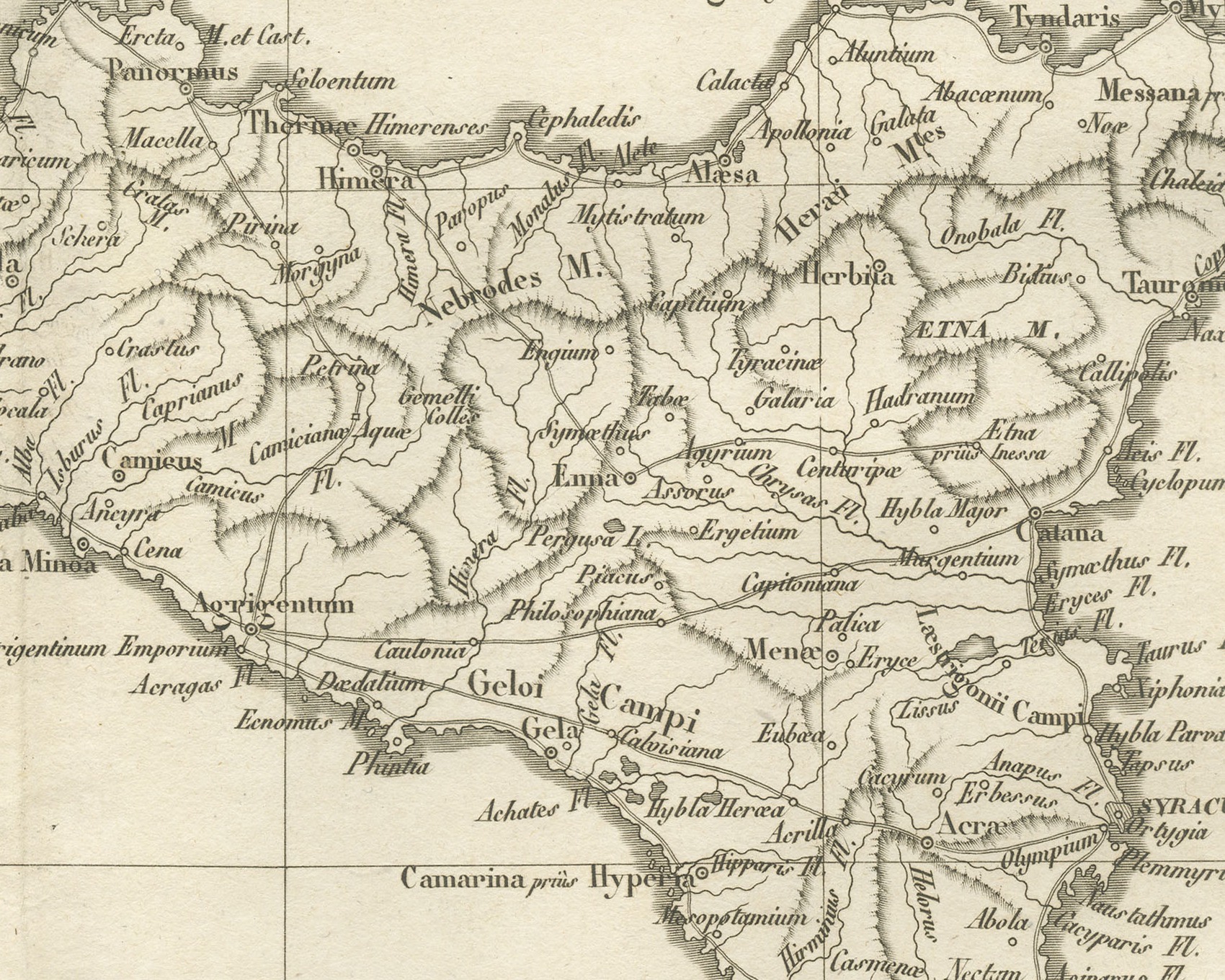
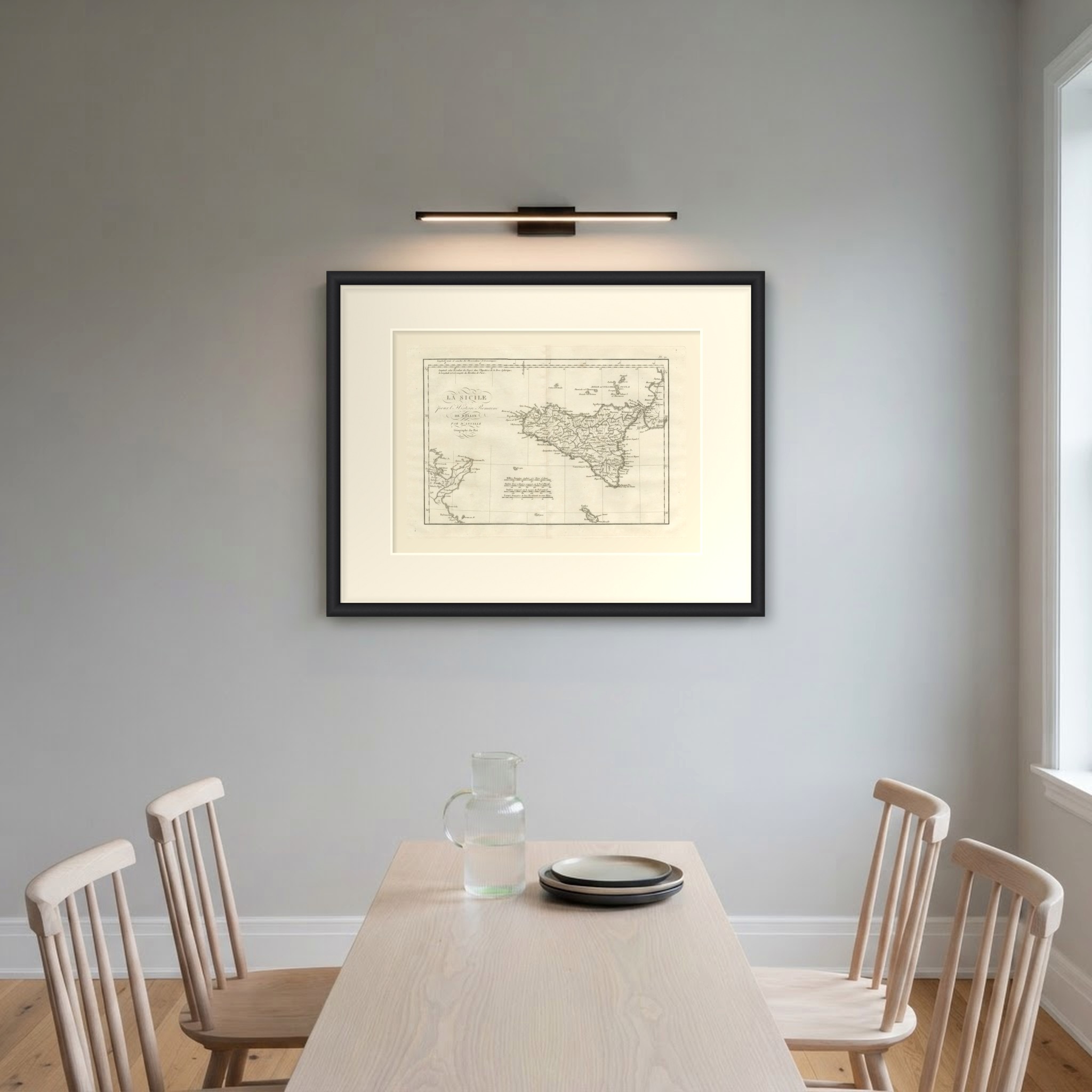
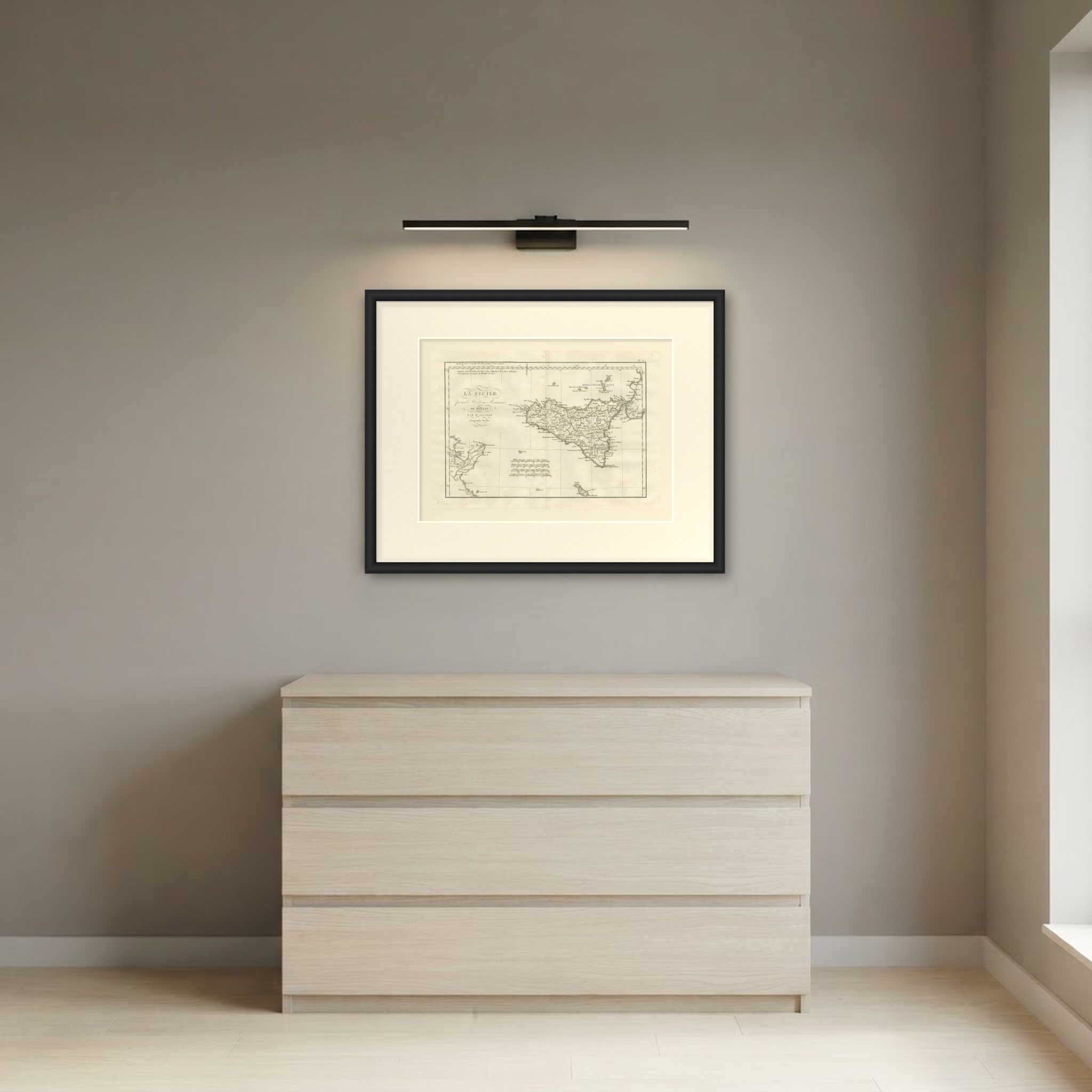
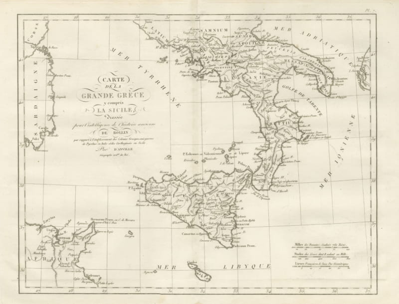
Ancient Sicily with Malta and the Carthage Coast, d'Anville, 1818
€ 285
Original antique · The actual sheet photographed · Certificate of authenticity on request · Sold unframed · Worldwide shipping from € 15 (rates)
Date
1818
Mapmaker / artist
Jean-Baptiste Bourguignon d'Anville, cartographer
Publisher
Ledoux et Tenré, Paris
Technique
Copper Engraving
Coloring
Uncolored
Condition
Good
Reference
BG-14399-20
What the condition grades mean
Excellent
Bright and clean, with no faults worth mentioning.
Very good
Only light signs of age, such as faint toning.
Good
Normal signs of age for a sheet of this period: toning, some foxing, small marks or neat old repairs.
Fair
Clear faults such as staining, tears or repairs, priced to match.
Every fault we see is written in the condition note, and the whole sheet is shown uncropped in the photos.
Condition
Light uneven toning, browner toward the edges. Marked handling soiling along the bottom, right and top edges. Foxing over much of the margin. Slight wear at the top right corner. Minor edge wear, shallow nicks along the right. Center fold as issued.
About this sheet
An original copper engraved map, uncolored, of ancient Sicily, with the toe of Italy at upper right, the African coast around Carthage at lower left and the Maltese islands at the foot. Syracusa with Ortygia, Agrigentum, Lilybaeum, Selinus, Segesta, Himera, Tyndaris, Messana prius Zancle, Tauromenium, Catana and Helorum ring the island, with Ætna M. inland and Pachynum Pr. at the southeast point. The Fretum Siculum separates Sicily from Rhegium, and the islands to the north are lettered Æoliæ vel Vulcaniæ Insulæ, with Lipara and Strongyle. In Africa Carthago with Byrsa, Utica, Neapolis and Hadrumetum are placed; Malta is lettered Melita, with Gaulos, Fanum Junonis and Fanum Herculis.
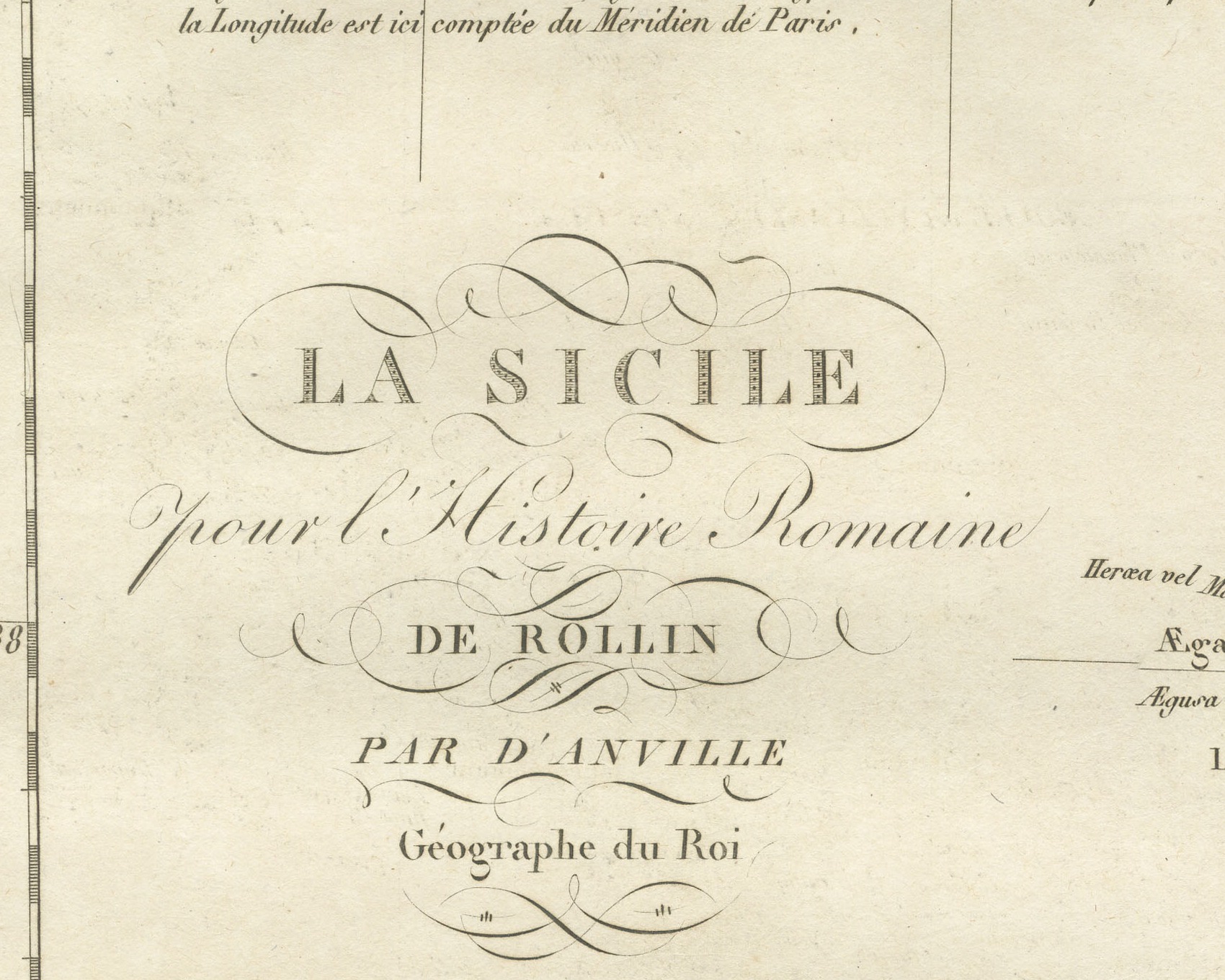
The cartouche at upper left reads La Sicile / pour l'Histoire Romaine / de Rollin / par d'Anville / Géographe du Roi. The plate number Pl. 20 is engraved above the upper right corner of the neatline. Two lines across the top explain the longitude: Longitude vraie et conclue des Observations Astronomiques and Longitude selon la valeur des Degrés dans l'Hypothèse de la Terre Sphérique; la Longitude est ici comptée du Méridien de Paris. Four scale bars sit in the sea south of the island: Milles Romains, évalués 755 Toises et demie, Stades Grecs ordinaires, composés sur le Pied d'Hercule, Stades composés sur la mesure du Pied naturel and Lieues Françaises, de 3000 Pas Géometr. ou 2500 Toises.
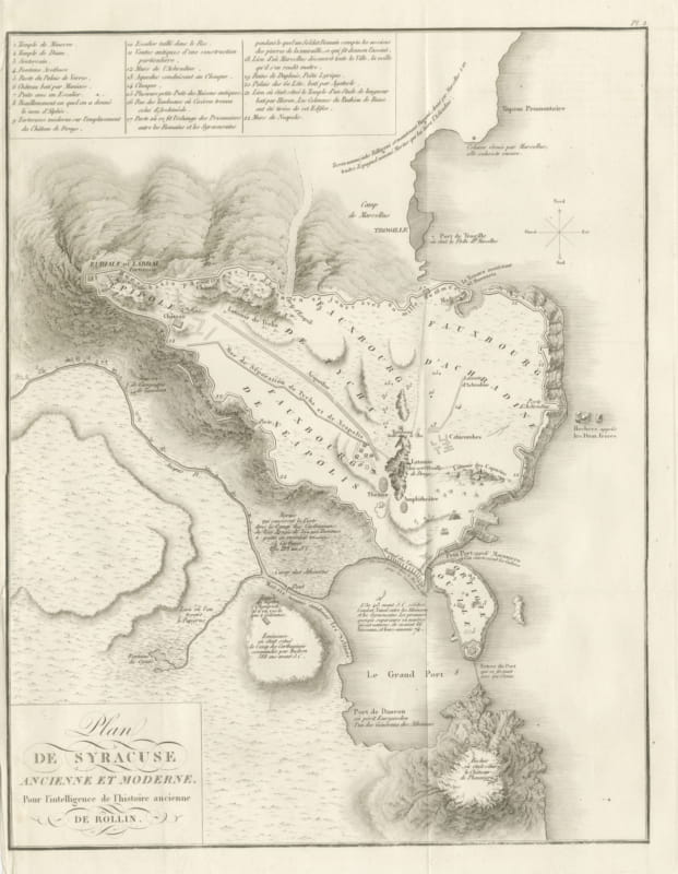
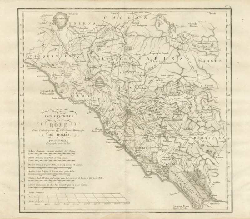
The plate belongs to the Atlas de Géographie Ancienne, published in Paris in 1818 by Ledoux et Tenré and printed by Didot le jeune to accompany the works of Charles Rollin (1661 to 1741), author of the Histoire ancienne and the Histoire romaine. Its maps were engraved after the originals of Jean-Baptiste Bourguignon d'Anville (1697 to 1782). In the signed foreword Ambroise Tardieu, géographe-graveur, states that the maps were copied with religious fidelity and that, charged with revising the proofs, he had only to correct negligences and faults of execution.
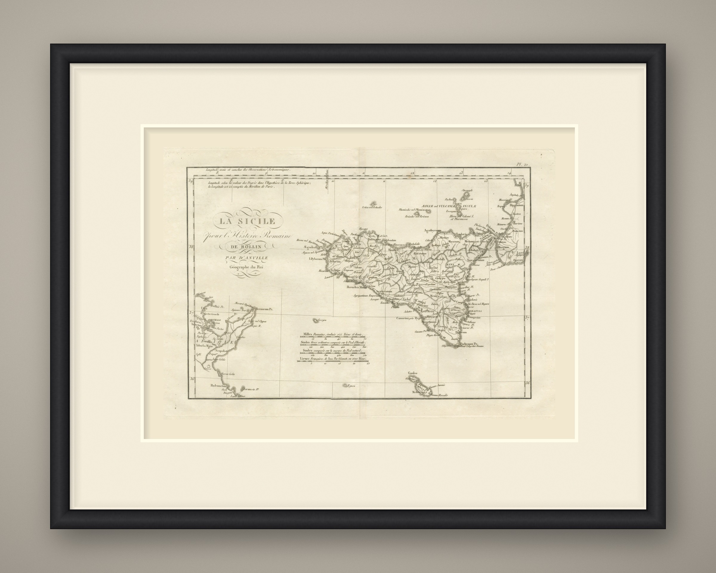
This is an original antique map, not a modern reproduction. This item is sold unframed. Any framed or interior images are shown for presentation and inspiration only, unless the listing explicitly states that the item is sold framed.