Antique Map of England and Wales with Railways and Canals, 1858
€ 180
Original antique · The actual sheet photographed · Certificate of authenticity on request · Sold unframed · Worldwide shipping from € 15 (rates)
Date
1858
Mapmaker / artist
Society for the Diffusion of Useful Knowledge
Publisher
Edward Stanford, London
Technique
Steel engraving
Coloring
Hand colored
Condition
Good
Reference
BG-14227-1-4
What the condition grades mean
Excellent
Bright and clean, with no faults worth mentioning.
Very good
Only light signs of age, such as faint toning.
Good
Normal signs of age for a sheet of this period: toning, some foxing, small marks or neat old repairs.
Fair
Clear faults such as staining, tears or repairs, priced to match.
Every fault we see is written in the condition note, and the whole sheet is shown uncropped in the photos.
Condition
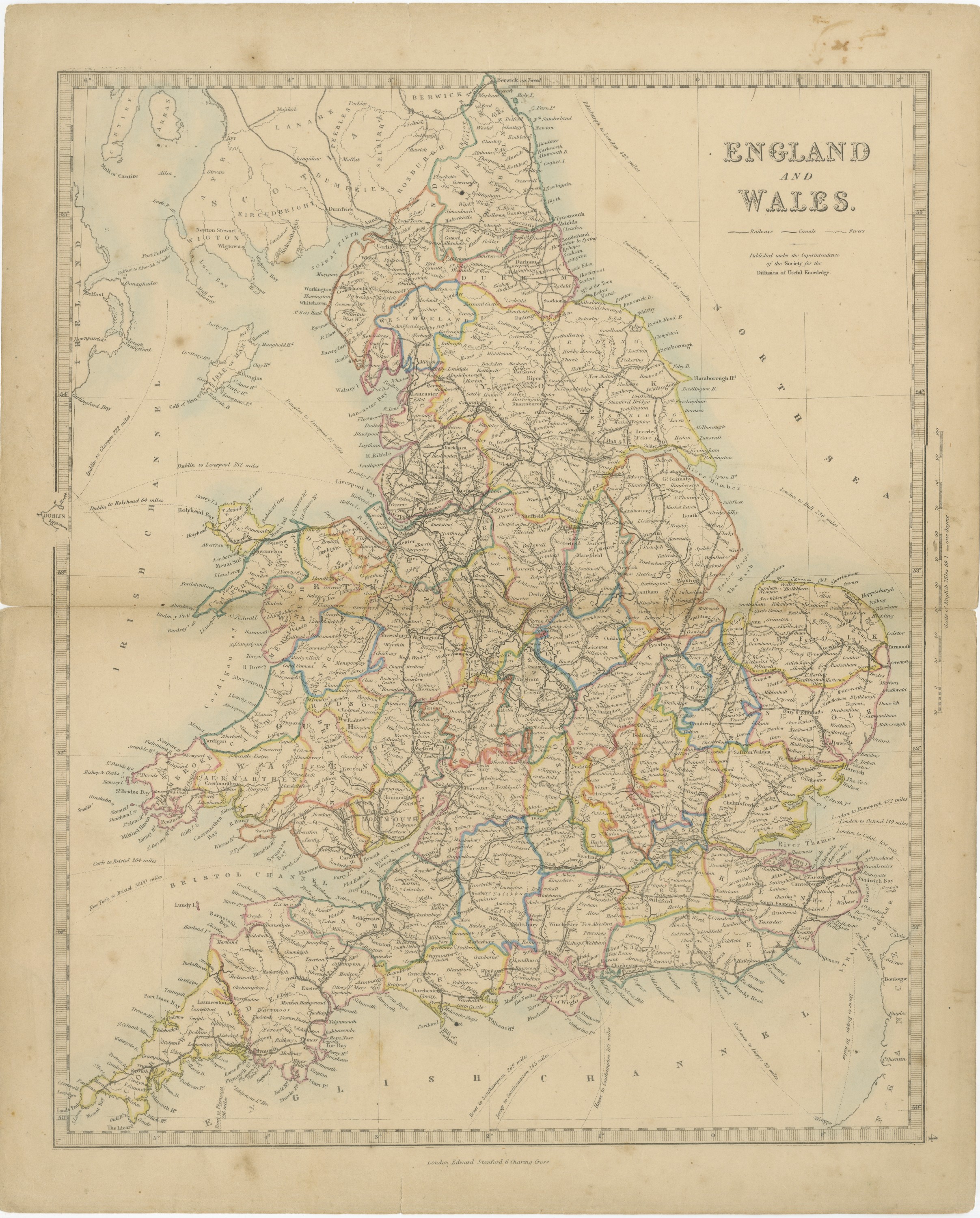
Complete sheet with minor nicks along the left edge, one at the center fold. A center fold, as issued. Light, uneven toning, slightly darker toward the edges. A few small foxing spots in the margin. A small light fleck in the printed area.
About this sheet
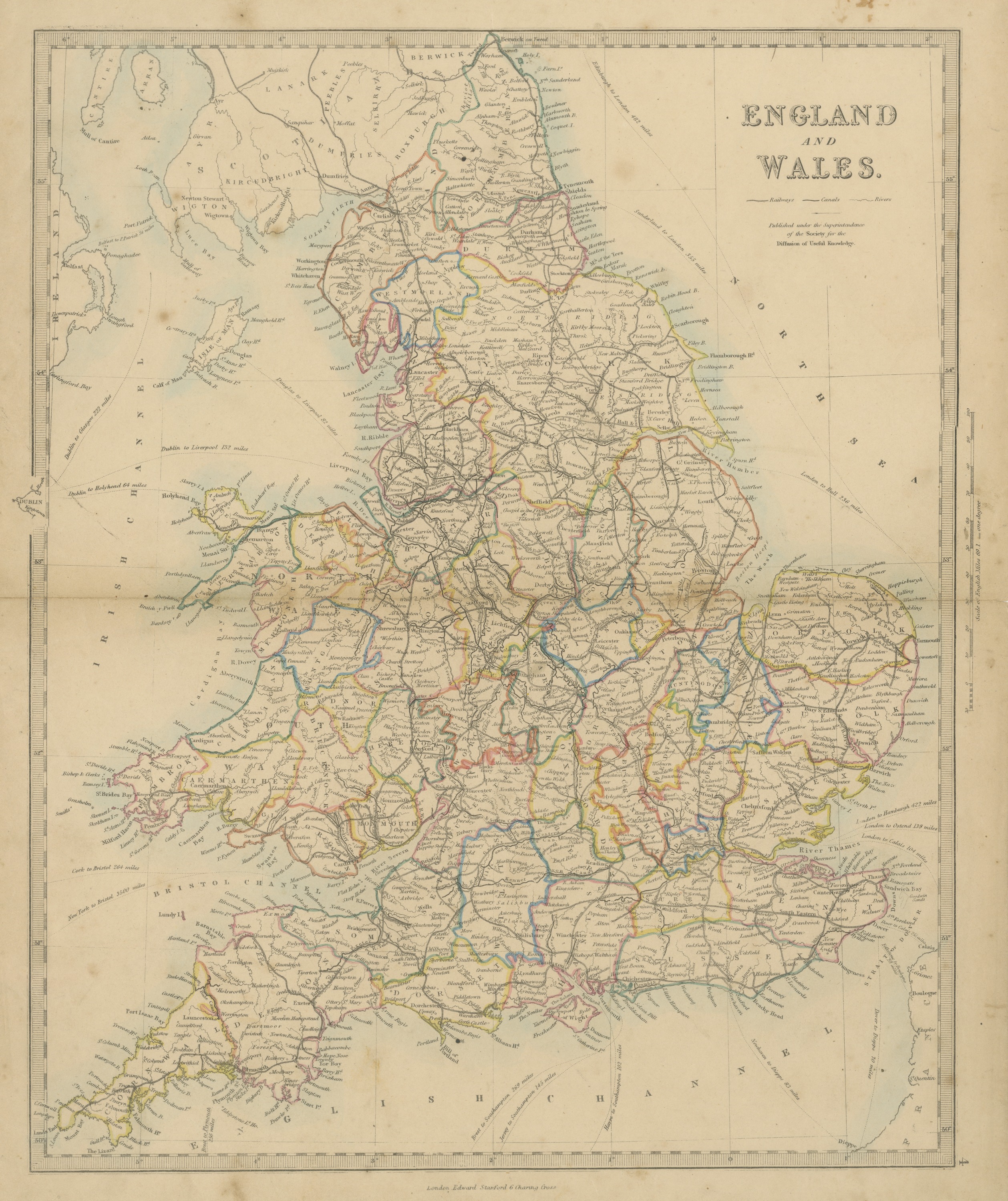
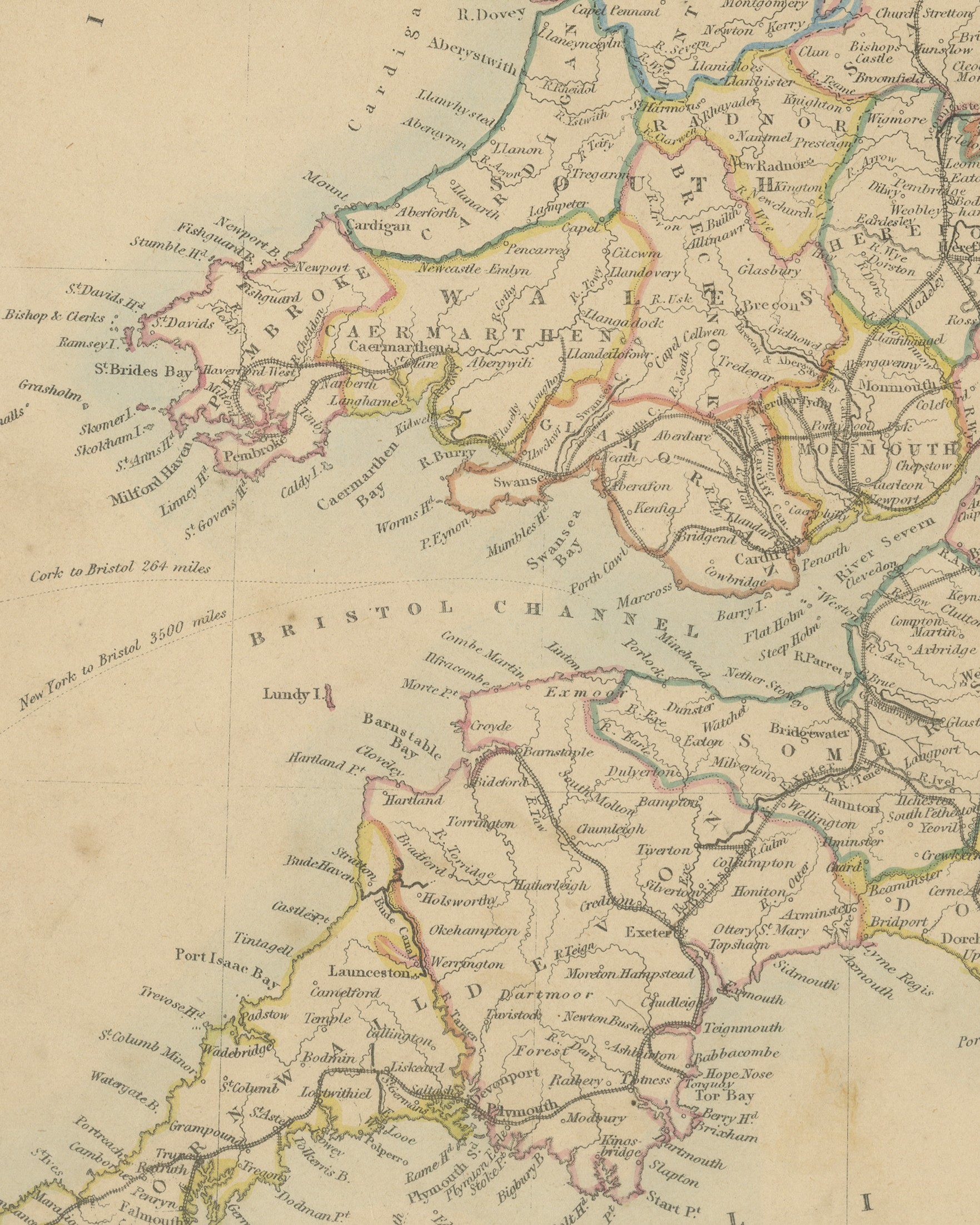
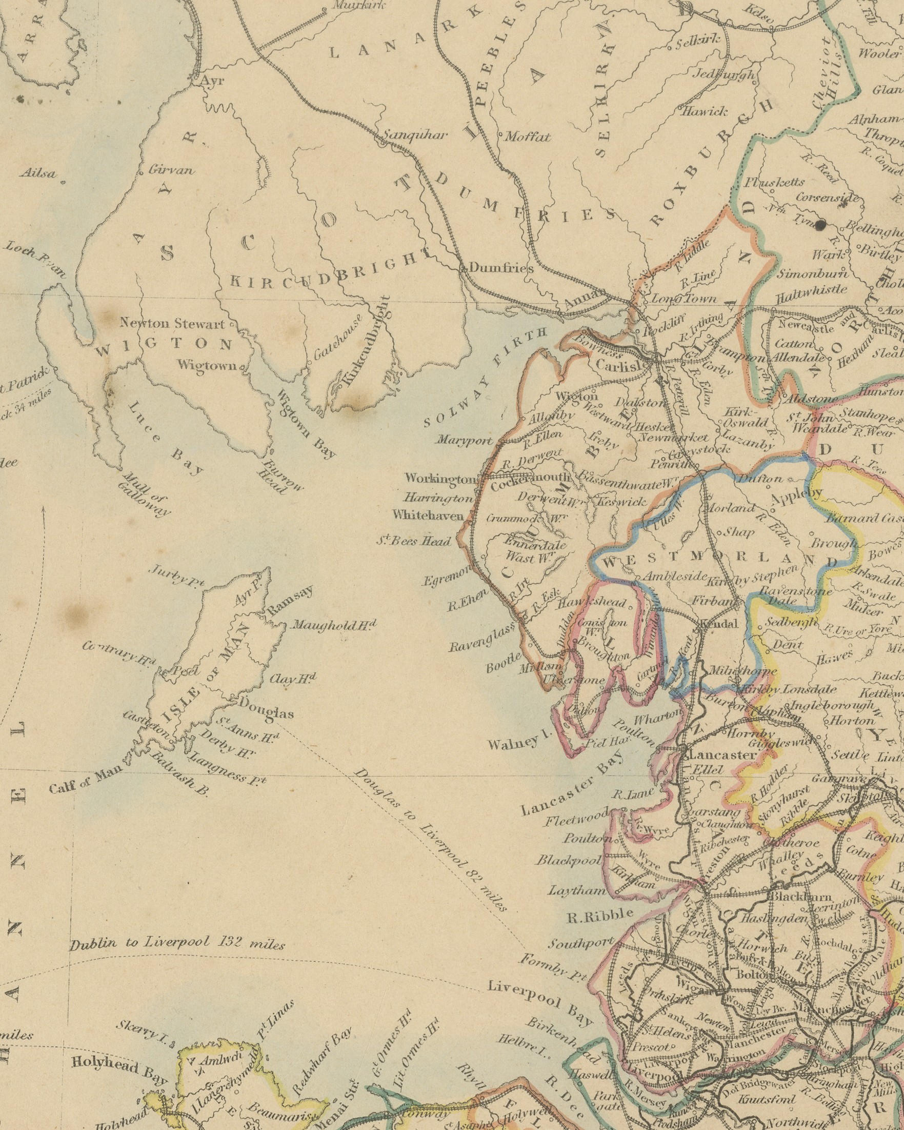
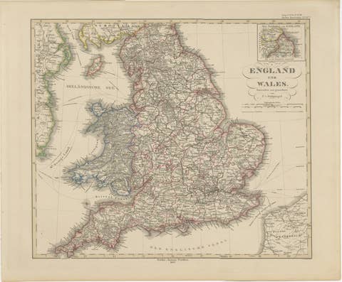
Original antique map of England and Wales, a steel engraving colored by hand, with the counties outlined in color and a pale blue wash along the coasts, lettered "ENGLAND AND WALES." in the title at the upper right. The map shows the counties of England and Wales with their towns, rivers, railways and canals, together with the south of Scotland, the Isle of Man, the east coast of Ireland around Dublin and Belfast, and the French coast from Dieppe northward. Dublin is drawn on a small piece of coast that projects beyond the left border.
Below the title is a key: "Railways", "Canals" and "Rivers", followed by "Published under the Superintendence of the Society for the Diffusion of Useful Knowledge." Dotted sea routes are lettered with their distances, such as "Dublin to Holyhead 64 miles", "Dublin to Liverpool 132 miles" and "Edinburgh to London 482 miles". In the right margin is a "Scale of English Miles 69.1 = one degree". The imprint below the border reads "London, Edward Stanford 6 Charing Cross" and the plate number "4" is engraved at the lower right.
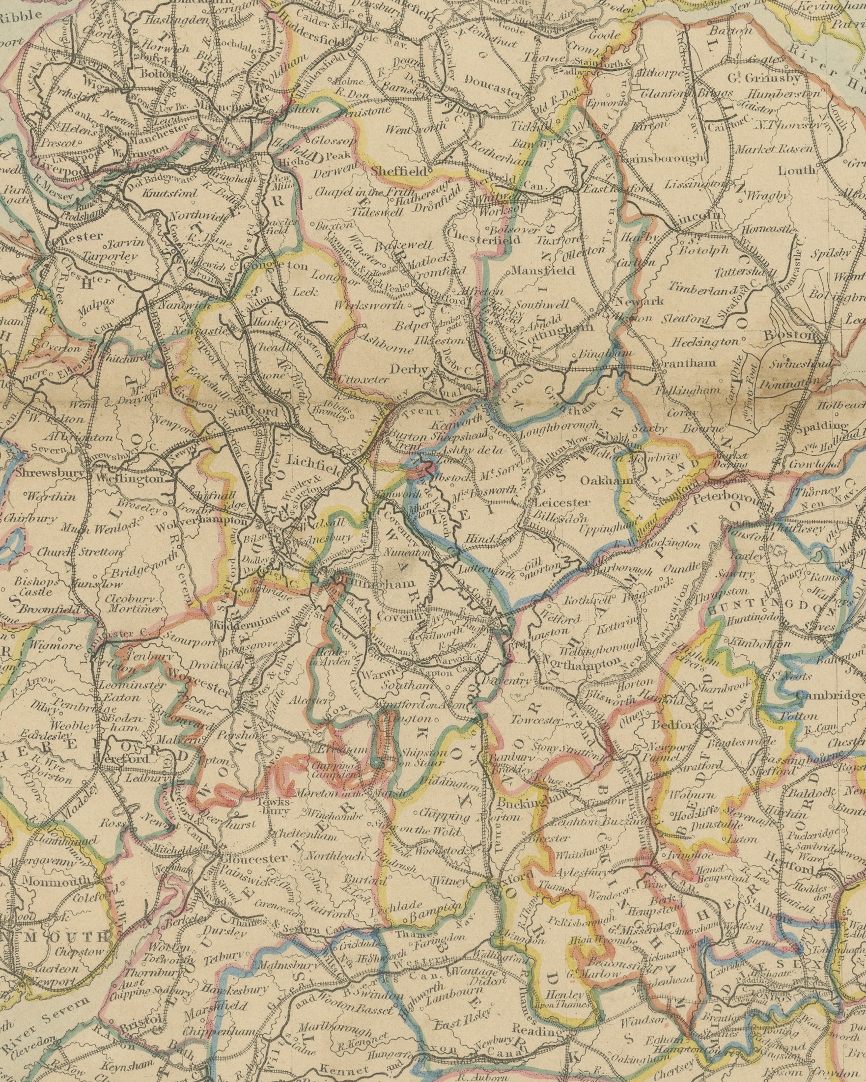
The map comes from The Harrow Atlas of Modern Geography, published in London in 1858 by Edward Stanford of 6 Charing Cross and sold at Harrow by Crossley and Clarke, booksellers to Harrow School. Its maps were selected from those of the Society for the Diffusion of Useful Knowledge (SDUK), founded in London in 1826, which issued its map series in parts from 1829 and was wound up in 1848; Stanford later issued the maps under his own imprint. The railway network engraved on the sheet is dense across Lancashire, Yorkshire and the Midlands, while the canal network that preceded it is shown alongside, with named waterways such as the Huddersfield Canal and the Aire and Calder Navigation lettered on the map.
The clear county coloring makes this an attractive sheet for anyone with roots in a particular English or Welsh county.
Condition: Complete sheet with minor nicks along the left edge, one at the center fold. A center fold, as issued. Light, uneven toning, slightly darker toward the edges. A few small foxing spots in the margin. A small light fleck in the printed area.
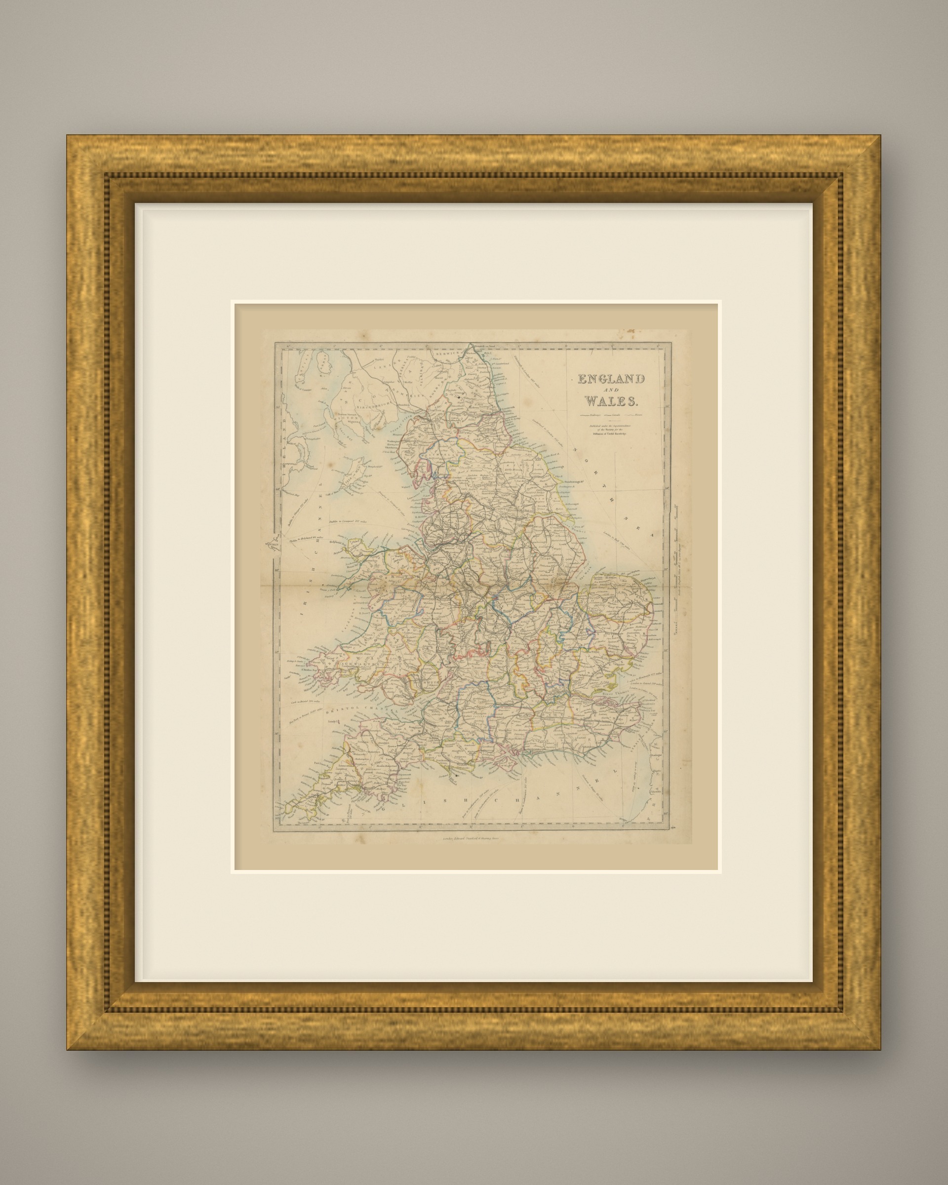
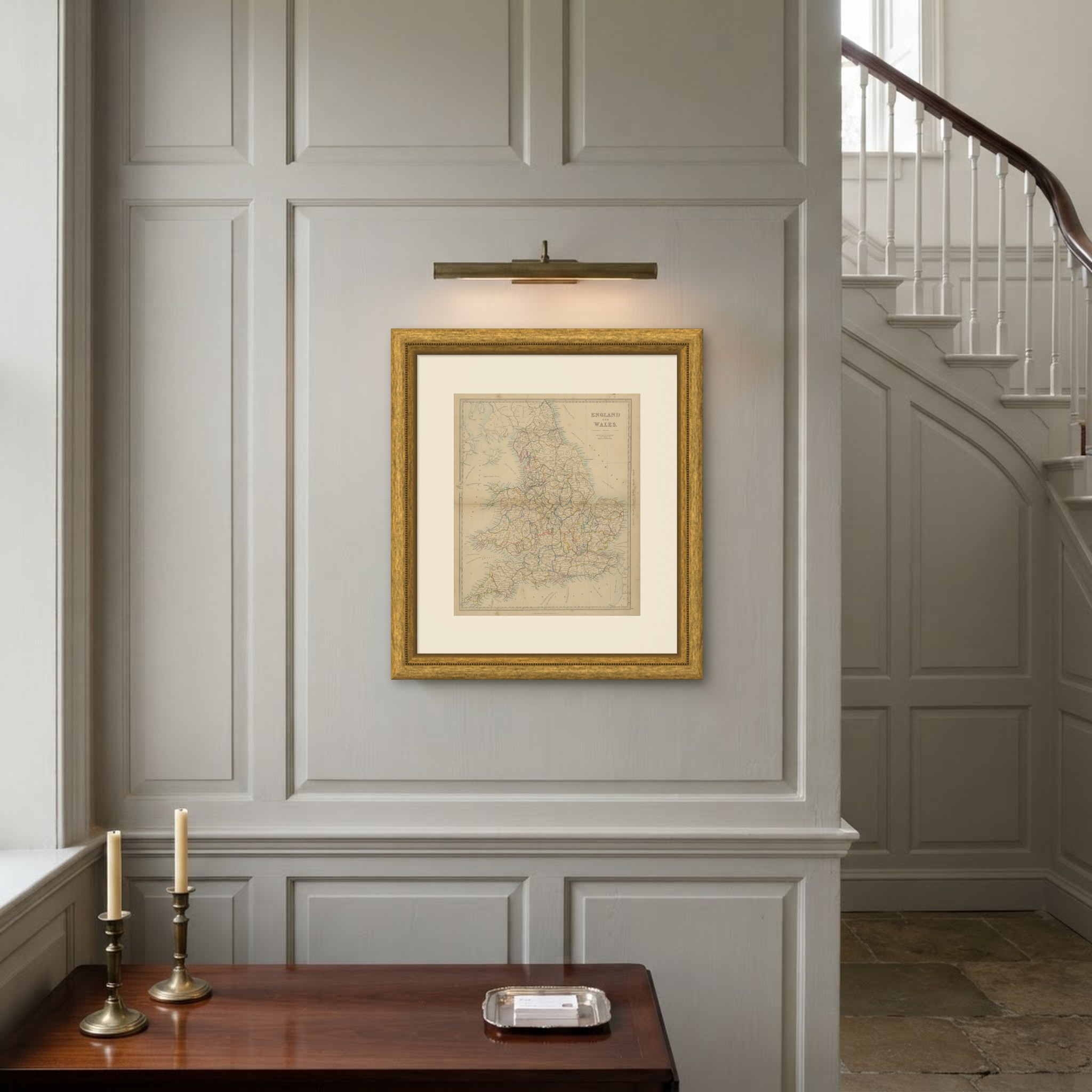
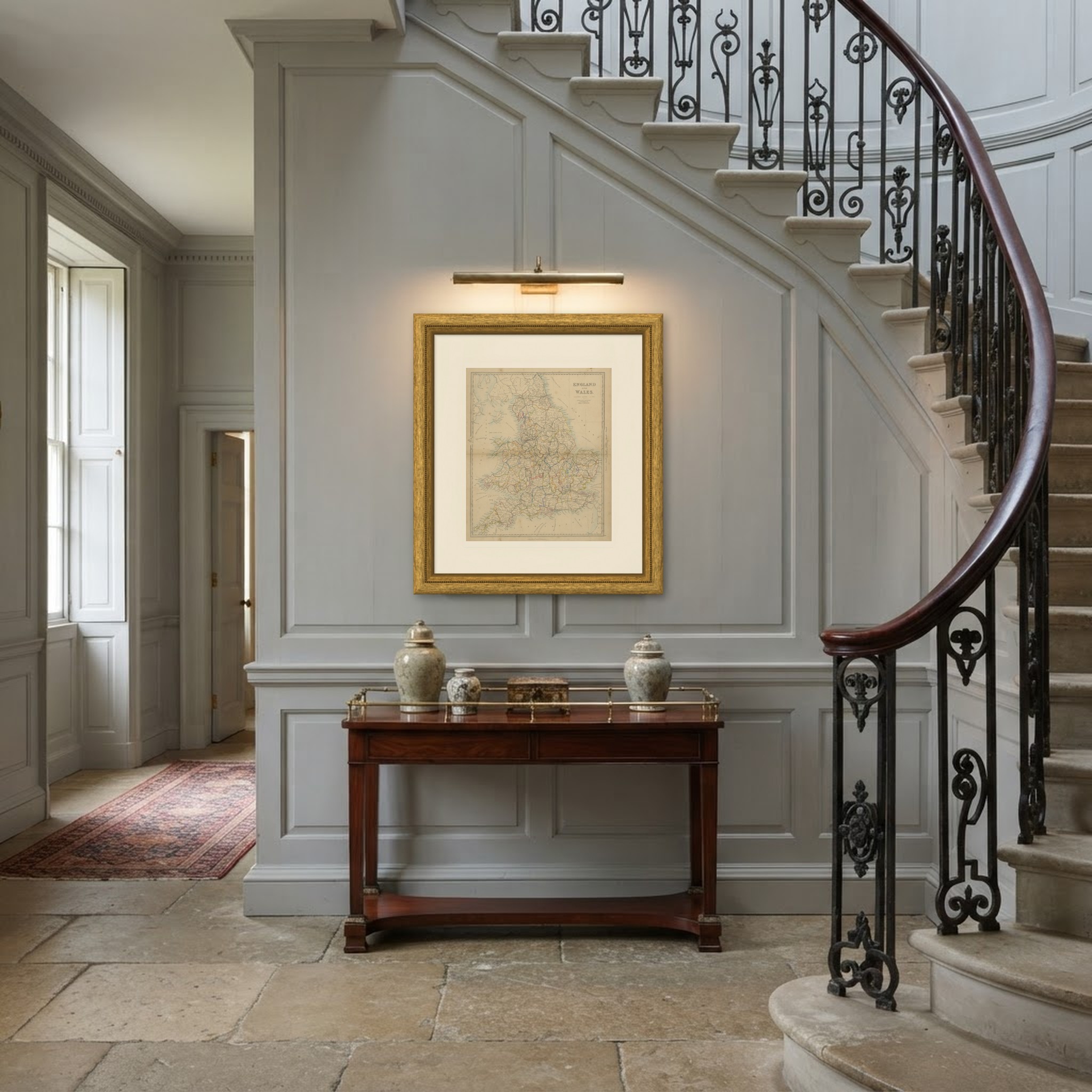
This is an original antique map, not a modern reproduction. This item is sold unframed. Any framed or interior images are shown for presentation and inspiration only, unless the listing explicitly states that the item is sold framed.