
Maps & PrintsBartele Gallery · Langweer
Home / Antique Maps / Europe / Western Europe / France

France · 19th century

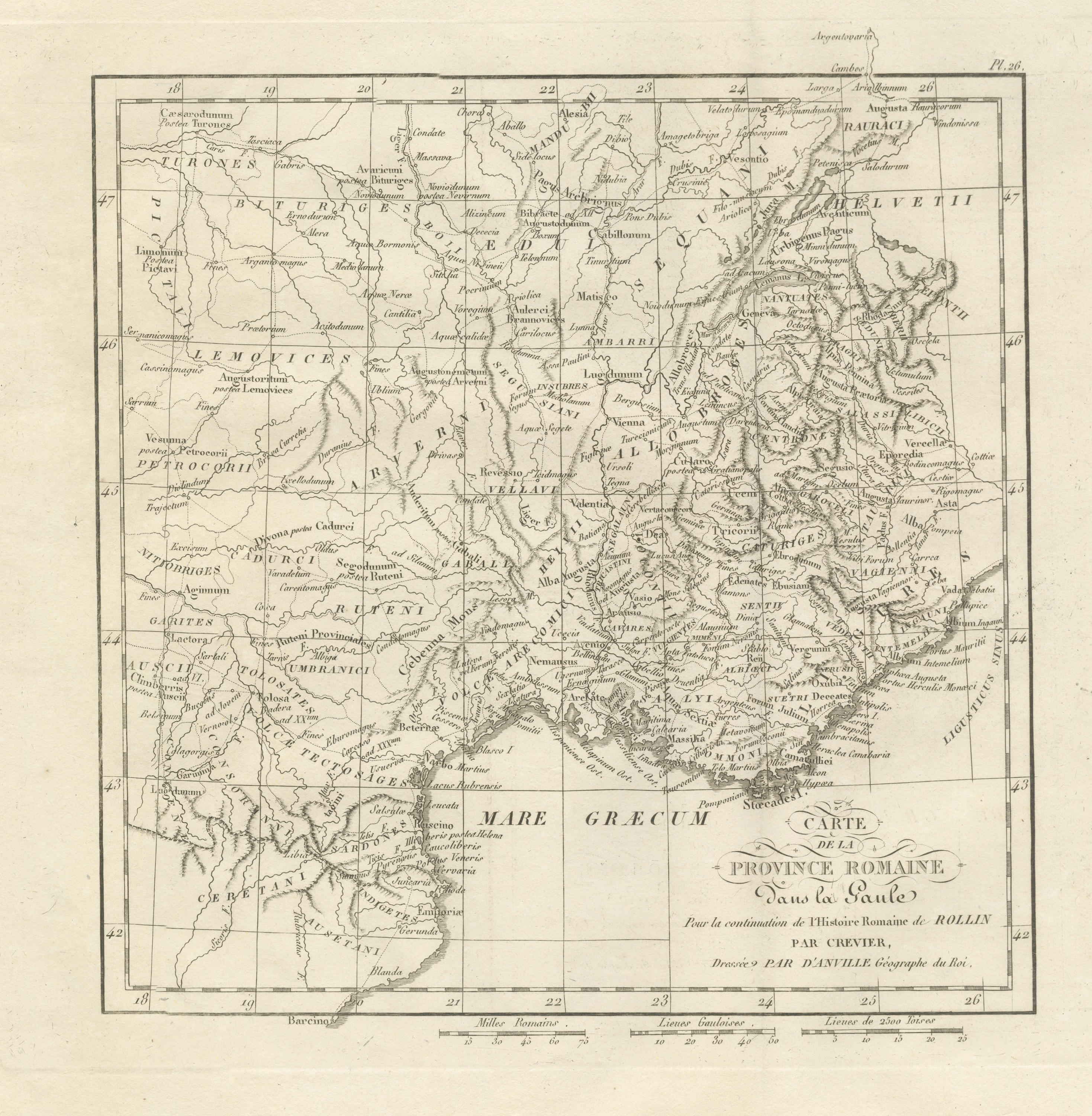
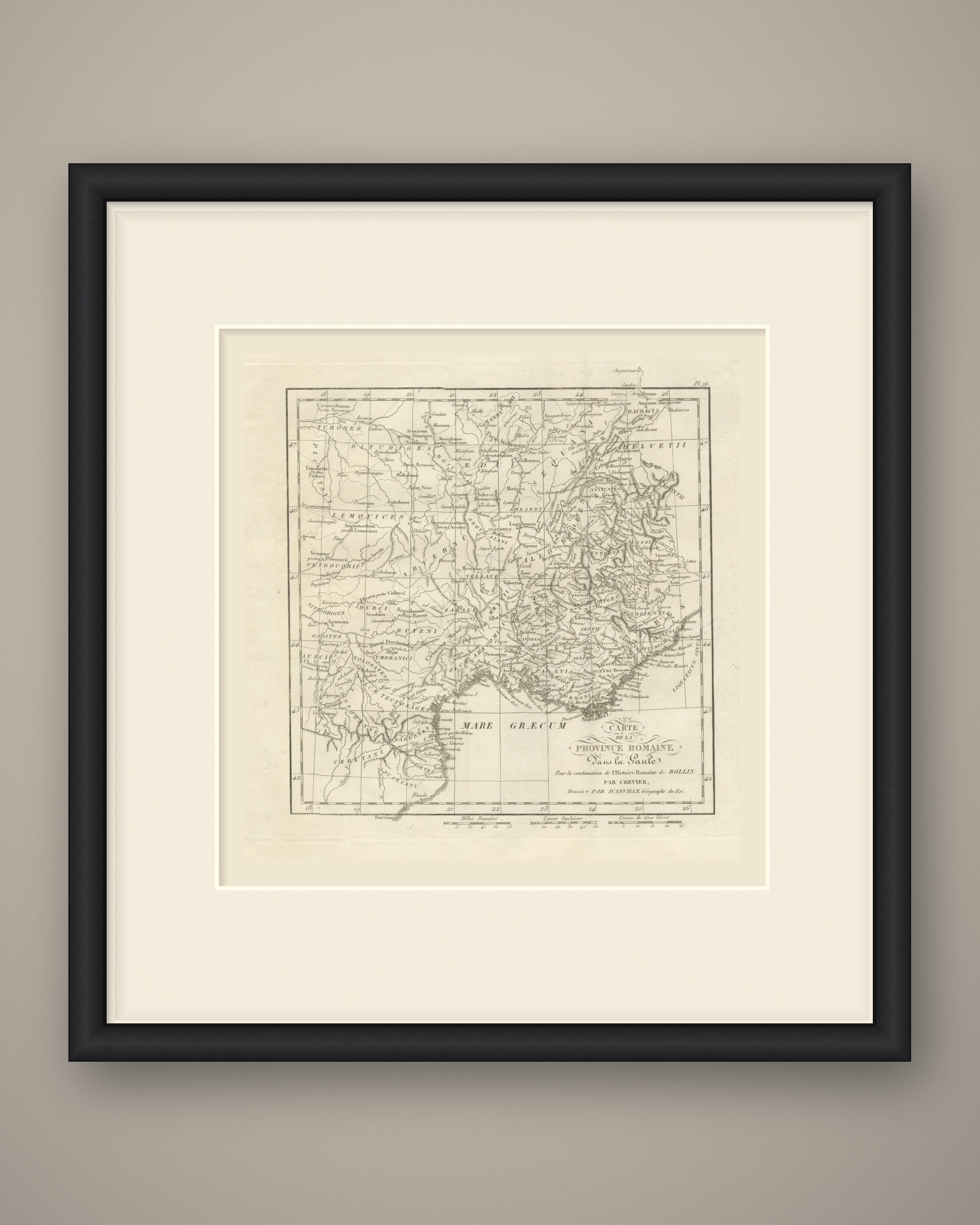
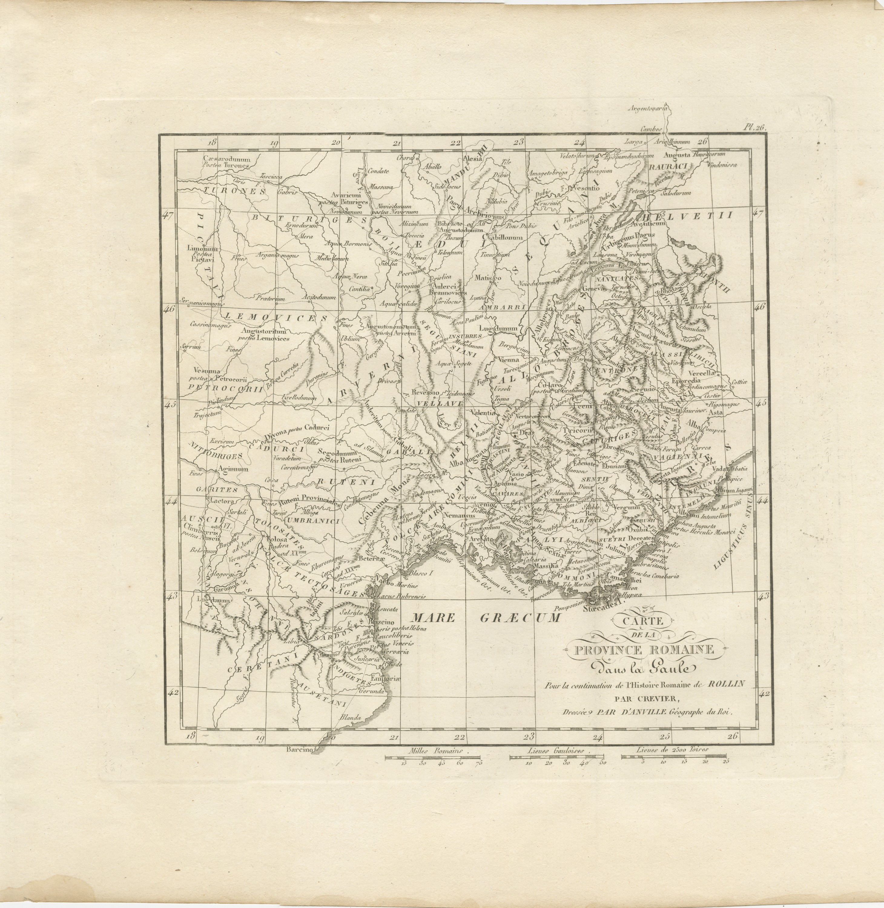
Roman Province in Gaul, Provence and the Alps, d'Anville for Crevier, 1818

€ 245

Original antique · The actual sheet photographed · Certificate of authenticity on request · Sold unframed · Worldwide shipping from € 15 (rates)

Date
1818
Mapmaker / artist
Jean-Baptiste Bourguignon d'Anville, cartographer for Crevier's continuation of Rollin
Publisher
Ledoux et Tenré, Paris
Technique
Copper Engraving
Coloring
Uncolored
Condition
Good
Reference
BG-14399-26
What the condition grades mean
Excellent
Bright and clean, with no faults worth mentioning.
Very good
Only light signs of age, such as faint toning.
Good
Normal signs of age for a sheet of this period: toning, some foxing, small marks or neat old repairs.
Fair
Clear faults such as staining, tears or repairs, priced to match.

Every fault we see is written in the condition note, and the whole sheet is shown uncropped in the photos.

Condition

Light uneven toning, browner toward the edges. Marked handling soiling along the bottom and top edges. Foxing over much of the margin. Complete sheet, all four corners present. Minor edge wear, shallow nicks along the bottom. Pale water stain in the lower left margin.
About this sheet

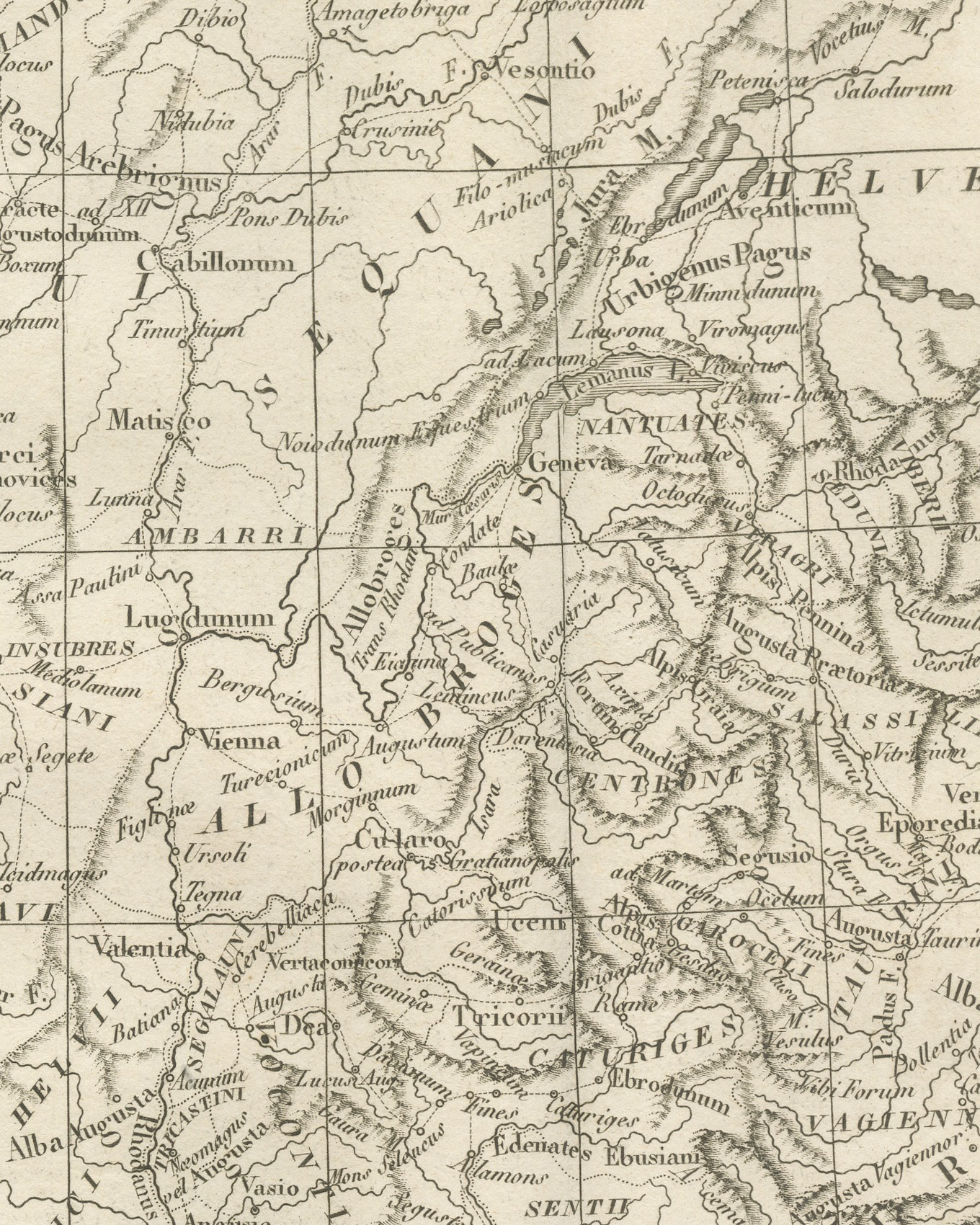
An original copper engraved map, uncolored, of the Roman province in southern Gaul and the country behind it, from the Loire valley and the Helvetii south to the coast of Catalonia at Barcino. The peoples are lettered in capitals, among them the Bituriges, Lemovices, Arverni, Ruteni, Aedui, Sequani, Helvetii, Allobroges, Helvii, Salyi and the Volcæ Tectosages. Lugdunum, Vienna, Valentia, Nemausus, Arelate, Aquae Sextiae, Massilia, Narbo Martius, Tolosa, Geneva, Vesontio, Alesia and Augustodunum are placed, with the Lemanus L., the Cebenna Mons and the Alpine valleys drawn in hachure. The sea is lettered Mare Græcum, and Emporiae and Barcino stand at the foot.

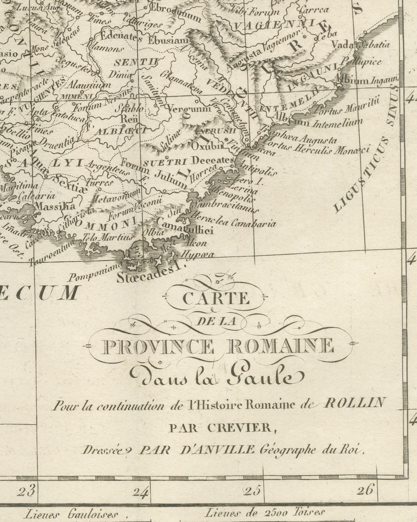
The cartouche at lower right reads Carte / de la / Province Romaine / dans la Gaule / Pour la continuation de l'Histoire Romaine de Rollin / par Crevier, / Dressée par d'Anville Géographe du Roi. The plate number Pl. 26 is engraved above the upper right corner of the neatline. Three scale bars are engraved in the margin below the plate: Milles Romains, Lieues Gauloises and Lieues de 2500 Toises.

The plate belongs to the Atlas de Géographie Ancienne, published in Paris in 1818 by Ledoux et Tenré and printed by Didot le jeune to accompany the works of Charles Rollin (1661 to 1741), author of the Histoire ancienne and the Histoire romaine. Its maps were engraved after the originals of Jean-Baptiste Bourguignon d'Anville (1697 to 1782). In the signed foreword Ambroise Tardieu, géographe-graveur, states that the maps were copied with religious fidelity and that, charged with revising the proofs, he had only to correct negligences and faults of execution. Jean-Baptiste-Louis Crevier (1693 to 1765) continued Rollin's Histoire romaine, and this plate is lettered for that continuation.

Condition: Light uneven toning, browner toward the edges. Marked handling soiling along the bottom and top edges. Foxing over much of the margin. Complete sheet, all four corners present. Minor edge wear, shallow nicks along the bottom. Pale water stain in the lower left margin.
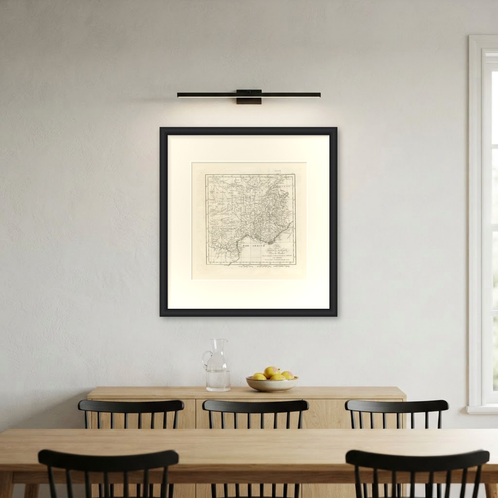
This is an original antique map, not a modern reproduction. This item is sold unframed. Any framed or interior images are shown for presentation and inspiration only, unless the listing explicitly states that the item is sold framed.

More from France

Ask about this sheet

Roman Province in Gaul, Provence and the Alps, d'Anville for Crevier, 1818
1818 · Ref. BG-14399-26 · € 245
We reply by email, usually within one working day.

Your favorites

Saved in this browser. Email the list to yourself to keep it on any device.

We use your email to send this list and, only if you tick the box and confirm, for occasional new arrivals. Every email has an unsubscribe link. Bartele Gallery, the Netherlands.