Maps & PrintsBartele Gallery · Langweer
Home / Antique Maps / Asia / South Asia / India & Ceylon

India & Ceylon · 18th century

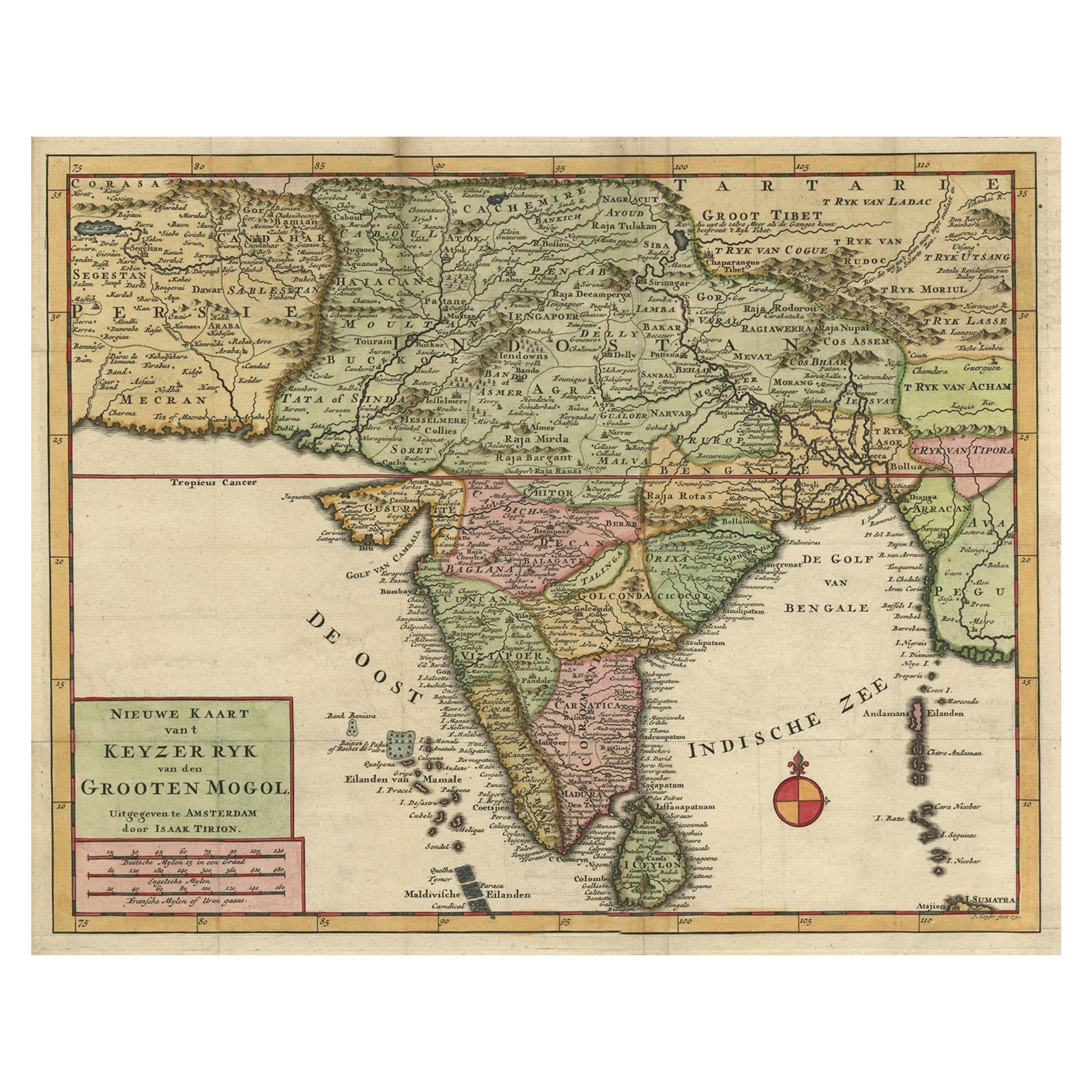
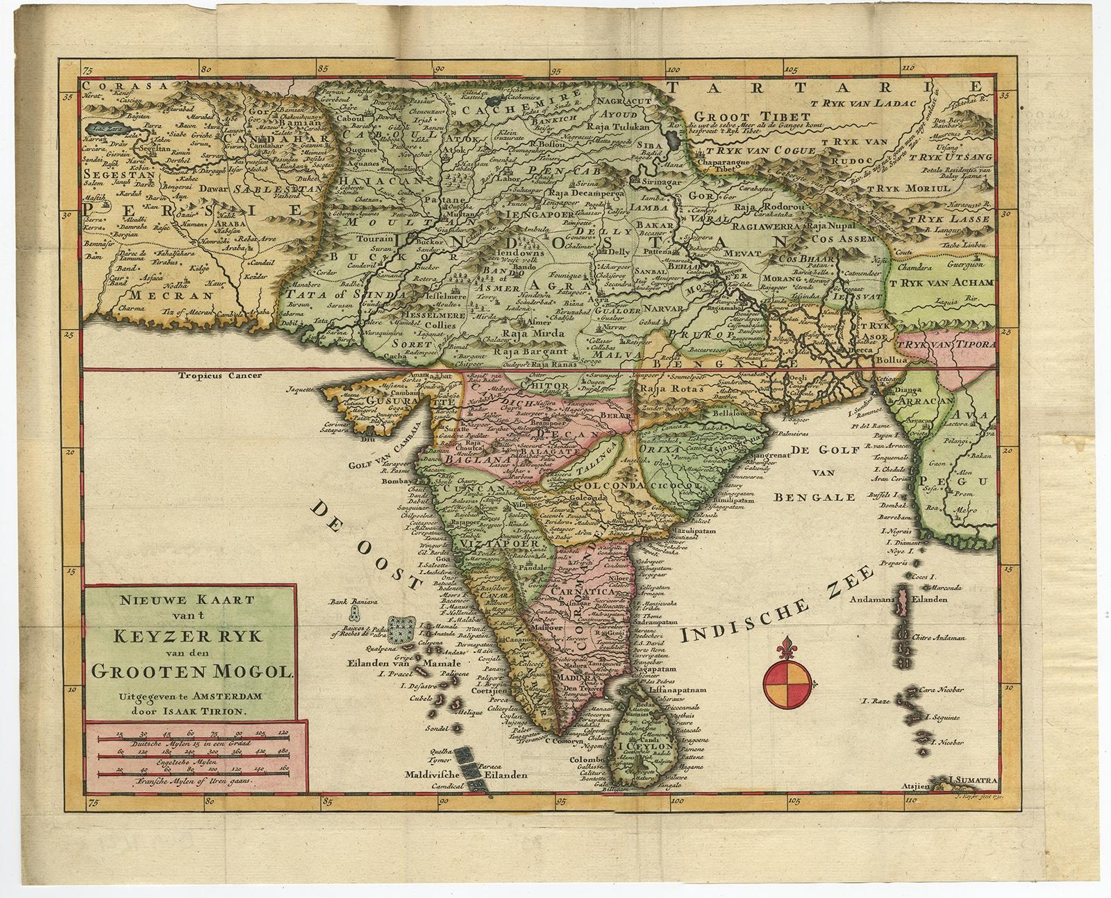
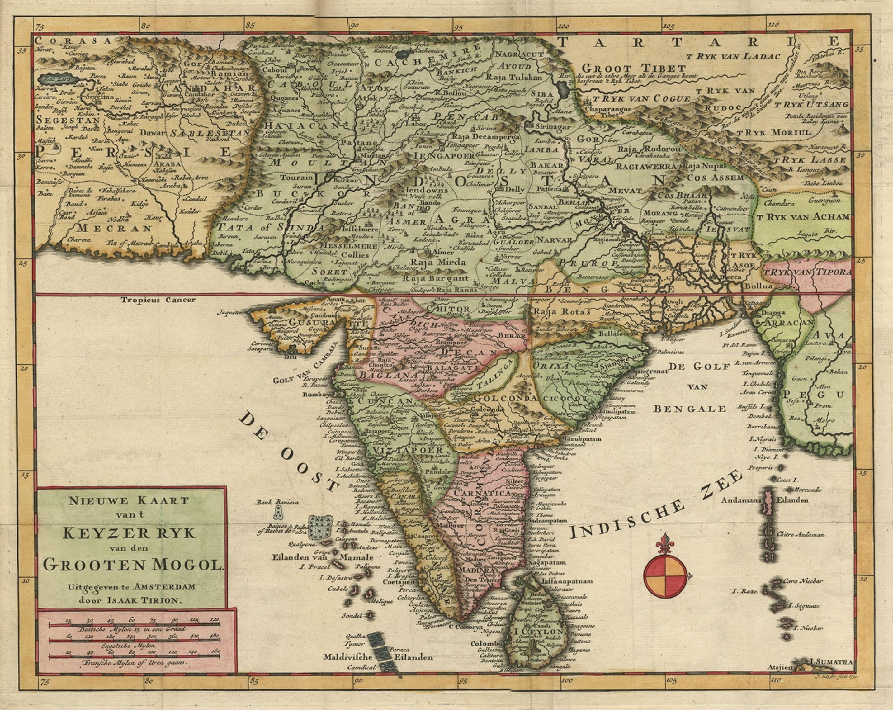
Attractive Detailed Map of the Empire of the Great Mogul, Incl India, 1731

€ 940

Original antique · The actual sheet photographed · Certificate of authenticity on request · Sold unframed · Worldwide shipping from € 15 (rates)

Date
1731
Sheet size
33.3 × 41 cm (13.1 × 16.1 in)
Condition
Good
Reference
PCT-59208

Condition

Given age. Edges with a few tiny tears. Some discolouration top margin left, hardly touching image. Original folds as issued. General age-related toning and/or occasional minor defects from handling. Please review the images for further condition details.
About this sheet

Antique map titled 'Nieuwe Kaart van t Keyzer Ryk Grooten Mogol.'

Attractive detailed map of the Empire of the Great Mogul, which included India, Sri Lanka, Pakistan and Bangladesh, decorated with a simple compass rose. Source unknown, to be determined.

Artists and Engravers: Made by 'Isaak Tirion' after an anonymous artist. Isaak Tirion, a Dutch publisher in Amsterdam, was born 1705. He produced serveral Atlases and Dutch town plans. The maps mainly based on those of Guillaume de l'Isle. He died in 1765.

More from India & Ceylon

Ask about this sheet

Attractive Detailed Map of the Empire of the Great Mogul, Incl India, 1731
1731 · Ref. PCT-59208 · € 940
We reply by email, usually within one working day.