Plan of a Garden at Surat and the City on the Tapti, 1780
€ 230
Original antique · The actual sheet photographed · Certificate of authenticity on request · Sold unframed · Worldwide shipping from € 15 (rates)
Date
1780
Mapmaker / artist
Carsten Niebuhr
Publisher
S. J. Baalde, Amsterdam, and Barthelemy Wild, Utrecht
Technique
Copper engraving
Coloring
Uncolored
Condition
Good
Reference
BG-14407-2-14
What the condition grades mean
Excellent
Bright and clean, with no faults worth mentioning.
Very good
Only light signs of age, such as faint toning.
Good
Normal signs of age for a sheet of this period: toning, some foxing, small marks or neat old repairs.
Fair
Clear faults such as staining, tears or repairs, priced to match.
Every fault we see is written in the condition note, and the whole sheet is shown uncropped in the photos.
Condition
Light uneven toning, browner toward the edges. Handling soiling along the left, right and top edges. Scattered light foxing in the margin. All four corners are present. Several larger brown marks. Folding plate, original folds as issued.
About this sheet
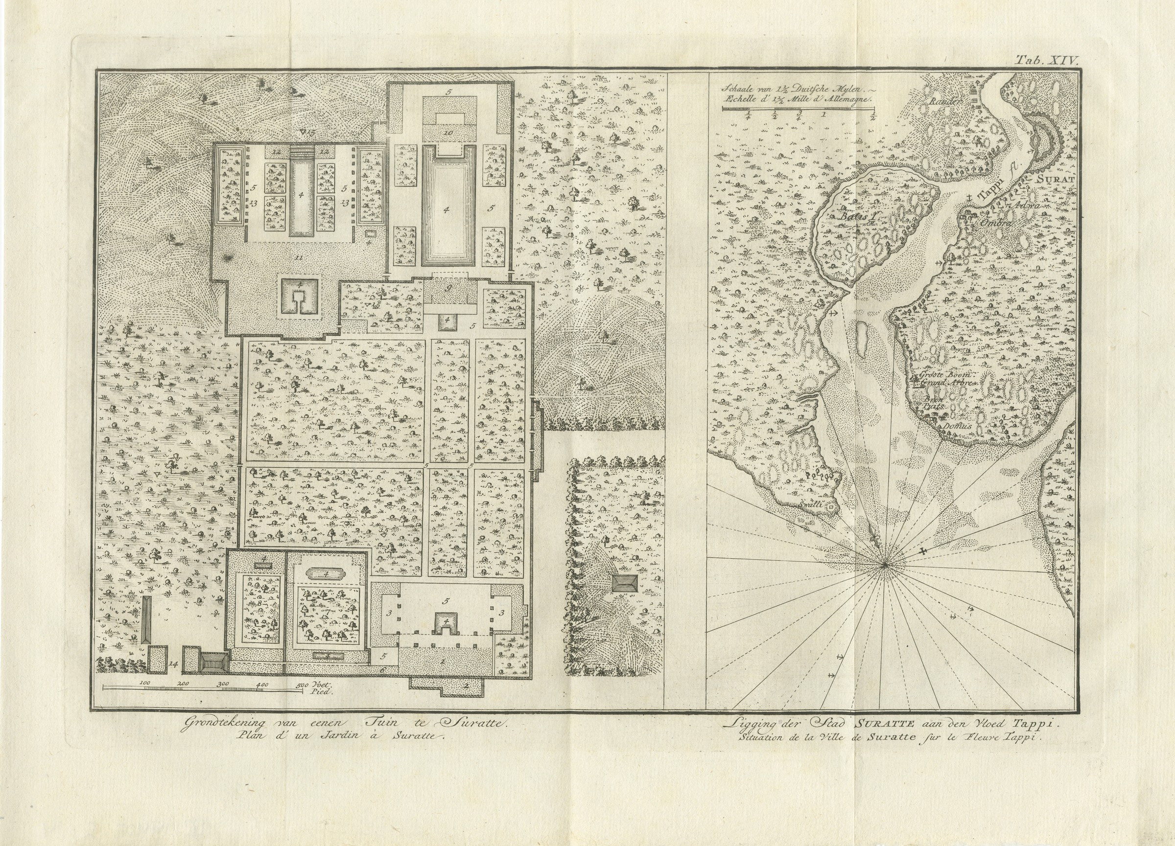
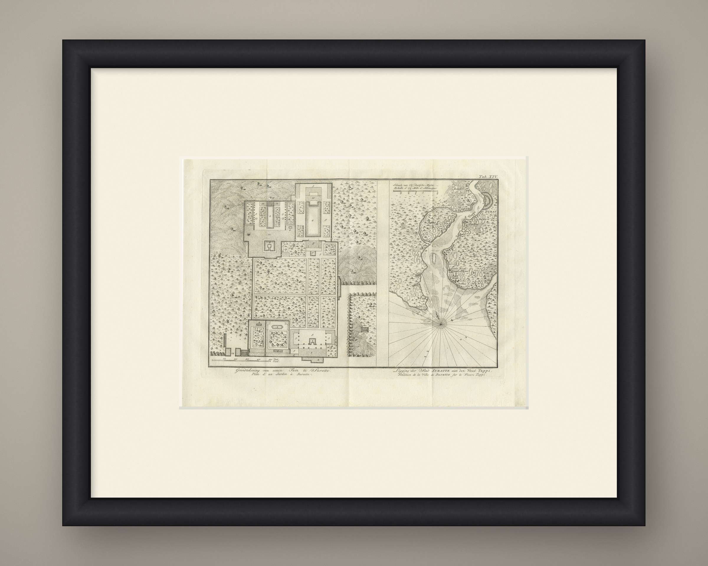
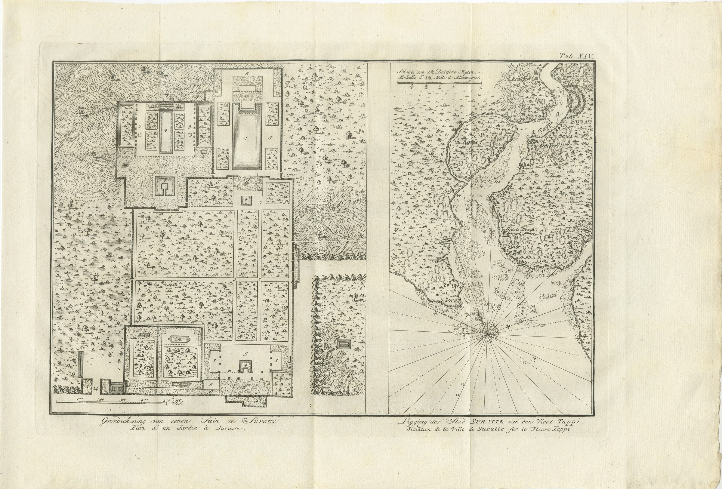
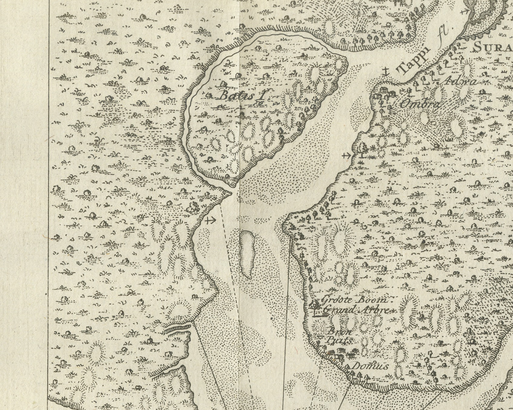
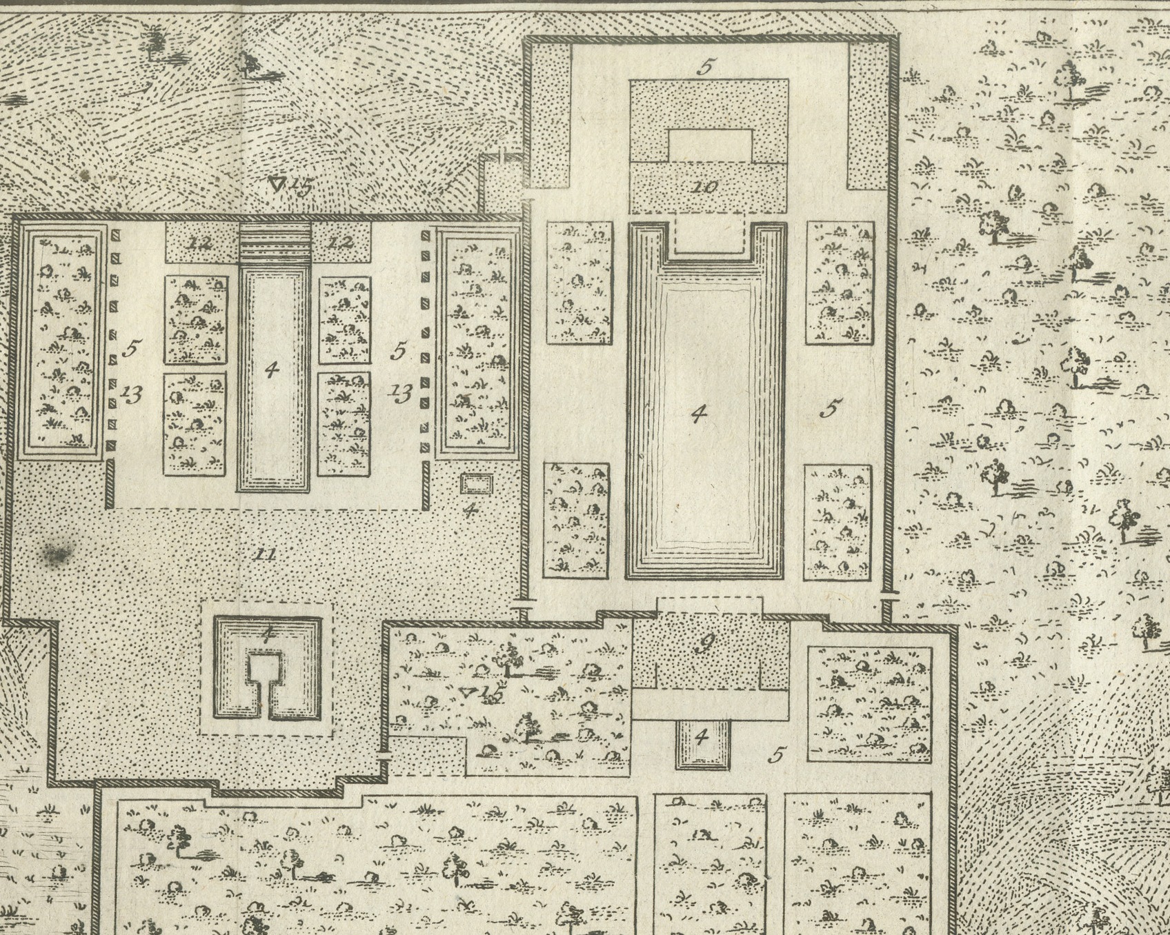
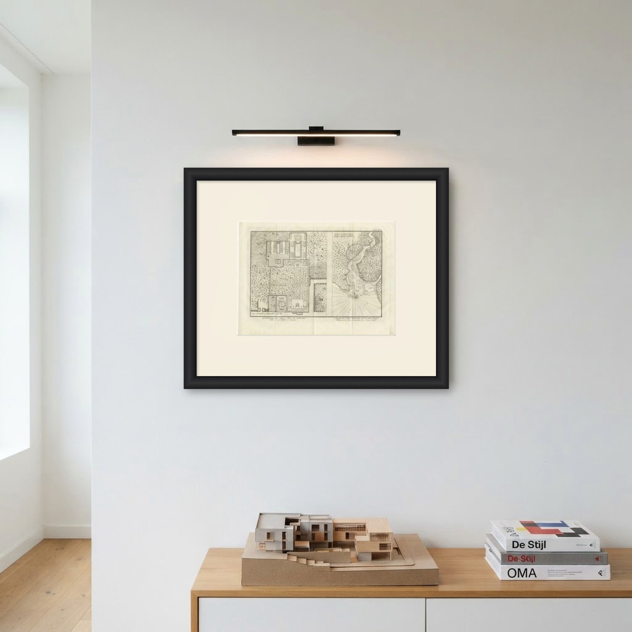
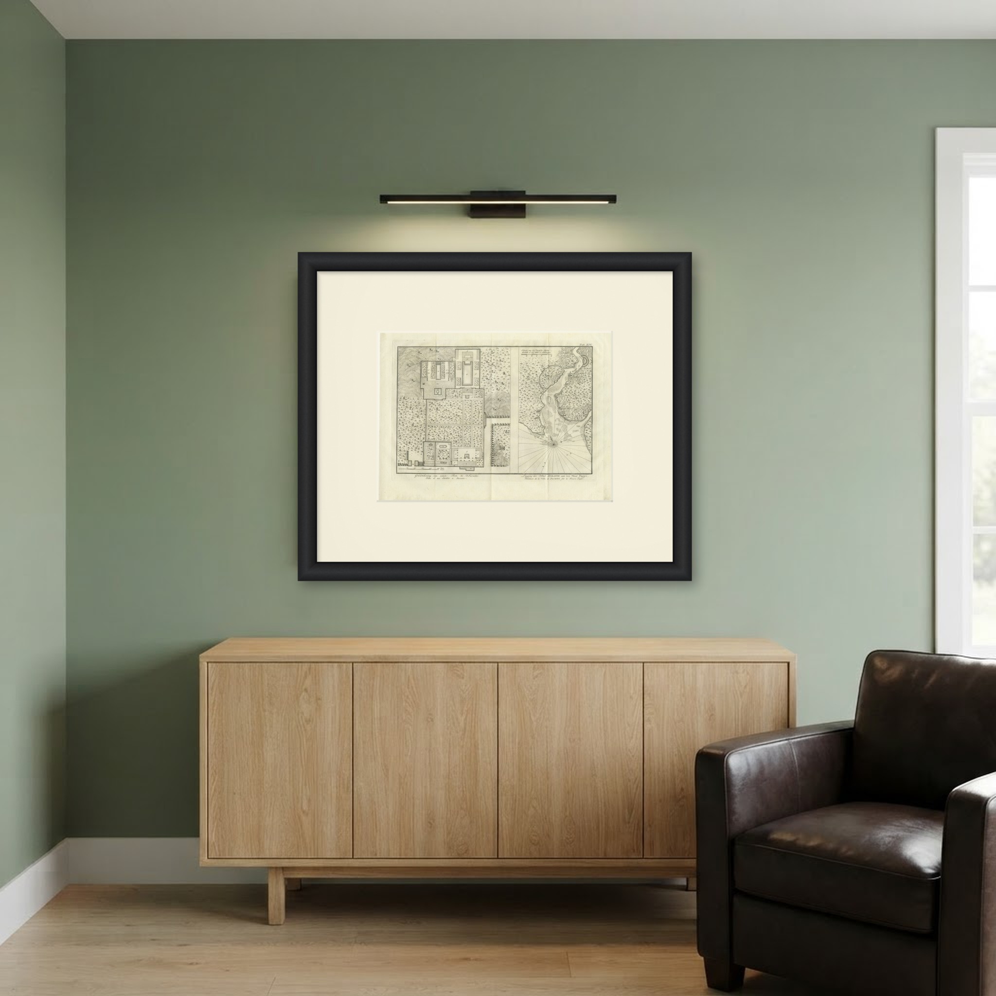
This is an original antique copper engraving from 1780, a wide folding plate with two subjects side by side. Under the left half the caption reads Grondtekening van eenen Tuin te Suratte. and Plan d' un Jardin à Suratte., "Plan of a garden at Surat". Under the right half it reads Ligging der Stad SURATTE aan den Vloed Tappi. and Situation de la Ville de Suratte sur le Fleuve Tappi., "Situation of the city of Surat on the river Tapti".
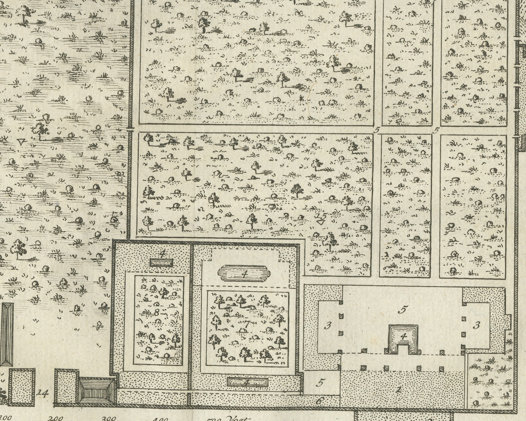
The left half is the plan of a large walled garden, laid out in rectangular beds planted with trees and divided by walks. Pavilions, courts and long water basins are drawn at the top and bottom, and the parts are numbered from 1 to 14. A bar scale at the bottom runs to 500 and is lettered Voet. and Pied. The right half is a small map of the river, lettered Tappi fl., winding down from the top of the plate between banks dotted with trees and fields. SURAT is marked at the upper right beside a curved fortification, with Rander across the river and Adra and Ombra below. An island lettered Batas I. lies in the river, and lower down are Groote Boom (Grand Arbre), Bron (Puits) and Domus. Rhumb lines radiate from a compass point in the lower part of the map, and a scale at the upper left is lettered Schaale van 1 1/2 Duitsche Mylen. and Echelle d' 1 1/2 Mille d'Allemagne.
No artist's or engraver's name is printed on the sheet. It is lettered "Tab. XIV." at the upper right.
The plate comes from the second volume of Carsten Niebuhr's Voyage en Arabie & en d'autres Pays circonvoisins, the French translation printed for S. J. Baalde at Amsterdam and Barthelemy Wild at Utrecht; the title page of the volume reads TOME SECOND and is dated MDCCLXXX. The account was first published in German at Copenhagen, and this is the French translation printed in Amsterdam and Utrecht. Carsten Niebuhr (1733 to 1815) was a German born surveyor in Danish service and the only member of the Danish expedition to Arabia (1761 to 1767), sent by King Frederick V of Denmark, to return alive.
Light uneven toning, browner toward the edges. Handling soiling along the left, right and top edges. Scattered light foxing in the margin. All four corners are present. Several larger brown marks. Folding plate, original folds as issued.
This is an original antique print, not a modern reproduction. This item is sold unframed. Any framed or interior images are shown for presentation and inspiration only, unless the listing explicitly states that the item is sold framed.