Maps & PrintsBartele Gallery · Langweer
Home / Antique Maps / Asia / Asia as a Whole

Asia as a Whole · 18th century

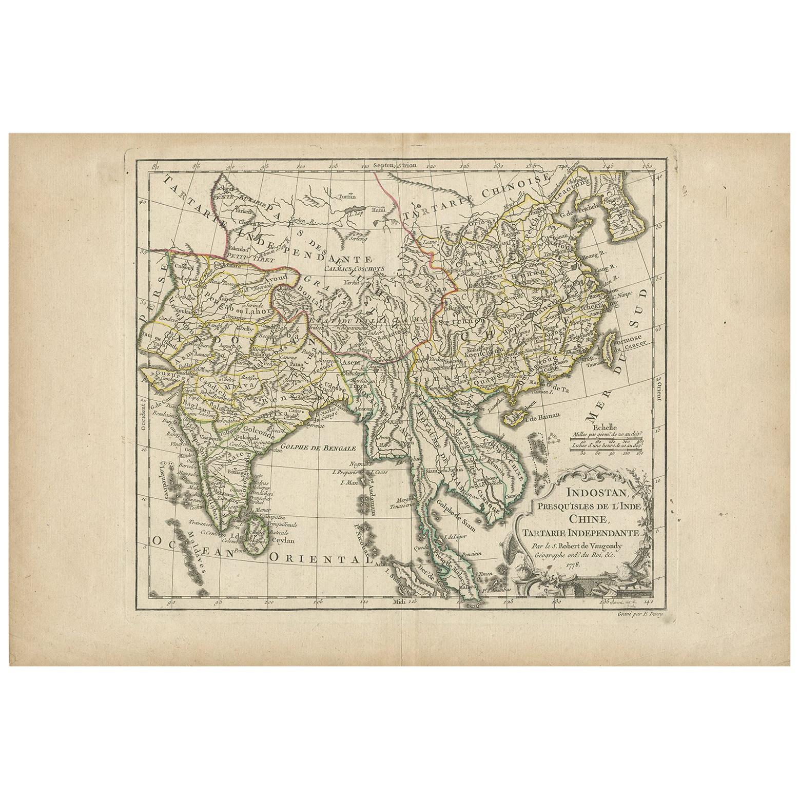
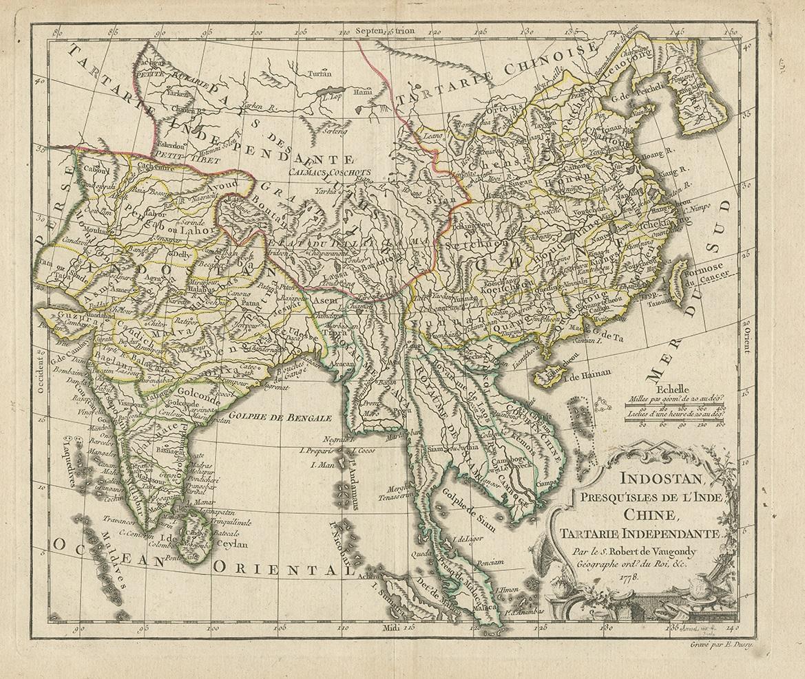
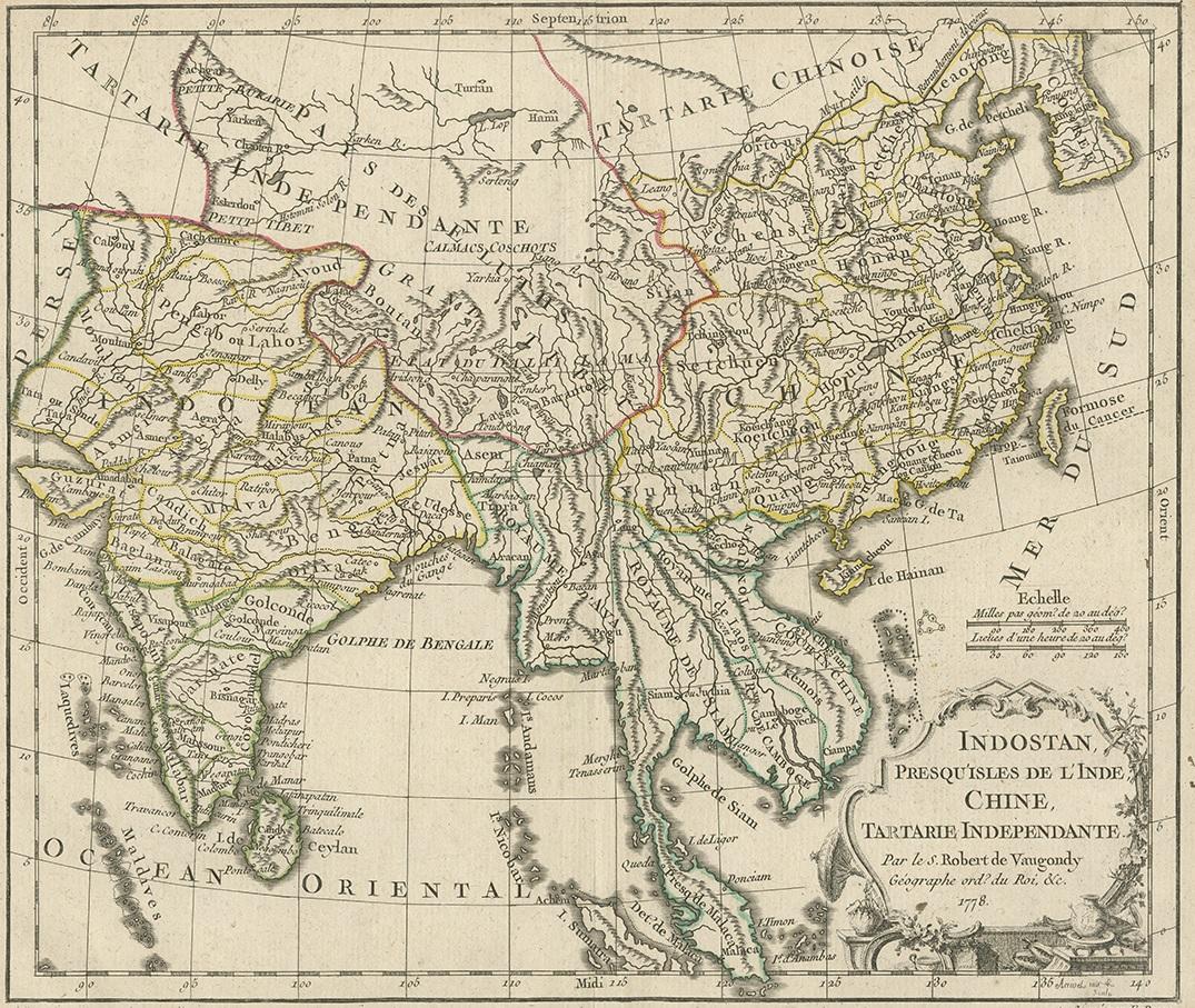
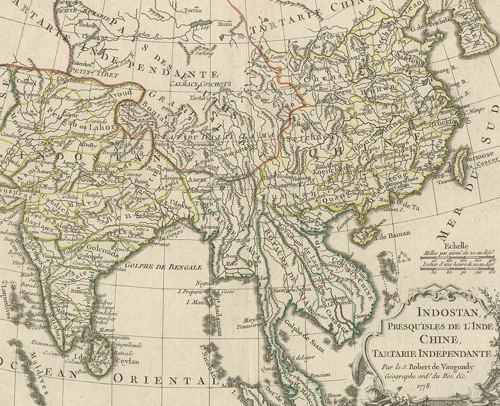
Antique Map of Asia by Dussy, 1778

€ 220

One of a kind: this is the sheet in the photographs. Ships from Langweer, the Netherlands.

Date
1778
Mapmaker / artist
E. Dussy (Artist)
Sheet size
28 × 41.5 cm (11.0 × 16.3 in)
Condition
Good
Reference
BG-09980

Condition

Original outline coloring, some creasing and age-related toning. Please study images carefully.
About this sheet

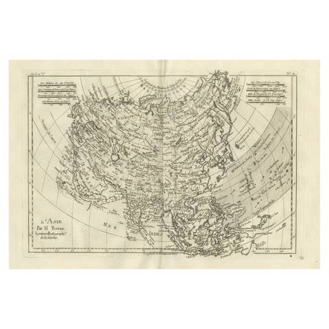
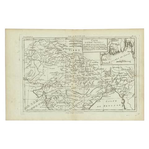
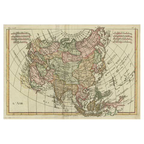
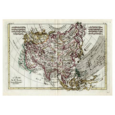
Antique map of Asia titled 'Indostan presqu'isles de l'Inde, Chine, Tartarie Independante'. Depicting South-East Asia including Hindustan, India and China. This map originates from "Nouvel Atlas Portatif destine principalement sur l'Etude de la Geographie par le S.Robert Vaugondy a Paris, 1778 de la Societe Royale des Sciences et Belles Lettres de Nancy et Conseur Royal", Paris: S. Robert Vaugondy, 1778.

More from Asia as a Whole

Ask about this sheet

Antique Map of Asia by Dussy, 1778
1778 · Ref. BG-09980 · € 220
We reply by email, usually within one working day.