Maps & PrintsBartele Gallery · Langweer
Home / Antique Maps / Asia / Asia as a Whole

Asia as a Whole · 18th century

Antique Map of the Tunquin River and Bay by Van Schley 'c.1750'

€ 150

One of a kind: this is the sheet in the photographs. Ships from Langweer, the Netherlands.

Date
1750
Sheet size
25.5 × 19.5 cm (10.0 × 7.7 in)
Condition
Good
Reference
BG-12950-1

Condition

General age-related toning. Original folding lines. Minor wear, blank verso. Please study image carefully.
About this sheet

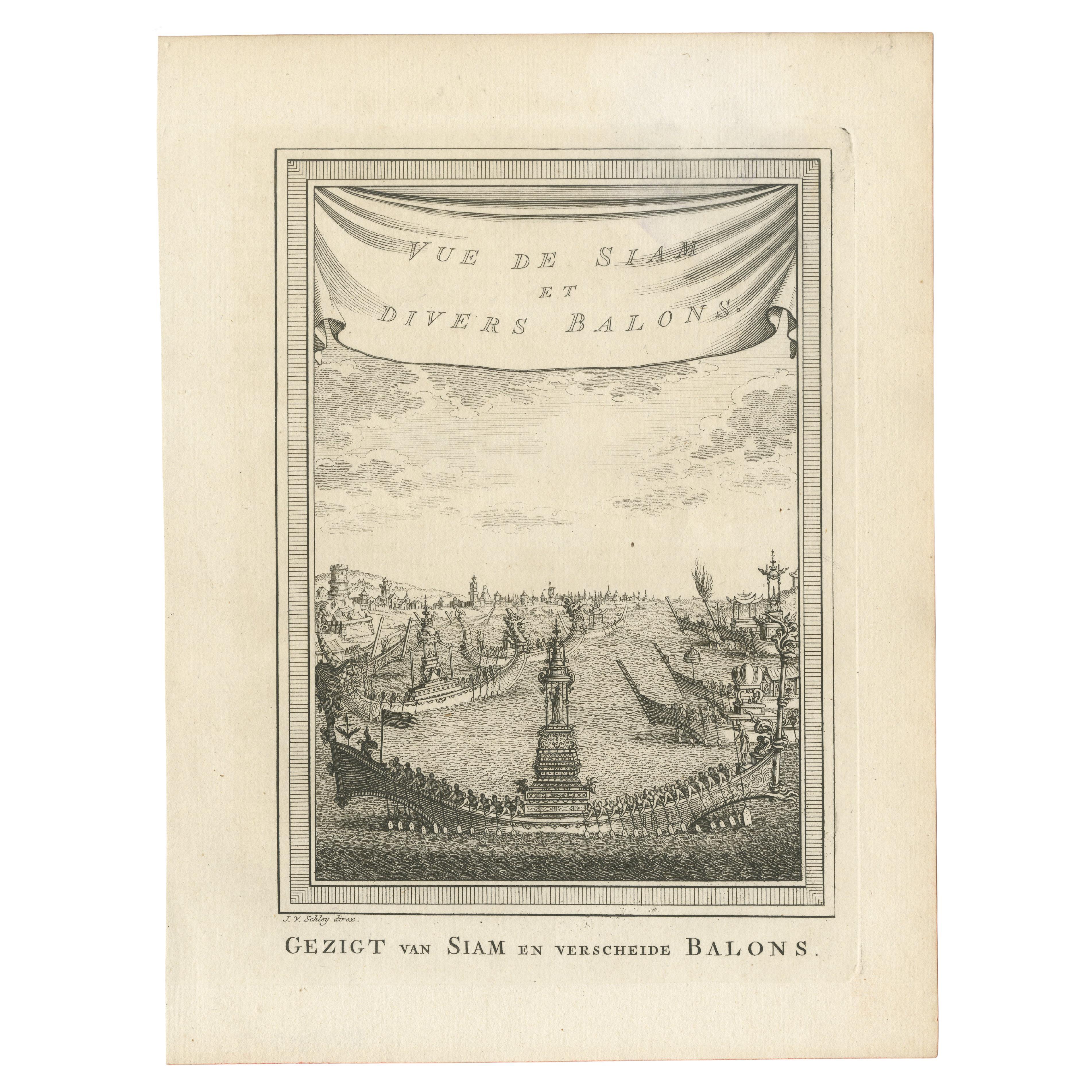
Antique map titled ‘Kaart van den Loop der Rivier van Tonkin van Cacho tot aan de Zee / Carte du Cours de la Riviere de Tunquin Depuis Cacho jusqu'à la Mer J. v. Schley direx.’ Detailed map of the Tunquin River and Bay, extending north to Cacho, the capital city. This print originates from the Dutch edition of Prevost's 'Histoire Generale des Voyages' (Paris 1746-1759). Engraved by J. van Schley.

More from Asia as a Whole

Ask about this sheet

Antique Map of the Tunquin River and Bay by Van Schley 'c.1750'
1750 · Ref. BG-12950-1 · € 150
We reply by email, usually within one working day.