maps-prints.com
✦
Black Friday Sale
Friday 20 to Monday 30 November: up to 30% off original antique maps and prints
The terms
- Up to 30% off selected original antique maps and prints. Every piece is an original, printed in its own time; none is a reproduction.
- The sale runs from Friday 20 November to Monday 30 November. Sale prices shown here apply from Friday 20 November; until then pieces are sold at their regular price.
- Free FedEx shipping on qualifying orders placed on our own websites: USA, Canada, UK and Europe over $500 / €450; rest of the world over $750 / €675. Smaller orders pay our normal shipping rate.
- Orders placed from 15 to 30 November ship from 1 December, in time for Christmas. Our shipping partner is InXpress.
- Each piece is unique, so the sale is while stock lasts.
Collection:AllAmericanSea chartsMilitaryNatural historyFashionArchitectureBotanicalSacredEast Indies
Sale prices apply from Friday 20 November. Save the pieces you like with the heart and come back on Friday.
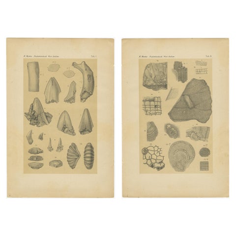 Antique Print of Caribbean Coral & Fossils - Geological Lithograph Pair, 1888
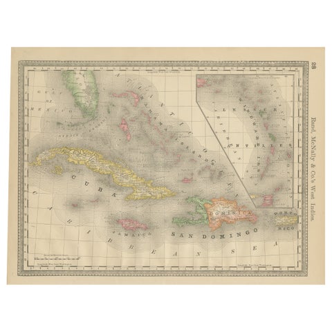 Antique Caribbean Map Wall Art – Cuba Jamaica Hispaniola, Rand McNally, ca.1888
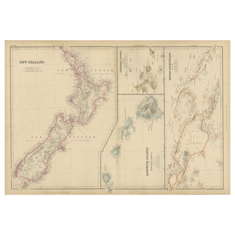 New Zealand, Antique Map, Pacific Islands, Sandwich Islands, Blackie Atlas 1860
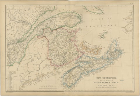 Antique Map of New Brunswick, Nova Scotia, Prince Edward Island and Canada East
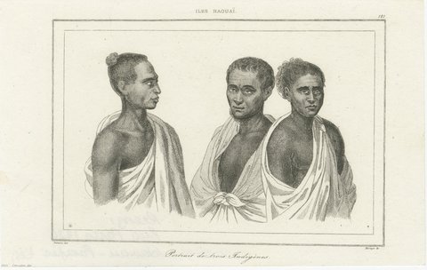 Hawaiian Islanders, Portraits and Cultural Scenes – Three Engravings, Paris 1836
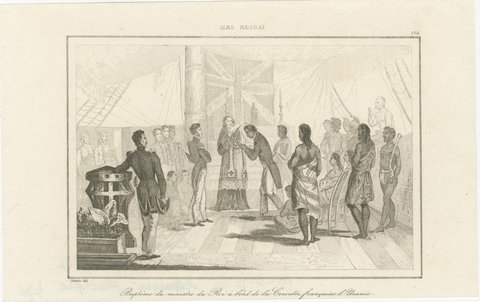 Hawaiian Islands – Three Pacific Exploration Engravings, Paris 1836
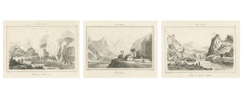 Hawaiian Volcanoes & Valleys – Antique Voyage Engravings, Renzi, Paris 1836
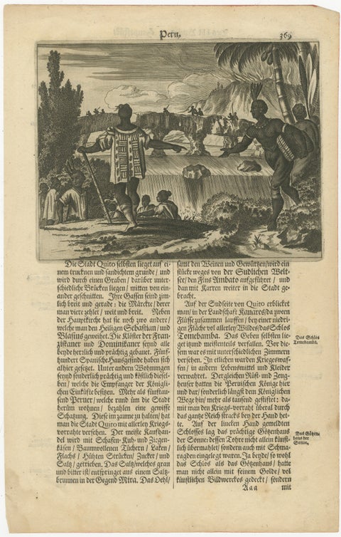 Original Antique Woodcut of Peru and Quito from Gottfried's America, c.1655
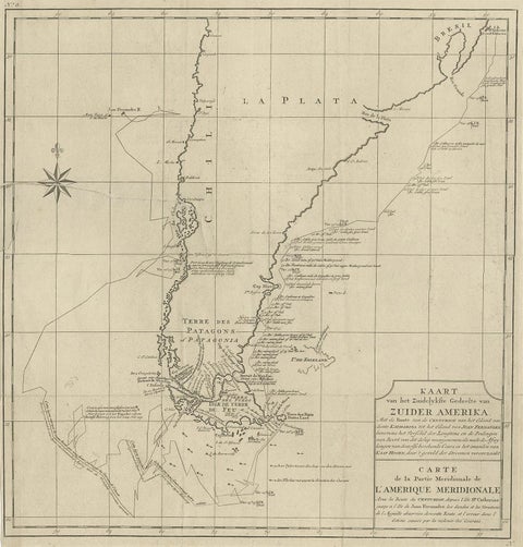 Antique Map of South America by G. Anson, 1749
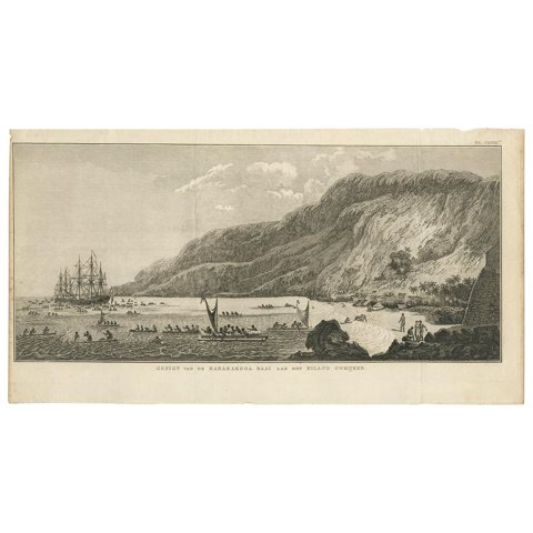 Antique Print of Karakakooa Bay by Cook, 1803
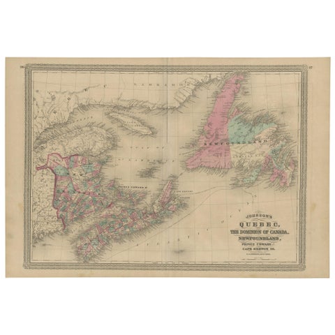 Antique Map of New Brunswick, Nova Scotia and Surroundings by Johnson, 1872
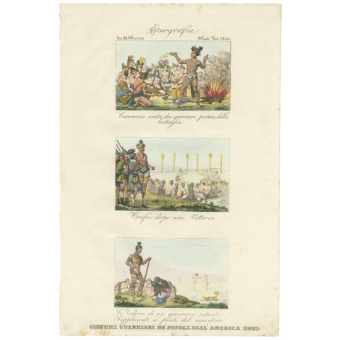 Antique Print of Warrior Costumes and Scenes of North America, '1845'
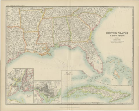 Antique Map of the United States ' South East ' by Johnston '1909'
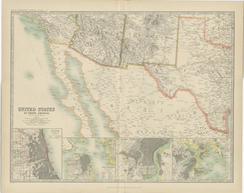 Antique Map of the United States of North America by Johnston '1909'
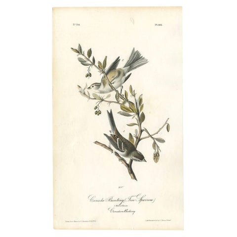 Antique Bird Print of the Canada Bunting by Audubon, c.1840
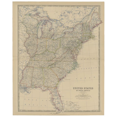 Antique Map of the United States of North America, c.1882
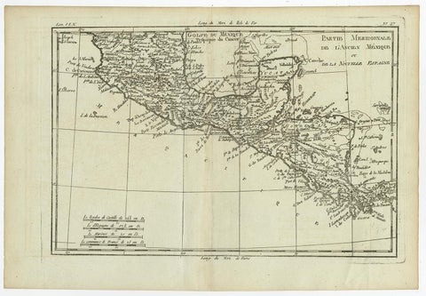 Antique French Engraving of Mexico with Lots of Details, c.1780
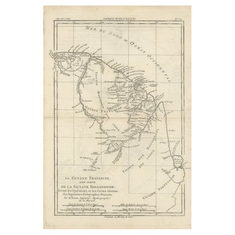 Antique Map of South America Depicting Guayana, c.1780
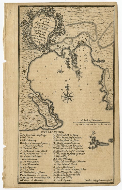 Rare Map of St. Louis on the Island of Hispaniola 'Santa Domingo', 1748
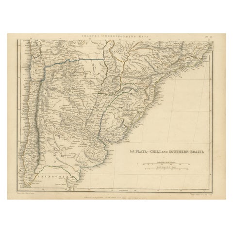 Antique Map of La Plata, Chili and Southern Brazil, 1849
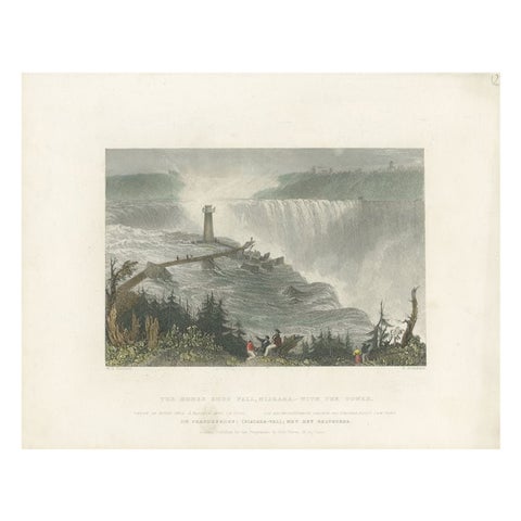 Antique Print of the Horseshoe Falls by Brandard, c.1840
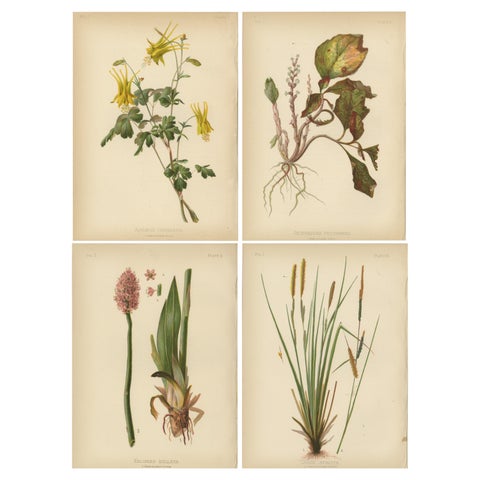 Native US Flora - Four Original Botanical Chromolithograps, 1879
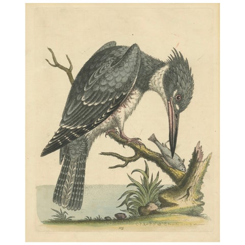 Majestic Hunter: The American Belted Kingfisher in Its Natural Habitat, 1749
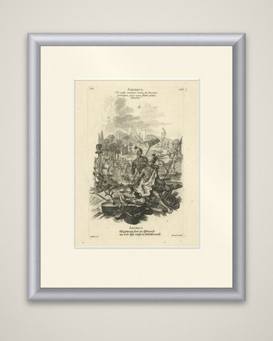 Allegorical 18th-Century Engraving of America by Johann Hertel, Augsburg c.1750
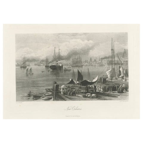 New Orleans Harbor, Mississippi River Shipping and Steamers – Engraving ca.1850
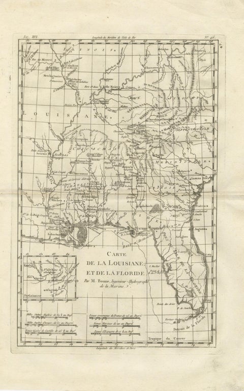 Antique Map Louisiana & Mississippi Valley — Florida Region, Bonne c.1780
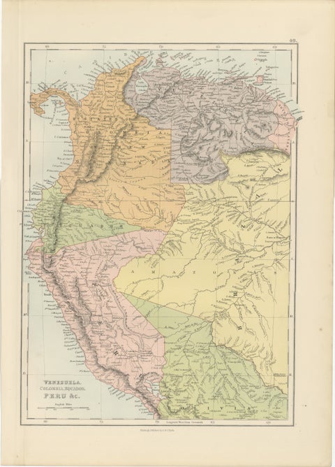 Antique Venezuela, Colombia, Ecuador & Peru Map, Bartholomew, 1884
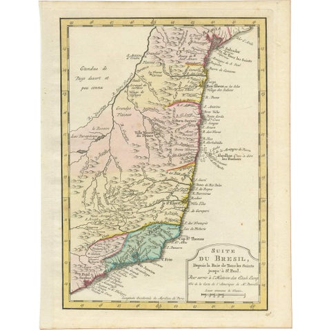 Antique Map of the Brazilian Coast by A. Van Krevelt
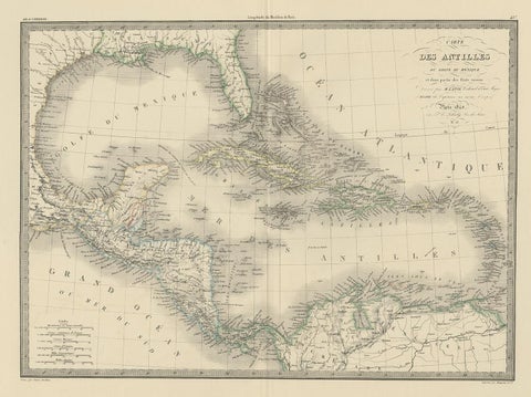 Antique Map of the Antilles by Pierre M. Lapie, Mid-19th Century
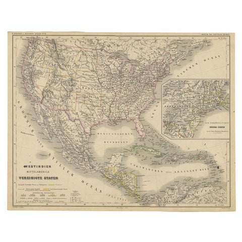 Old German Map of the United States, Central America and the West Indies, c.1870
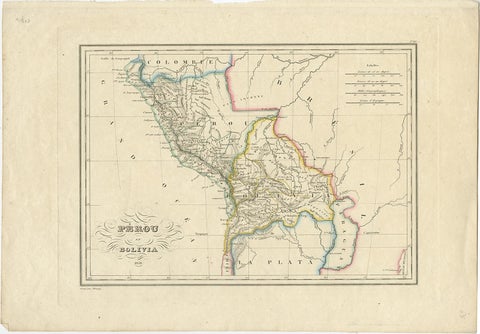 Antique Map of Peru and Bolivia, 1836
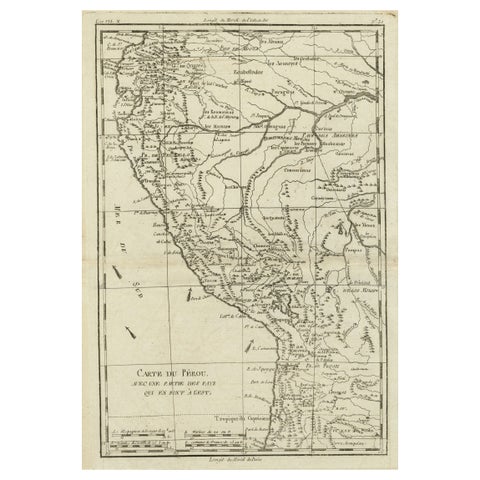 Map of the Western Coast of South America from Ecuador into Chili, ca.1780
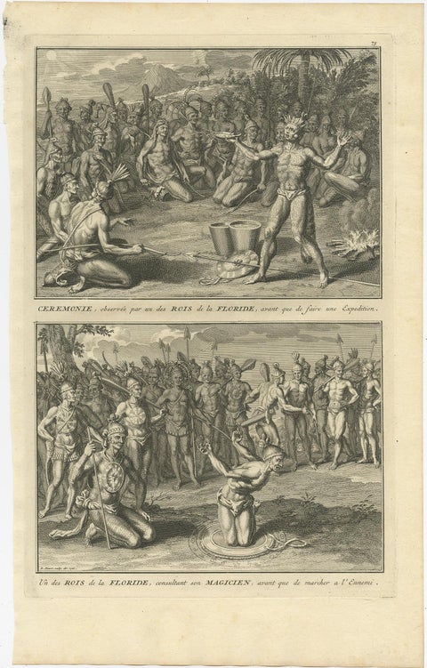 Two Engravings of an Florida King of the Indians in America, 1722
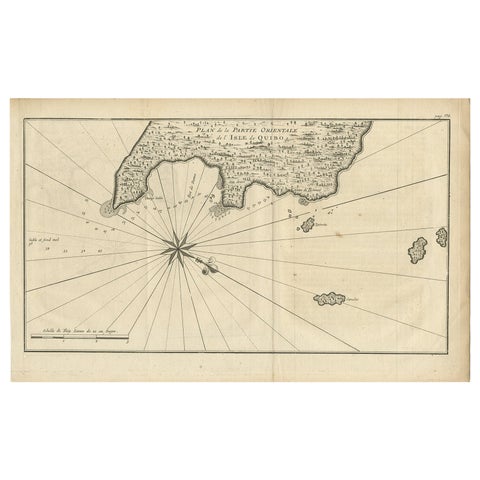 Antique Map of Coiba Island, Panama, South America, C.1740
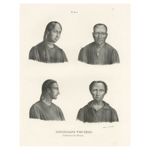 Original Antique Print of Peruvians, Natives of Peru
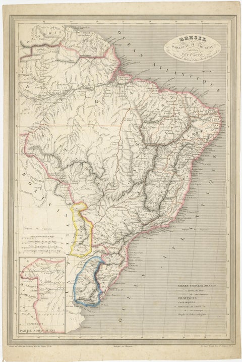 Antique Map of of Brazil, Paraguay and Uruguay
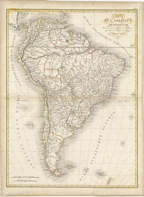 Scarce Antique Map of South America
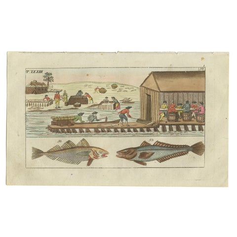 Antique Fish Print of Whiting, Hake and Workers gutting and salting fish
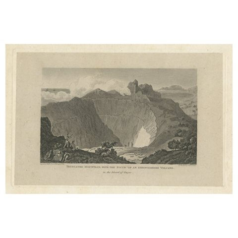 Rare Visions of a Dormant Titan: The Ancient Volcano of Owyhee or Hawaii, 1815
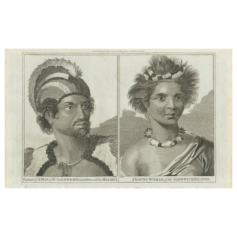 Regalia of the Sandwich Islands: Portraits in Traditional Attire, 1790
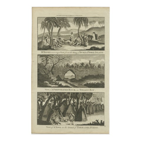 18th Century Engravings of Exploration: Banks, Tolago Bay, Terra del Fuego, 1790
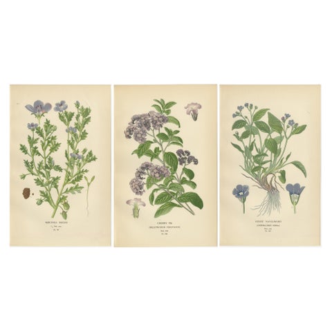 1897 Vibrant Botanical Prints – Baby Blue Eyes, Cherry Pie and Blue Eyed Mary
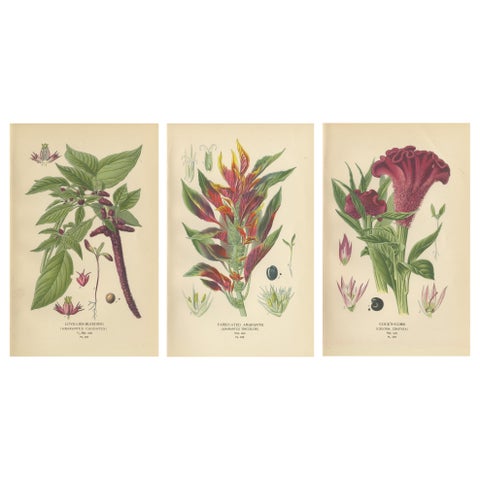 1897 Botanical Prints – Love-Lies-Bleeding, Variegated Amaranth, and Cockscomb
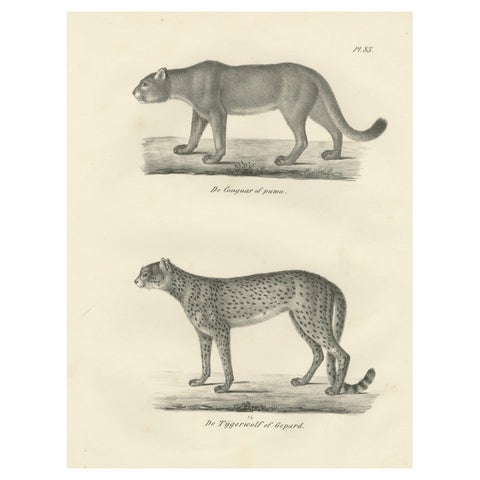 19th-Century Lithograph of the Puma and Cheetah in Graceful Stances
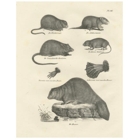 19th-Century Zoological Lithograph of Beavers, Muskrats and Field Mice
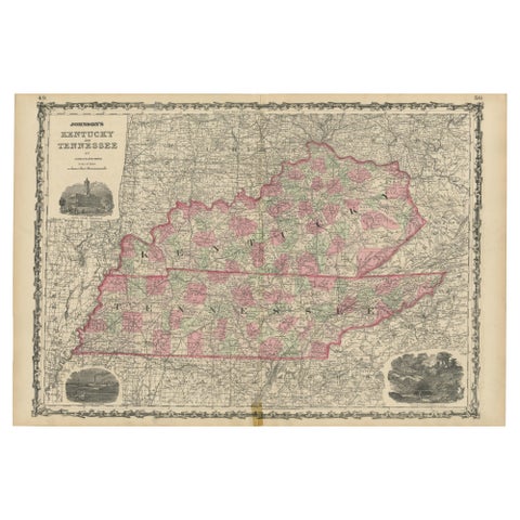 Civil War Era Map of Kentucky and Tennessee with Scenic Insets, Published 1864
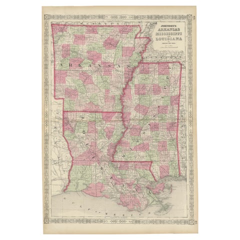 Rare 1864 Civil War Era Map of Arkansas, Mississippi, and Louisiana
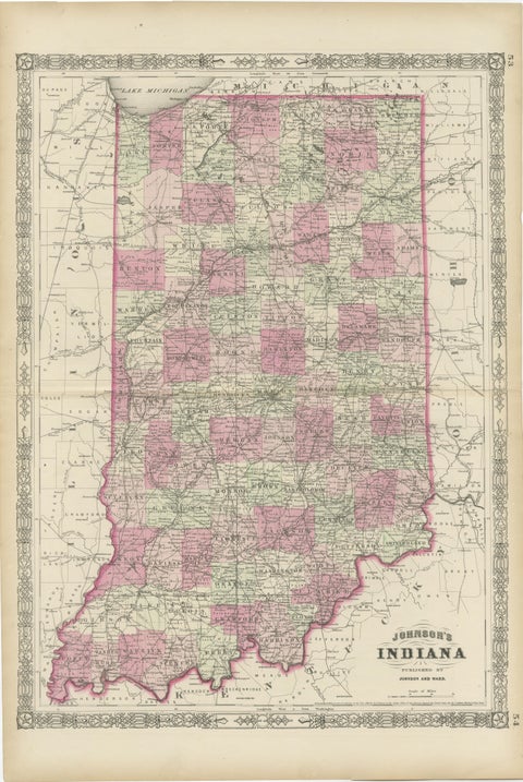 Decorative 1864 Civil War Era Map of Indiana with Lake Michigan Detail
Sharing the sale? Download the Black Friday banners.