Antique Caribbean Map Wall Art – Cuba Jamaica Hispaniola, Rand McNally, ca.1888
€ 360
Original antique · The actual sheet photographed · Certificate of authenticity on request · Sold unframed · Worldwide shipping from € 15 (rates)
Date
1888
Sheet size
26.5 × 36 cm (10.4 × 14.2 in)
Condition
Good
Reference
BG-12794-74
What the condition grades mean
Excellent
Bright and clean, with no faults worth mentioning.
Very good
Only light signs of age, such as faint toning.
Good
Normal signs of age for a sheet of this period: toning, some foxing, small marks or neat old repairs.
Fair
Clear faults such as staining, tears or repairs, priced to match.
Every fault we see is written in the condition note, and the whole sheet is shown uncropped in the photos.
Condition
Light age toning consistent with age. Minor edge wear and small handling marks from original atlas binding. Overall clean and well preserved.
About this sheet
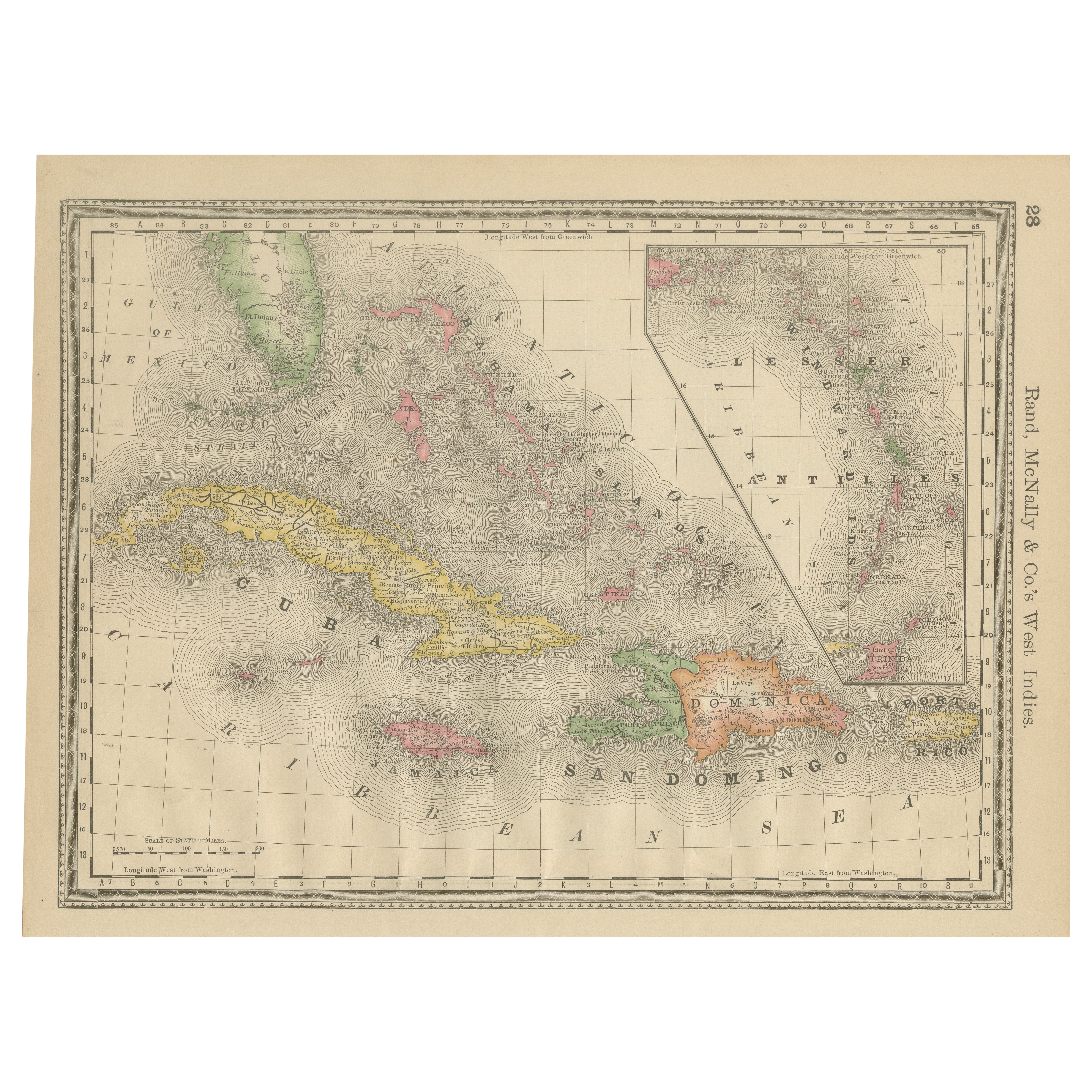
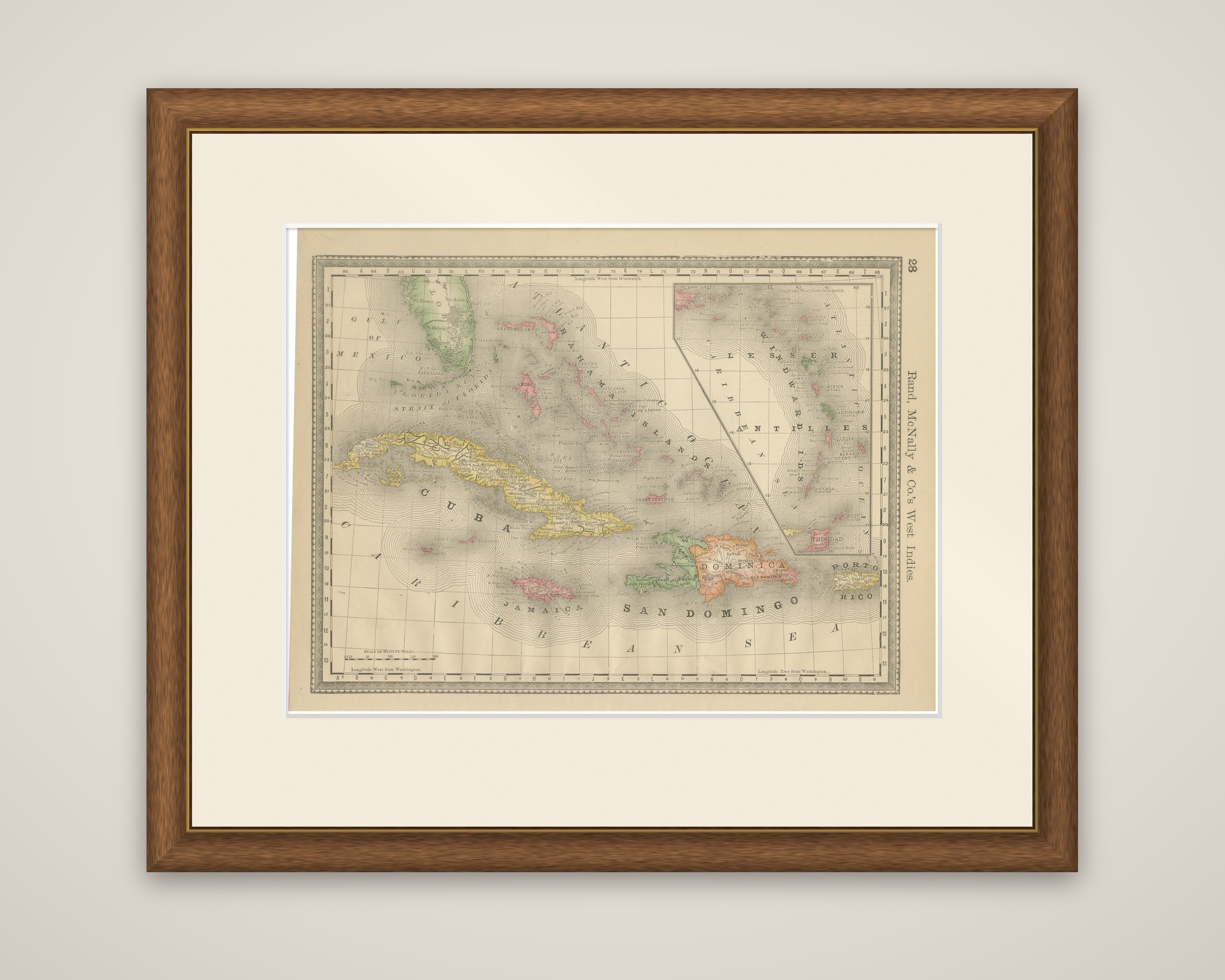
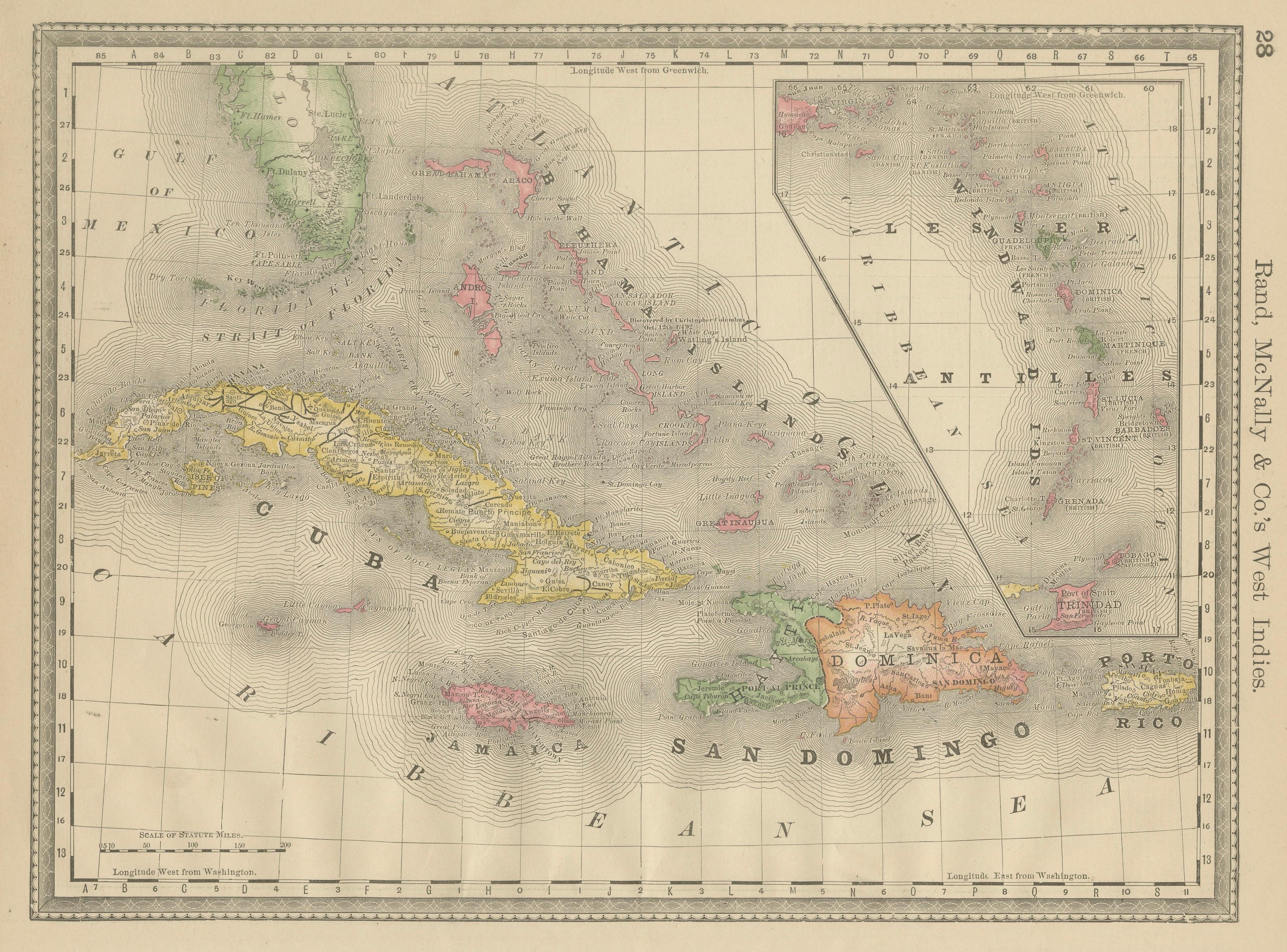
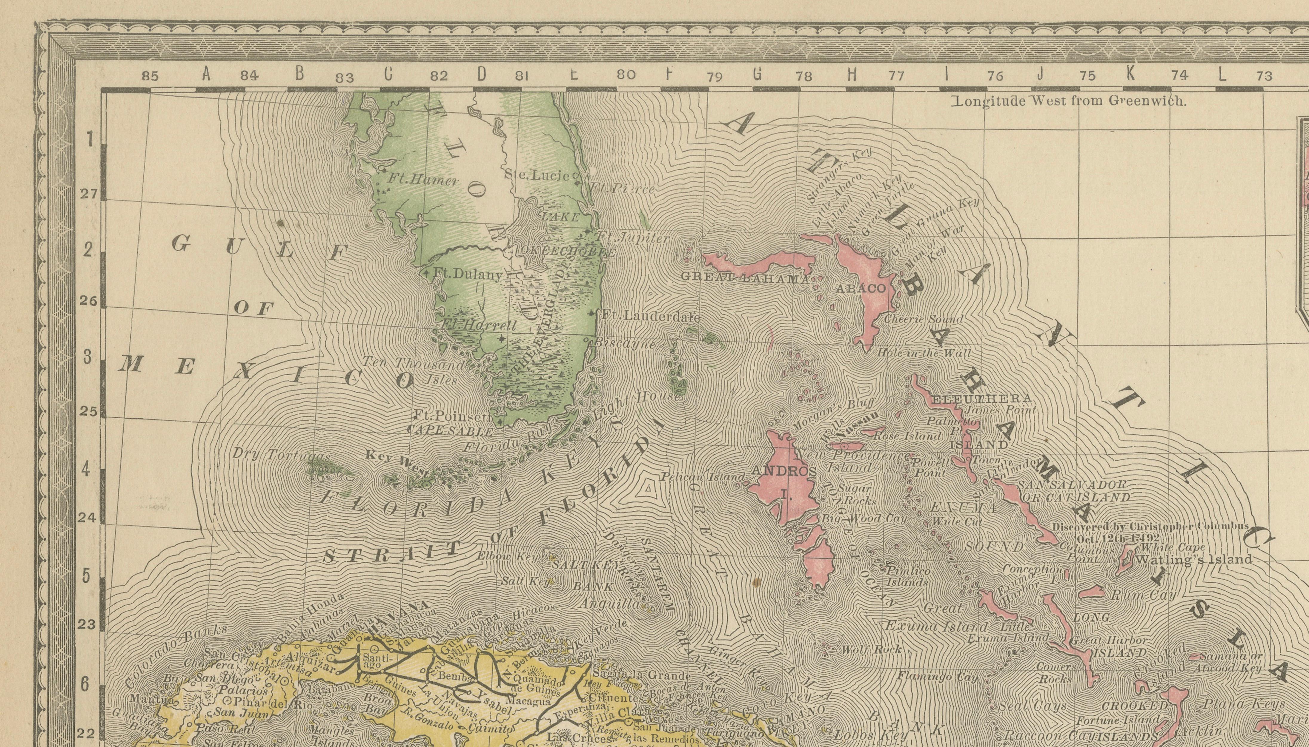
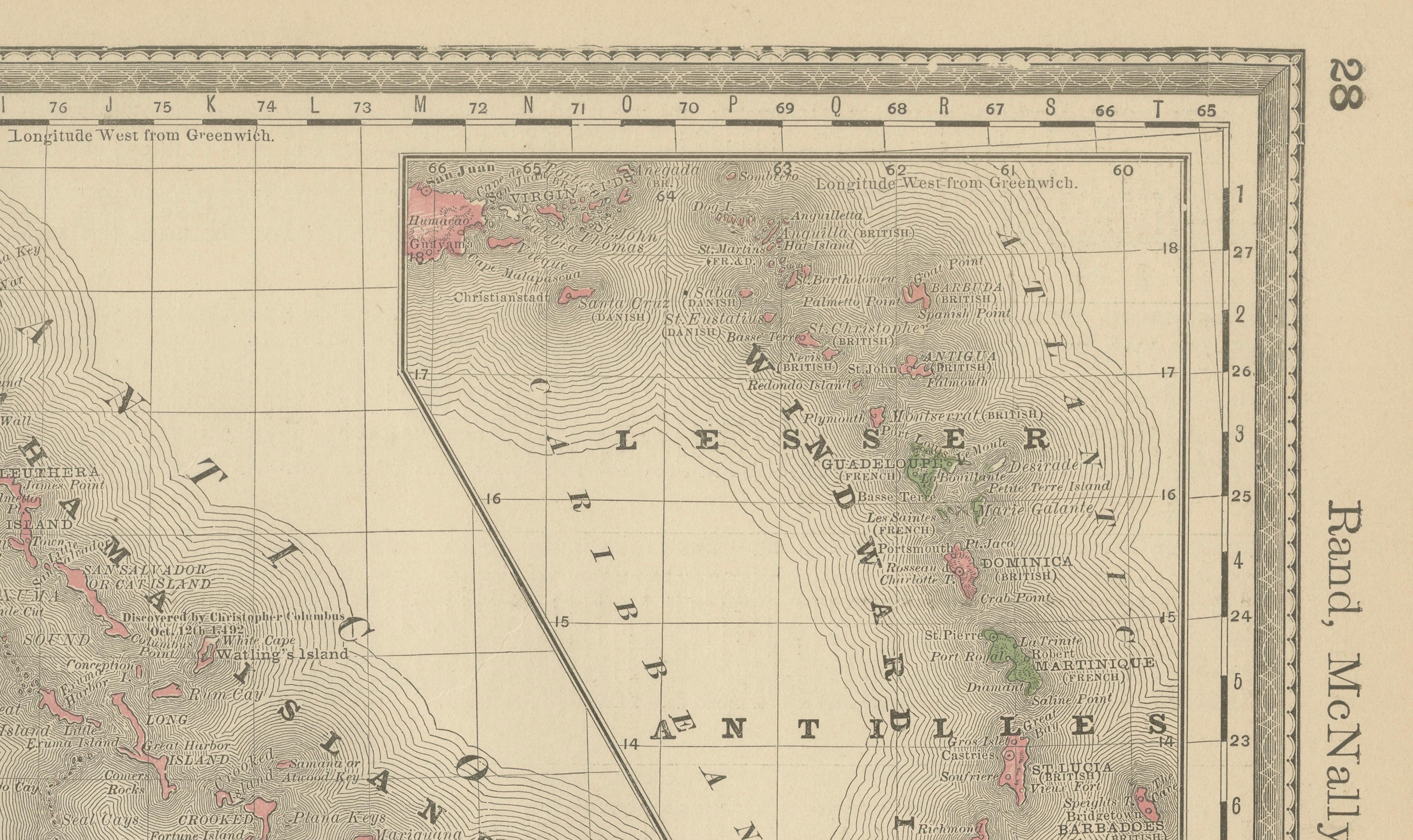
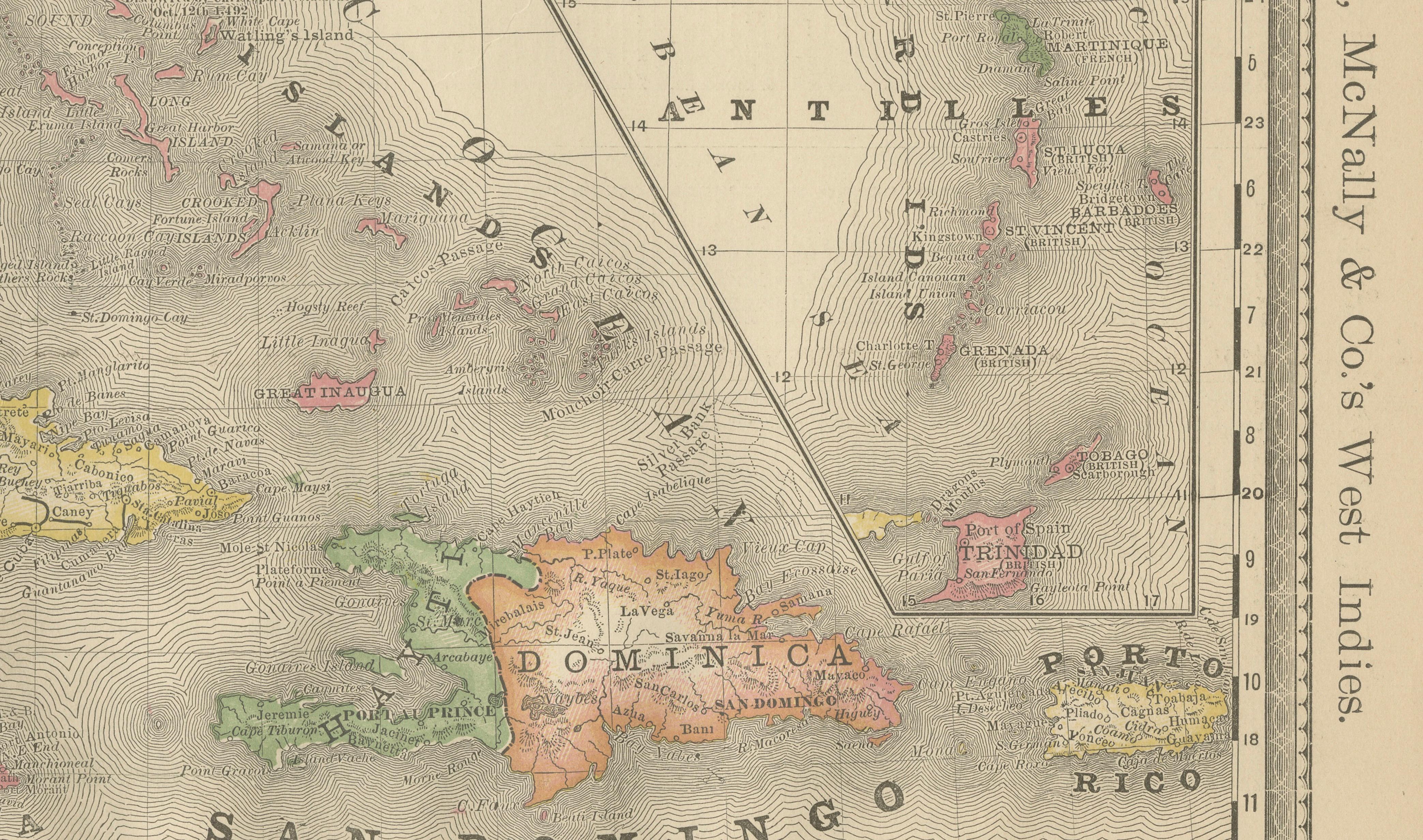
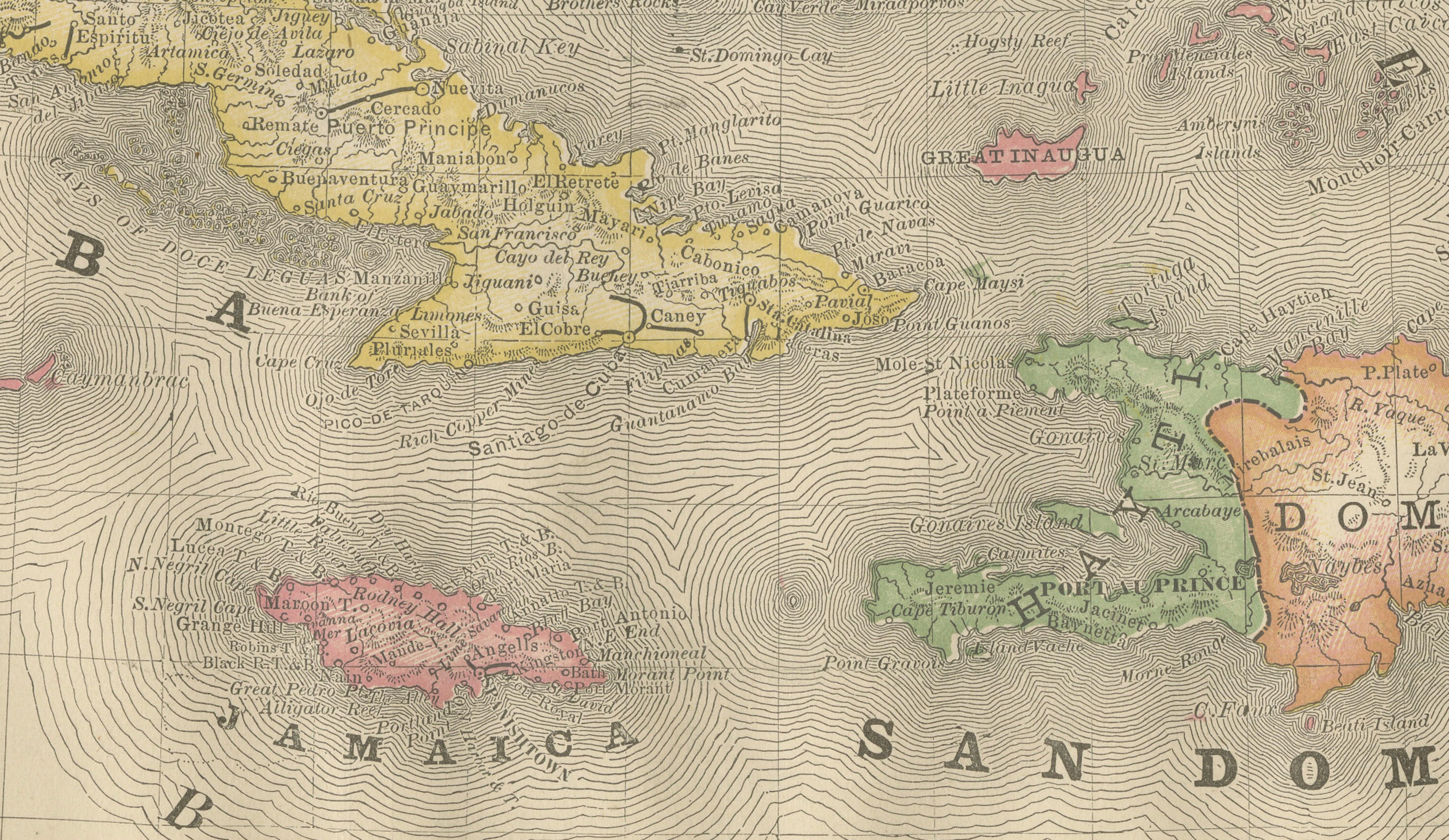
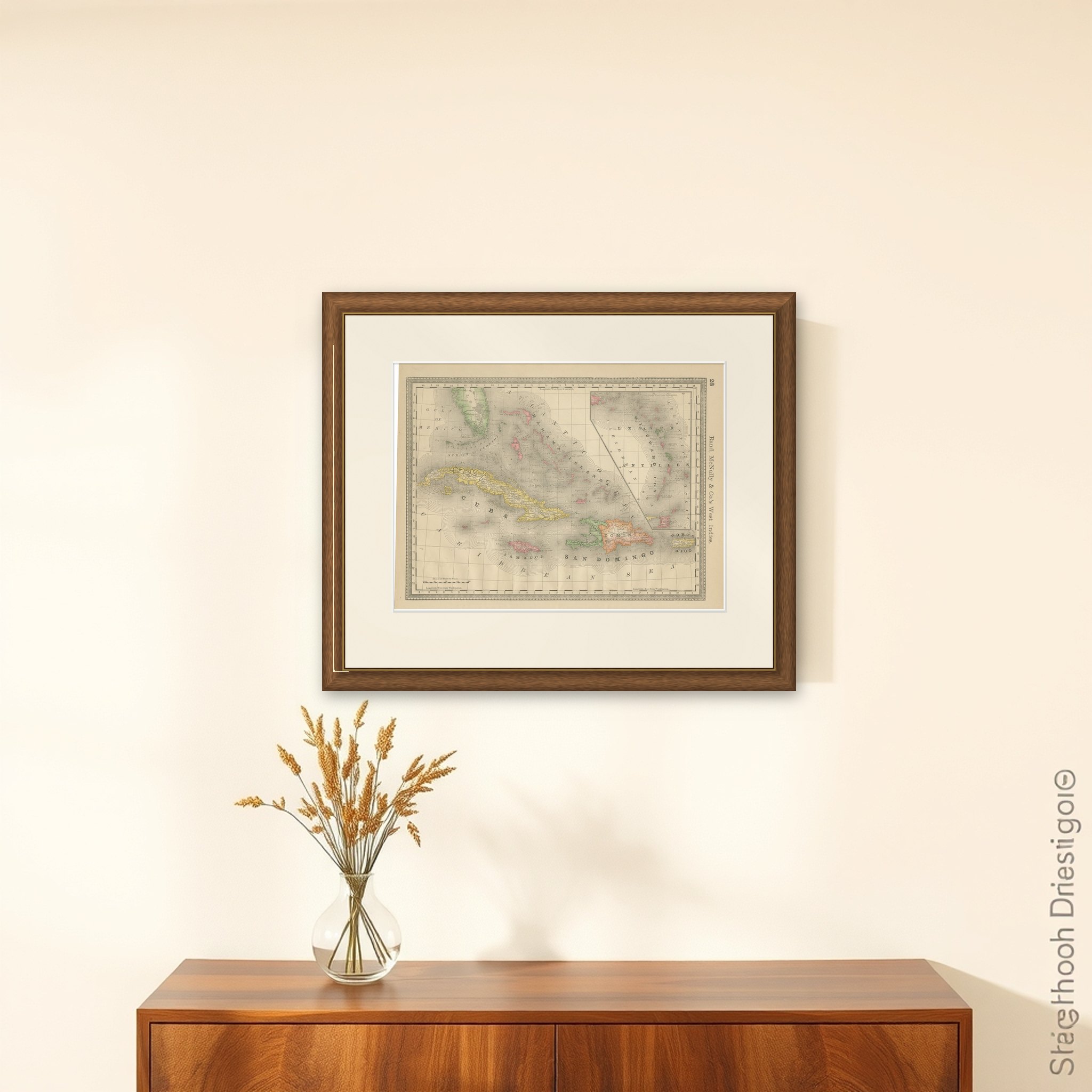
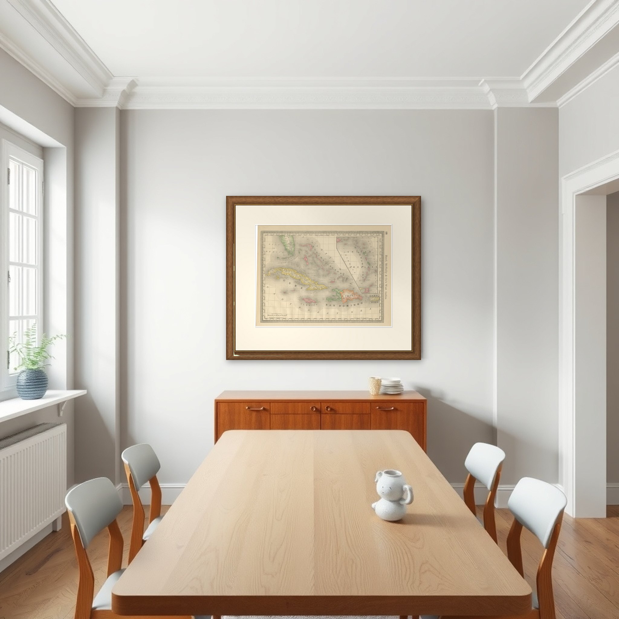
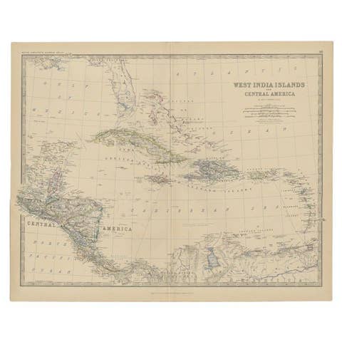
The West Indies from Florida to the Lesser Antilles on a page of Rand, McNally and Co.'s atlas, lettered "Rand, McNally & Co.'s West Indies" and numbered 28. The sheet is printed in black with the islands and territories outlined in color, c.1888.
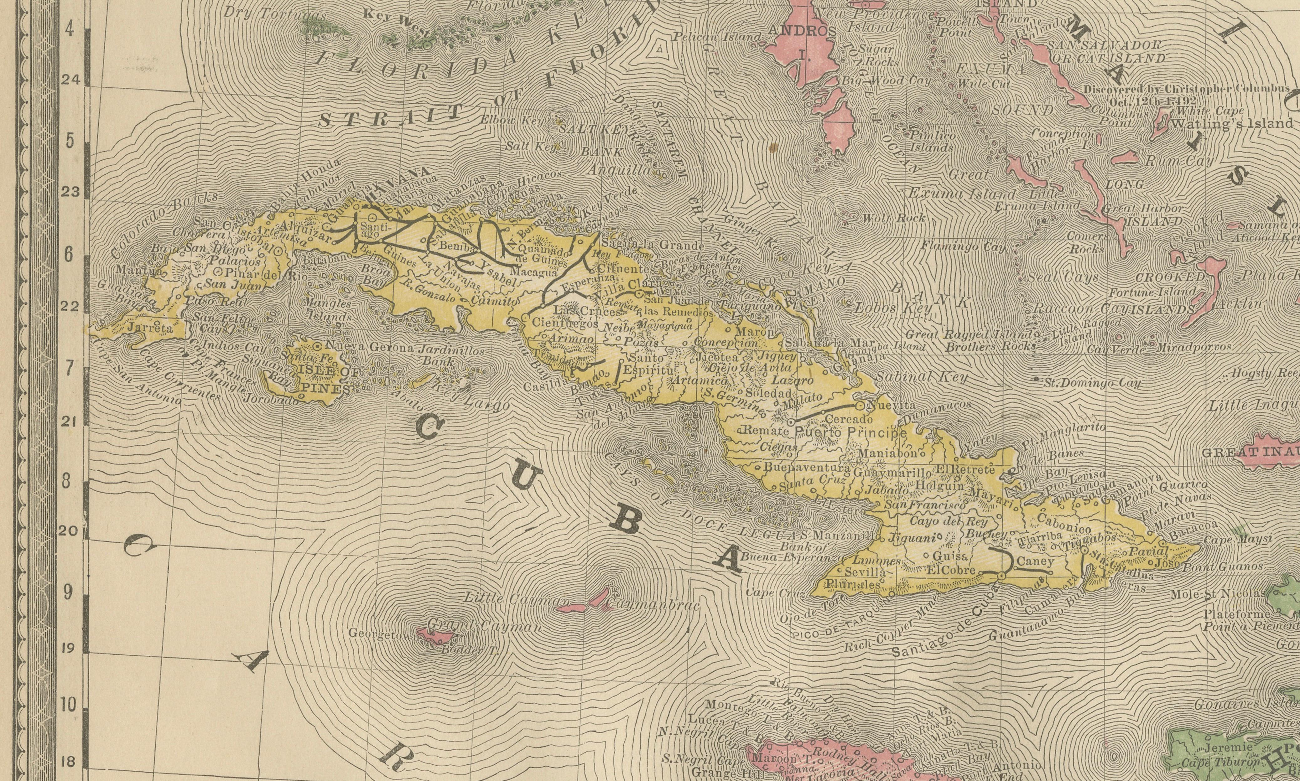
Cuba spreads across the center in yellow, with Jamaica in pink below it, and Hispaniola at the right, where Haiti in green and Santo Domingo in orange are lettered "San Domingo" and "Dominica." Puerto Rico lies at the right edge in yellow ("Porto Rico"), and the Bahama Islands scatter across the upper center beneath the southern tip of Florida at the top left. The Gulf of Mexico, the Straits of Florida, the Atlantic Ocean and the Caribbean Sea are lettered across the open water, and fine shading lines mark the depth along the coasts. An inset at the upper right enlarges the Lesser Antilles, labeled "Antilles" and "Windward Islands," and includes Trinidad.
The sheet gives the colonial and national divisions of the Caribbean as they stood in the late 1880s, with Cuba and Puerto Rico still Spanish.