About this sheet
Antique Map Louisiana & Mississippi Valley — Florida Region, Bonne c.1780
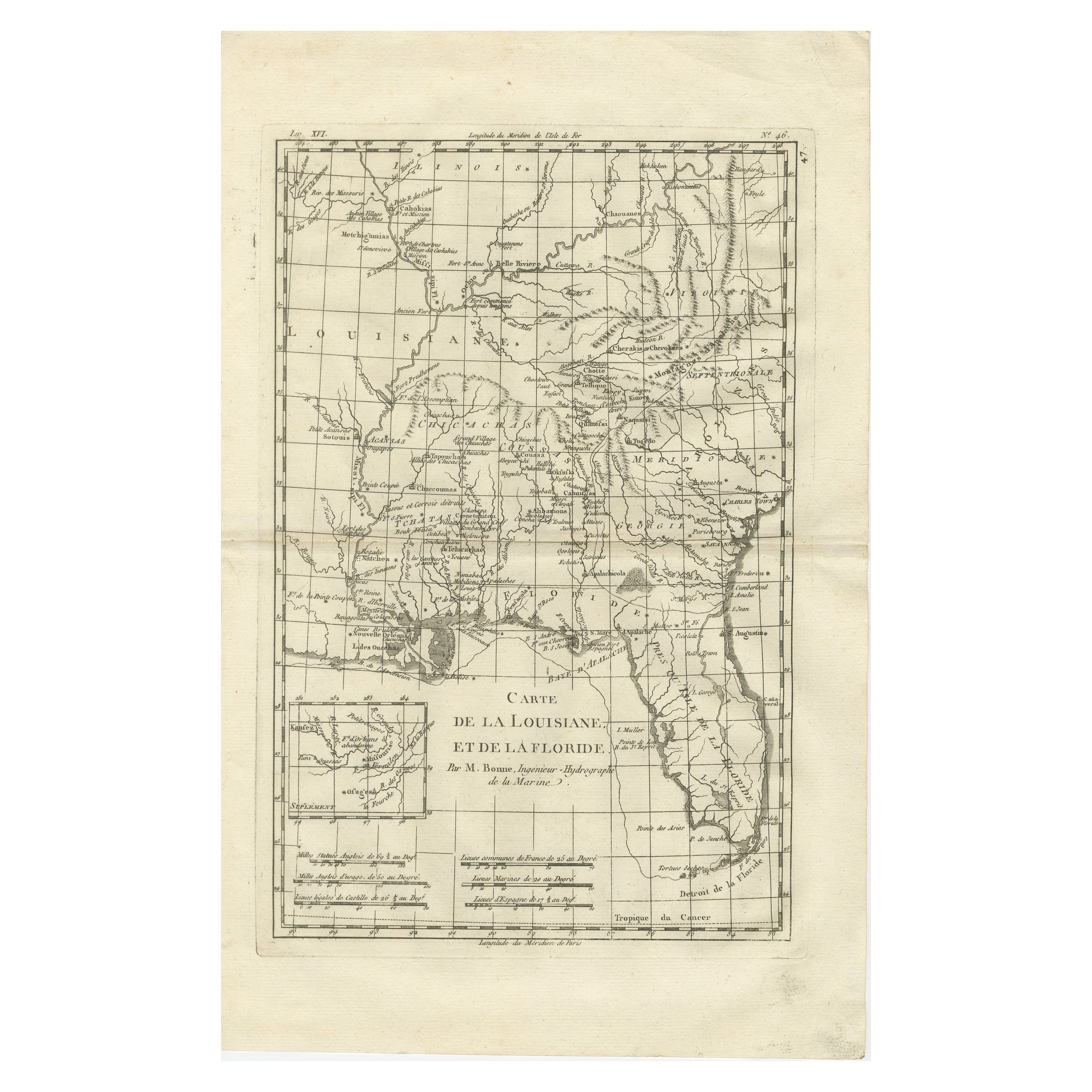
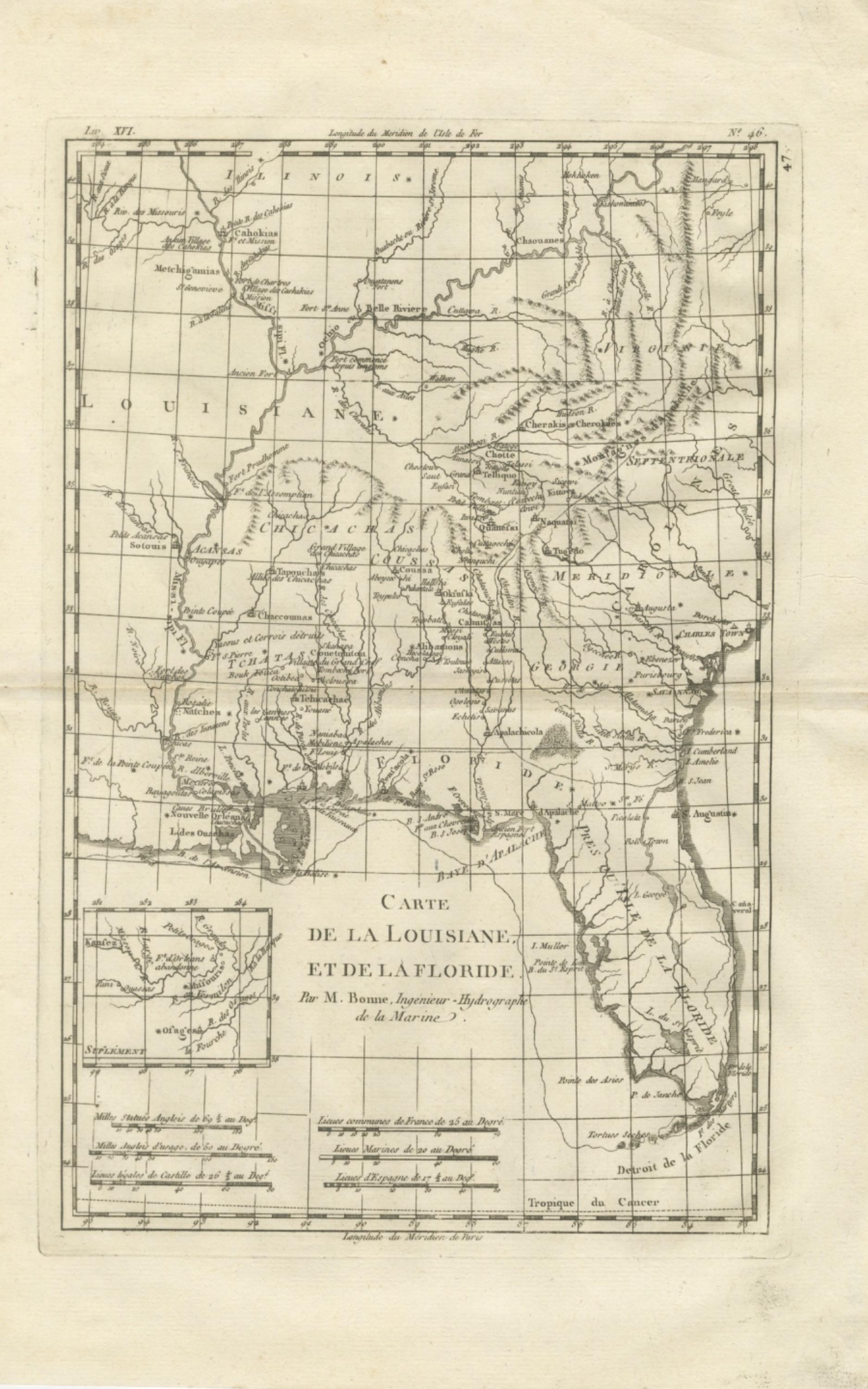
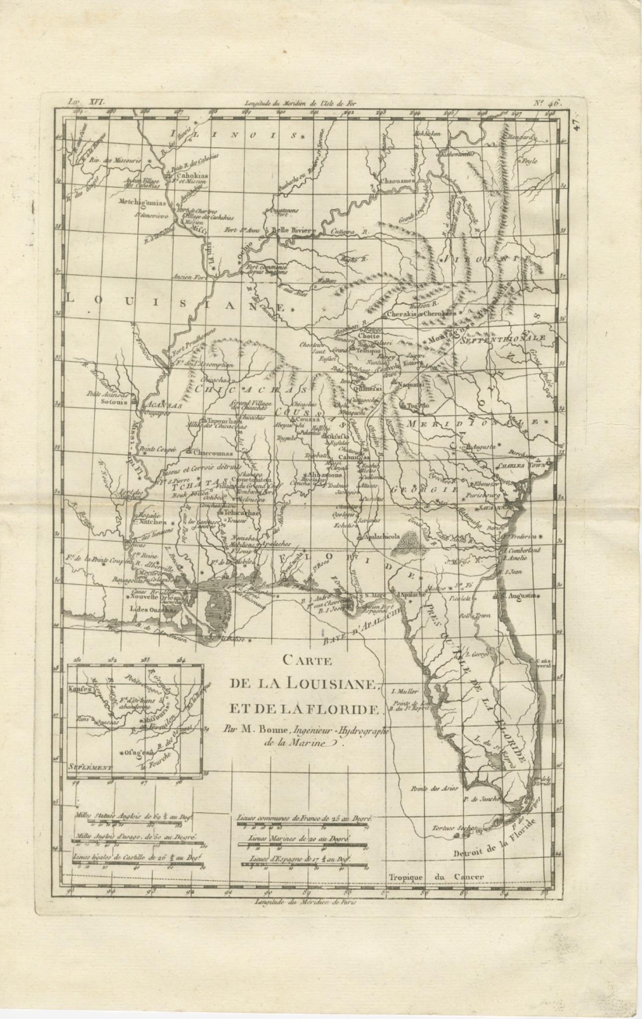
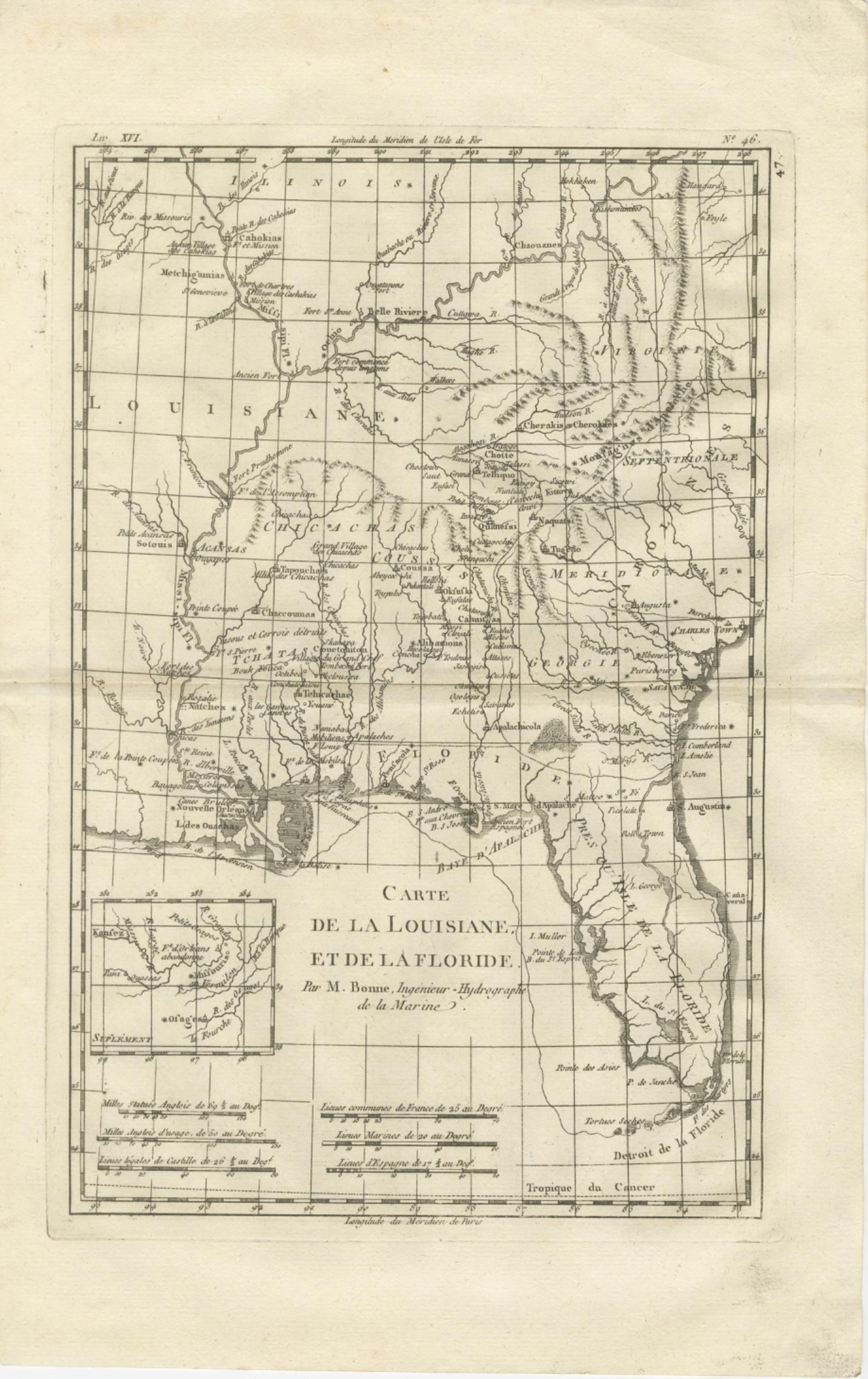
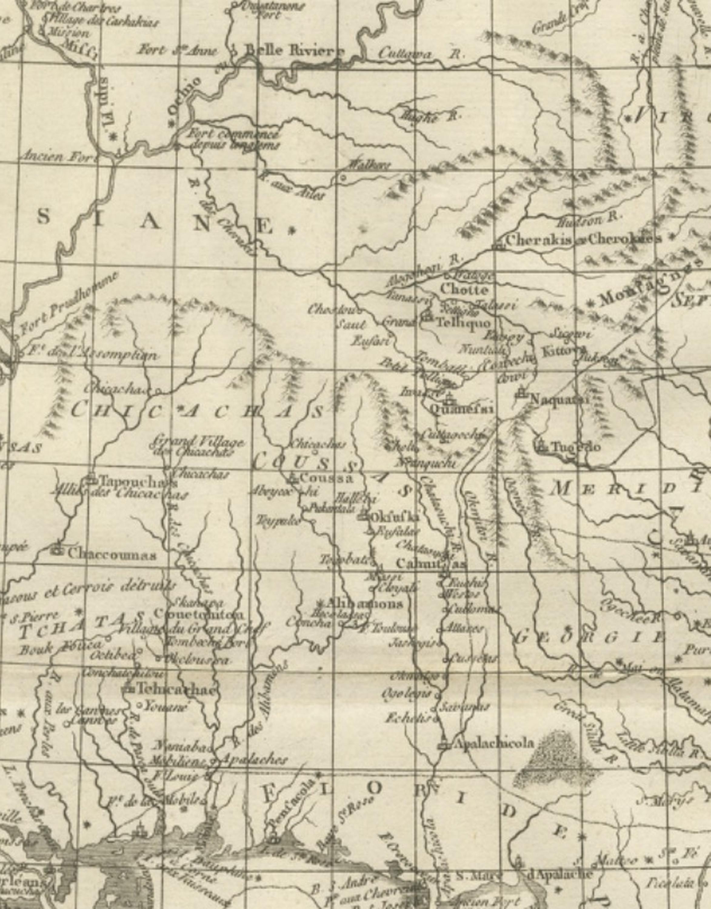
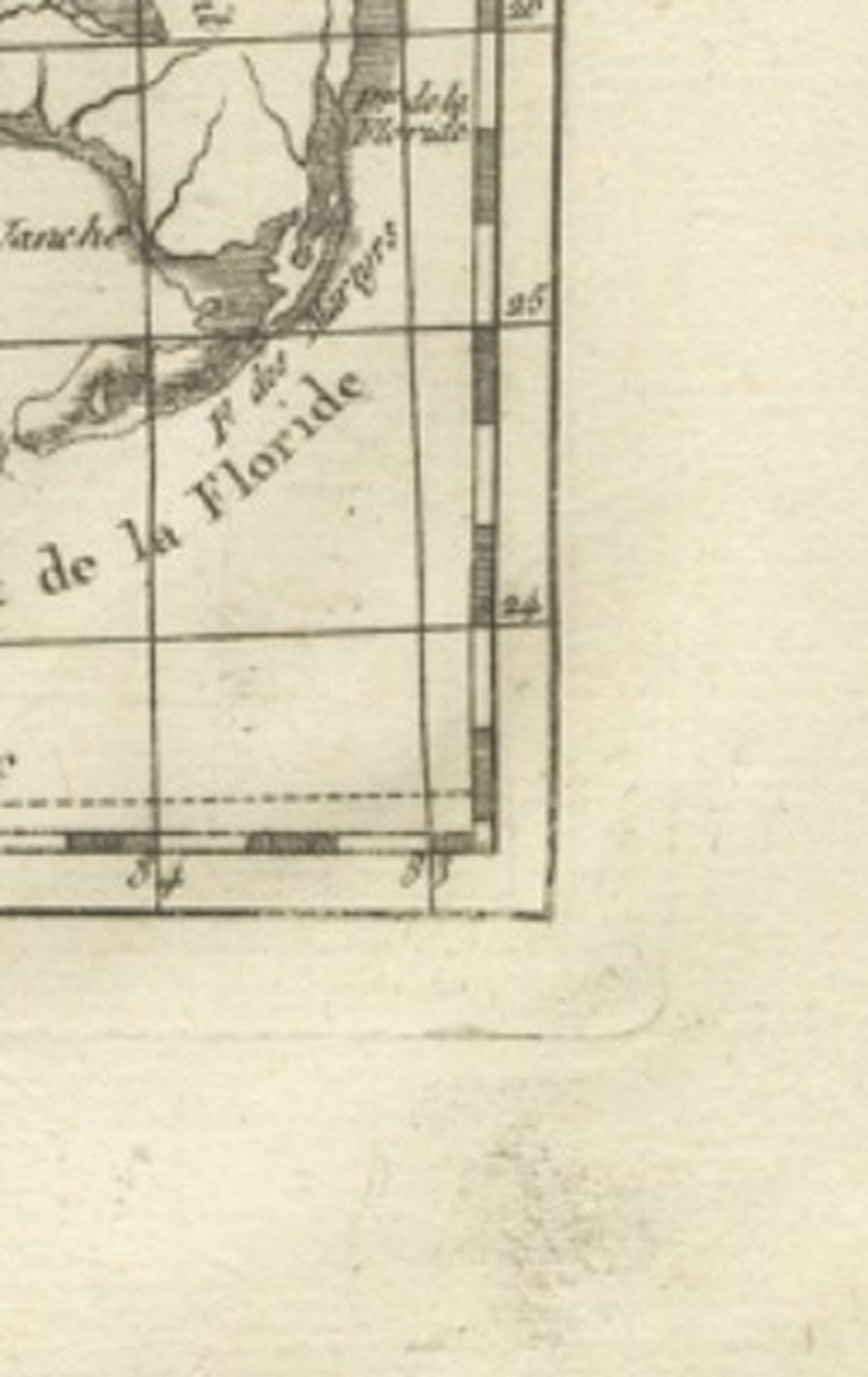
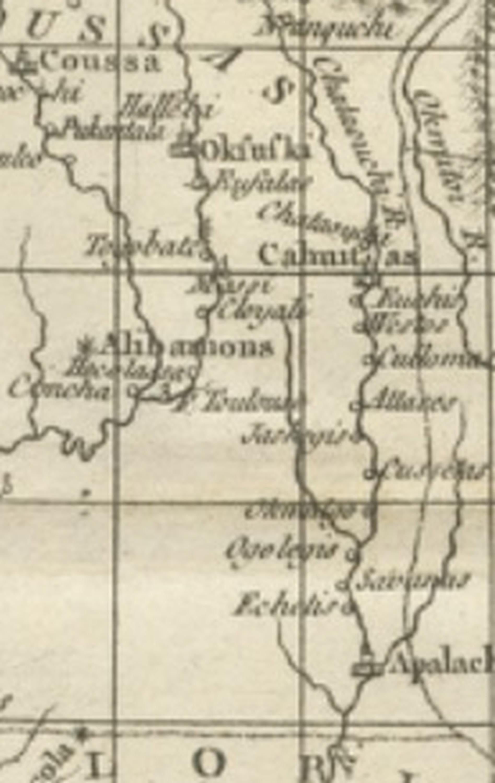
This finely engraved eighteenth-century map of Louisiana and Florida by Rigobert Bonne represents a significant example of Enlightenment-era cartography focused on the southeastern regions of North America. Engraved circa 1780, the map reflects Bonne’s influential role as Ingénieur-Hydrographe de la Marine and chief cartographer at the Dépôt de la Marine in Paris, where he succeeded Jacques-Nicolas Bellin and advanced a more scientific and systematic approach to mapping. His work marked a shift away from ornate decorative cartouches toward clarity, precise geographic information, and standardized measurement, qualities fully evident in this composition.
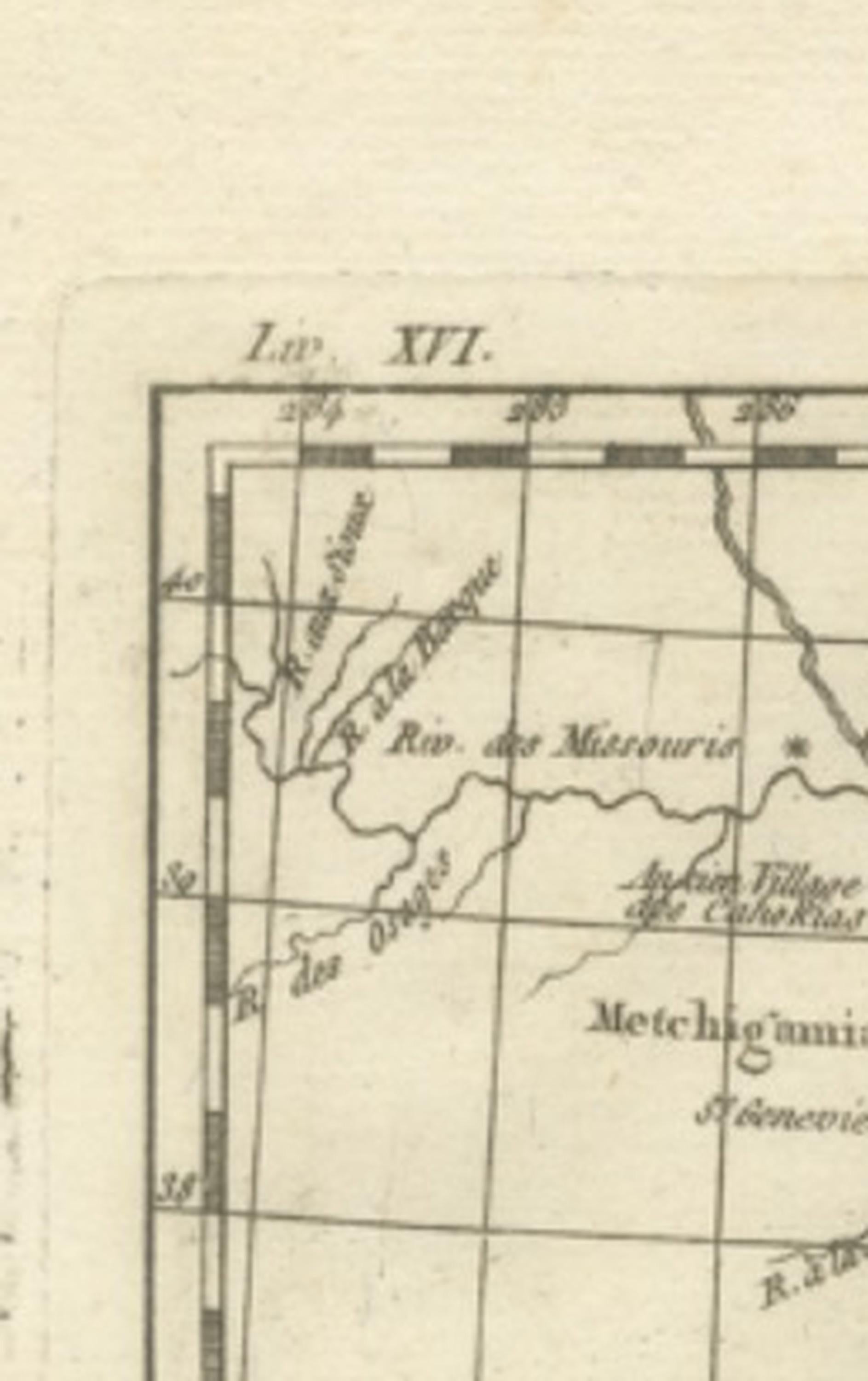
Titled “Carte de la Louisiane et de la Floride,” the map provides a detailed overview of the Mississippi River basin and adjacent territories extending from the Illinois country in the north to the Gulf of Mexico and Florida peninsula in the south. Major rivers, settlements, indigenous territories, and colonial regions are carefully delineated, reflecting contemporary European knowledge following decades of exploration and colonial rivalry between France, Spain, and Britain. The Mississippi River system is prominently rendered, emphasizing its strategic role in trade, exploration, and territorial control. Key locations such as New Orleans, Natchez, the Gulf Coast, and various tribal territories appear throughout the map, illustrating the complex political and geographic landscape of late eighteenth-century North America.
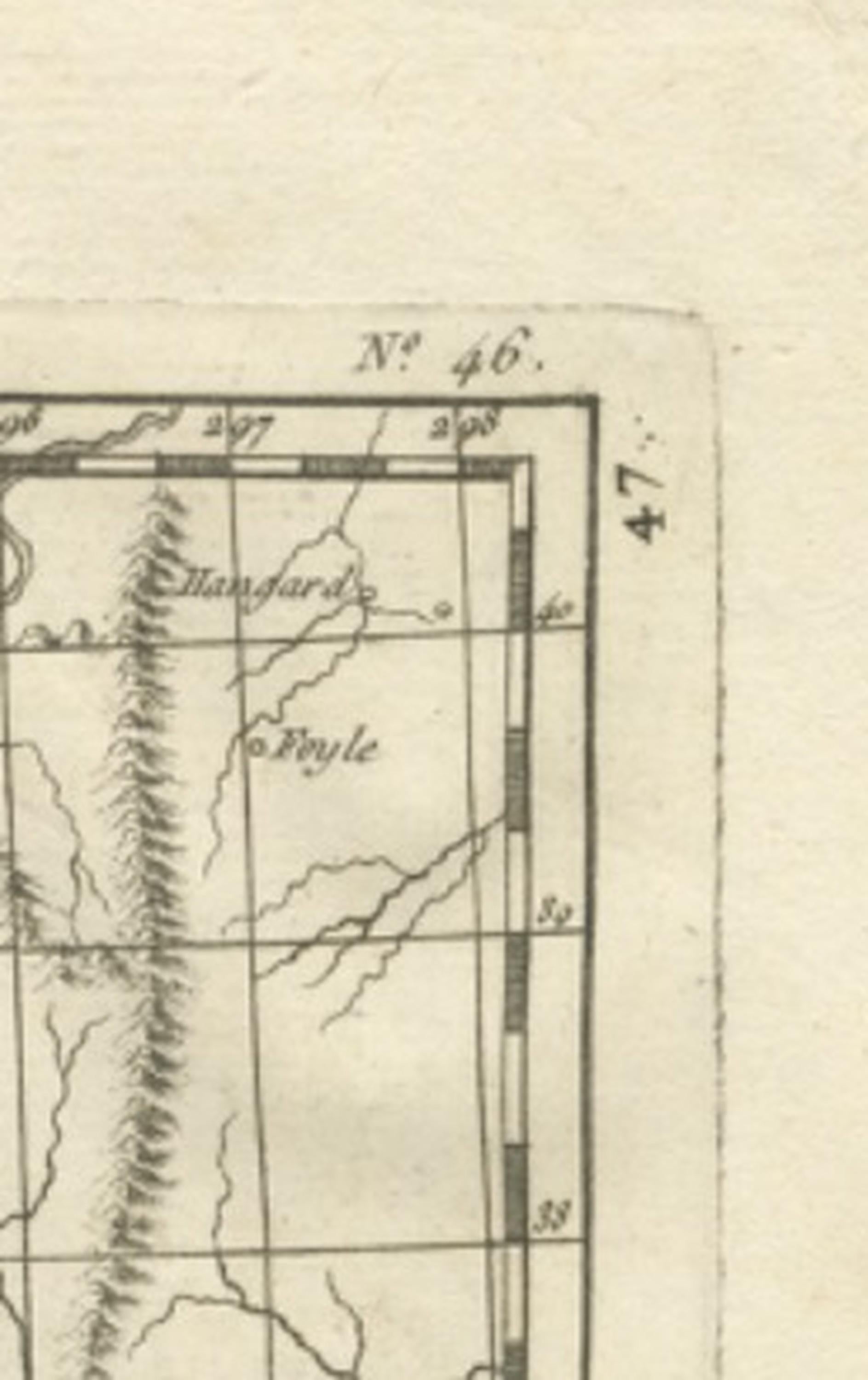
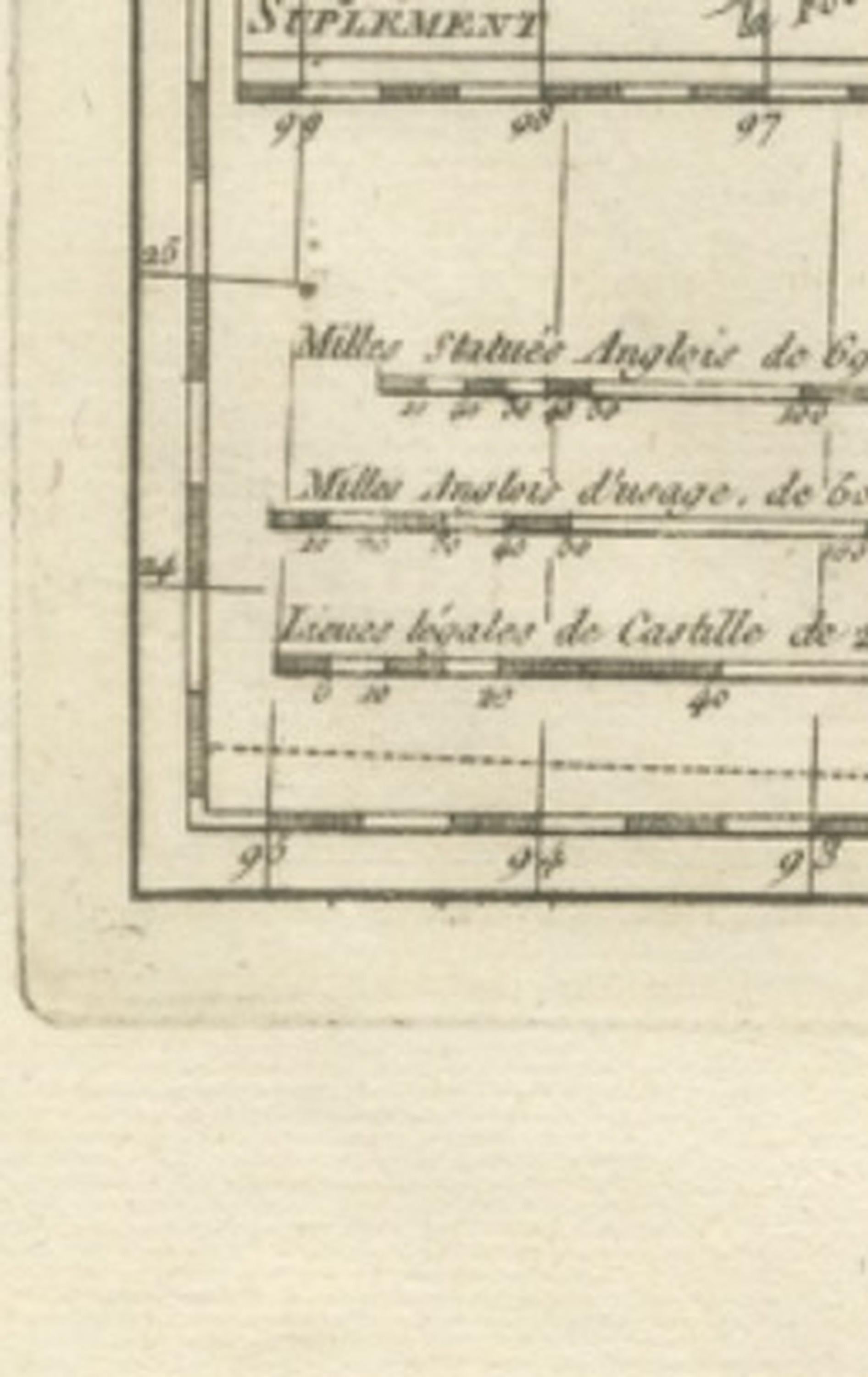
Bonne’s restrained engraving style enhances the map’s readability. Delicate hachuring indicates relief, while structured grid lines and refined typography reinforce the scientific clarity associated with Enlightenment mapping practices. The inclusion of an inset map adds geographic context and reflects the cartographer’s commitment to comprehensive representation.
As part of Bonne’s mature output, this map appeals both to collectors of early American cartography and to those interested in historical depictions of the Mississippi Valley and Gulf Coast. Its vertical format makes it especially suitable for decorative display, while its historical significance underscores its importance within the evolution of European geographic knowledge.
Condition report: Good antique condition with age-related toning, visible central fold as issued, light scattered spotting, and minor handling wear consistent with eighteenth-century paper; margins remain adequate for framing.
Framing tips: Particularly effective in a dark walnut or black frame with an ivory or warm off-white mat; the vertical orientation suits narrow wall spaces or pairs well with other Bonne maps for a cohesive gallery presentation.
Technique: Copperplate engraving
Maker: Rigobert Bonne, France, circa 1780
Keyword block: Louisiana antique map, Florida antique map, Mississippi River map antique, Rigobert Bonne map, French colonial North America map, Enlightenment cartography USA, Dépôt de la Marine map, 18th century America engraving, Gulf Coast historical map, Illinois country antique map, New Orleans antique map, Mississippi Valley map antique, Spanish Florida map antique, colonial America cartography, indigenous territories map North America, antique French engraving map, Bonne hydrographic chart, early American geography map, historical Gulf of Mexico map, decorative antique USA map.