Black Friday starts Friday 20 November: up to 30% off, plus free FedEx shipping on qualifying orders →
Orders placed from 15 to 30 November ship from 1 December, in time for Christmas. Our shipping partner: InXpress.
Maps & PrintsBartele Gallery · Langweer

maps-prints.com

✦

Black Friday Sale

Friday 20 to Monday 30 November: up to 30% off original antique maps and prints

Follow your favourite collections

Optional: receive a weekly selection of new arrivals from the collections you love.

You can change your choices or unsubscribe at any time.

The terms

  • Up to 30% off selected original antique maps and prints. Every piece is an original, printed in its own time; none is a reproduction.
  • The sale runs from Friday 20 November to Monday 30 November. Sale prices shown here apply from Friday 20 November; until then pieces are sold at their regular price.
  • Free FedEx shipping on qualifying orders placed on our own websites: USA, Canada, UK and Europe over $500 / €450; rest of the world over $750 / €675. Smaller orders pay our normal shipping rate.
  • Orders placed from 15 to 30 November ship from 1 December, in time for Christmas. Our shipping partner is InXpress.
  • Each piece is unique, so the sale is while stock lasts.

Sale prices apply from Friday 20 November. Save the pieces you like with the heart and come back on Friday.
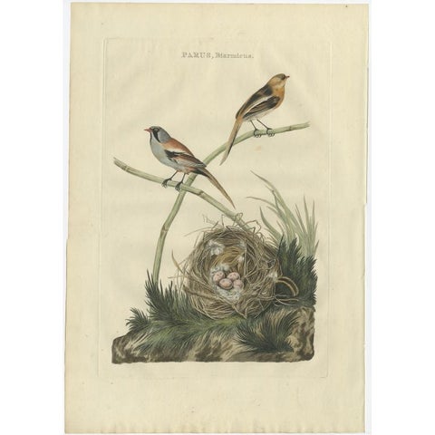
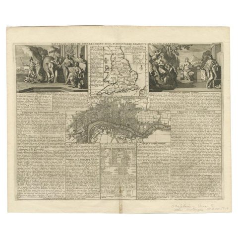
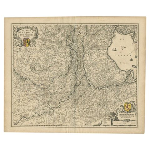
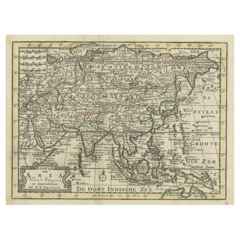
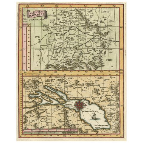
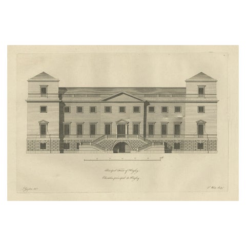
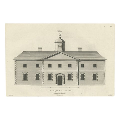
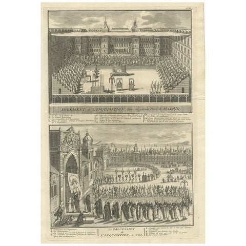
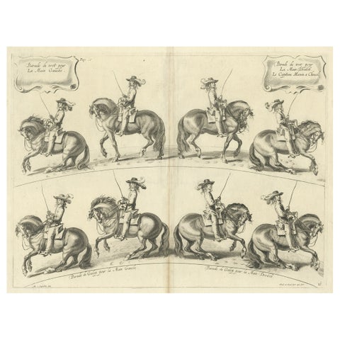
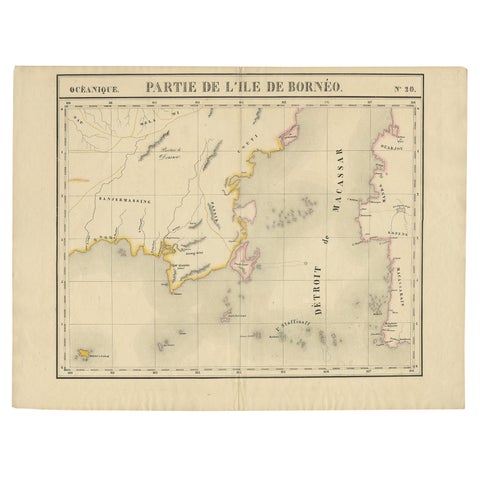
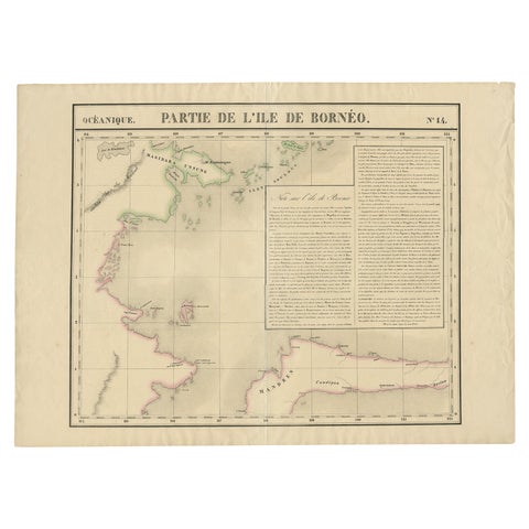
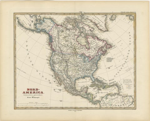
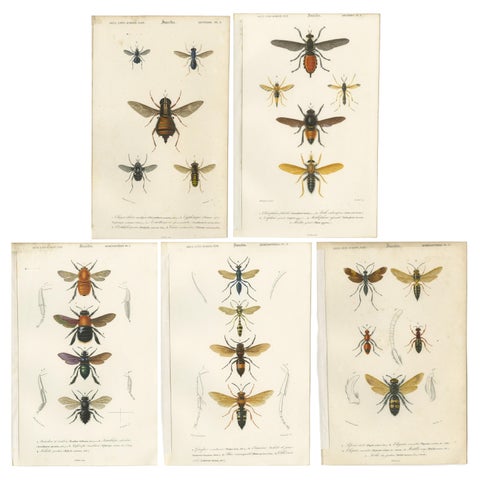
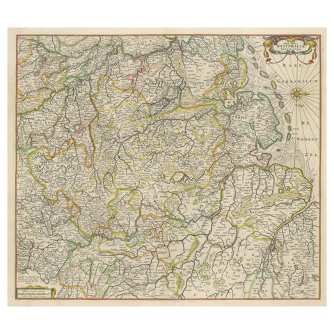
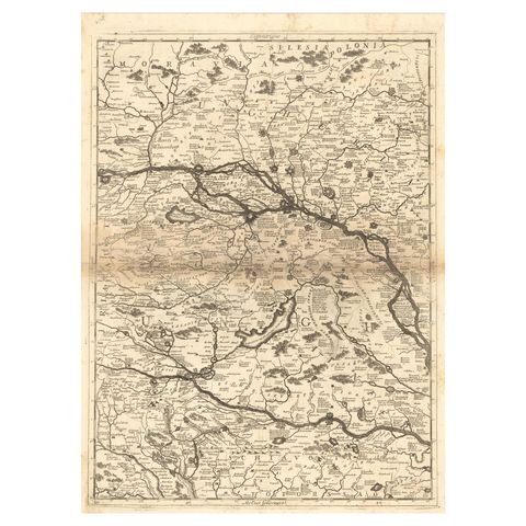
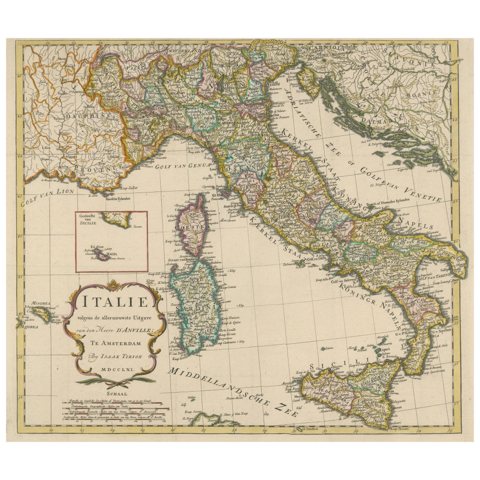
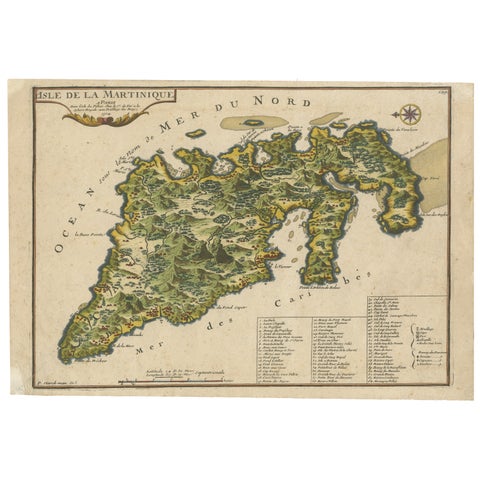
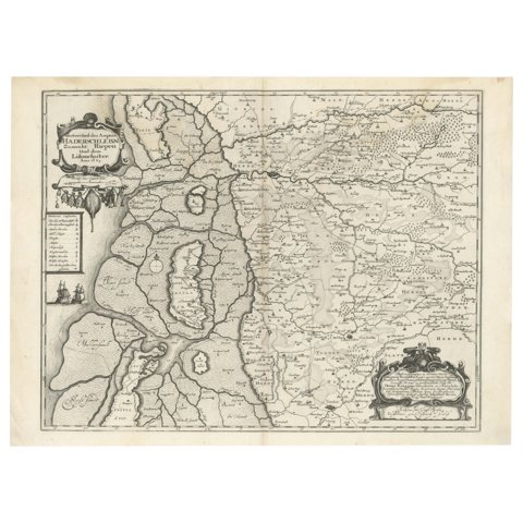
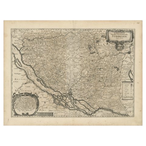
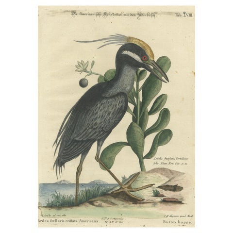
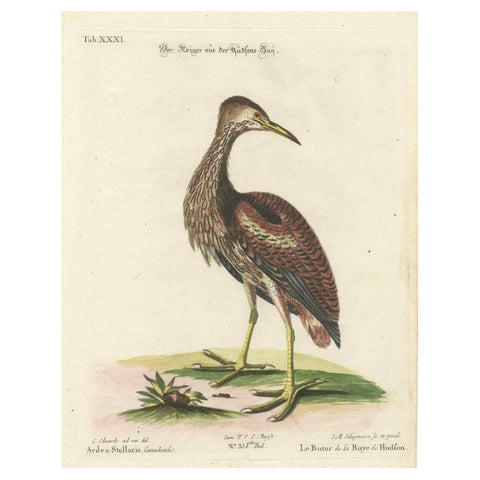
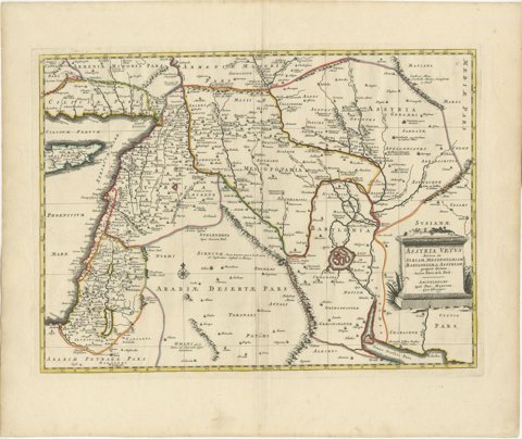
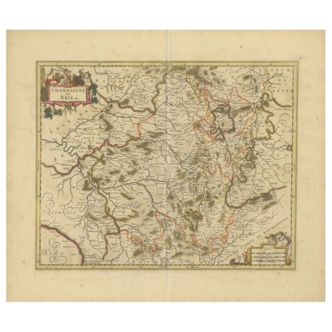
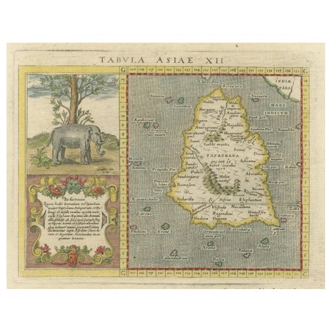
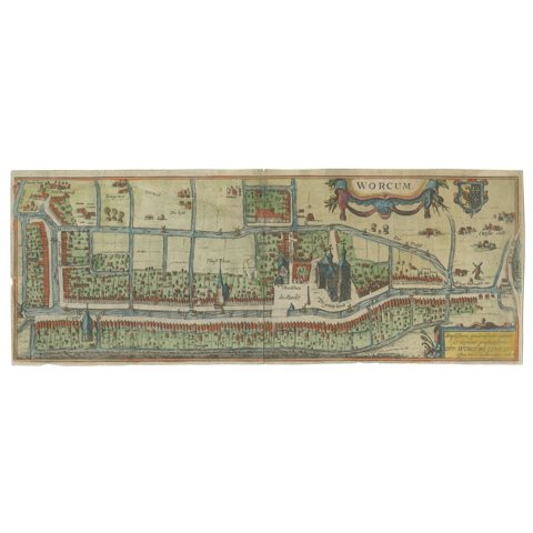
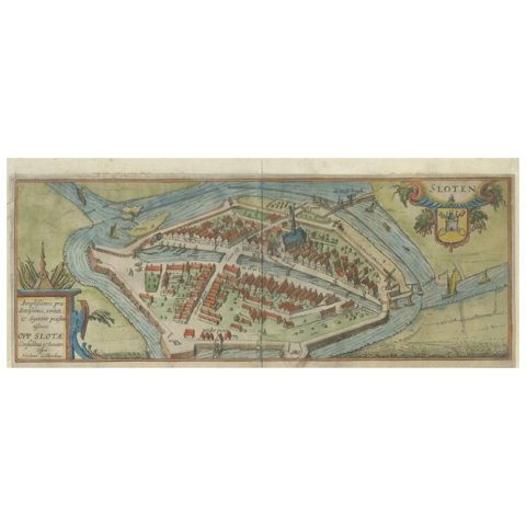
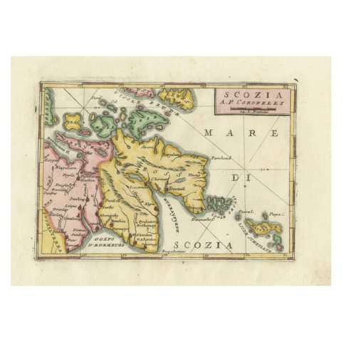
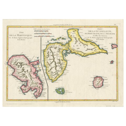
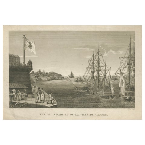
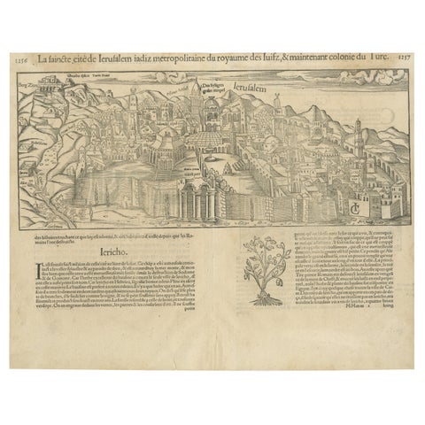
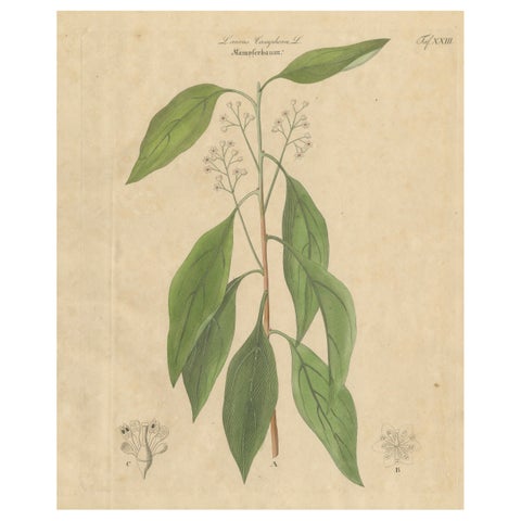
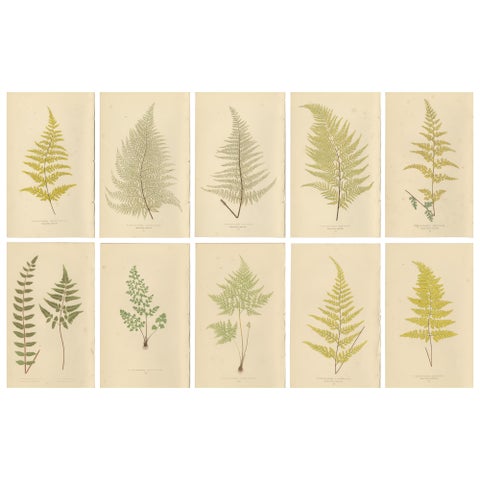
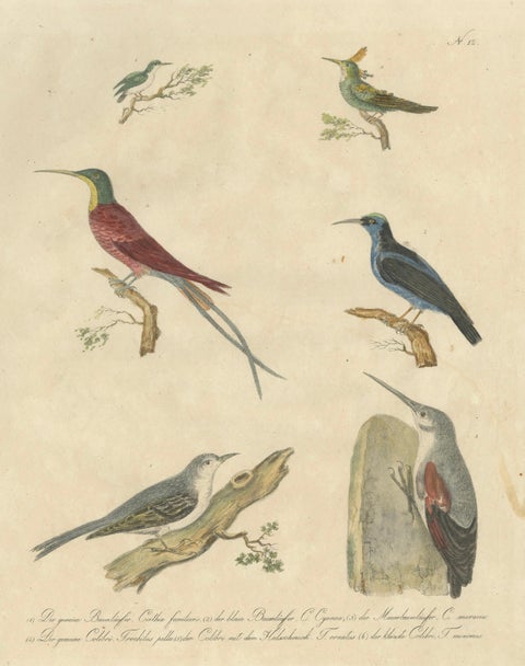
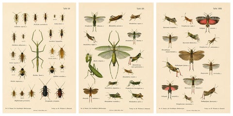
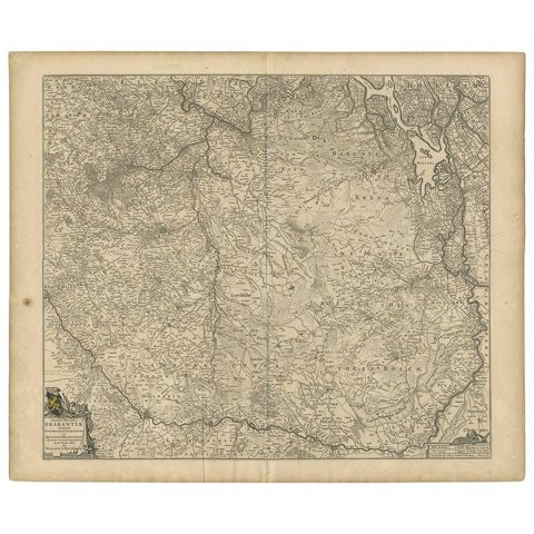
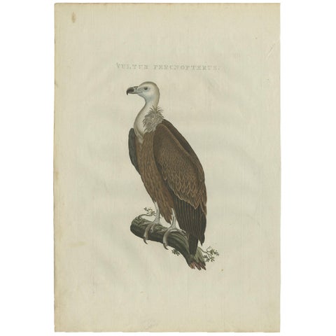
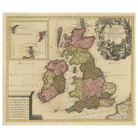
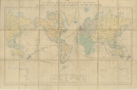
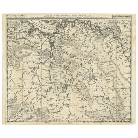
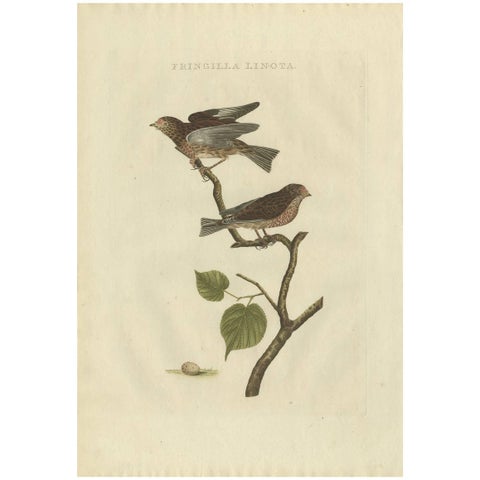
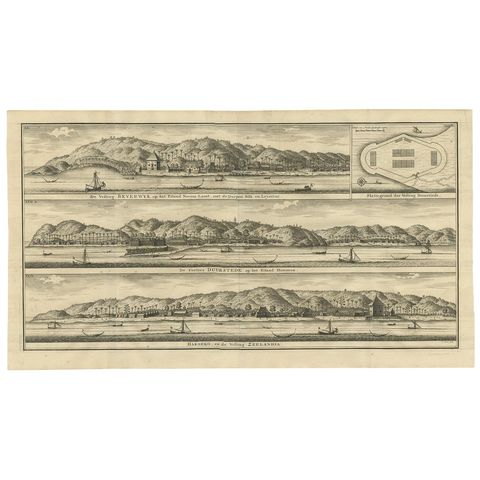
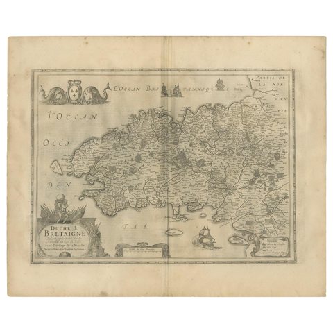
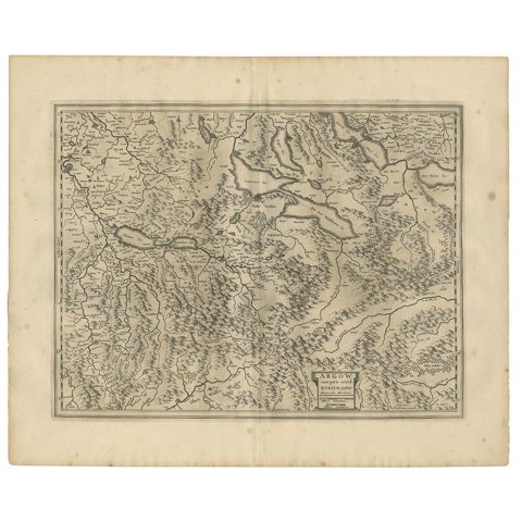
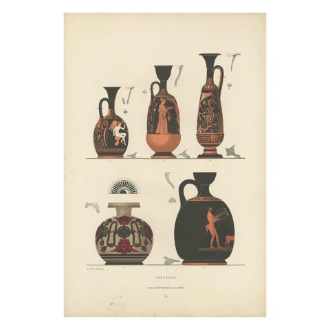
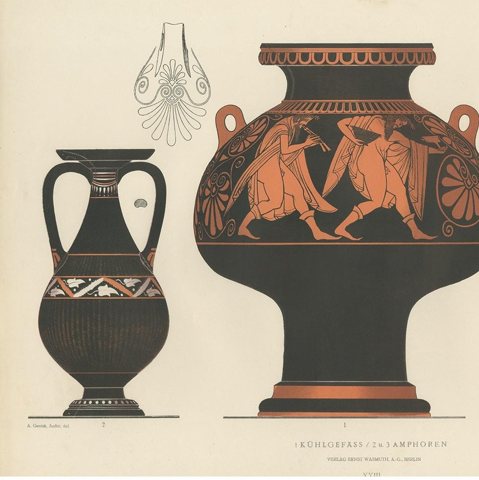
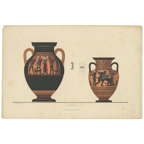
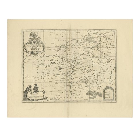
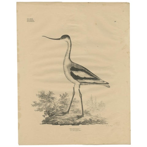
Antique Bird Print of The Reedling by Sepp & Nozeman, 1770Antique Bird Print of The Reedling by Sepp & Nozeman, 1770$680 $475 30% offfrom Friday 20 NovemberAntique Map of England and London with Two Large Allegorical Views, c.1720Antique Map of England and London with Two Large Allegorical Views, c.1720$680 $475 30% offfrom Friday 20 NovemberAntique Map of the Dutch Province of Gelderland by Visscher, c.1670Antique Map of the Dutch Province of Gelderland by Visscher, c.1670$680 $475 30% offfrom Friday 20 NovemberRare Hand-Colored Antique Map of Asia, 1788Rare Hand-Colored Antique Map of Asia, 1788$680 $475 30% offfrom Friday 20 NovemberMap of the Electorate of Bavaria, Incl Lake Constance, by Jesuit Scherer, c.1700Map of the Electorate of Bavaria, Incl Lake Constance, by Jesuit Scherer, c.1700$680 $475 30% offfrom Friday 20 NovemberAntique Print of Hagley Hall in Worcestershire, England, ca.1770Antique Print of Hagley Hall in Worcestershire, England, ca.1770$680 $475 30% offfrom Friday 20 NovemberAntique Print of the Stables of Lathom House in Lancashire, England, c.1770Antique Print of the Stables of Lathom House in Lancashire, England, c.1770$680 $475 30% offfrom Friday 20 NovemberAntique Print of Spanish Inquisitions in Madrid and Goa by Picart, 1723Antique Print of Spanish Inquisitions in Madrid and Goa by Picart, 1723$680 $475 30% offfrom Friday 20 NovemberDecorative Antique Print of the Schooling of Horses in Galop, c.1740Decorative Antique Print of the Schooling of Horses in Galop, c.1740$680 $475 30% offfrom Friday 20 NovemberAntique Map of Part of Borneo 'Kalimantan' Indonesia, by Vandermaelen, C.1825Antique Map of Part of Borneo 'Kalimantan' Indonesia, by Vandermaelen, C.1825$680 $475 30% offfrom Friday 20 NovemberAntique Map of Part of Borneo 'Kalimantan' Indonesia by Vandermaelen, C.1825Antique Map of Part of Borneo 'Kalimantan' Indonesia by Vandermaelen, C.1825$680 $475 30% offfrom Friday 20 NovemberAntique Map with Hand Coloring of North America and the West IndiesAntique Map with Hand Coloring of North America and the West Indies$680 $475 30% offfrom Friday 20 NovemberSet of Five Antique Prints of Flies and Hymenoptera Insects, 1861Set of Five Antique Prints of Flies and Hymenoptera Insects, 1861$680 $475 30% offfrom Friday 20 NovemberAntique Map of Westphalia, West OrientationAntique Map of Westphalia, West Orientation$680 $475 30% offfrom Friday 20 NovemberOld Map Showing Info Related to the Ottoman Wars including Conflict Dates, c1690Old Map Showing Info Related to the Ottoman Wars including Conflict Dates, c1690$680 $475 30% offfrom Friday 20 NovemberDetailed Antique Map of Italy and surrounding Islands, 1761Detailed Antique Map of Italy and surrounding Islands, 1761$680 $475 30% offfrom Friday 20 NovemberL'isle De La Martinique Caribbean Copper Engraving Original Handcoloring, 1704L'isle De La Martinique Caribbean Copper Engraving Original Handcoloring, 1704$685 $480 30% offfrom Friday 20 NovemberThe 1649 Haderschleben Map of Western Jutland and North Sea IslandsThe 1649 Haderschleben Map of Western Jutland and North Sea Islands$680 $475 30% offfrom Friday 20 NovemberMapping Stormarn: Johannes Meier's 1650 Cartographic MasterpieceMapping Stormarn: Johannes Meier's 1650 Cartographic Masterpiece$680 $475 30% offfrom Friday 20 NovemberHand-Colored Engraving of the American Crested Bittern by Seligmann, ca.1770Hand-Colored Engraving of the American Crested Bittern by Seligmann, ca.1770$680 $475 30% offfrom Friday 20 NovemberHand-Colored Engraving of the Hudson Bay Heron by Johann Michael Seligmann, 1770Hand-Colored Engraving of the Hudson Bay Heron by Johann Michael Seligmann, 1770$680 $475 30% offfrom Friday 20 NovemberOld Map of Ancient Assyria Divided into Syria, Mesopotamia, Babylonia & AssyriaOld Map of Ancient Assyria Divided into Syria, Mesopotamia, Babylonia & Assyria$680 $475 30% offfrom Friday 20 NovemberRare Hand-Colored Map of Champagne and Brie, France, by Frederik De Wit c. 1688Rare Hand-Colored Map of Champagne and Brie, France, by Frederik De Wit c. 1688$680 $475 30% offfrom Friday 20 November1621 Ptolemy & Magini Map of Taprobana (Sumatra) with Elephant Inset1621 Ptolemy & Magini Map of Taprobana (Sumatra) with Elephant Inset$680 $475 30% offfrom Friday 20 NovemberDutch City Plan of Workum in Friesland by N. Van Geelkercken, hand-colored 1616Dutch City Plan of Workum in Friesland by N. Van Geelkercken, hand-colored 1616$680 $475 30% offfrom Friday 20 NovemberDutch City Plan of Sloten in Friesland by N. Van Geelkercken, hand-colored 1616Dutch City Plan of Sloten in Friesland by N. Van Geelkercken, hand-colored 1616$680 $475 30% offfrom Friday 20 NovemberScozia – Antique Map of Scotland by Coronelli, circa 1690Scozia – Antique Map of Scotland by Coronelli, circa 1690$680 $475 30% offfrom Friday 20 NovemberMap of Martinique, Guadeloupe, Marie-Galante, Désirade & Saintes by Bonne, 1788Map of Martinique, Guadeloupe, Marie-Galante, Désirade & Saintes by Bonne, 1788$680 $475 30% offfrom Friday 20 NovemberView of the Harbor of Cannes – Engraving by Dubois after Courvoisier, 1784View of the Harbor of Cannes – Engraving by Dubois after Courvoisier, 1784$680 $475 30% offfrom Friday 20 NovemberJerusalem, Holy City View – Early Renaissance Woodcut, c.1560Jerusalem, Holy City View – Early Renaissance Woodcut, c.1560$680 $475 30% offfrom Friday 20 NovemberAntique Camphor Botanical Print, Laurus Camphora, Hand Colored, c.1831Antique Camphor Botanical Print, Laurus Camphora, Hand Colored, c.1831$680 $475 30% offfrom Friday 20 NovemberAntique Victorian Fern Botanical Prints, Gymnogramma Plates Wall Art 1856Antique Victorian Fern Botanical Prints, Gymnogramma Plates Wall Art 1856$680 $475 30% offfrom Friday 20 NovemberAntique Hummingbirds & Treecreepers Lithograph by Karl Joseph Brodtmann, 1816Antique Hummingbirds & Treecreepers Lithograph by Karl Joseph Brodtmann, 1816$680 $475 30% offfrom Friday 20 NovemberMantis, Stick Insects & Grasshoppers – Antique Prints, Set of 3, 1908Mantis, Stick Insects & Grasshoppers – Antique Prints, Set of 3, 1908$680 $475 30% offfrom Friday 20 NovemberAntique Map of Brabant 'The Netherlands' by N. Visscher, circa 1670Antique Map of Brabant 'The Netherlands' by N. Visscher, circa 1670$680 $475 30% offfrom Friday 20 NovemberAntique Bird Print of a Vulture by Sepp & Nozeman, 1770Antique Bird Print of a Vulture by Sepp & Nozeman, 1770$670 $470 30% offfrom Friday 20 NovemberRare Hand-colored Map of the British Isles by Gerard Valk, Published circa 1700Rare Hand-colored Map of the British Isles by Gerard Valk, Published circa 1700$670 $470 30% offfrom Friday 20 NovemberWorld Mail and Passenger Routes to New Zealand, 1883World Mail and Passenger Routes to New Zealand, 1883$670 $470 30% offfrom Friday 20 NovemberAntique Map of Brabant 'The Netherlands' by N. Visscher, circa 1690Antique Map of Brabant 'The Netherlands' by N. Visscher, circa 1690$660 $460 30% offfrom Friday 20 NovemberFringilla Linota – Common Linnet, Hand-Coloured Engraving by Nozeman, 1770–1829Fringilla Linota – Common Linnet, Hand-Coloured Engraving by Nozeman, 1770–1829$660 $460 30% offfrom Friday 20 NovemberAntique Print of Fortifications in Indonesia by Valentijn '1726'Antique Print of Fortifications in Indonesia by Valentijn '1726'$660 $460 30% offfrom Friday 20 NovemberAntique Map of the Region of Bretagne by Janssonius '1657'Antique Map of the Region of Bretagne by Janssonius '1657'$660 $460 30% offfrom Friday 20 NovemberAntique Map of the Region of Aargau by Janssonius, '1657'Antique Map of the Region of Aargau by Janssonius, '1657'$660 $460 30% offfrom Friday 20 NovemberAntique Print of Greek Ceramics 'Lekythen' by Genick (1883)Antique Print of Greek Ceramics 'Lekythen' by Genick (1883)$660 $460 30% offfrom Friday 20 NovemberAntique Print of Greek Ceramics 'Kühlgefäss/Amphoren' by Genick, 1883Antique Print of Greek Ceramics 'Kühlgefäss/Amphoren' by Genick, 1883$660 $460 30% offfrom Friday 20 NovemberAntique Print of Greek Ceramics 'Amphoren' by Genick, 1883Antique Print of Greek Ceramics 'Amphoren' by Genick, 1883$660 $460 30% offfrom Friday 20 NovemberAntique Map of the Cambrai Region by Pitt, circa 1680Antique Map of the Cambrai Region by Pitt, circa 1680$660 $460 30% offfrom Friday 20 NovemberAntique Bird Print of the Pied Avocet by Goldfuss, circa 1824Antique Bird Print of the Pied Avocet by Goldfuss, circa 1824$660 $460 30% offfrom Friday 20 November

Sharing the sale? Download the Black Friday banners.

Your favorites

Saved in this browser. Email the list to yourself to keep it on any device.

We use your email to send this list and, only if you tick the box and confirm, for occasional new arrivals. Every email has an unsubscribe link. Bartele Gallery, the Netherlands.

Powered by SiteKeys