About this sheet
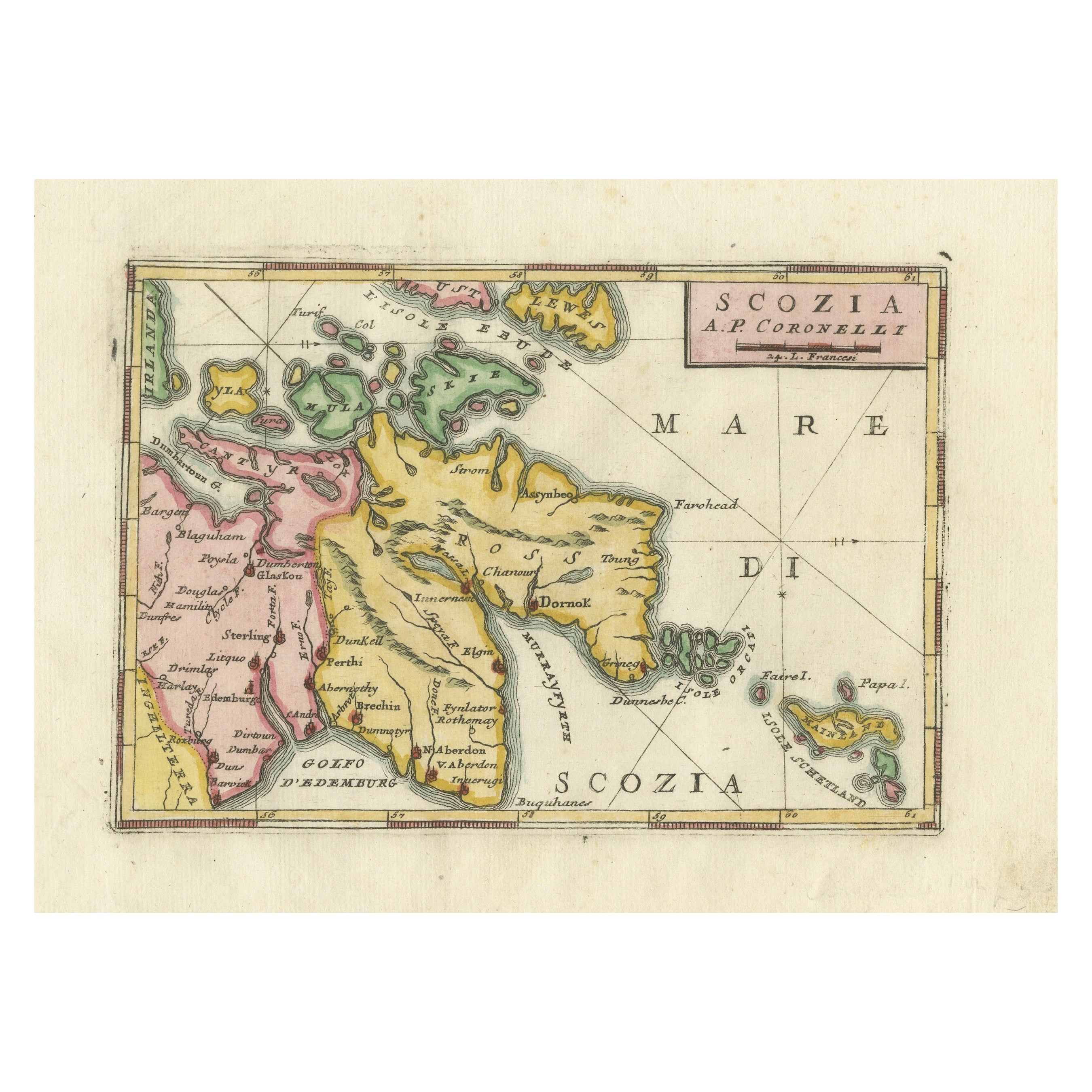
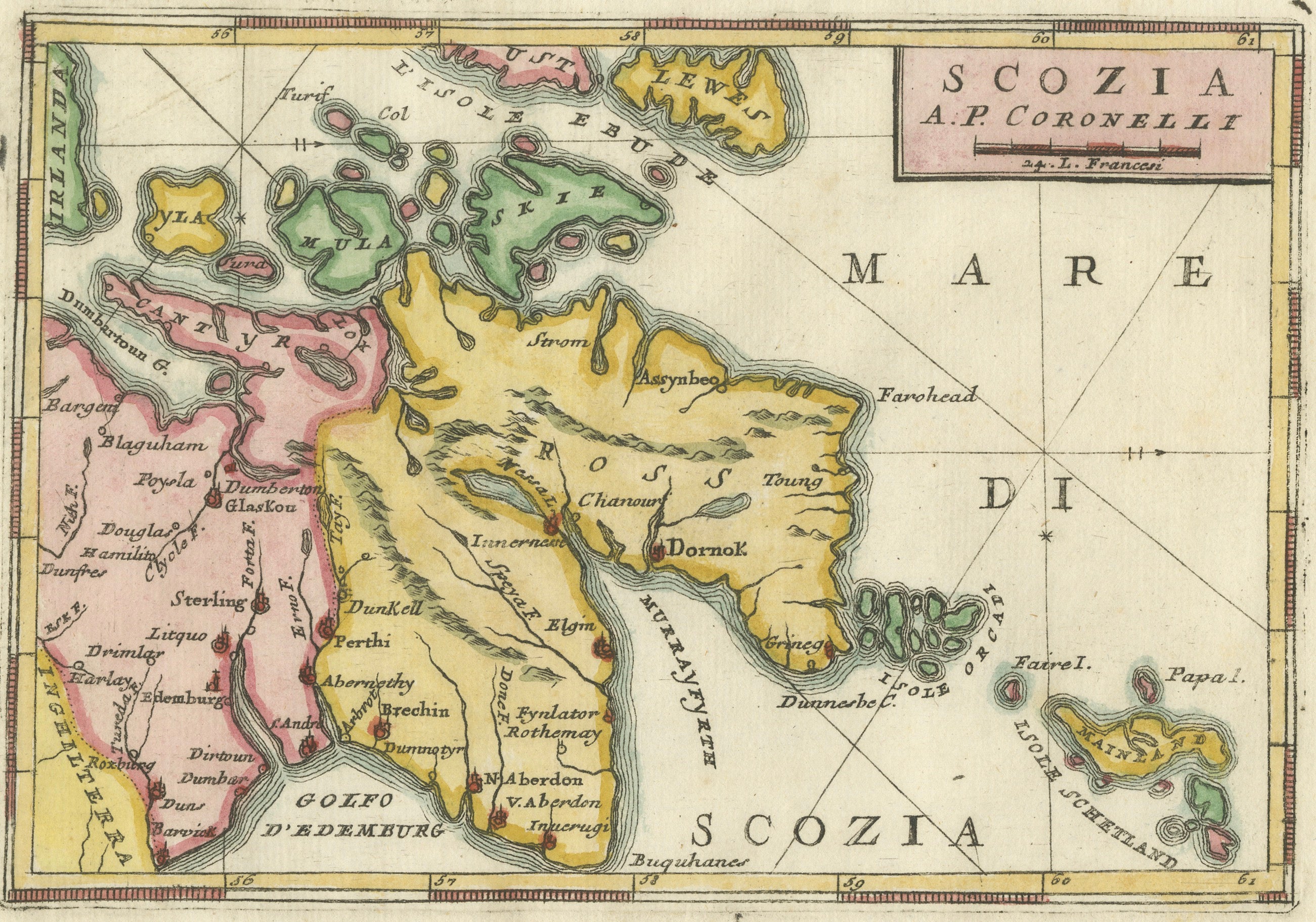
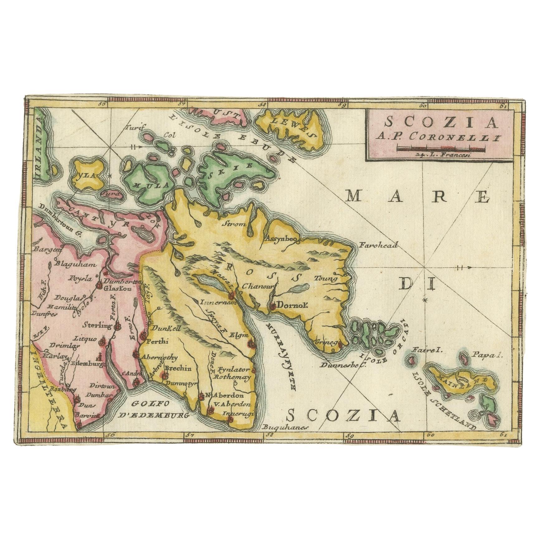
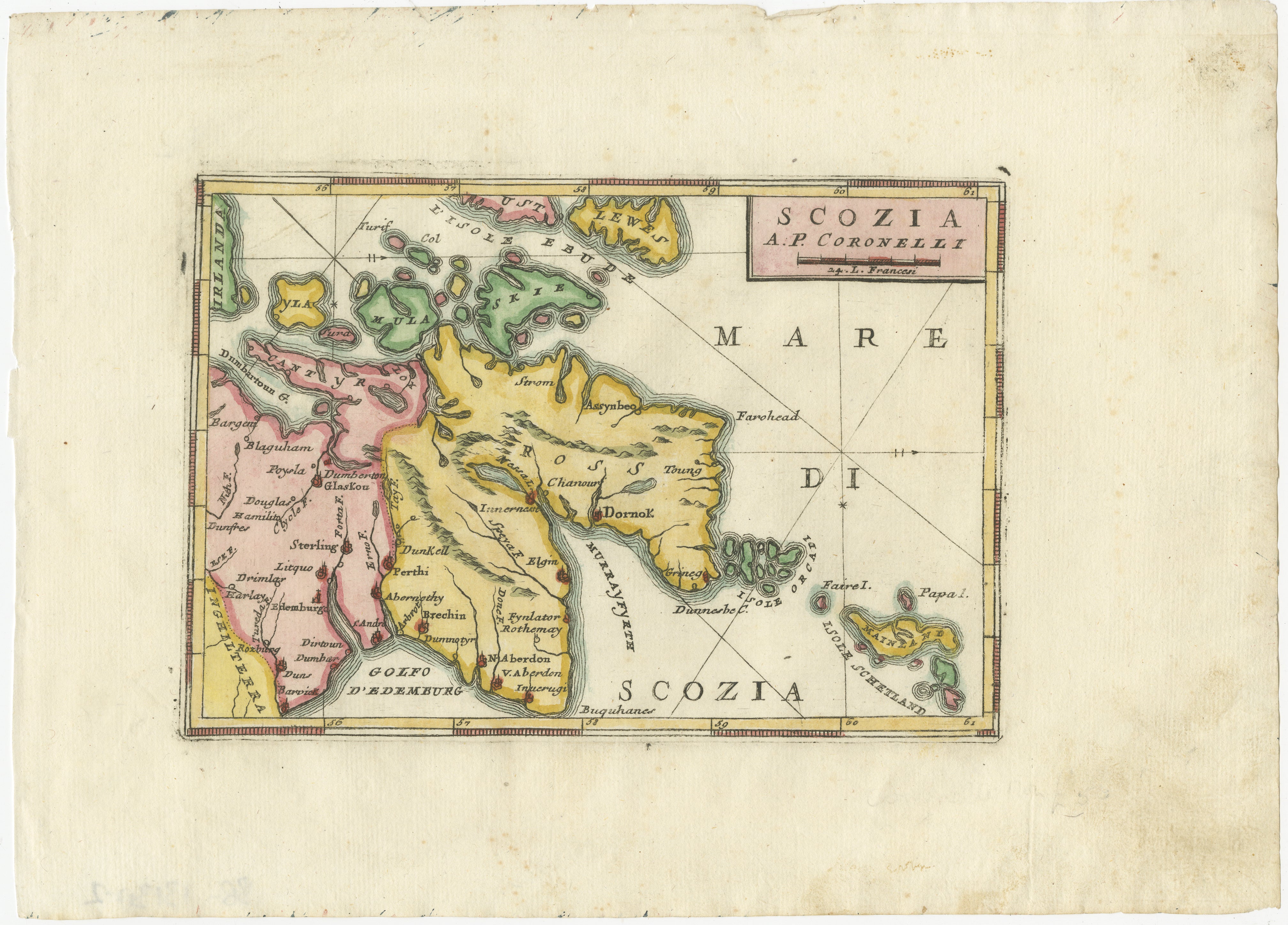
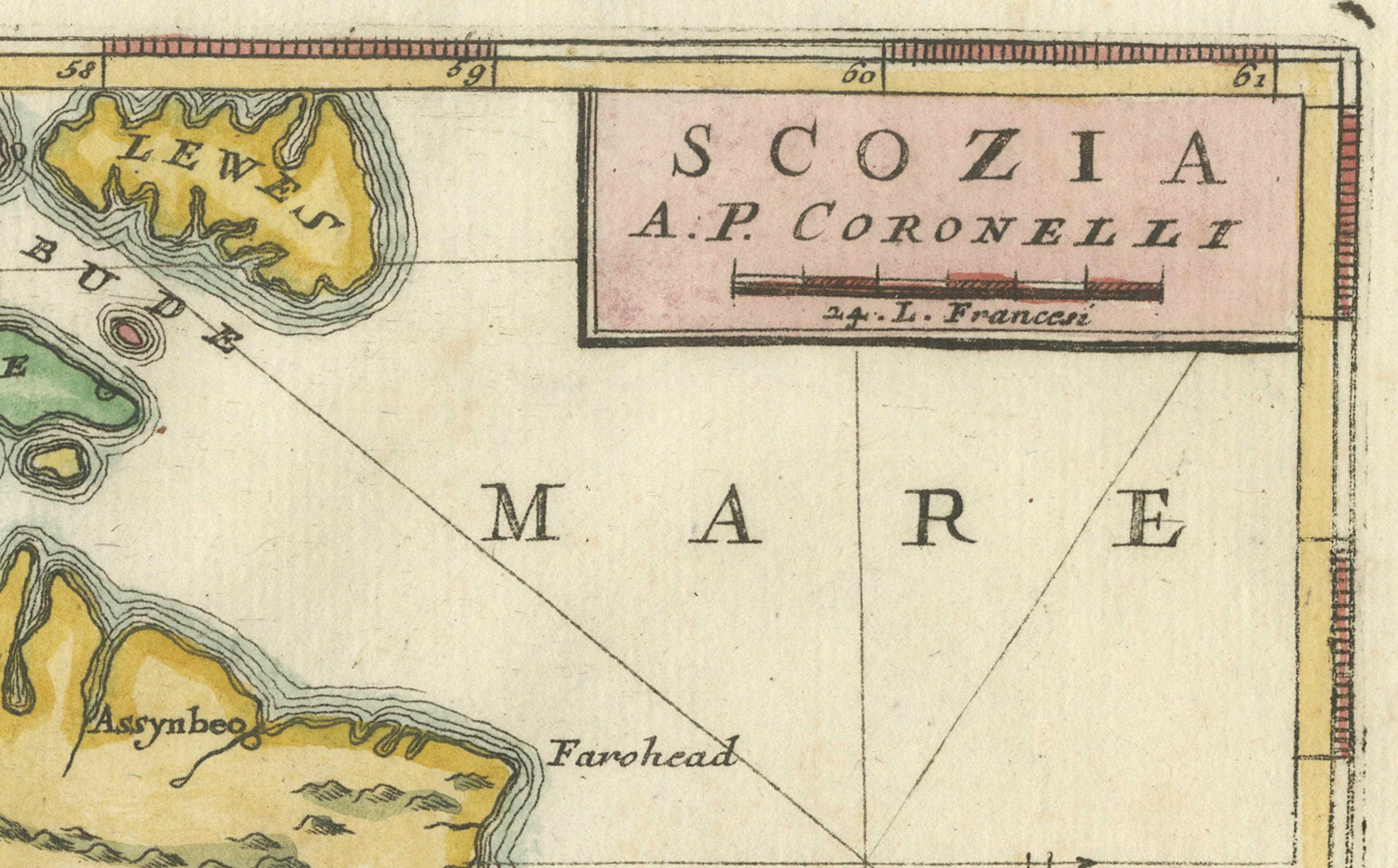
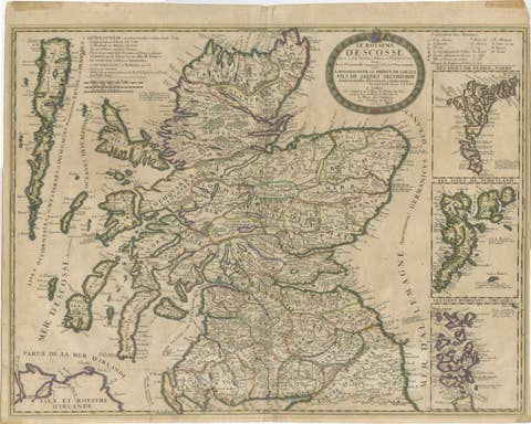
Map of Scotland by Coronelli, c.1690 – “Scozia A.P. Coronelli”
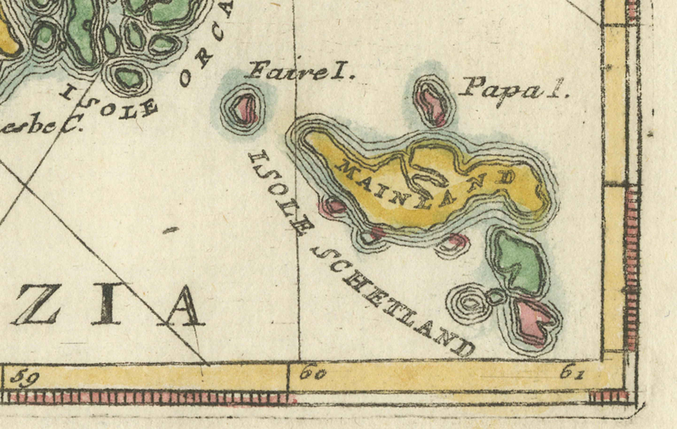
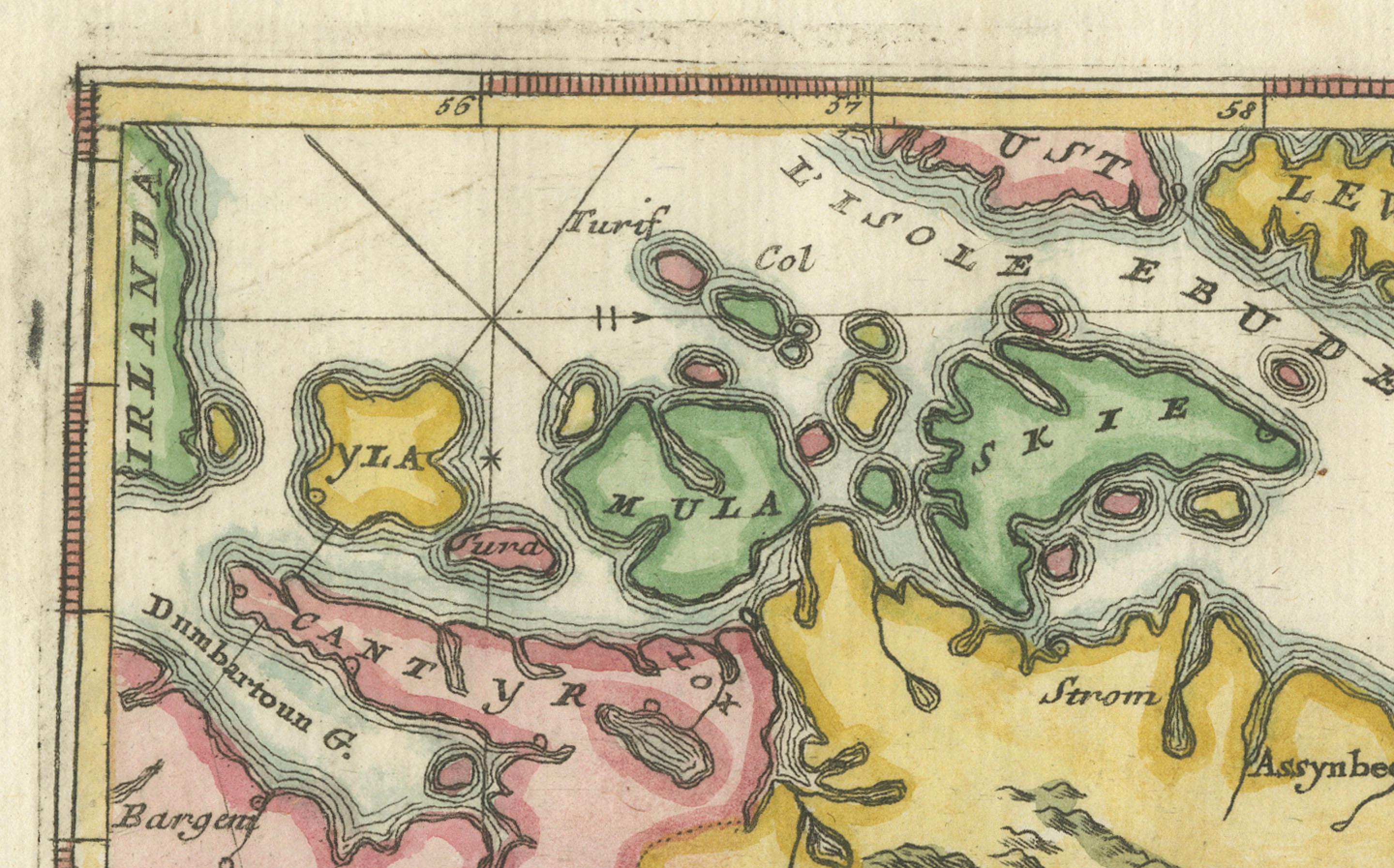
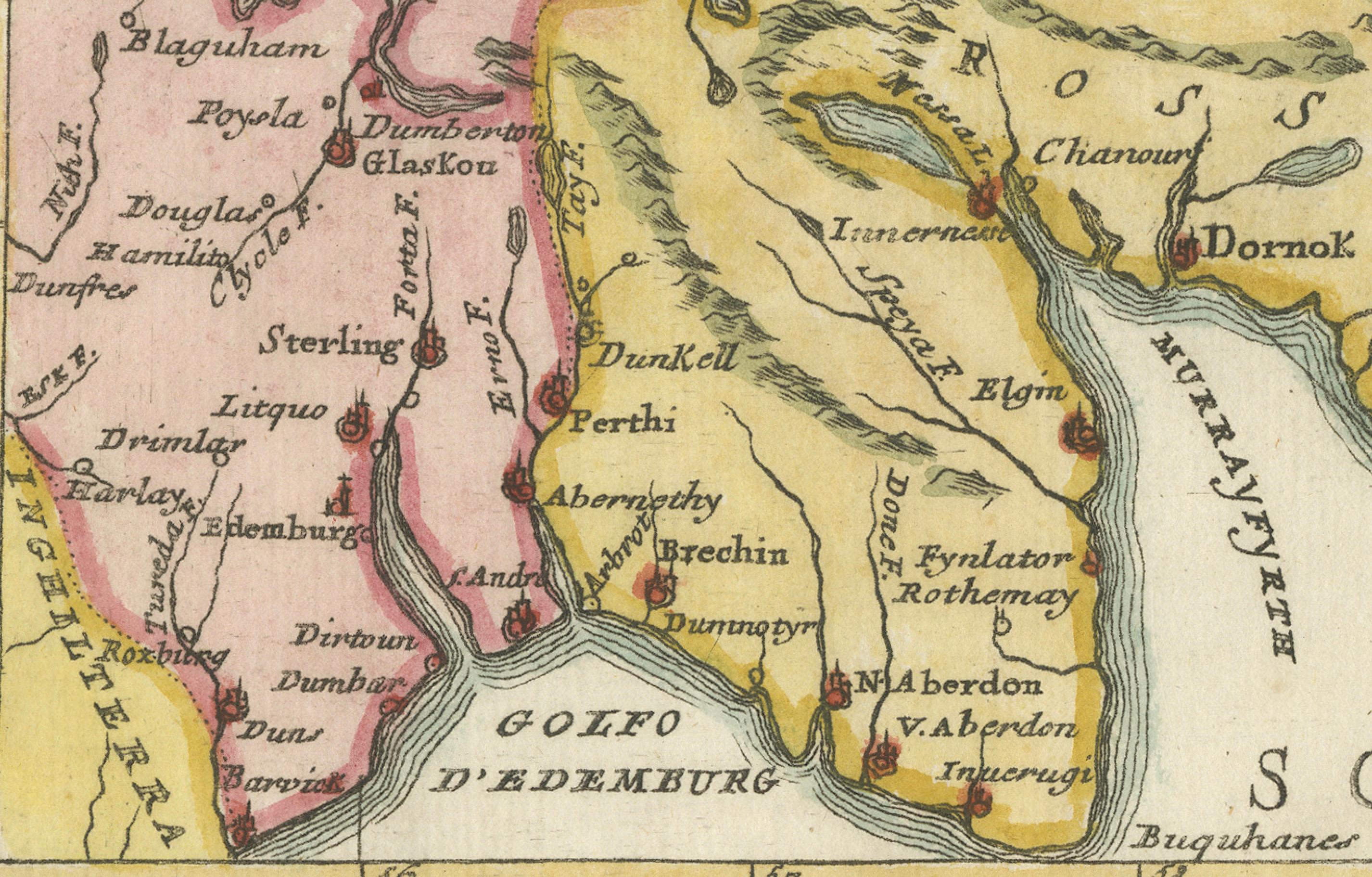
This finely engraved and hand-colored map depicts Scotland, titled Scozia A.P. Coronelli, produced by the renowned Venetian cartographer Vincenzo Maria Coronelli (1650-1718). The map is in Italian, as typical of Coronelli’s works, and features detailed coastal outlines, major cities, rivers, and islands, including Islay, Skye, Lewis, Orkney, Shetland, and the Hebrides, along with inland towns such as Aberdeen, Elgin, Perth, Dunkeld, Stirling, and Glasgow.
Vincenzo Coronelli was one of the most important and prolific Italian cartographers of the late 17th century. He became famous for his detailed globes created for Louis XIV and his monumental atlases, including the Atlante Veneto (1690s), from which this map is likely derived. His works combined scientific accuracy with artistic engraving quality, and they remain highly valued by collectors and institutions worldwide.
This particular map shows clear baroque stylistic features, including decorative title cartouches, fine engraving with delicate hachuring to indicate relief, and an elegant coastal delineation with place names written in Italian. The seas are labeled Mare di Scozia and the Gulf of Edinburgh is noted as “Golfo d’Edenburgo.”
Such maps were not only practical navigational references but also symbols of knowledge, power, and curiosity in the Age of Exploration and Enlightenment. They make excellent additions to collections of Scottish, British Isles, or Italian cartography, as well as for display in libraries, studies, and offices.
Condition Report:
Overall very good condition. Strong early hand coloring. Paper is clean with only light age toning and occasional small marginal foxing spots, well outside the printed area. Wide margins preserved. No tears, repairs, or wormholes noted.
Framing Tip:
For best presentation, frame with a thin gold or black wooden frame and an archival off-white or cream mat. UV-protective glass will preserve the vibrant original colors. Consider adding a small brass title plaque for a museum-style display.
This map is signed “A.P. Coronelli” (Abbate Padre Coronelli) and engraved by P. A. Francesco as indicated. It dates to circa 1690-1700, likely from Atlante Veneto or his Corso Geografico Universale.