Rare Hand-colored Map of the British Isles by Gerard Valk, Published circa 1700
€ 610
One of a kind: this is the sheet in the photographs. Ships from Langweer, the Netherlands.
Date
1700
Sheet size
52.1 × 61.7 cm (20.5 × 24.3 in)
Condition
Good
Reference
BG-14091-2
Condition
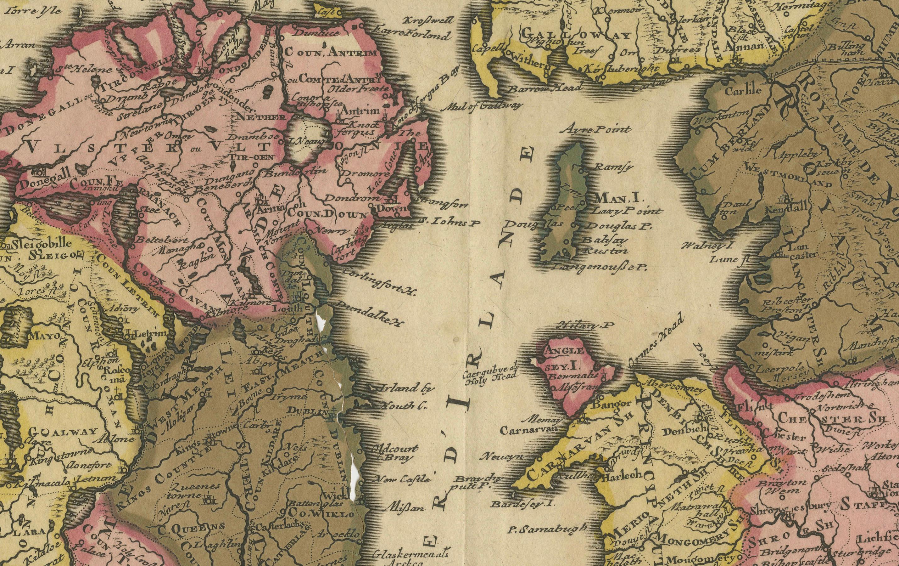
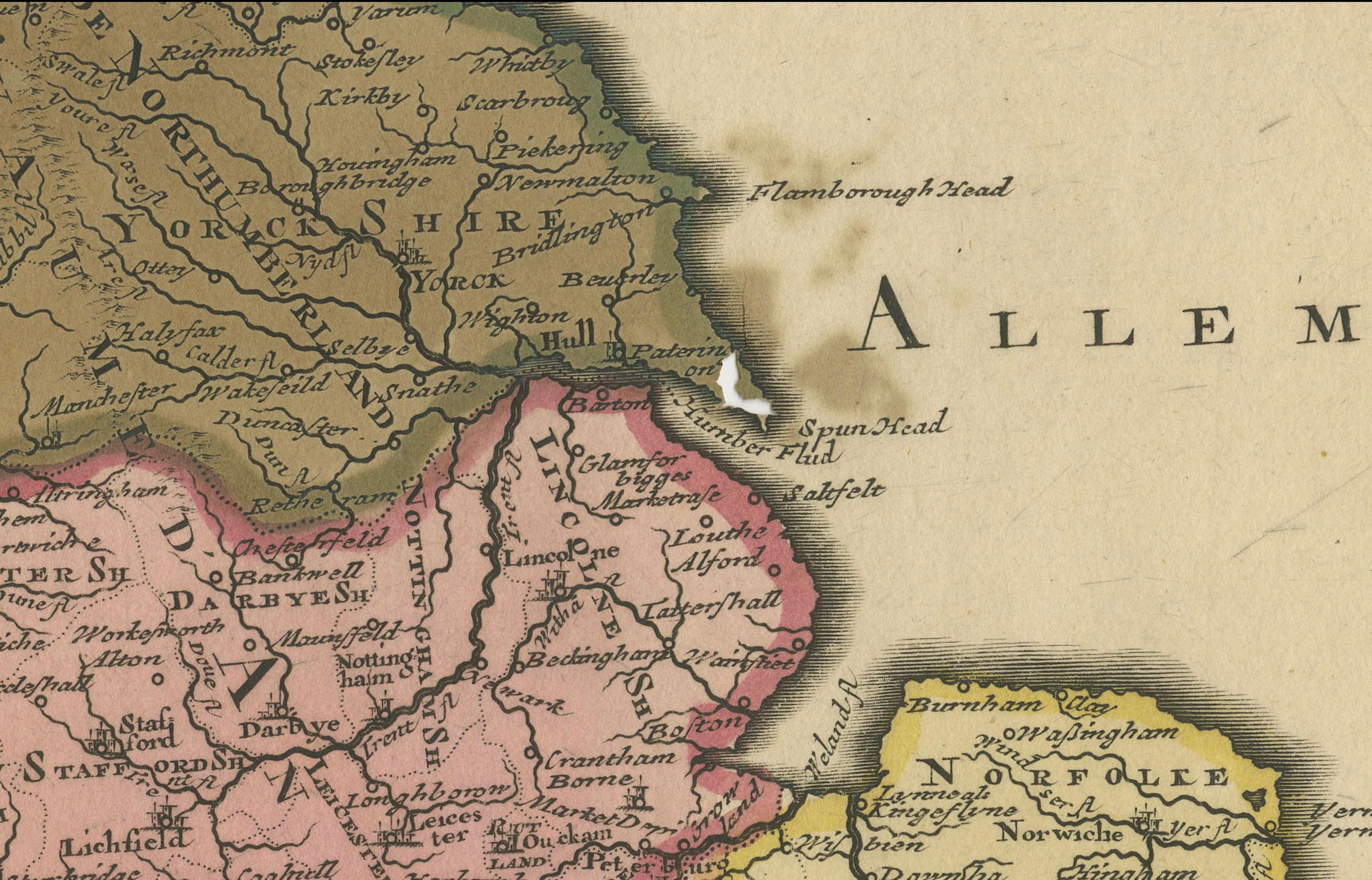
Overall good condition. Original hand-coloring vibrant, though part of Ireland shows typical green pigment oxidation with a minor surface break. Wide margins, strong plate impression. The paper shows a warm aged patina typical of 18th-century prints.
About this sheet
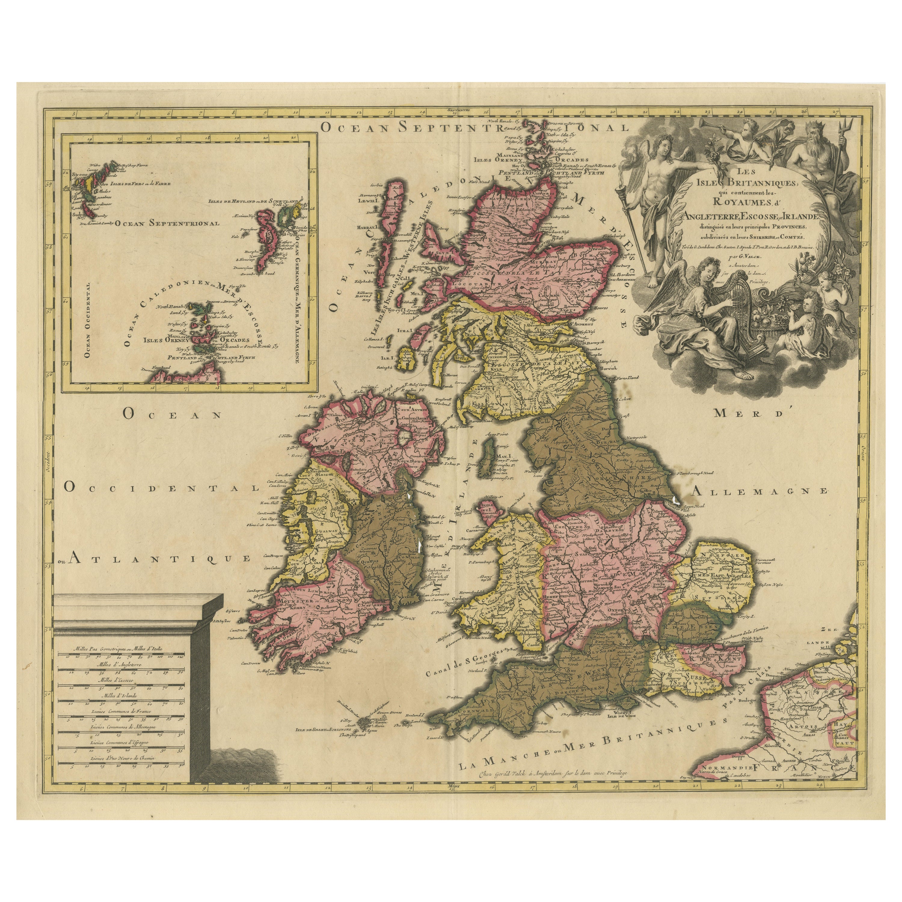
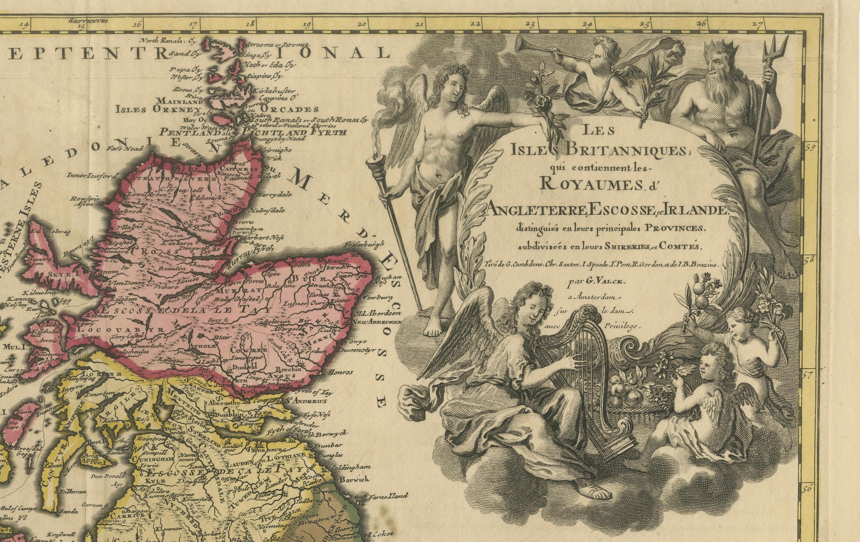
Map of the British Isles by Gerard Valk circa 1700 – Hand-Colored Engraving
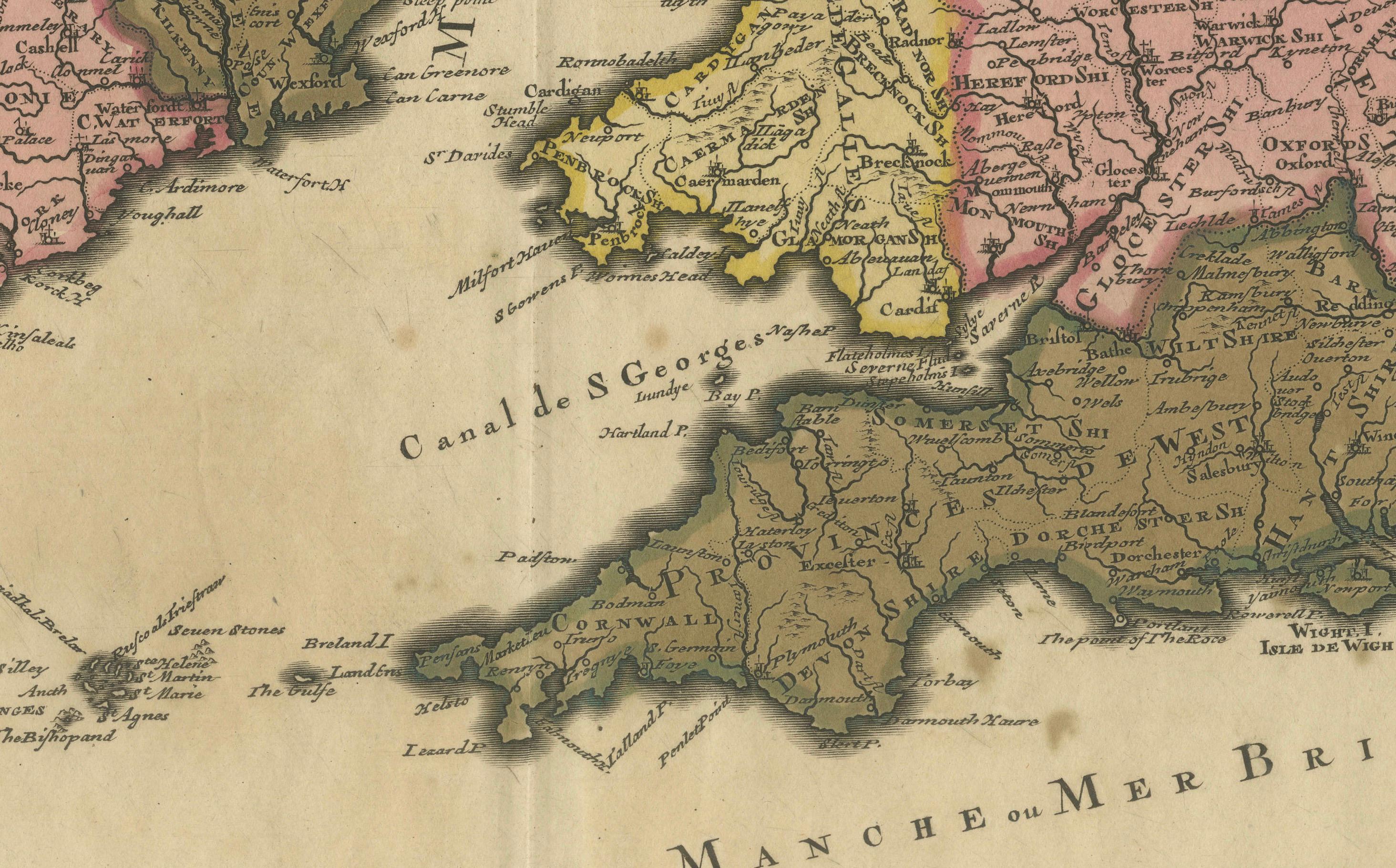
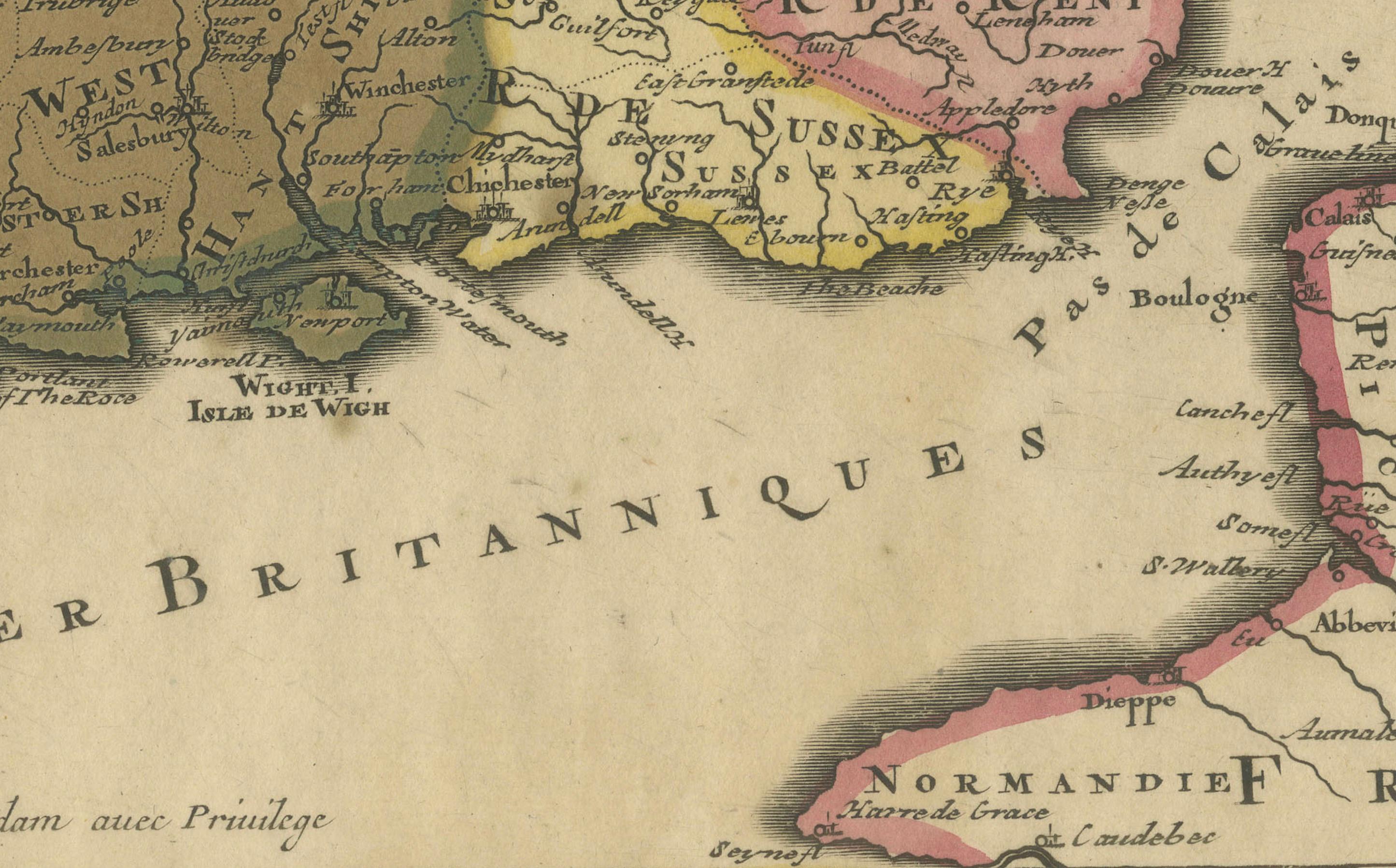
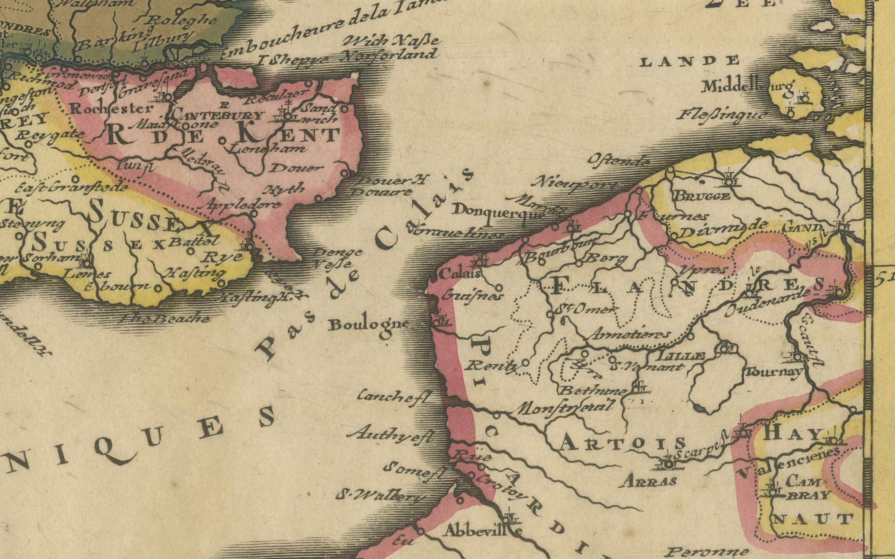
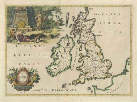
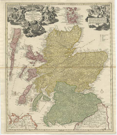
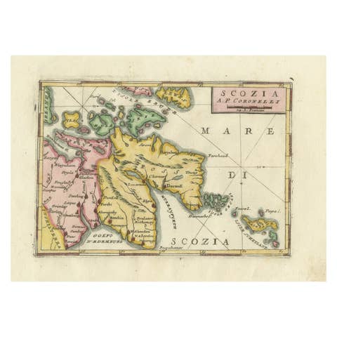
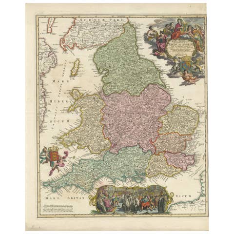
This elegant copperplate engraving titled *Les Isles Britanniques, qui contiennent les Royaumes d'Angleterre, Escosse et Irlande* was created by Gerard Valk around 1700 in Amsterdam. The map presents the British Isles in fine detail, including the kingdoms of England, Scotland, and Ireland, and is hand-colored to distinguish provincial divisions and county boundaries.
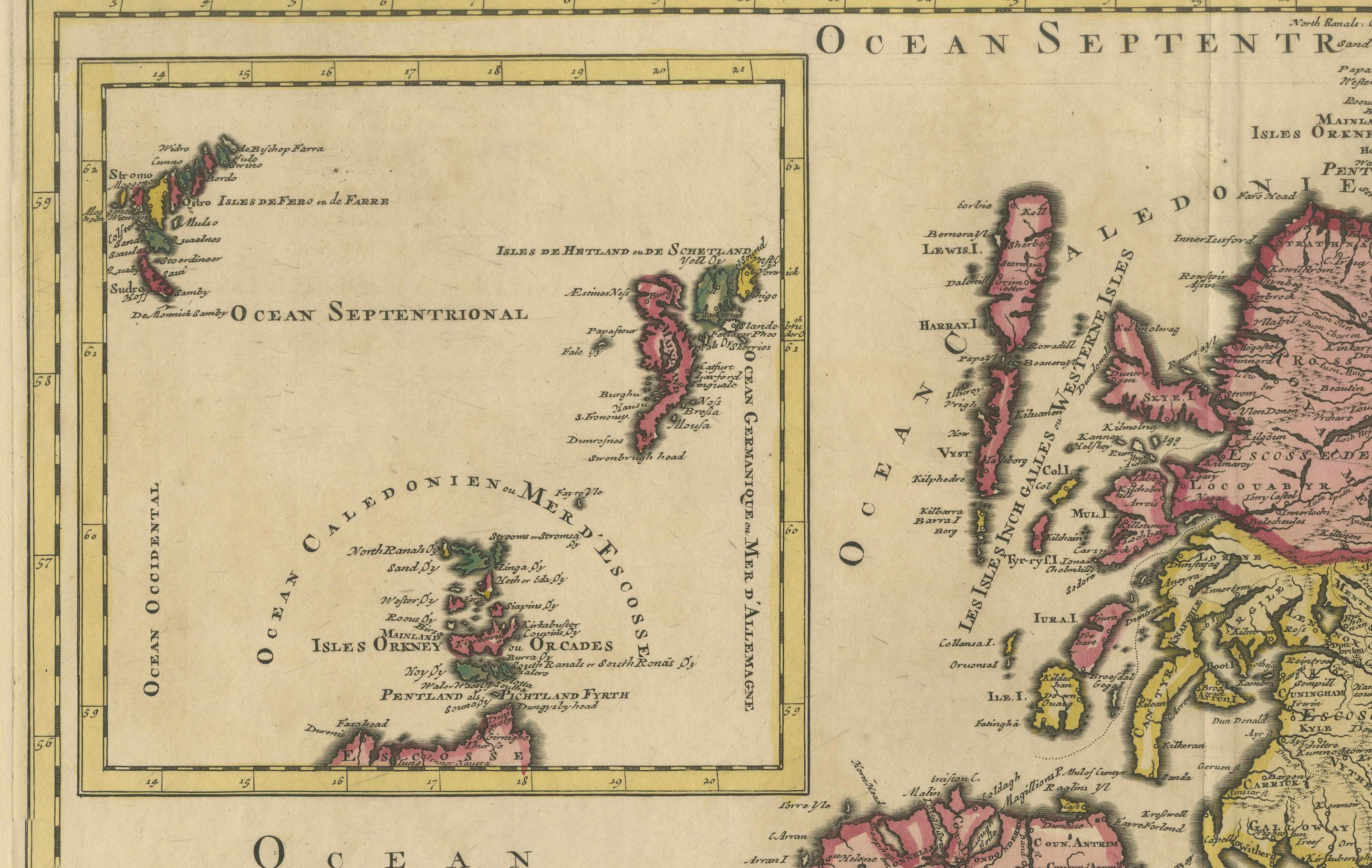
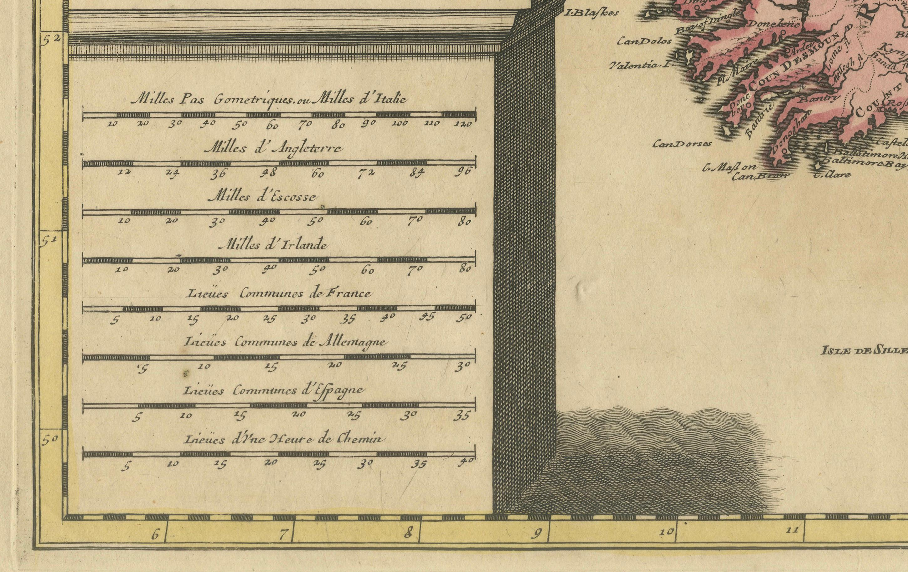
This map is printed in French and reflects the growing European interest in the British Isles during the early 18th century. Each kingdom is carefully outlined and shaded, and an inset in the upper left features the Shetland, Orkney, and Hebrides islands, expanding the geographical scope. A monumental distance scale, engraved to resemble a stone pedestal, dominates the lower left and serves both decorative and practical purposes.
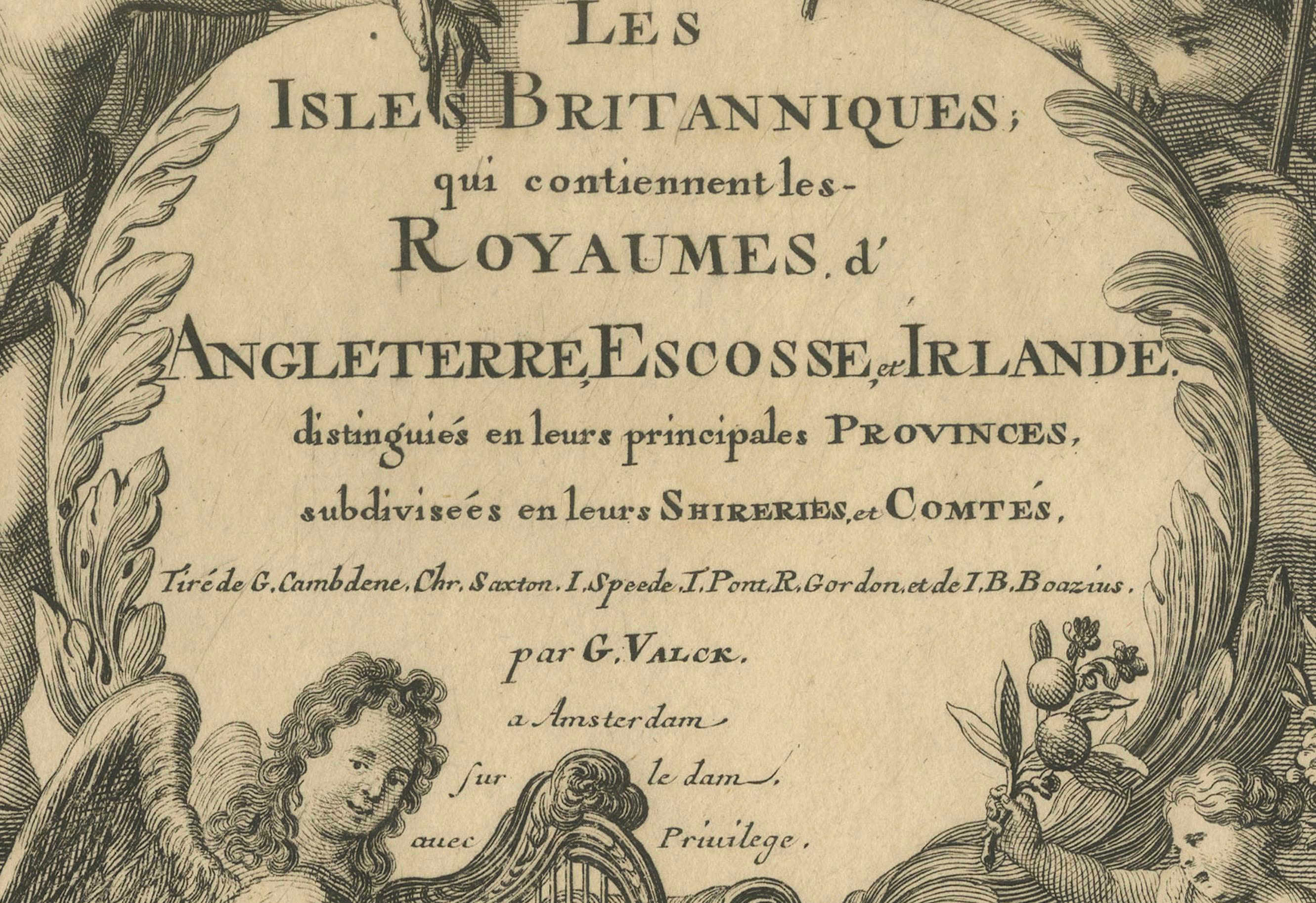
The elaborate title cartouche in the upper right is richly illustrated with allegorical figures, angels, and classical motifs, lending the map a grand and celebratory tone. It exemplifies the Dutch cartographic tradition’s combination of geographic precision and Baroque ornamentation.
Gerard Valk (c. 1650–1726) was a prominent Dutch mapmaker and globe manufacturer, known for the high quality of his engraving and printing. His maps are collected for both their scientific merit and decorative appeal. This map likely formed part of an atlas or was issued as a separate wall map during a period when the Dutch were at the forefront of European map production.
Condition summary: Overall good condition. Original hand-coloring still vibrant, though part of Ireland shows typical green pigment oxidation with a minor surface break. Wide margins and strong plate impression. The paper shows a warm, aged patina typical of 18th-century prints. No repairs.
Framing tip: Frame with a dark walnut or black and gold profile. A light ivory or pale parchment mat works best. UV-protective glass is recommended to prevent further oxidation of the green pigment. A grand addition to any map or history collection.