About this sheet
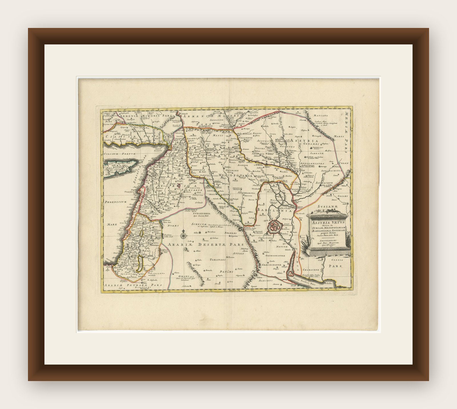
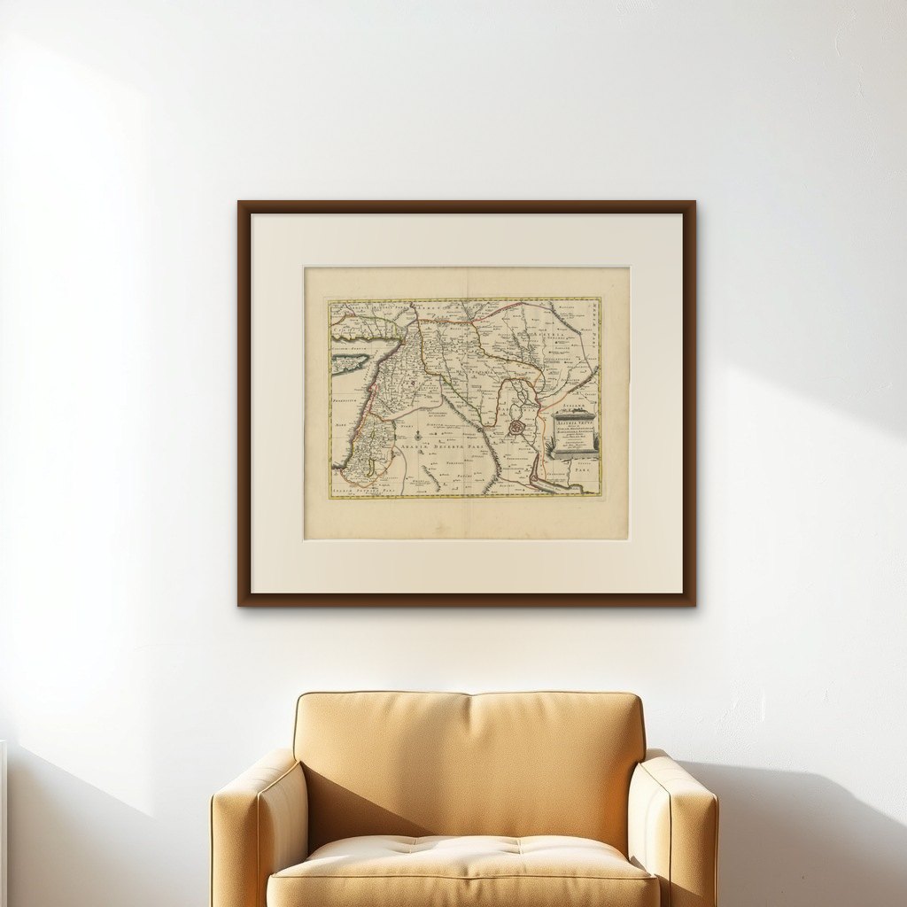
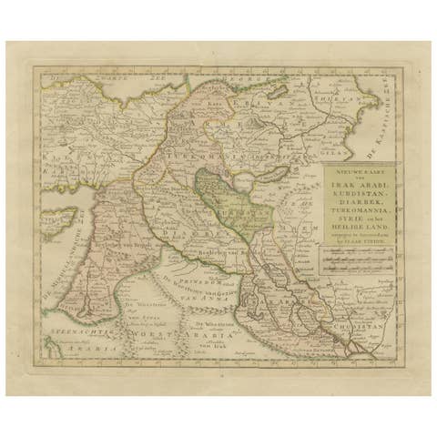
This map, "Assyria vetus diuisa in Syriam, Messopotamiam, Babyloniam, et Assyriam", by Pierre Mortier, is a late 17th-century depiction of the historical Middle East.
Title: Ancient Assyria Divided into Syria, Mesopotamia, Babylonia, and Assyria
Cartographer/Publisher: Pierre Mortier (1661–1711)
Publication Details:
- Place: Amsterdam
- Date: Circa 1700
This historical map of the ancient Middle East, created by Pierre Mortier, depicts the region encompassing modern-day Israel, Lebanon, Syria, Jordan, and Iraq. It illustrates the ancient divisions of Assyria, including Syria, Mesopotamia, Babylonia, and Assyria proper.
Notable Features:
- Babylon:
The map prominently locates Babylon near the Euphrates River, highlighting its historical importance.
- Lacus Chaldaicus:
A large lake in southern Iraq, likely representing the Mesopotamian Marshes.
- Ancient Regions:
Includes the historical territories of Phoenicia, Palestine, Syria, Mesopotamia, and Assyria.
- Detailed Topography:
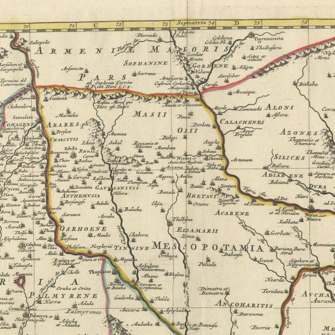
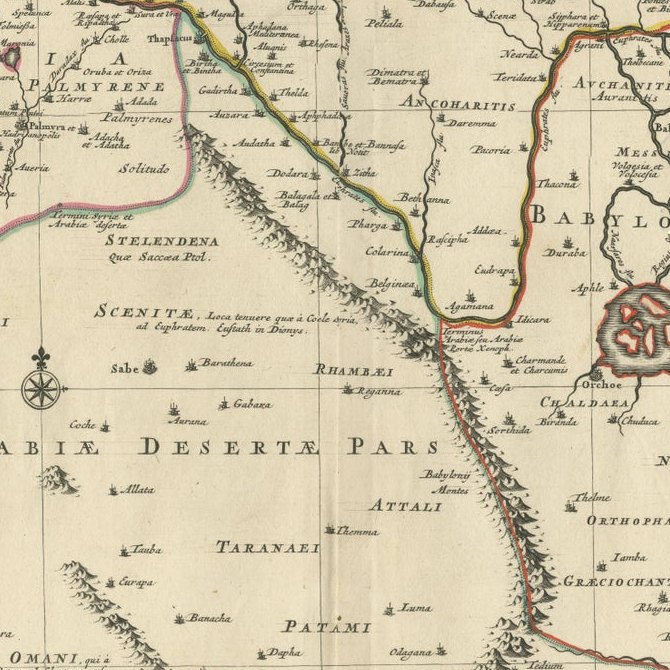
Rivers, cities, and mountain ranges are intricately engraved.
- Cartouche:
The title is displayed in a decorative cartouche in the lower right corner, featuring classical motifs.
This map reflects the geographical understanding of the late 17th century, with a focus on biblical and classical historical geography.
Background Information:
Pierre Mortier, a Dutch mapmaker and engraver, was born in Leiden to a family of French refugees. He gained the privilege to publish French maps in the Netherlands in 1690, bringing some of the finest cartographic works to Dutch audiences. Mortier’s maps are known for their artistic detail and precision. His son, Cornelis Mortier, would later partner with Johannes Covens I to establish the renowned Covens & Mortier publishing firm.
This map of Assyria serves as a testament to Mortier’s skill in blending historical cartography with artistic expression, making it both a scholarly and decorative piece.
The map is in very good condition for its age, with clear, well-preserved engraving and vibrant hand-coloring. Minimal age-toning and edge wear are present, consistent with 17th-century prints.