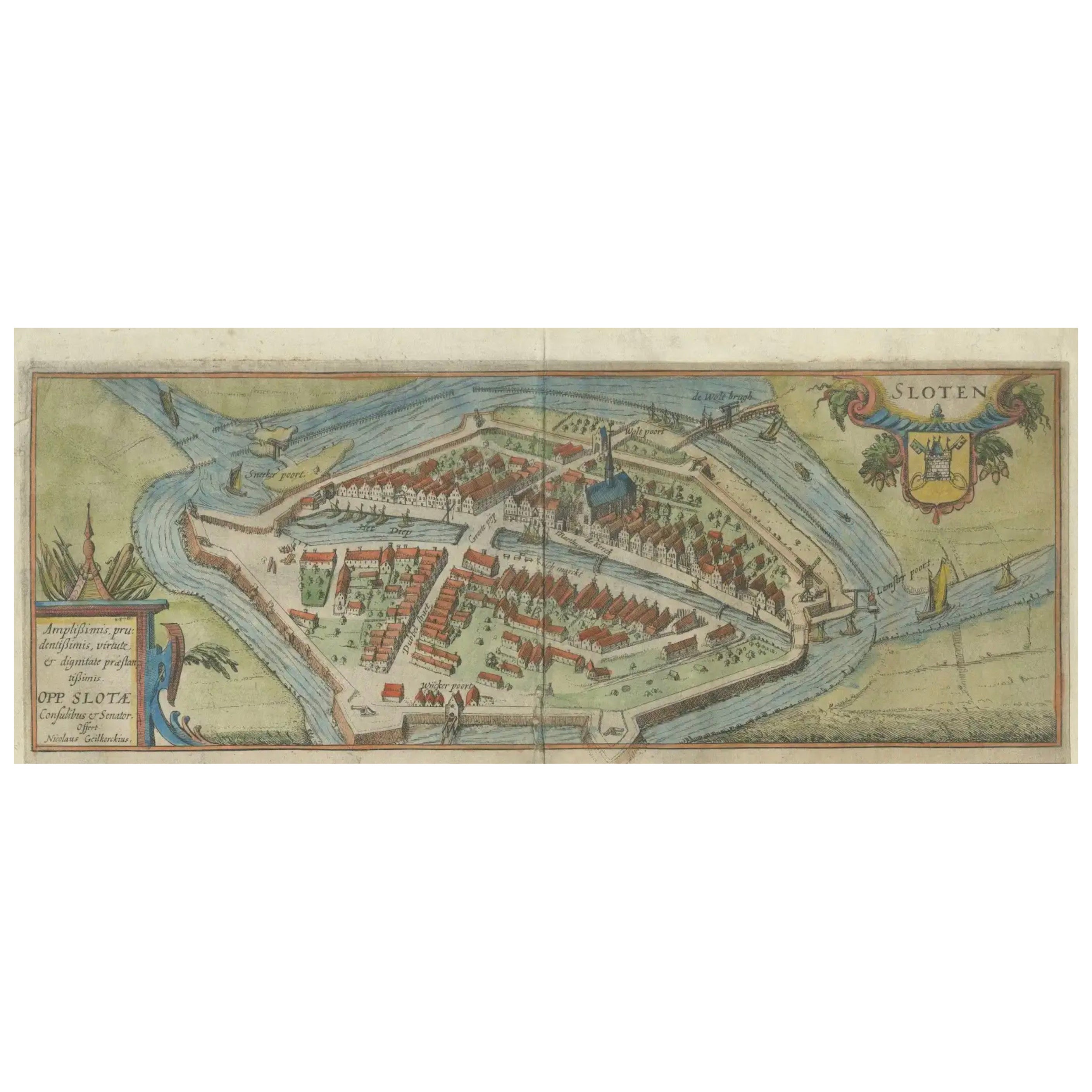
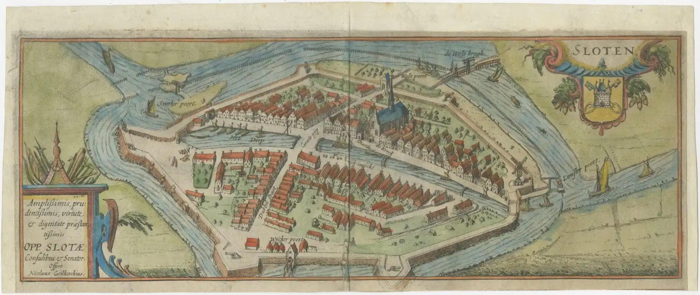
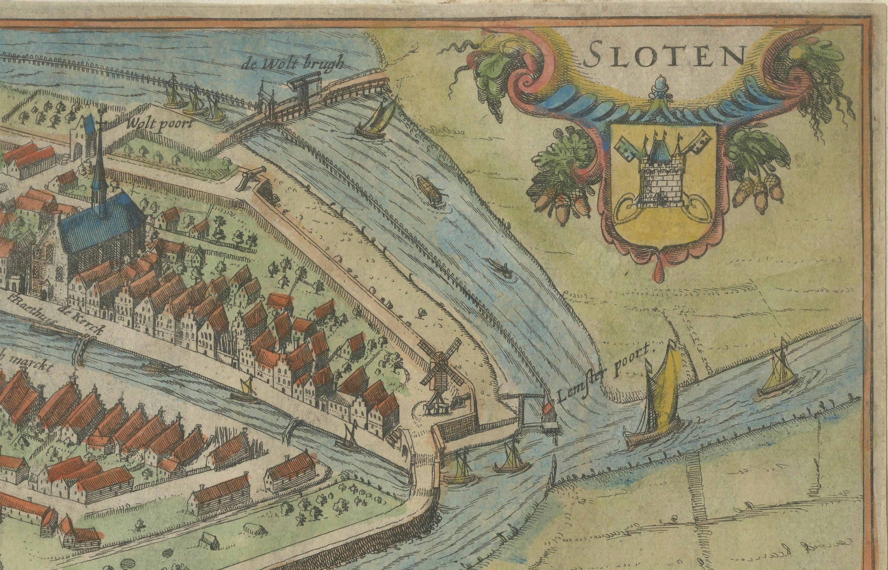
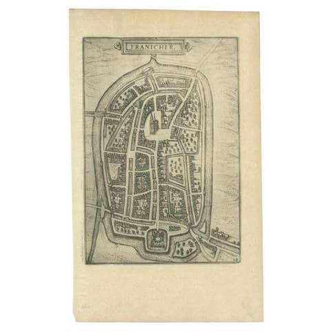
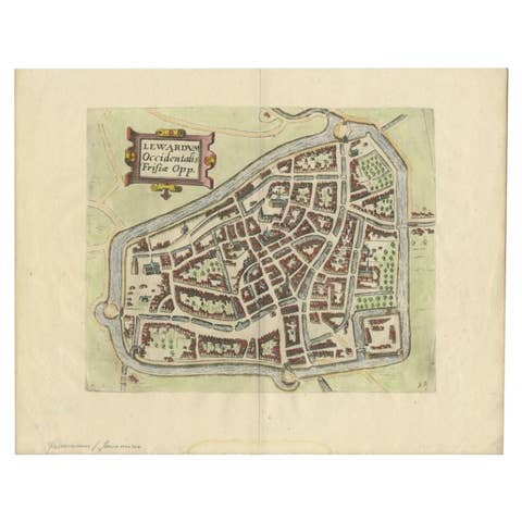
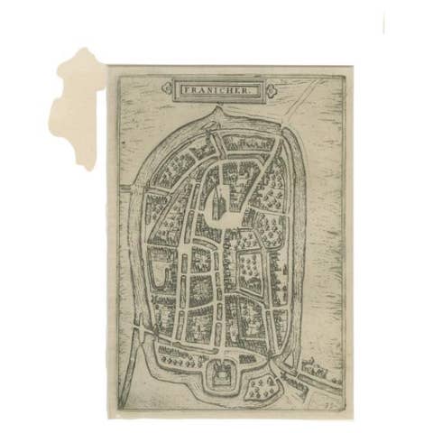
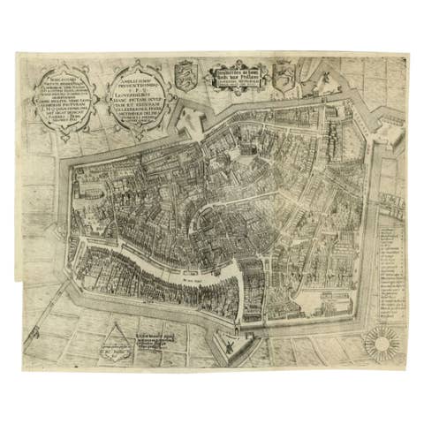
Dutch City Plan of Sloten in Friesland by N. Van Geelkercken, hand-colored 1616
€ 620
One of a kind: this is the sheet in the photographs. Ships from Langweer, the Netherlands.
Date
1616
Sheet size
36.6 × 14.2 cm (14.4 × 5.6 in)
Condition
Good
Reference
BG-12991-2
Condition
Good overall condition. Attractive hand-coloring. Minor age-toning, light creases along centerfold, and slight wear at the edges. Short margins and paper lightly mounted on a paper backing. No major staining or tears. A strong and clean impression.
About this sheet
Bird’s-Eye View of Sloten in Friesland by Nicolaes van Geelkercken, ca. 1616
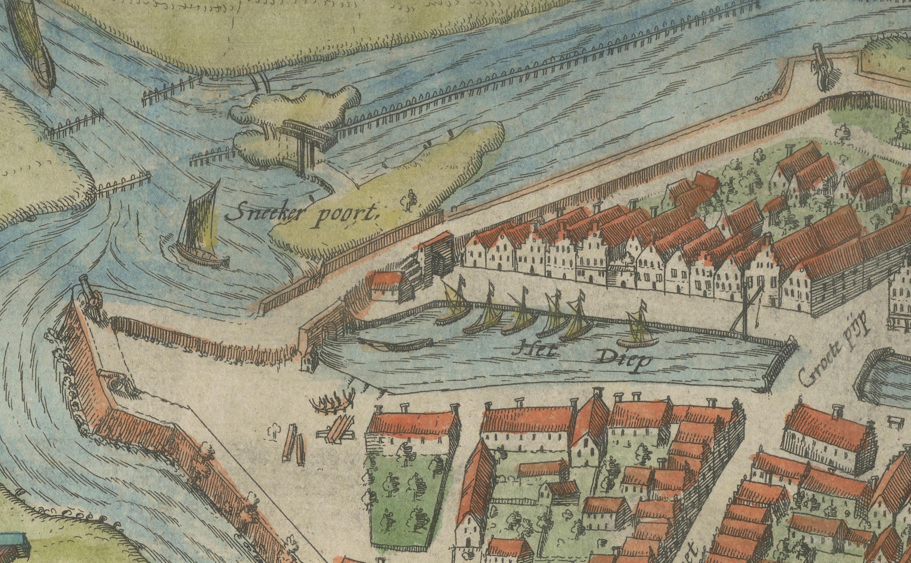
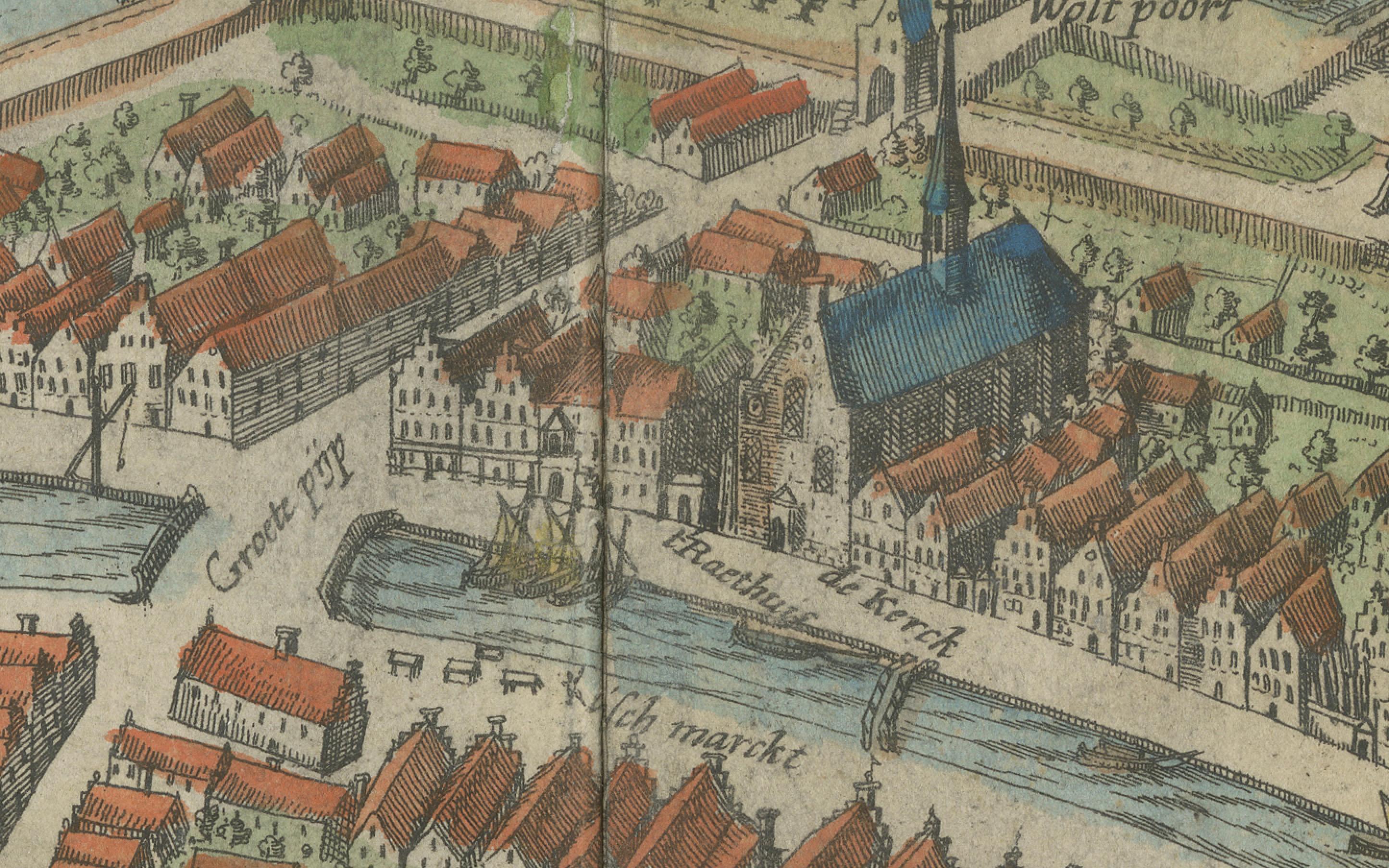
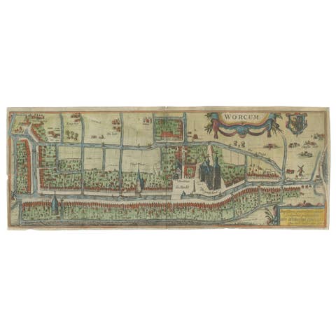
This captivating hand-colored engraving presents an early 17th-century bird’s-eye view of the fortified Frisian town of Sloten (Sloten, Friesland, The Netherlands), one of the smallest cities in the Netherlands. Titled “Sloten,” this map was drawn by the Dutch cartographer Nicolaes van Geelkercken (1585–1656) and published around 1616 as part of *Rerum Frisicarum Historia* by Ubbo Emmius, a major historical and topographical account of Friesland.
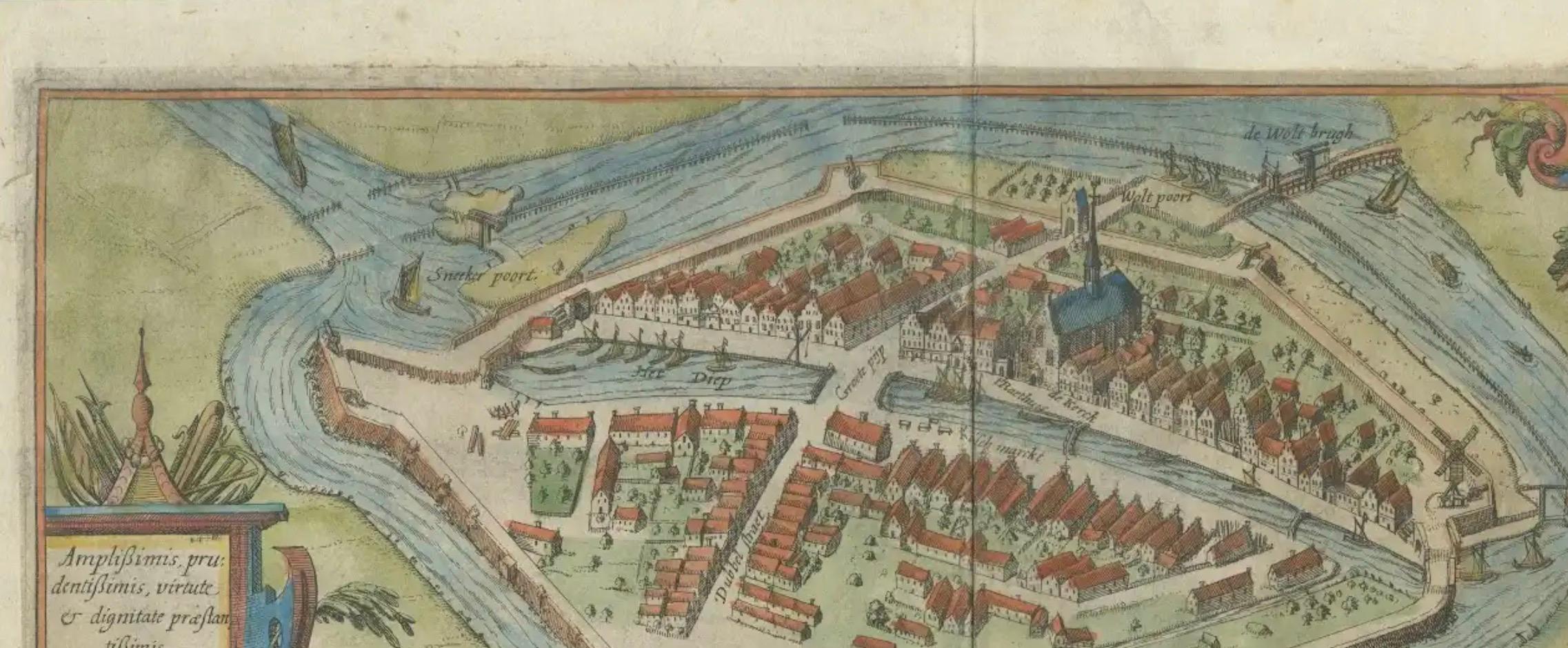
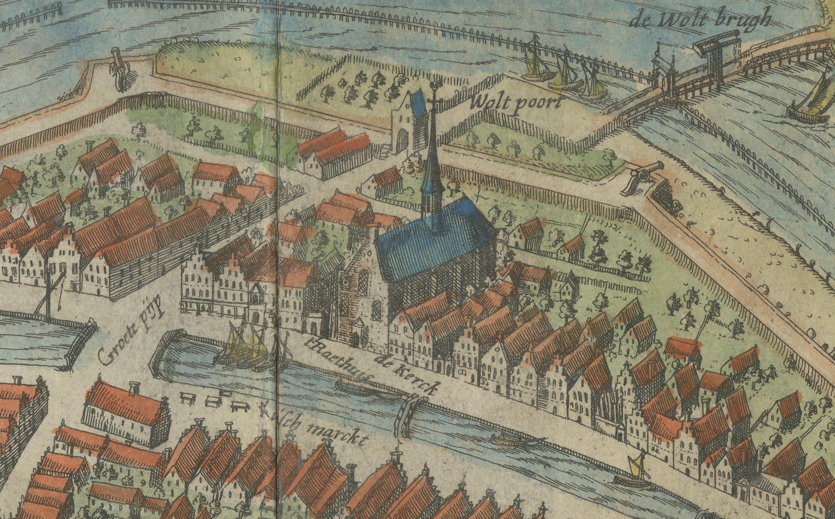
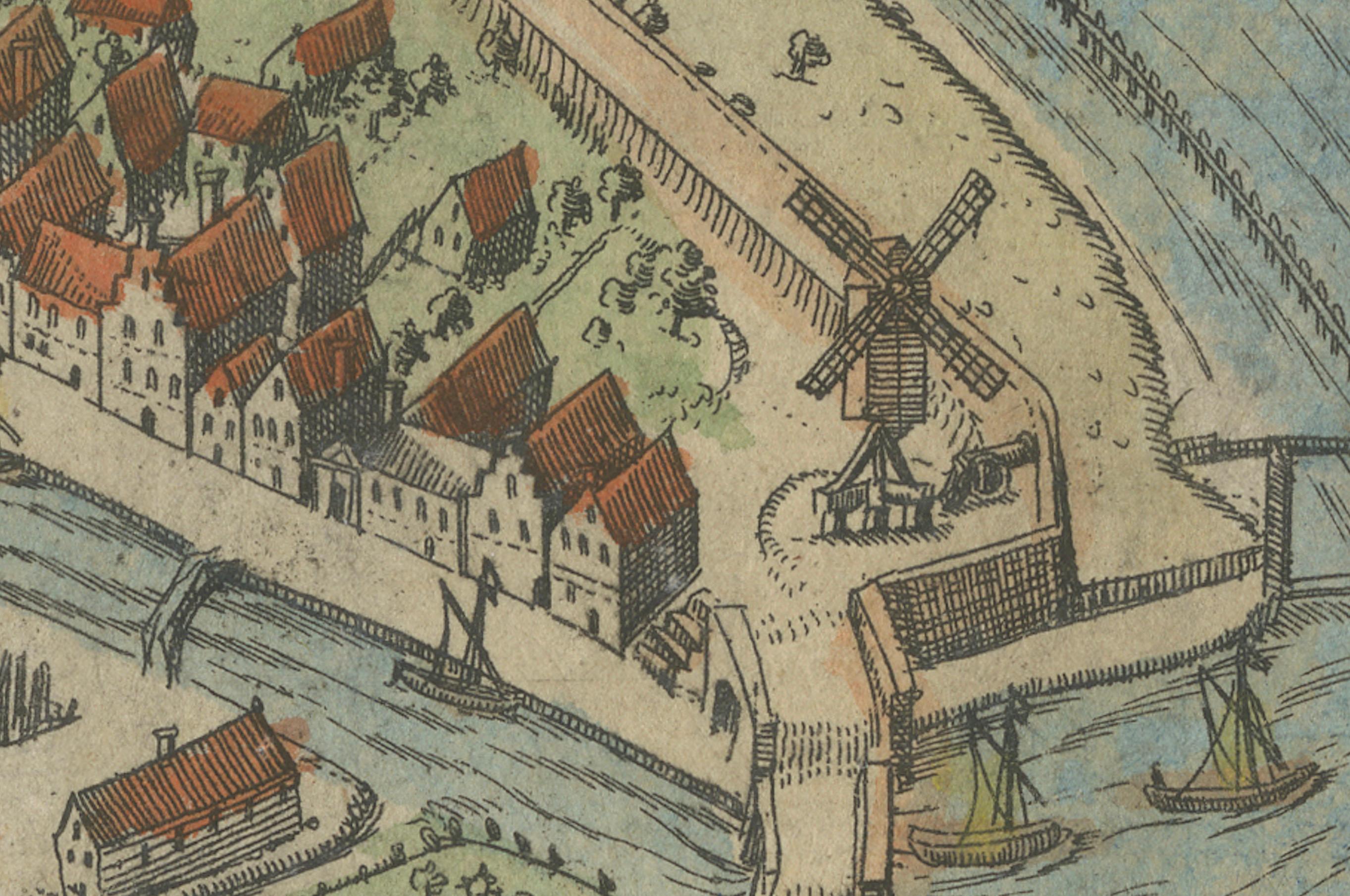
Geelkercken's finely detailed and colorful rendering of Sloten reveals the town’s strategic location at the junction of canals and waterways, emphasizing its historical significance in defense and trade. The city is enclosed by a fortified wall with bastions and gates, including clearly labeled entries such as *Smeerk poort*, *Wicker poort*, *Lemster poort*, and *Wolt poort*. The moat and canal systems are navigated by numerous small ships and barges, illustrating the commercial vibrancy of the time.
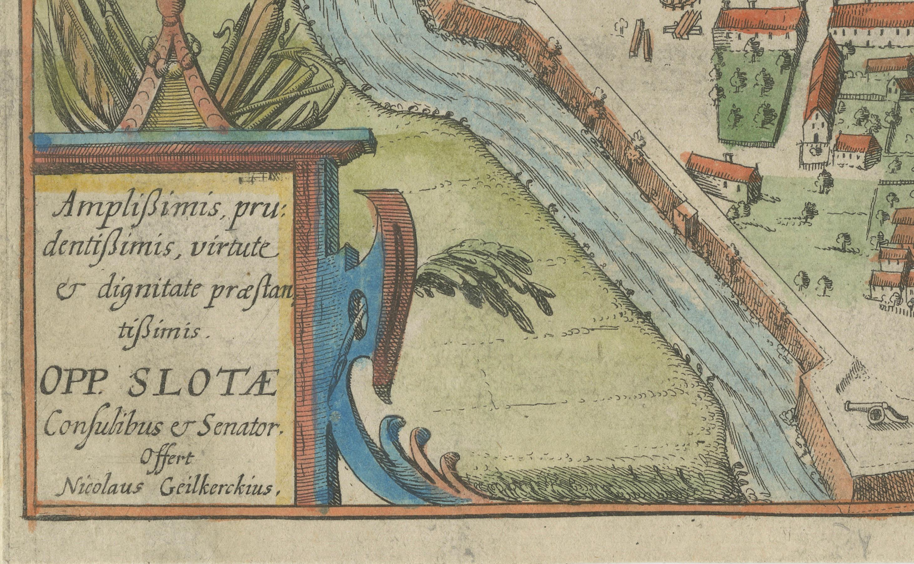
Inside the city walls, the engraving highlights the carefully arranged red-roofed buildings, a central square (*het marckt*), the *Raadhuis* (town hall), and the large church at the heart of the town. Green spaces, orchards, and residential blocks are also illustrated with remarkable clarity for the period. The decorative cartouches—one bearing the city’s coat of arms and the other a Latin dedication to the city council—enhance the map’s aesthetic and historical value.
This map is a rare and valuable artifact that reflects both the artistry and the geographic knowledge of the Dutch Golden Age. It offers a historically rich and visually delightful representation of one of Friesland’s most picturesque and historically preserved cities.
Condition report: Good overall condition. Attractive hand-coloring. Minor age-toning, light creases along centerfold, and slight wear at the edges. No major staining or tears. A strong and clean impression.
Framing tips: Best displayed in a dark oak or black frame with archival matting. Use a neutral or antique white mat to enhance the colors. UV-protective glass is recommended to preserve the vibrant pigments.