About this sheet
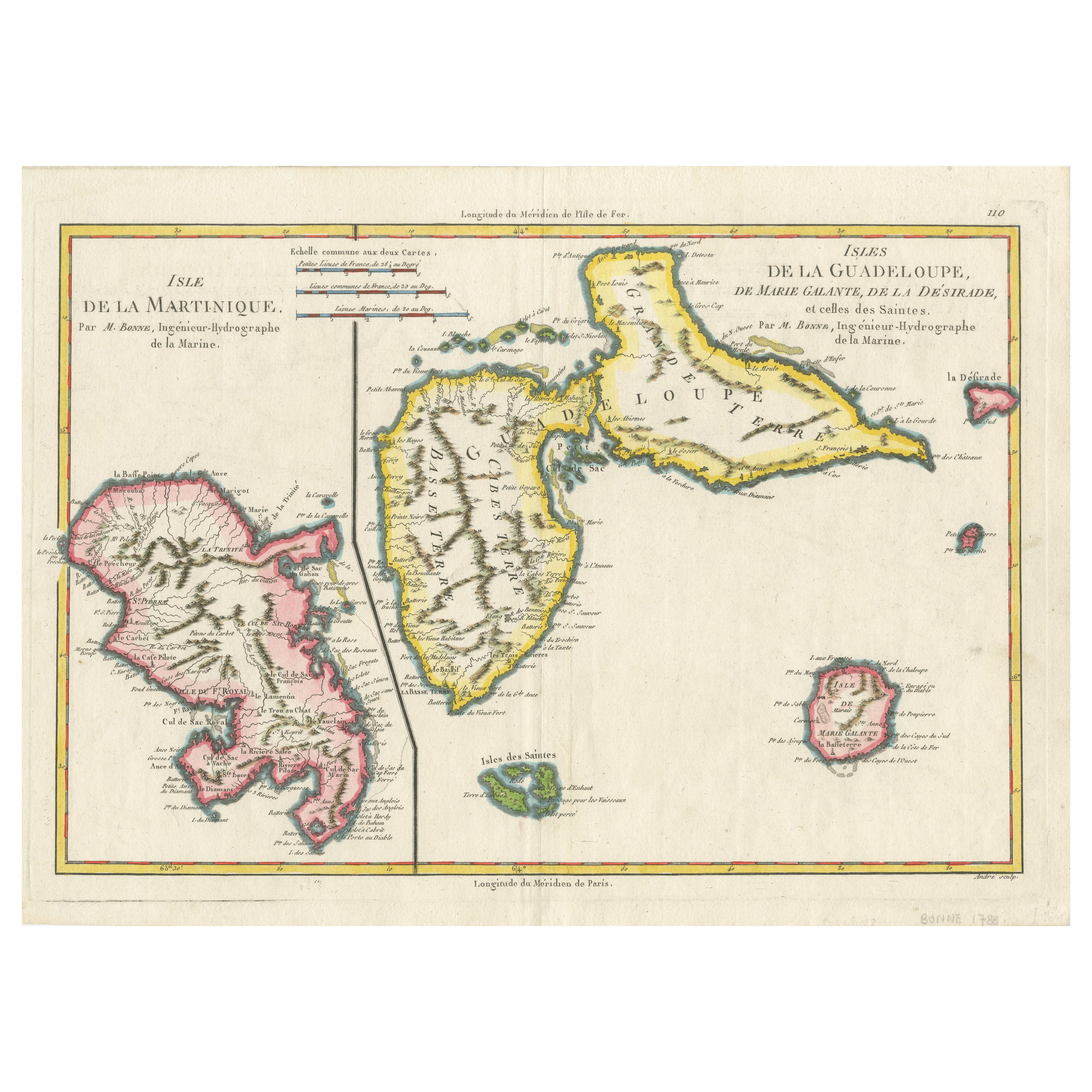
Map of Martinique, Guadeloupe, Marie-Galante, Désirade & Saintes by Bonne, 1788
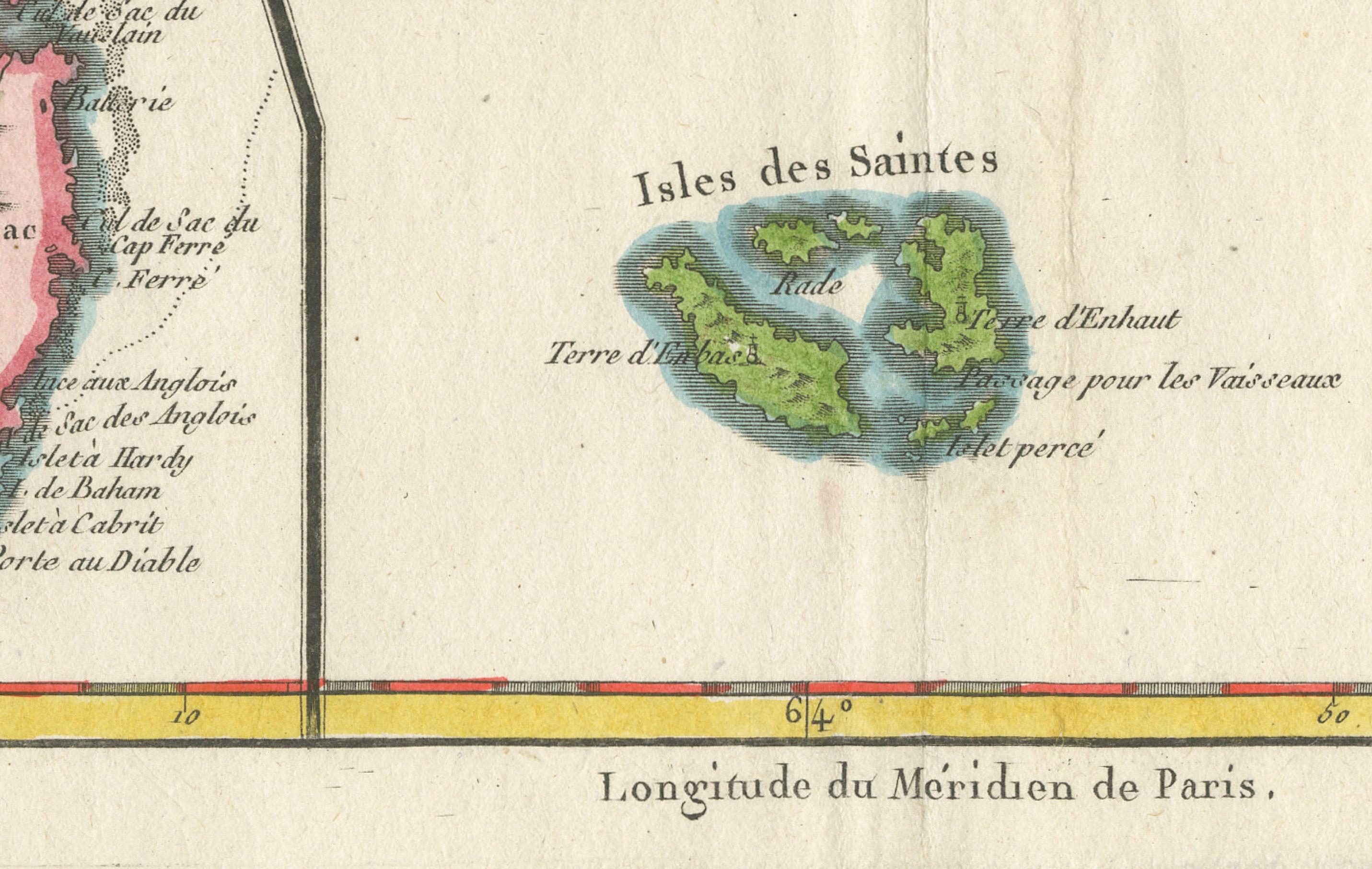
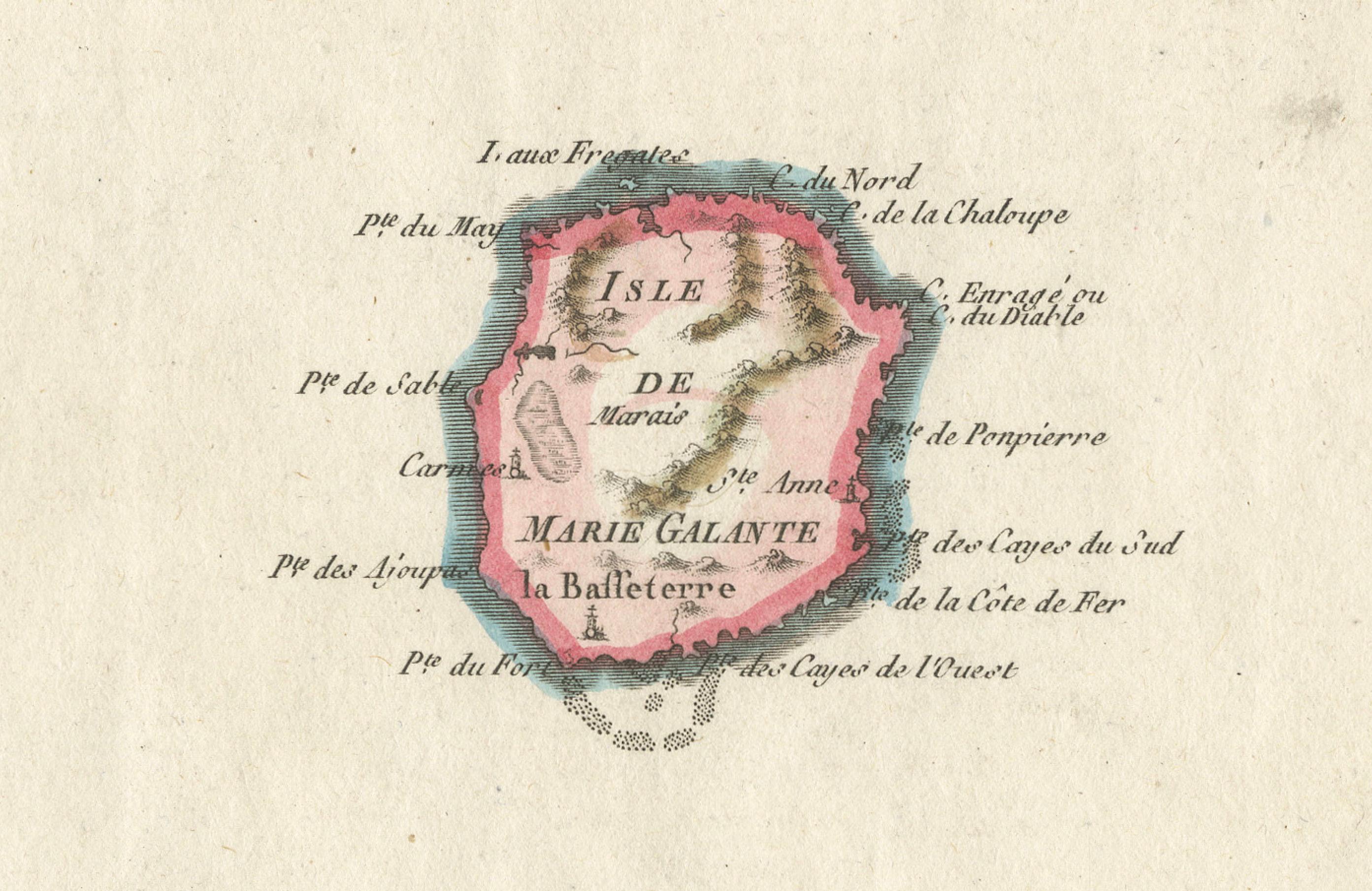
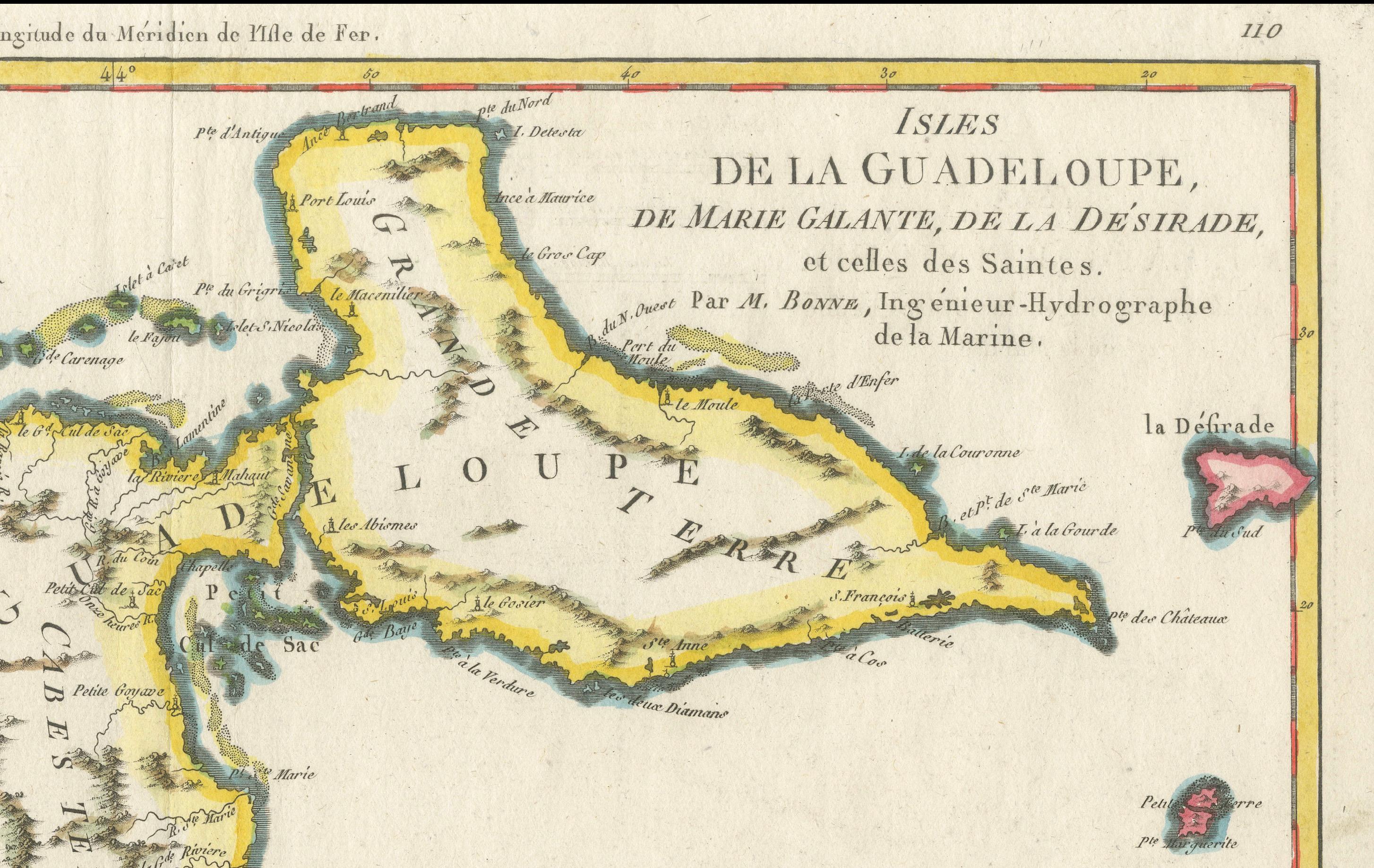
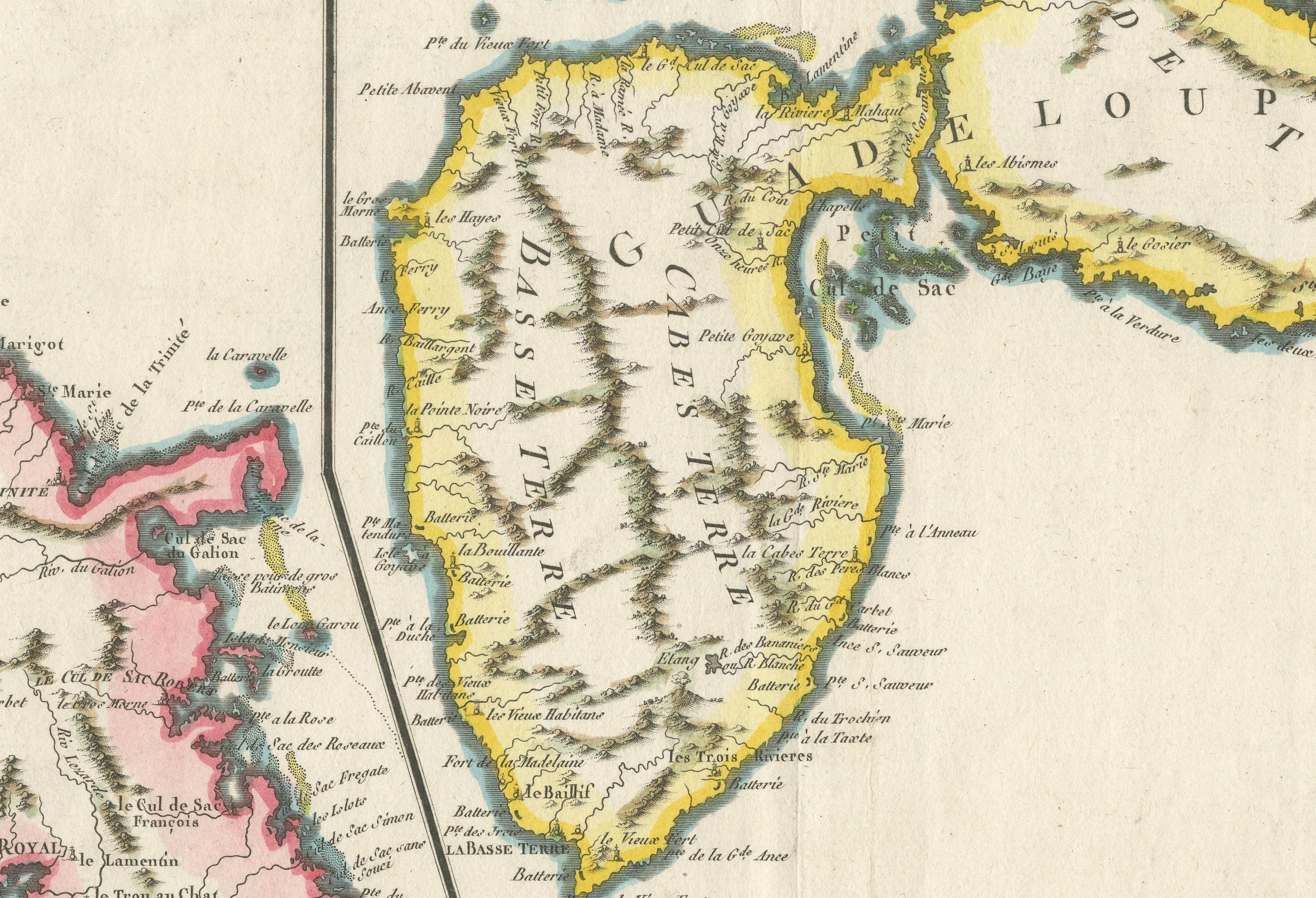
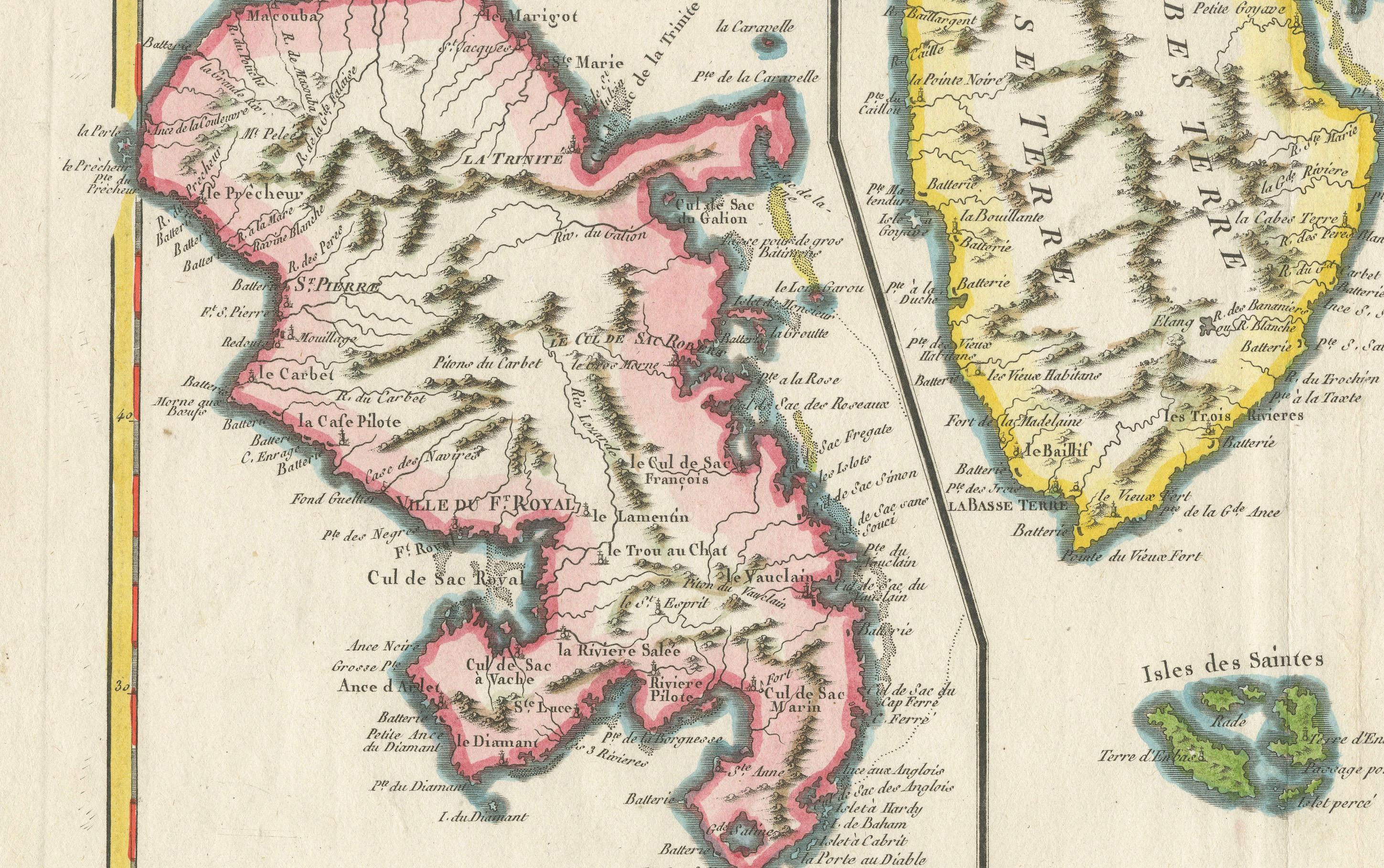
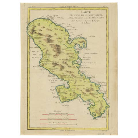
This fine antique map, titled *Isle de la Martinique, Isles de la Guadeloupe, de Marie Galante, de la Desirade et celles des Saintes*, was created by the esteemed French cartographer Rigobert Bonne and published in Paris circa 1788. It presents detailed copperplate engravings of Martinique and Guadeloupe (shown divided into Grande-Terre and Basse-Terre) alongside the smaller islands of Marie-Galante, La Désirade, and Les Saintes.
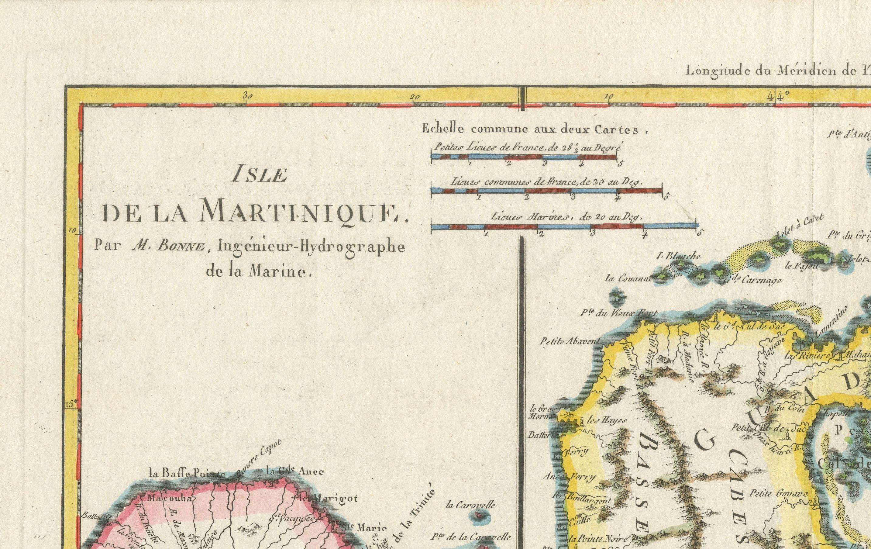
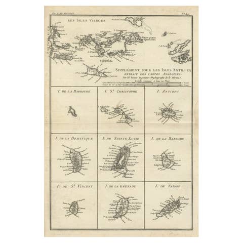
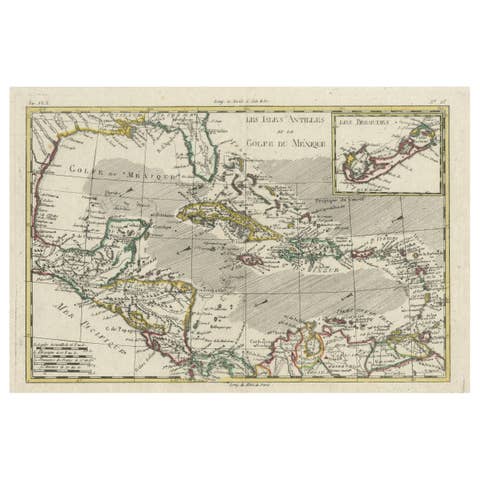
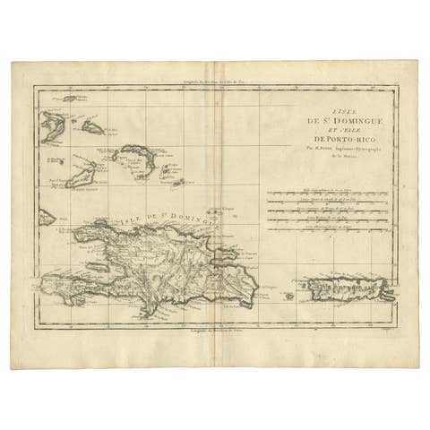
Bonne’s cartography is characterised by scientific precision and elegant clarity, reflecting the Enlightenment era’s quest for accuracy and knowledge. This map shows numerous place names, rivers, coastal features, and settlements, all meticulously engraved and hand-coloured in period outline hues of pink, yellow, and green. The inset and dual scale bars provide both French and marine leagues.
Rigobert Bonne (1727–1794), who succeeded Jacques-Nicolas Bellin as hydrographer at the Dépôt de la Marine, was renowned for his contributions to both nautical and general cartography, with this map forming part of his influential *Atlas Encyclopédique*. Such maps were used by scholars, navigators, and colonial administrators to understand France’s Caribbean possessions.
Condition
Good condition overall. Strong impression with original hand colouring. Minor age toning to paper edges, a faint horizontal fold line from original atlas binding, not affecting the engraved area. Margins ample for framing.
Framing suggestions
This historical map would present beautifully floated in a gold or black simple frame with museum glass to preserve its delicate hand colouring. A wide neutral mat or linen slip can enhance its academic aesthetic for a study, library, or maritime-themed interior.
Keywords:
Rigobert Bonne, antique map, Martinique, Guadeloupe, Marie-Galante, La Désirade, Les Saintes, French Caribbean, colonial map, 18th century, copper engraving, hand coloured, atlas encyclopédique, Enlightenment cartography, maritime history, island map