maps-prints.com
✦
Black Friday Sale
Friday 20 to Monday 30 November: up to 30% off original antique maps and prints
The terms
- Up to 30% off selected original antique maps and prints. Every piece is an original, printed in its own time; none is a reproduction.
- The sale runs from Friday 20 November to Monday 30 November. Sale prices shown here apply from Friday 20 November; until then pieces are sold at their regular price.
- Free FedEx shipping on qualifying orders placed on our own websites: USA, Canada, UK and Europe over $500 / €450; rest of the world over $750 / €675. Smaller orders pay our normal shipping rate.
- Orders placed from 15 to 30 November ship from 1 December, in time for Christmas. Our shipping partner is InXpress.
- Each piece is unique, so the sale is while stock lasts.
Collection:AllAmericanSea chartsMilitaryNatural historyFashionArchitectureBotanicalSacredEast Indies
Sale prices apply from Friday 20 November. Save the pieces you like with the heart and come back on Friday.
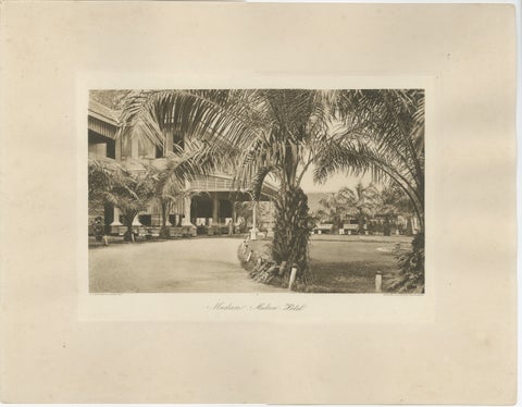 Medan Hotel, Antique Photogravure of Colonial Indonesia, c.1900
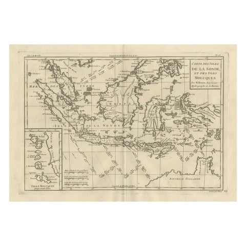 Antique East Indies Map by Rigobert Bonne, Copper Engraving, 1780
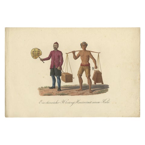 Original Print of a Chinese Peddler and His Day Laborer in Indonesia, ca 1830
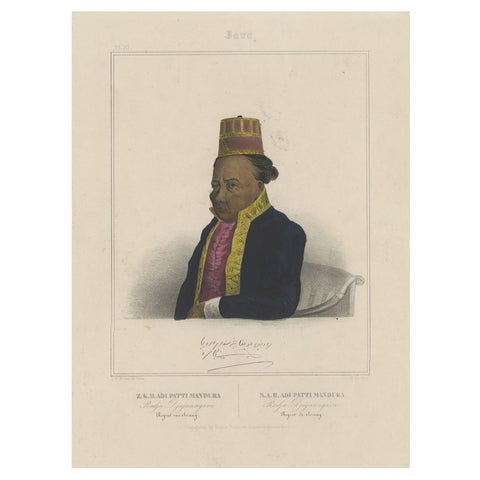 Portrait of Adi Patti Mandura, Raja Djajanagara, Regent of Serang on Java, 1844
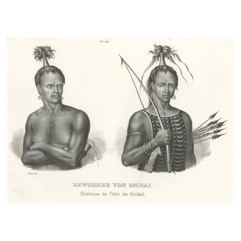 Antique Print of Warriors from Ombai Island, Alor, Archipel, Indonesia, ca.1845
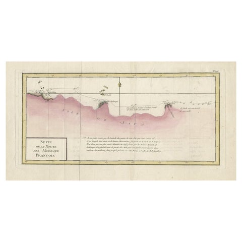 Antique Map of the Routes of Jean-françois de Galaup to Asia, 1787
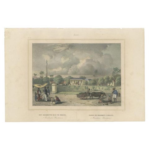 Antique Print of the Residence House in Serang, Java, Indonesia, 1844
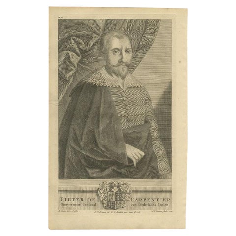 Antique Voc Portrait of De Carpentier, Governor-General of the Dutch East Indies
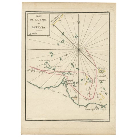 Interesting Map of the Thousand Islands in the Bay of Batavia 'Jakarta', ca.1740
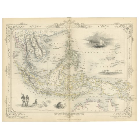 Antique Map of the Malay Archipelago with Images of Indigenous People, 1851
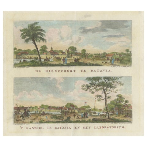 Dutch Colonial Views of Batavia – Diestpoort and Castle with Laboratory, c.1780
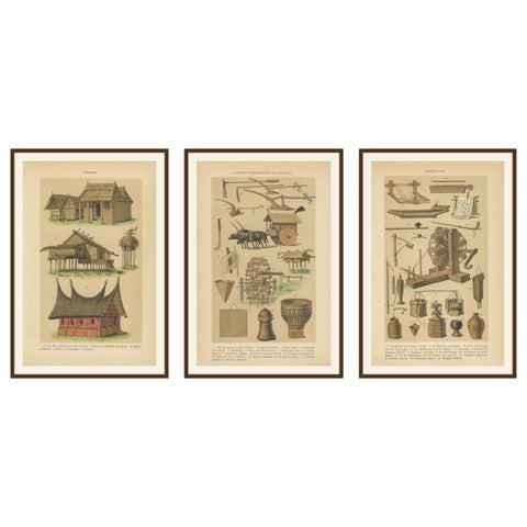 Antique Javanese Prints – Houses, Farming Tools & Household Utensils – c.1860
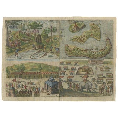 Mauritius, Banda Islands, Ternate and Tuban – Orlers, Leiden 1610
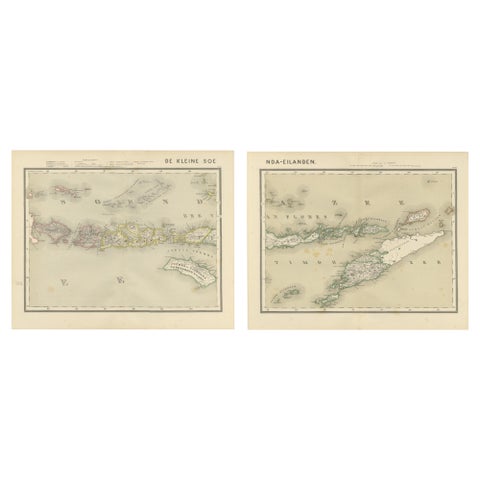 Antique Two-Sheet Map of the Lesser Sunda Islands, Dutch East Indies - 1884
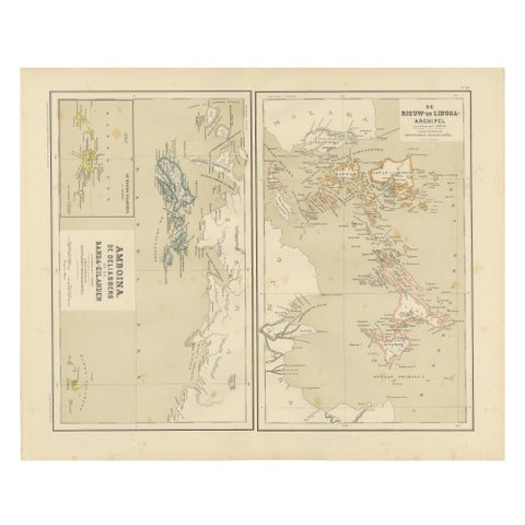 Antique Map of Riouw, Lingga Archipelago, Singapore, Banda by Dornseiffen - 1884
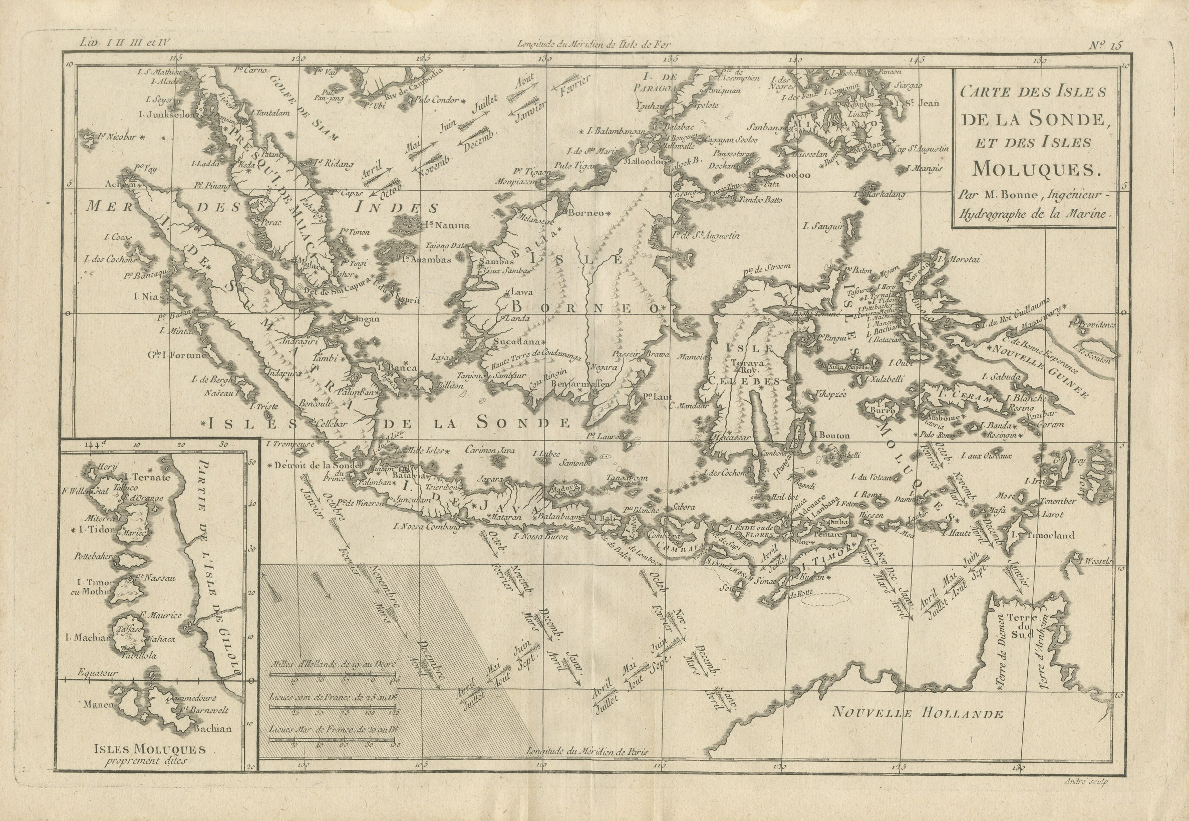 Antique Map of the Sunda Islands and the Moluccas by Bonne, circa 1780
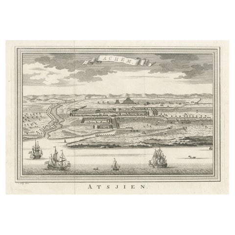 Decorative Original Antique Panoramic View of Atjeh on Sumatra, Indonesia, 1756
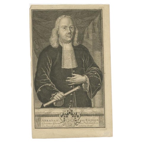 Antique Portrait of Abraham v Riebeeck Governor-General of the Dutch East Indies
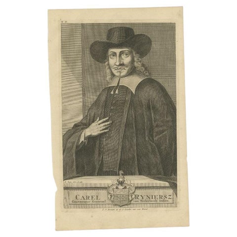 Antique Portrait of Carel Ryniersz, Governor-General of the Dutch East Indies
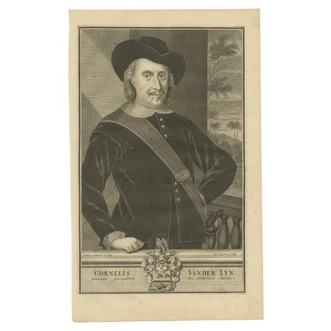 Antique Portrait of Cor van der Lijn Governor-General of the Dutch East Indies
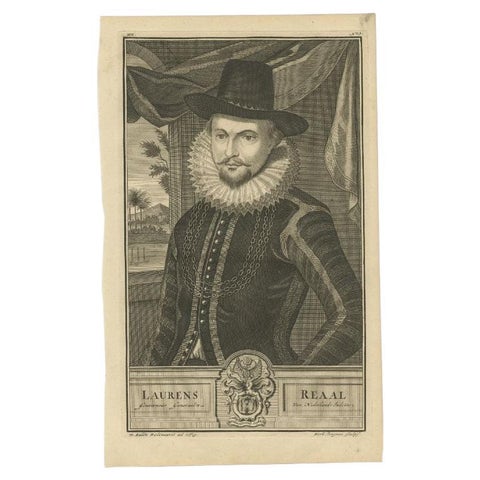 Antique Portrait of Laurens Reael, Governor-General of the Dutch East Indies
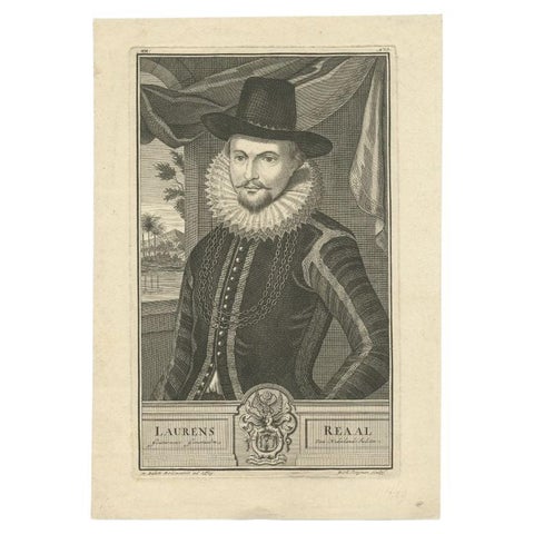 Old Portrait of Laurens Reael, Governor-General of the Dutch East Indies, 1726
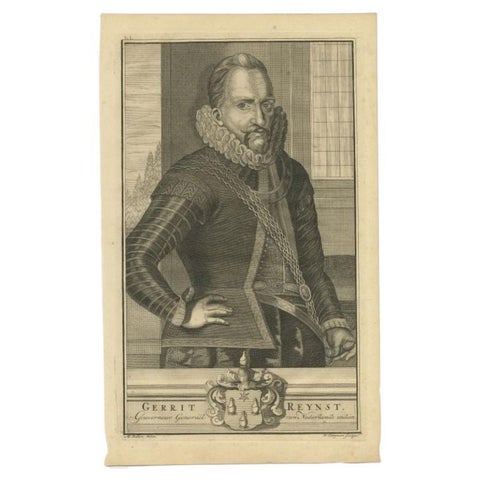 Old Portrait of Gerrit Reynst Governor-General of the Dutch East Indies, 1726
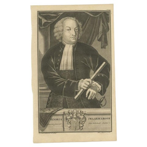 Antique Portrait of Hendrick Zwaardecroon, Governor of the Dutch East Indies
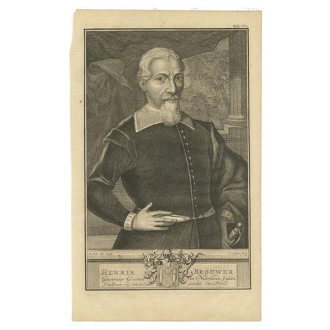 Antique Portrait of Hendrik Brouwer, Governor of the Dutch East Indies
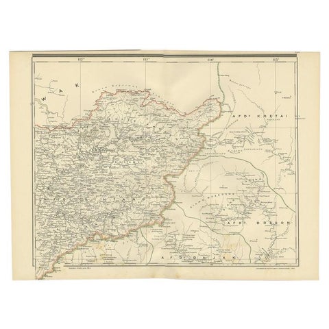 Antique Map of West Kalimantan (Schwaner Mountains), Borneo, Indonesia, 1900
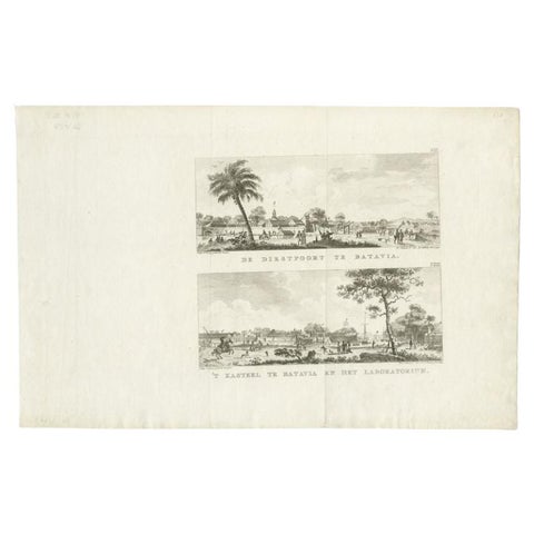 Antique Print with Two Views of Batavia by Conradi, 1782
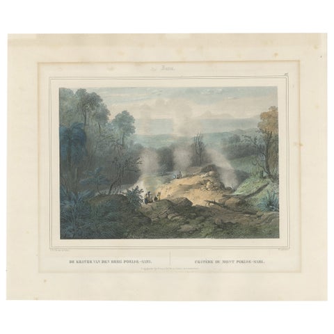 Antique Print of the Crater of Pulu-Sari, Indonesia, c.1845
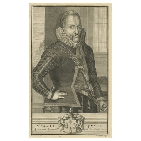 VOC Governor Gerrit Reynst: A Dutch Master of Colonial Trade - 1724 Engraving
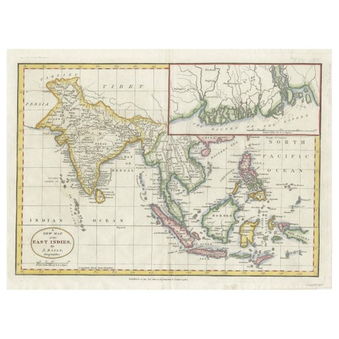 1782 Map of the East Indies – India, Siam, Philippines, Java, Borneo, Ganges
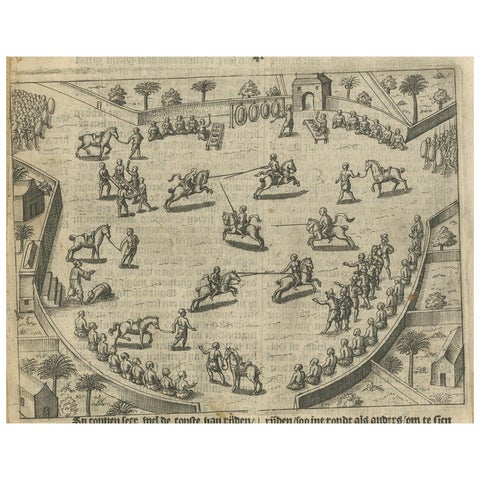 Earliest Depiction of Balinese Festival and Gamelan, Dutch Engraving c.1601
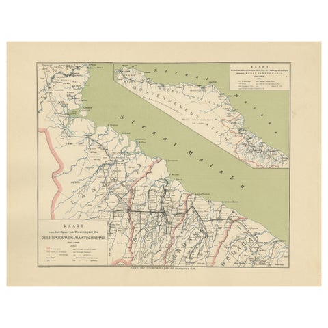 Deli Railway System Map, East Sumatra — Deli Spoorweg Maatschappij, c.1910
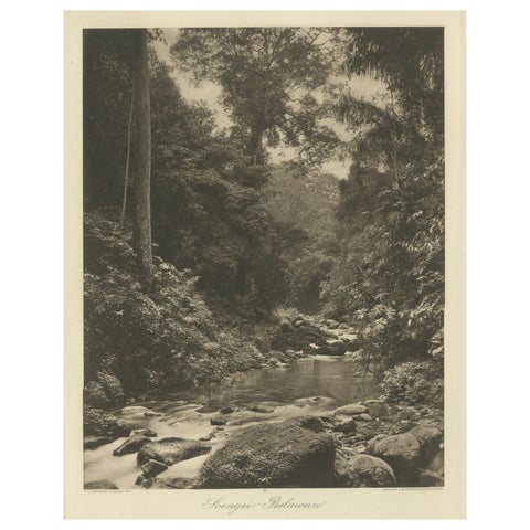 Soengei Belawan River, Medan – C.J. Kleingrothe Photo, Dutch East Indies c.1910
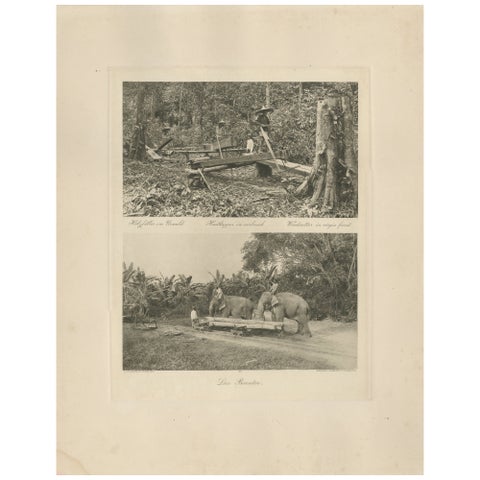 Logging Elephants, Lau Boentoe – Antique Dutch East Indies Photo c.1910
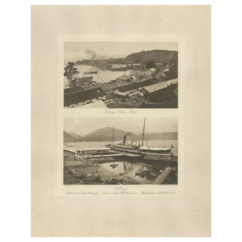 Sabang Port, Pulau Weh – Kleingrothe Dutch East Indies Coaling Photo c.1910
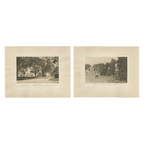 Coffee Fermentation Sheds and Harvest, Padang Roetan, Sumatra, c.1910
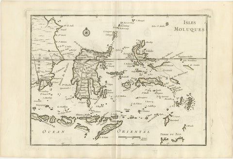 Antique Map of the Moluccas & Celebes, Le Rouge, French Engraving c.1750
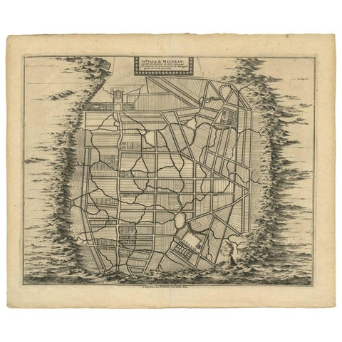 Antique Map of the City of Materan 'Indonesia' by P. van der Aa, circa 1725
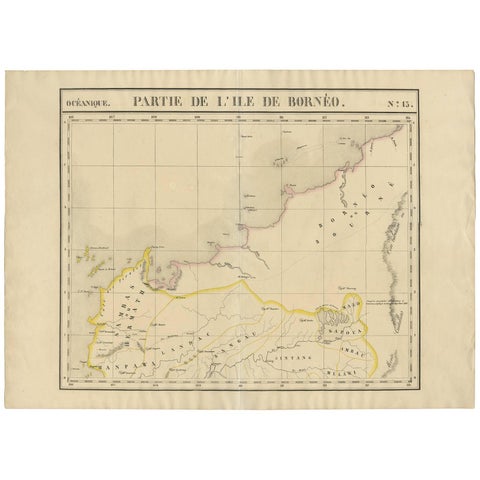 Antique Map of Borneo and Malaysia by P.M.G. Vandermaelen, 1827
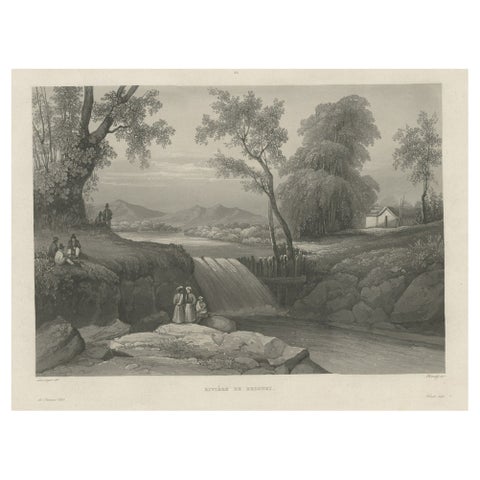 Original Antique Print of the Bezouki or Basuki River 'Java' in Indonesia, 1835
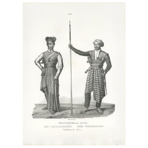 Antique Print of Inhabitants of Java (Indonesia) by Honegger (1845)
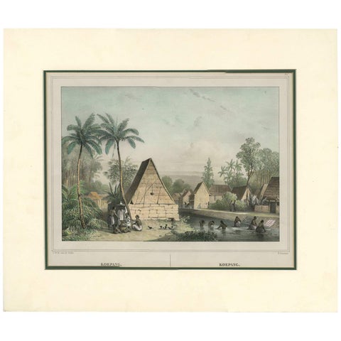 Antique Print of Koepang 'Timor, Indonesia' by C.W.M. Van De Velde, 1844
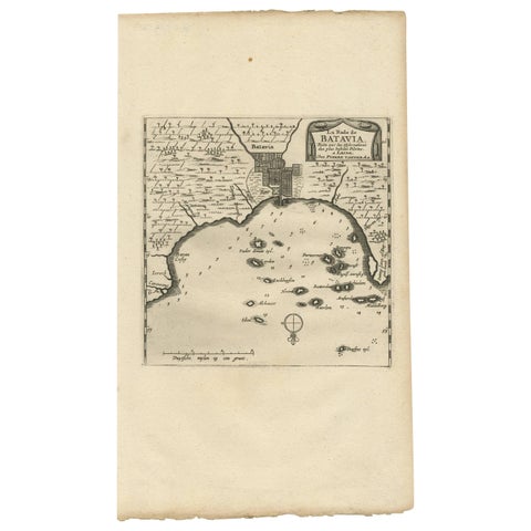 Antique Map of Batavia, Jakarta, Indonesia by P. Van Der Aa, 1719
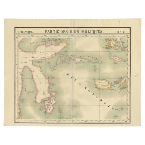 Old Map of the Moluccas and Part of Sulawesi Indonesia by Vandermaelen, c 1825
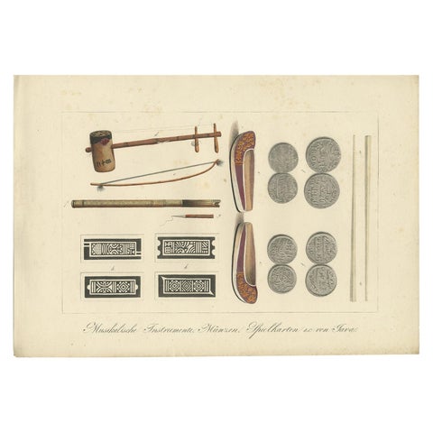 Print of Musical Instruments and Other Items of Java by Hurter 'circa 1830'
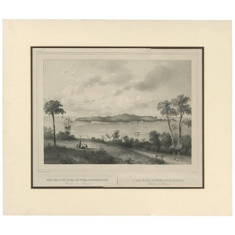 Antique Print of the Roadstead of Riau 'Indonesia' by C.W.M. van de Velde, 1844
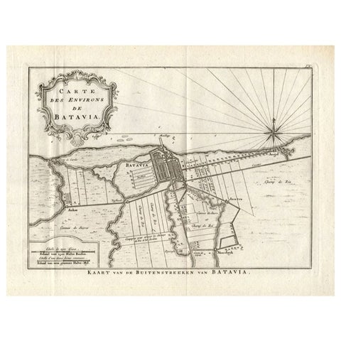 Antique Map of the Region of Batavia by Conrade, 1782
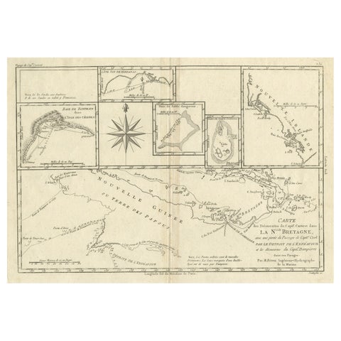 Antique Detailed Map of Papua New Guinea and the Regions to the West, ca.1780
Sharing the sale? Download the Black Friday banners.