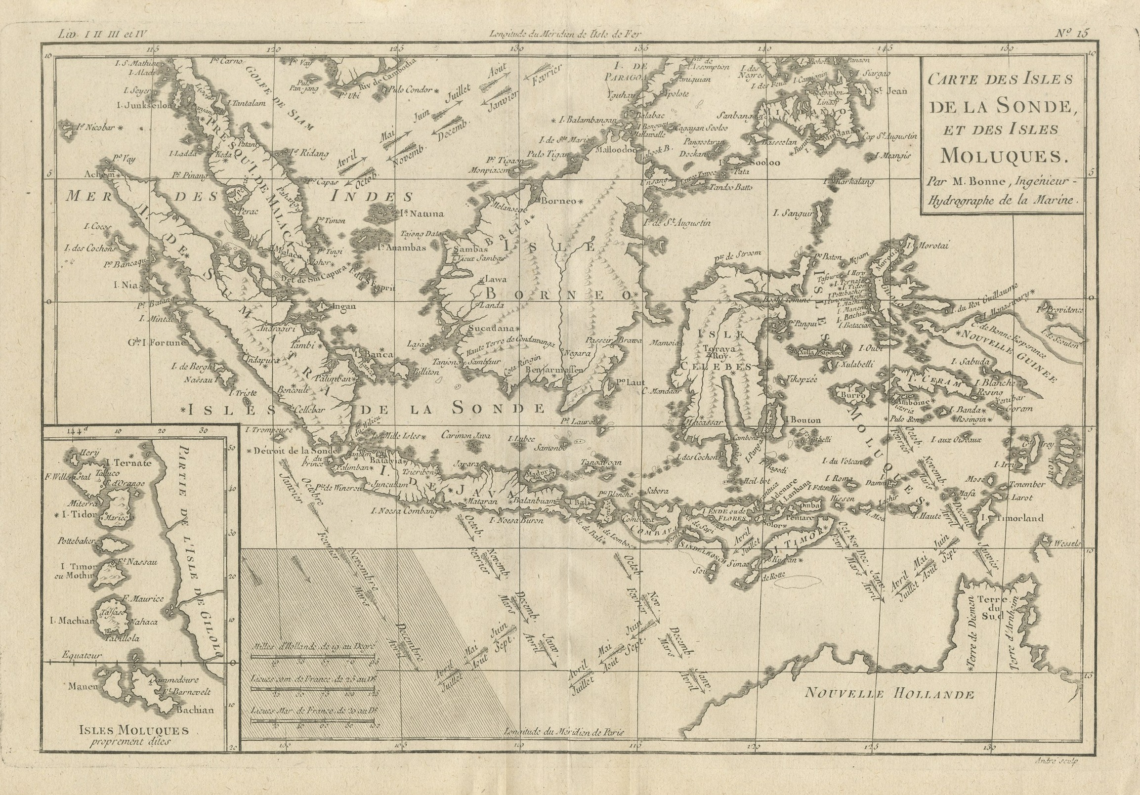
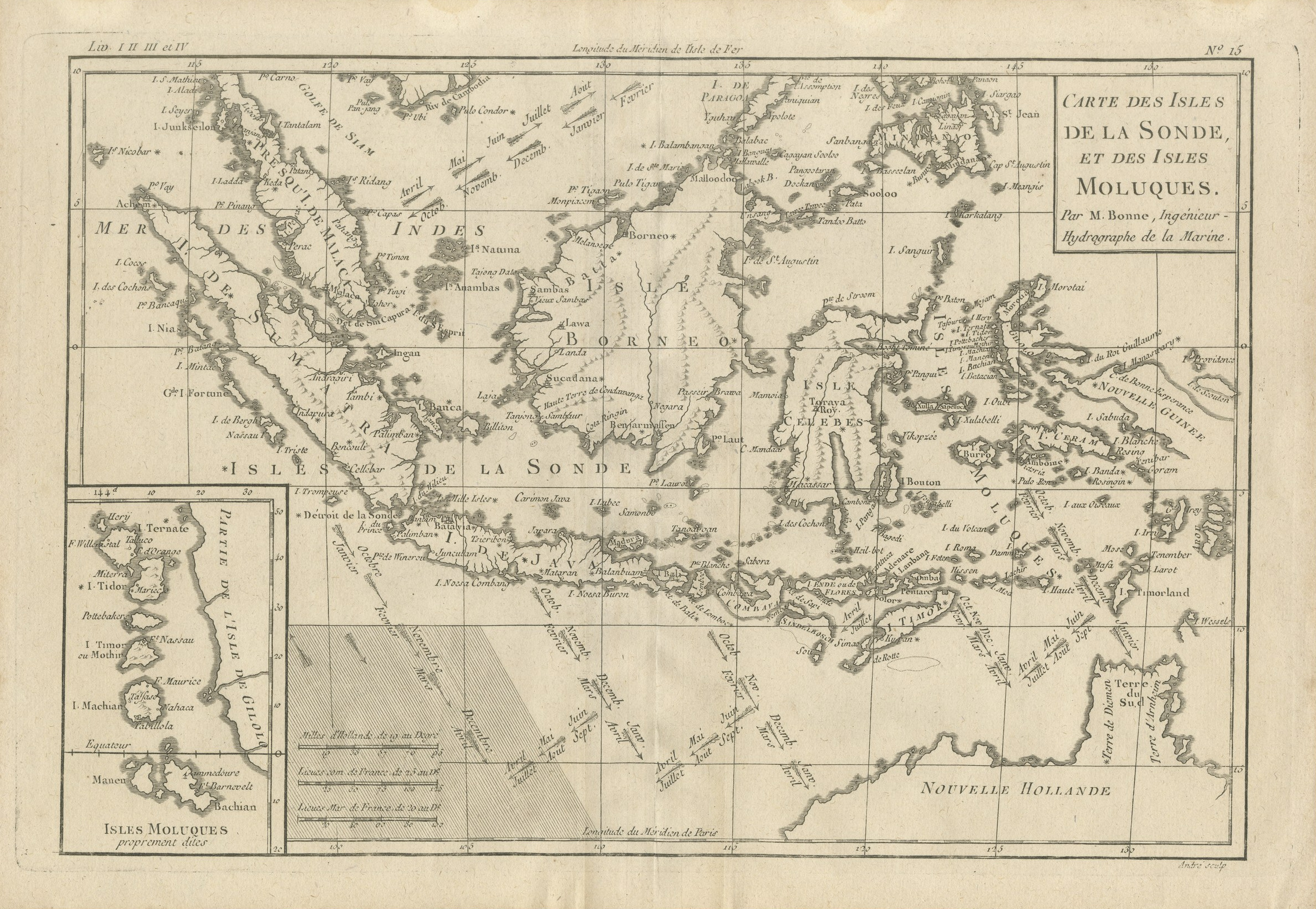
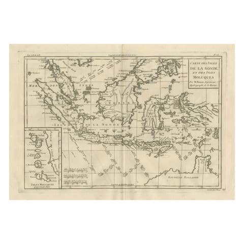
Antique Map of the Sunda Islands and the Moluccas by Bonne, circa 1780
€ 330
Original antique · The actual sheet photographed · Certificate of authenticity on request · Sold unframed · Worldwide shipping from € 15 (rates)
Date
circa 1780
Mapmaker / artist
Rigobert Bonne, hydrographer
Publisher
Published in Paris
Technique
Copper Engraving
Coloring
Uncolored
Sheet size
25 × 36 cm (9.8 × 14.2 in)
Condition
Good
Reference
BG-14426
What the condition grades mean
Excellent
Bright and clean, with no faults worth mentioning.
Very good
Only light signs of age, such as faint toning.
Good
Normal signs of age for a sheet of this period: toning, some foxing, small marks or neat old repairs.
Fair
Clear faults such as staining, tears or repairs, priced to match.
Every fault we see is written in the condition note, and the whole sheet is shown uncropped in the photos.
Condition
Light uneven toning, browner towards the edges. Handling soiling along the right edge. Scattered light foxing in the margin. Slight wear at the top left corner.
About this sheet
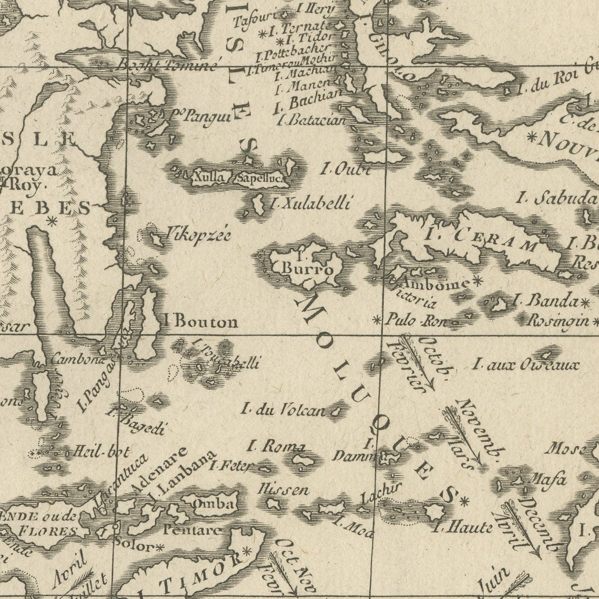
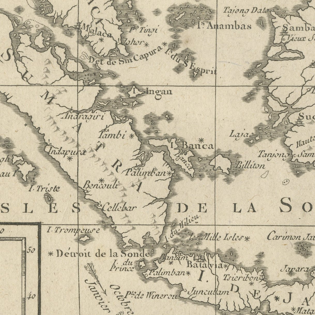
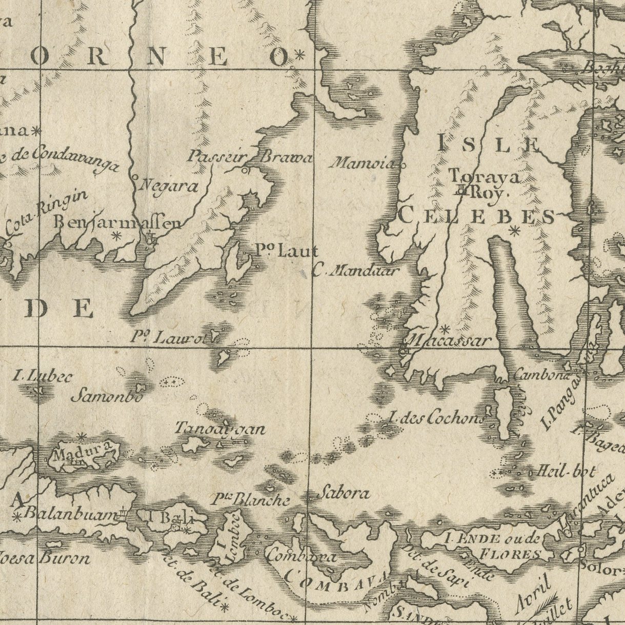
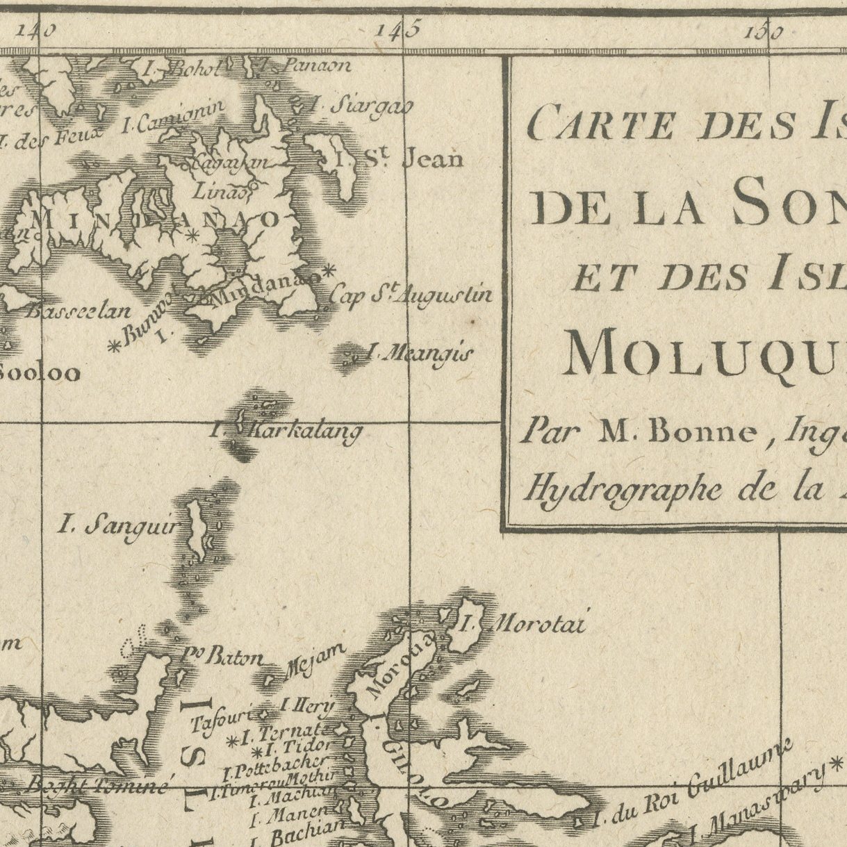
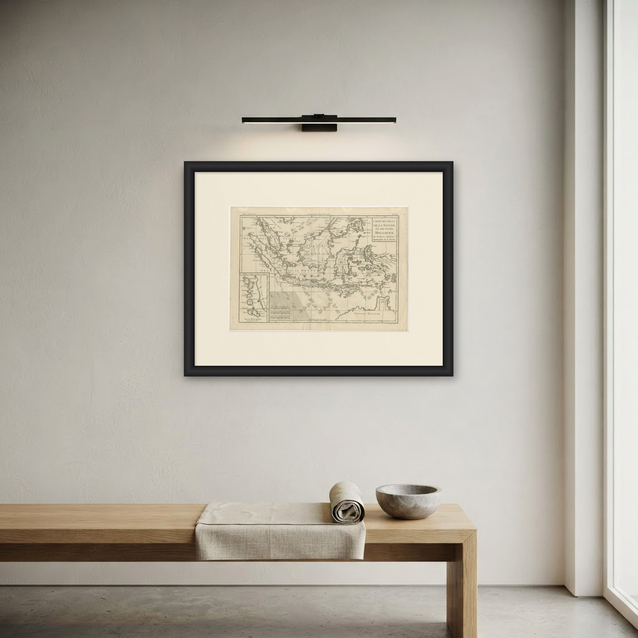
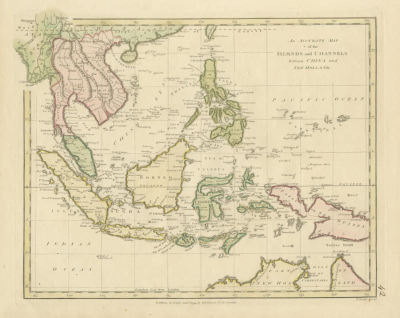
An original antique chart of the Indonesian archipelago, numbered 15 at the upper right and lettered in a ruled panel CARTE DES ISLES DE LA SONDE, ET DES ISLES MOLUQUES, Par M. Bonne, Ingenieur Hydrographe de la Marine. The sheet runs from Sumatra and Java across Borneo, Celebes and the Moluccas to Mindanao and the southern Philippines, with the north coast of Australia lettered NOUVELLE HOLLANDE at the lower right. An inset at the lower left carries the Moluccas at a larger scale. The engraving is fine and close, every island and shoal named, with no color.
Rigobert Bonne succeeded Jacques Nicolas Bellin as hydrographer to the French navy and produced the charts for several of the great French atlases of the later eighteenth century, including the Atlas Encyclopedique. His work is valued for its accuracy rather than its ornament: there is no cartouche beyond the ruled title panel and no decoration anywhere on the sheet.
The map puts the whole Indonesian archipelago on one sheet at a scale where individual islands can be found. The uncolored sheet shows the engraving itself at its clearest. It covers Indonesia, Malaysia and the Philippines together, and it frames neatly.
Light uneven toning, browner towards the edges. Handling soiling along the right edge. Scattered light foxing in the margin. Slight wear at the top left corner.
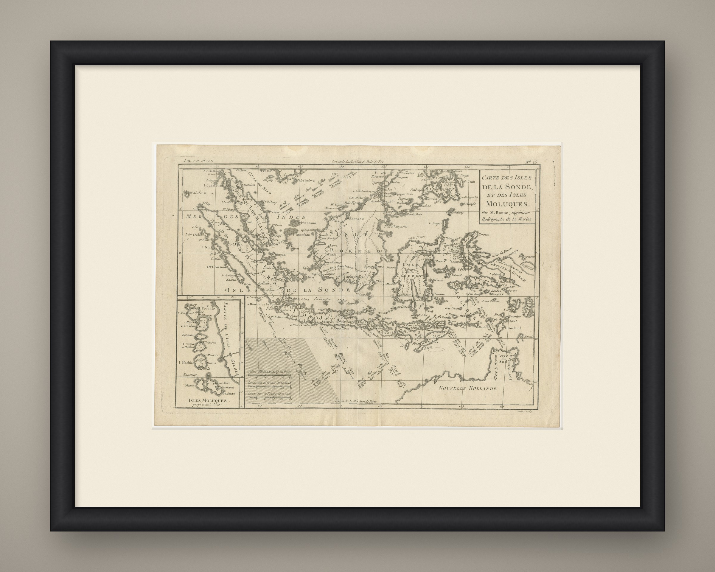
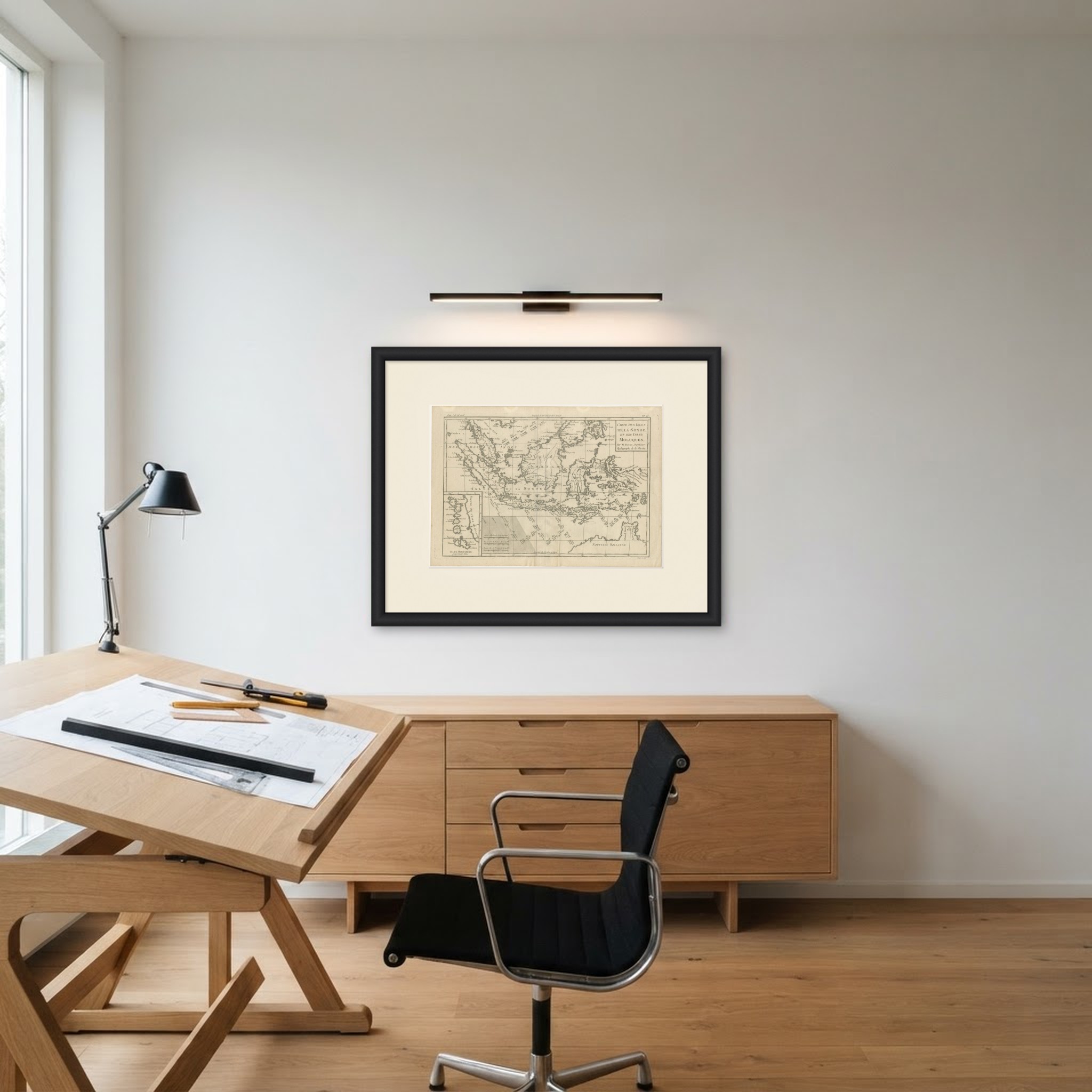
This is an original antique map, not a modern reproduction. This item is sold unframed. Any framed or interior images are shown for presentation and inspiration only, unless the listing explicitly states that the item is sold framed.