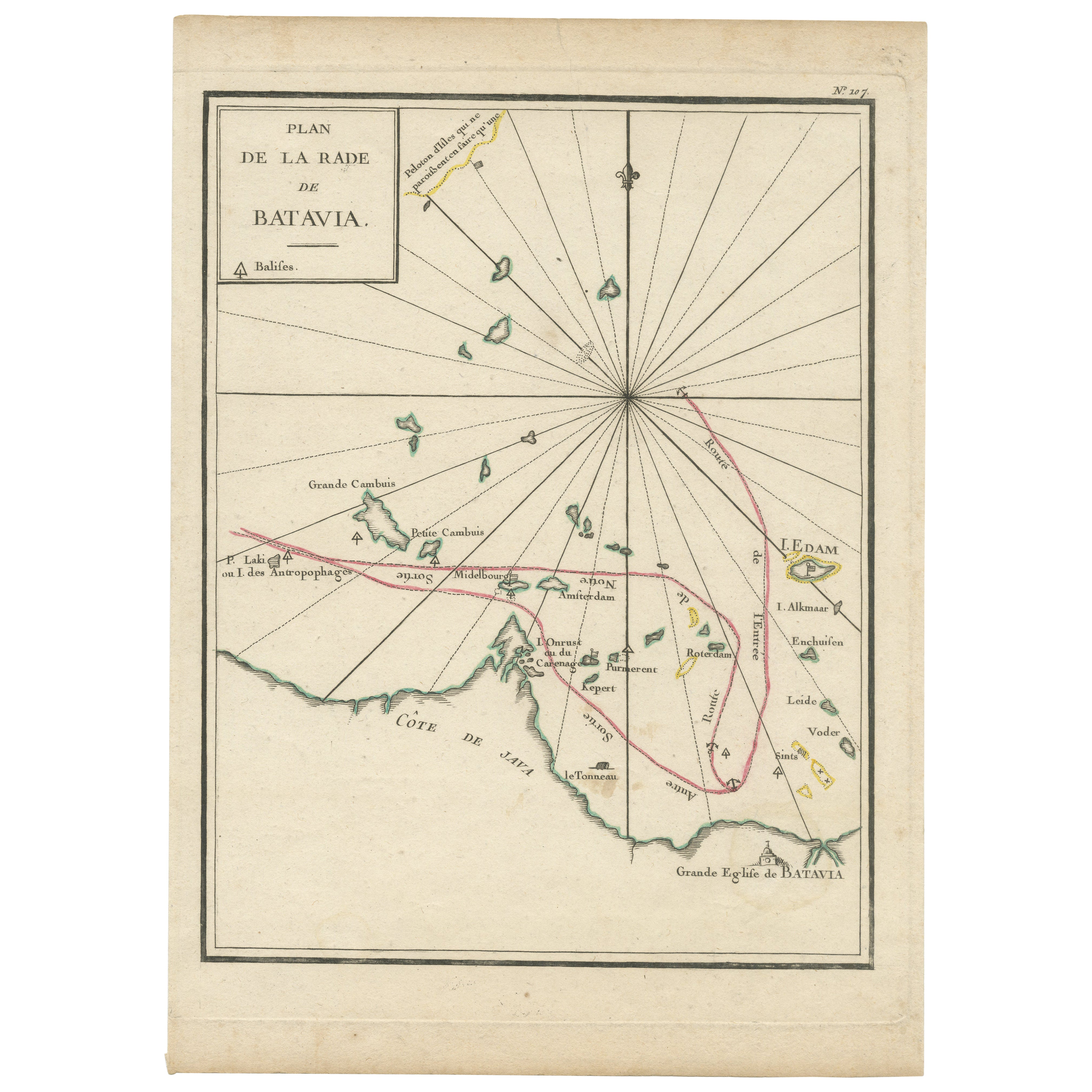
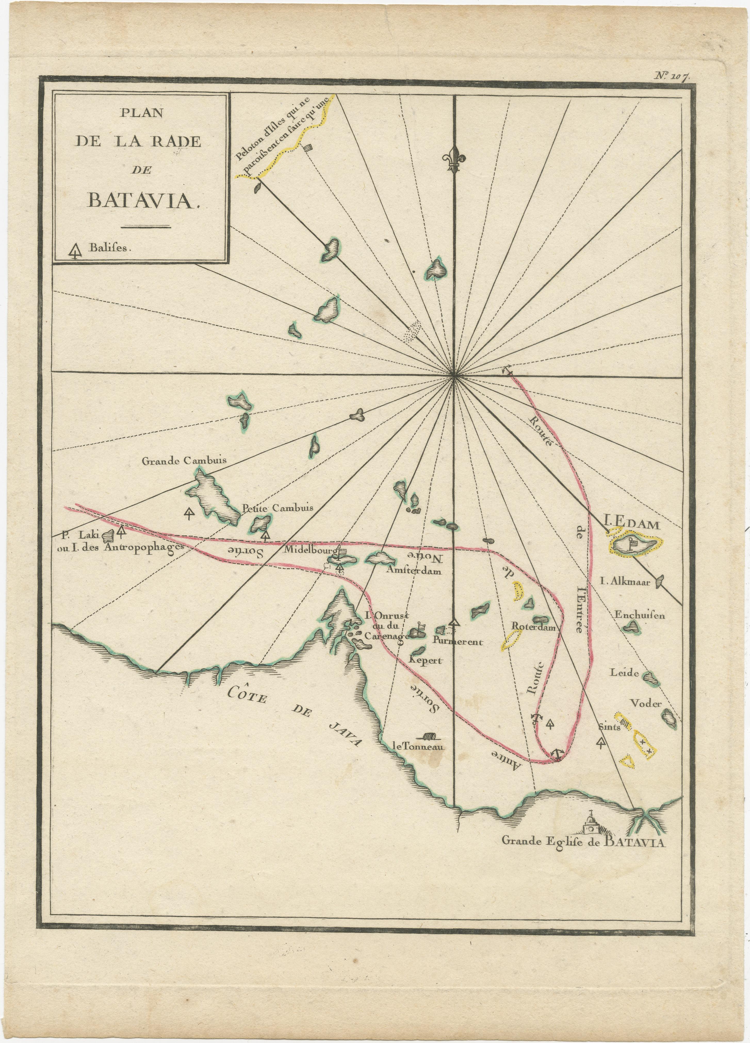
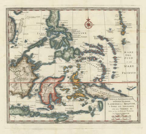
Interesting Map of the Thousand Islands in the Bay of Batavia 'Jakarta', ca.1740
€ 340
One of a kind: this is the sheet in the photographs. Ships from Langweer, the Netherlands.
Date
1740
Technique
Engraved
Sheet size
29 × 21 cm (11.4 × 8.3 in)
Condition
Good
Reference
BG-13163-4
Condition
Very good with a few light brown stains. Study the image carefully.
About this sheet
A single unfolded page border colored engraved map, printed no. 107 in top corner. This same map is found as plate 107 in Atlas Universelle aus dem Jahre 1787 by Philippe de Pretot but this is a larger version from an unknown publication. There are also copies of this map in Le Petit Atlas maritime recueil de cartes et plans des quatre parties du Monde. Paris: Bellin, 1764, but again they are smaller. Map in near fine condition, escept for a few light stained spots. .
It shows the island region in the bay of nowadays Jakarta, the capital in Indonesia on the island of Java. When these islands where under control of the Dutch, many were named after Dutch cities, like Edam Island, Alkmaar Island, Purmerent, Middelburg. The island Onrust (pulau Onrust) was known as an excellent hub to repair large ships. According to Captain Cook it was on of the best places in the world to repair ships. The island is still a very popular destination for tourists.