Antique Maps of Province of Friesland
194 original sheets
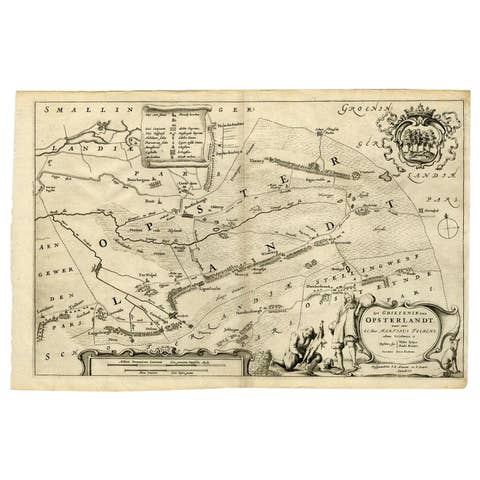
Antique Map of the Region of Opsterland by Schotanus, 1664
1664 · € 270
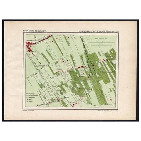
Antique Map of the Region of Oranjewoud by Kuyper, 1868
1868 · € 115
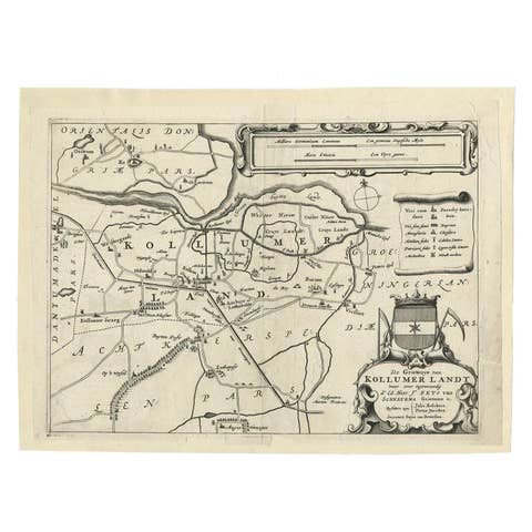
Antique Map of the Region of Kollumerland by Schotanus, 1664
1664 · € 118
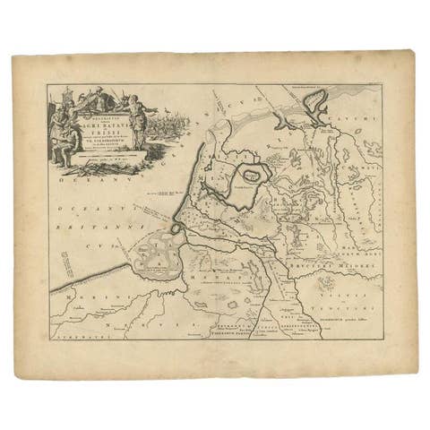
Antique Map of the Old Land of Batavia and FriesLand, The Netherlands, 1697
1697 · € 189
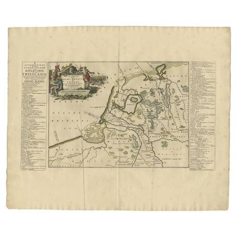
Antique Map of the Old Land of Batavia and Friesland by Halma, 1718
1718 · € 255
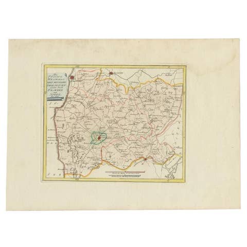
Bolsward & Sneek, Westergo (Friesland) – von Reilly antique map, 1791
1791 · € 240
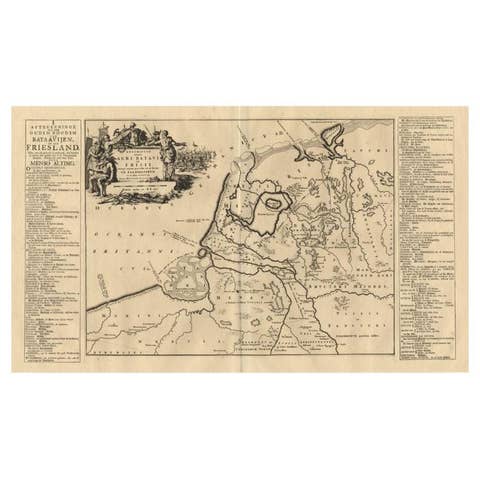
Antique Map of the Old Land of Batavia and Friesland by Halma, 1718
1718 · € 230
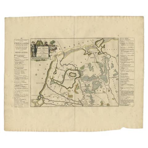
Antique Map of the Old Lands of FriesLand by Halma, 1718
1718 · € 255
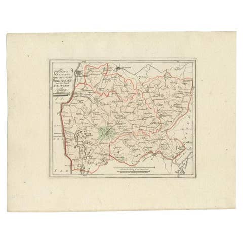
Antique Map of the Region of Bolsward and Sneek by Von Reilly, 1791
1791 · € 158
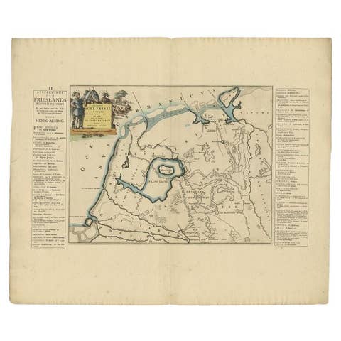
Antique Map of the Old Lands of Friesland by Halma, 1718
1718 · € 230
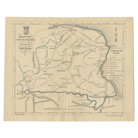
Antique Map of the Oost-Dongeradeel Township by Behrns, 1861
1861 · € 89
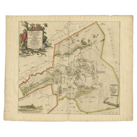
Antique Map of the Ooststellingwerf Township Friesland by Halma, 1718
1718 · € 389
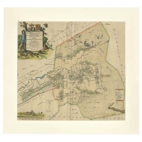
Antique Map of the Ooststellingwerf Township Friesland by Halma, 1718
1718 · € 420
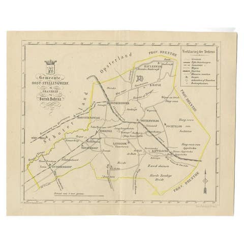
Antique Map of the Oost-Stellingwerf Township by Behrns, 1861
1861 · € 89
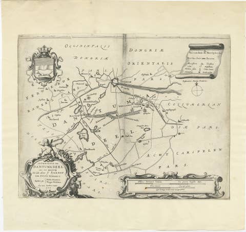
Antique Map of the Region of Dantumadeel by Schotanus, 1664
1664 · € 140
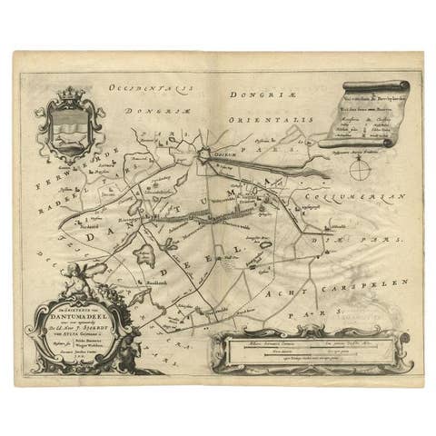
Antique Map of the Region of Dantumadeel, Friesland, The Netherlands, 1664
1664 · € 195
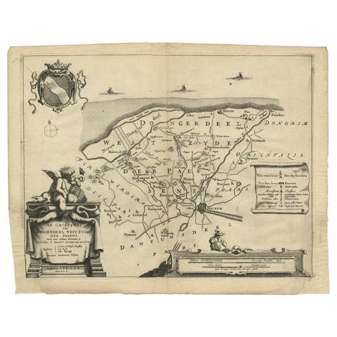
Antique Map of the Region of Dongeradeel by Schotanus, 1664
1664 · € 148
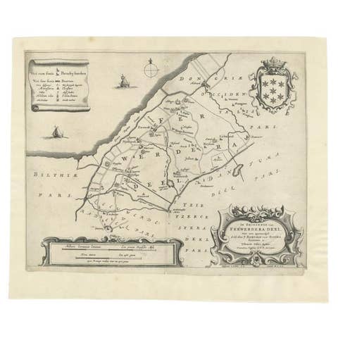
Antique Map of the Region of Ferwerderadeel in The Netherlands, 1664
1664 · € 160
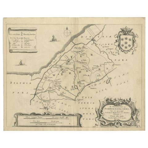
Antique Map of the Region of Ferwerderadeel by Schotanus, 1664
1664 · € 110
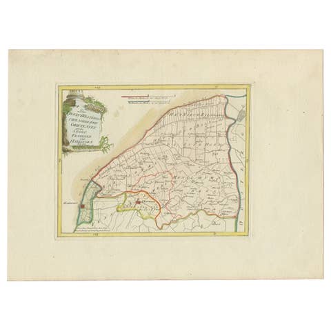
Rare 1791 von Reilly Map of Franeker and Harlingen, Friesland, Netherlands
1791 · € 390
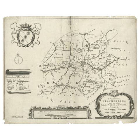
Rare Antique Map of the Region of Franekeradeel, The Netherlands 1664
1664 · € 123
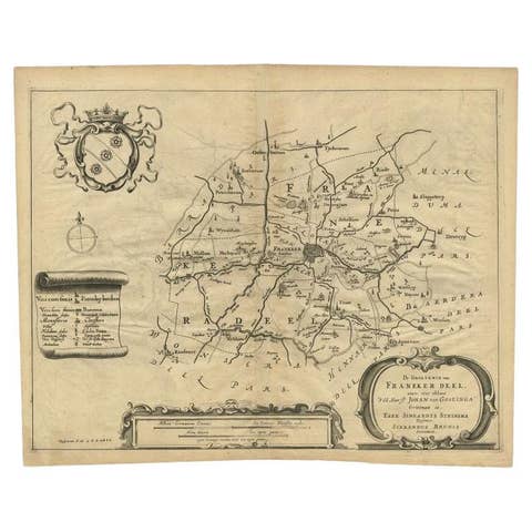
Antique Map of the Region of Franekeradeel, Friesland, The Netherlands, 1664
1664 · € 195
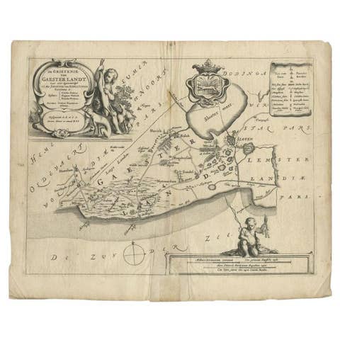
Antique Map of the Region of Gaasterland, Friesland, The Netherlands, 1664
1664 · € 120
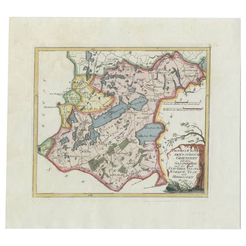
Antique Map of the Region of Gaasterland, Friesland, The Netherlands, 1791
1791 · € 360
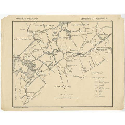
Antique Map of the Region of Utingeradeel by Meijer & Schaafsma, 1906
1906 · € 87
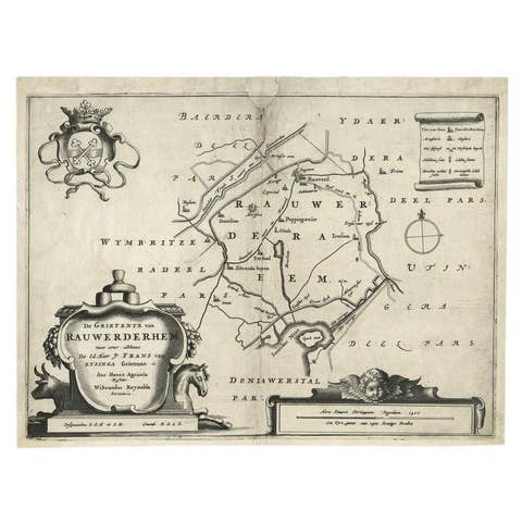
Antique Map of the Region of Rauwerderhem, Friesland, The Netherlands, '1664'
1664 · € 220
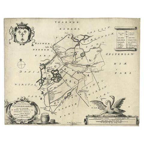
Antique Map of the Region of Utingeradeel in Friesland, The Netherlands, 1664
1664 · € 290
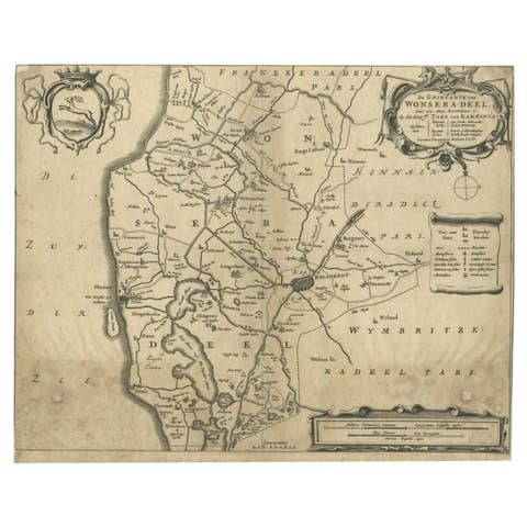
Antique Map of the Region of Wonseradeel by Schotanus, 1664
1664 · € 90
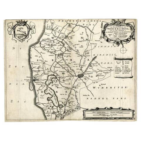
Antique Map of the Region of Wonseradeel, Friesland in the Netherlands, 1664
1664 · € 190
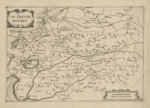
Antique Map of the Region of Zevenwouden, Friesland, The Netherlands, 1660
1660 · € 260
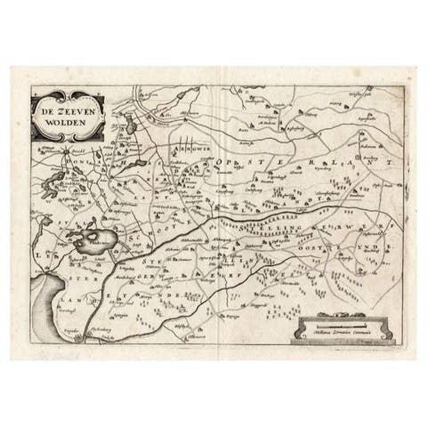
Antique Map of the Region of Zevenwouden in Friesland, The Netherlands, 1635
1635 · € 350
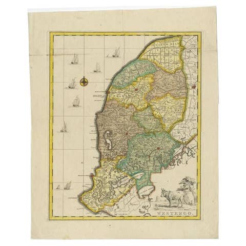
Antique Map of Westergo, Friesland in the the Netherlands, by Tirion, 1744
1744 · € 640
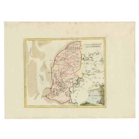
Antique Map of Westergo in Friesland, 1791
1791 · € 380
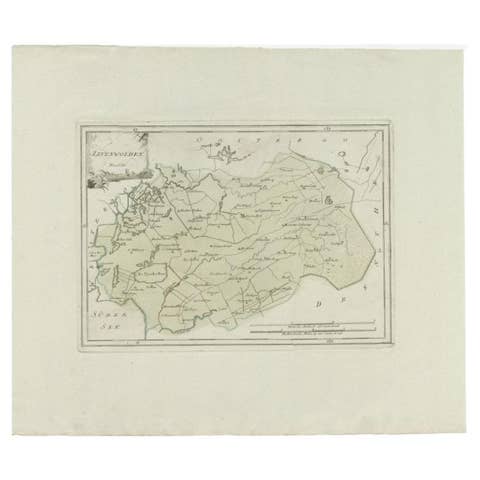
Zevenwolden, Friesland – von Reilly antique map, 1791
1791 · € 162

Antique Map of Zevenwolden by Von Reilly, 1791
1791 · € 211
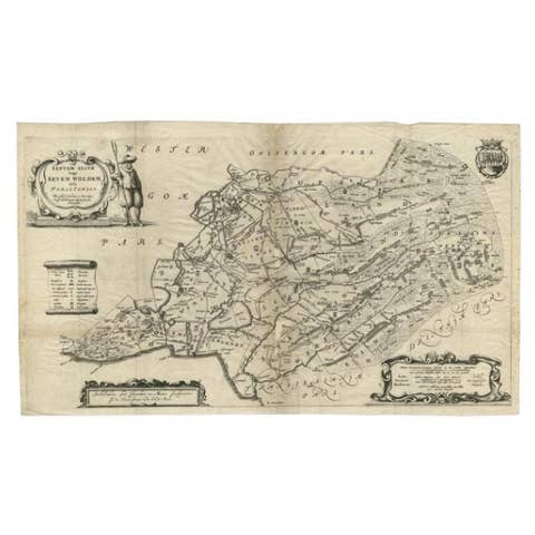
Antique Map of Zevenwouden in Friesland by Schotanus, 1664
1664 · € 290
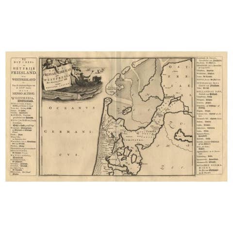
Antique Map of the West-Frisian Part of Independant Friesland by Halma, 1718
1718 · € 185
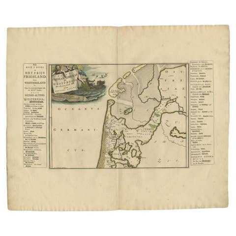
Antique Map of the West-Frisian part of independent Friesland by Halma, 1718
1718 · € 255
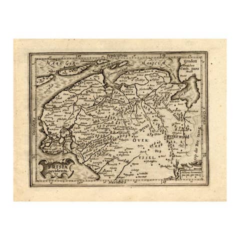
Antique Map of Friesland by Guicciardini, 1613
1613 · € 280
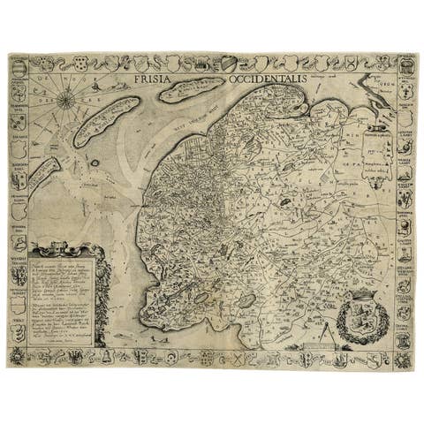
Frisia Occidentalis, A Rare Antique Engraving of Friesland, The Netherlands
€ 2 450
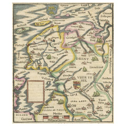
Friesland, Groningen and Overijssel – Rare Woodcut Map by Münster, c. 1550
1550 · € 460
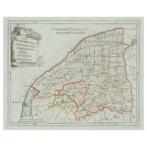
Antique Map of Franeker and Harlingen, Friesland by von Reilly, 1791
1791 · € 390
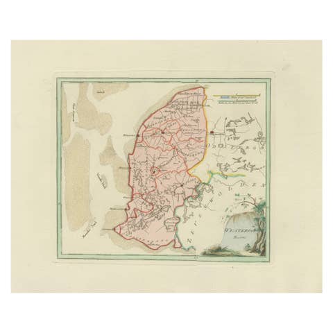
Antique Map of Southern Westergo, Friesland by von Reilly, 1791
1791 · € 390
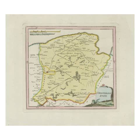
Antique Map of Oostergo, Friesland by von Reilly, 1791
1791 · € 390
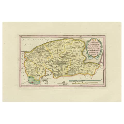
Antique Map of Leeuwarden and Dokkum, Friesland by von Reilly, 1791
1791 · € 430
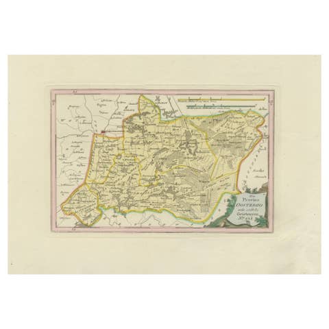
Antique Map of Eastern Oostergo, Friesland by von Reilly, 1791
1791 · € 390
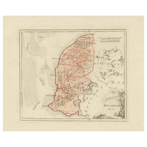
Antique Dutch Map – Westergo Region in Friesland by von Reilly, 1791
1791 · € 380
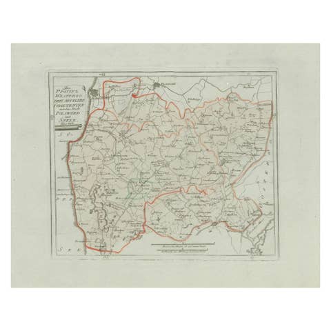
Antique Map of Sneek and Bolsward, Friesland – Dutch Provincial Map, 1791
1791 · € 380