Original antique · The actual sheet photographed · Certificate of authenticity on request · Sold unframed · Worldwide shipping from € 15 (rates)
Date
1613
Sheet size
17.5 × 23.5 cm (6.9 × 9.3 in)
Condition
Good
Reference
PCT-15754
Condition
General age related toning and occasional light staining from handling. Please review the images for further condition details.
About this sheet
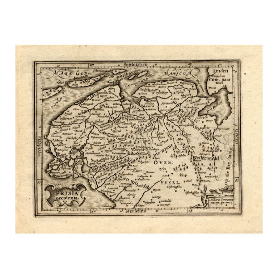
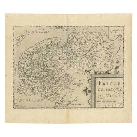
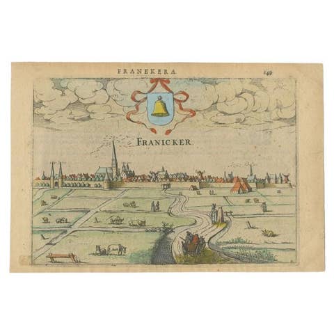
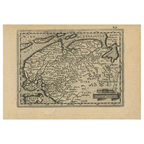
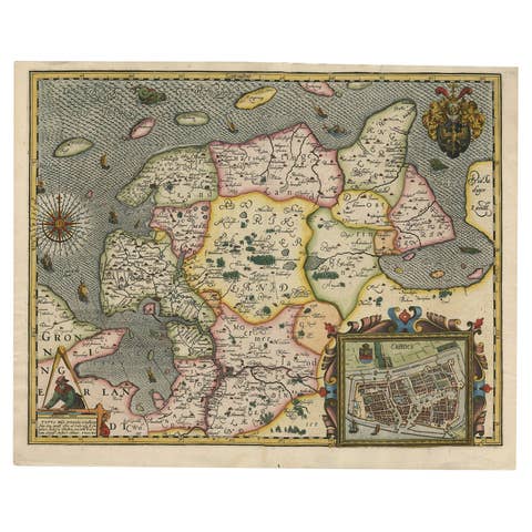
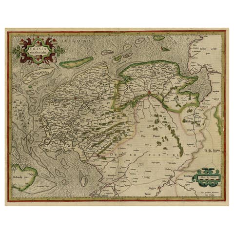
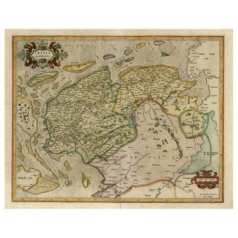
Antique map titled 'Frisia Occidenta.' (Map of the province of Friesland, the Netherlands.) This original old antique print / plate originates from the scarse French edition of 'Description de touts les Pays-Bas ...', by L. Guicciardini, published by Jan Janszn., Arnhem and Petrus van der Keere, Amsterdam in 1613.
Artists and Engravers: The author of this work: Lodovico Guicciardini (1521-1589): Italian merchant from aristocratic descent. He was born in Florence, a son of Jacopo Guicciardini. His uncle was the famous author Francesco Guicciardini (1483-1540) who wrote 'La historia di Italia'. The Guicciardini family established a presence in Antwerp and in 1541 Lodovico arrived to work with his uncle. At the same time they functioned as informents for the Medici's back home. He stayed until his death. At one point he was accused with his brother Giovan Battista of killing Gaspare Ducci, who they held resposible for their bancruptcy in 1543. Lodovico apparently started writing in 1552 and in 1556 he published his first work 'Comentarii della......', about European history. In 1567 he got the 'Descrittione....' published. He wrote a few more works. In 1569 he landed in jail because he critisized Alva's policies. In 1582 he landed in jail again because he apparently knew Jean Jaureguy, who tried to kill William of Orange, but he was released soon. Although he had been prosperous at times he ended a poor man. Plates engraved by the very skilled Pieter van den Keere or Petrus Kaerius (1571-1646), a Flemish engraver, publisher and globe maker.
Condition: Good. General age related toning and occasional light staining from handling. Please study image carefully. Date: 1613 Overall size: 23.5 x 17.5 cm. Image size: 18 x 13.5 cm.
We sell original antique maps to collectors, historians, educators and interior decorators all over the world. Our collection includes a wide range of authentic antique maps from the 16th to the 20th centuries. Buying and collecting antique maps is a tradition that goes back hundreds of years. Antique maps have proved a richly rewarding investment over the past decade, thanks to a growing appreciation of their unique historical appeal. Today the decorative qualities of antique maps are widely recognized by interior designers who appreciate their beauty and design flexibility. Depending on the individual map, presentation, and context, a rare or antique map can be modern, traditional, abstract, figurative, serious or whimsical.