About this sheet
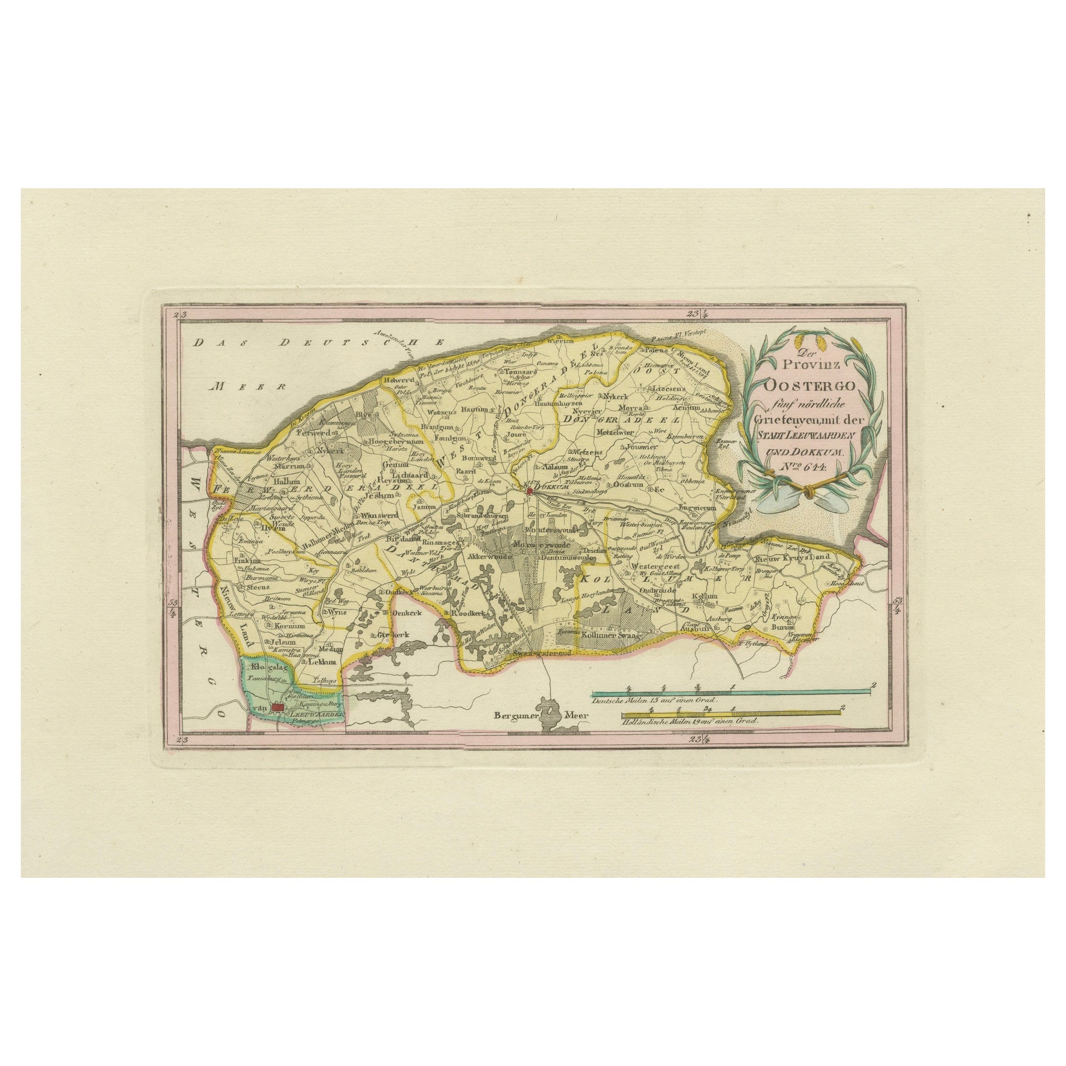
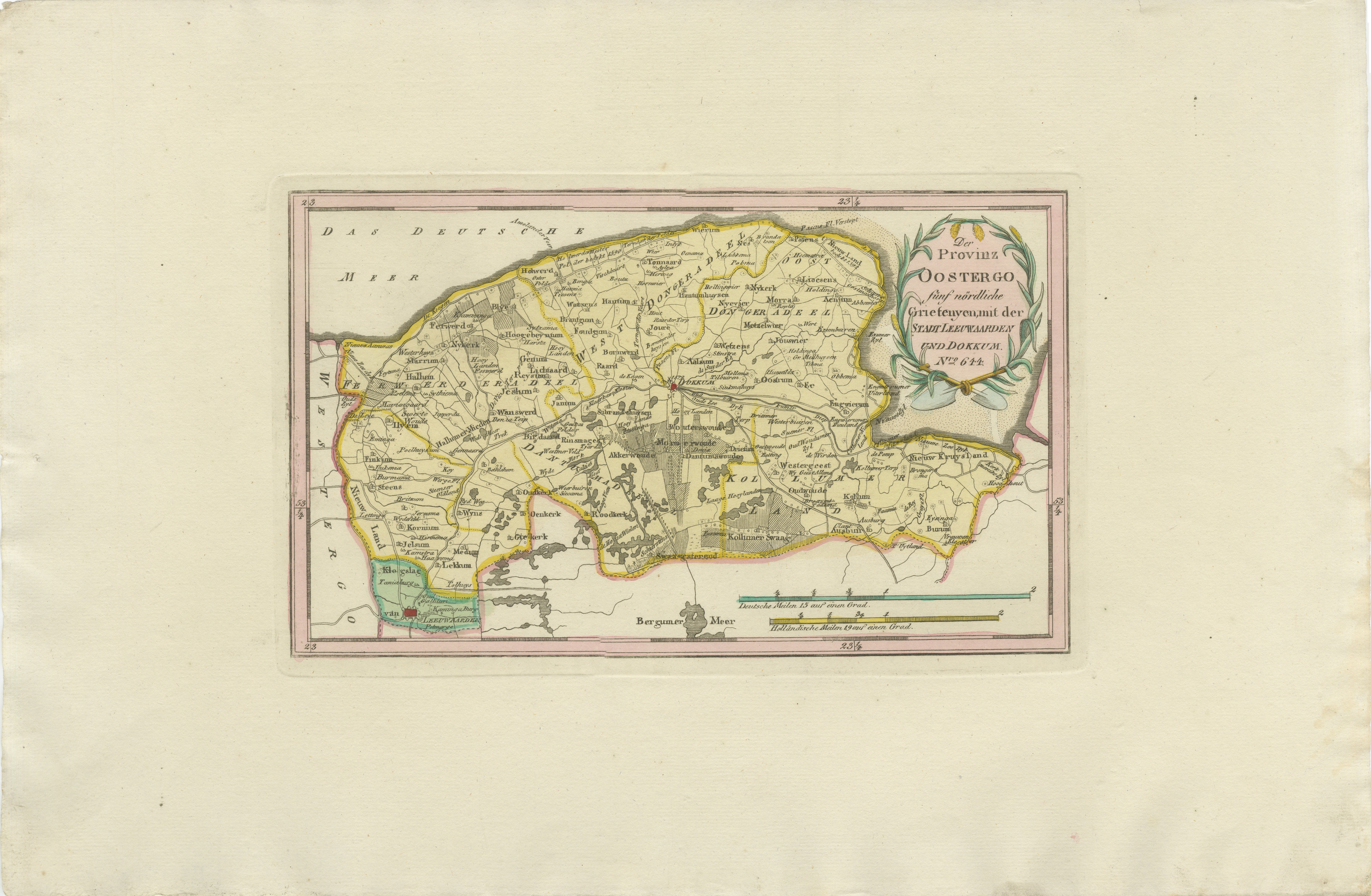
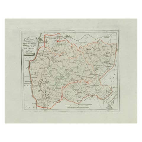
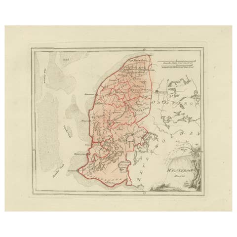
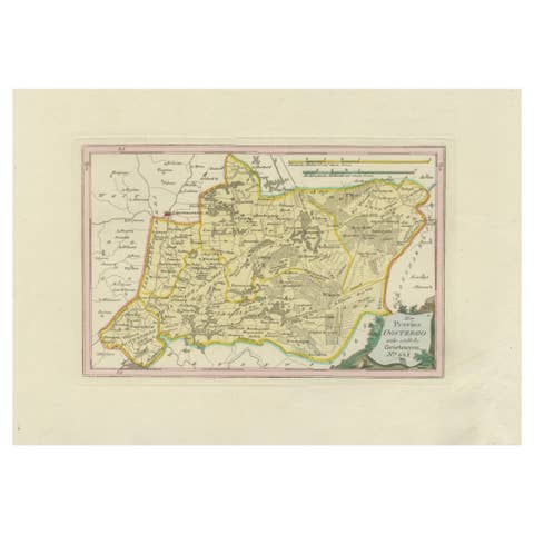
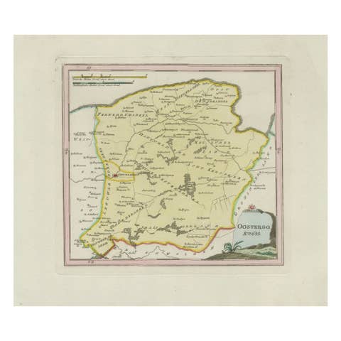
Antique Map of Leeuwarden and Dokkum, Friesland by von Reilly, 1791
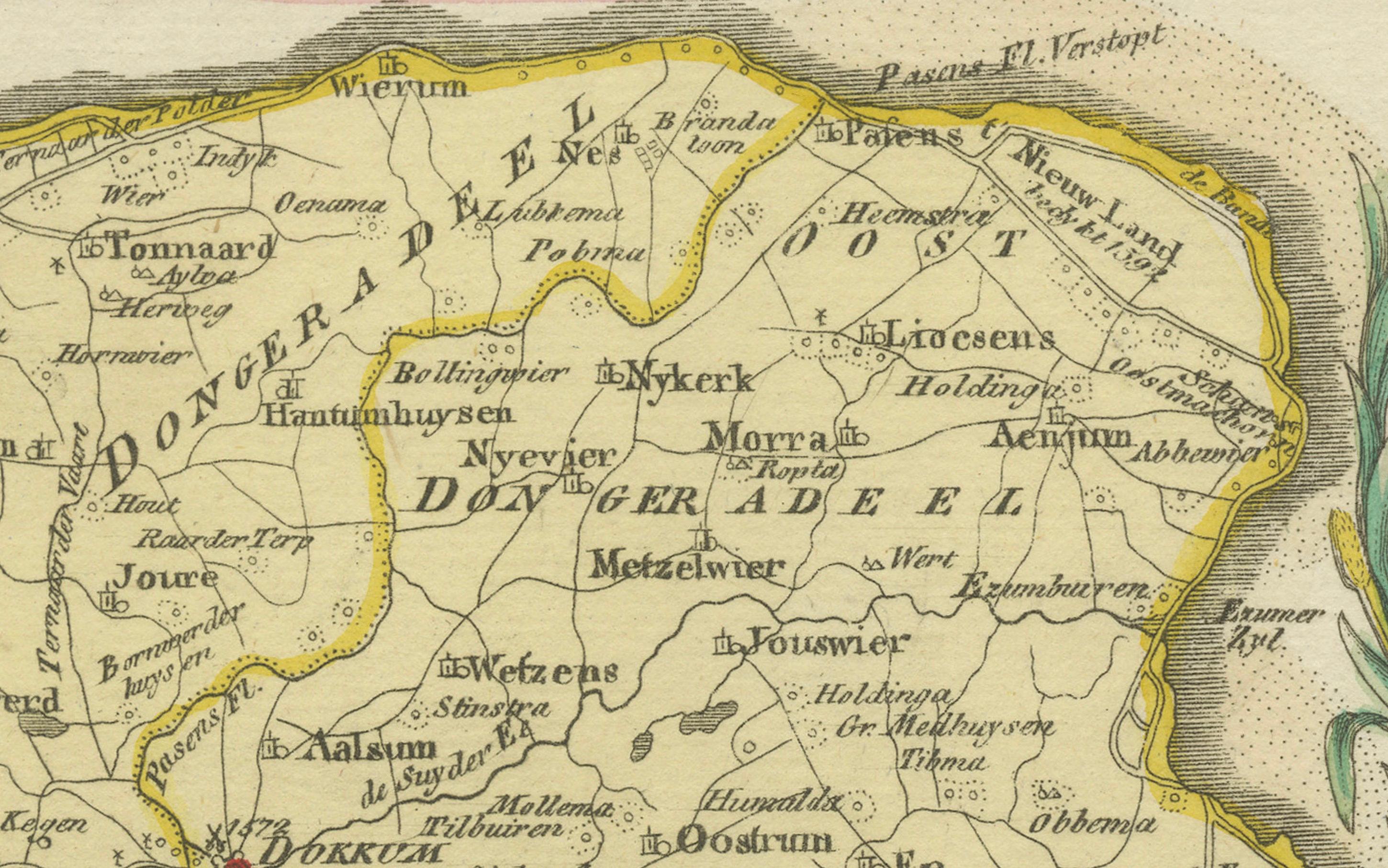
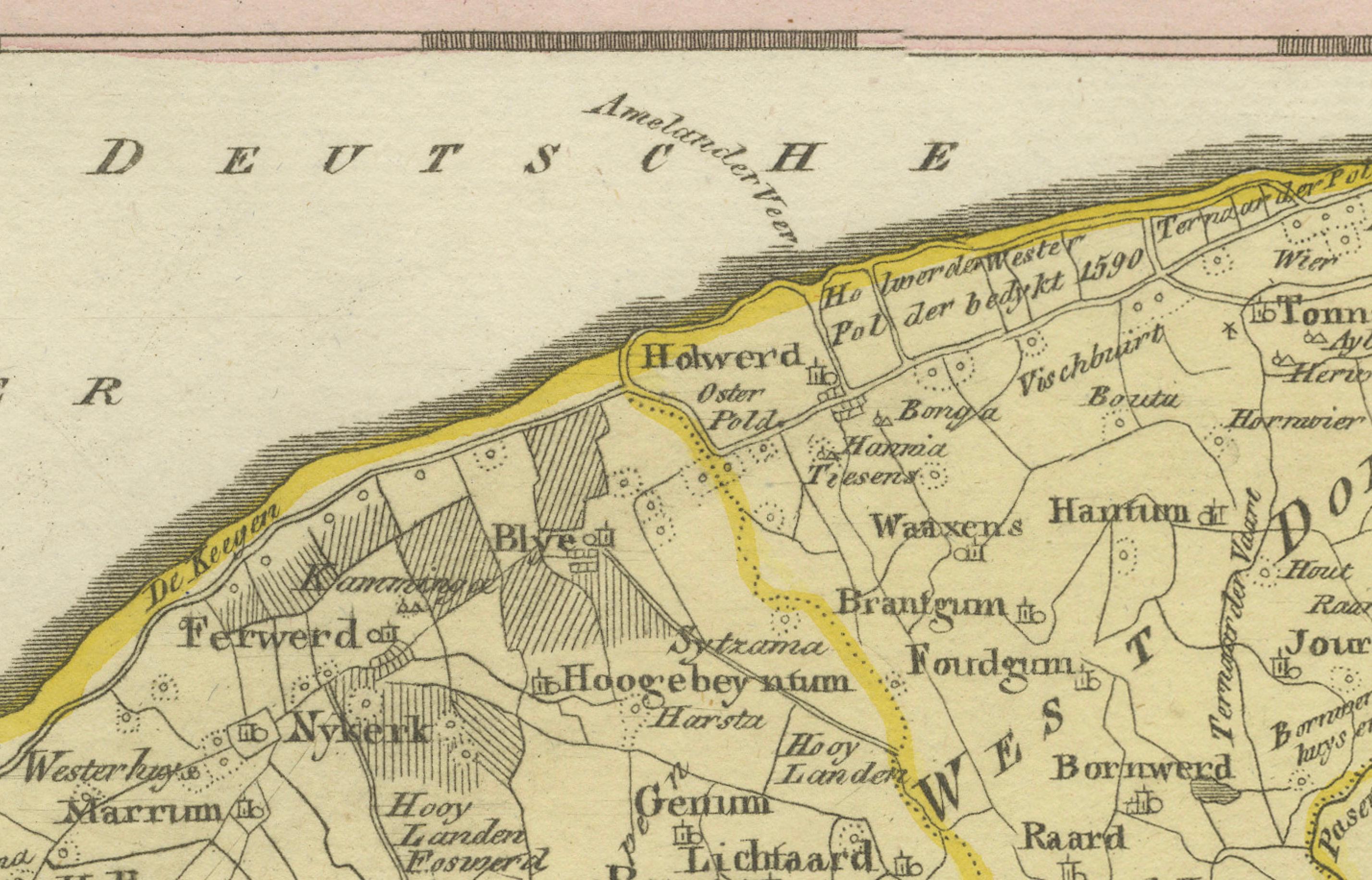
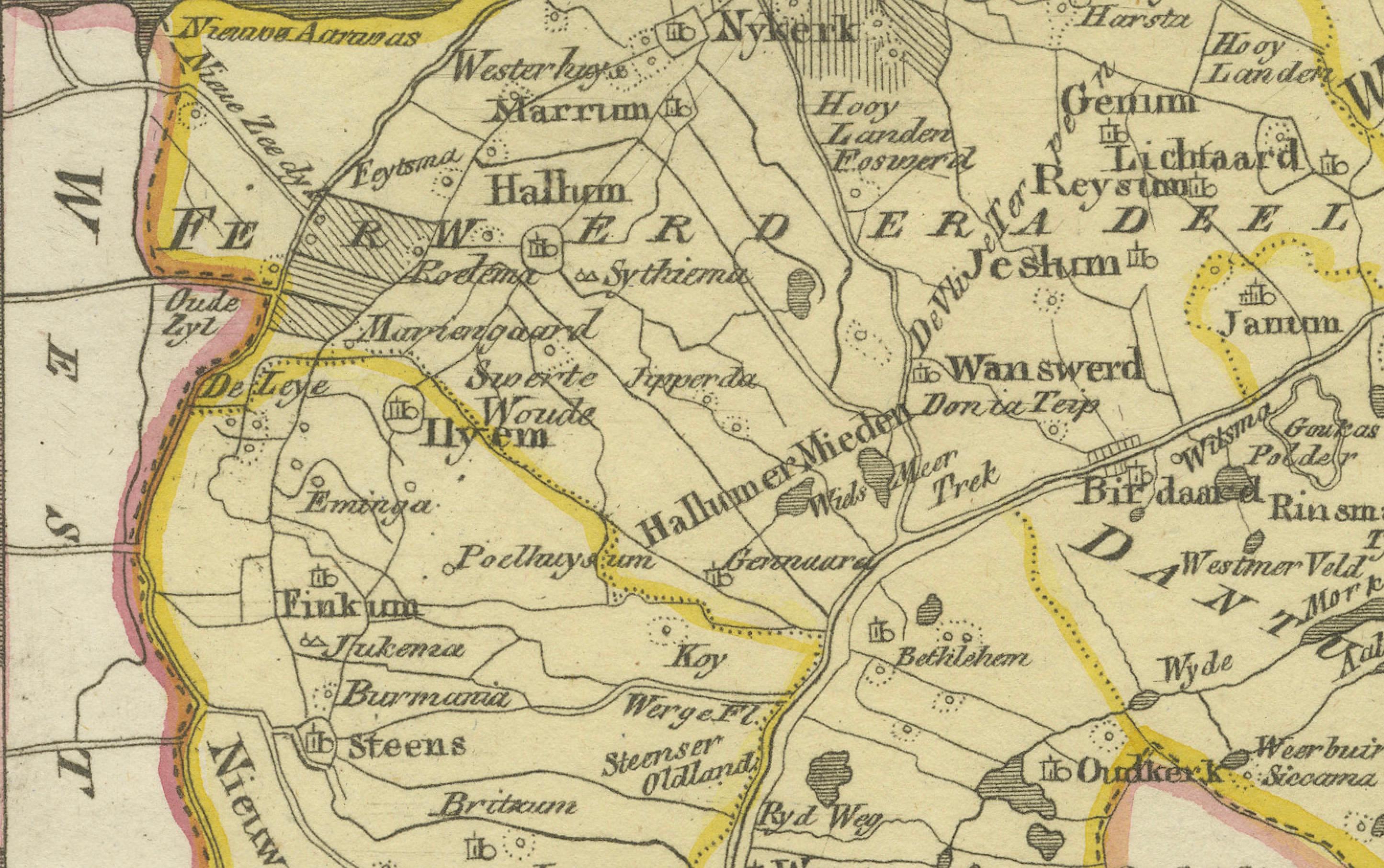
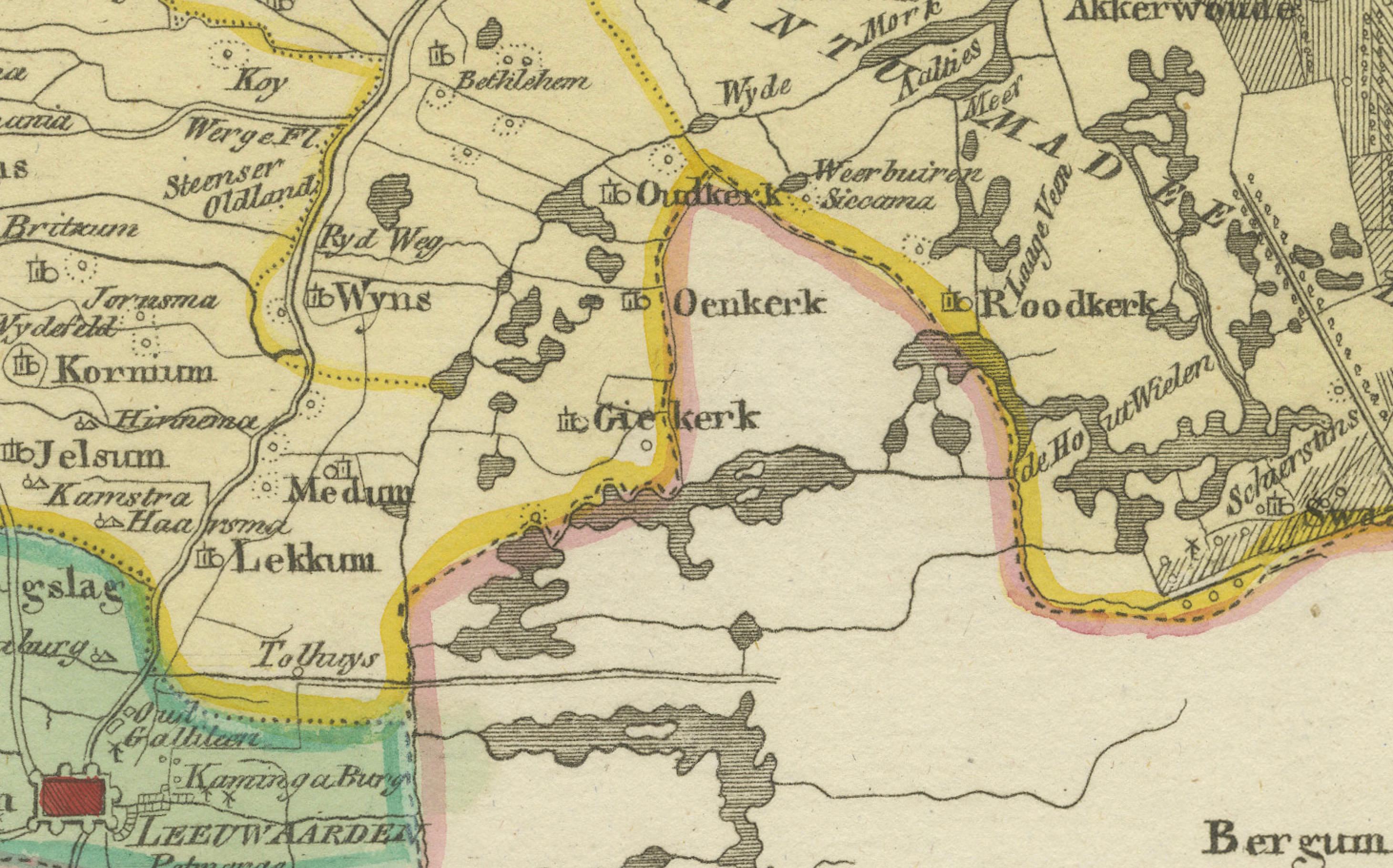
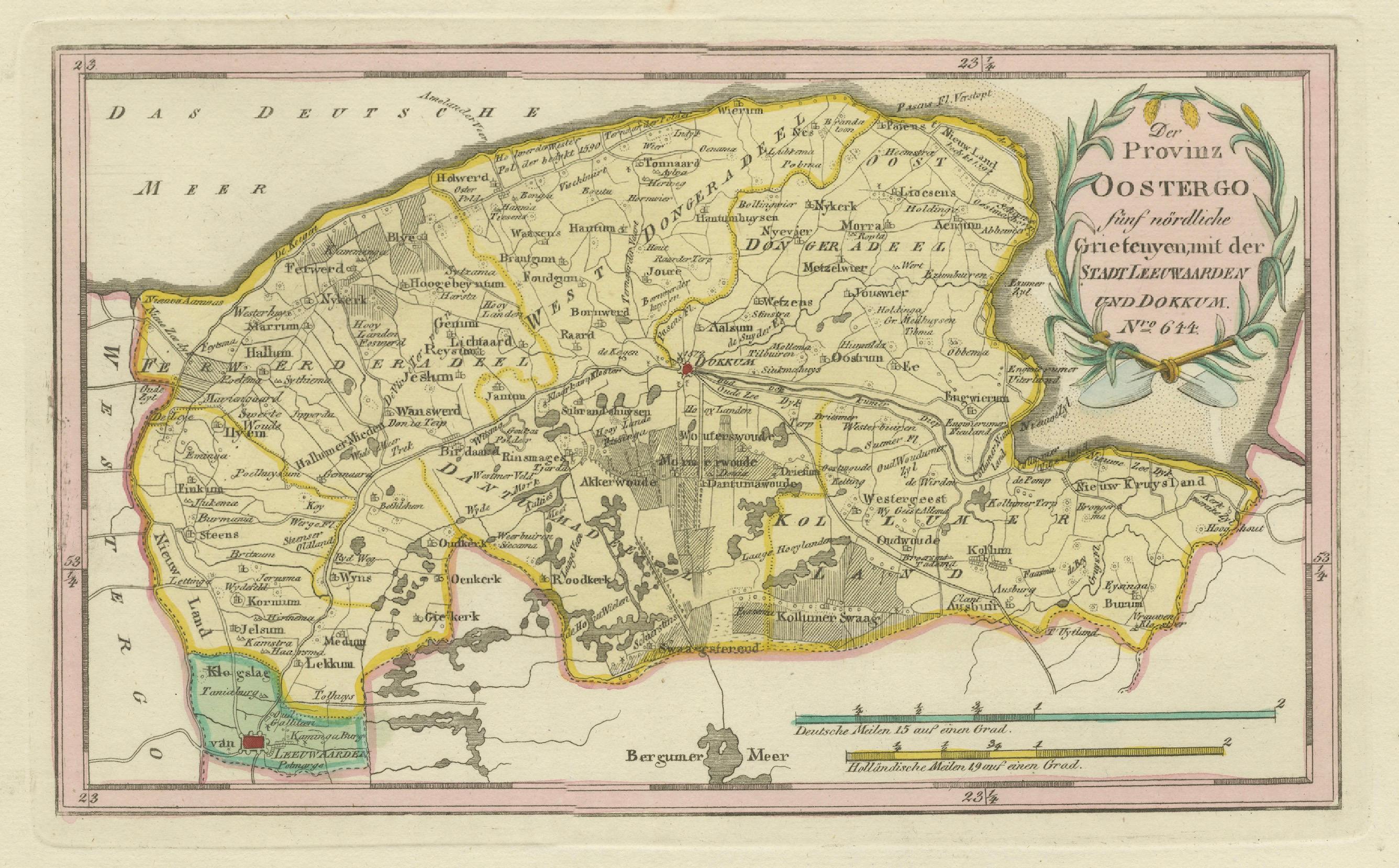
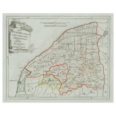
Original engraved map titled Der Provinz Oostergo fünf nördliche Grietenyen, mit der Stadt Leeuwarden und Dokkum No. 642, published in Vienna in 1791. This detailed map presents the northern and central districts of Oostergo in Friesland, including the provincial capital Leeuwarden and the fortified town of Dokkum. The engraving, finely executed by Ignaz Alberti, was issued in Franz Joseph Johann von Reilly’s Schauplatz der fünf Theile der Welt, one of the most important Austrian atlas projects of the late 18th century.
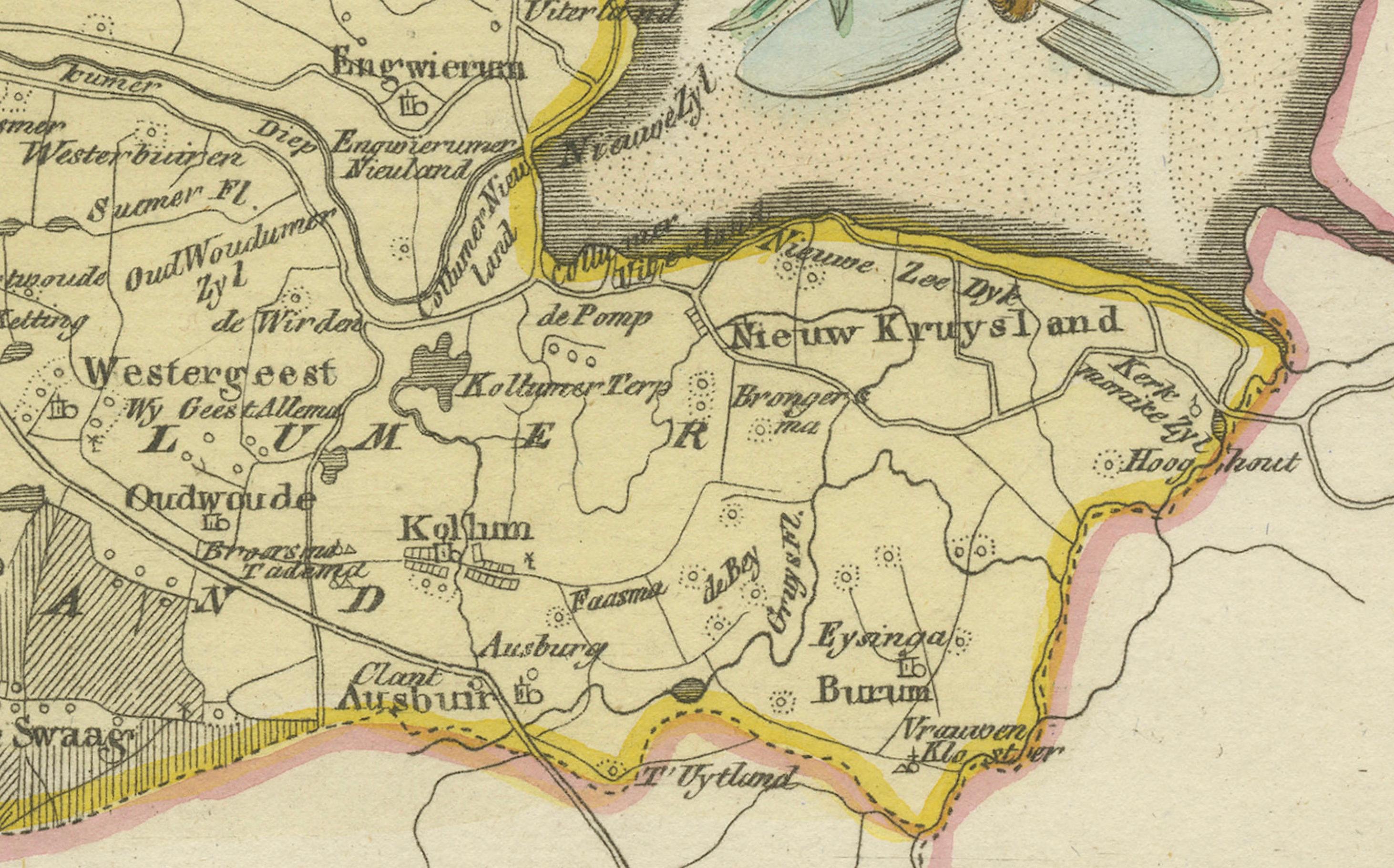
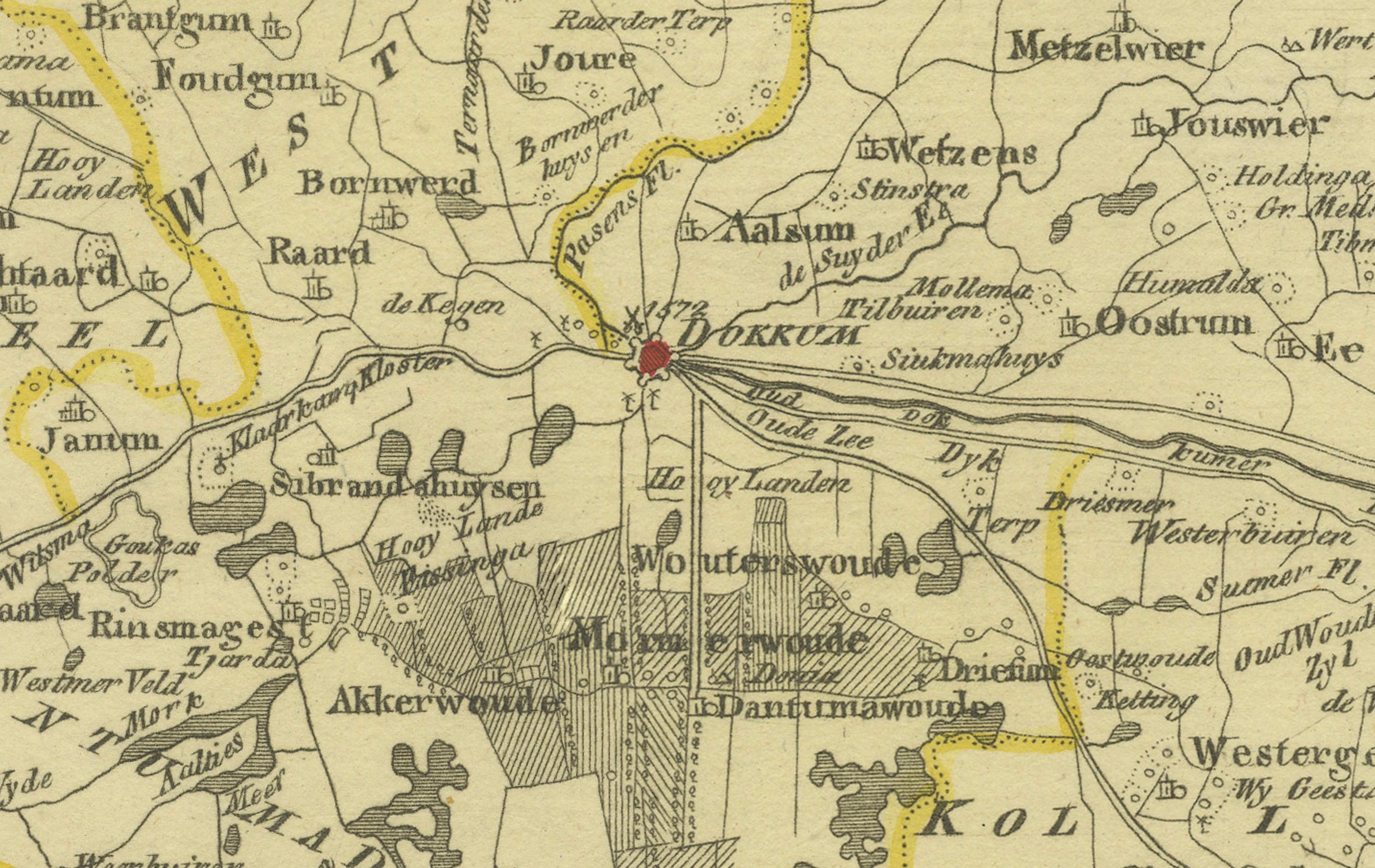
The map is enriched with a wealth of place names. Major cities and towns shown include Leeuwarden, the political and cultural center of Friesland, and Dokkum, known for the martyrdom of Saint Boniface in 754. Surrounding settlements include Kollum, Buitenpost, Engwierum, Anjum, Oostrum, Ee, Metslawier, Holwerd, Ferwerd, Marrum, Wanswerd, Stiens, Hallum, Oudkerk, Rinsumageest, Burum, Augustinusga, Veenwouden (Feanwâlden), Giekerk (Gytsjerk), Oenkerk (Oentsjerk), Aldtsjerk, Hijum, Blija, Jislum, Wierum, Ternaard, Paesens, Moddergat, Lioessens, Morra, Wetsens, Hantum, Hantumhuizen, Bornwird, Raard, Aalsum, Broeksterwoude, De Westereen (Zwaagwesteinde), Drogeham, Twijzel, and Twijzelerheide.
The sheet also depicts smaller villages, hamlets, and parishes such as Finkum, Cornjum, Jelsum, Britsum, Wier, Hijlaard, and Grouw (Grou), along with the waterways, polders, and dikes that structure the Frisian landscape. Together these details form an invaluable record of Friesland’s geography in the late 18th century, when the province was still organized into rural districts or grietenijen.
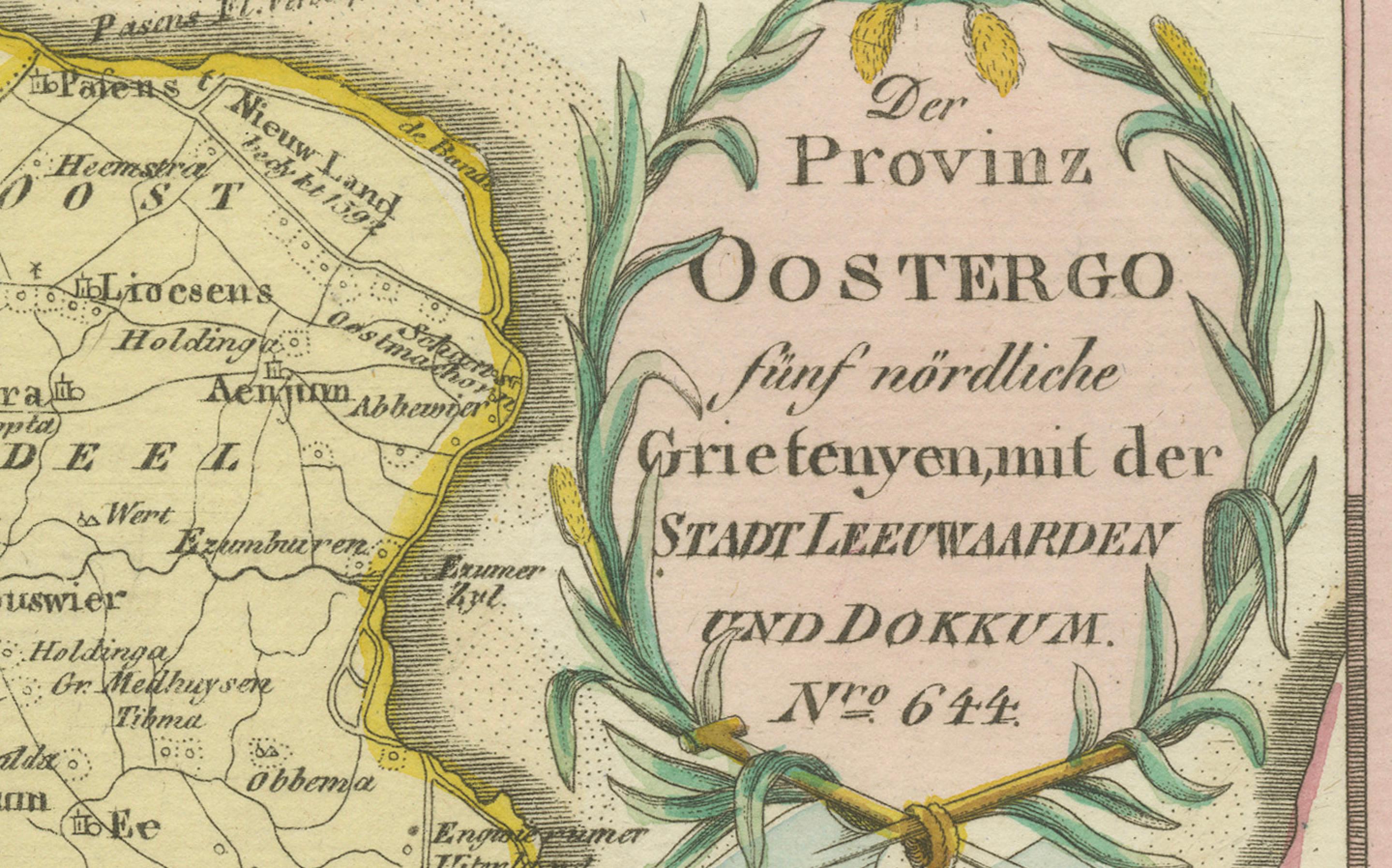
The title cartouche at the upper right, framed in a laurel wreath, balances clarity and elegance, a hallmark of von Reilly’s cartographic style. With its density of place names and original hand coloring of district boundaries, the sheet is not only decorative but also of high historical and genealogical interest for anyone tracing Frisian heritage.
Condition report: Very good impression with light age toning. Faint water stain at the lower margin, well outside the engraved area. Original hand coloring intact. Blank verso.
Framing tips: A classic dark wooden or black frame with a cream mat will highlight the engraved detail. A double mat with a fine green or ochre line can pick up the tones of the boundary coloring and cartouche, enhancing its decorative appeal.
Technique: Engraving with original hand color
Maker: Franz Joseph Johann von Reilly, engraved by Ignaz Alberti, Vienna, 1791
---