Antique Maps of Province of Friesland
194 original sheets
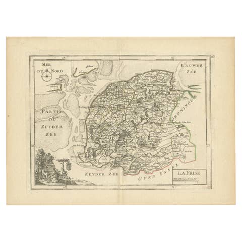
Map of Friesland (La Frise), from a French Atlas - circa 1756
1756 · € 240
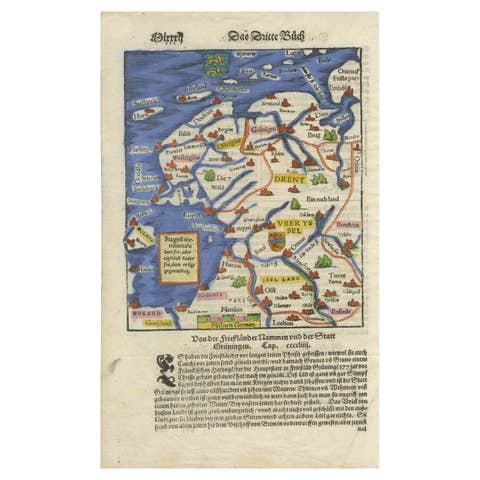
Friesland, Groningen, Drenthe, Overijssel – Antique Map by Seb. Münster, 1574
1574 · € 390
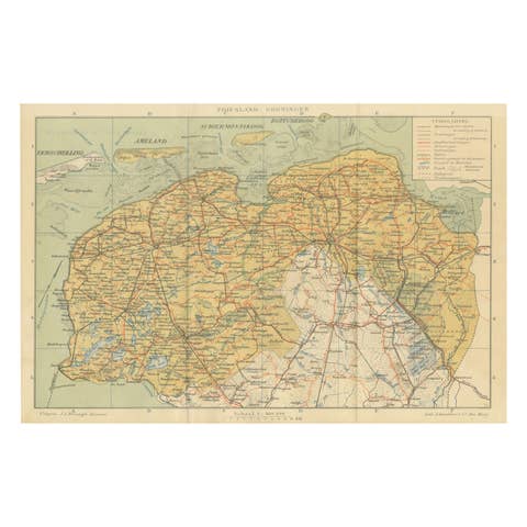
Antique Map of Friesland & Groningen – Sleeswijk Atlas Dutch Provinces, 1914
1914 · € 210
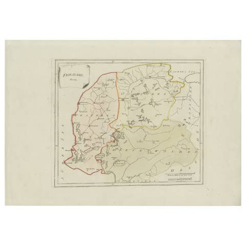
Rare 1791 von Reilly Map of Friesland Province, Netherlands, 18th Century
1791 · € 340
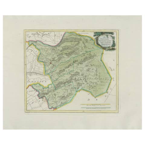
Rare Antique Hand-Colored Map of Eastern Friesland by von Reilly, 1791
1791 · € 440
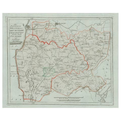
Antique Map of Sneek and Surroundings, Friesland by von Reilly, 1791
1791 · € 207
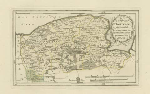
Antique Map of Leeuwarden and Dokkum, Friesland by von Reilly, 1791
1791 · € 360
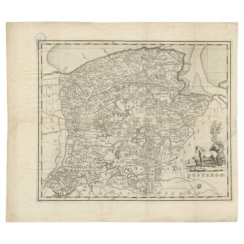
Antique Map of Oostergo, Friesland by Tirion, 1785
1785 · € 230
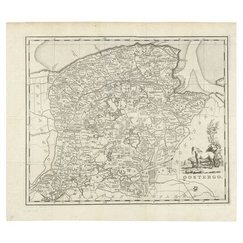
Antique Map of Oostergo, Friesland by Tirion, 1785
1785 · € 195
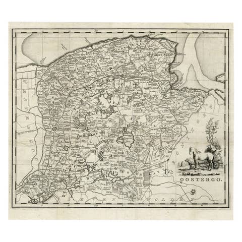
Antique Map of Oostergo, Friesland by Tirion, 1785
1785 · € 188
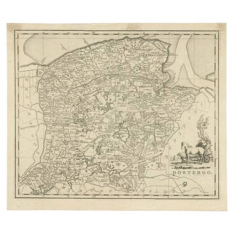
Antique Map of Oostergo by Tirion, 1744
1744 · € 189
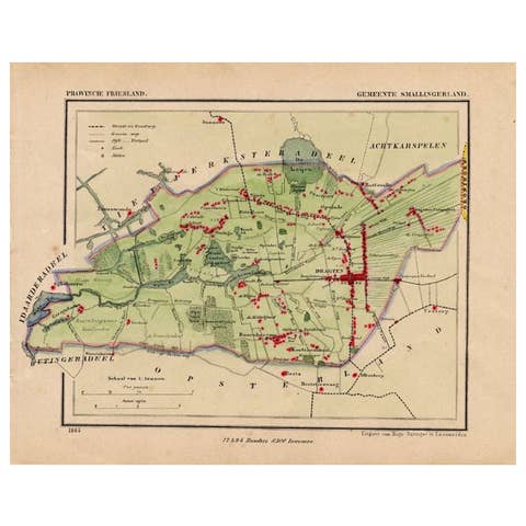
Antique Map of Smallingerland by Kuyper, 1868
1868 · € 133
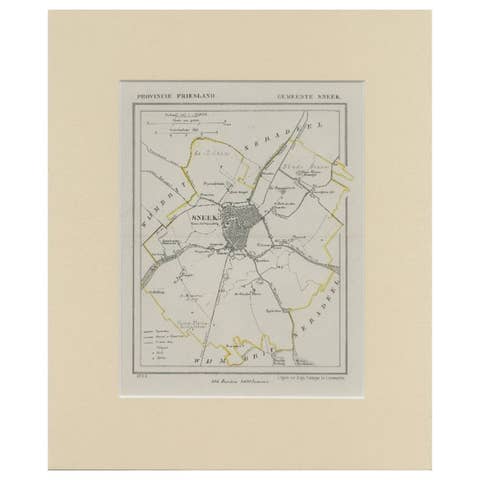
Antique Map of Sneek by Kuyper, 1868
1868 · € 127
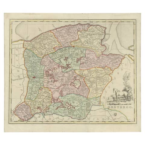
Antique Map of Oostergo by Tirion, 1744
1744 · € 277
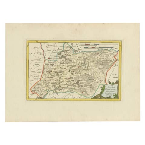
Antique Map of Oostergo by Von Reilly, 1791
1791 · € 158
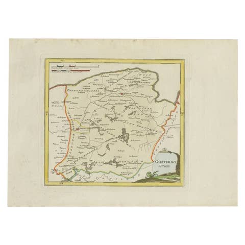
Antique Map of Oostergo, Friesland, by Von Reilly, 1791
1791 · € 390

Antique Map of Oostdongeradeel by Kuyper, 1868
1868 · € 133
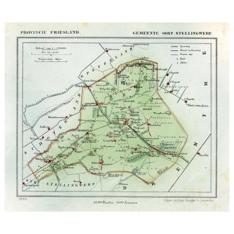
Antique Map of Ooststellingwerf by Kuyper, 1868
1868 · € 110

Antique Map of Ooststellingwerf by Kuyper, 1868
1868 · € 125
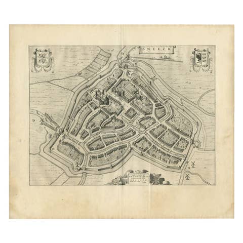
Antique Map of the City of Sneek by Blaeu, 1649
1649 · € 437
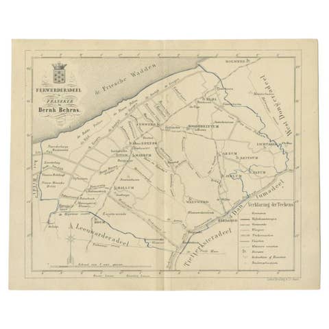
Antique Map of the Ferwerderadeel Township by Behrns, 1861
1861 · € 89
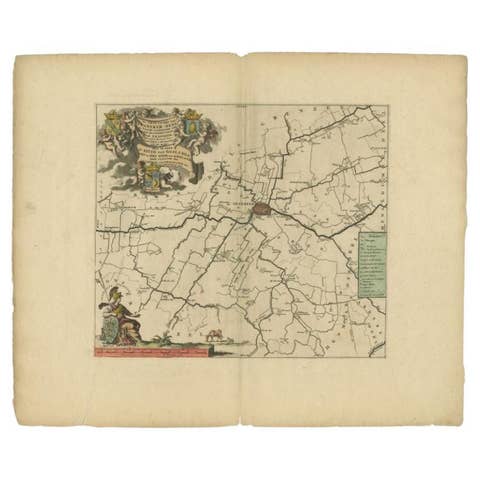
Antique Map of the Franekeradeel Township 'Friesland' by Halma, 1718
1718 · € 360
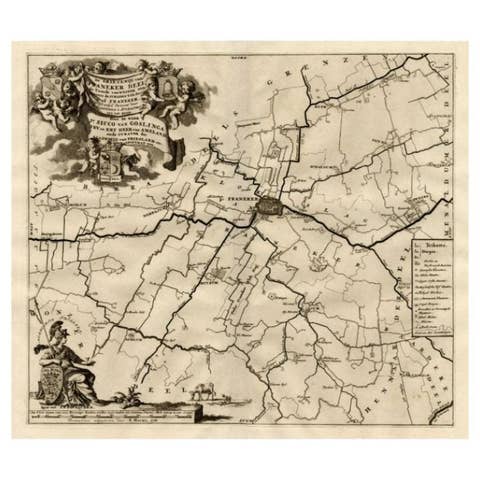
Antique Map of the Franekeradeel Township 'Friesland' by Halma, 1718
1718 · € 263
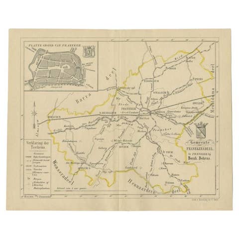
Antique Map of the Franekeradeel Township by Behrns, 1861
1861 · € 89
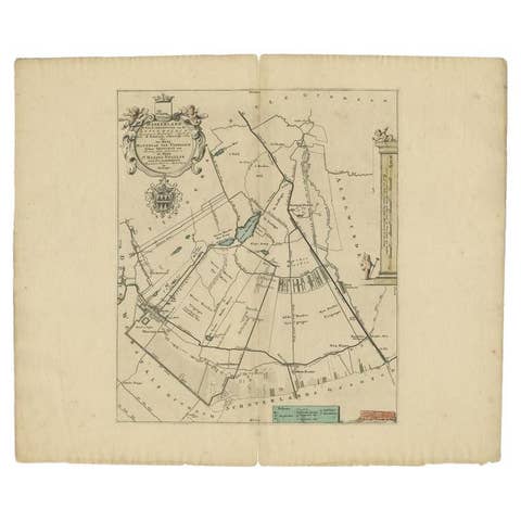
Antique Map of the Haskerland Township 'Friesland' by Halma, 1718
1718 · € 355
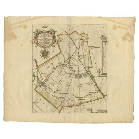
Antique Map of the Haskerland Township 'Friesland' by Halma, 1718
1718 · € 277
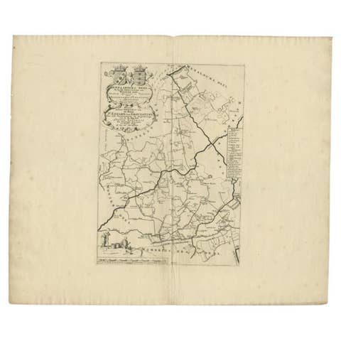
Antique Map of the Hennaarderadeel Township 'Friesland' by Halma, 1718
1718 · € 355
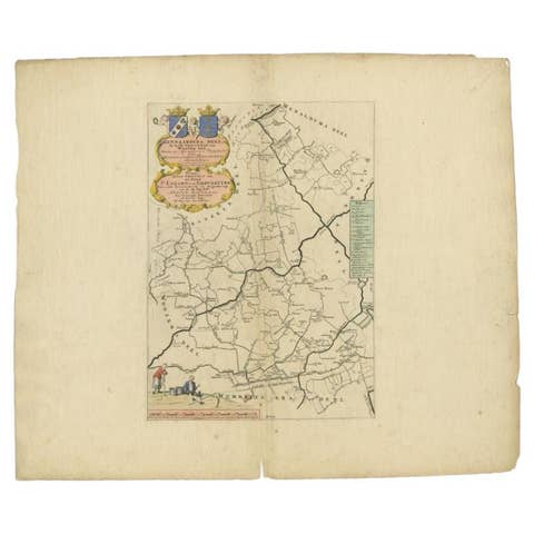
Antique Map of the Hennaarderadeel Township 'Friesland' by Halma, 1718
1718 · € 320
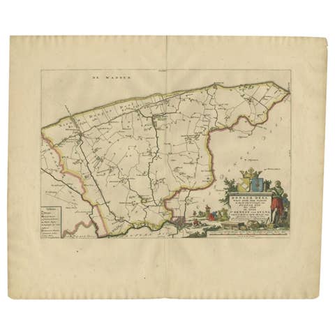
Antique Map of the Dongeradeel Township 'Friesland' by Halma, 1718
1718 · € 383
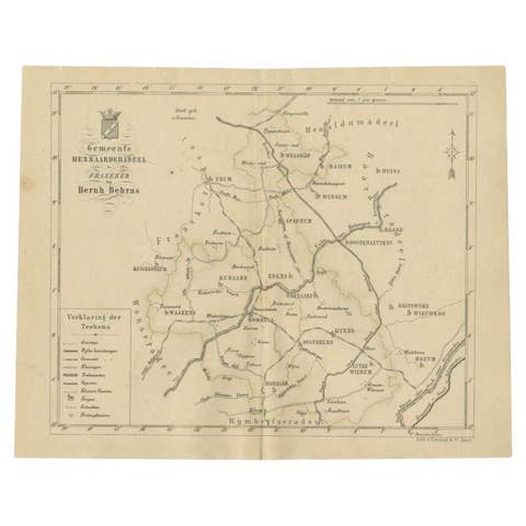
Antique Map of the Hennaarderadeel Township by Behrns, 1861
1861 · € 89
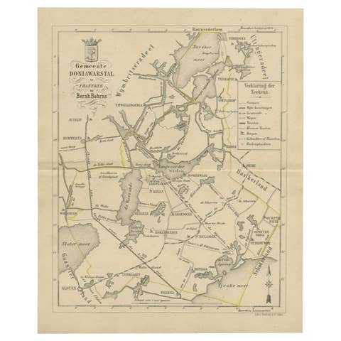
Antique Map of the Doniawerstal Township by Behrns, 1861
1861 · € 125
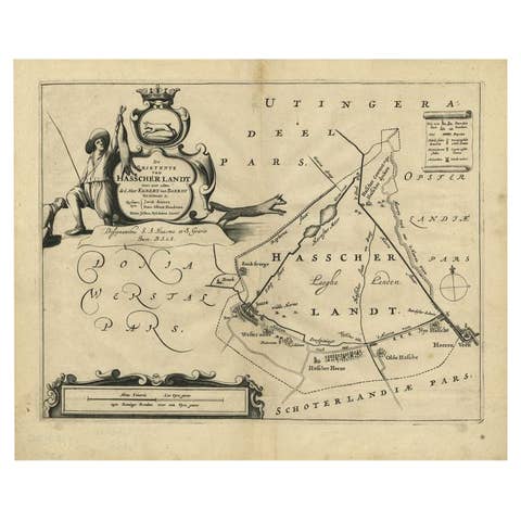
Antique Map of the Region of Haskerland by Schotanus, 1664
1664 · € 197
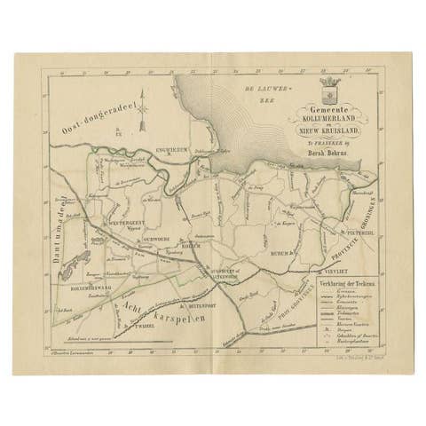
Antique Map of the Kollumerland Township by Behrns, 1861
1861 · € 89
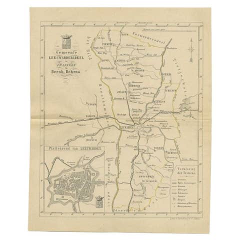
Antique Map of the Leeuwarderadeel Township by Behrns, 1861
1861 · € 89
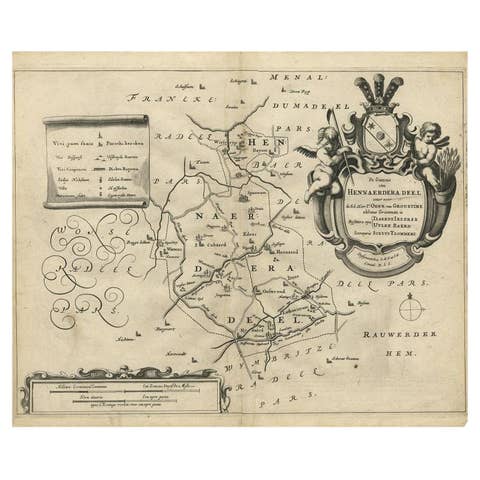
Antique Map of the Region of Hennaarderadeel by Schotanus, 1664
1664 · € 270
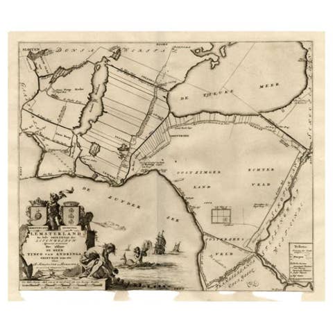
Antique Map of the Lemsterland Township 'Friesland' by Halma, 1718
1718 · € 243
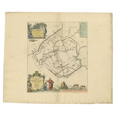
Antique Map of the Rauwerderhem Township, Friesland by Halma, 1718
1718 · € 330
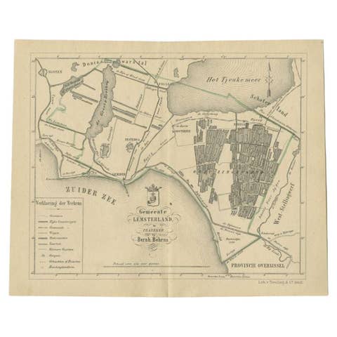
Antique Map of the Lemsterland Township by Behrns, 1861
1861 · € 89
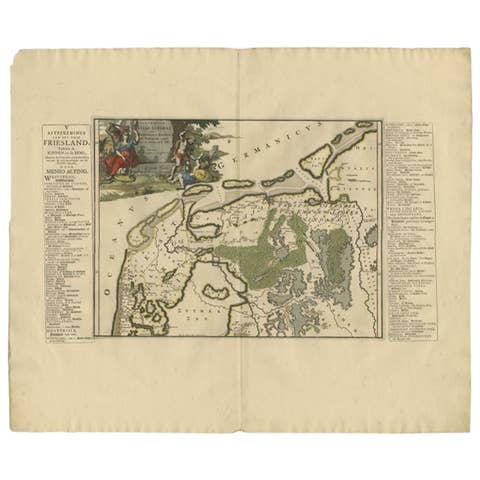
Antique Map of the Region of Kennemerland and Eems by Halma, 1718
1718 · € 255
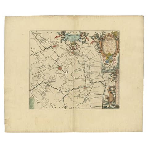
Antique Map of the Menaldumadeel Township 'Friesland' by Halma, 1718
1718 · € 330
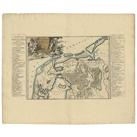
Antique Map of the Region of Kennemerland and Eems by Halma, 1718
1718 · € 234
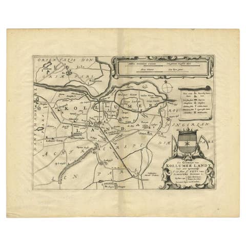
Antique Map of the Region of Kollumerland by Schotanus, 1664
1664 · € 270
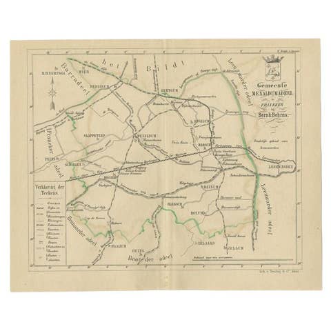
Antique Map of the Menaldumadeel Township by Behrns, 1861
1861 · € 89
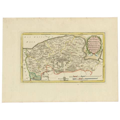
Antique Map of the Region of Leeuwarden and Dokkum in The Netherlands, 1791
1791 · € 240
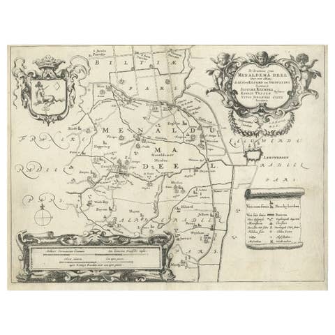
Antique Map of the Region of Menaldumadeel by Schotanus, 1664
1664 · € 200
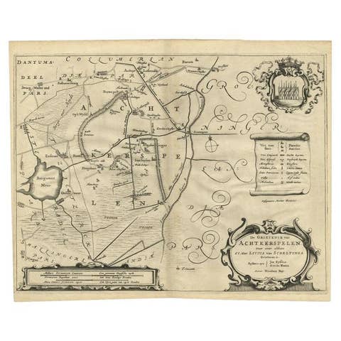
Antique Map of the Region of Achtkarspelen by Schotanus, 1664
1664 · € 270
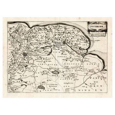
Antique Map of the Region of Oostergo by Colom, 1635
1635 · € 125
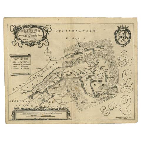
Antique Map of the Region of Ooststellingwerf by Schotanus, 1664
1664 · € 181