Antique Maps of Europe
1,158 original sheets
Western Europe 1908Northern Europe 146Central Europe 88Eastern Europe 102South-East Europe 135Southern Europe 275Europe as a Whole 169
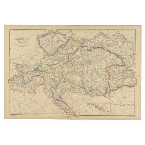
Austrian Empire Map, Antique Hand-Colored Political Map, Central Europe 1859
1859 · € 300
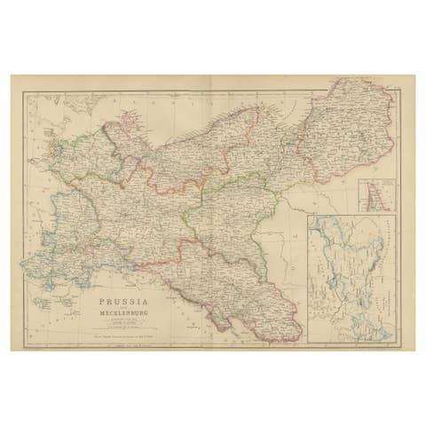
Antique Map of Prussia & Mecklenburg, Hand Colored, Blackie, circa 1859
1859 · € 240

1859 Detailed Map of North West Germany with Bavaria Inset - Blackie's Atlas
1859 · € 250
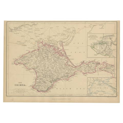
Antique Map of the Crimean Peninsula and Sevastopol by W. G. Blackie, 1859
1859 · € 175
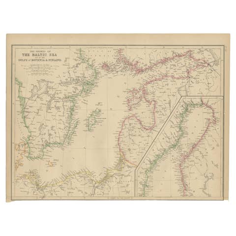
Antique Map of the Shores of The Baltic Sea by W. G. Blackie, 1859
1859 · € 175
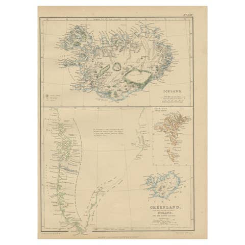
1859 Antique Arctic Vista: Greenland, Iceland and Faroe Islands, Blackie's Atlas
1859 · € 190

1859 Denmark and Schleswig-Holstein Map: A Historical View from Blackie's Atlas
1859 · € 149
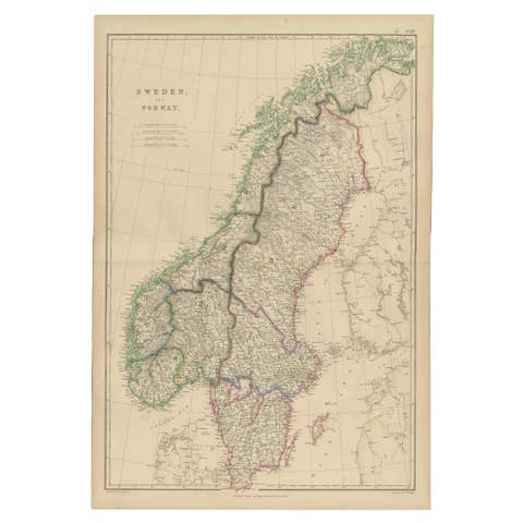
Sweden and Norway, Antique Map, Scandinavian Geography, Blackie Atlas, 1859
1859 · € 320
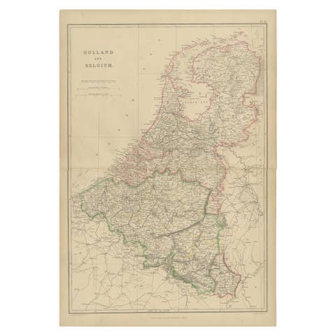
1859 Vintage Map of Holland and Belgium: Blackie's Imperial Geographic Insight
1859 · € 250
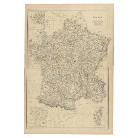
1859 Classic Map of France: Blackie's Imperial Geographic Masterpiece
1859 · € 250
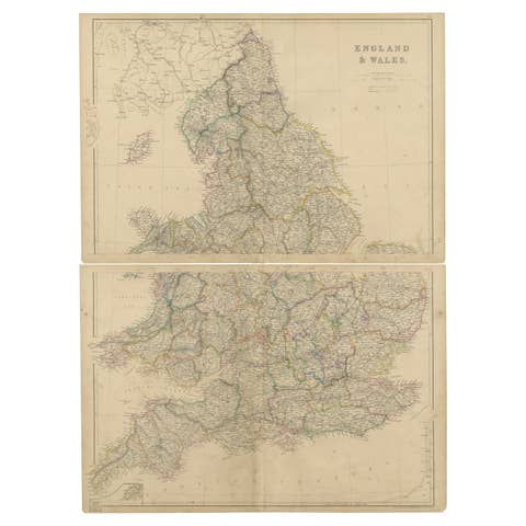
1859 Vintage Maps of England and Wales: Blackie's Imperial Geographic Detail
1859 · € 400

Set of 2 Antique Maps of Scotland by W. G. Blackie, 1859
1859 · € 400
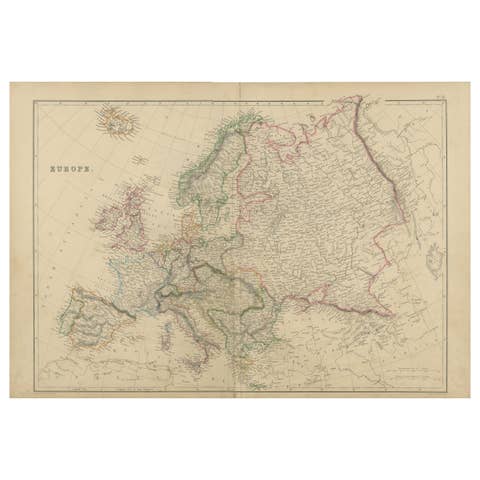
Antique Map of Europe by W. G. Blackie, 1859
1859 · € 250
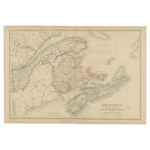
New Brunswick, Nova Scotia, Prince Edward Island, Antique Map, Canada East 1859
1859 · € 210
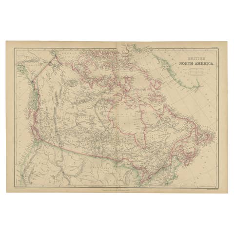
British North America, Antique Map of Canada and Arctic Regions, Blackie, 1859
1859 · € 360
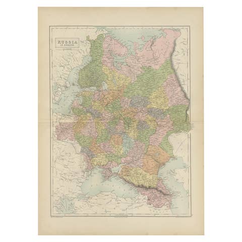
Antique Map of Russia in Europe by A & C, Black, 1870
1870 · € 275
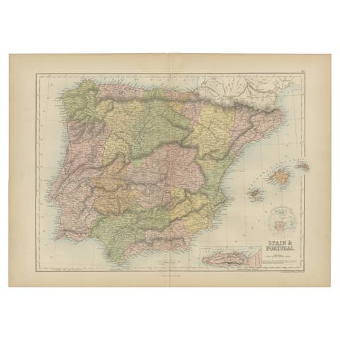
Antique Map of Spain and Portugal by A & C. Black, 1870
1870 · € 275
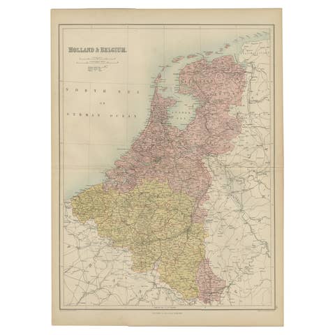
Antique Map of The Netherlands and Belgium by A & C, Black, 1870
1870 · € 250

Antique Map of France by A & C. Black, 1870
1870 · € 275
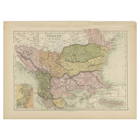
Antique Map of Turkey in Europe by A & C. Black, 1870
1870 · € 175
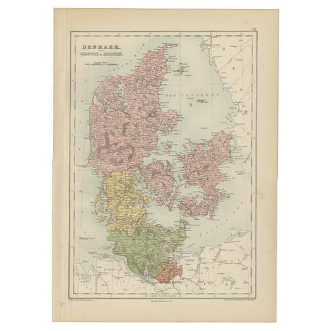
Antique Map of Denmark with Schleswig & Holstein by A & C. Black, 1870
1870 · € 175
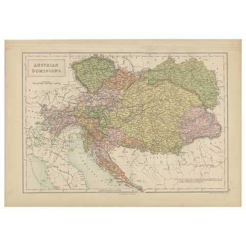
Antique Map of Austrian Dominions by A & C. Black, 1870
1870 · € 175
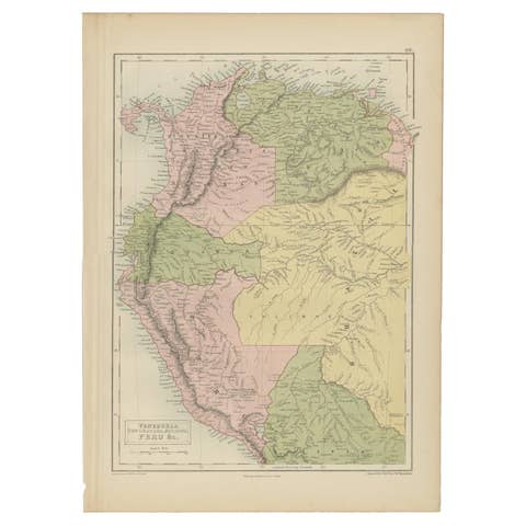
Antique Map of Venezuela, New Granada, Ecuador and Peru by a & C. Black, 1870
1870 · € 175
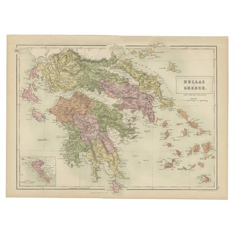
Antique Map of Greece and Ionian Islands by A & C. Black, 1870
1870 · € 175

Antique Map of New South Wales and Victoria by W. G. Blackie, 1859
1859 · € 250
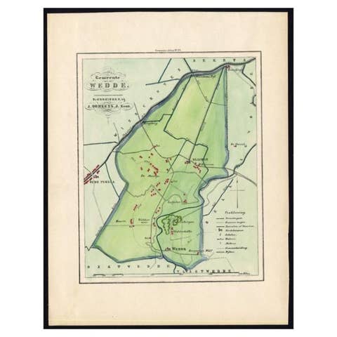
Dutch Municipality of Wedde in Groningen, Fehse, 1862
1862 · € 120
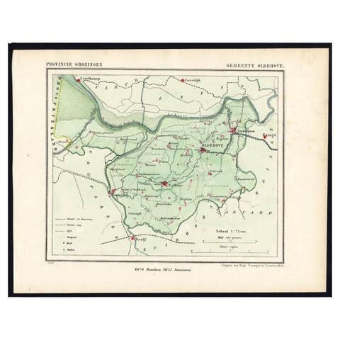
Dutch Municipality of the Gemeente Oldehove in Grongingen, Kuyper, 1865
1865 · € 120
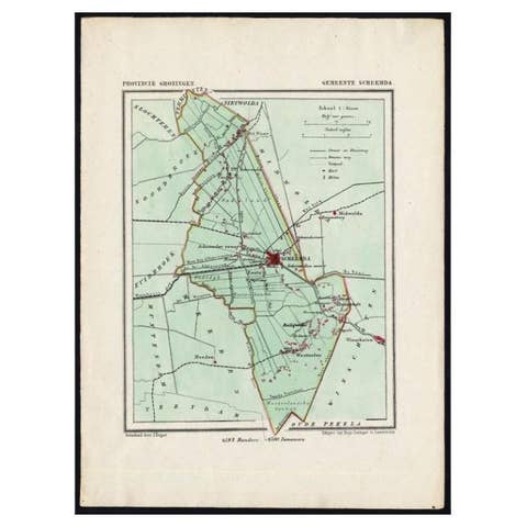
Dutch Municipality of Scheemda in Groningen, Kuyper, 1865
1865 · € 110
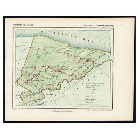
Dutch Municipality of Uithuizermeeden in Groningen, Kuyper, 1865
1865 · € 110
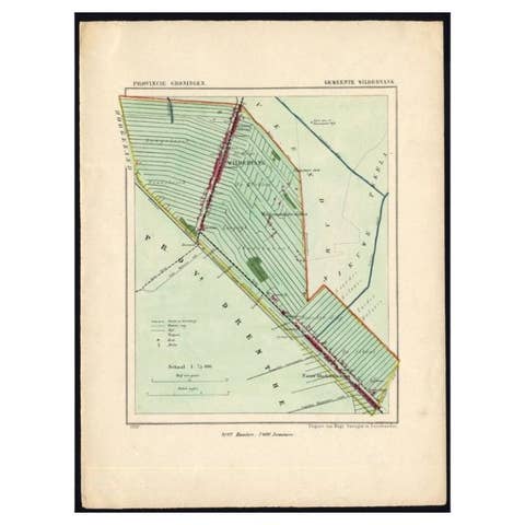
Dutch Municipality of Wildervank in Grongingen, Kuyper, 1865
1865 · € 120
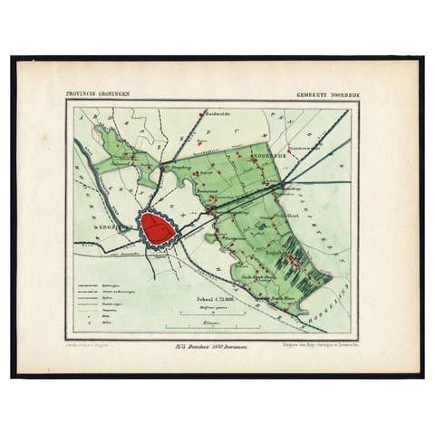
Rare Map of Dutch Municipality Noorddijk Near Groningen, 1865
1865 · € 135
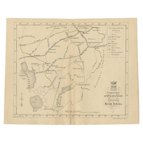
Antique Map of The Dutch Achtkarspelen Township by Behrns, 1861
1861 · € 86
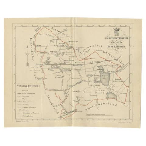
Antique Map of the Frisian Tietjerksteradeel Township in the Netherlands, 1861
1861 · € 89
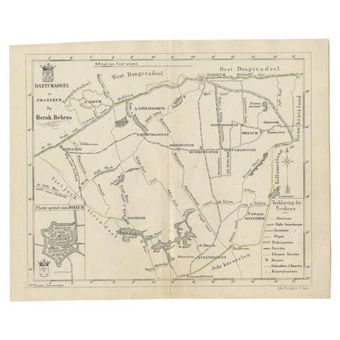
Antique Map of the Dutch Dantumadeel Township, 1861
1861 · € 130
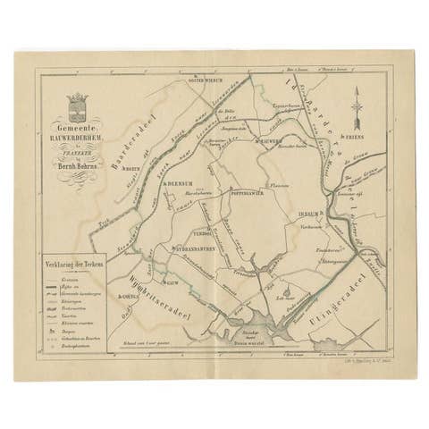
Antique Map of The Dutch Township Rauwerderhem, 1861
1861 · € 120
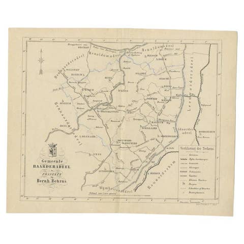
Antique Map of the Dutch Township Baarderadeel, 1861
1861 · € 120
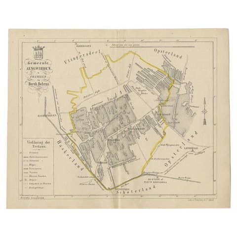
Antique Map of the Dutch Township Aengwirden, 1861
1861 · € 120
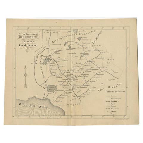
Antique Map of The Region of Heerenveen by Behrns, 1861
1861 · € 130
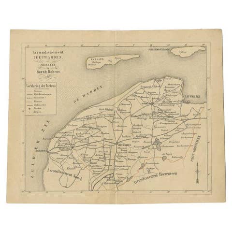
Antique Dutch Map of The Region of Leeuwarden by Behrns, 1861
1861 · € 150
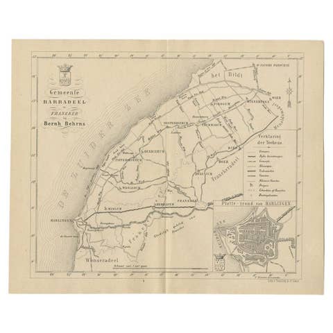
Antique Dutch Map of The Barradeel Township by Behrns, 1861
1861 · € 120
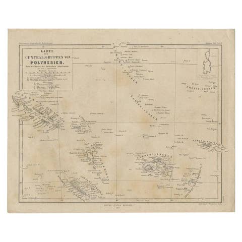
Old German Map Depicting the Central Islands of Polynesia, 1857
1857 · € 120
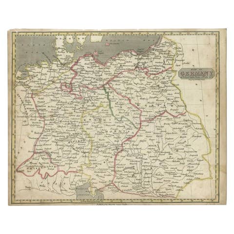
Antique Map of Germany by Walker, 1820
1820 · € 65
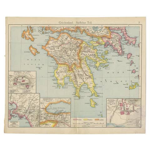
Antique Map of Southern Greece, 1892
1892 · € 62
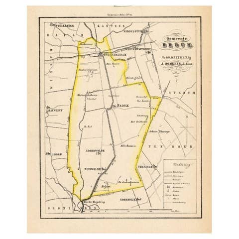
Dutch Municipality of Bedum in Groningen, Fehse, 1862
1862 · € 120
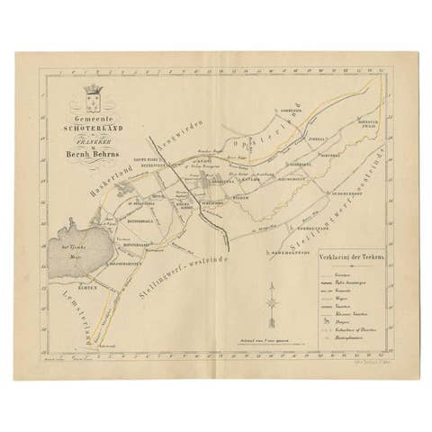
Antique Map of the Schoterland Township in Friesland, the Netherlands, 1861
1861 · € 89
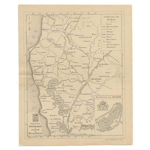
Antique Map of The Wonseradeel Township in Friesland, The Netherlands, 1861
1861 · € 190
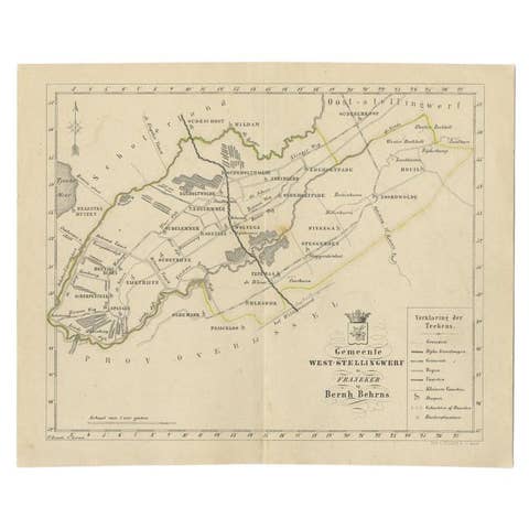
Antique Map of The Dutch West-Stellingwerf Township by Behrns, 1861
1861 · € 120
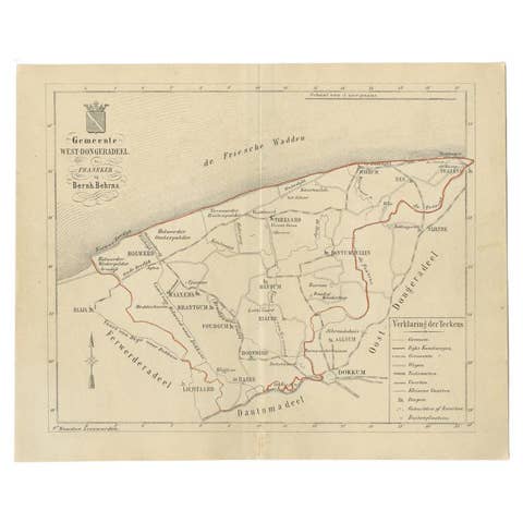
Antique Map of The Dutch West-Dongeradeel Township by Behrns, 1861
1861 · € 120