About this sheet
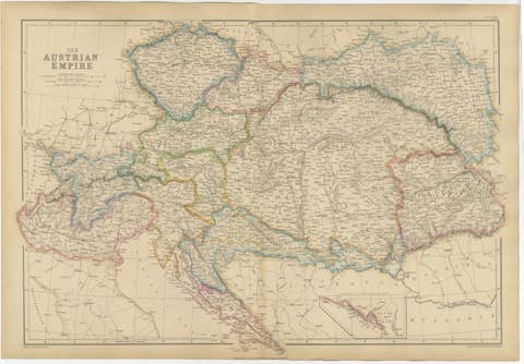
Austrian Empire Map, Antique Hand-Colored Political Map, Central Europe 1859
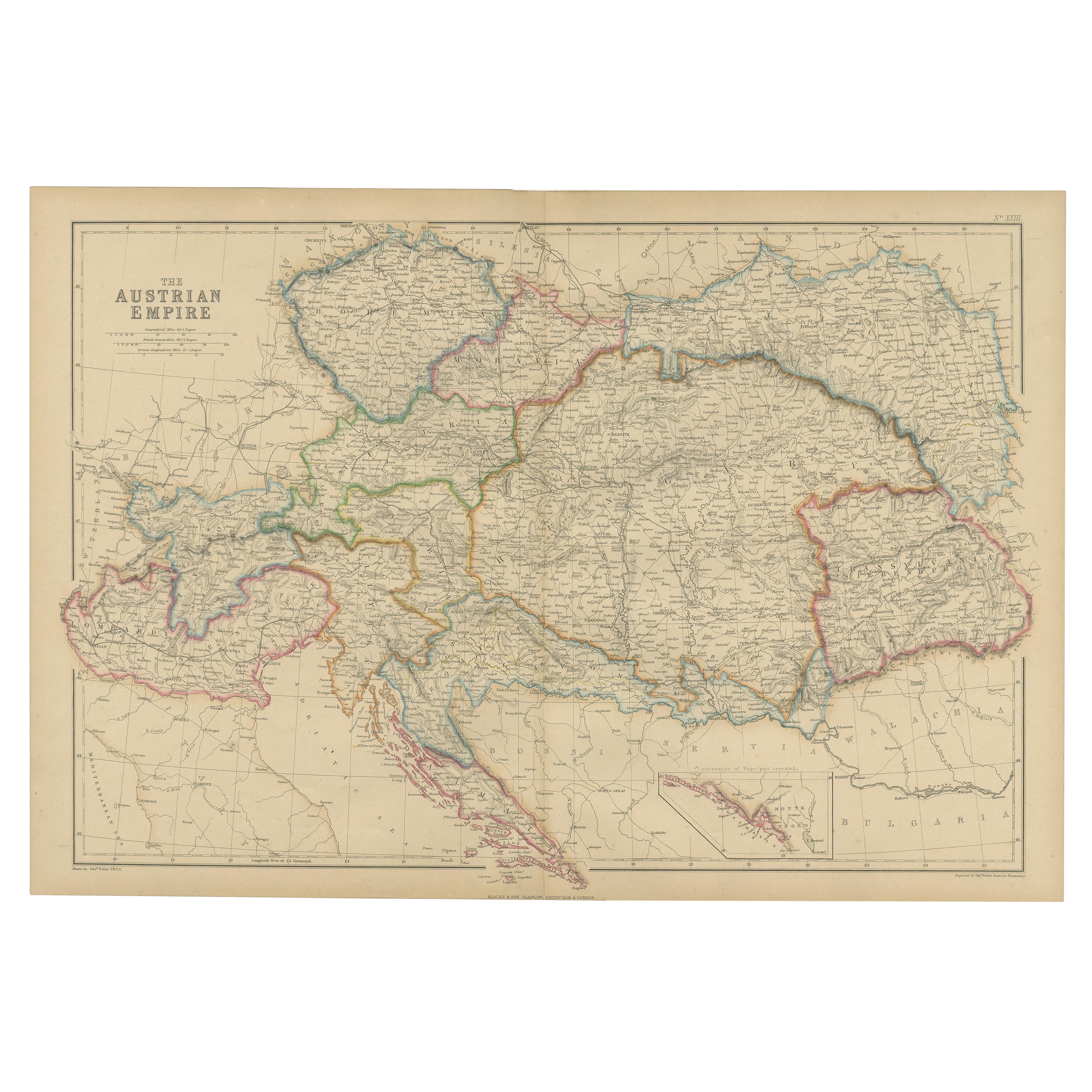
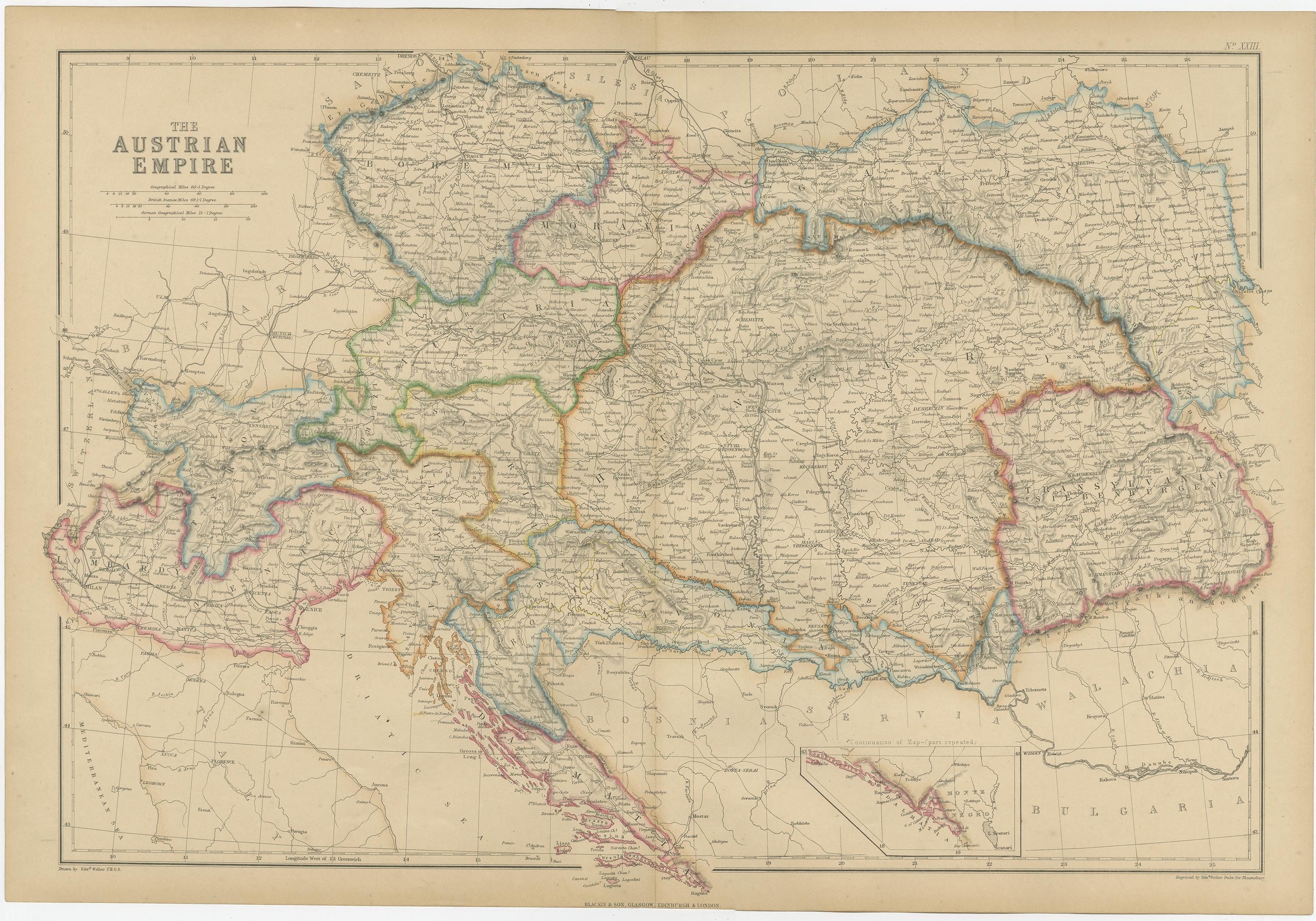
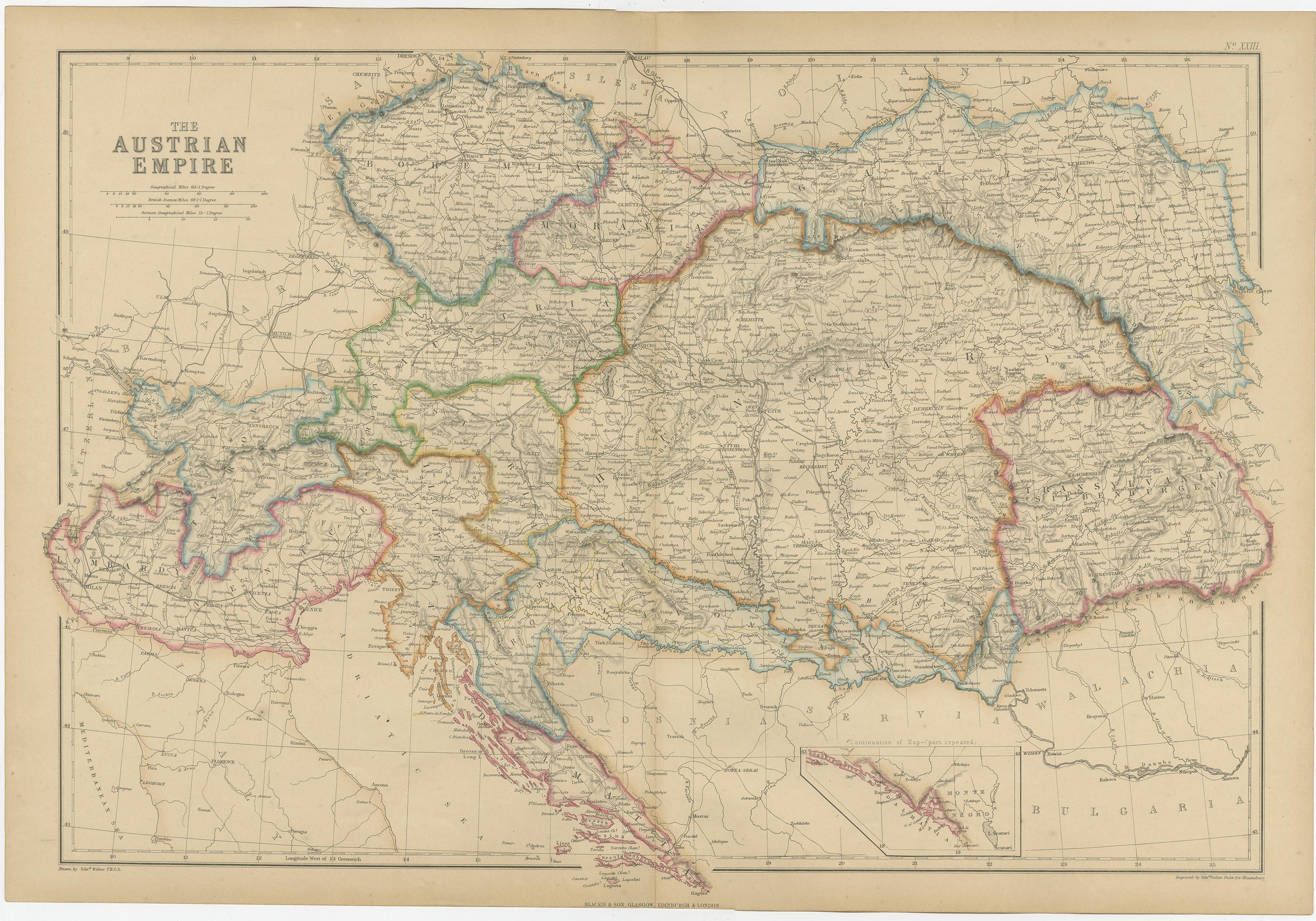
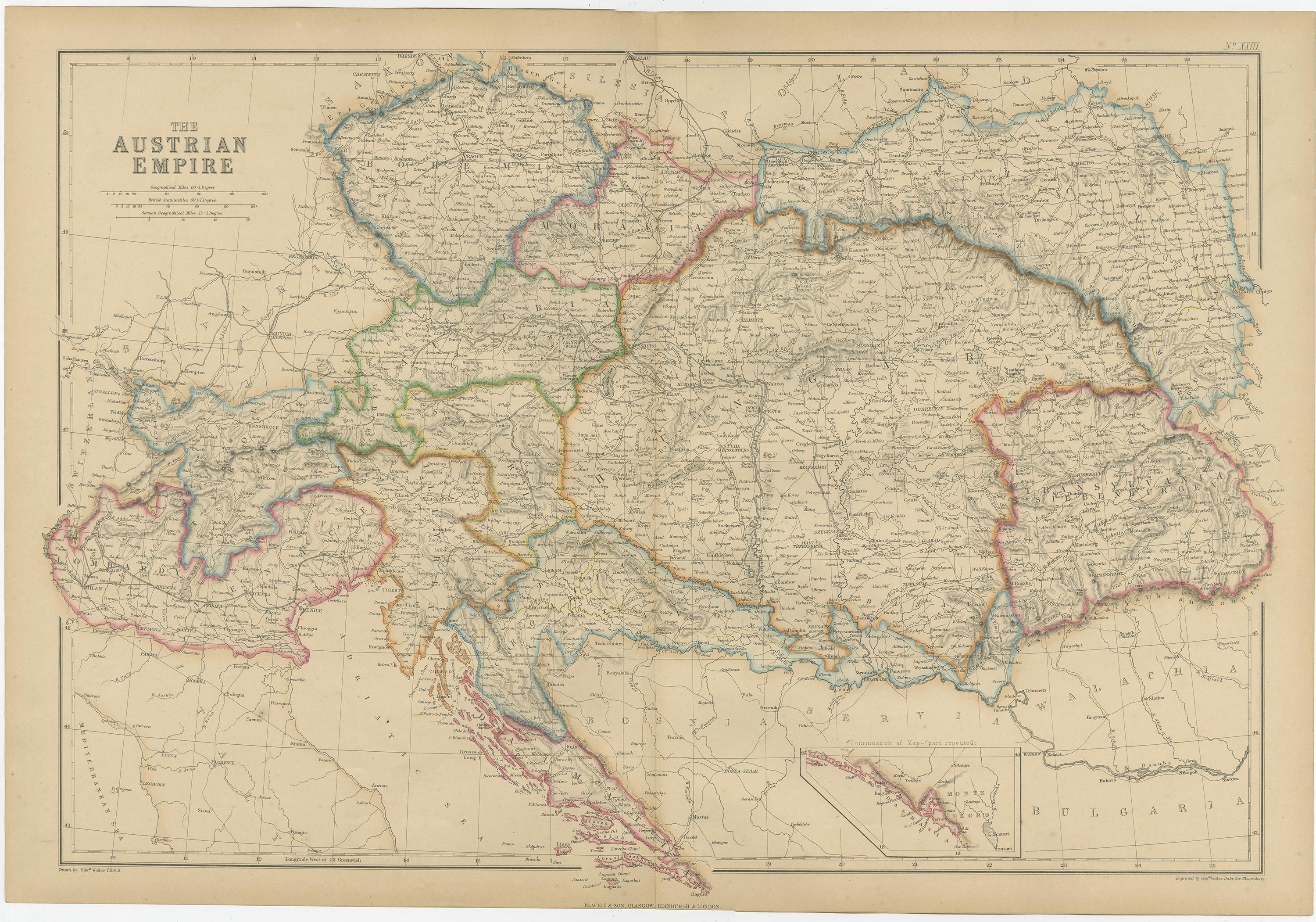
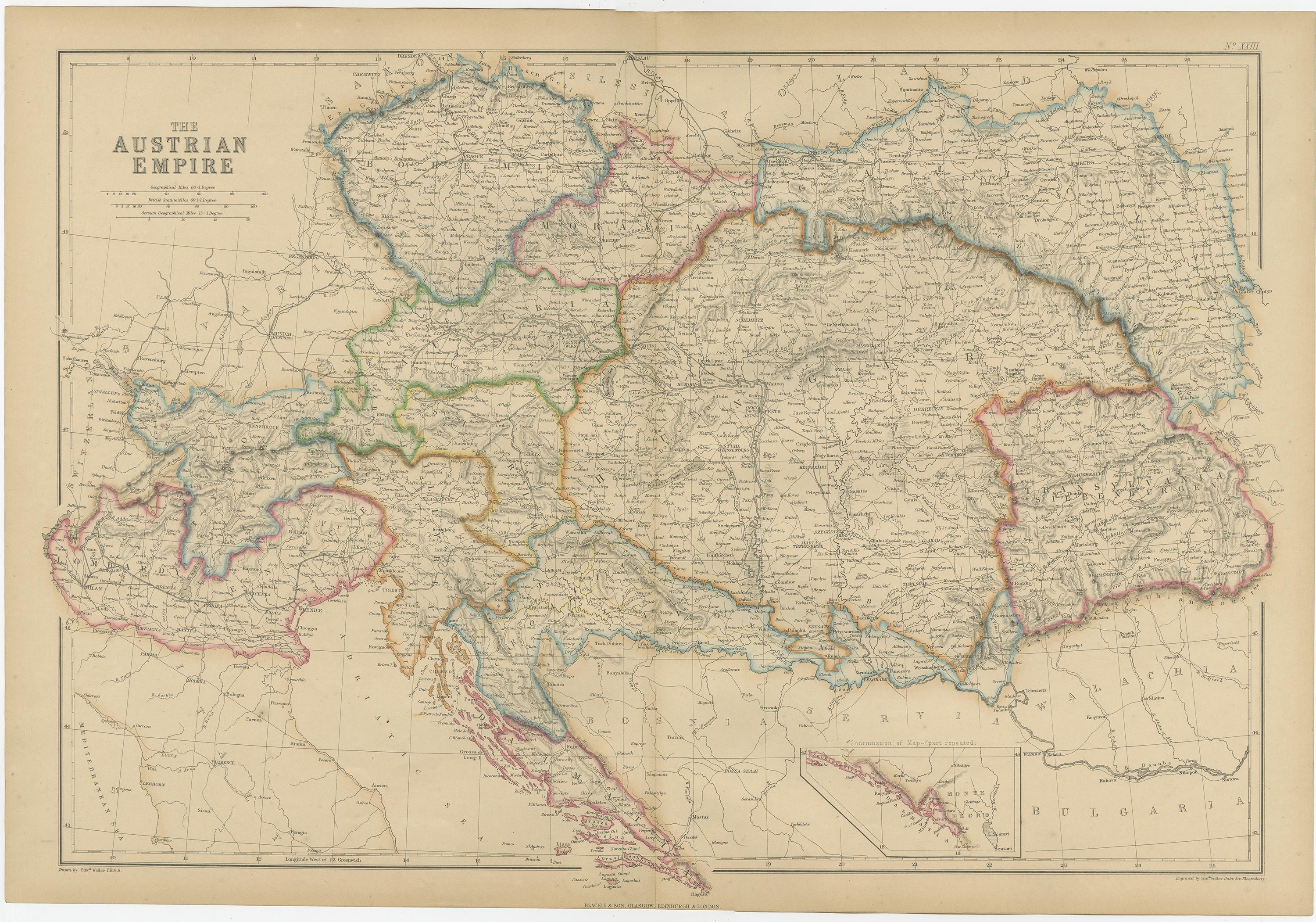
This large and highly detailed antique map depicts the Austrian Empire at its greatest territorial extent, showing Central and Eastern Europe on the eve of major political transformation. Published in 1859 by W. G. Blackie & Son as part of The Imperial Atlas of Modern Geography, the map reflects mid-19th-century British cartographic precision and contemporary geopolitical understanding.
The map encompasses a vast region including Austria, Bohemia, Moravia, Hungary, Transylvania, Galicia, Croatia, Slavonia, Dalmatia, parts of northern Italy, and the Balkans. Borders are carefully hand-colored to delineate imperial provinces and neighboring states, offering a clear visual representation of the empire’s complex administrative structure. Major cities such as Vienna, Prague, Budapest, Kraków, Trieste, Zagreb, and Lviv are prominently marked, alongside an extensive network of rivers, roads, and towns.
Topography is finely rendered through engraved relief, showing the Alps, Carpathians, and Balkan mountain systems, while major waterways such as the Danube play a central visual and historical role. An inset map highlights the continuation of the Dalmatian coast, emphasizing the empire’s strategic Adriatic presence.
This map was produced at a moment when nationalist movements and political reform were reshaping Europe. As such, it stands as an important historical document illustrating the territorial complexity of the Habsburg realm shortly before its later reorganization into the Austro-Hungarian Empire. Today, it appeals to collectors of European maps, historians of empire and nationalism, and interior designers seeking a commanding and intellectually rich wall piece.
Condition report:
Good antique condition. Light overall age toning; minor scattered foxing and faint surface marks, primarily in the margins. Original fold lines as issued. Plate mark visible.
Framing tips:
Best presented in a substantial dark walnut, ebonized, or antiqued gilt frame with a wide ivory or light parchment mat. Museum-style framing enhances the scale and intricate engraving, making it ideal for libraries, studies, or statement interiors.
Technique: Copper engraving with original hand coloring
Maker: W. G. Blackie & Son, Glasgow, Edinburgh & London, 1859
Keywords:
Austrian Empire map, antique Austrian Empire map, 1859 map, Central Europe map, Habsburg Empire, Austro Hungarian history, pre Austro Hungarian Empire, political map Europe, antique political map, hand colored map, 19th century cartography, Victorian atlas map, Imperial Atlas, W G Blackie, Blackie and Son, British cartography, Vienna, Prague, Budapest, Krakow, Trieste, Zagreb, Ljubljana, Lviv, Galicia, Bohemia, Moravia, Hungary, Transylvania, Croatia, Slavonia, Dalmatia, Banat, Bukovina, Silesia, Lombardy Venetia, northern Italy, Balkans, Adriatic coast, Dalmatian coast, Danube River, Carpathian Mountains, Alps, Balkan Mountains, Central European geography, historical borders, imperial provinces, nationalism era, 1848 aftermath, European empires, antique wall map, library decor, study wall art, collector map, historical geography, political history map, old Europe map, decorative antique map, museum style map, large format map, educational atlas map