About this sheet
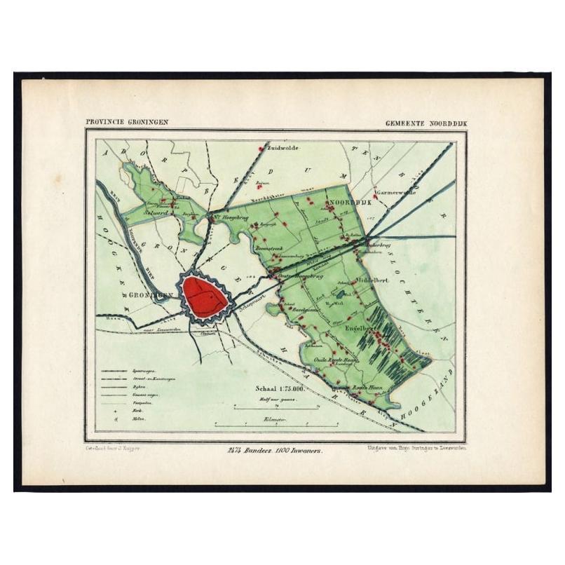
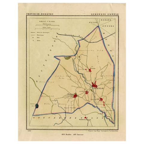
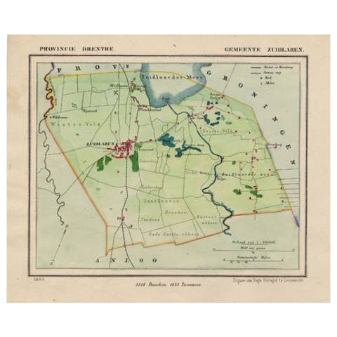
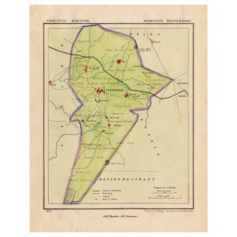
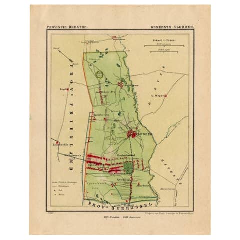
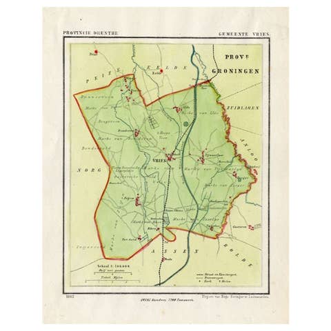
Groningen: Gemeente Engelbert, Middelbert, Noorddijk. These scarse detailed maps of Dutch Towns originate from the 'Gemeente-atlas' of Jacob Kuyper. This atlas of all towns in the Netherlands was published from 1865-1870 and included all towns in the Dutch province of Groningen. These maps are also known as a Kuyper kaart or Kuyper kaartjes from Groningen.
Artists and Engravers: Author: Jacob Kuyper: He was one of the most important of the Dutch atlas editors of the second half of the 19th century. He is particularly known for the ""Gemeente Atlas"", with 1210 plans of all the towns and villages in the Netherlands.
Technic: Lithograph with later handcolouring. We also carry the original border coloured maps.
Condition: Fine; occasional foxing as visible on the scans; sheet irregularly cut, not affecting image.
Date: 1865
Overall size: 8.7 x 7.1 inch
Image size: 0.001 x 7.9 x 5.9 inch.