
Maps & PrintsBartele Gallery · Langweer
Home / Antique Maps / Europe / Western Europe / The Netherlands & Belgium / Town Plans of Friesland

Town Plans of Friesland · 19th century

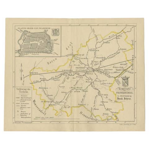
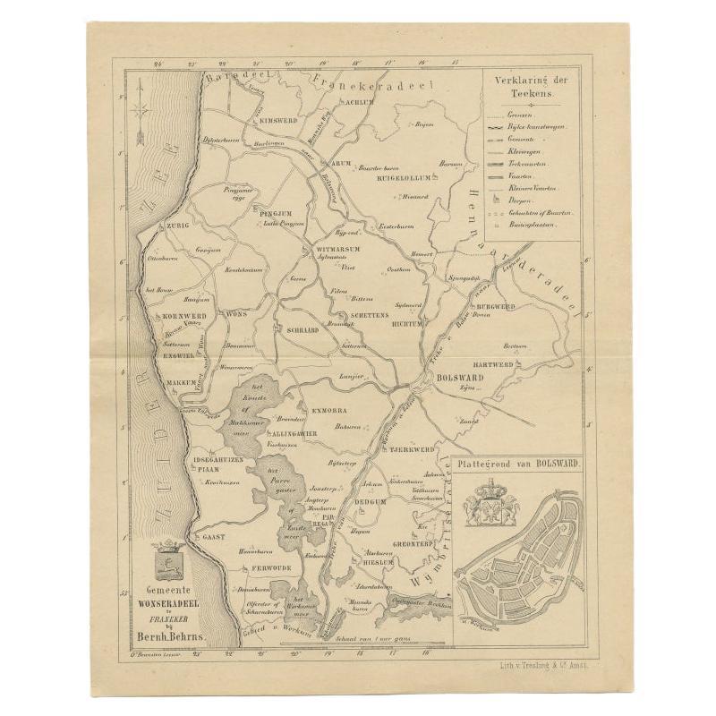
Antique Map of The Wonseradeel Township in Friesland, The Netherlands, 1861

€ 190

Original antique · The actual sheet photographed · Certificate of authenticity on request · Sold unframed · Worldwide shipping from € 15 (rates)

Date
1861
Sheet size
21.1 × 17.1 cm (8.3 × 6.7 in)
Condition
Good
Reference
BG-05105-35

About this sheet

Antique map titled 'Gemeente Wonseradeel'. Old map depicting the Wonseradeel township including cities and villages like Kimswerd, Achlum, Arum, Witmarsum, Kornwerd, Hichtum and Bolsward. This map orginates from 'Zak-Atlas van Friesland in 36 Kaarten'.

Artists and Engravers: Published by B. Behrns, Franeker.

Condition: Good, general age-related toning. Please study image carefully.
Date: 1861
Overall size: 17.1 x 21.1 cm.
Image size: 0.001 x 15.2 x 18.1 cm.

More from Town Plans of Friesland

Ask about this sheet

Antique Map of The Wonseradeel Township in Friesland, The Netherlands, 1861
1861 · Ref. BG-05105-35 · € 190
We reply by email, usually within one working day.