About this sheet
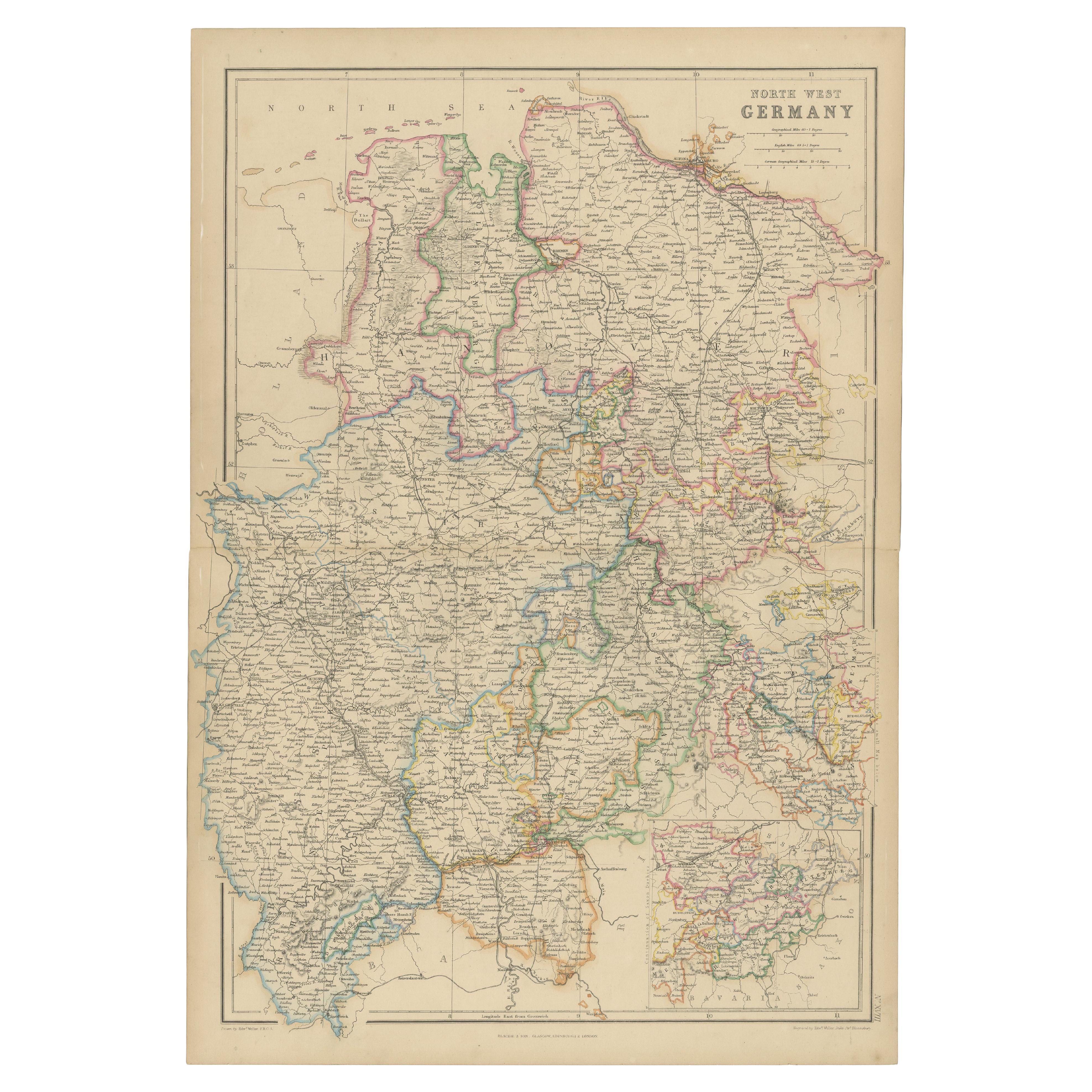
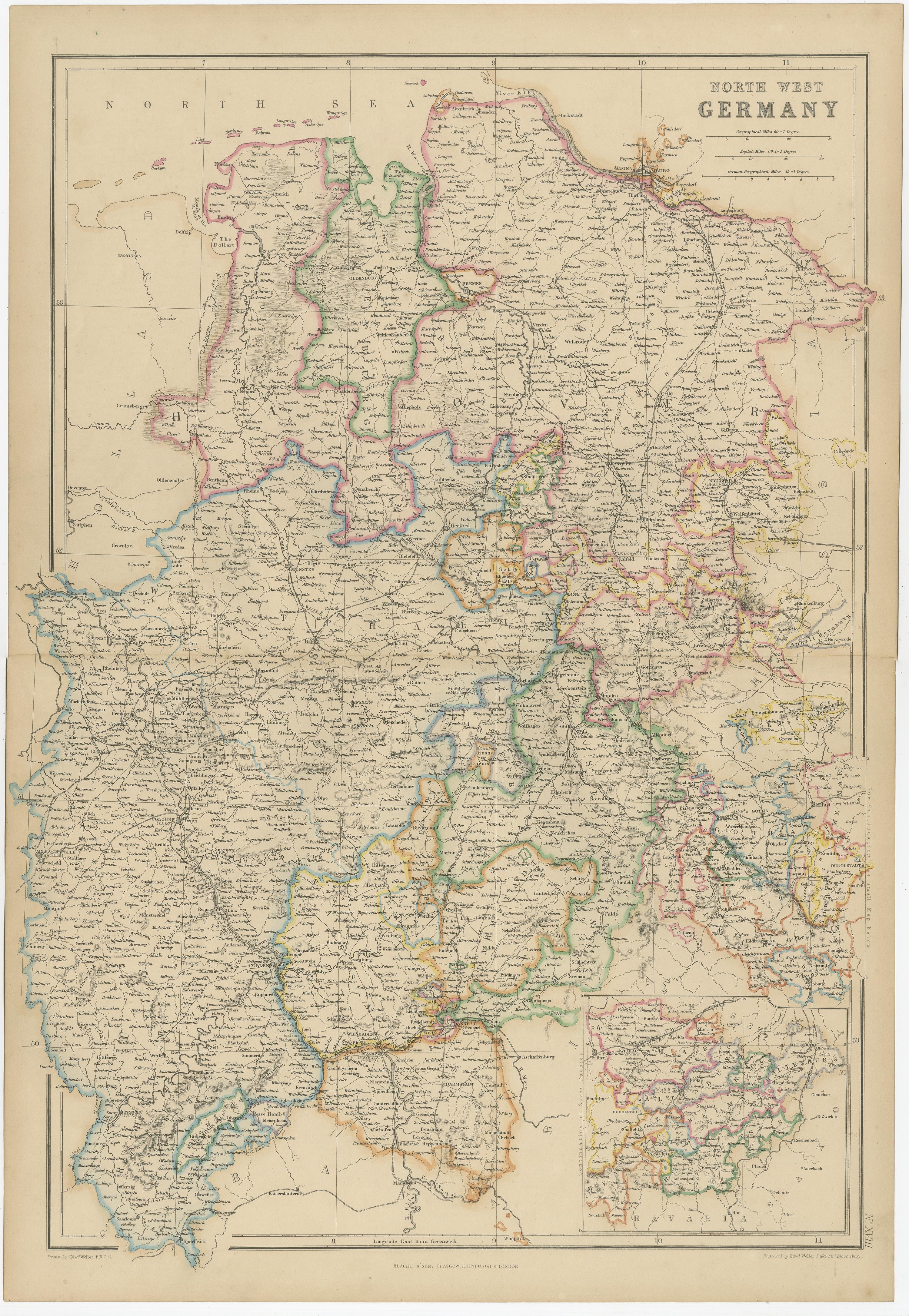
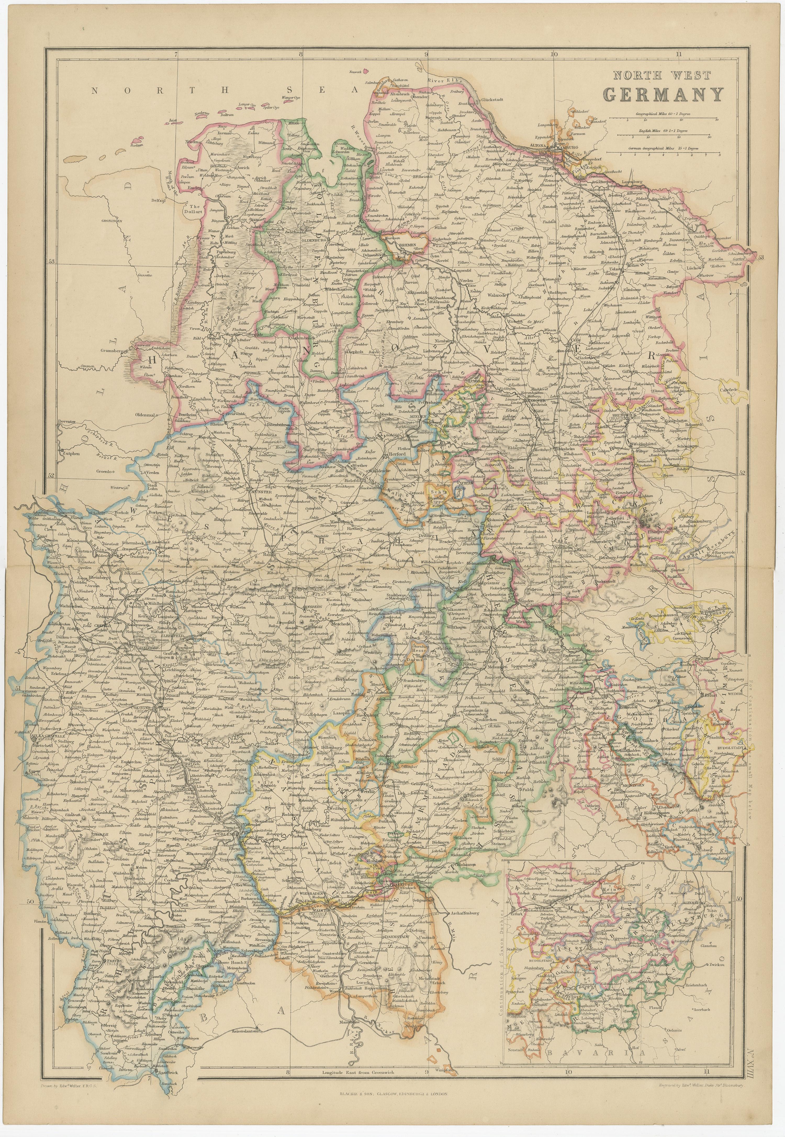
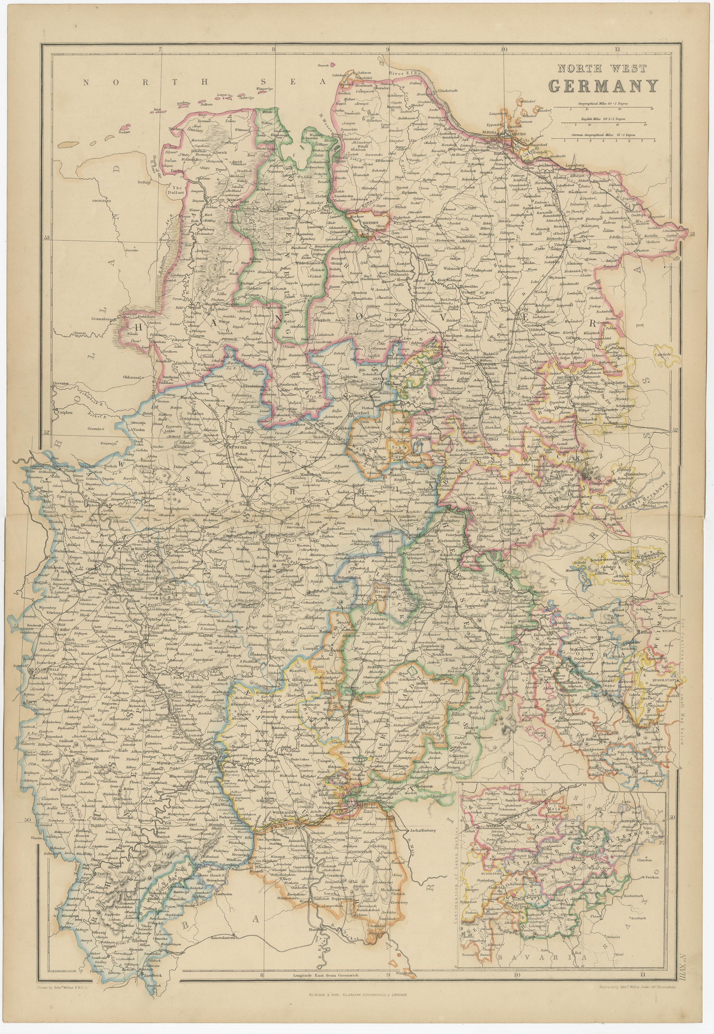
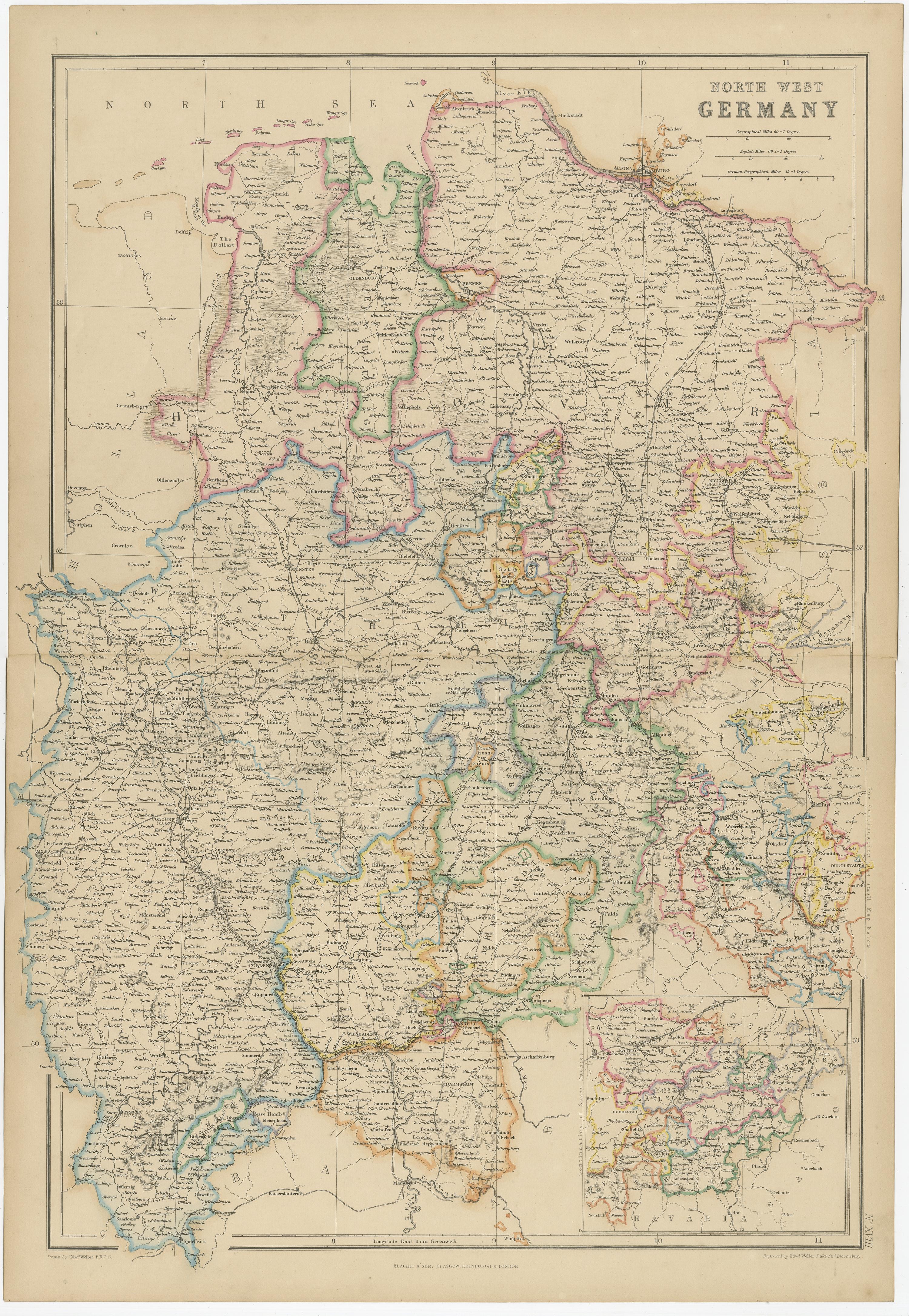
The "Antique Map of North West Germany" with an inset map of Bavaria is a distinguished piece from 'The Imperial Atlas of Modern Geography', published in 1859 by W. G. Blackie. This original antique map offers a detailed and historically significant portrayal of the northwestern region of Germany during the mid-19th century, supplemented by a focused inset of Bavaria.
**Key Features of the Map:**
1. **Geographical Coverage**: The map encompasses the northwestern part of Germany, including regions such as Lower Saxony, North Rhine-Westphalia, and parts of Hesse and Rhineland-Palatinate. It highlights the varied landscapes, from the North Sea coastline to the densely forested areas of the interior.
2. **Inset Map of Bavaria**: The inset provides a detailed view of Bavaria, a culturally and historically significant state in southeastern Germany. This additional map likely focuses on Bavaria's topography, major cities, and distinctive cultural landmarks.
3. **Political Divisions and Boundaries**: Reflecting the complex political landscape of 19th-century Germany, the map delineates the various kingdoms, principalities, and duchies that existed in the northwest region, offering insight into the political organization of the time.
4. **Urban Centers**: Key cities like Hamburg, Cologne, Frankfurt, and Düsseldorf are marked, along with other smaller towns and communities. The map provides a snapshot of urban development and population centers in northwestern Germany.
5. **Transportation Networks**: The map may illustrate the burgeoning railway lines, rivers, and roads, highlighting the transportation infrastructure that was instrumental in the region's economic development.
6. **Topographical Details**: Features such as the Harz Mountains, the Rhine River, and other natural landmarks are likely detailed, showcasing the geographic diversity of the region.
7. **Artistic and Aesthetic Elements**: In line with the Victorian era's cartographic style, the map likely includes ornate borders, an elegant title script, and possibly other artistic details, adding to its visual appeal.
8. **Educational and Historical Value**: As a historical document, this map is invaluable for educational purposes, providing insights into the geography and political divisions of northwestern Germany and Bavaria in the mid-19th century.
This map is not only a collector's item for enthusiasts of antique maps but also an important resource for historians, geographers, and anyone interested in the historical landscape and development of Germany.