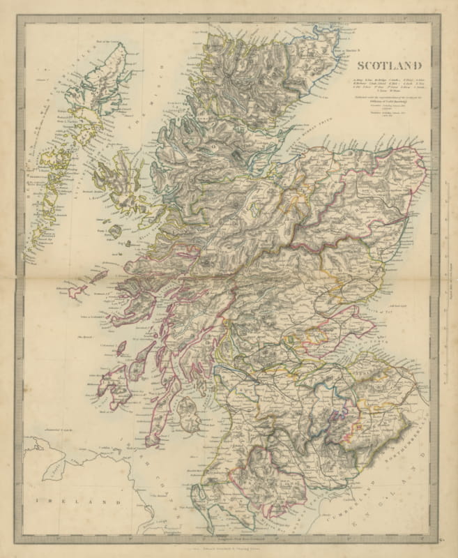
About this sheet
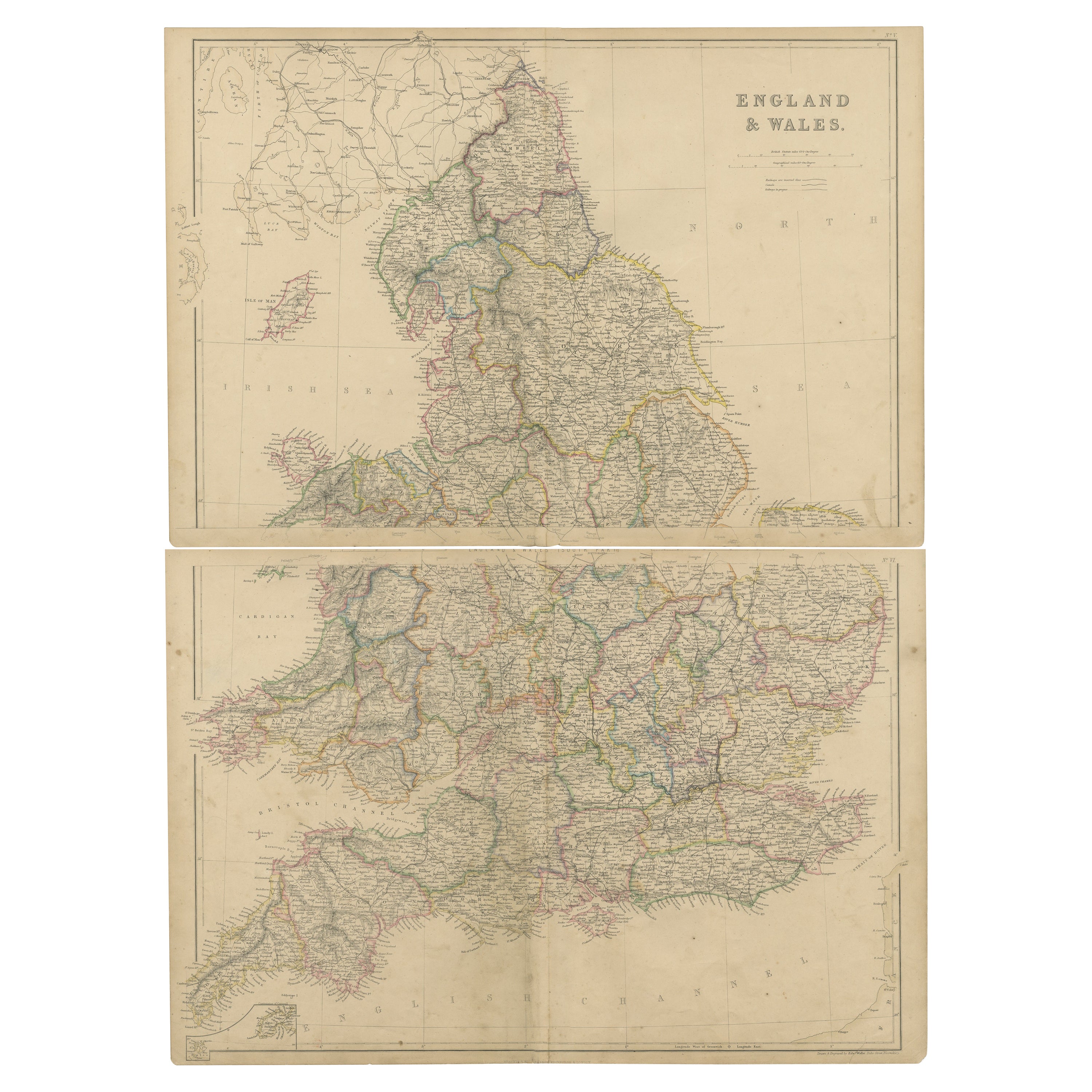
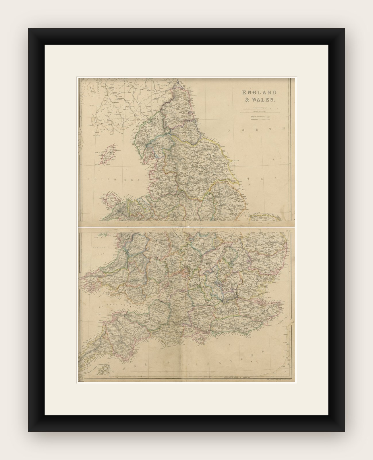
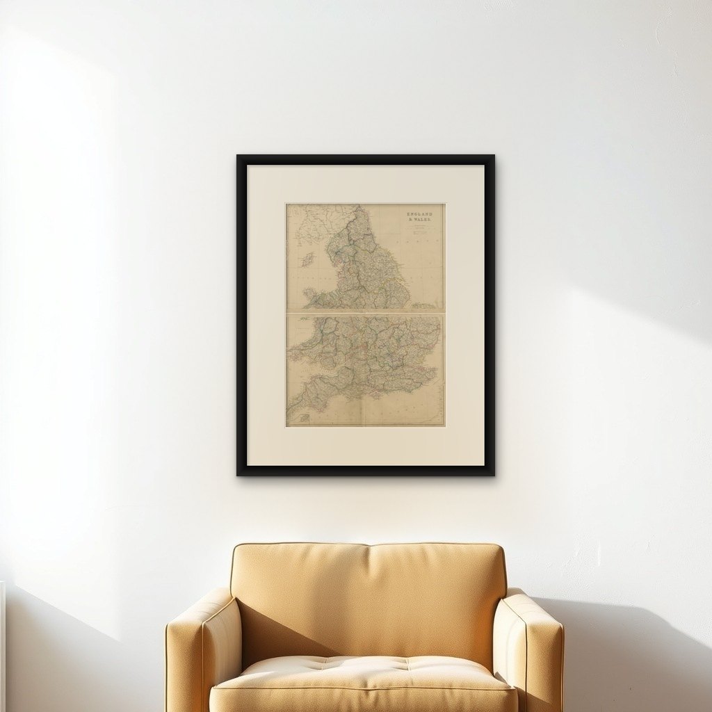
The "Antique Map of England & Wales" from 'The Imperial Atlas of Modern Geography', published by W. G. Blackie in 1859, is an original antique map that provides a detailed depiction of England and Wales during the mid-19th century. This map captures the geographical and political landscape of the region with remarkable detail and accuracy, characteristic of the Victorian era's cartographic style.
Key Features of the Map:
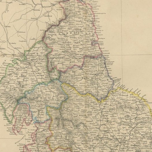
1. Geographical Detail: The map covers the entire regions of England and Wales, showcasing their diverse landscapes. It likely includes detailed renderings of key topographical features such as the Pennines, the Lake District, and the Welsh mountains, along with major rivers like the Thames, Severn, and Mersey.
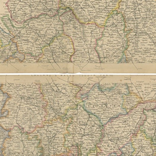
2. County Divisions: Reflecting the administrative divisions of the time, the map likely delineates the various counties in England and Wales, offering insight into the regional organization and local governance structures of the mid-19th century.
3. Urban Centers: Major cities such as London, Manchester, Liverpool, Cardiff, and Birmingham are prominently marked. The map provides a view of the urban distribution and key population centers, highlighting the growing industrial and economic hubs of the era.
4. Transportation Networks: The map may detail the expansive railway network, which was rapidly developing during this period, along with major roads and canals, underscoring the industrial growth and improved connectivity across England and Wales.
5. Coastal and Maritime Features: Given the importance of maritime trade and naval power, the map likely details the coastal geography, including significant ports and harbors along the English Channel, the Irish Sea, and the North Sea.
6. Artistic and Aesthetic Elements: In line with the Victorian era's cartographic style, the map probably features ornate borders, an elegant title script, and possibly other artistic flourishes that enhance its visual appeal.
7. Educational and Historical Value: As a historical document, this map is invaluable for educational purposes, offering a glimpse into the geographical knowledge and perceptions of England and Wales in the mid-19th century.
This antique map of England and Wales is not only a collector’s item for enthusiasts of historical maps but also an important resource for historians, geographers, and anyone interested in the historical landscape and development of the British Isles. It captures a pivotal moment in the history of England and Wales, reflecting the era's cultural, industrial, and geographical transformations.