About this sheet
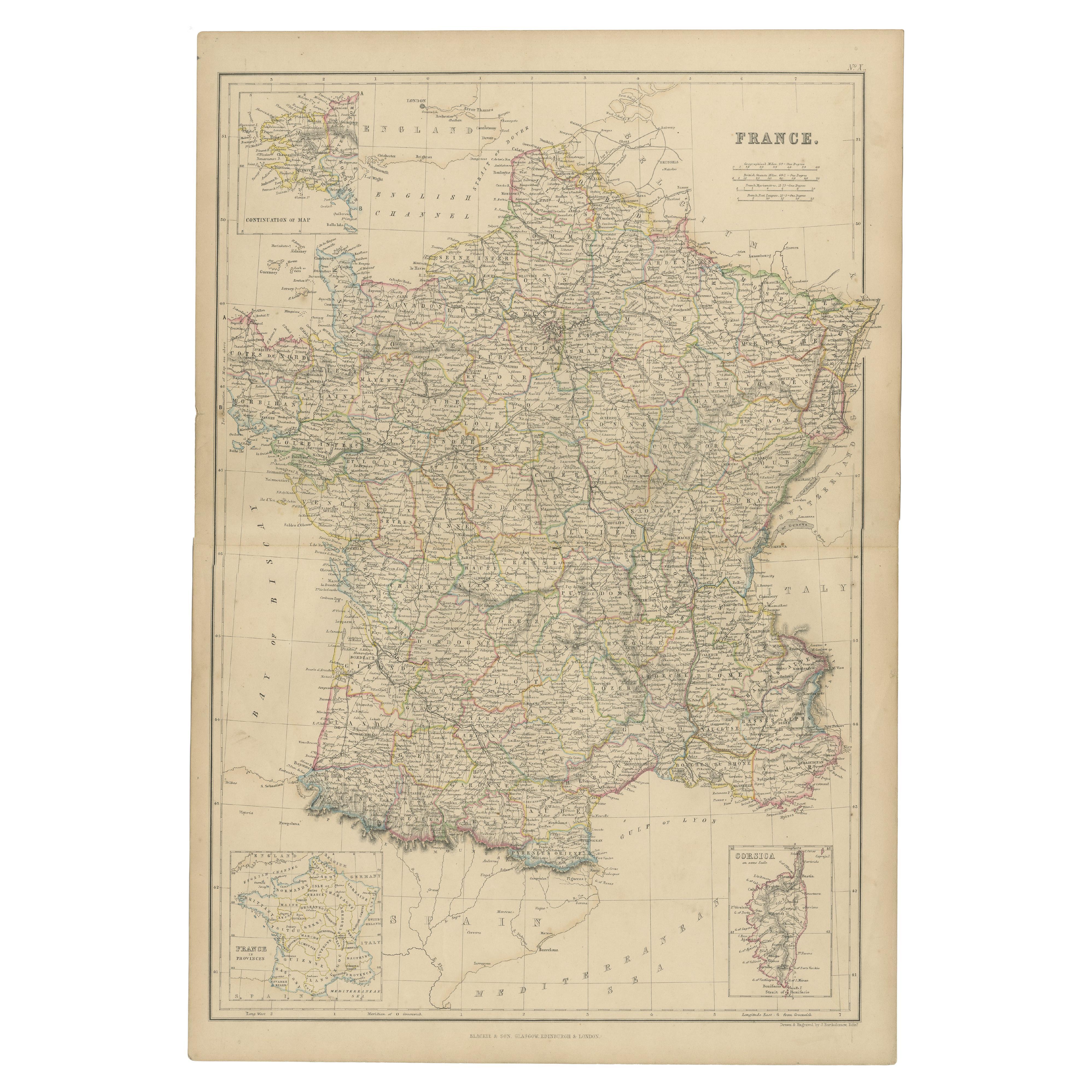
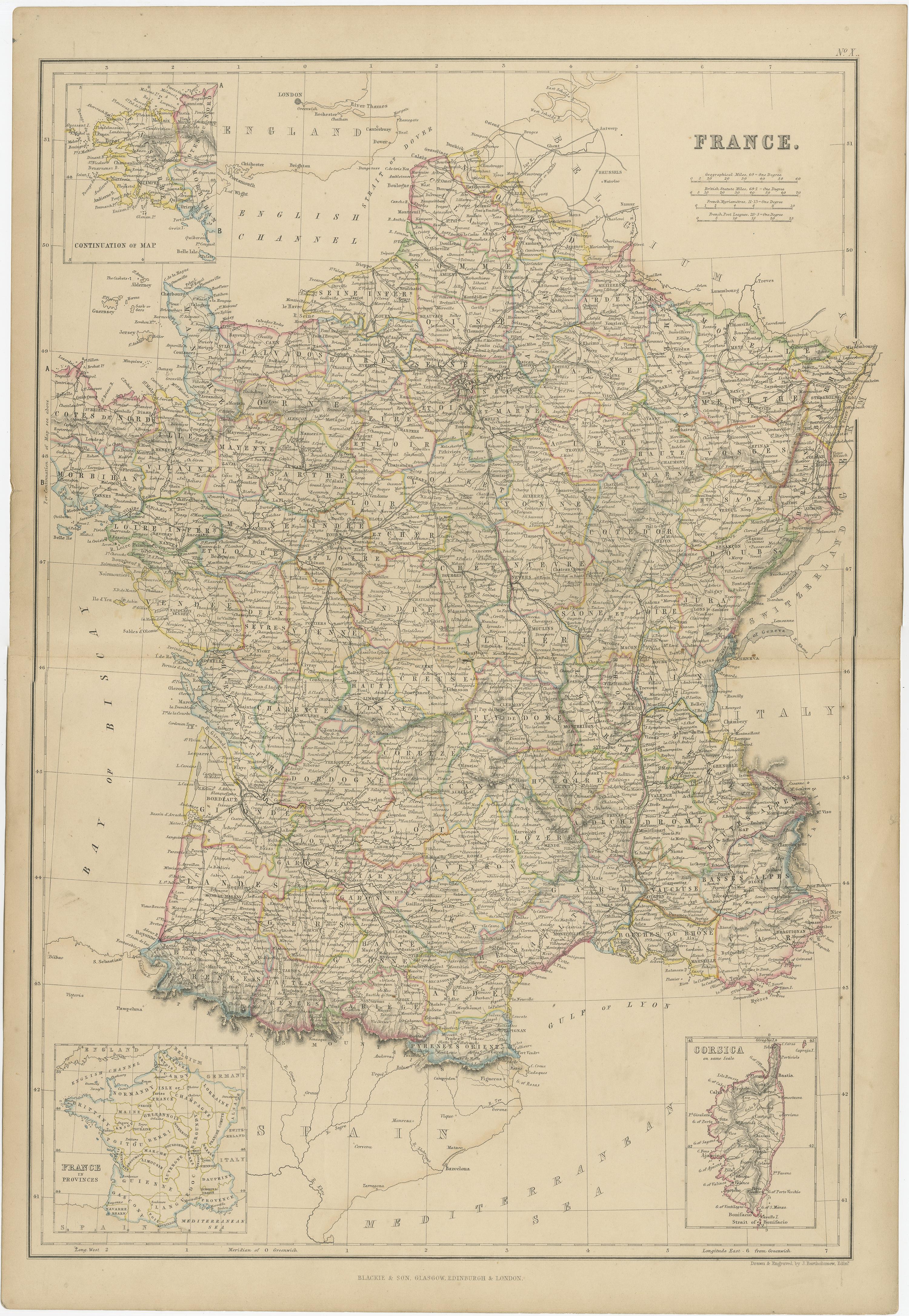
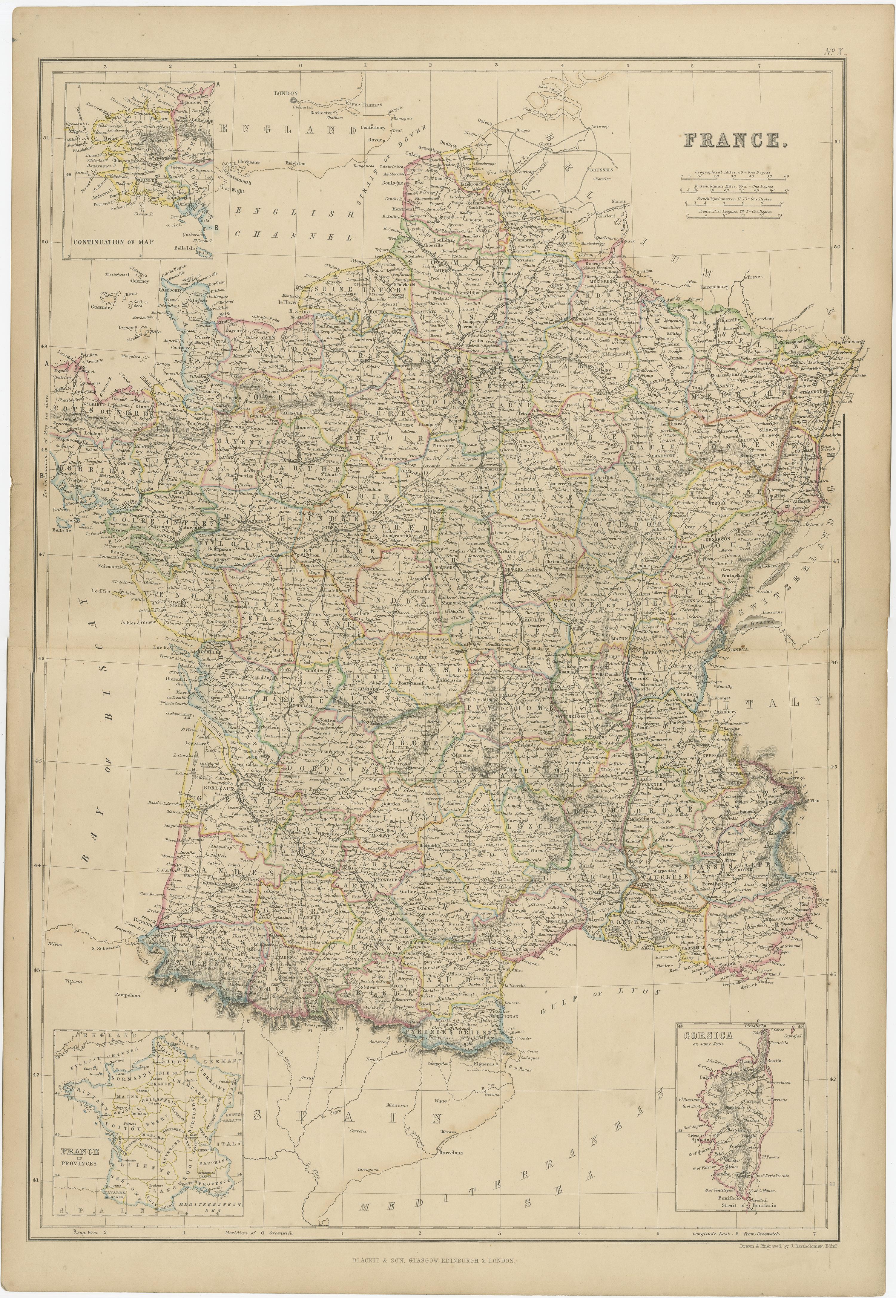
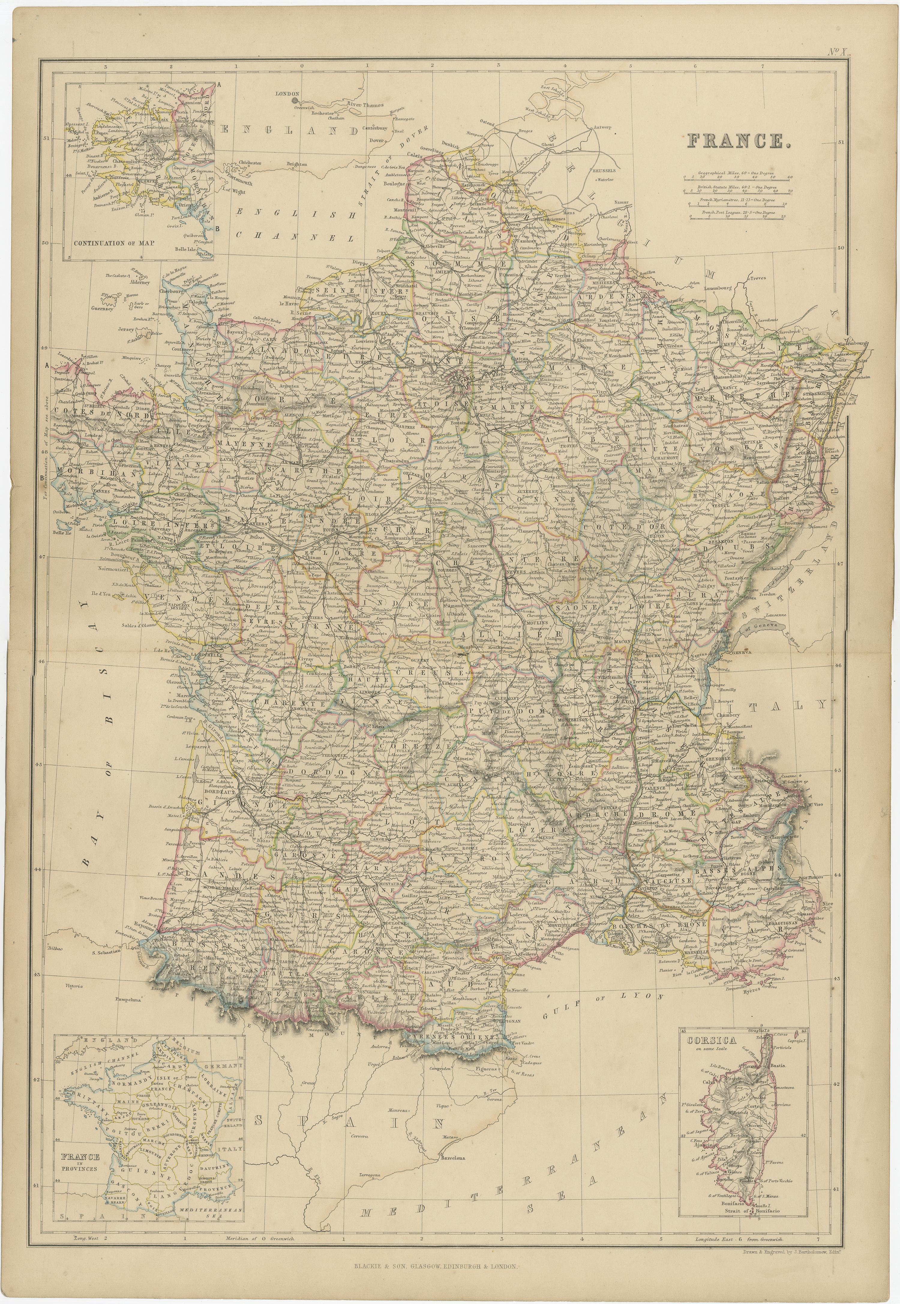
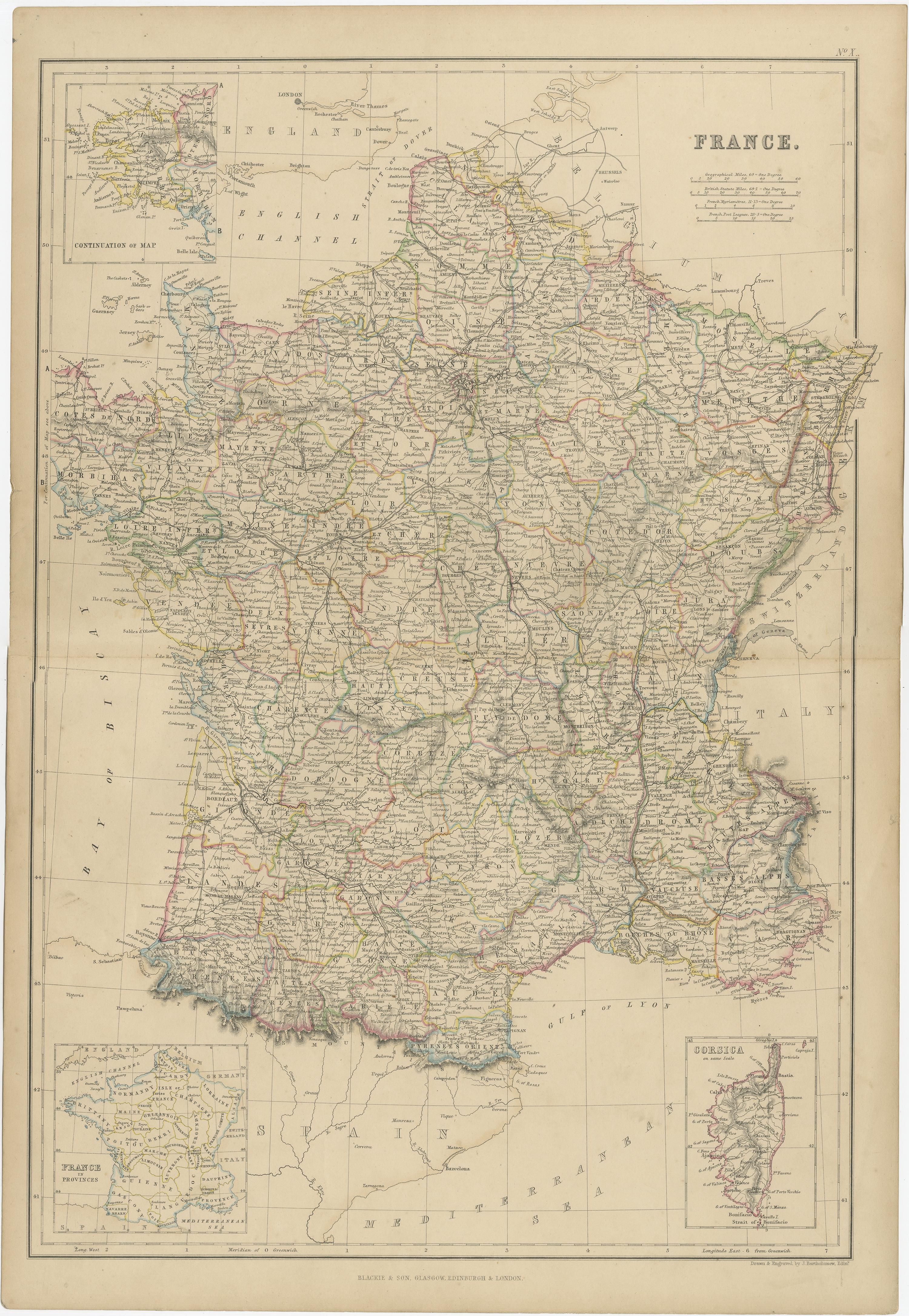
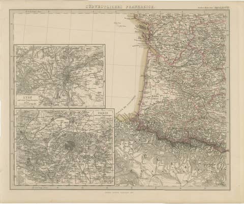
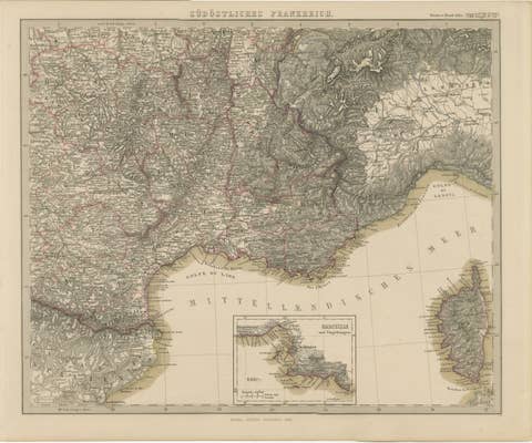
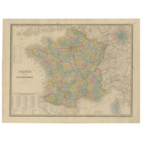
The "Antique Map of France" from 'The Imperial Atlas of Modern Geography', published in 1859 by W. G. Blackie, is a historically valuable cartographic work that offers a comprehensive depiction of France as it was understood in the mid-19th century.
**Key Features of the Map:**
1. **Geographical Coverage**: The map encompasses the entirety of France, illustrating the country's diverse landscapes, from the coastal regions of the Atlantic and the Mediterranean to the mountain ranges of the Alps and Pyrenees.
2. **Political Boundaries**: Reflecting the political divisions of the time, the map likely delineates the various departments of France, offering insight into the administrative organization of the country during the Second French Empire under Napoleon III.
3. **Urban and Rural Details**: Major cities like Paris, Marseille, Lyon, and Bordeaux are prominently marked, along with smaller towns and villages. The map provides a detailed view of France's urban landscape and rural settlements, highlighting key cultural and economic centers.
4. **Topographical Features**: The map would typically showcase France's topographical diversity, including river systems like the Seine, Loire, and Rhone, as well as significant geographical landmarks and natural features.
5. **Transportation Infrastructure**: Given the period, the map might detail the expanding network of railways and roads, reflecting the industrial growth and modernization of France during this era.
6. **Artistic and Aesthetic Elements**: True to the Victorian era's style, the map is likely to feature ornate borders, an elegant title script, and other artistic details, adding to its visual and historical appeal.
7. **Educational and Historical Significance**: As a part of 'The Imperial Atlas of Modern Geography', this map serves as an important educational tool, providing insights into the geographical understanding and perceptions of France in the mid-19th century.
This antique map of France is not only a collector’s item for enthusiasts of historical maps but also an invaluable resource for historians, geographers, and those interested in the historical development and geography of France. It captures a significant period in French history, making it a fascinating piece for anyone interested in the evolution of European geography and cartography.