About this sheet
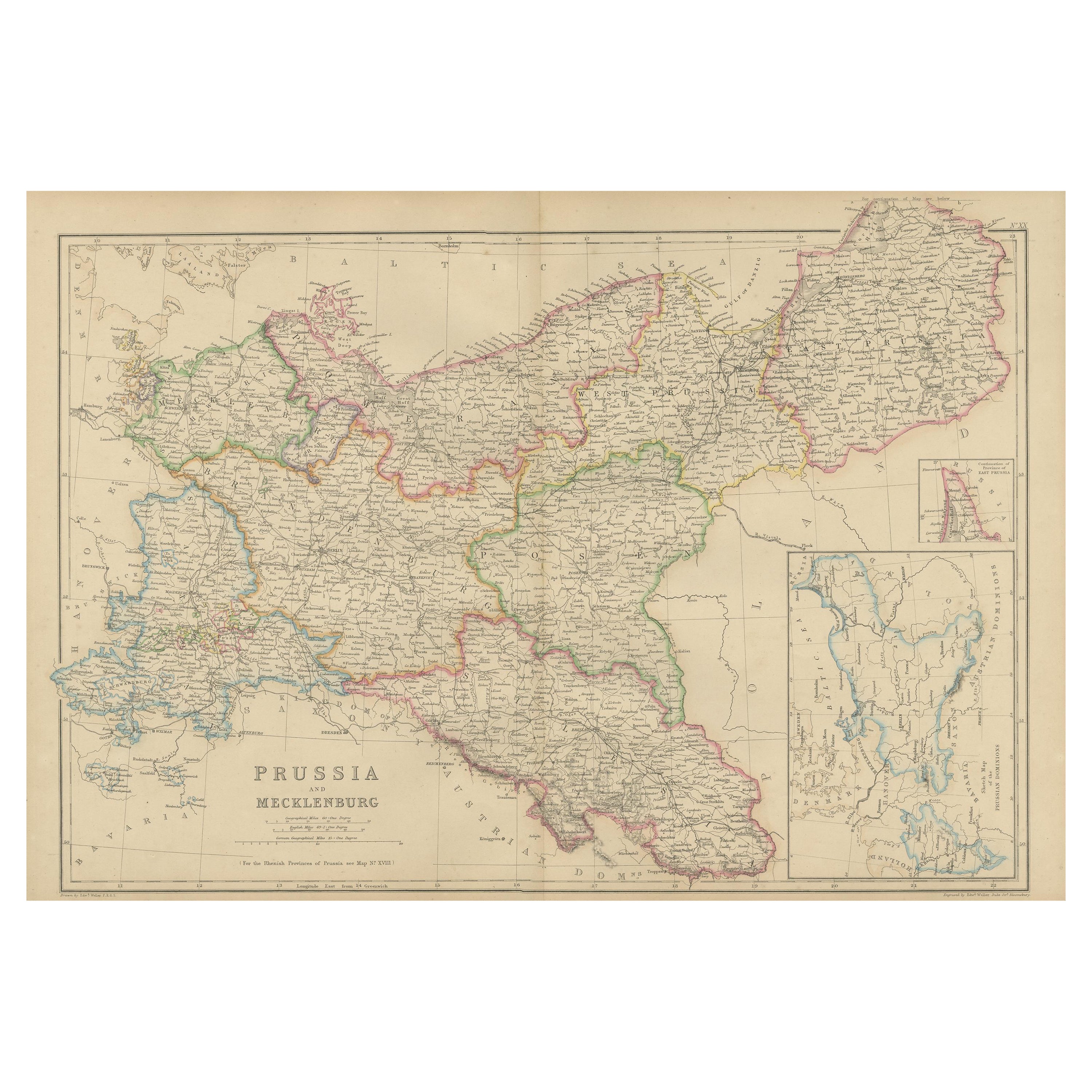
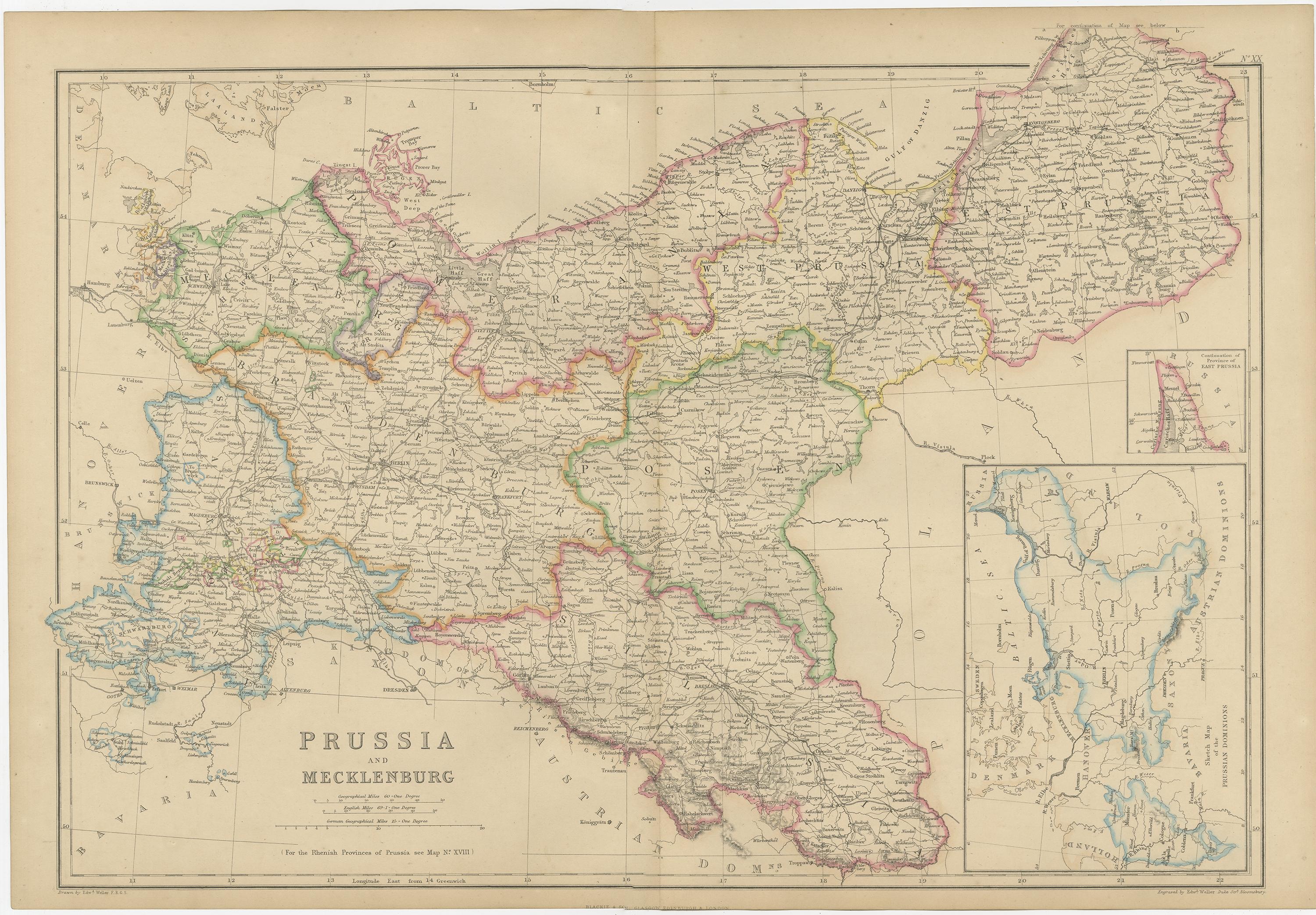
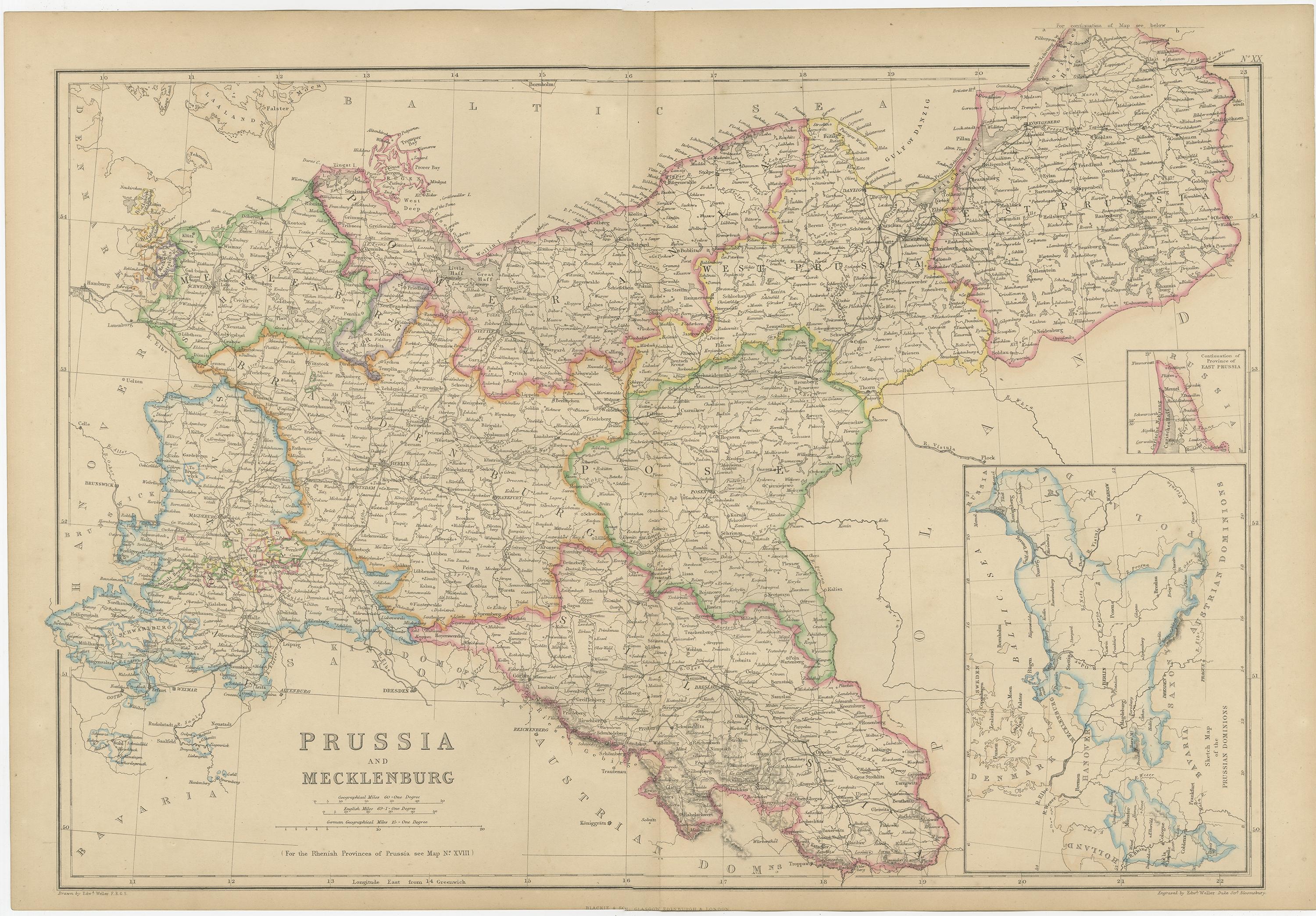
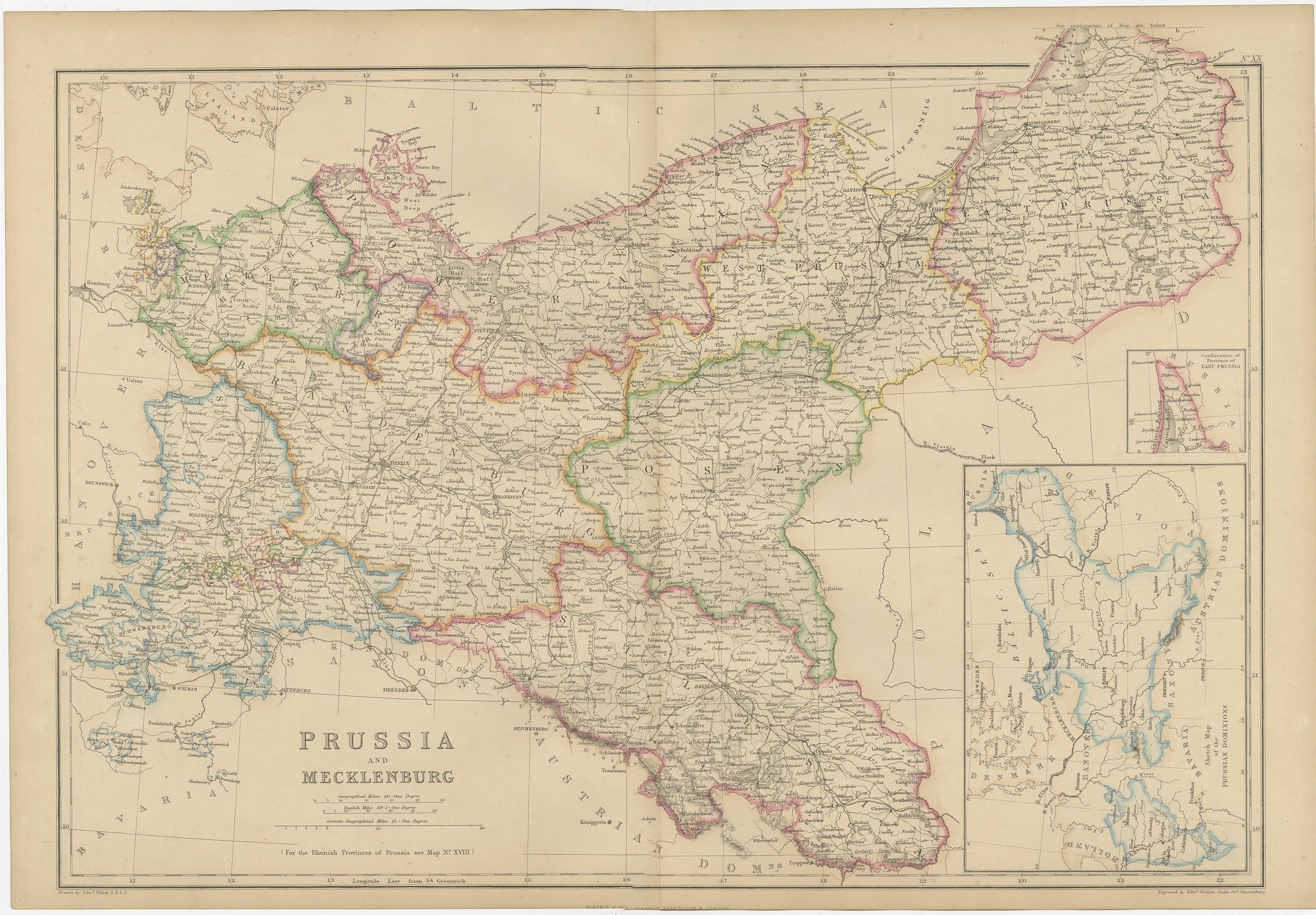
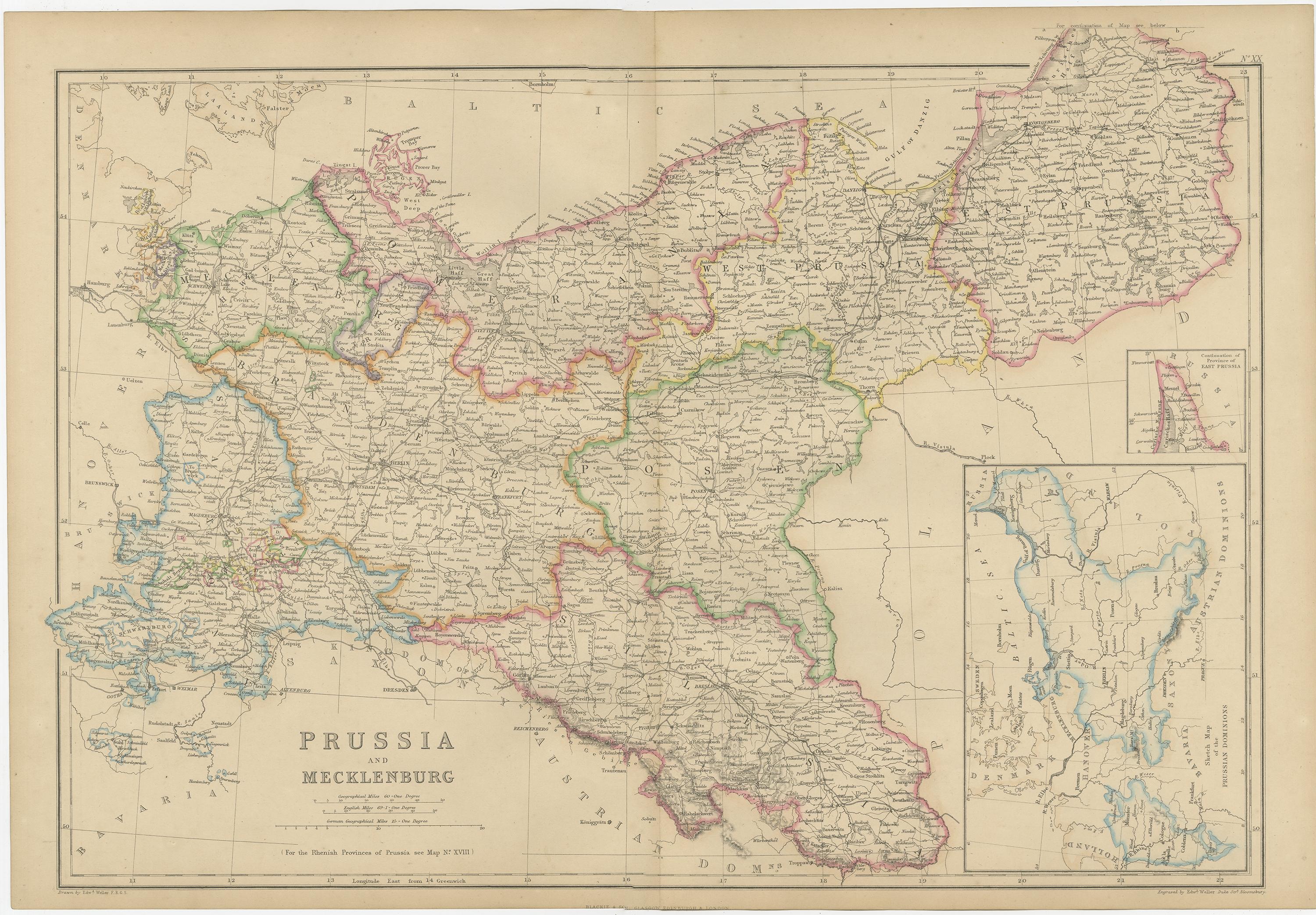
Antique Map of Prussia & Mecklenburg, Hand Colored, Blackie, circa 1859
This detailed antique map depicts Prussia and Mecklenburg at the height of their 19th-century territorial extent, showing an exceptionally complex political and geographic landscape just prior to German unification. The map presents East and West Prussia, Brandenburg, Pomerania, Silesia, and Mecklenburg, with provincial boundaries carefully hand colored to distinguish administrative divisions.
Cities, towns, roads, rivers, canals, and railways are densely engraved, reflecting the military, economic, and bureaucratic importance of Prussia during this period. Major centers such as Berlin, Königsberg, Breslau, Stettin, Danzig, Magdeburg, Potsdam, and Rostock are clearly marked, alongside the Oder, Vistula, Elbe, and Oder–Spree canal systems that underpinned regional trade and transport.
Inset maps provide additional geographic clarity, including focused views of East Prussia and surrounding Baltic regions. Coastlines along the Baltic Sea are finely delineated, with bays, ports, and islands rendered in careful detail. The engraving combines precision with elegance, enhanced by original hand coloring that improves legibility without overwhelming the line work.
Published around 1860 by Blackie & Son of Glasgow, Edinburgh, and London, this map comes from a respected British atlas series known for accuracy and clarity. It is both an important historical document and a visually compelling decorative piece, appealing to collectors of German history, military cartography, and 19th-century European maps.
Condition report:
Good antique condition. Light overall age toning and minor scattered foxing, mainly in the margins. Original central fold as issued. Plate mark visible. No major tears or losses.
Framing tips:
A wide ivory or soft parchment mat enhances the dense engraving and hand coloring. Suitable frame options include dark walnut, black, or antique bronze for a refined library or study setting.
Technique: Copper engraving with original hand color
Maker: Blackie & Son, Glasgow, Edinburgh & London, circa 1859
Keywords:
antique prussia map, prussia and mecklenburg map, antique germany map, prussian empire map, east prussia map, west prussia map, mecklenburg map, brandenburg map, pomerania map, silesia map, baltic sea map, 19th century map, victorian map, blackie map, blackie and son, british atlas map, hand colored map, copper engraved map, historical cartography, antique wall map, german history map, old world map, vintage cartography, collectible map, library wall art, study decor map, decorative antique map, berlin map, konigsberg map, breslau map, stettin map, danzig map, magdeburg map, potsdam map, rostock map, elbe river map, oder river map, vistula river map, prussian provinces, german states map, european antique map, central europe map, military history map, political boundaries map, framed antique map, interior design wall art, historical geography, classic interior decor