About this sheet
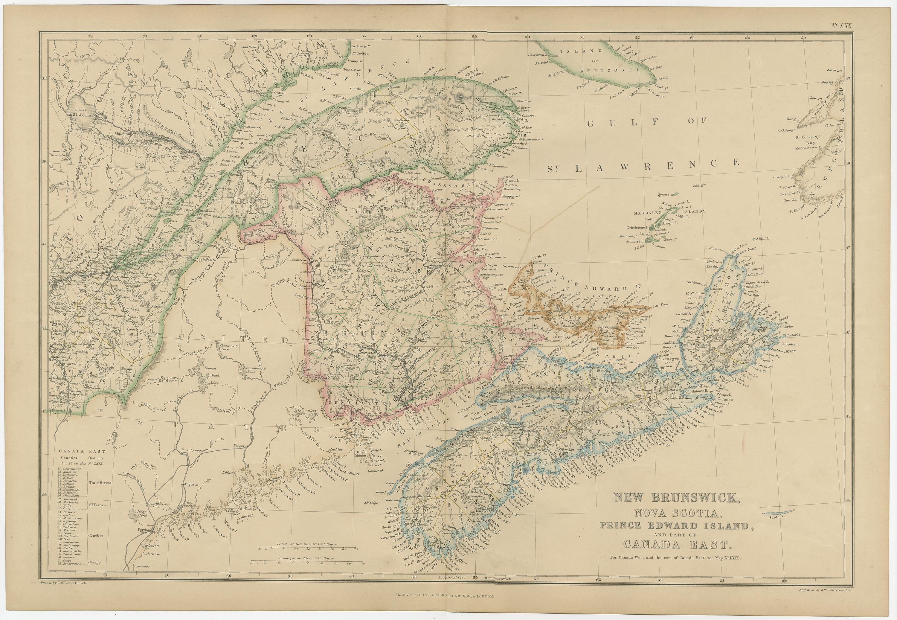
New Brunswick, Nova Scotia, Prince Edward Island, Antique Map, Canada East 1859
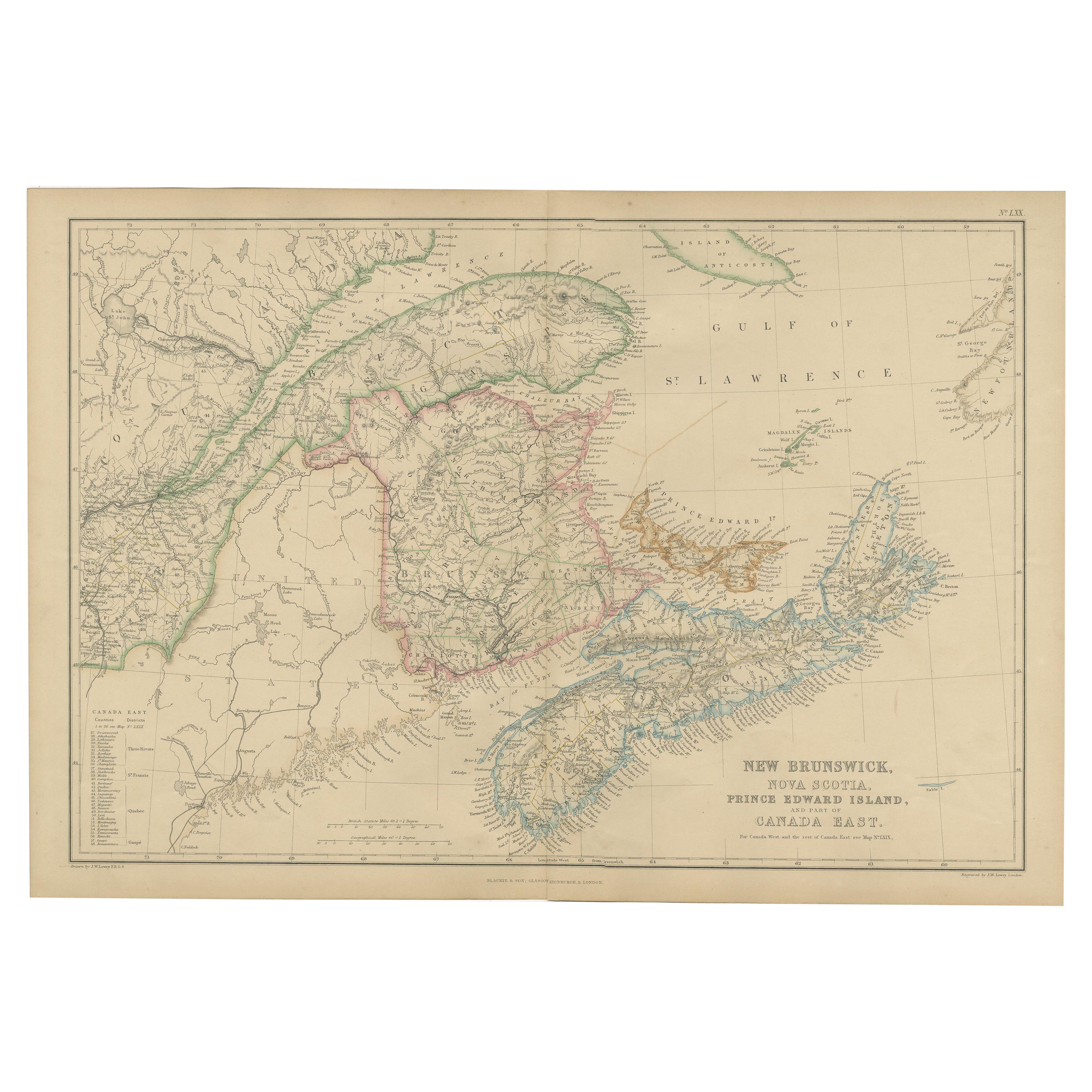
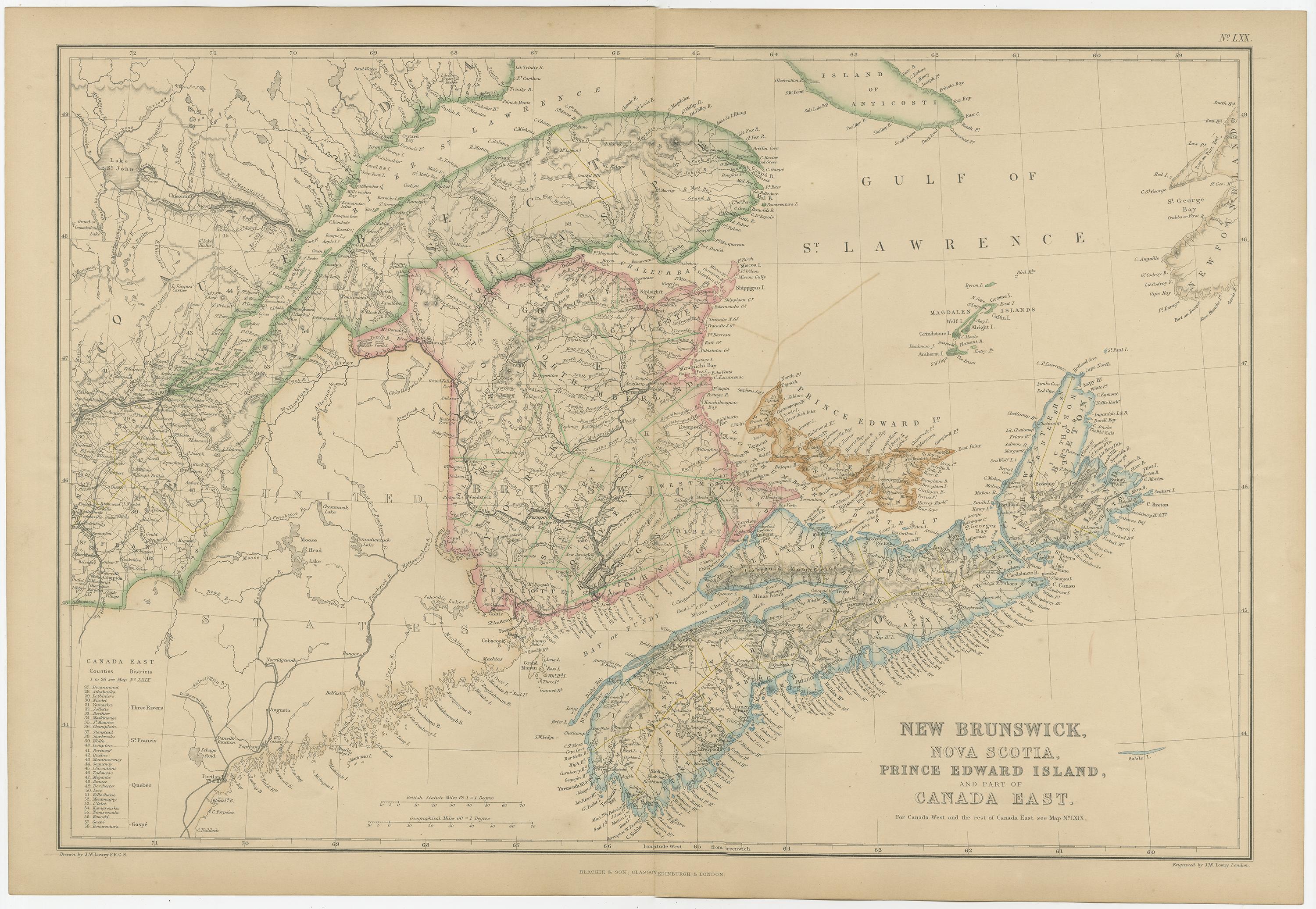
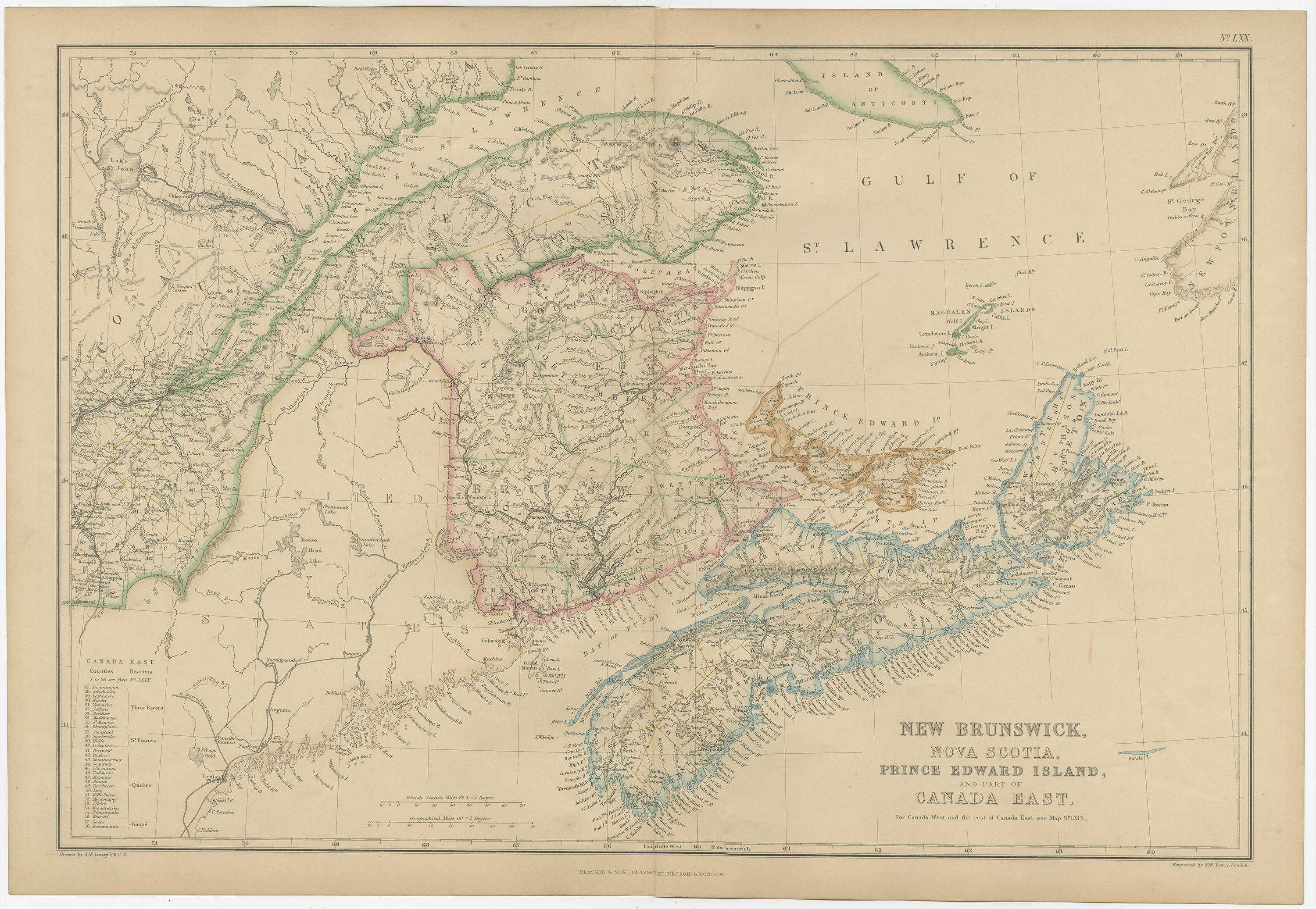
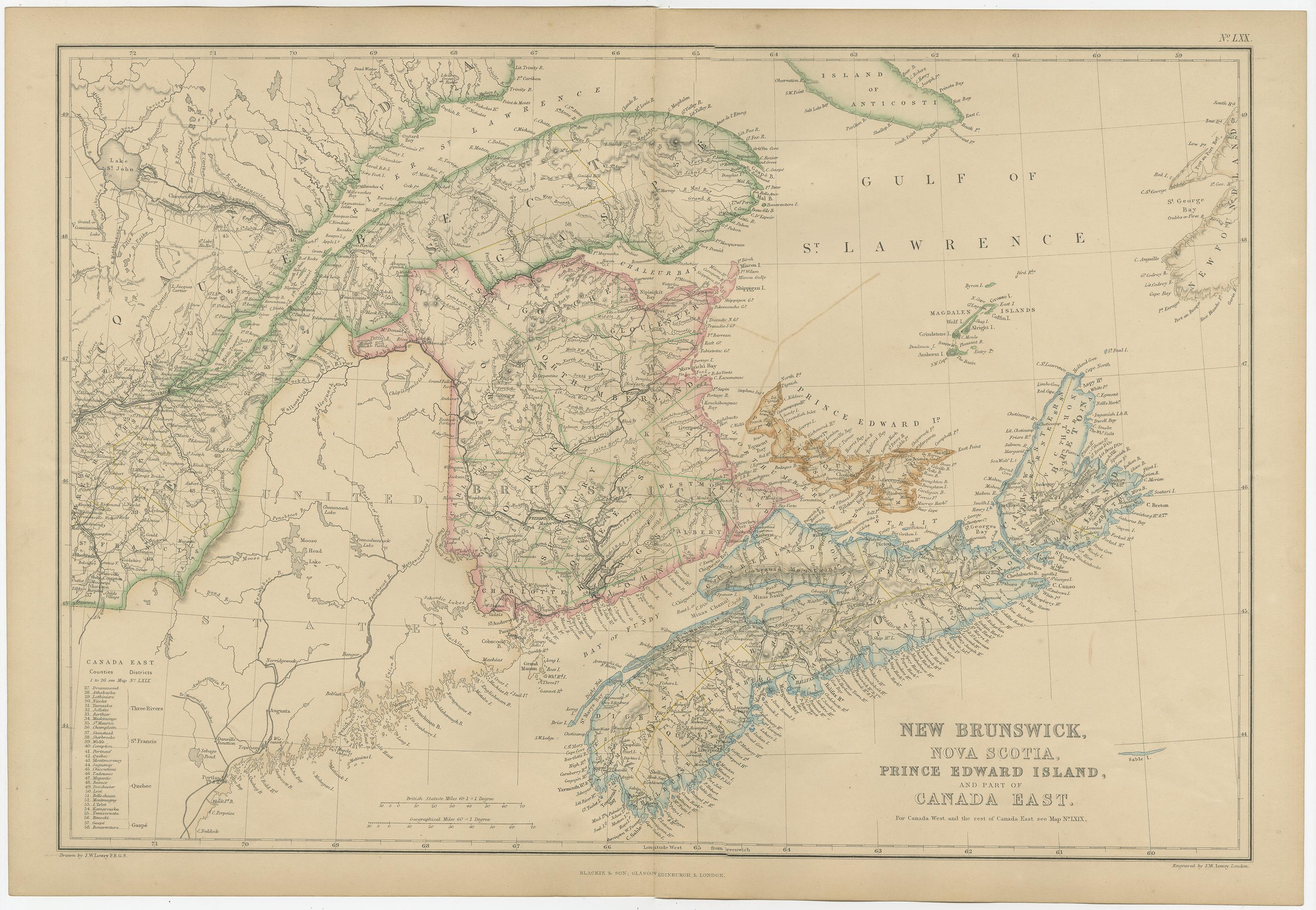
This original antique map titled New Brunswick, Nova Scotia, Prince Edward Island, and Part of Canada East depicts the Maritime Provinces and eastern Canada as understood in the mid-19th century. The map originates from The Imperial Atlas of Modern Geography and was published in 1859 by W. G. Blackie, a leading British publisher renowned for producing high-quality educational and reference atlases.
The map covers New Brunswick, Nova Scotia, Cape Breton Island, Prince Edward Island, and adjacent areas of Canada East (present-day Quebec), extending into the Gulf of St. Lawrence and the Atlantic Ocean. Provincial and regional boundaries are clearly defined with original hand coloring, while the engraving records towns, settlements, rivers, road networks, and coastal features in fine detail. The intricate coastlines, bays, and inlets of the Atlantic seaboard are rendered with particular care, emphasizing the maritime character of the region.
Major waterways, including the St. Lawrence River system and numerous inland rivers, structure the composition and reflect their importance for transportation, trade, and settlement. Place names and divisions reflect contemporary colonial geography, offering valuable insight into how eastern Canada was mapped and understood prior to Confederation.
The balanced layout, combining dense inland detail with open sea areas, gives the map both scholarly clarity and strong decorative appeal. Its generous horizontal format and subtle original coloring make it suitable both for collectors of Canadian and colonial cartography and for interior designers seeking a refined, historically grounded wall map.
Condition report:
Good antique condition. Light overall age toning consistent with age. Minor scattered foxing and light handling marks, mainly visible in the margins. Original central fold as issued. No major tears or losses.
Framing tips:
An ivory or warm cream mat will complement the engraved detail and original hand coloring. A dark walnut, black, or understated antique gilt frame works well for both traditional and contemporary interiors. Museum or UV-protective glass is recommended.
Technique: Copper engraving with original hand coloring
Maker: W. G. Blackie, Scotland, 1859
Keywords:
New Brunswick map, Nova Scotia map, Prince Edward Island map, Canada East map, Quebec map, Maritime Provinces, Atlantic Canada, Gulf of St Lawrence, St Lawrence River, Cape Breton Island, Halifax, Saint John, Fredericton, Charlottetown, Quebec City, Montreal, Bay of Fundy, Atlantic Ocean, colonial Canada, pre Confederation Canada, British North America, 19th century map, antique Canadian map, Blackie atlas, Imperial Atlas, hand colored map, copper engraved map, historical cartography, colonial cartography, maritime history, nautical coastline, harbor towns, river systems, settlement patterns, trade routes, exploration era, British Empire maps, educational atlas, wall map art, antique wall map, interior design art, collector map, North America map, eastern Canada geography, historical boundaries, provincial borders, cartographic engraving, Victorian atlas, 1860 map