About this sheet
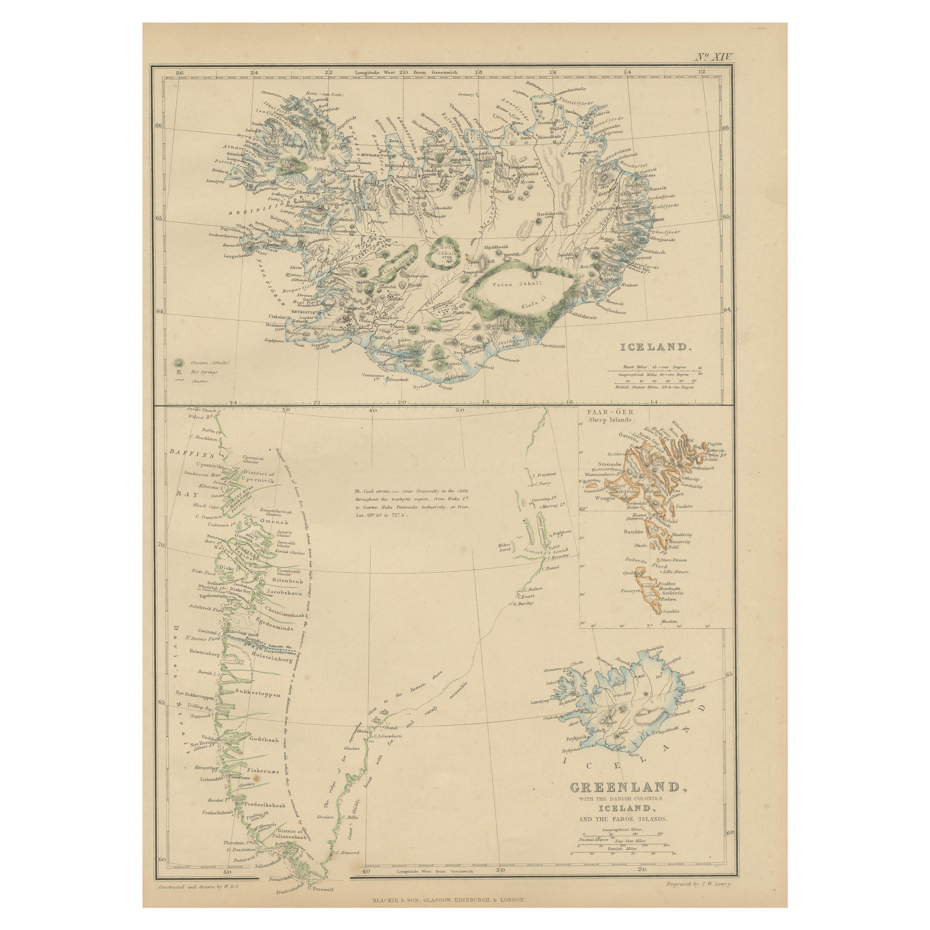
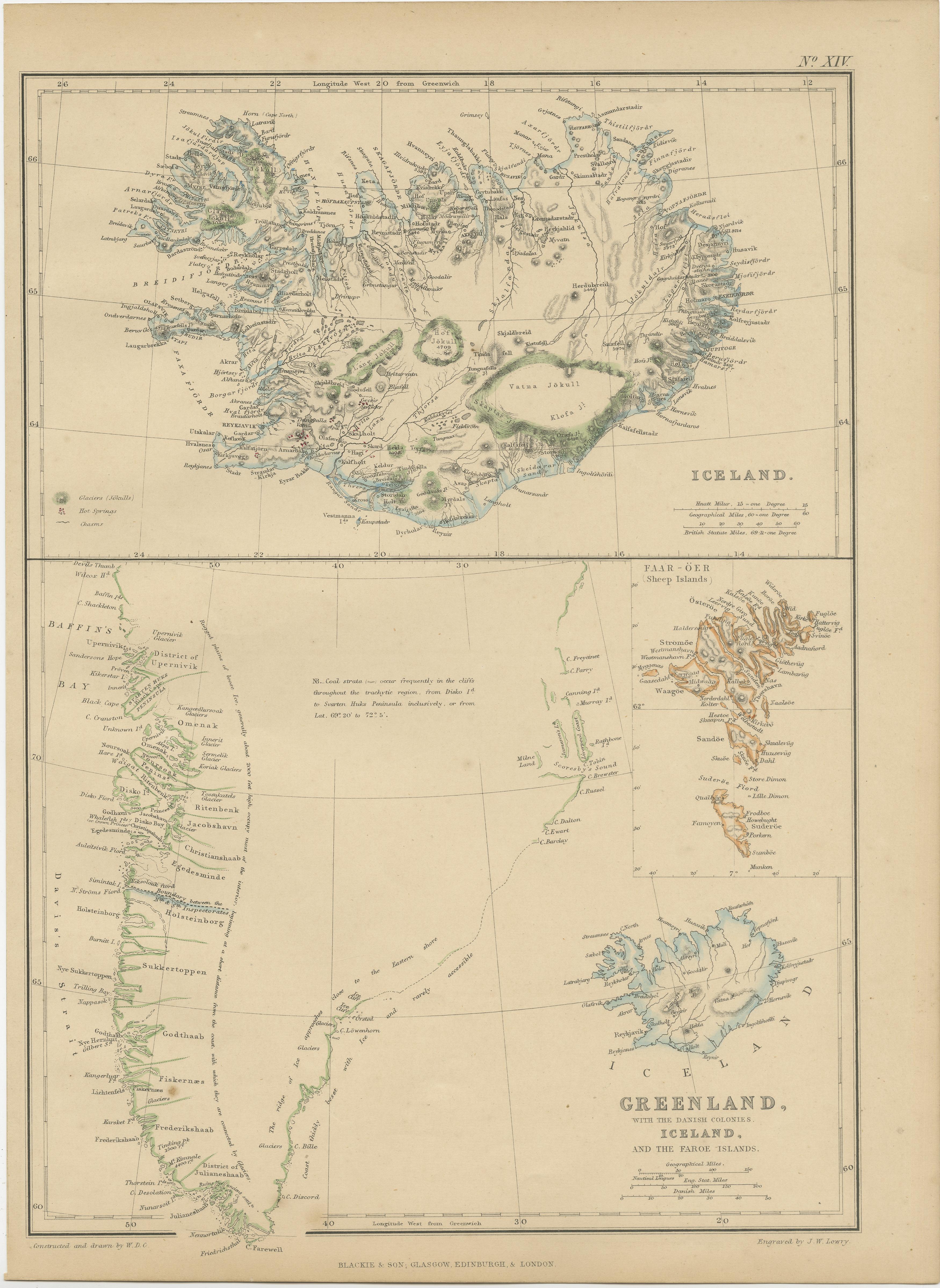
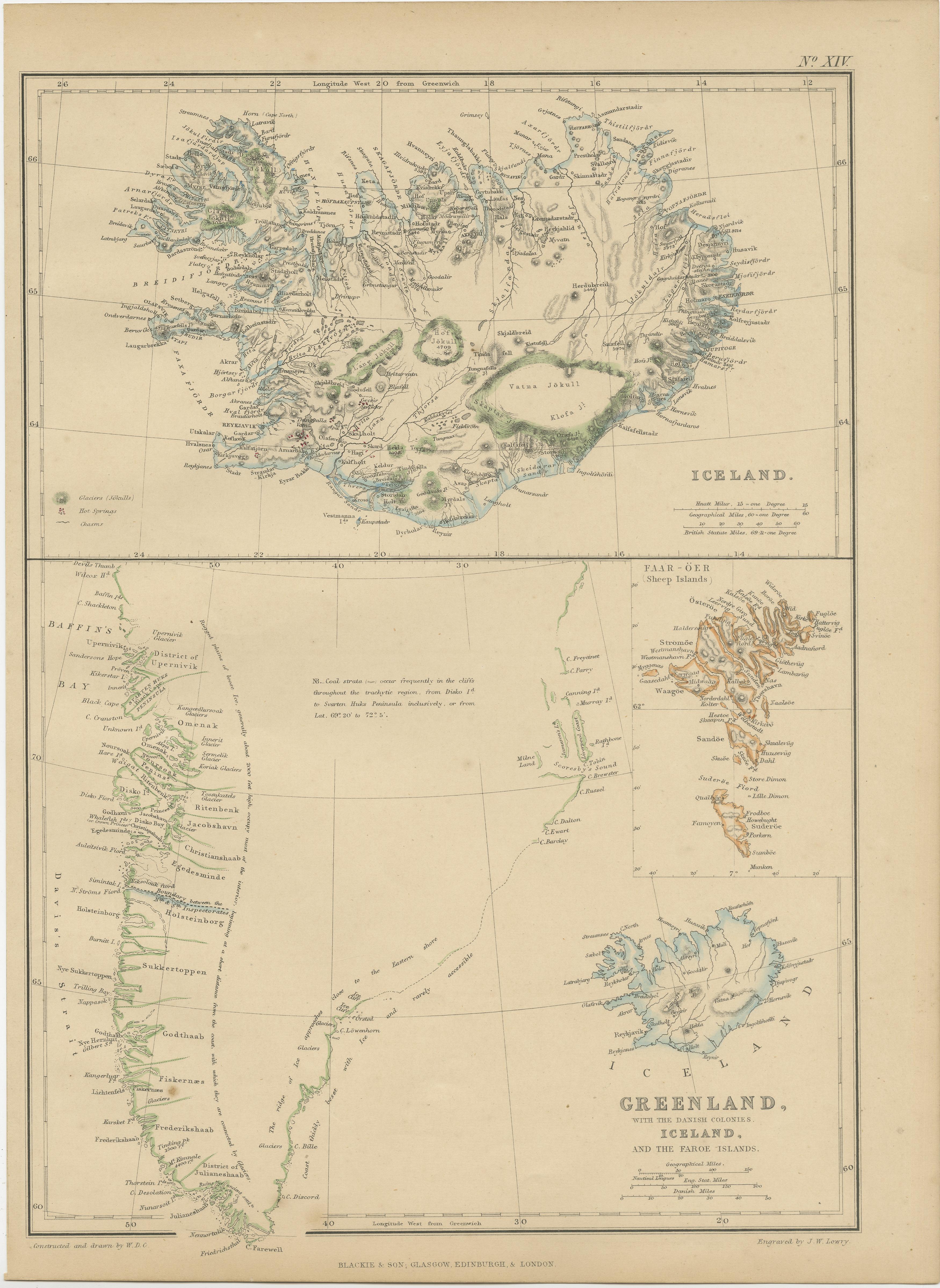
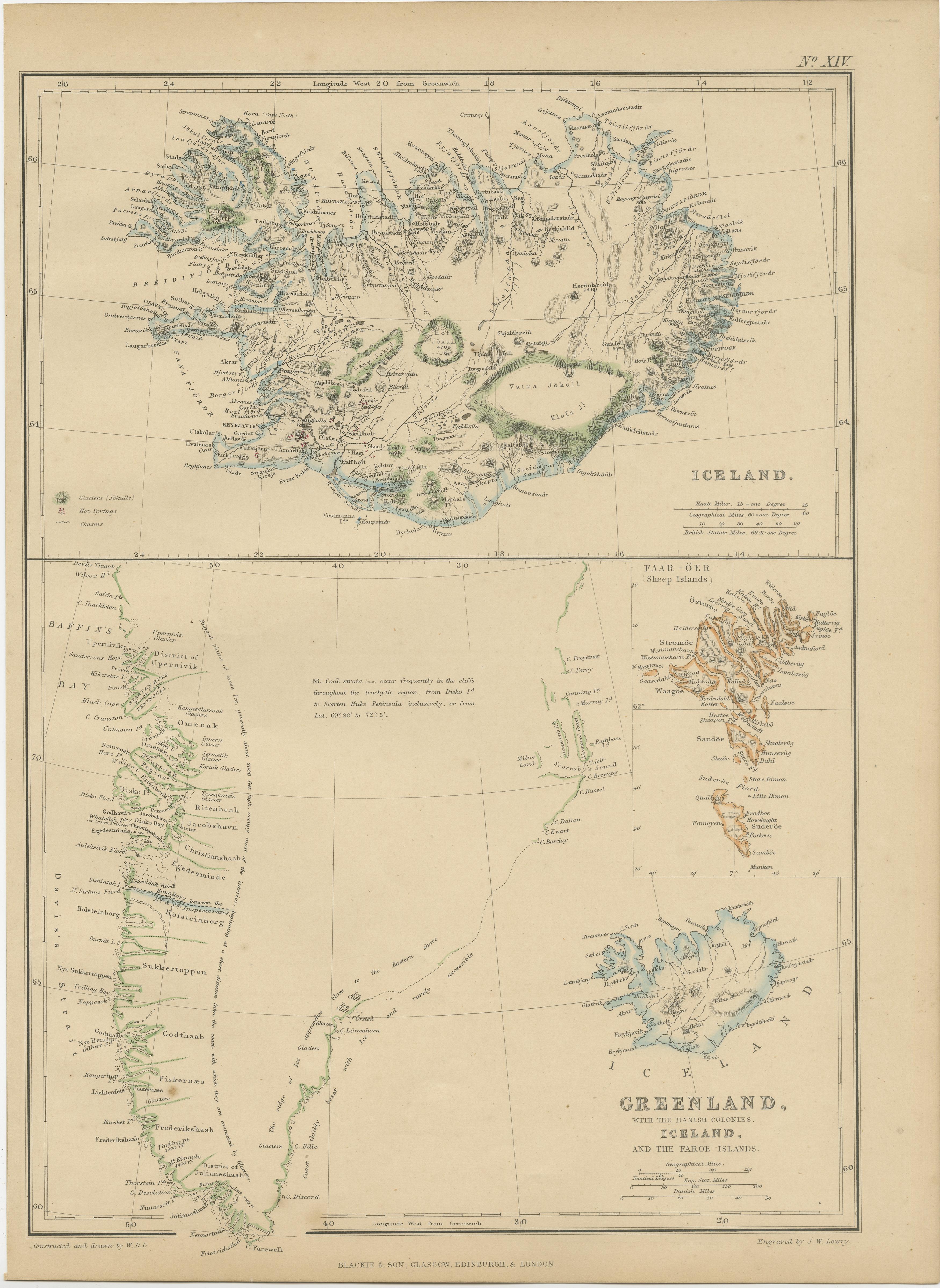
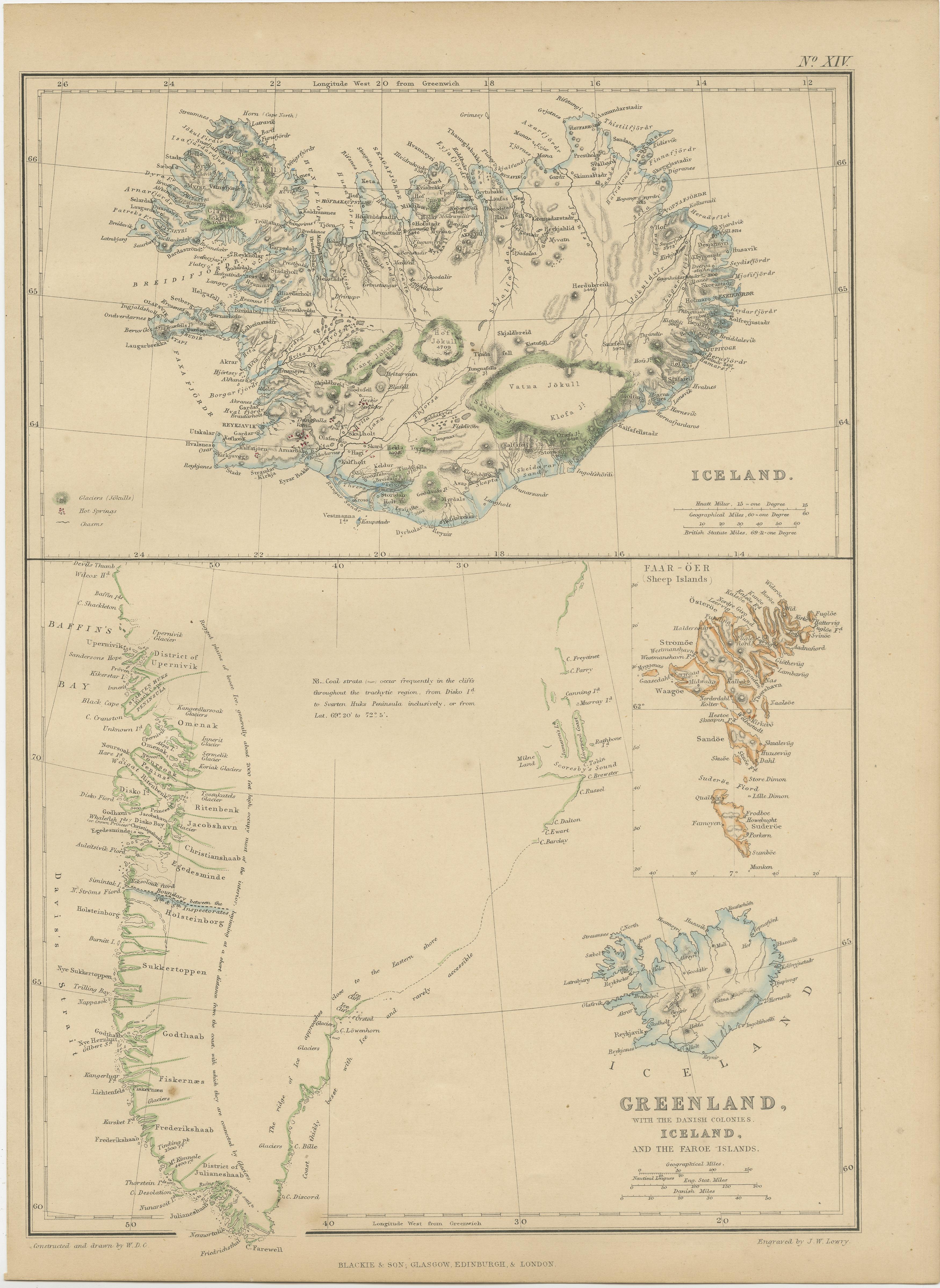
The "1859 Antique Arctic Vista: Greenland, Iceland, and Faroe Islands" is an original antique map from 'The Imperial Atlas of Modern Geography', published by W. G. Blackie in 1859. This map provides a detailed and comprehensive representation of Greenland along with the Danish colonies, Iceland, and the Faroe Islands, as they were understood in the mid-19th century.
Key Features of the Map:
1. **Geographical Detail**: The map covers the expansive and rugged landscapes of Greenland, the volcanic terrain of Iceland, and the archipelago of the Faroe Islands. It likely showcases the topographical features such as Greenland's ice cap, Iceland's geysers and volcanoes, and the steep cliffs of the Faroe Islands.
2. **Political Boundaries**: Reflecting the political realities of the time, the map delineates the territories of Greenland, Iceland, and the Faroe Islands, which were under Danish colonial rule. This provides insight into the historical territorial divisions and governance structures of these regions.
3. **Settlements and Colonies**: The map marks key settlements, particularly in Iceland and the Faroe Islands, and the Danish colonies in Greenland. It highlights the locations of towns, villages, and possibly trading posts or mission stations.
4. **Maritime Features**: Given the significant maritime nature of these regions, the map likely details coastal features, sea routes, and possibly ocean currents, reflecting the importance of the sea in the life and economy of these areas.
5. **Artistic and Aesthetic Elements**: Consistent with the Victorian era's cartographic style, the map may feature decorative borders, an elegant title script, and other artistic flourishes that add to its visual appeal.
6. **Historical Annotations**: The map may include notes or legends providing historical and cultural context, particularly regarding the exploration and colonization of these areas.
7. **Educational and Historical Value**: As a part of 'The Imperial Atlas of Modern Geography', this map serves as an important educational tool, offering a glimpse into the geographical understanding and perceptions of Greenland, Iceland, and the Faroe Islands in the mid-19th century.
This map is not only a valuable item for collectors of antique maps but also a significant resource for historians, geographers, and anyone interested in the history and geography of the Arctic and North Atlantic regions.