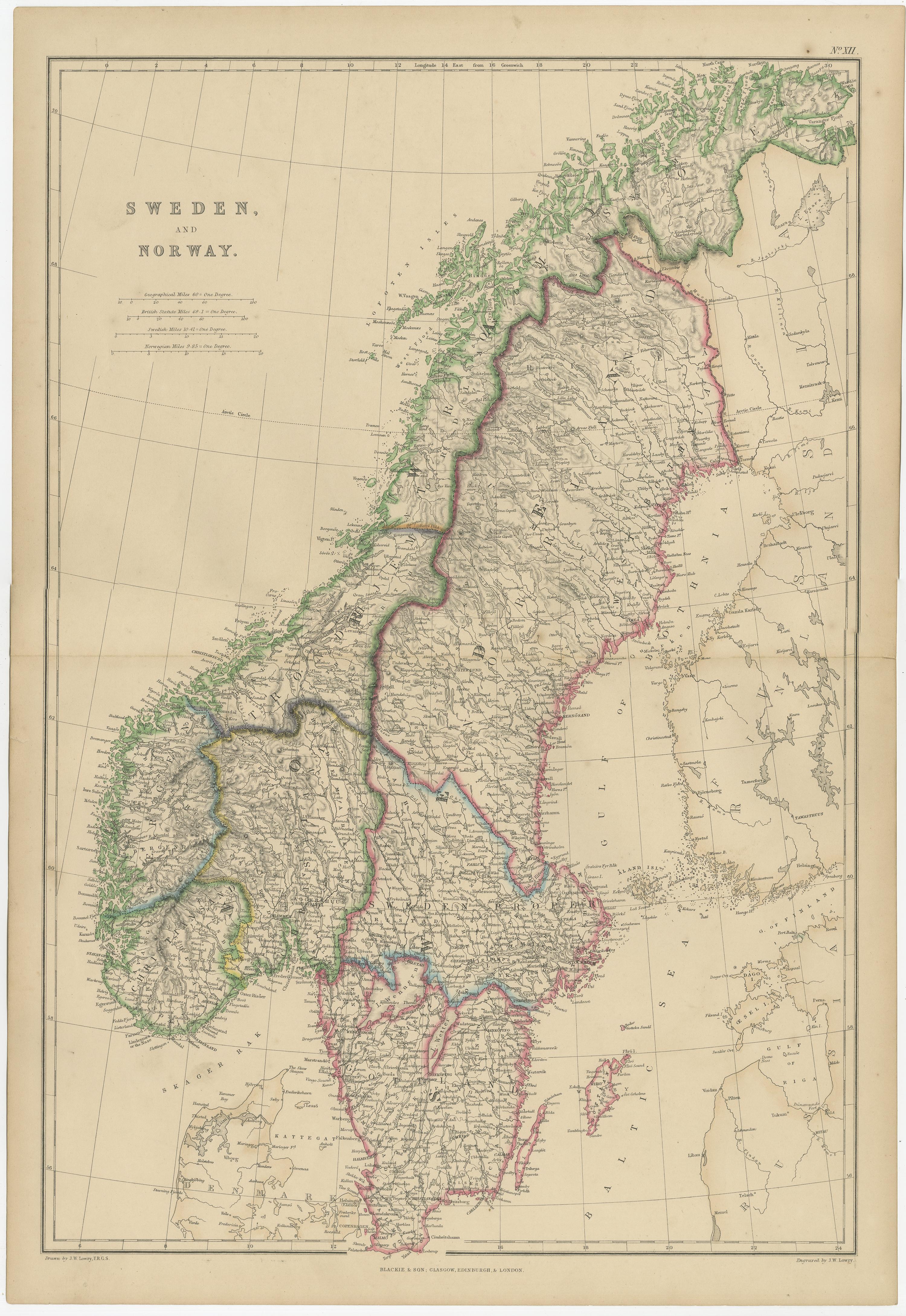
Sweden and Norway, Antique Map, Scandinavian Geography, Blackie Atlas, 1859
€ 320
One of a kind: this is the sheet in the photographs. Ships from Langweer, the Netherlands.
Date
1859
Sheet size
54 × 37 cm (21.3 × 14.6 in)
Condition
Good
Reference
BG-12685-1-12
Condition
Good antique condition. Light overall age toning consistent with age. Minor scattered foxing and light handling marks, mostly confined to the margins. Central fold as issued. No major tears or losses.
About this sheet
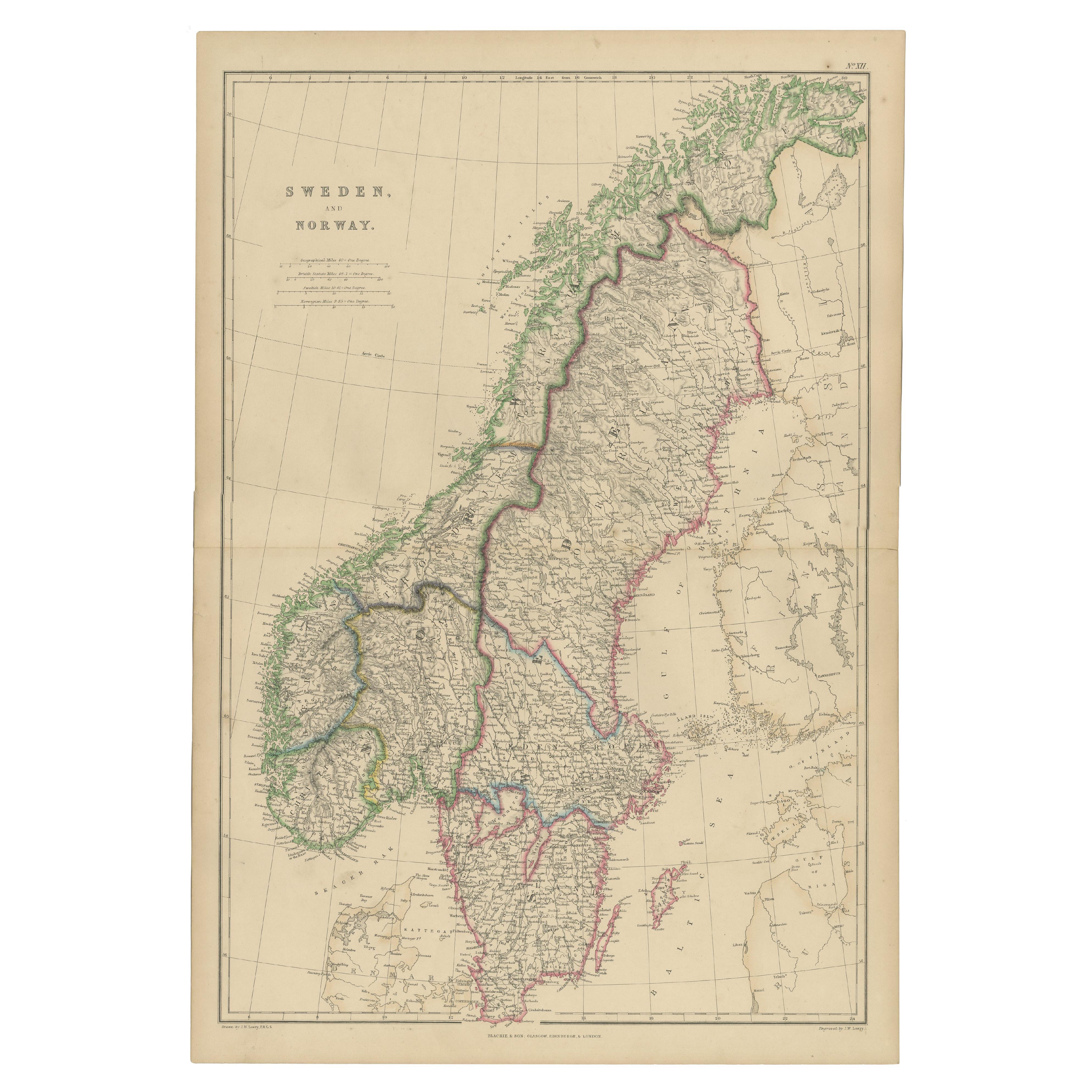
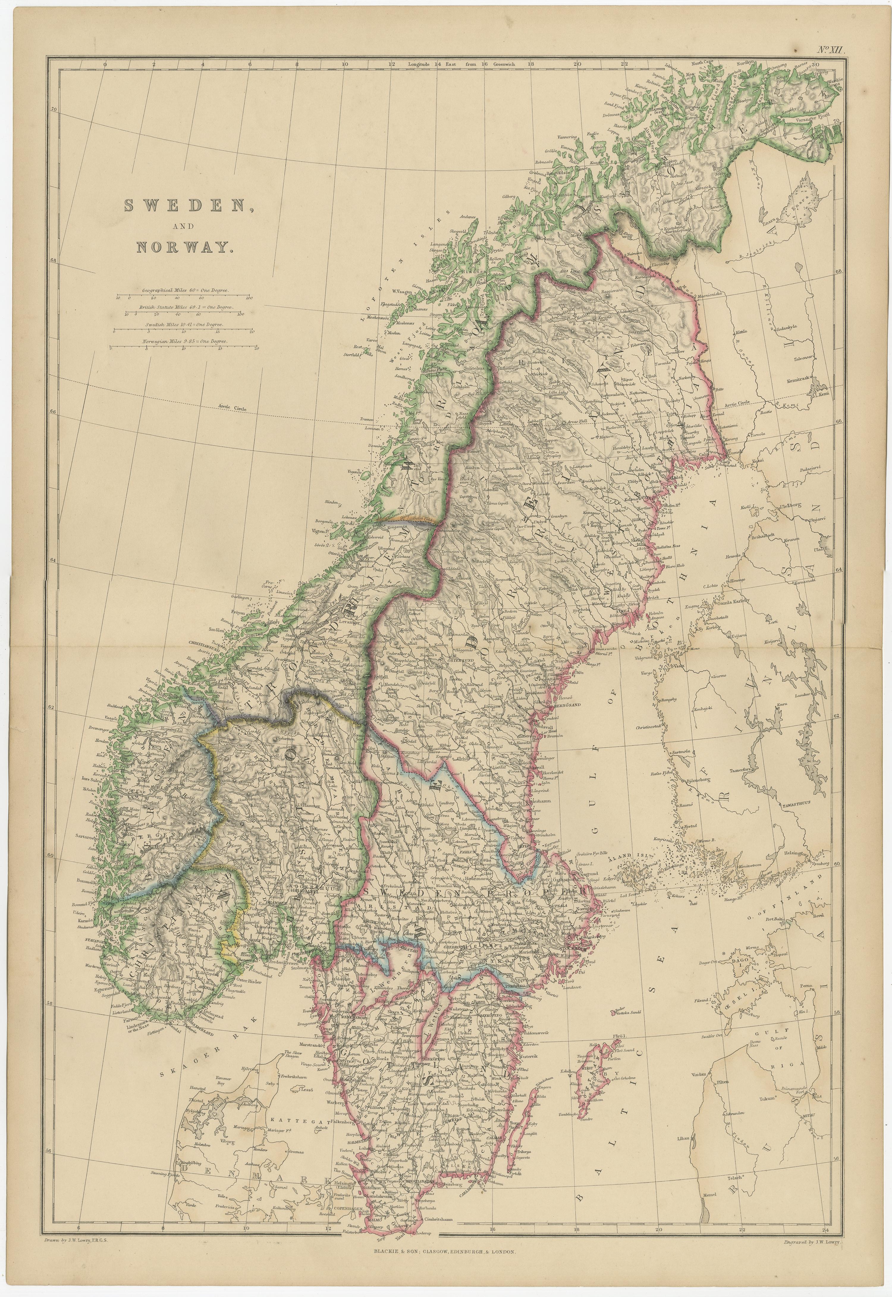
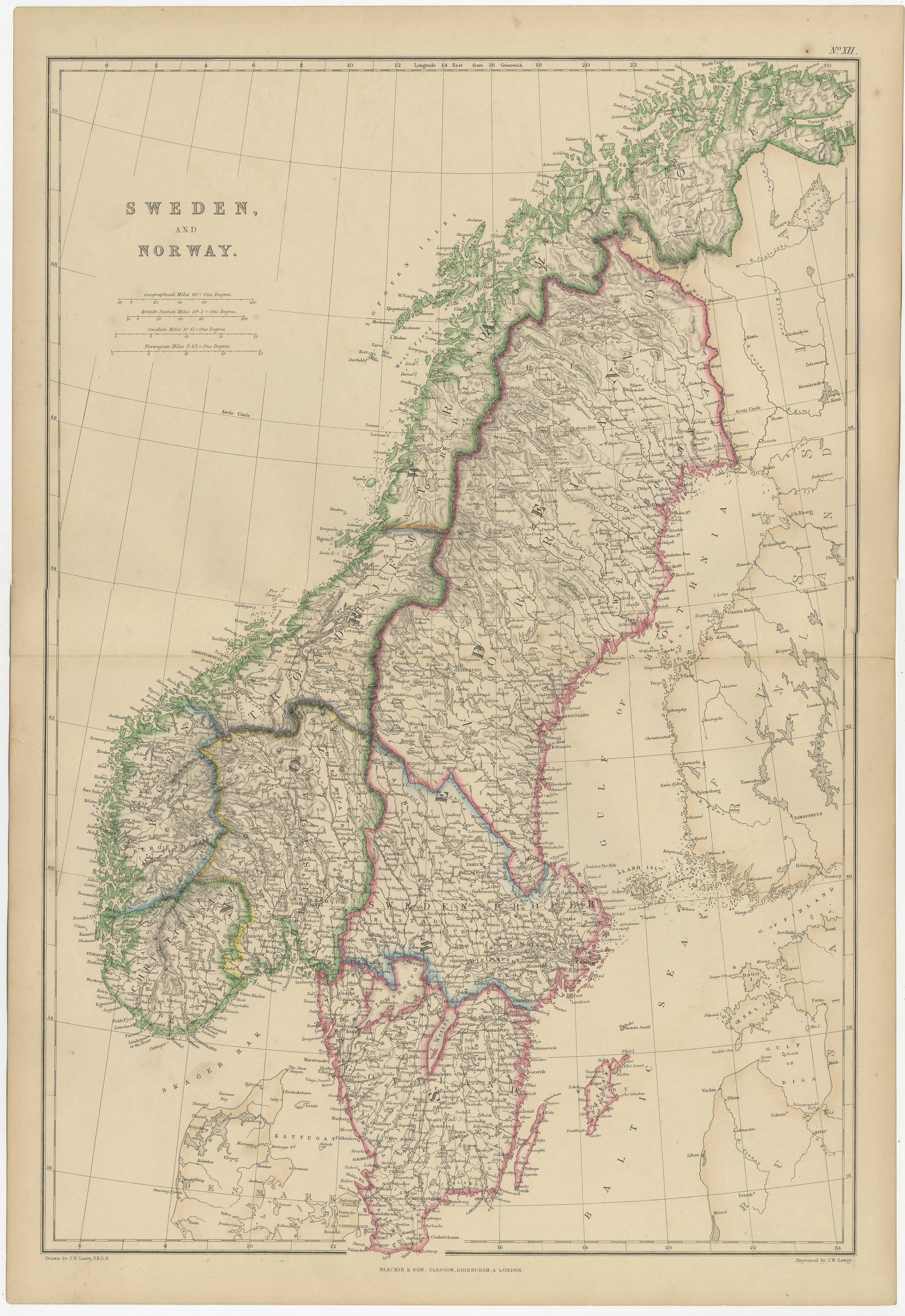
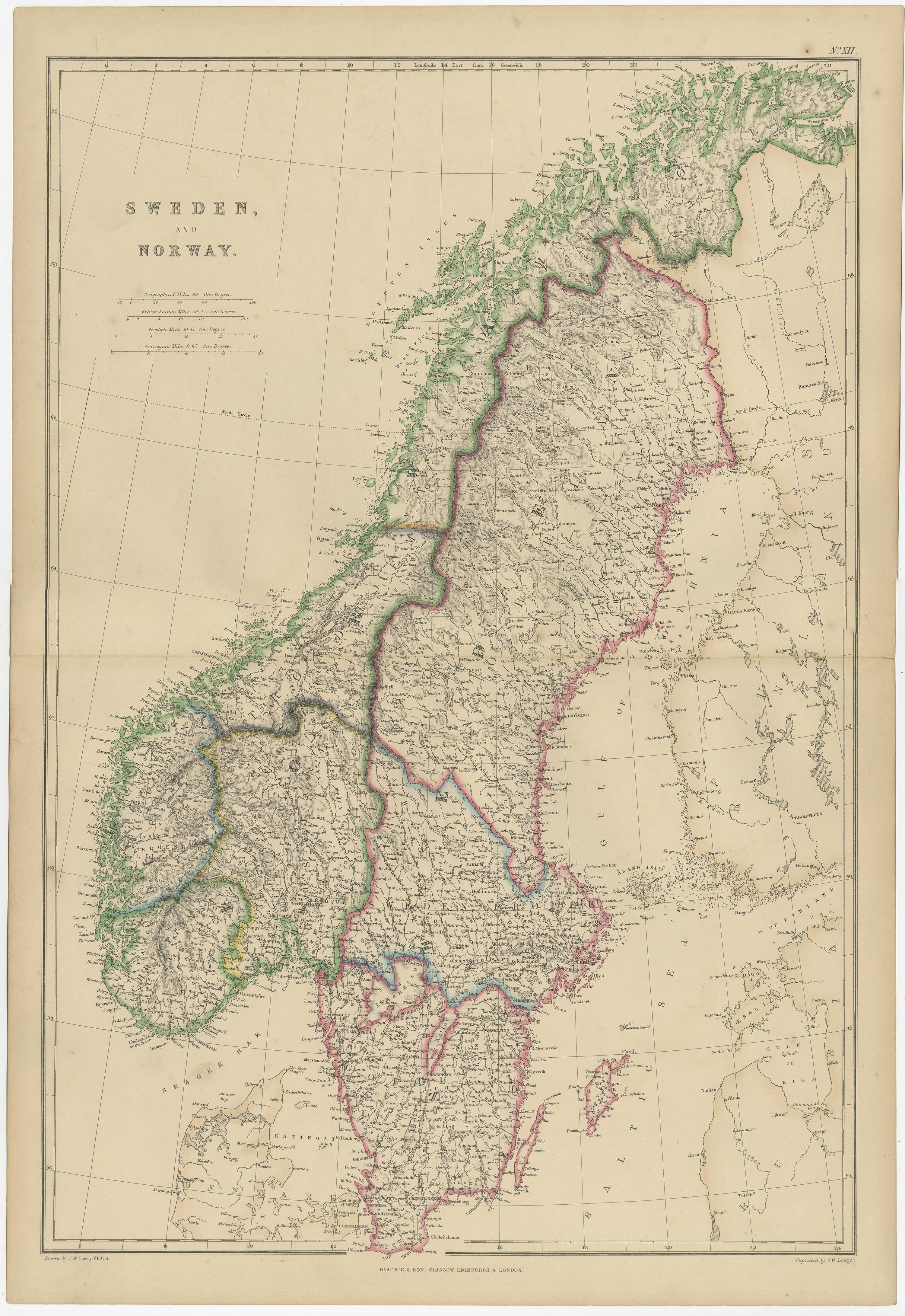
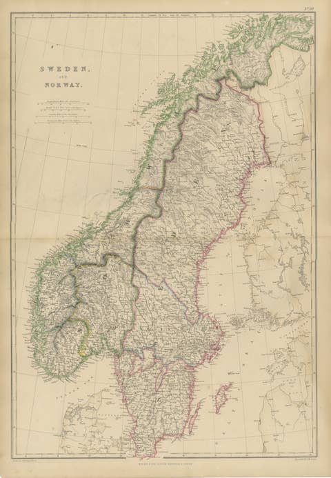
Sweden and Norway, Antique Map, Scandinavian Geography, Blackie Atlas This original antique map depicts Sweden and Norway in fine detail and originates from The Imperial Atlas of Modern Geography, published by W. G. Blackie. Produced during the mid-19th century, it reflects the high cartographic standards associated with British educational and reference atlases of the period.
The map presents the Scandinavian peninsula in a tall vertical format, making it particularly effective as a wall piece. Sweden is outlined in pink and Norway in green, clearly defining national borders while maintaining a calm and balanced visual appearance. The engraved detail is precise and dense, showing mountain ranges, river systems, coastal outlines, towns, and regional divisions. Surrounding seas, including the Baltic Sea and the Gulf of Bothnia, are carefully delineated, providing geographical context without overwhelming the composition.
The restrained original hand coloring enhances readability and adds subtle decorative appeal. This combination of accuracy and elegance makes the map suitable both for collectors of Scandinavian or European cartography and for interior designers seeking historically grounded yet visually quiet wall art. Its vertical proportions and soft palette allow it to work well in both classic and contemporary interiors.
As a product of The Imperial Atlas of Modern Geography, this map represents an era when geography was increasingly systematized and presented for both scholarly and public audiences. It remains a strong example of 19th-century atlas cartography and a timeless decorative object.
Condition report: Good antique condition. Light overall age toning consistent with age. Minor scattered foxing and light handling marks, mostly confined to the margins. Central fold as issued. No major tears or losses.
Framing tips: An ivory or warm cream mat will complement the original coloring and engraved lines. A dark walnut, black, or subtle antique gilt frame provides contrast and suits both traditional and modern interiors. Museum glass is recommended to protect the original paper.
Technique: Copper engraving with original hand coloring Maker: W. G. Blackie, Scotland, mid-19th century